Elevation of Aioi, Rankoshi-chō, Isoya-gun, Hokkaidō -, Japan
Location: Japan > Hokkaido Prefecture > Isoya District > Rankoshi >
Longitude: 140.485971
Latitude: 42.7593827
Elevation: 120m / 394feet
Barometric Pressure: 100KPa
Elevation Map:
Satellite Map:
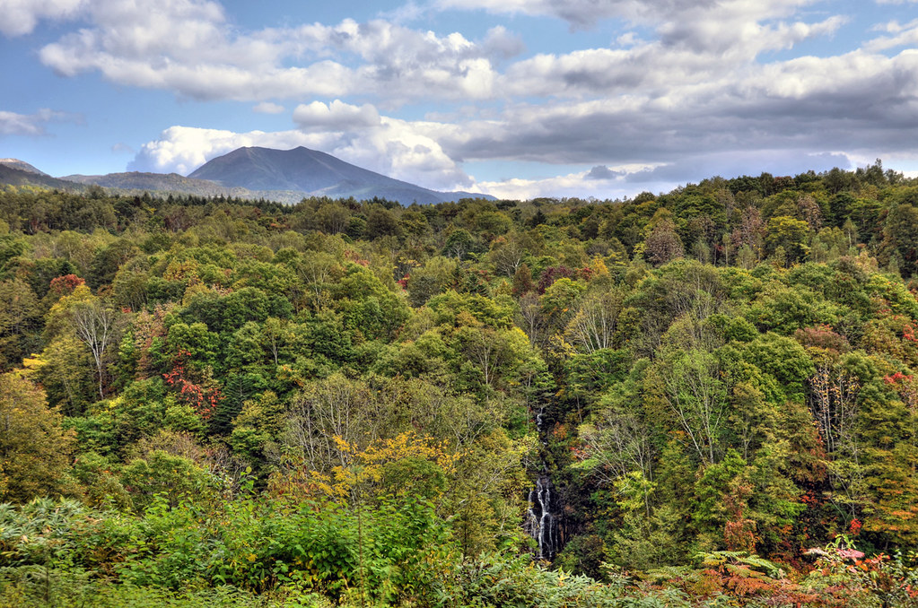
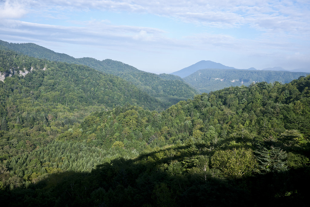
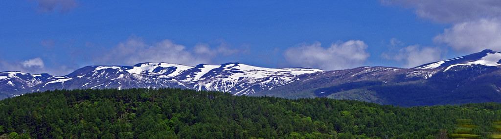
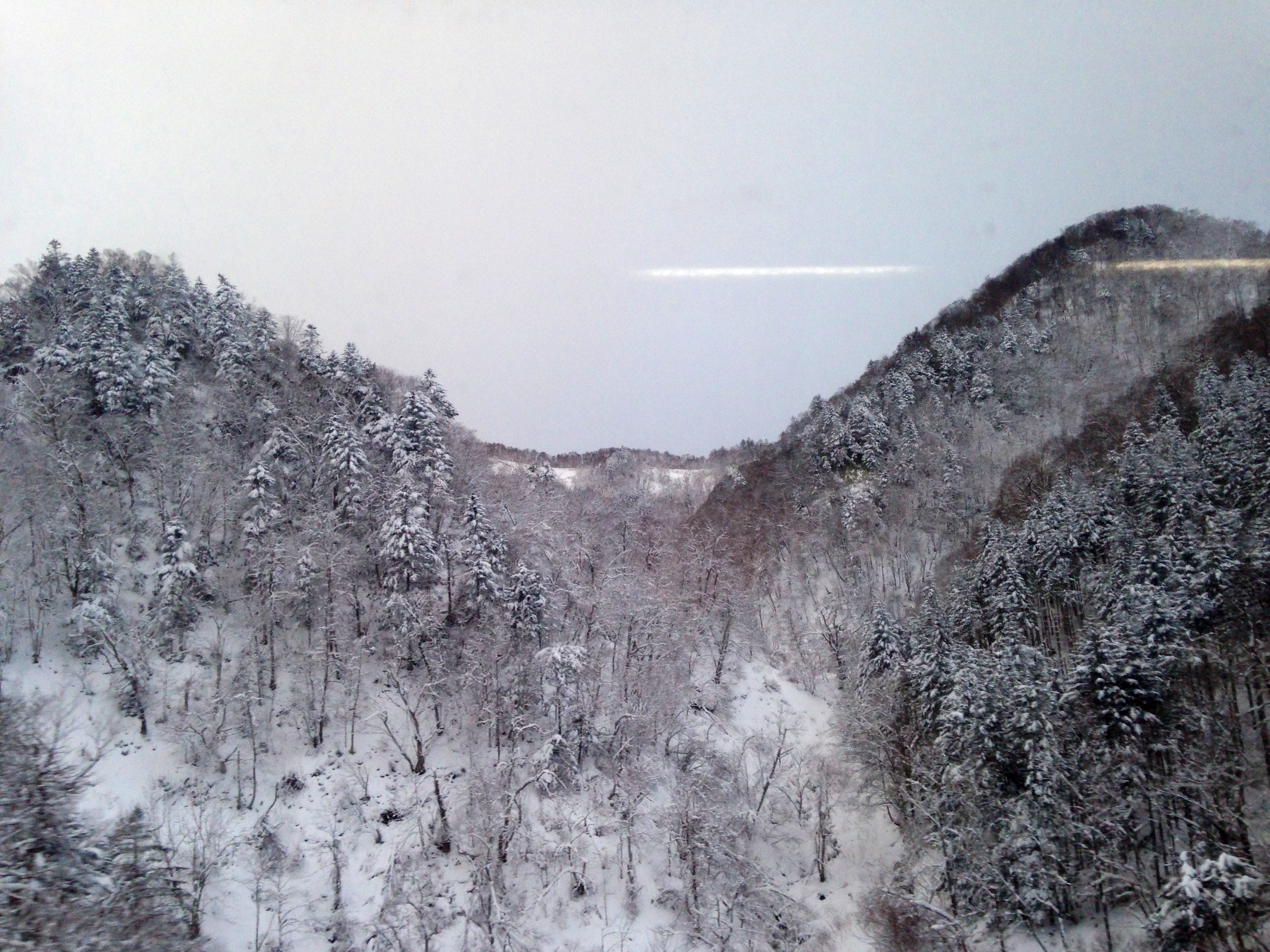
Related Photos:

Great view.

First view of Niseko

ニセコ連峰
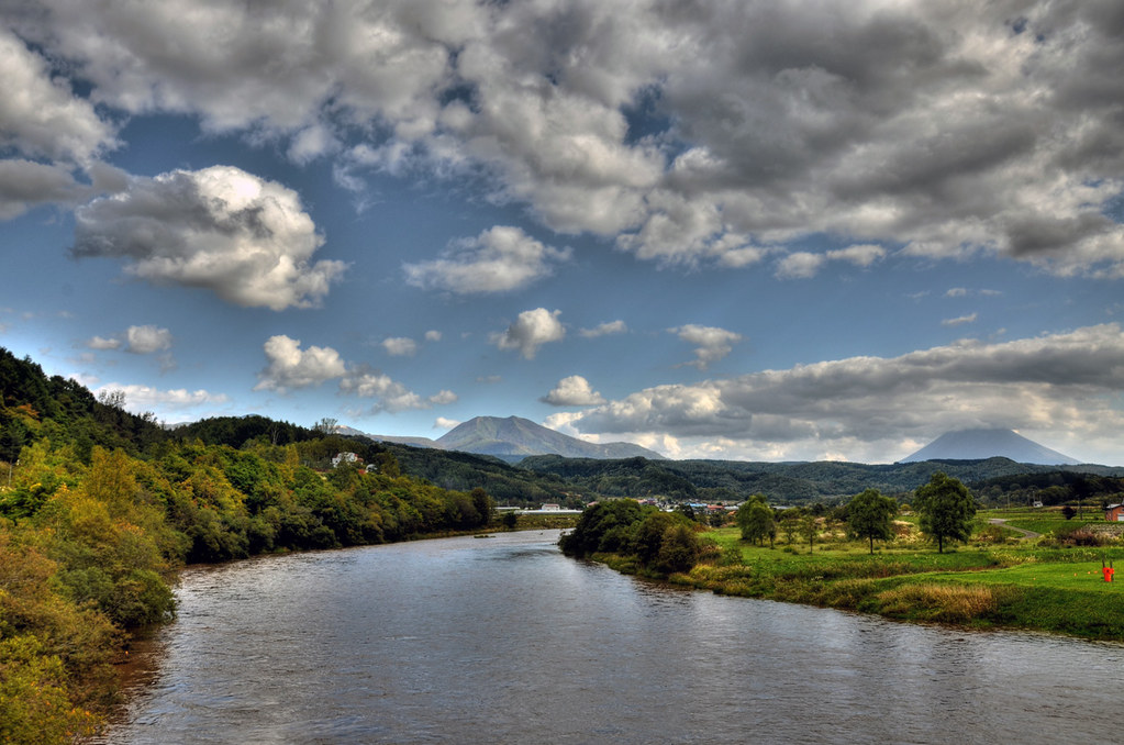
Shiribetsu river
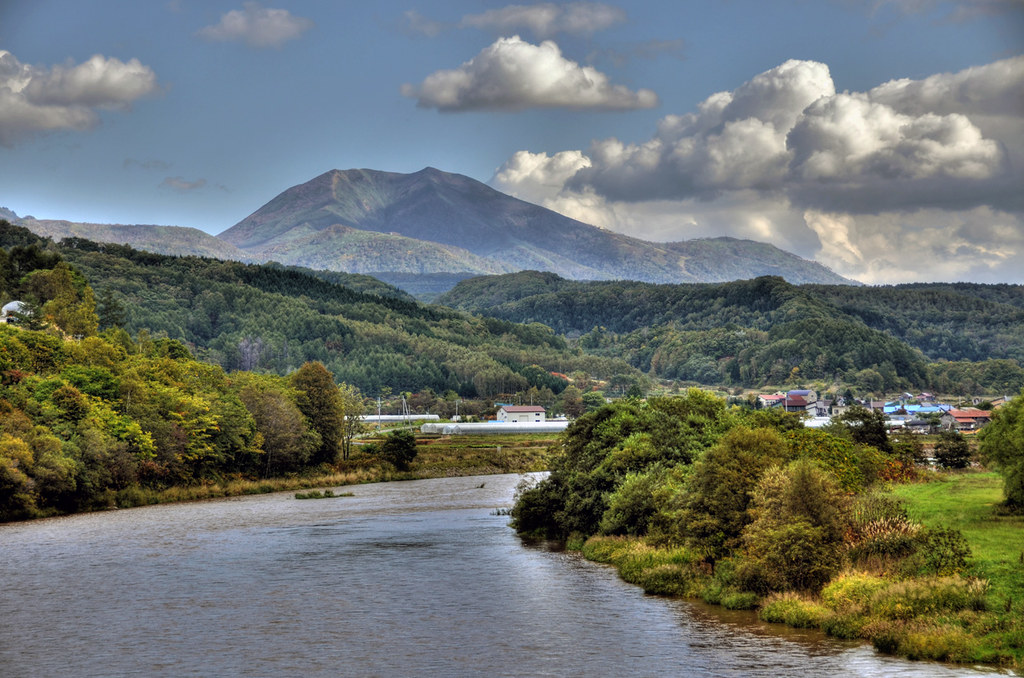
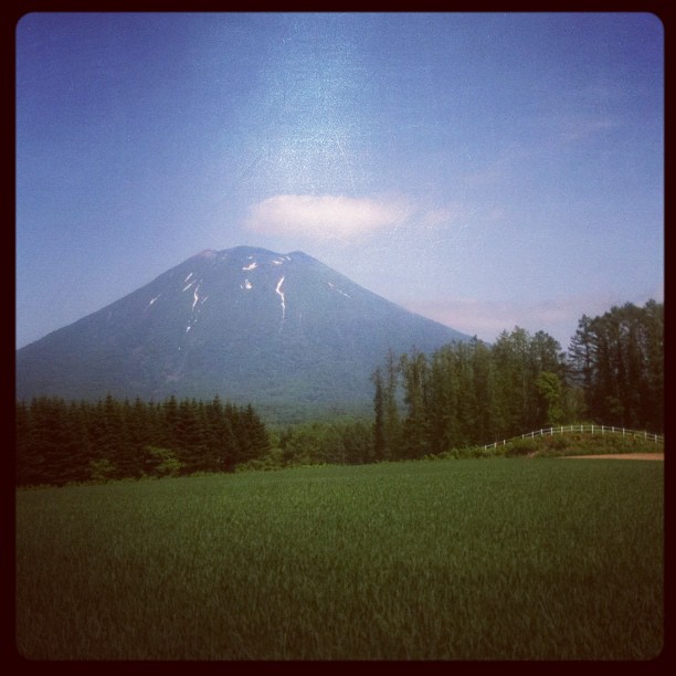
Mt Nisekoannupuri
Mt Nisekoannupuri
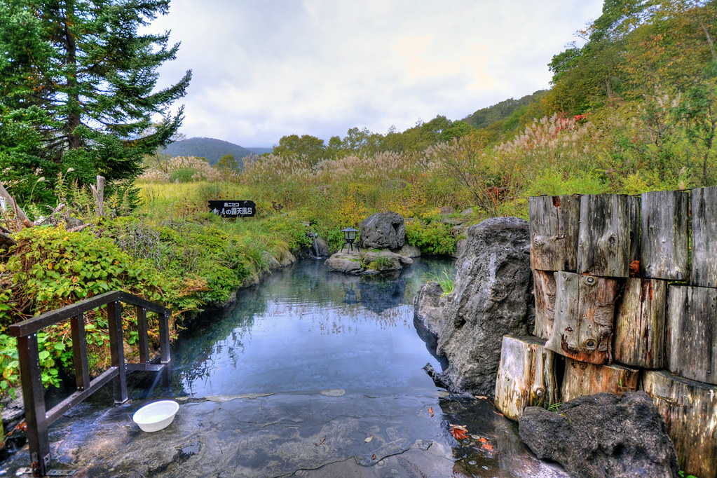
Niimi hot spring - Open air bath
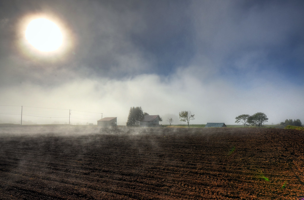
Morning mist
Niseko Summer

温泉が湧き出てる!
散策。甘露水まで666歩のところ。
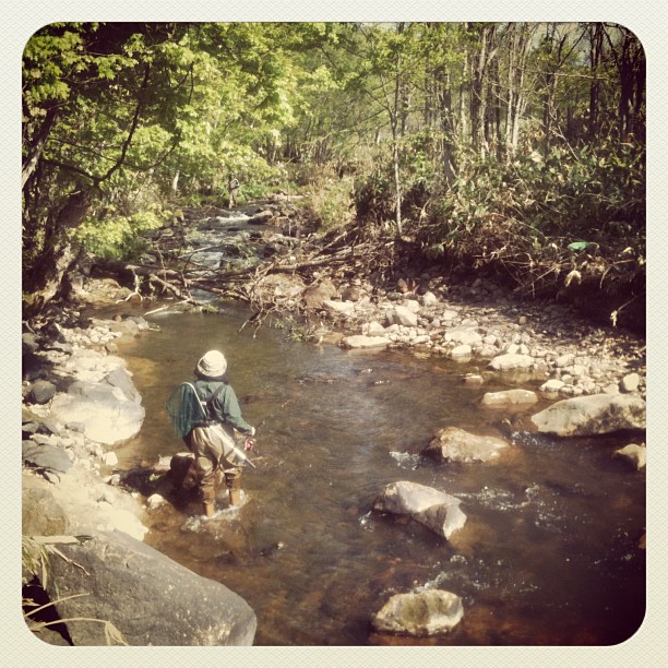
Sunday fishing mission!

コックリ湖
Mt Nisekoannupuri

コックリ湖 Lake Kokkuri

コックリ湖
留寿都

Added Color

コックリ湖
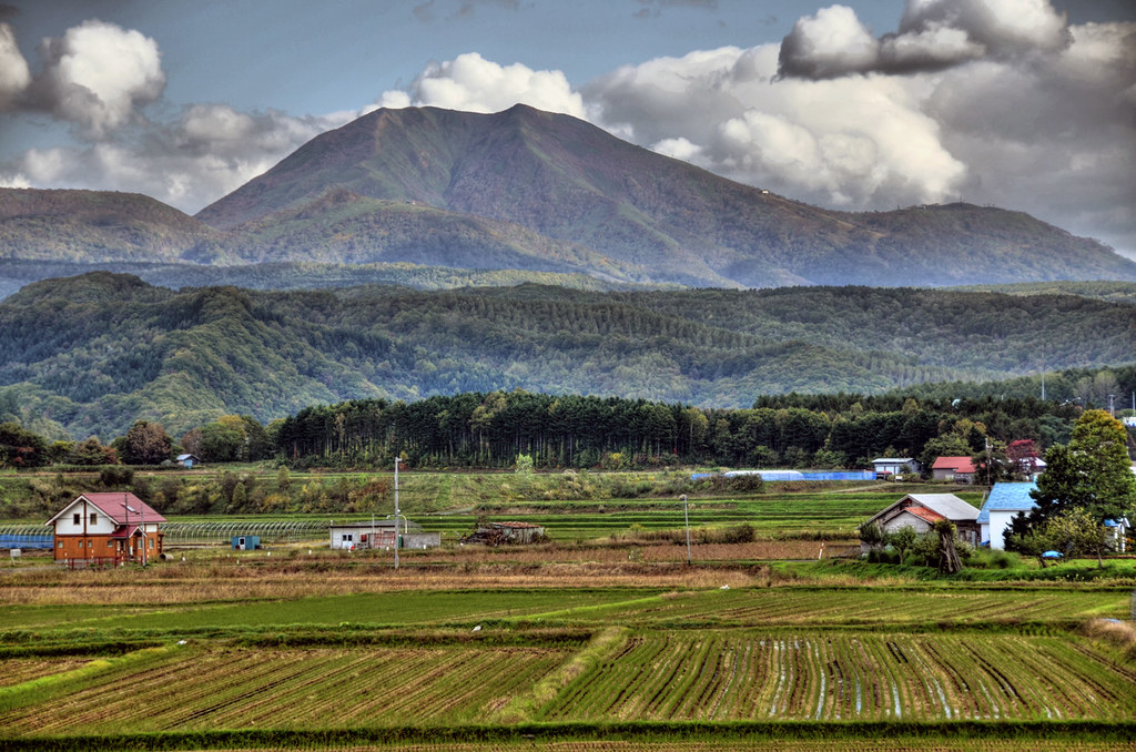
Mountains south of Kutchan, Hokkaido 北海道
2013/12/31蜜月之旅
Topographic Map of Aioi, Rankoshi-chō, Isoya-gun, Hokkaidō -, Japan
Find elevation by address:

Places near Aioi, Rankoshi-chō, Isoya-gun, Hokkaidō -, Japan:
19 Ōtani, Rankoshi-chō, Isoya-gun, Hokkaidō -, Japan
Rankoshi
Isoya District
Hinode
Neppu, Kuromatsunai-chō, Suttsu-gun, Hokkaidō -, Japan
マッサンヒュッテ
554-19 Hinode
Yunosato, Rankoshi-chō, Isoya-gun, Hokkaidō -, Japan
Suttsu District
-11 Shizukari, Oshamanbe-chō, Yamakoshi-gun, Hokkaidō -, Japan
34 Minamisakkai, Kuromatsunai-chō, Suttsu-gun, Hokkaidō -, Japan
Kuromatsunai
Warabitai, Oshamanbe-chō, Yamakoshi-gun, Hokkaidō -, Japan
-1 Aioi, Iwanai-chō, Iwanai-gun, Hokkaidō -, Japan
28-15 Oikomi, Kyōwa-chō, Iwanai-gun, Hokkaidō -, Japan
Iwanai
Tarukishi-20 Tarukishichō, Suttsu-chō, Suttsu-gun, Hokkaidō -, Japan
41 Futaba, Oshamanbe-chō, Yamakoshi-gun, Hokkaidō -, Japan
Suttsu
Oshamanbe
Recent Searches:
- Elevation of Steadfast Ct, Daphne, AL, USA
- Elevation of Lagasgasan, X+CQH, Tiaong, Quezon, Philippines
- Elevation of Rojo Ct, Atascadero, CA, USA
- Elevation of Flagstaff Drive, Flagstaff Dr, North Carolina, USA
- Elevation of Avery Ln, Lakeland, FL, USA
- Elevation of Woolwine, VA, USA
- Elevation of Lumagwas Diversified Farmers Multi-Purpose Cooperative, Lumagwas, Adtuyon, RV32+MH7, Pangantucan, Bukidnon, Philippines
- Elevation of Homestead Ridge, New Braunfels, TX, USA
- Elevation of Orchard Road, Orchard Rd, Marlborough, NY, USA
- Elevation of 12 Hutchinson Woods Dr, Fletcher, NC, USA