Elevation of Ainan, Minamiuwa District, Ehime Prefecture, Japan
Location: Japan > Ehime Prefecture > Minamiuwa District >
Longitude: 132.583323
Latitude: 32.9621642
Elevation: 15m / 49feet
Barometric Pressure: 101KPa
Elevation Map:
Satellite Map:
Related Photos:
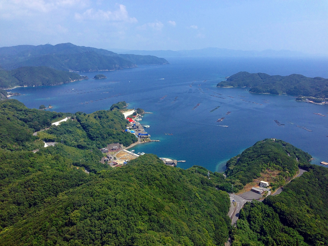
The view of Uwa-Sea.
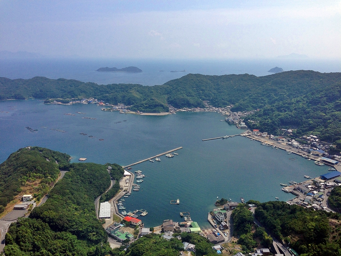
The view of Uwa-Sea.
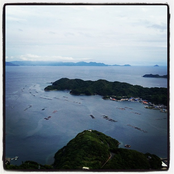
いいながめでしたー。しかも貸し切り!
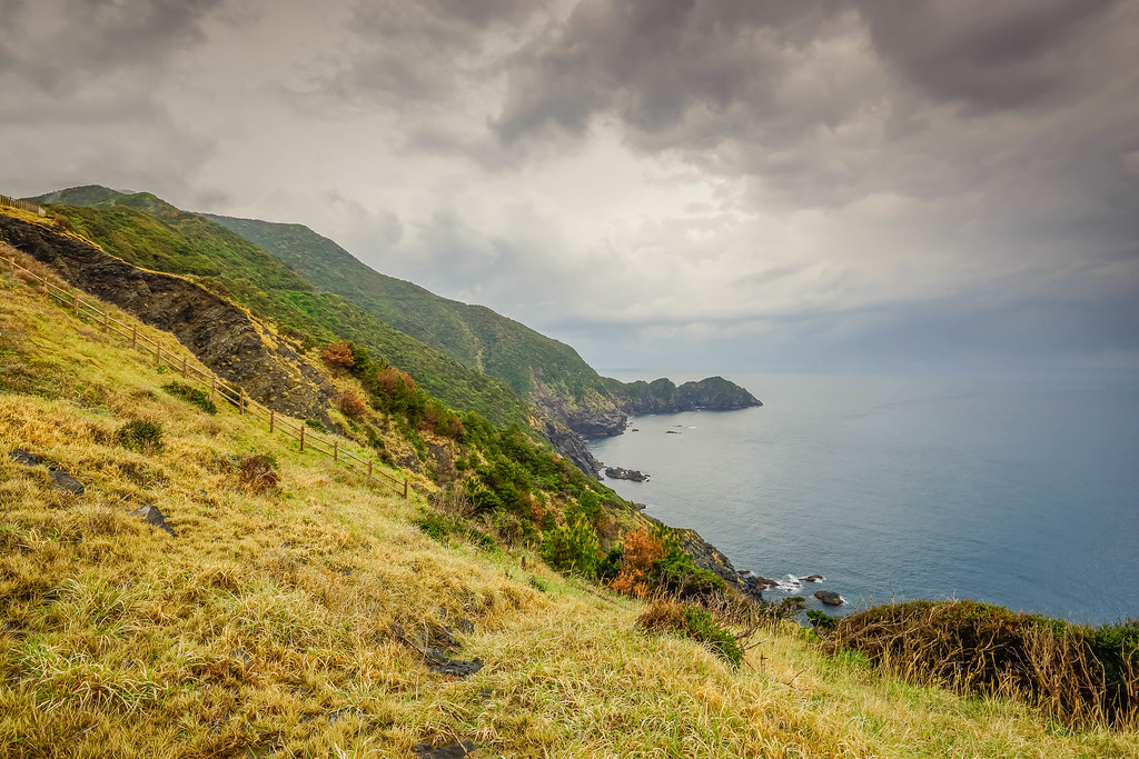
Cape Koumo (Ehime, Japan)

宿毛湾
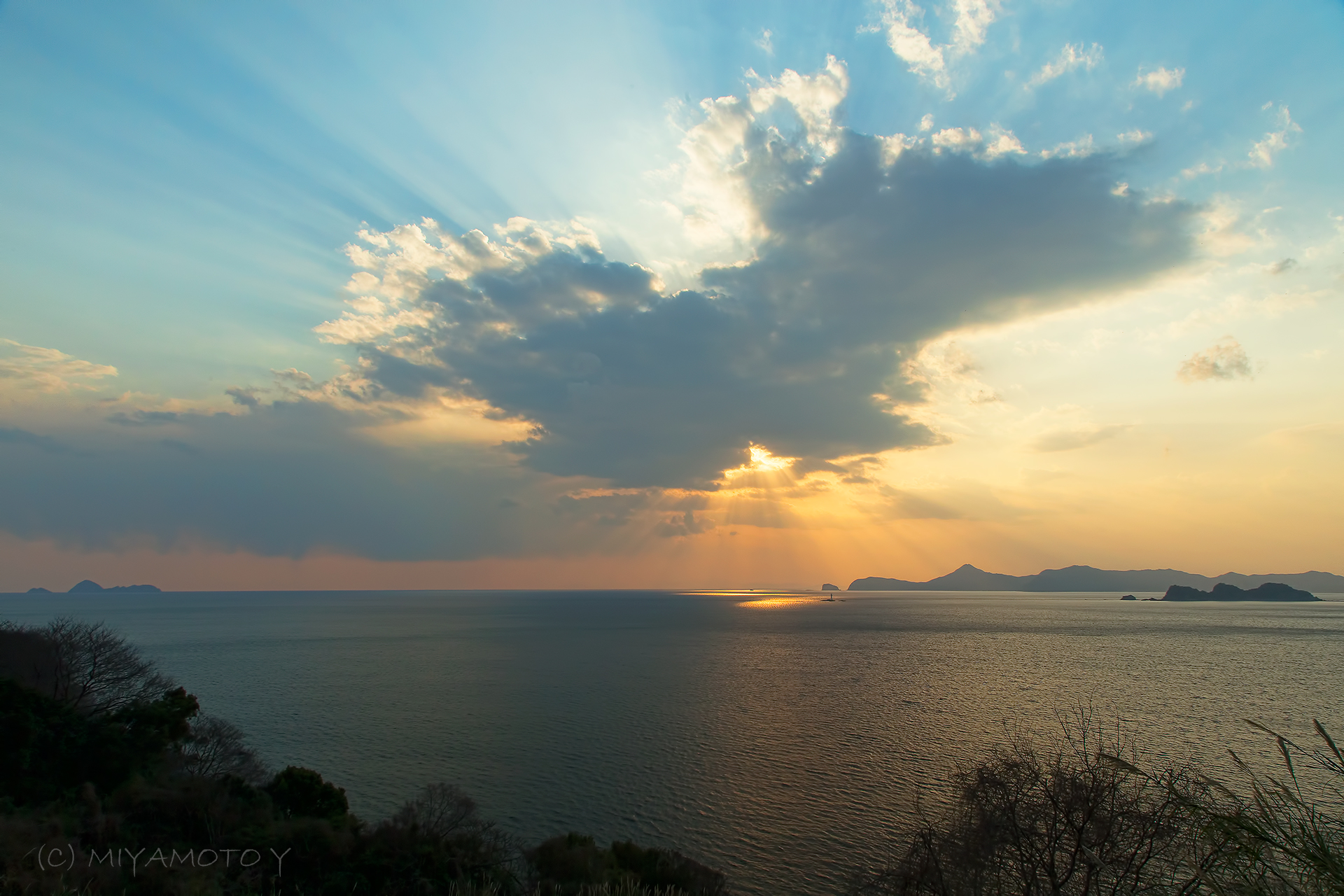
Sea and cloud

宿毛湾

風力発電

宿毛湾

宿毛港
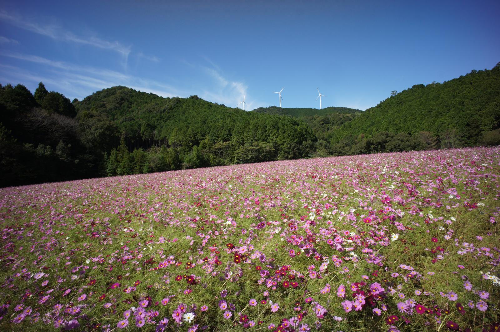
秋桜08678
Topographic Map of Ainan, Minamiuwa District, Ehime Prefecture, Japan
Find elevation by address:

Places in Ainan, Minamiuwa District, Ehime Prefecture, Japan:
-1 Mishōhirajō, Ainan-chō, Minamiuwa-gun, Ehime-ken -, Japan
Midoriotsu, Ainan-chō, Minamiuwa-gun, Ehime-ken -, Japan
Ajiro, Ainan-chō, Minamiuwa-gun, Ehime-ken -, Japan
Places near Ainan, Minamiuwa District, Ehime Prefecture, Japan:
-1 Mishōhirajō, Ainan-chō, Minamiuwa-gun, Ehime-ken -, Japan
Midoriotsu, Ainan-chō, Minamiuwa-gun, Ehime-ken -, Japan
Minamiuwa District
7 Chome-5-39 Chūō, Sukumo-shi, Kōchi-ken -, Japan
Sukumo
Hiromi, Ōtsuki-chō, Hata-gun, Kōchi-ken -, Japan
Hiromi, Ōtsuki-chō, Hata-gun, Kōchi-ken -, Japan
Otsuki
Ajiro, Ainan-chō, Minamiuwa-gun, Ehime-ken -, Japan
1 Chome-3 Marunouchi
Uwajima Castle
Uwajima
Mihara
Kurusuno, Mihara-mura, Hata-gun, Kōchi-ken -, Japan
Hata District
Kaminagatani, Mihara-mura, Hata-gun, Kōchi-ken -, Japan
Matsuno
Nobinono, Matsuno-chō, Kitauwa-gun, Ehime-ken -, Japan
4- Yoshidachō Chinaga, Uwajima-shi, Ehime-ken -, Japan
Yoshidachō Asakawa, Uwajima-shi, Ehime-ken -, Japan
Recent Searches:
- Elevation of 72-31 Metropolitan Ave, Middle Village, NY, USA
- Elevation of 76 Metropolitan Ave, Brooklyn, NY, USA
- Elevation of Alisal Rd, Solvang, CA, USA
- Elevation of Vista Blvd, Sparks, NV, USA
- Elevation of 15th Ave SE, St. Petersburg, FL, USA
- Elevation of Beall Road, Beall Rd, Florida, USA
- Elevation of Leguwa, Nepal
- Elevation of County Rd, Enterprise, AL, USA
- Elevation of Kolchuginsky District, Vladimir Oblast, Russia
- Elevation of Shustino, Vladimir Oblast, Russia