Elevation of Ain Assad Air Base, Heet, Iraq
Location: Iraq > Al Anbar Governorate >
Longitude: 42.442989
Latitude: 33.793896
Elevation: 177m / 581feet
Barometric Pressure: 99KPa
Elevation Map:
Satellite Map:
Related Photos:
Failaka Island
First Flight

Al Asad Sunset
البغدادي -غرب العراق

Statsministeren i Irak

Statsministeren i Irak
Wadi near Al-Baghdadi (Euphrates Front)

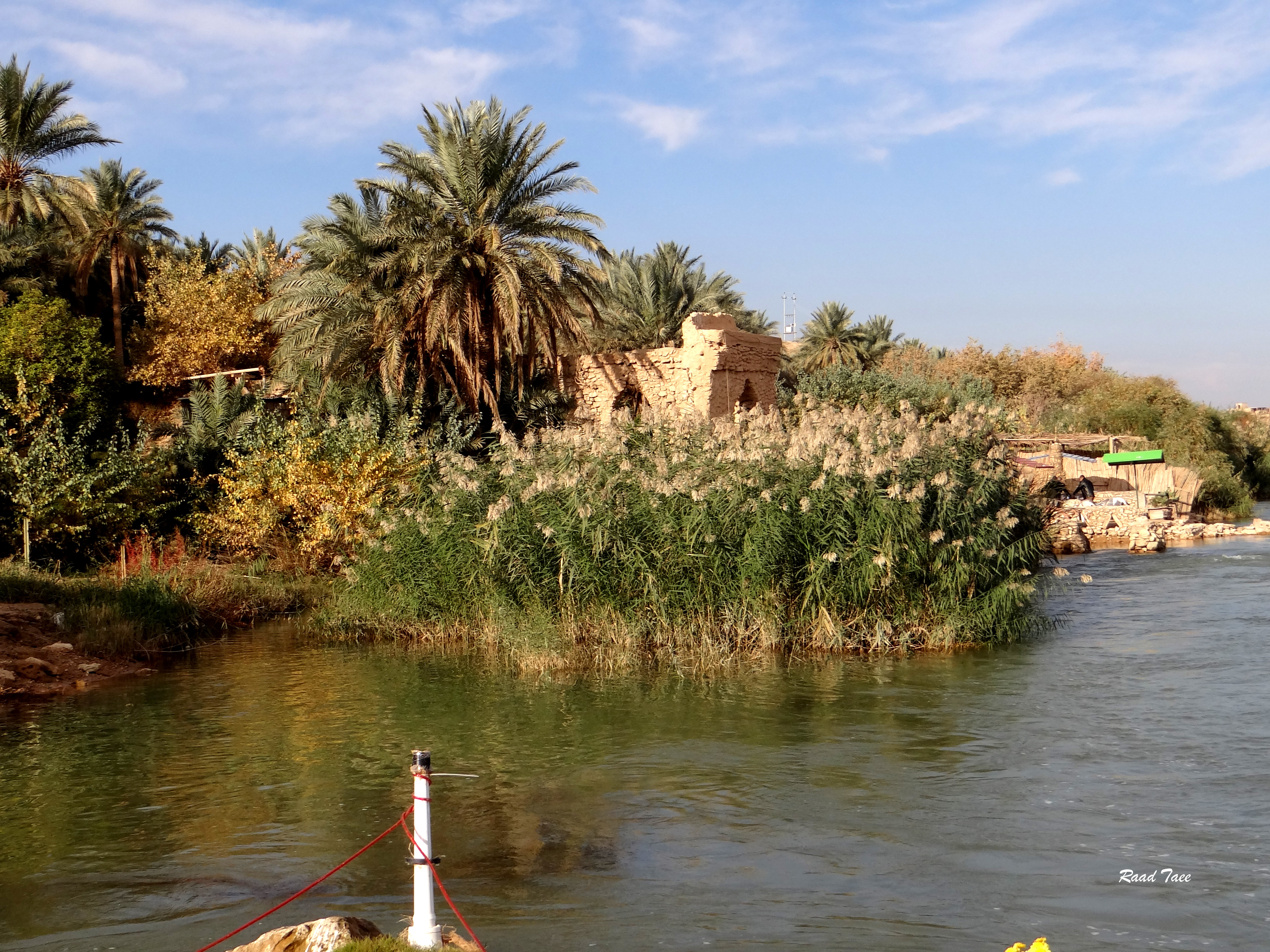
Abraham's Oasis
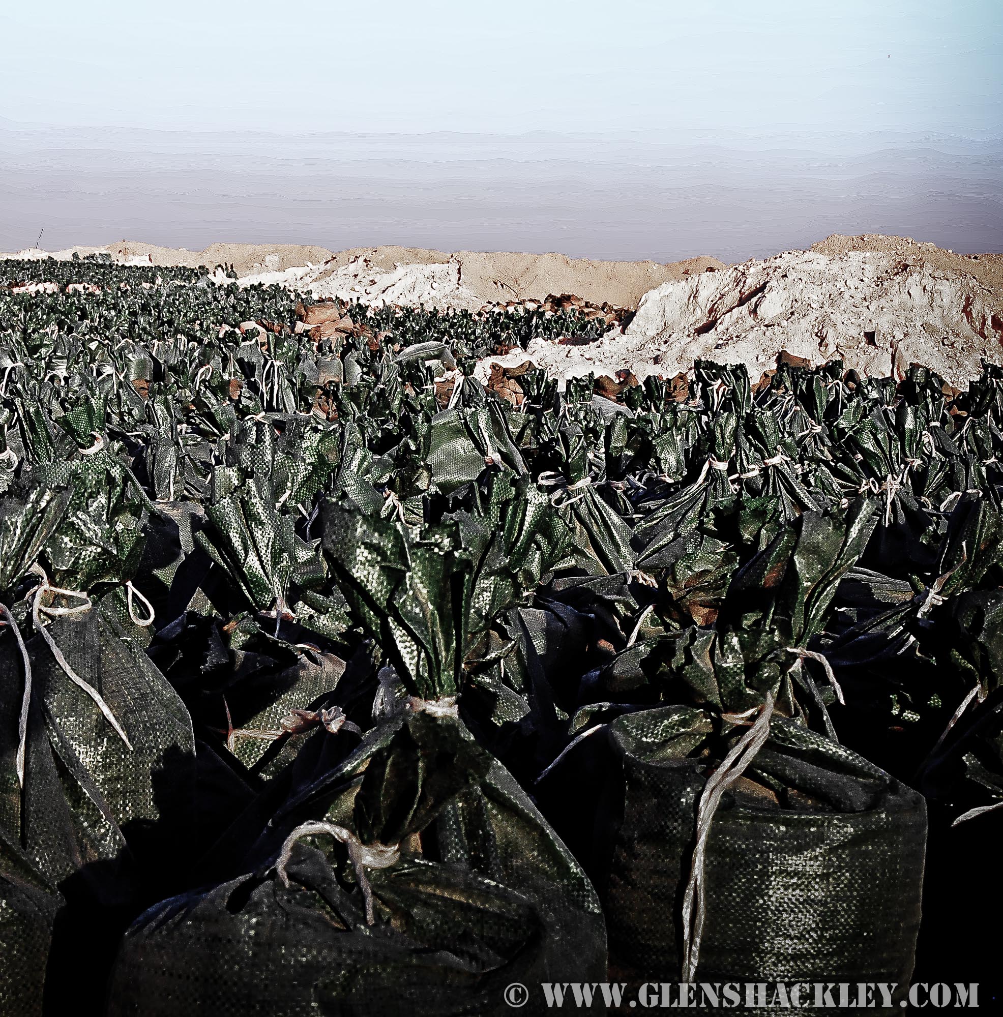
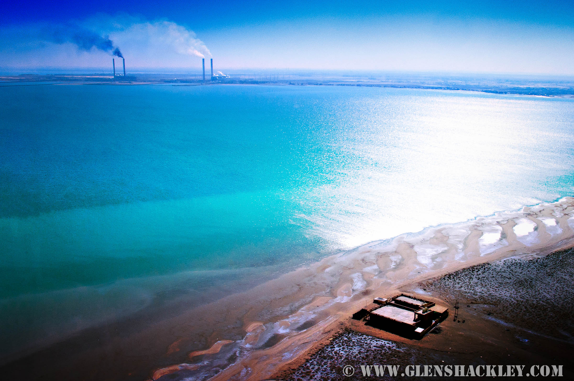
Sea of Sandbags
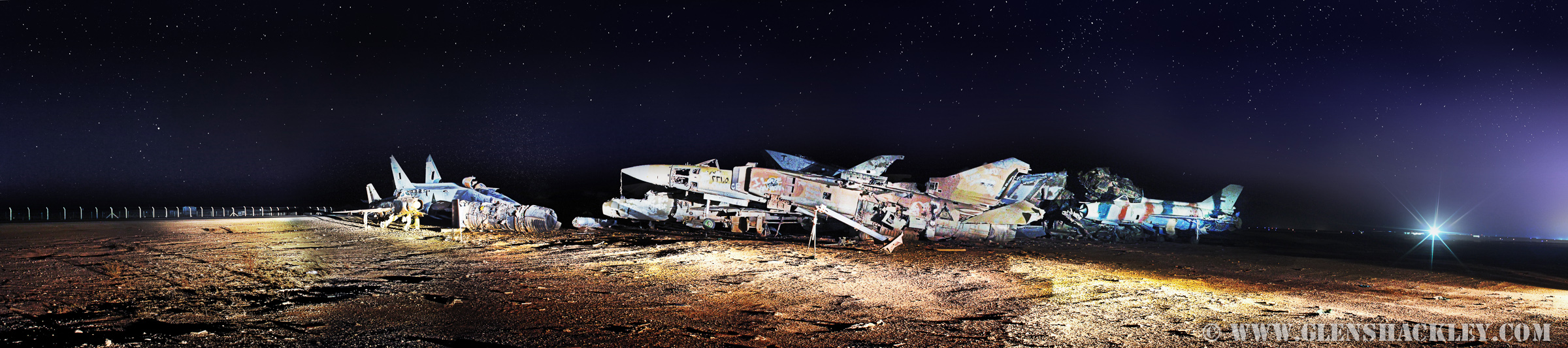
PLANE PANO1

Abraham's Friends

حتى زهور الشتاء ... بيضاء
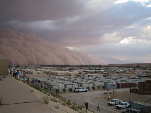
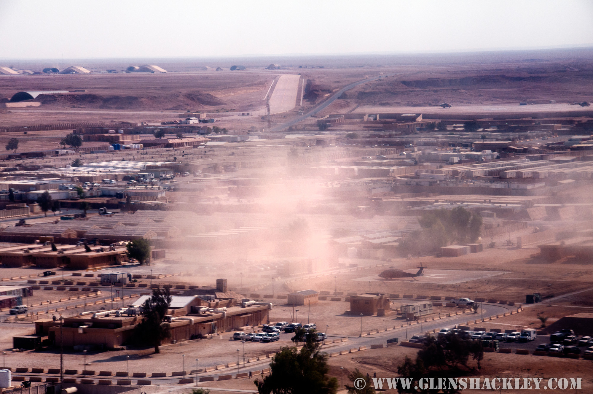
Sandstorm - Base
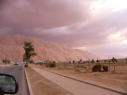
Sandstorm - Road
Topographic Map of Ain Assad Air Base, Heet, Iraq
Find elevation by address:

Places near Ain Assad Air Base, Heet, Iraq:
Recent Searches:
- Elevation of Fern Rd, Whitmore, CA, USA
- Elevation of 62 Abbey St, Marshfield, MA, USA
- Elevation of Fernwood, Bradenton, FL, USA
- Elevation of Felindre, Swansea SA5 7LU, UK
- Elevation of Leyte Industrial Development Estate, Isabel, Leyte, Philippines
- Elevation of W Granada St, Tampa, FL, USA
- Elevation of Pykes Down, Ivybridge PL21 0BY, UK
- Elevation of Jalan Senandin, Lutong, Miri, Sarawak, Malaysia
- Elevation of Bilohirs'k
- Elevation of 30 Oak Lawn Dr, Barkhamsted, CT, USA