Elevation of Aida District, Okayama Prefecture, Japan
Location: Japan > Okayama Prefecture >
Longitude: 134.333333
Latitude: 35.166667
Elevation: 313m / 1027feet
Barometric Pressure: 98KPa
Elevation Map:
Satellite Map:
Related Photos:

himawari '12 - sunflower #2 (Sayou-tyou, Hyogo)

PhoTones Works #6684

Sunrise at Nishi Harima Observatory
イマココ
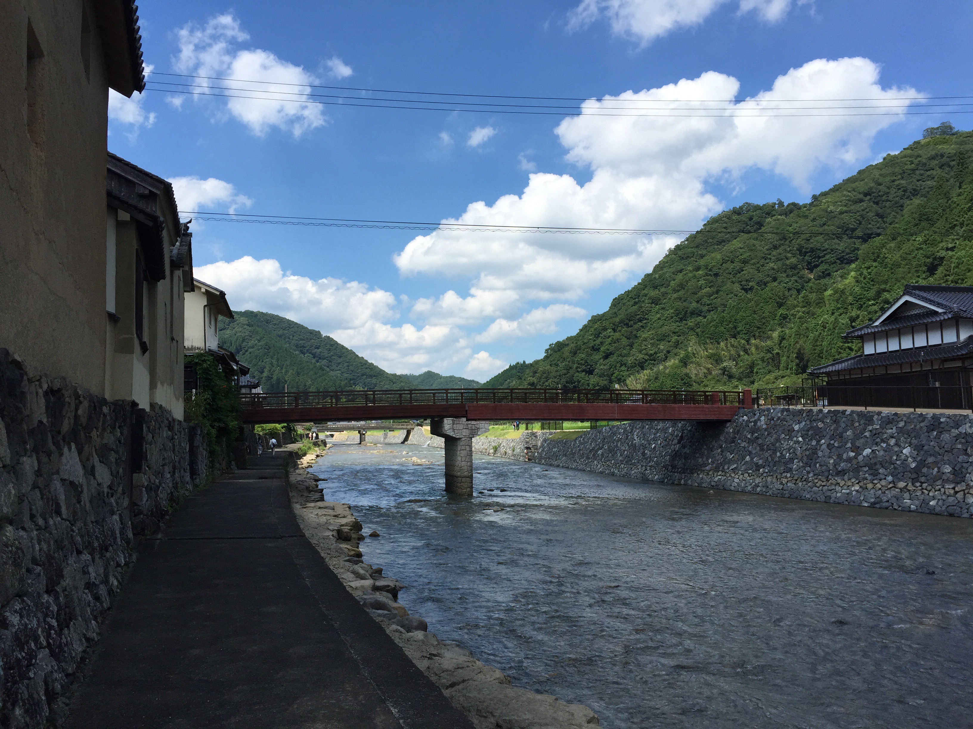
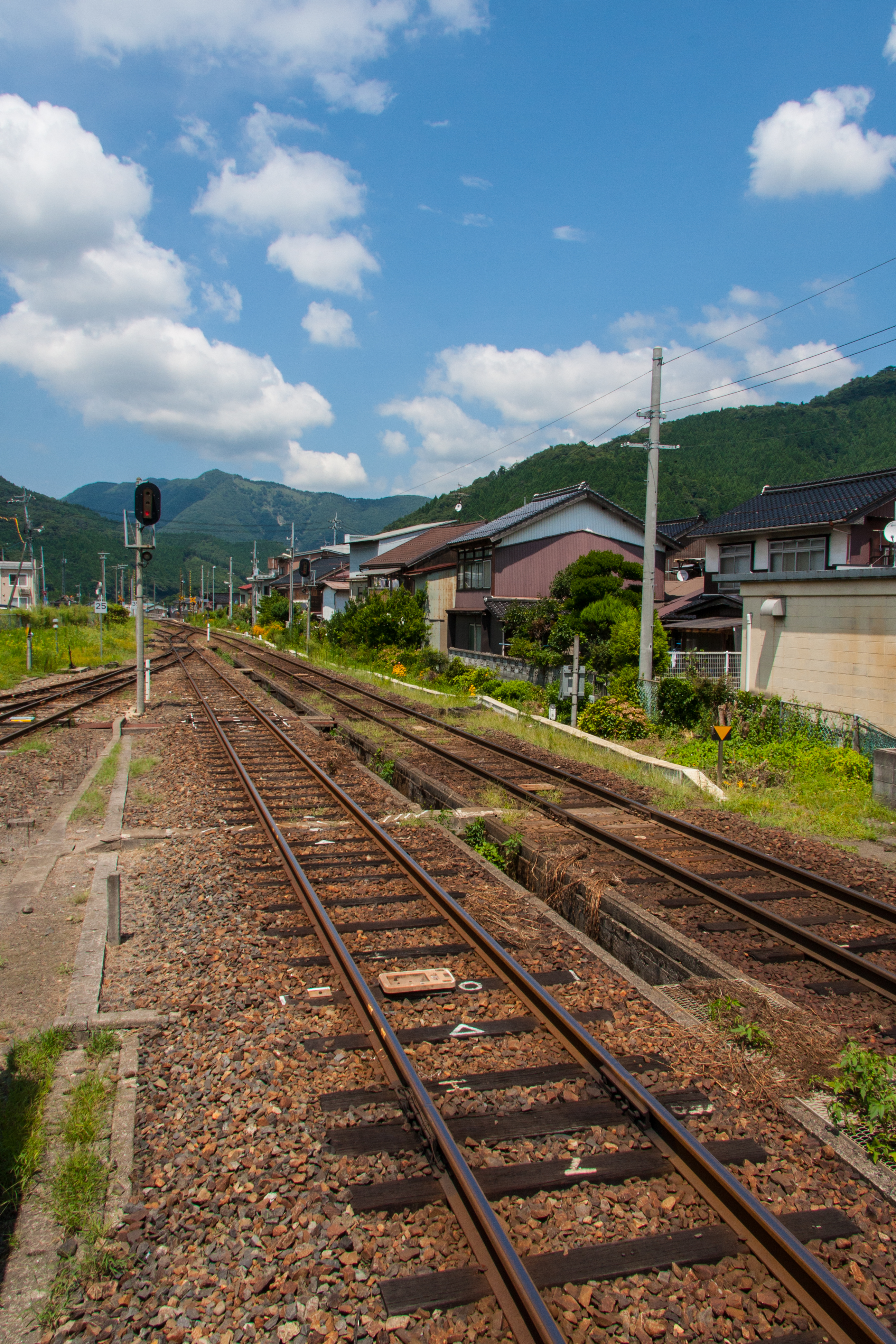
IMG_2183.JPG

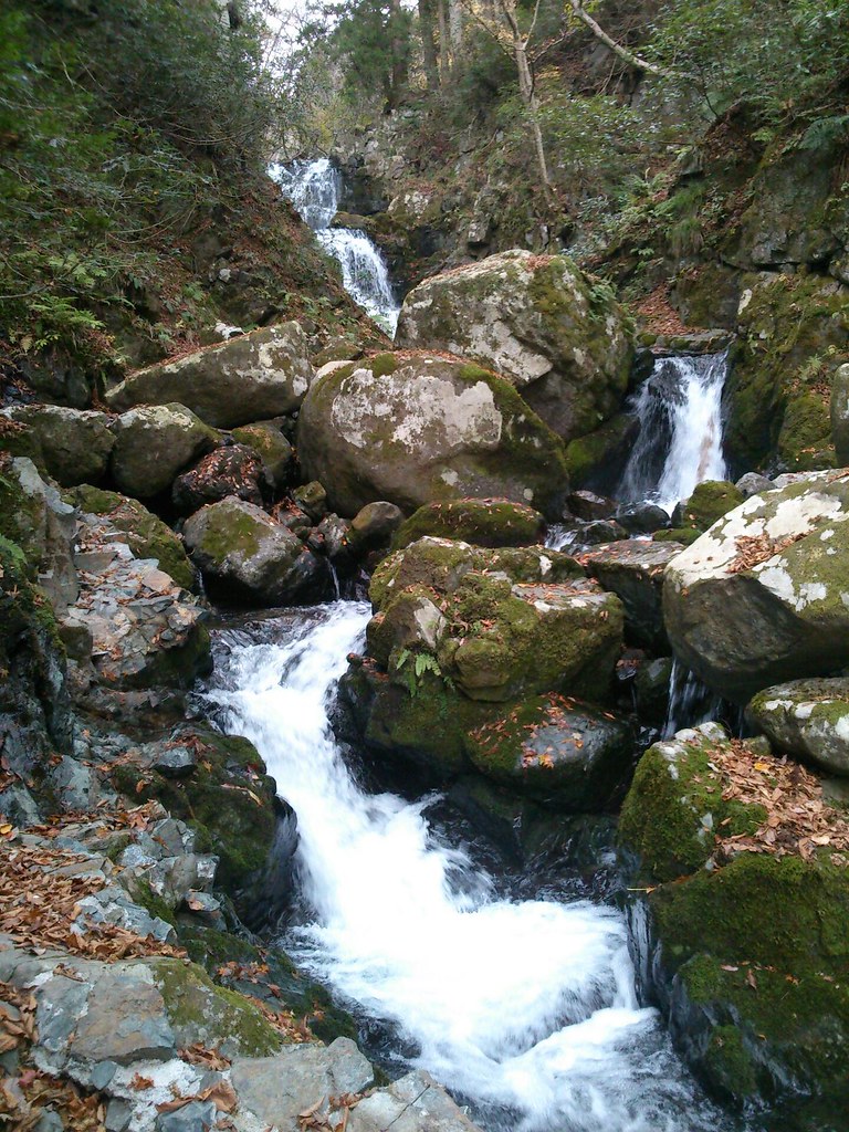
Cascade splashes#02

Cascade splashes#01

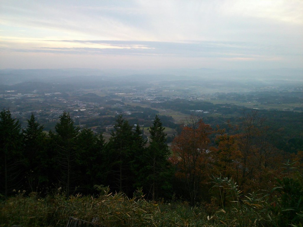
Mist in the valley from Nishi Harima Observatory

Mist in the valley from Nishi Harima Observatory

Mist in the valley from Nishi Harima Observatory
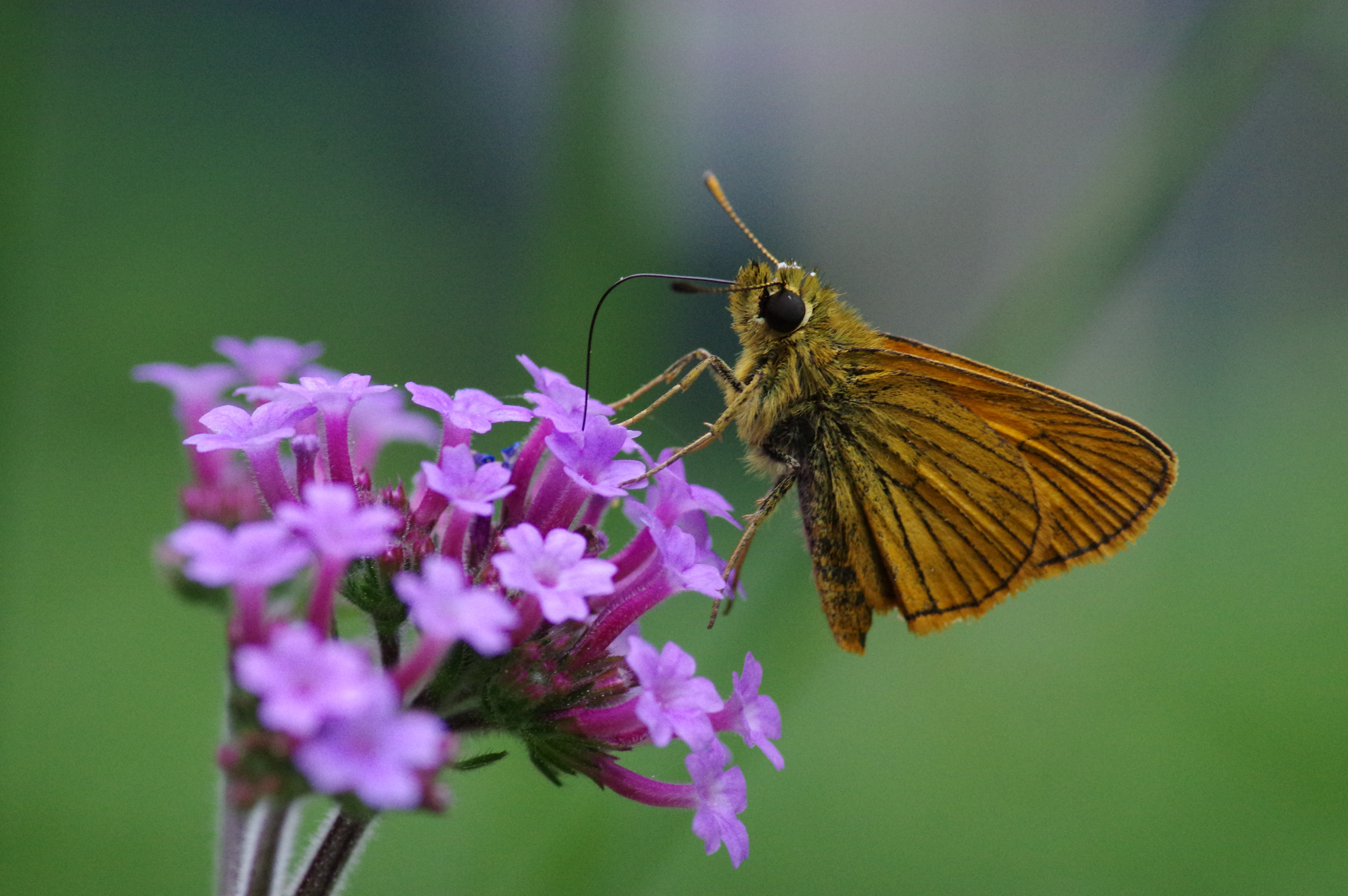
Ochlodes ochraceus

Mist in the valley from Nishi Harima Observatory

Mist in the valley from Nishi Harima Observatory
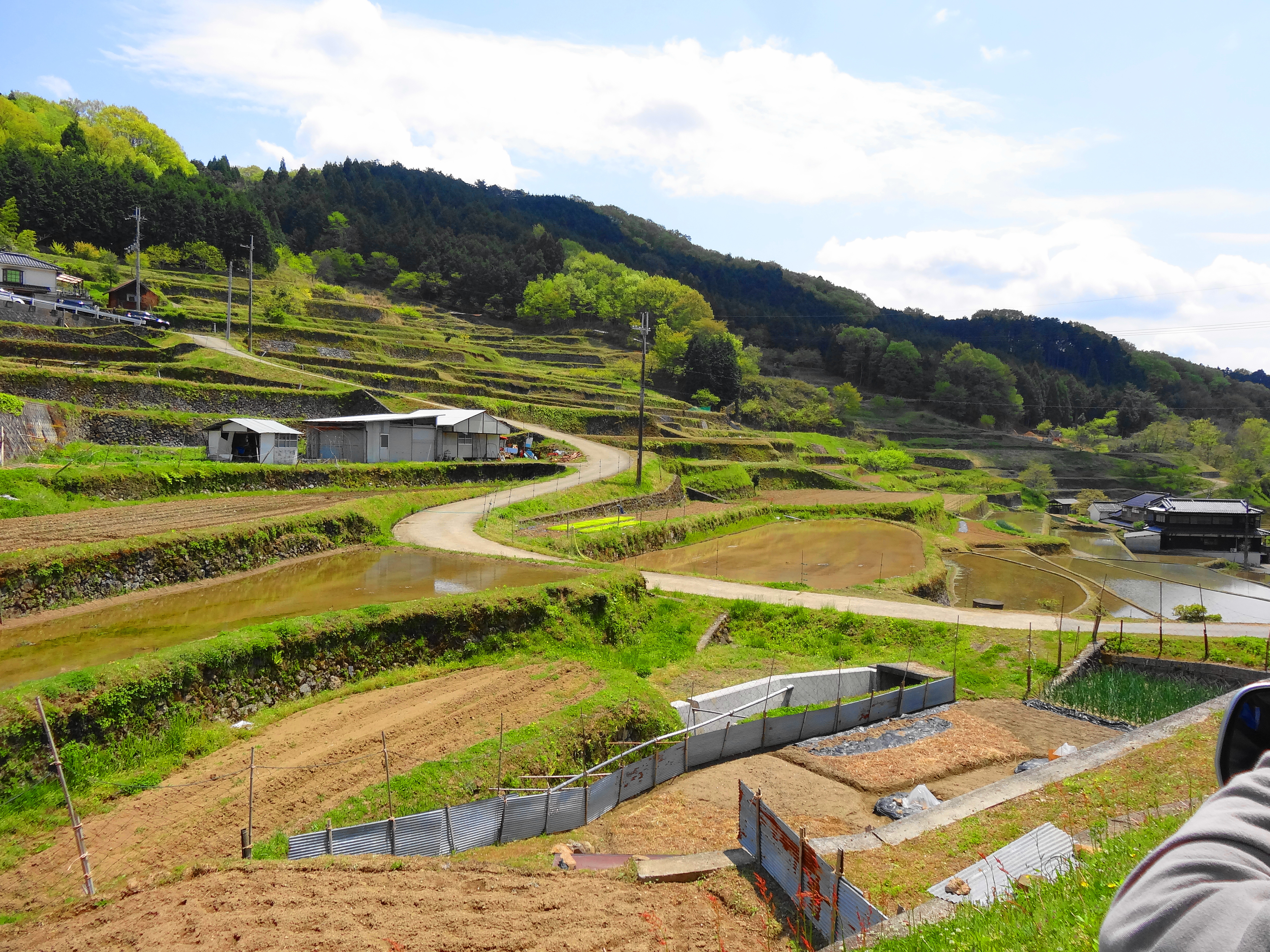
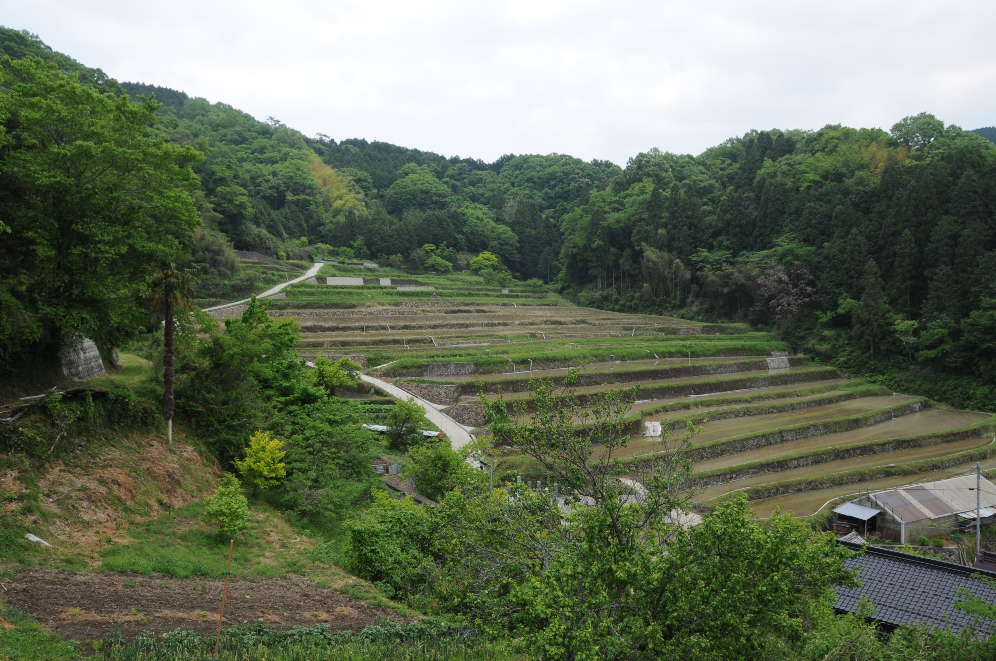
棚田
20120817-InbiLine-10

Mist in the valley from Nishi Harima Observatory
桜山 幕山側斜面 棚田 DSC_2496

quality of life
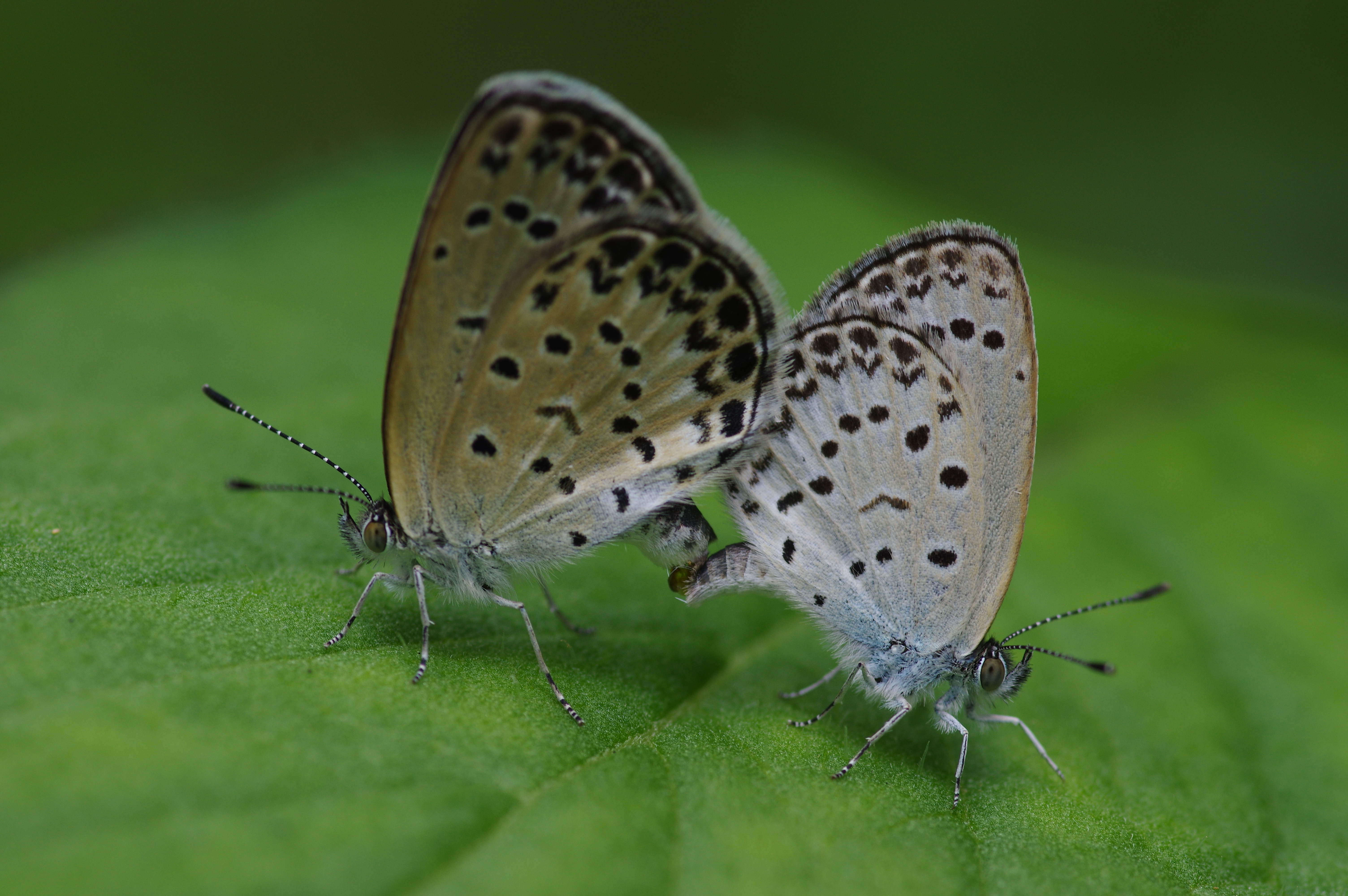
Pseudozizeeria maha

Mist in the valley from Nishi Harima Observatory
奈義町、山登りしてます
Topographic Map of Aida District, Okayama Prefecture, Japan
Find elevation by address:

Places in Aida District, Okayama Prefecture, Japan:
Places near Aida District, Okayama Prefecture, Japan:
Nishiawakura
Chisha, Nishiawakura-son, Aida-gun, Okayama-ken -, Japan
Kageishi, Nishiawakura-son, Aida-gun, Okayama-ken -, Japan
75 Komagaeri, Chizu-chō, Yazu-gun, Tottori-ken -, Japan
44 Fukuwara, Chizu-chō, Yazu-gun, Tottori-ken -, Japan
Nishidani, Chizu-chō, Yazu-gun, Tottori-ken -, Japan
61 Omi, Chizu-chō, Yazu-gun, Tottori-ken -, Japan
Ōchi, Chizu-chō, Yazu-gun, Tottori-ken -, Japan
Ōya, Chizu-chō, Yazu-gun, Tottori-ken -, Japan
17 Gōbara, Chizu-chō, Yazu-gun, Tottori-ken -, Japan
Ōro, Chizu-chō, Yazu-gun, Tottori-ken -, Japan
Shinozaka, Chizu-chō, Yazu-gun, Tottori-ken -, Japan
Honomi, Chizu-chō, Yazu-gun, Tottori-ken -, Japan
Miyoshi, Chizu-chō, Yazu-gun, Tottori-ken -, Japan
Ashizu, Chizu-chō, Yazu-gun, Tottori-ken -, Japan
17 Nobara, Chizu-chō, Yazu-gun, Tottori-ken -, Japan
72 Kinowara, Chizu-chō, Yazu-gun, Tottori-ken -, Japan
-38 Minamigata, Chizu-chō, Yazu-gun, Tottori-ken -, Japan
Mita, Chizu-chō, Yazu-gun, Tottori-ken -, Japan
Okumoto, Chizu-chō, Yazu-gun, Tottori-ken -, Japan
Recent Searches:
- Elevation of Verkhny Fiagdon, North Ossetia–Alania Republic, Russia
- Elevation of F. Viola Hiway, San Rafael, Bulacan, Philippines
- Elevation of Herbage Dr, Gulfport, MS, USA
- Elevation of Lilac Cir, Haldimand, ON N3W 2G9, Canada
- Elevation of Harrod Branch Road, Harrod Branch Rd, Kentucky, USA
- Elevation of Wyndham Grand Barbados Sam Lords Castle All Inclusive Resort, End of Belair Road, Long Bay, Bridgetown Barbados
- Elevation of Iga Trl, Maggie Valley, NC, USA
- Elevation of N Co Rd 31D, Loveland, CO, USA
- Elevation of Lindever Ln, Palmetto, FL, USA
- Elevation of Gillot Blvd, Port Charlotte, FL, USA