Elevation map of Agusan del Sur, Philippines
Location: Philippines > Caraga >
Longitude: 125.916739
Latitude: 8.6051665
Elevation: 46m / 151feet
Barometric Pressure: 101KPa
Elevation Map:
Satellite Map:
Related Photos:
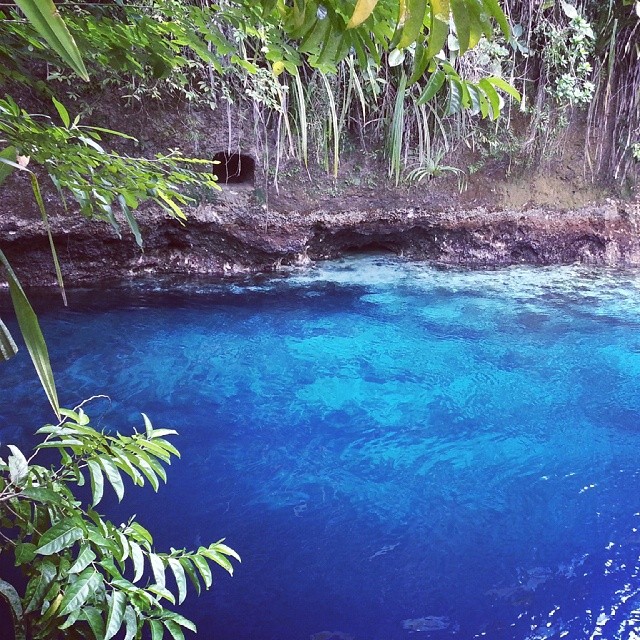
Be enchanted! :)
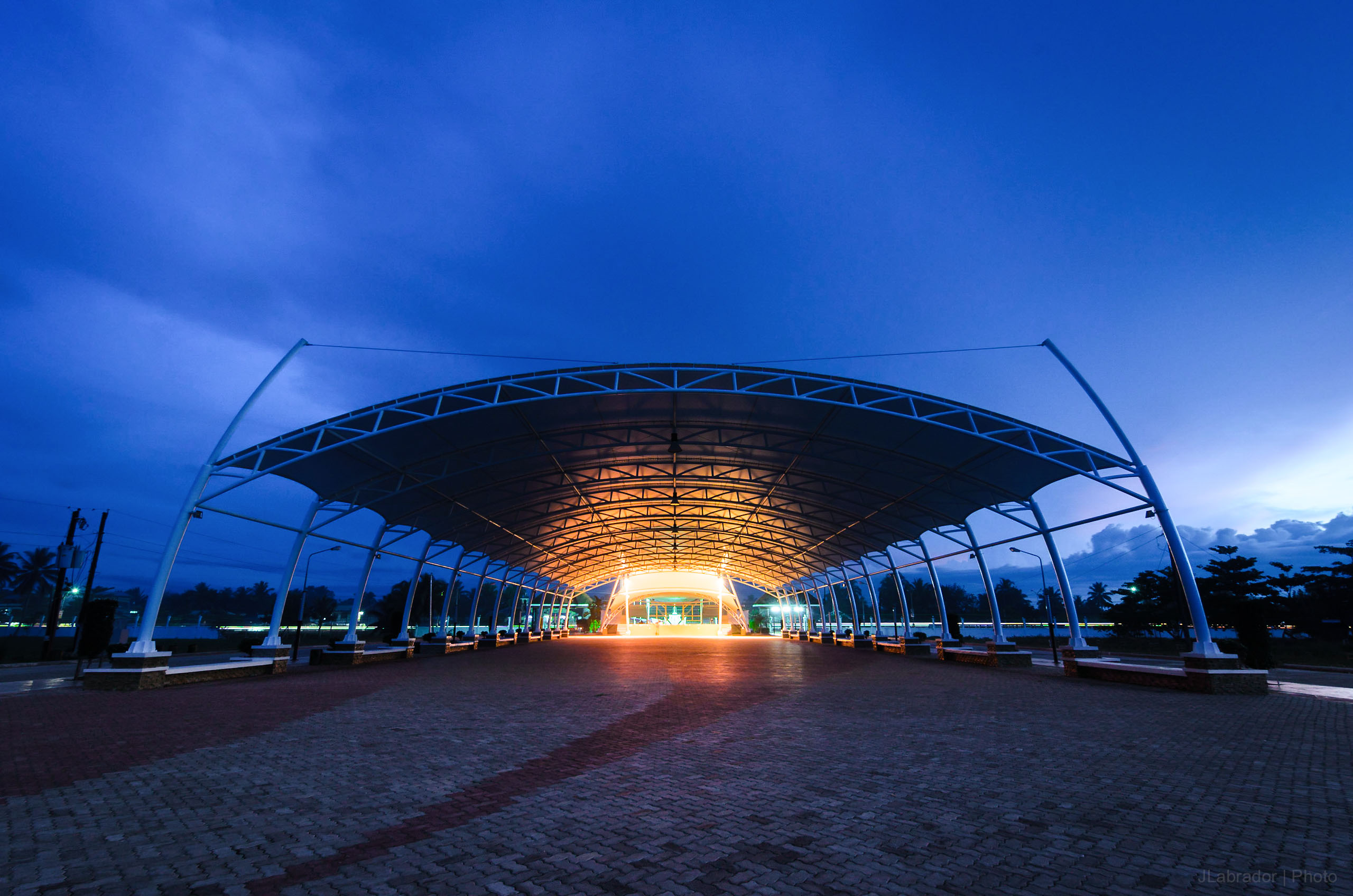
Naliyagan Blue Hour
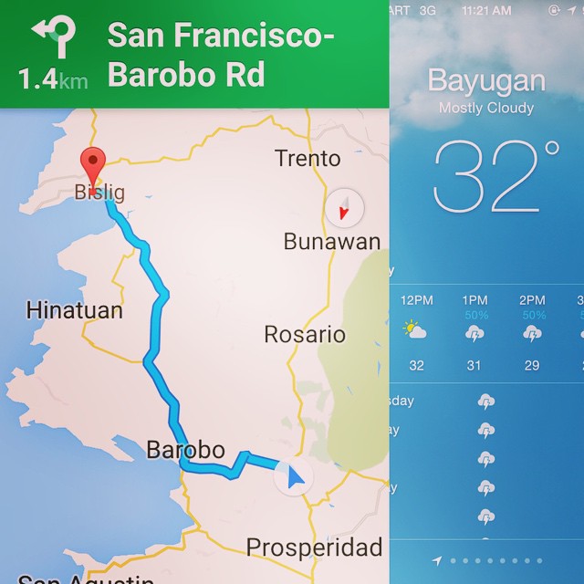
Are we there yet?! #Bislig #Butuan

Bachelor Tours 402 Davao - Tandag 20121126_094942
Topographic Map of Agusan del Sur, Philippines
Find elevation by address:

Places in Agusan del Sur, Philippines:
Places near Agusan del Sur, Philippines:
San Francisco
Pan-philippine Highway
Bayugan City
Bayugan City
Prince Hypermart Bayugan
Surigao Del Sur
Calaitan -surigao Road
Kibalabag Elementary School
Caraga
Sibagat
Tago
Taligaman
Mahay
Ampayon
Caraga State University
Cagwait
Butuan City
Agusan Del Norte
Remedios T. Romualdez
Asian College Foundation
Recent Searches:
- Elevation of Corso Fratelli Cairoli, 35, Macerata MC, Italy
- Elevation of Tallevast Rd, Sarasota, FL, USA
- Elevation of 4th St E, Sonoma, CA, USA
- Elevation of Black Hollow Rd, Pennsdale, PA, USA
- Elevation of Oakland Ave, Williamsport, PA, USA
- Elevation of Pedrógão Grande, Portugal
- Elevation of Klee Dr, Martinsburg, WV, USA
- Elevation of Via Roma, Pieranica CR, Italy
- Elevation of Tavkvetili Mountain, Georgia
- Elevation of Hartfords Bluff Cir, Mt Pleasant, SC, USA