Elevation of Agua Fria Mountain, New Mexico, USA
Location: United States > New Mexico > Quemado >
Longitude: -108.55839
Latitude: 34.1325506
Elevation: 2613m / 8573feet
Barometric Pressure: 74KPa
Elevation Map:
Satellite Map:
Related Photos:
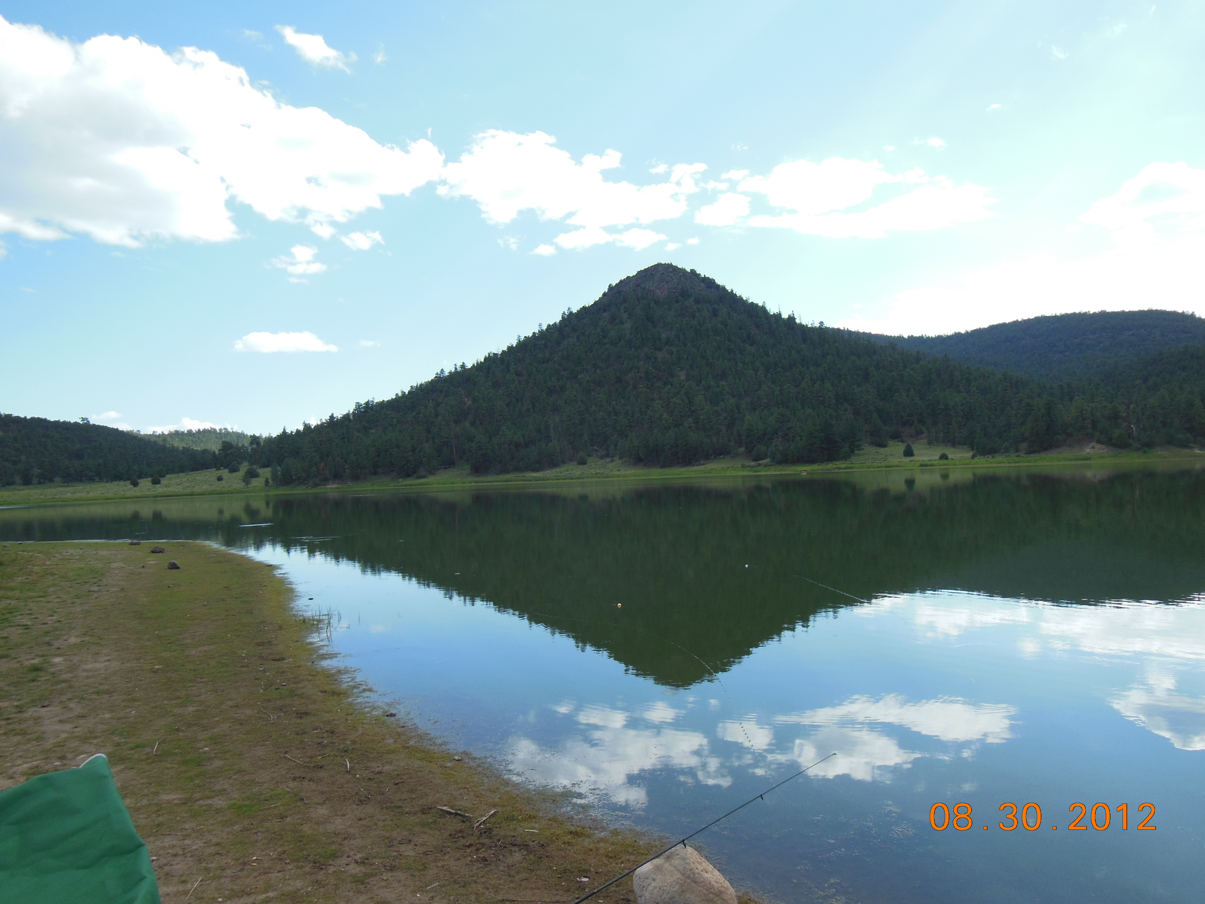
Reflections (Quemado Lake)
We are not in California anymore Toto

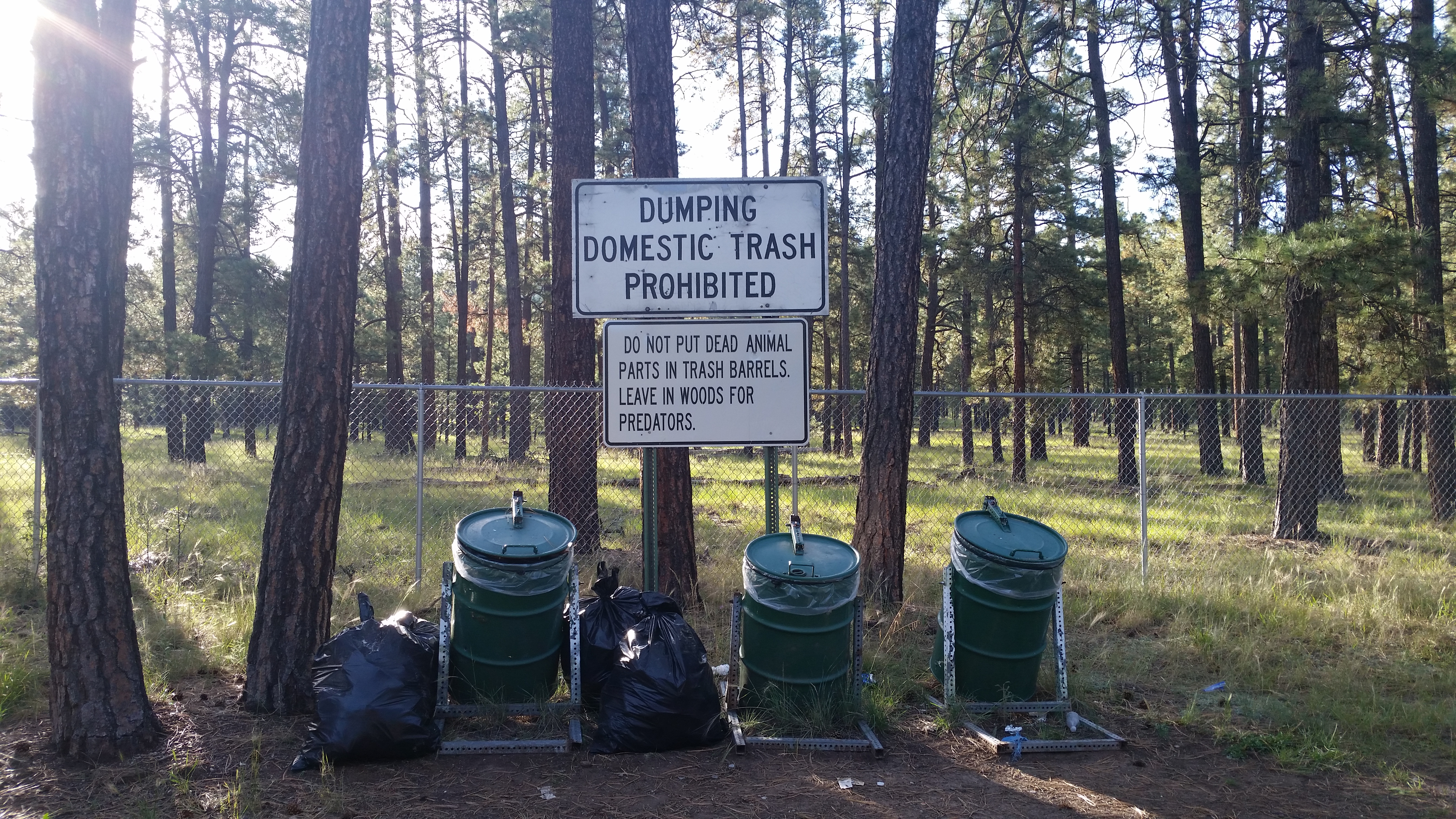
Some Advice Found in Apache National Forest
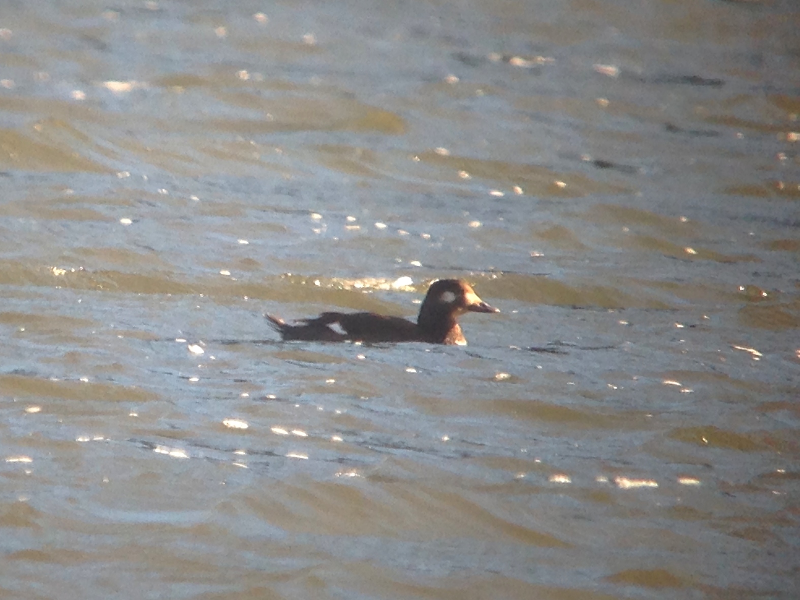
White-winged Scoter
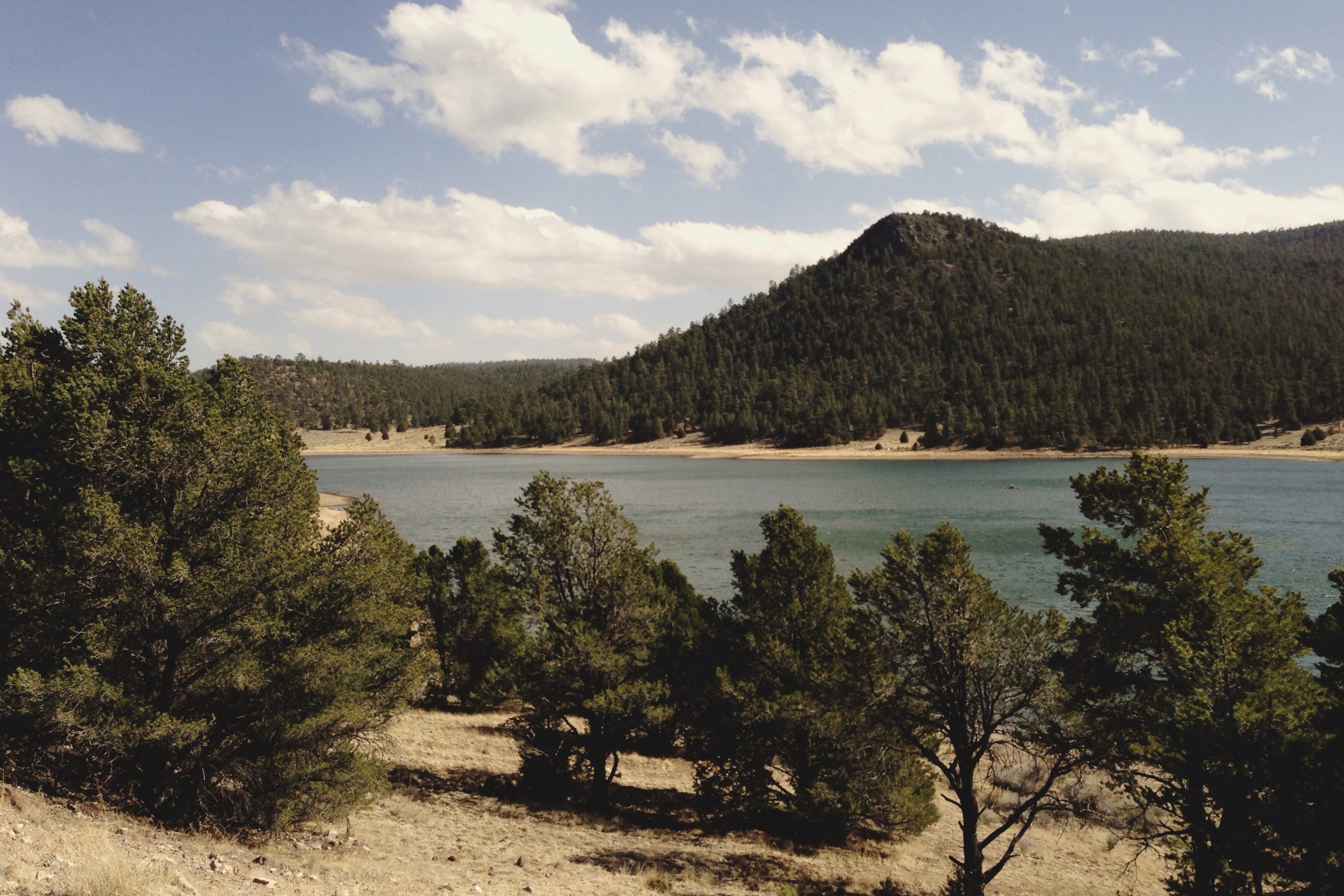
Quemado Lake, New Mexico
Topographic Map of Agua Fria Mountain, New Mexico, USA
Find elevation by address:

Places near Agua Fria Mountain, New Mexico, USA:
New Mexico Professional Big Game Hunting, Inc
Chapel
Caso Peak El
Escondido Mountain
Jewett Gap Campground
Gallo Peak
Catron County
Spring Canyon Road
Fox Mountain
Apache Mountain
Hardcastle
Quemado
Tularosa Mountain
Aragon
Mangas Mountain
Wagontongue Mountain
Big Chief Road
Starfire Drive
Apache Creek
New Mexico 601
Recent Searches:
- Elevation of Corso Fratelli Cairoli, 35, Macerata MC, Italy
- Elevation of Tallevast Rd, Sarasota, FL, USA
- Elevation of 4th St E, Sonoma, CA, USA
- Elevation of Black Hollow Rd, Pennsdale, PA, USA
- Elevation of Oakland Ave, Williamsport, PA, USA
- Elevation of Pedrógão Grande, Portugal
- Elevation of Klee Dr, Martinsburg, WV, USA
- Elevation of Via Roma, Pieranica CR, Italy
- Elevation of Tavkvetili Mountain, Georgia
- Elevation of Hartfords Bluff Cir, Mt Pleasant, SC, USA