Elevation of Agoudim, Morocco
Location: Morocco > Drâa-tafilalet > Khenifra Province >
Longitude: -5.1800318
Latitude: 32.3819753
Elevation: 2014m / 6608feet
Barometric Pressure: 79KPa
Elevation Map:
Satellite Map:
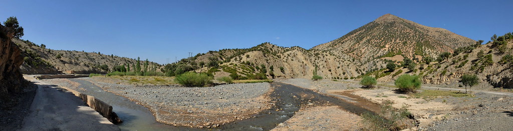
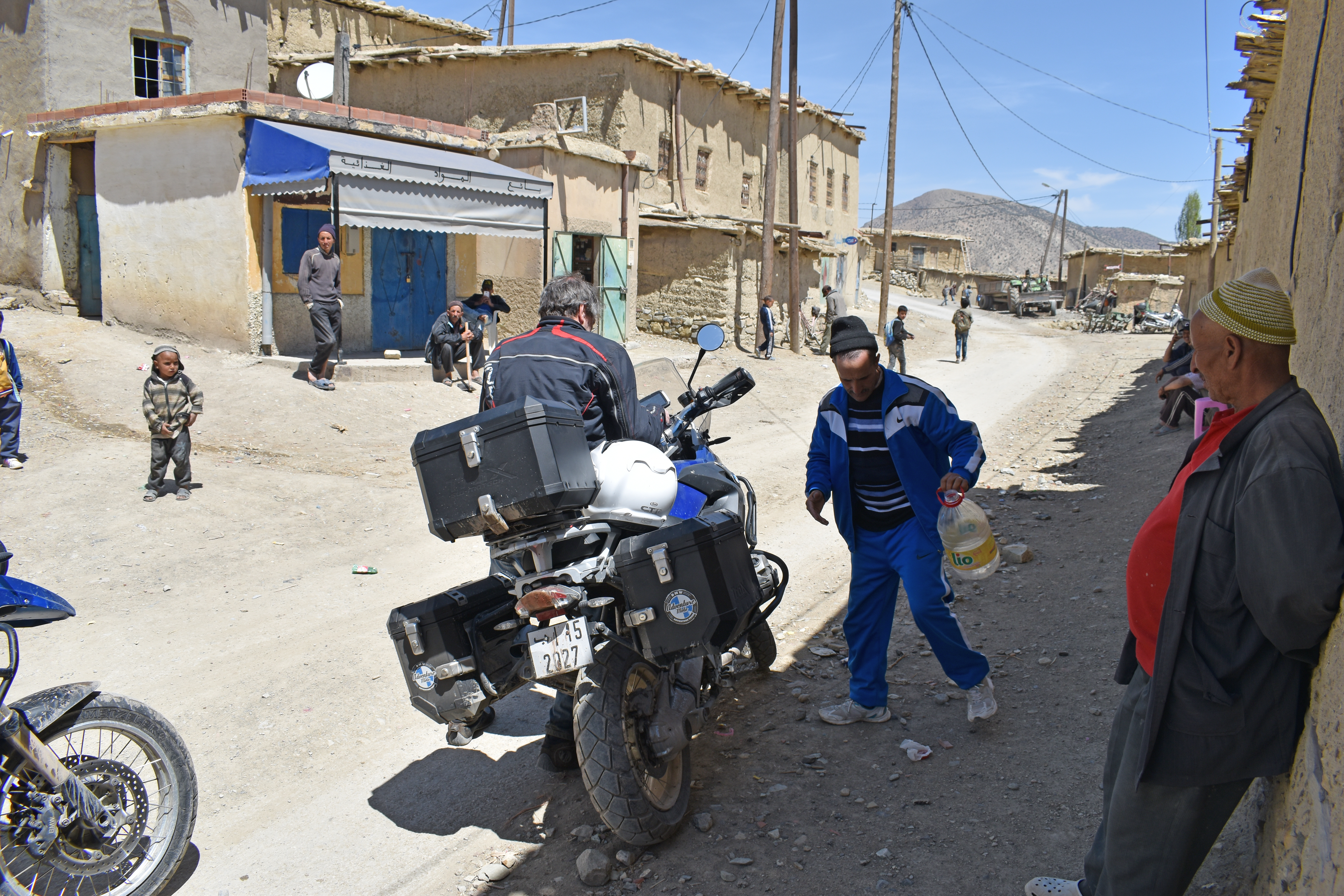
Related Photos:

Anochecer sobre el Atlas

Anochecer sobre el Atlas
Ait Daoud, Meknes-Tafilalet, Morocco

Atardecer sobre el Atlas
2017_Marokko_motor_DSC_0313-1

2005-10-12 19-19-23 JT
Topographic Map of Agoudim, Morocco
Find elevation by address:

Places near Agoudim, Morocco:
Recent Searches:
- Elevation of 7 Waterfall Way, Tomball, TX, USA
- Elevation of SW 57th Ave, Portland, OR, USA
- Elevation of Crocker Dr, Vacaville, CA, USA
- Elevation of Pu Ngaol Community Meeting Hall, HWHM+3X7, Krong Saen Monourom, Cambodia
- Elevation of Royal Ontario Museum, Queens Park, Toronto, ON M5S 2C6, Canada
- Elevation of Groblershoop, South Africa
- Elevation of Power Generation Enterprises | Industrial Diesel Generators, Oak Ave, Canyon Country, CA, USA
- Elevation of Chesaw Rd, Oroville, WA, USA
- Elevation of N, Mt Pleasant, UT, USA
- Elevation of 6 Rue Jules Ferry, Beausoleil, France