Elevation of Afula, Israel
Location: Israel > North District > Yizrael >
Longitude: 35.287922
Latitude: 32.610493
Elevation: 64m / 210feet
Barometric Pressure: 101KPa
Elevation Map:
Satellite Map:
Related Photos:
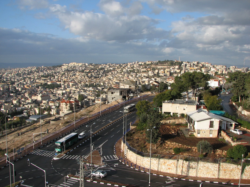
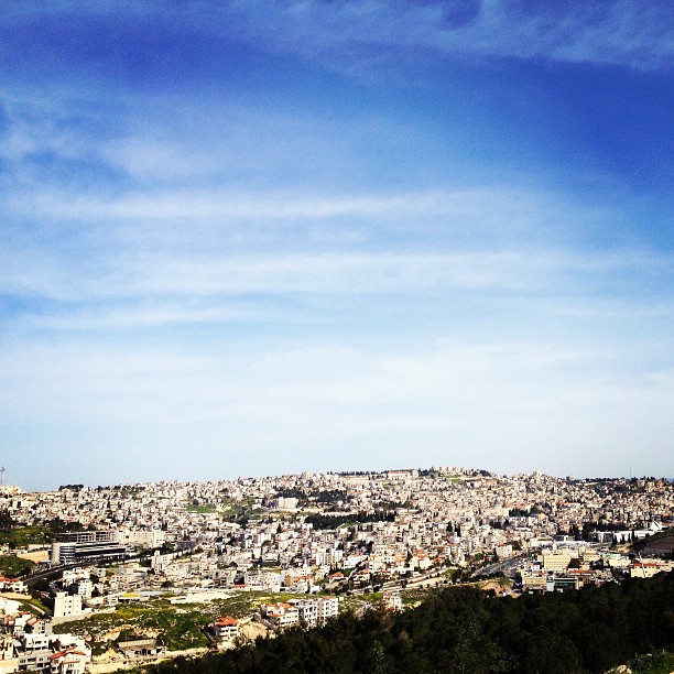
Nazareth - Old City View from Nazareth Illit
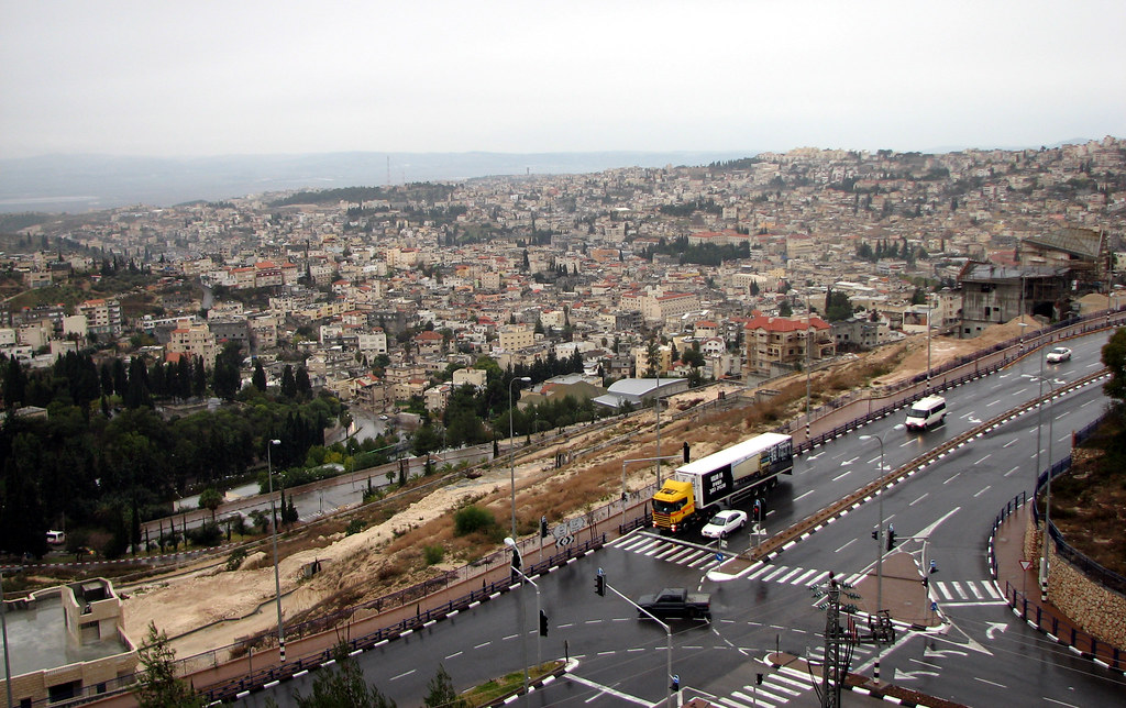
Nazareth - Old City View from Nazareth Illit
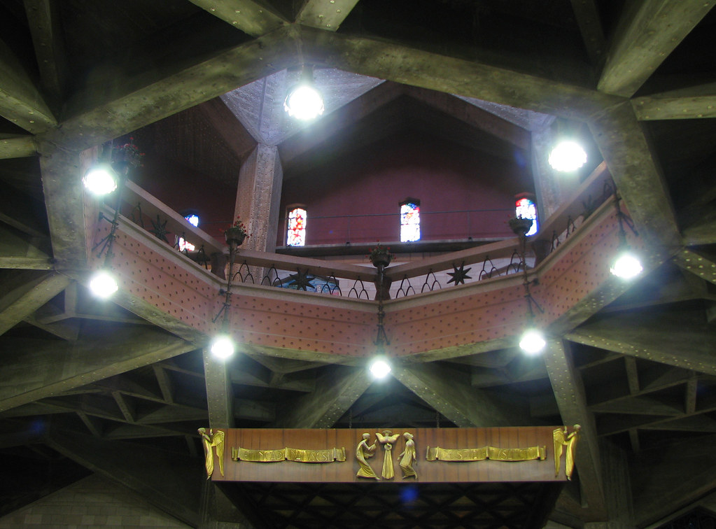
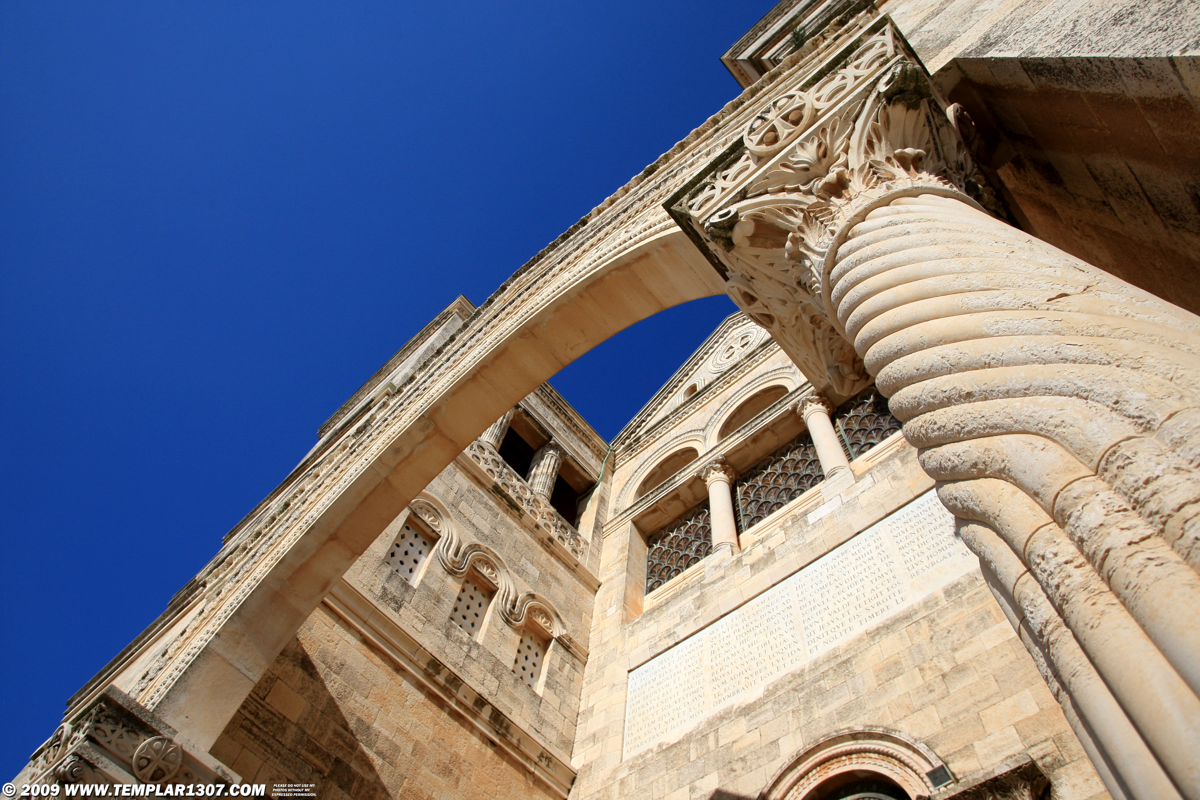
Nazareth - Church of the Annunciation - Upper Church View
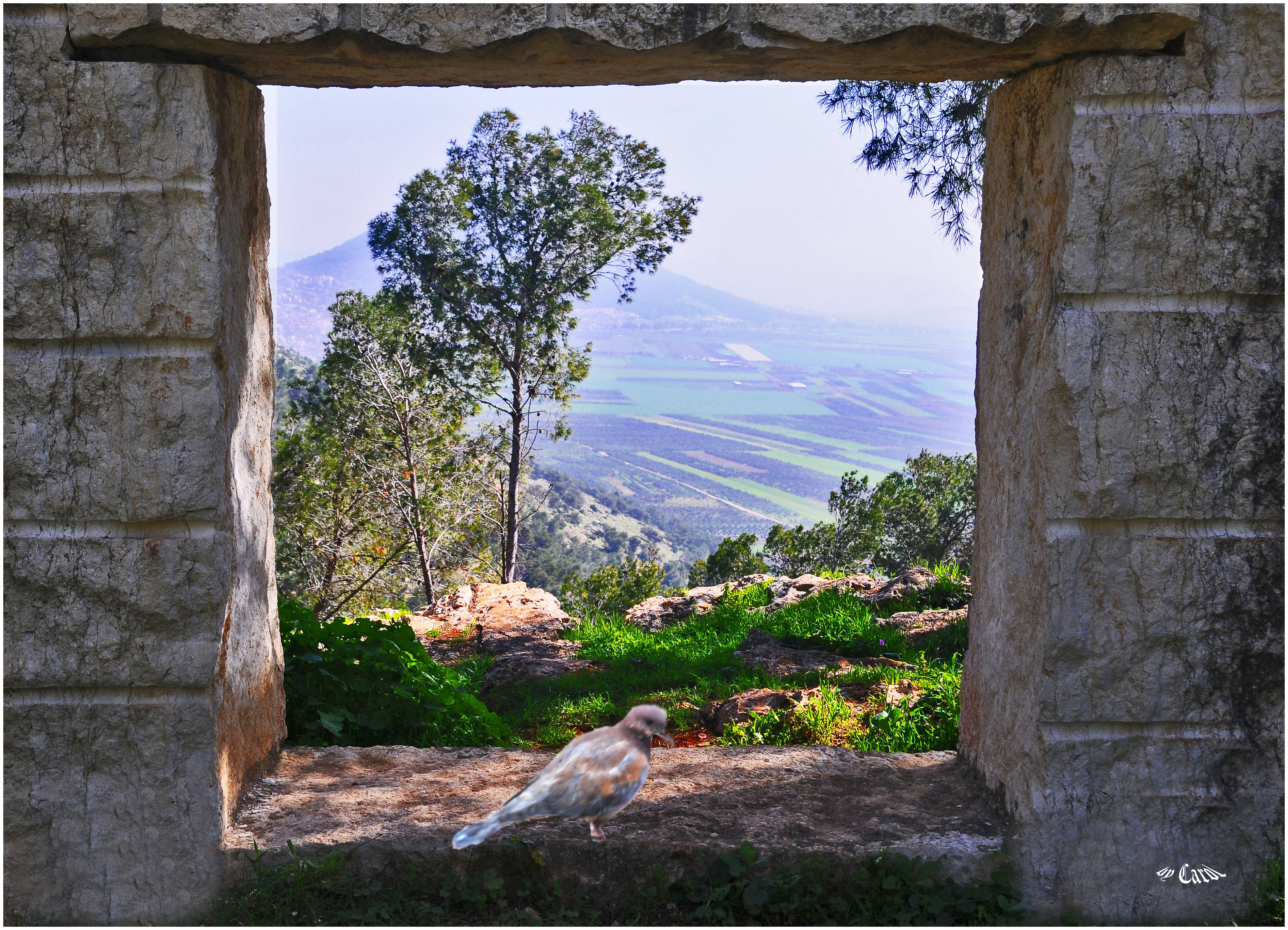
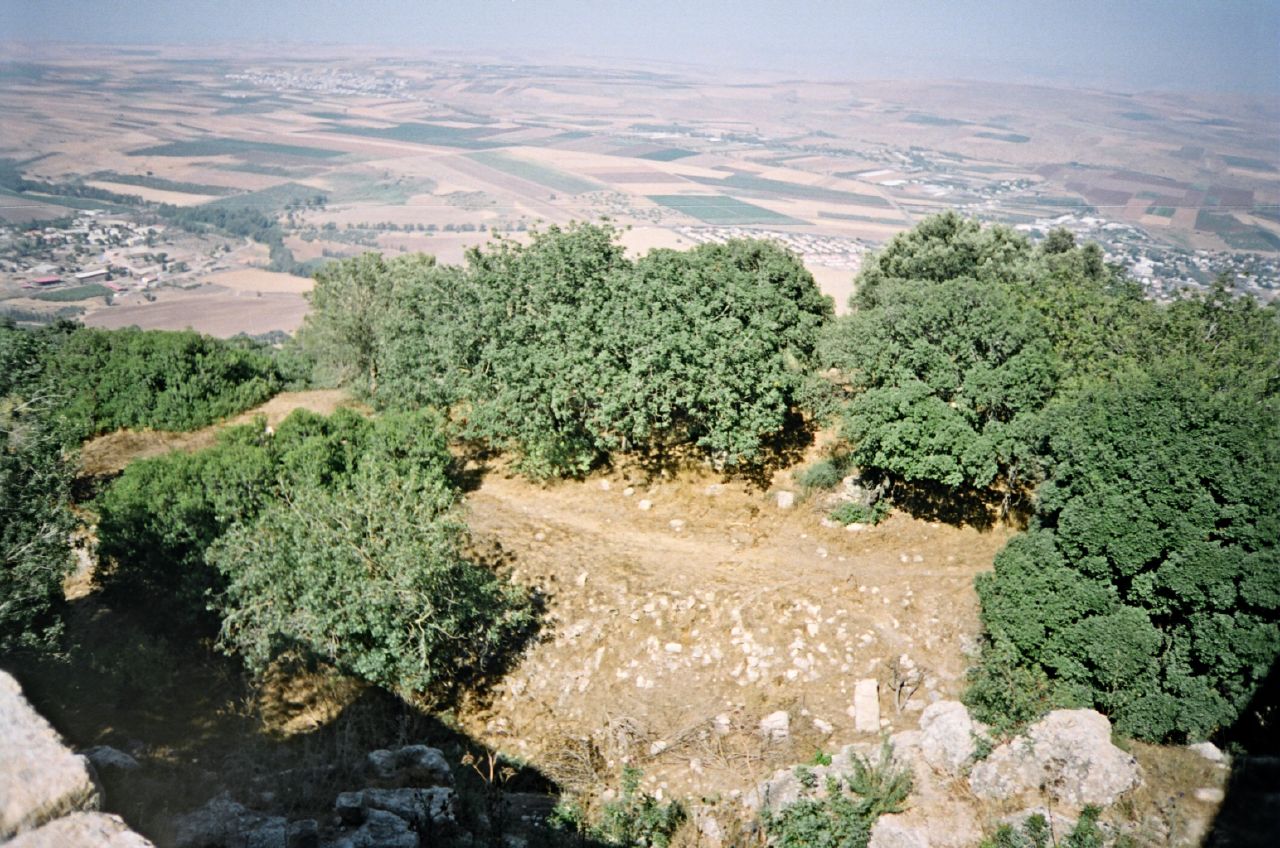
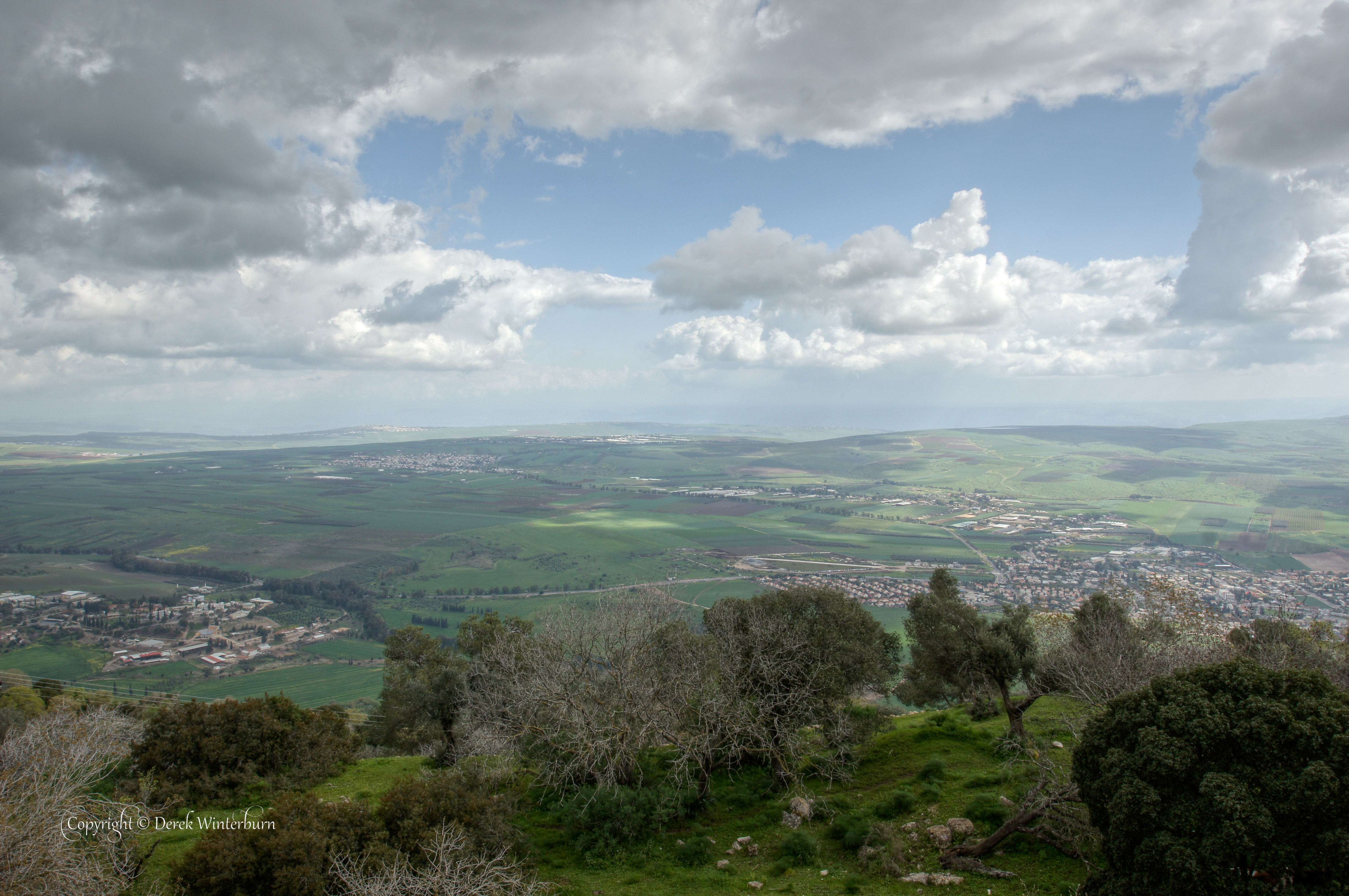
Looks to Mt. Tabour

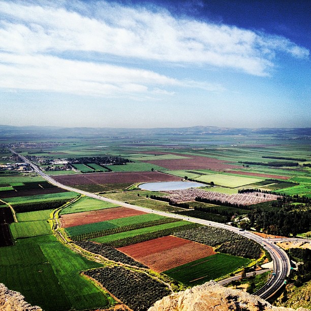
Kesulot Valley
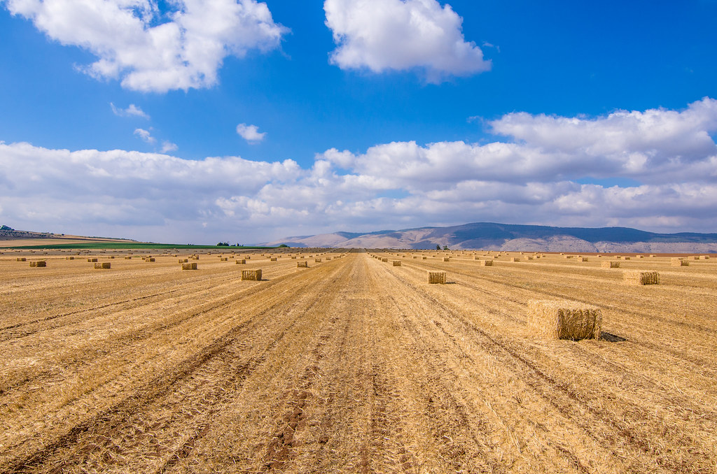
Rows of bales
IL09 2786 Mt-Tabor, Church of the Transfiguration הר תבור
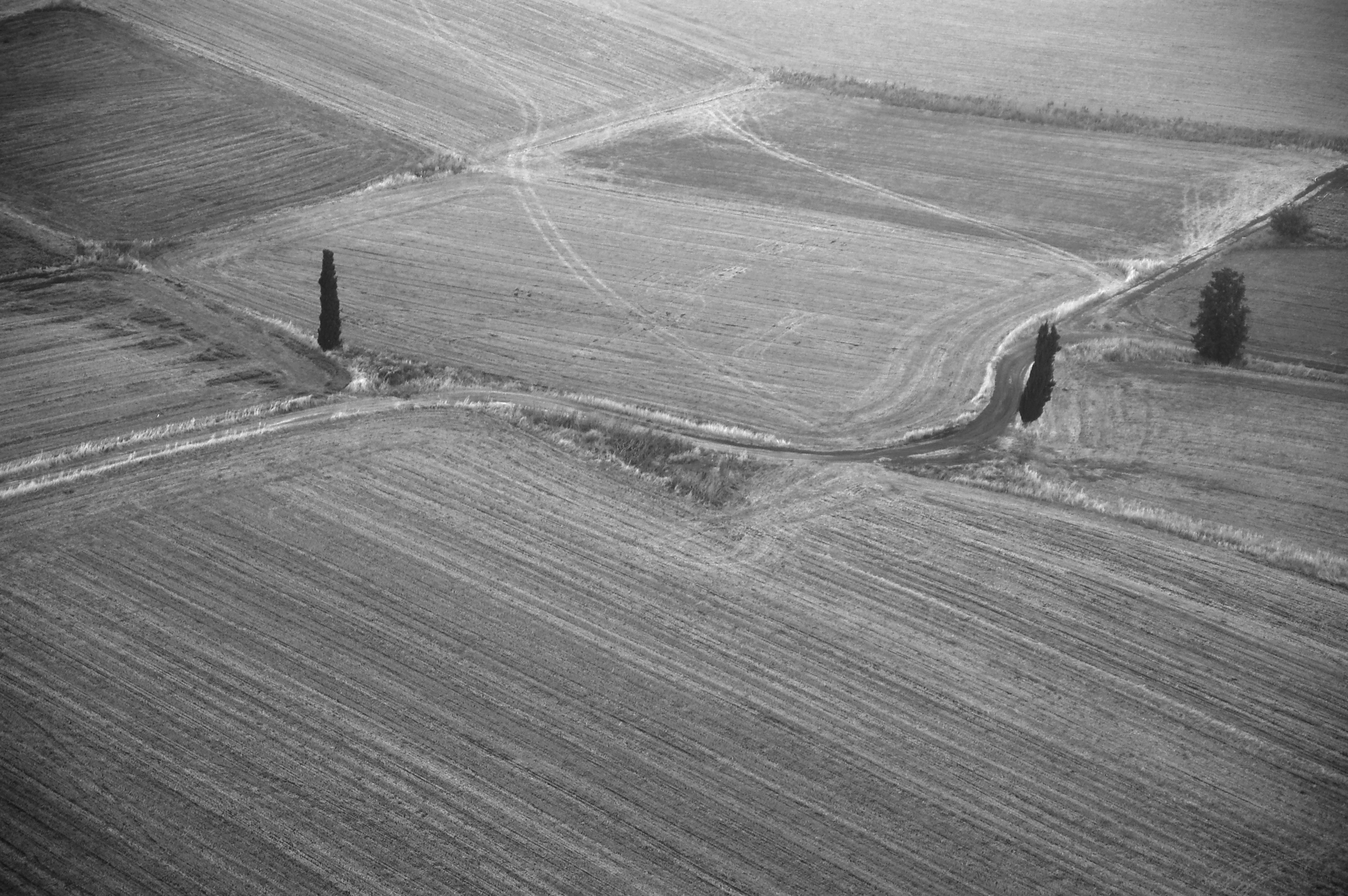
Landscape from above
Amazing view from the Mouth of Precipice on the edge of Nazareth. Megiddo can be seen in the far distance across the Jezreel valley.

1975.06-08a Kibbutz Gvat excavation 1975, early morning, Shmaryahu Gutman
Monte Tabor - Israel
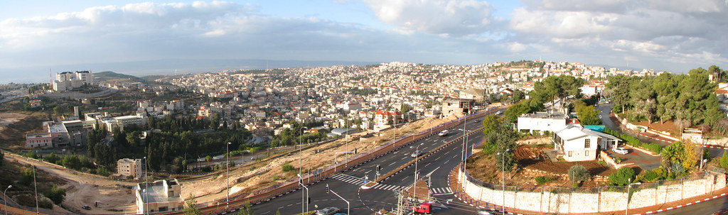
Nazareth - Old City Panoramic View
Joseph's Wood Shop
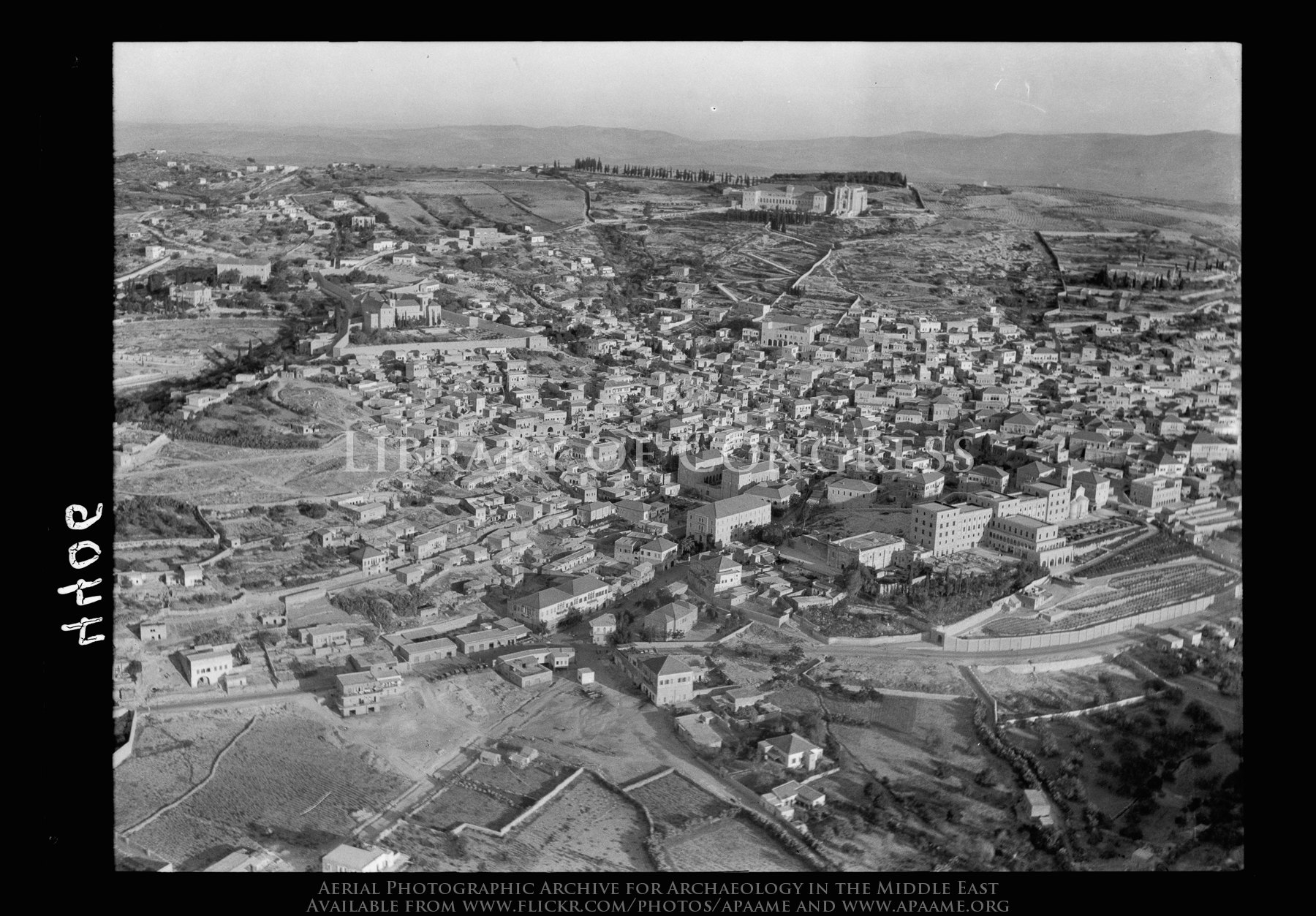
Nazareth. Approaching town from S.E. showing main road into town, convents, etc.
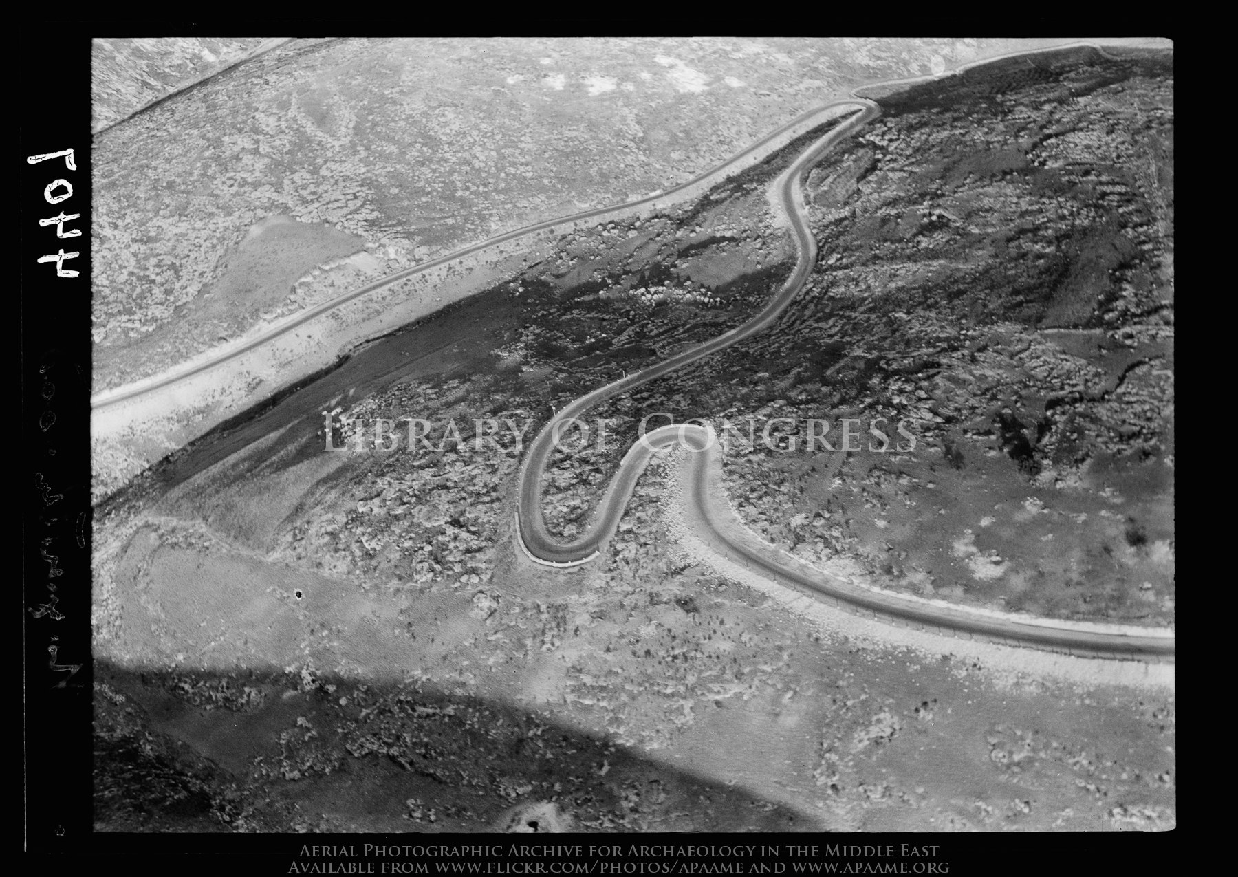
Hair-pin bends. Ascent to Nazareth, from Plain of Esdraelon

Har Megiddo

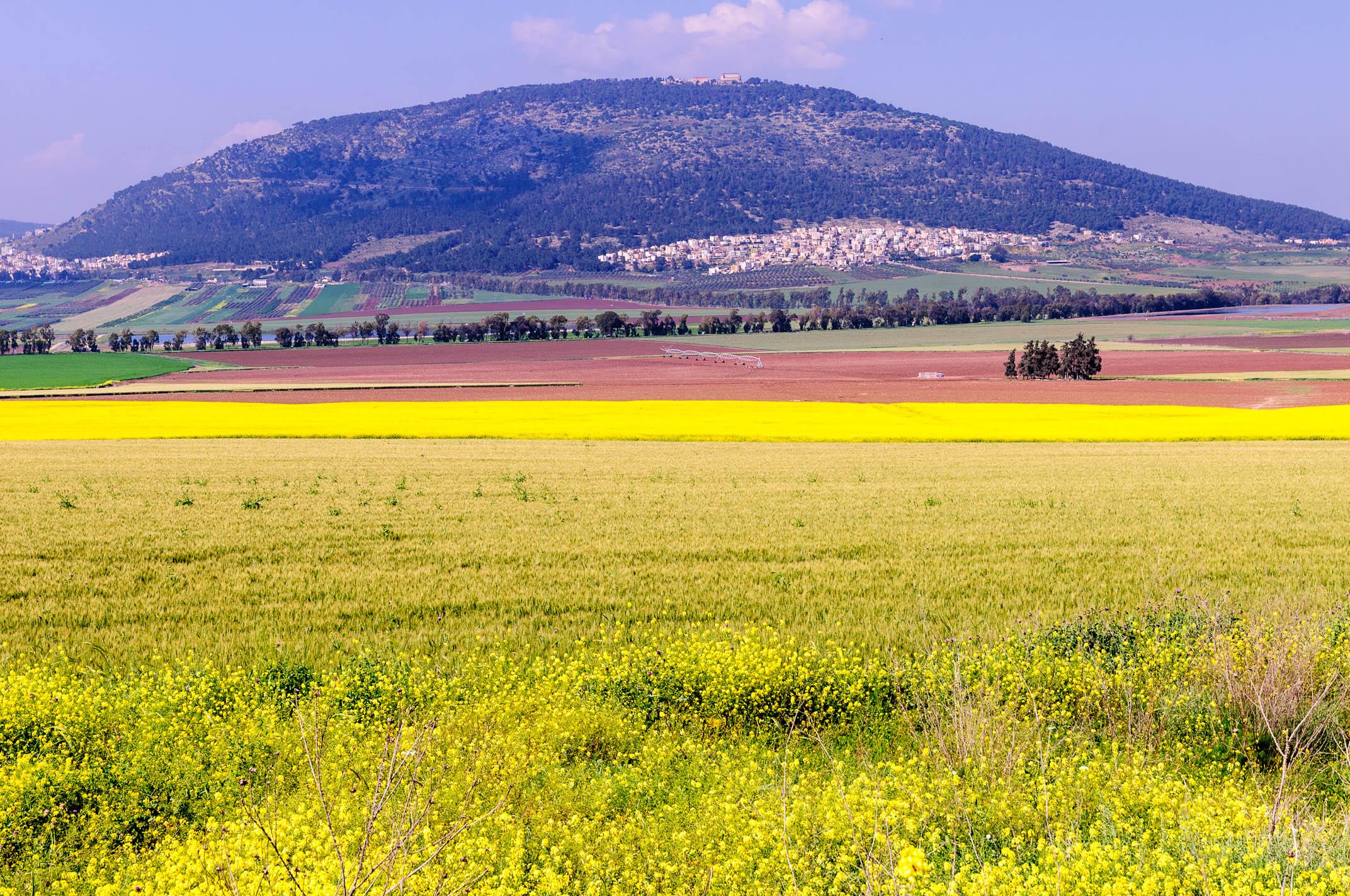
Mount Tabor
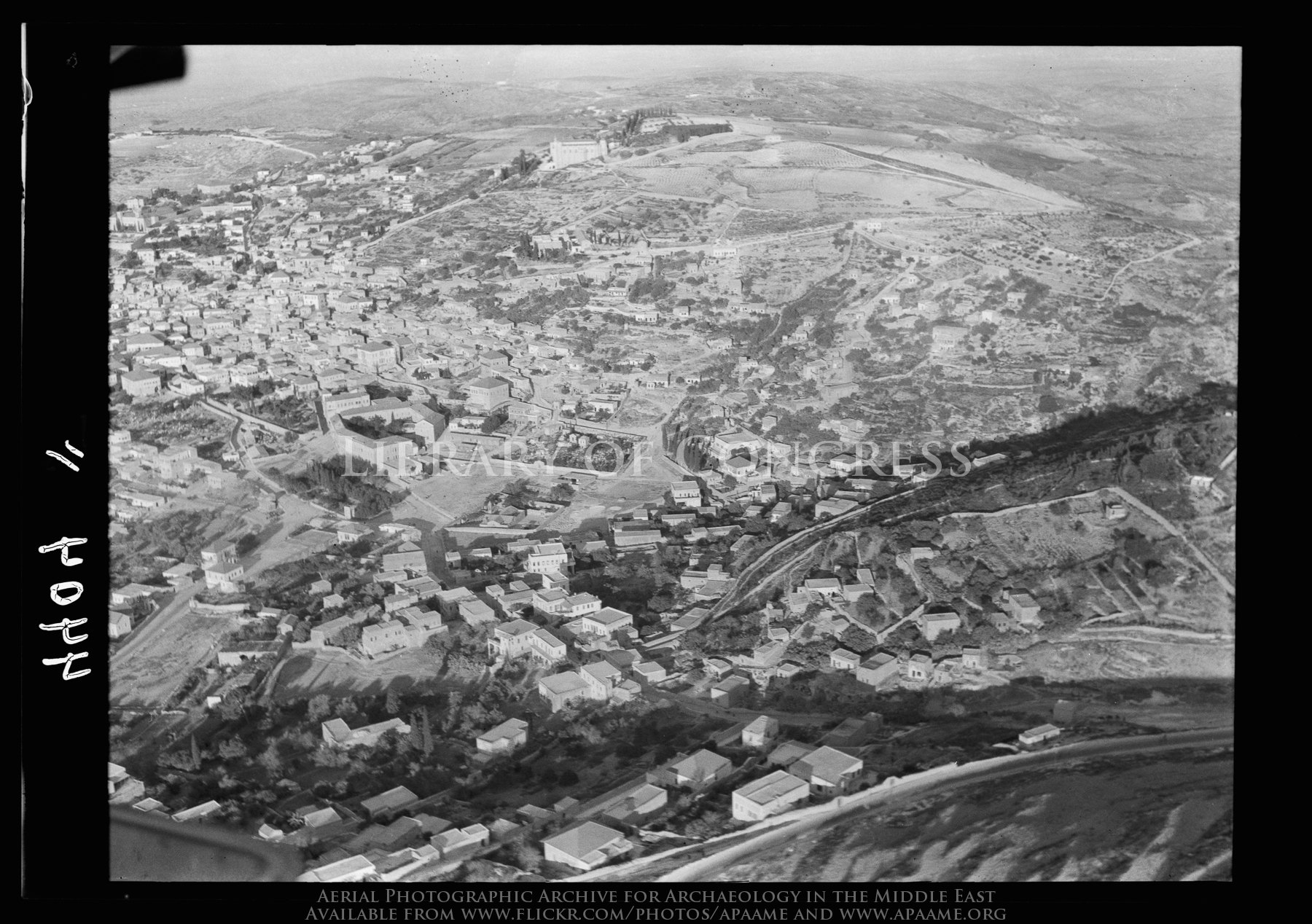
Nazareth. Approaching town from N.E. Virgin's fount in center of picture
Can anything good come from Nazareth? I'd say a great view comes from Nazareth!
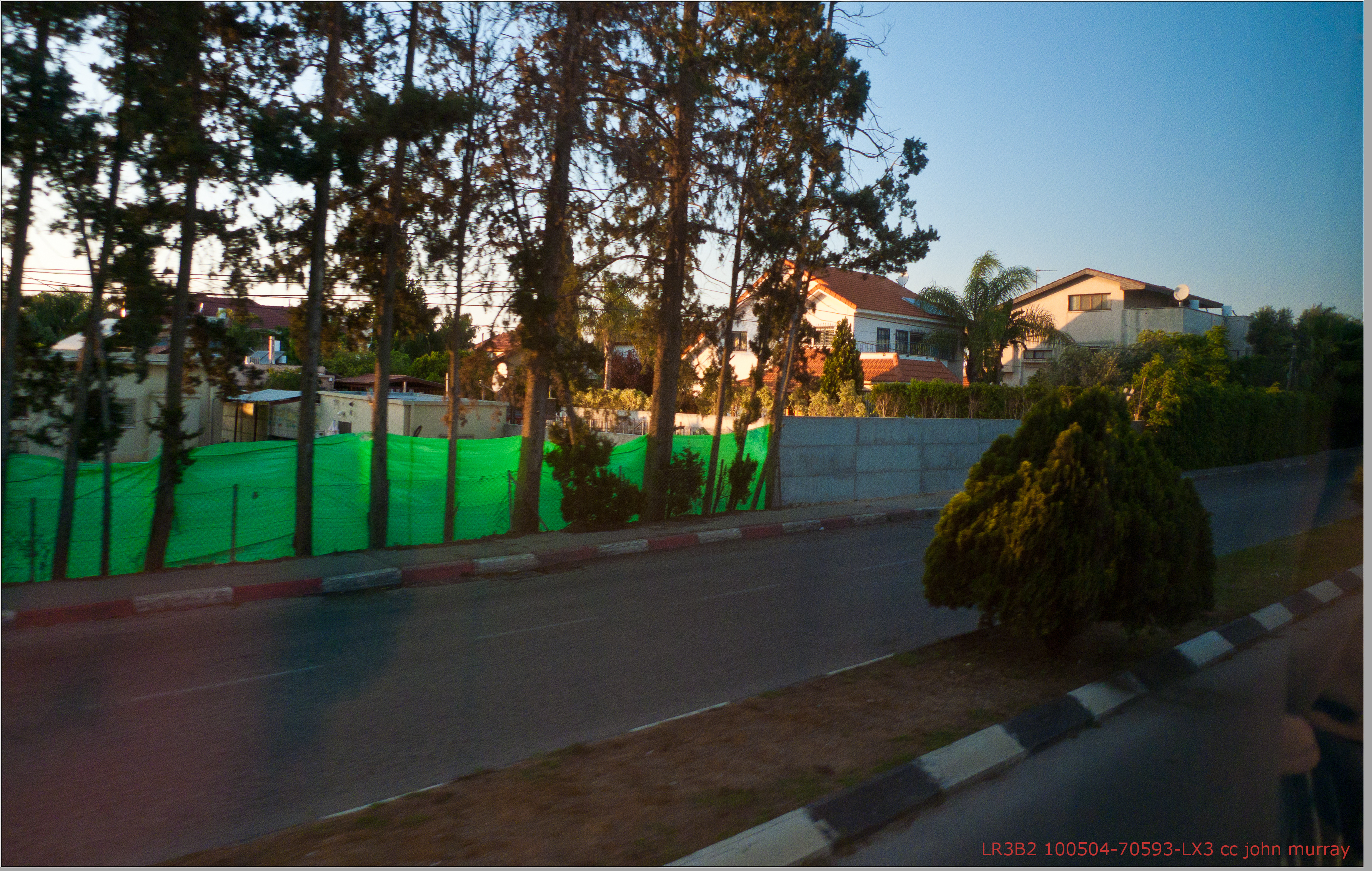
100504-70593-LX3
View North from Tabor

Minor settlement and horizon
Waiting for that Taxi
On and on I keep singing my song
I find it kinda funny
BL_TRL_Hashofet-0054-20120421.jpg

Blue-tailed Damselfly - Ischnura elegans ebneri (immature female) eating Chironomus
But you don't know what you've got 'til it's gone

Mosaic Scene

If These Stones Could Speak

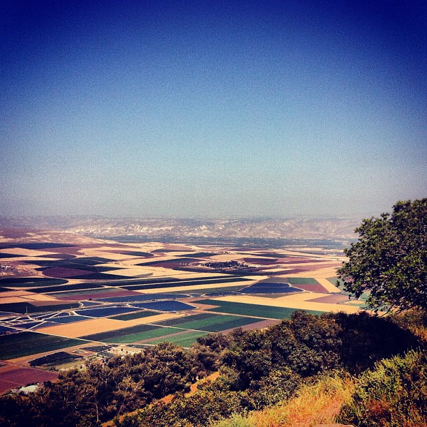
Jezreel Valley from Tel Megiddo

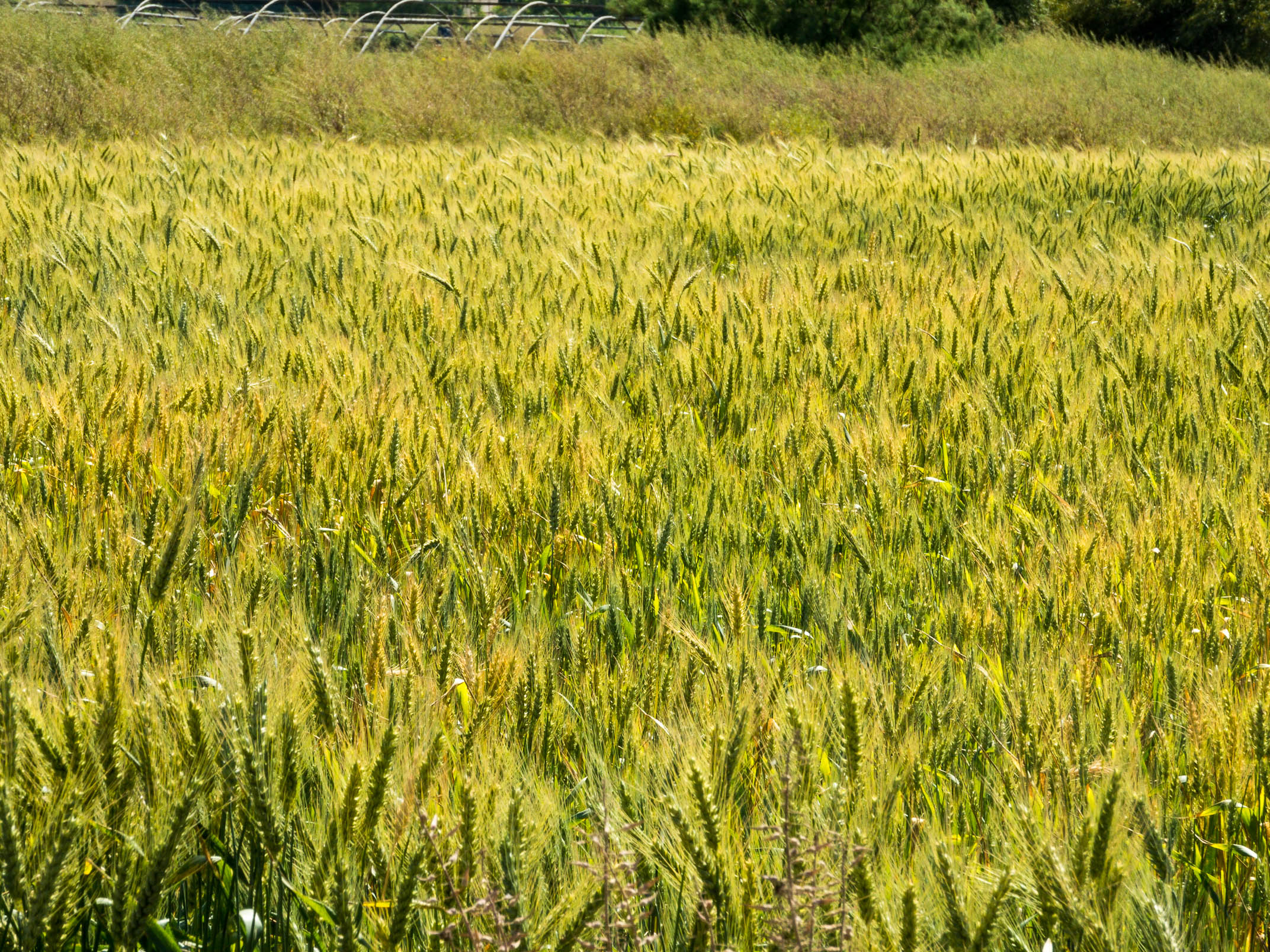
Fields in Galilee
Magnificant four
Mini-Hike to Solelim

Holy Land Trip 2/5 - 097
IL-0951-20120403.jpg
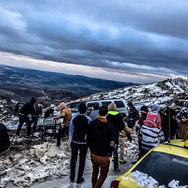
#الثلوج في السيلة الظهر و #Hummer #عالق #Snow in Silat ad-Dahr & #Hummer #Stuck Sat-Dec 14 ,2013 #Photography | @Saleh4One #Palestine #Jenin #Silat #فلسطين #جنين #سيلة #WHP #whpliquidlandscape #WHPgoldenhour #WHPHummer
The valley

שעת בין ערביים בשדה קצור מול הגלבוע - Dusk at a harvested field with Gilboa range at the distance
Topographic Map of Afula, Israel
Find elevation by address:

Places in Afula, Israel:
Places near Afula, Israel:
Afula
Ibn Gabirol St 39
Giv'at Hamore
Jezreel Valley
Yizrael
Ginegar
Nein
Industrial Zone Alon Tavor
Migdal Haemek
Nazareth
St. Mary's Inn
Basilica Of The Annunciation
Greek Orthodox Church Of The Annunciation
Jezreel Valley
Yasmin Street
Yasmin St 32
Nof Hagalil
Megiddo
Nazareth-tir'an Mountains
Ein Harod
Recent Searches:
- Elevation of Rojo Ct, Atascadero, CA, USA
- Elevation of Flagstaff Drive, Flagstaff Dr, North Carolina, USA
- Elevation of Avery Ln, Lakeland, FL, USA
- Elevation of Woolwine, VA, USA
- Elevation of Lumagwas Diversified Farmers Multi-Purpose Cooperative, Lumagwas, Adtuyon, RV32+MH7, Pangantucan, Bukidnon, Philippines
- Elevation of Homestead Ridge, New Braunfels, TX, USA
- Elevation of Orchard Road, Orchard Rd, Marlborough, NY, USA
- Elevation of 12 Hutchinson Woods Dr, Fletcher, NC, USA
- Elevation of Holloway Ave, San Francisco, CA, USA
- Elevation of Norfolk, NY, USA