Elevation of Aetna St, Ruthton, MN, USA
Location: United States > Minnesota > Pipestone County >
Longitude: -96.098129
Latitude: 44.1772801
Elevation: 526m / 1726feet
Barometric Pressure: 95KPa
Elevation Map:
Satellite Map:
Related Photos:

Rolling Through the Rolling Hills

2014-10-25T21_16_15

2014-10-25T21_19_12

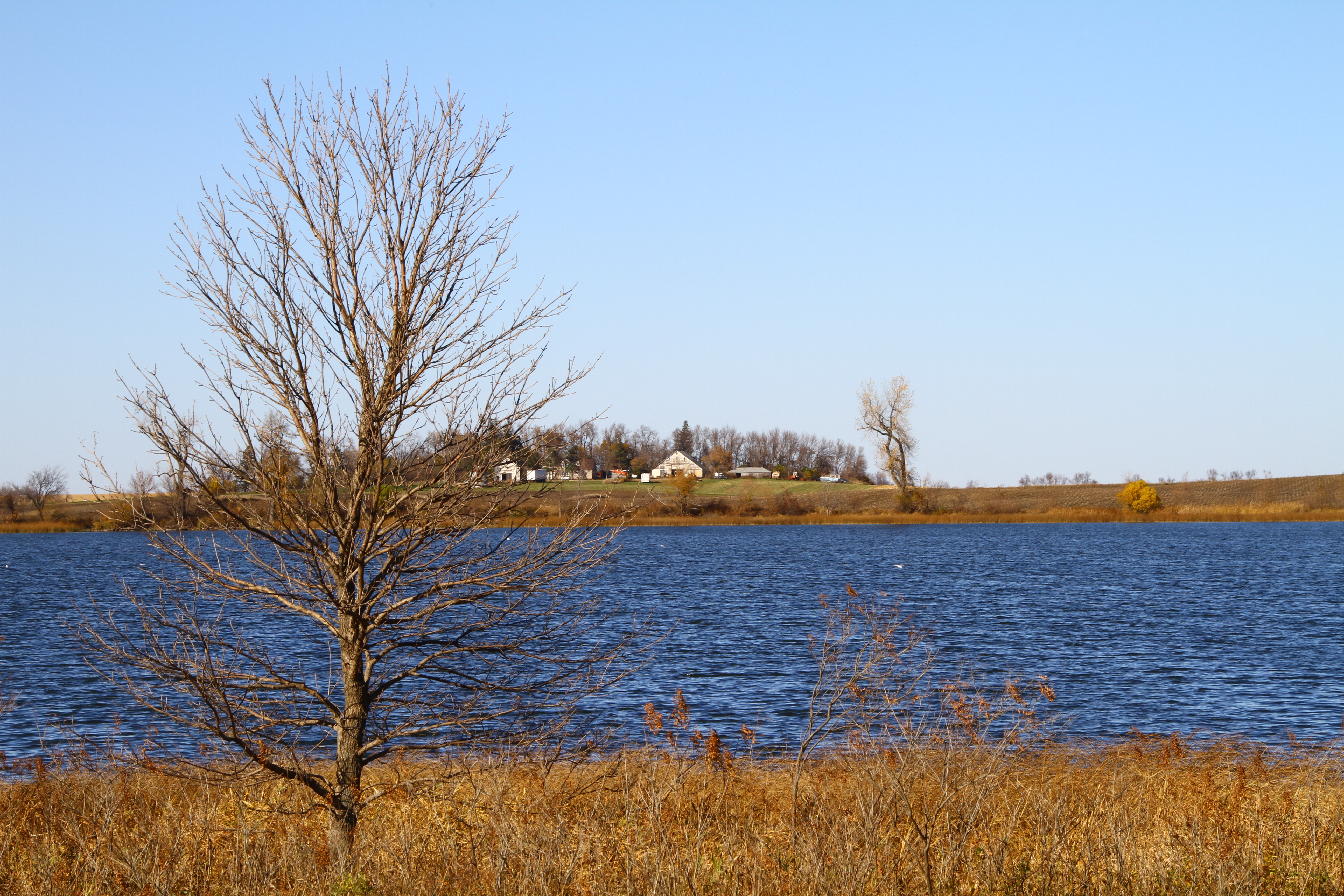
Frosty Homestead

Tree down in my backyard

2014-10-25T21_16_49

Prairie Larkspur

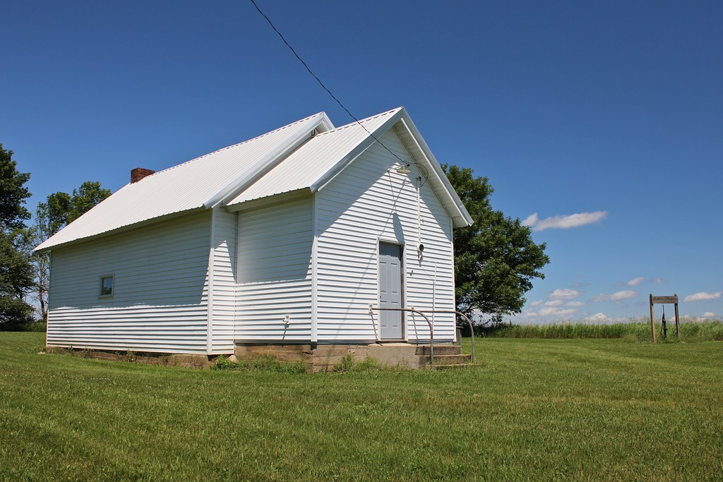
Public School - Ruthton, MN

Peace Lutheran Church - Ruthton, MN
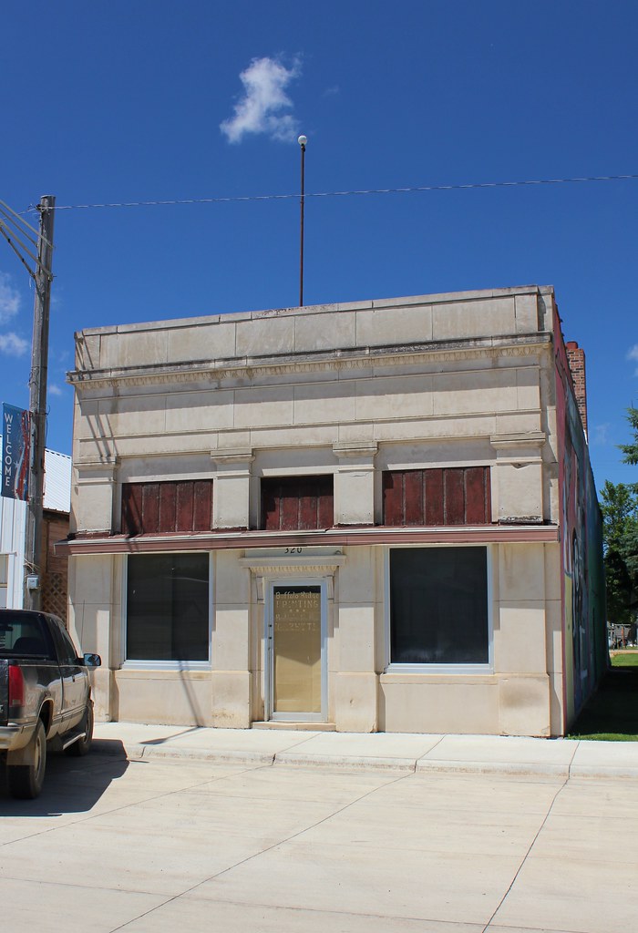
Bank Building - Ruthton, MN
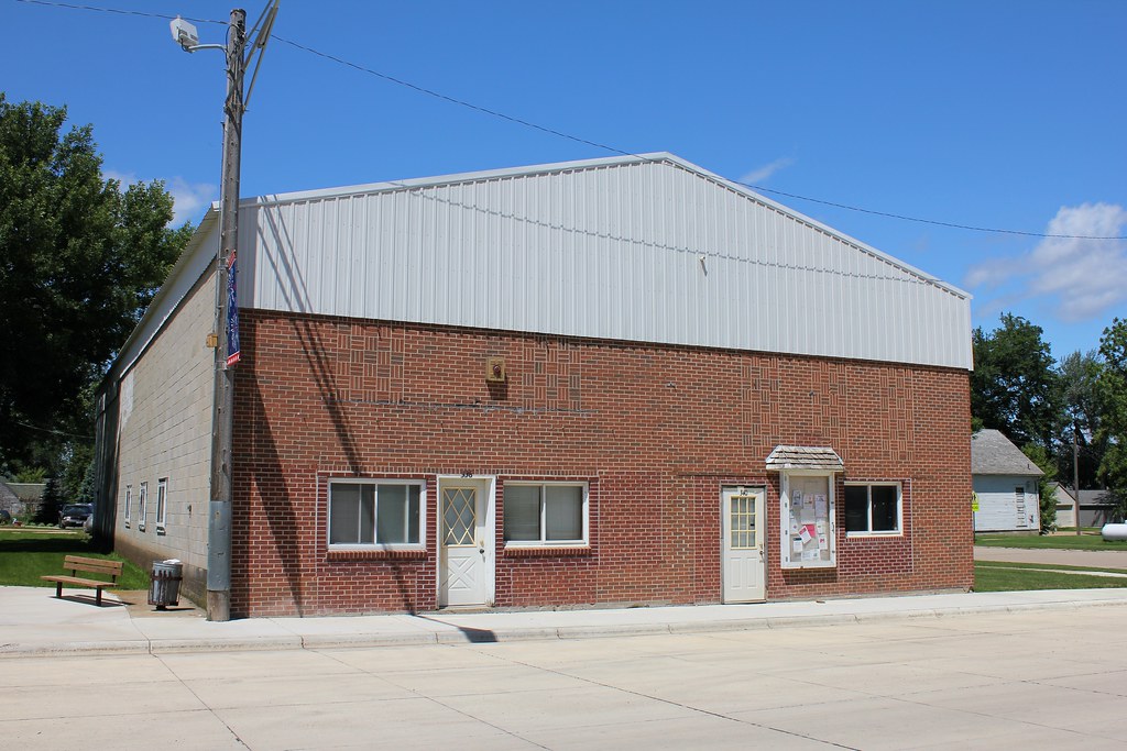
City Hall - Ruthton, MN
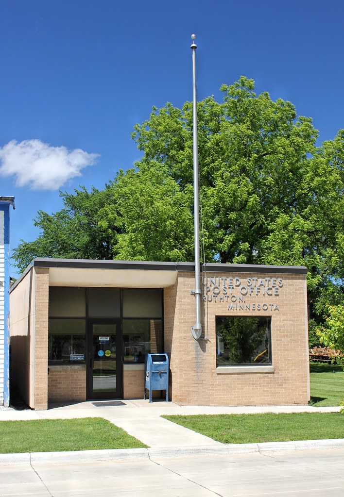
Post Office - Ruthton, MN

Country Church (Former) - Ruthton, MN
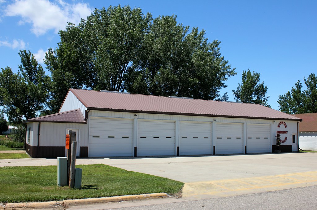
Fire Station - Ruthton, MN

Standard Station - Ruthton, MN
Skandia Township Hall - Current Lake, MN

Endangered Topeka Shiner, Windom WMD, Minnesota

Plains Topminnow, Windom WMD, Minnesota

Meet the Beatles
2014-10-25T21_17_57

City of Tyler
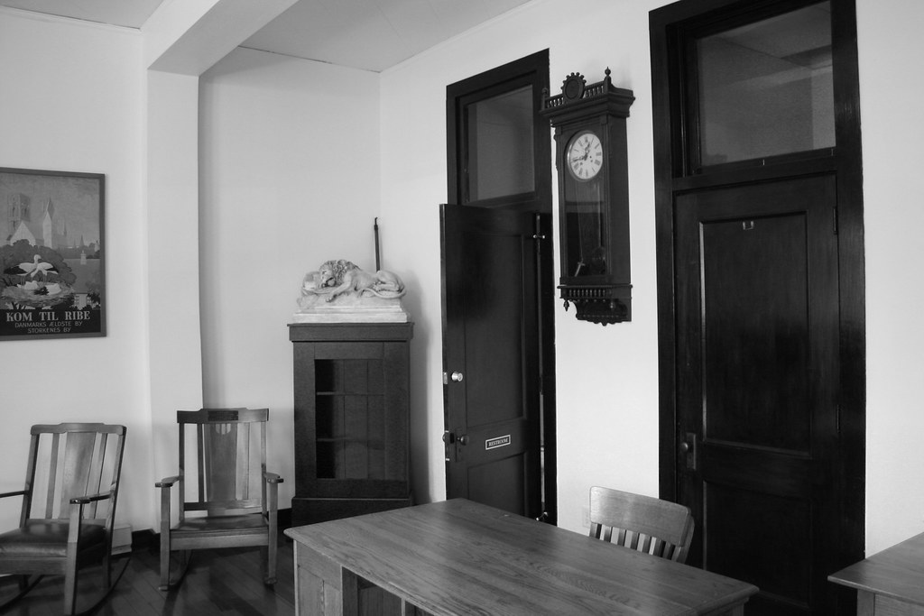
Danebod Interior
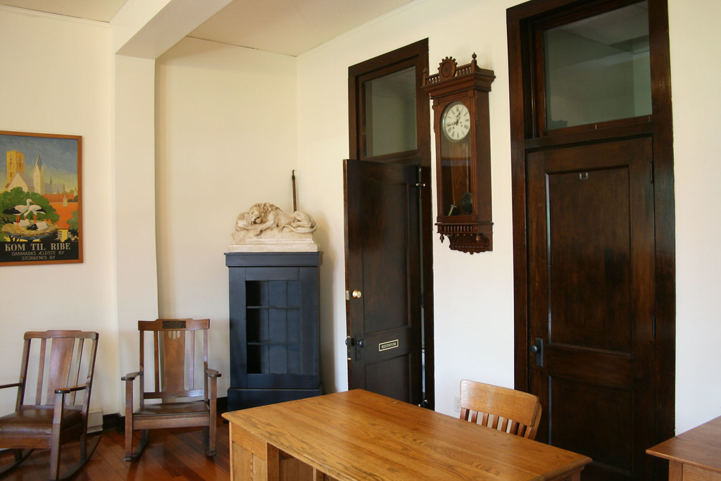
Danebod Interior
Topographic Map of Aetna St, Ruthton, MN, USA
Find elevation by address:

Places near Aetna St, Ruthton, MN, USA:
Ruthton
Blaine St, Ruthton, MN, USA
Shelburne Township
Holland
st St, Balaton, MN, USA
Mn-23 & Co Hwy 16
1752 120th Ave
Balaton, MN, USA
Woodstock
Russell, MN, USA
Rock Lake Township
Grange Township
Front St, Russell, MN, USA
E Benton St, Lake Benton, MN, USA
Arco
W Laurel St, Arco, MN, USA
3rd St, Balaton, MN, USA
Balaton
Hatfield
2nd St, Hatfield, MN, USA
Recent Searches:
- Elevation of Corso Fratelli Cairoli, 35, Macerata MC, Italy
- Elevation of Tallevast Rd, Sarasota, FL, USA
- Elevation of 4th St E, Sonoma, CA, USA
- Elevation of Black Hollow Rd, Pennsdale, PA, USA
- Elevation of Oakland Ave, Williamsport, PA, USA
- Elevation of Pedrógão Grande, Portugal
- Elevation of Klee Dr, Martinsburg, WV, USA
- Elevation of Via Roma, Pieranica CR, Italy
- Elevation of Tavkvetili Mountain, Georgia
- Elevation of Hartfords Bluff Cir, Mt Pleasant, SC, USA