Elevation of Aerodromo Maria Reiche, Panamericana Sur, Peru
Location: Peru > Ica > Nazca Province >
Longitude: -74.960737
Latitude: -14.854662
Elevation: 552m / 1811feet
Barometric Pressure: 95KPa
Elevation Map:
Satellite Map:
Related Photos:
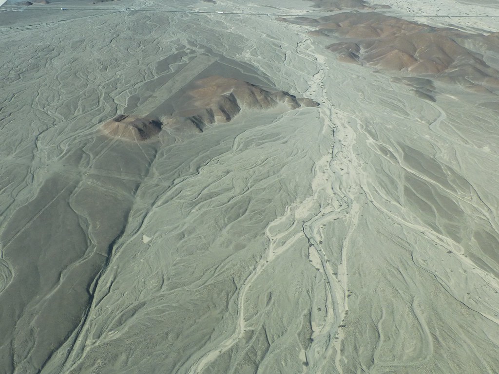
K5II-080315-127
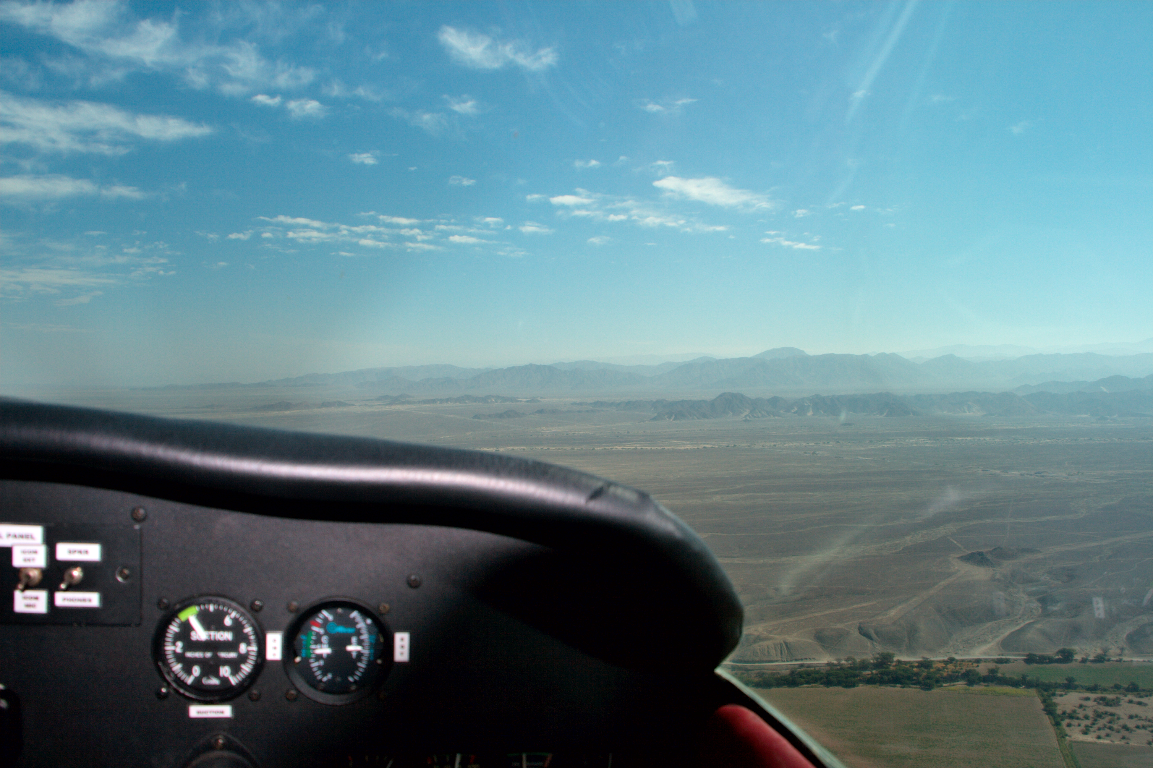
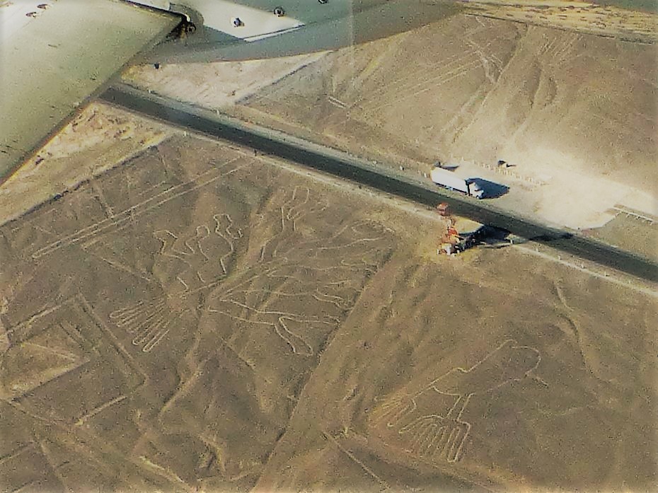
The view from the cockpit
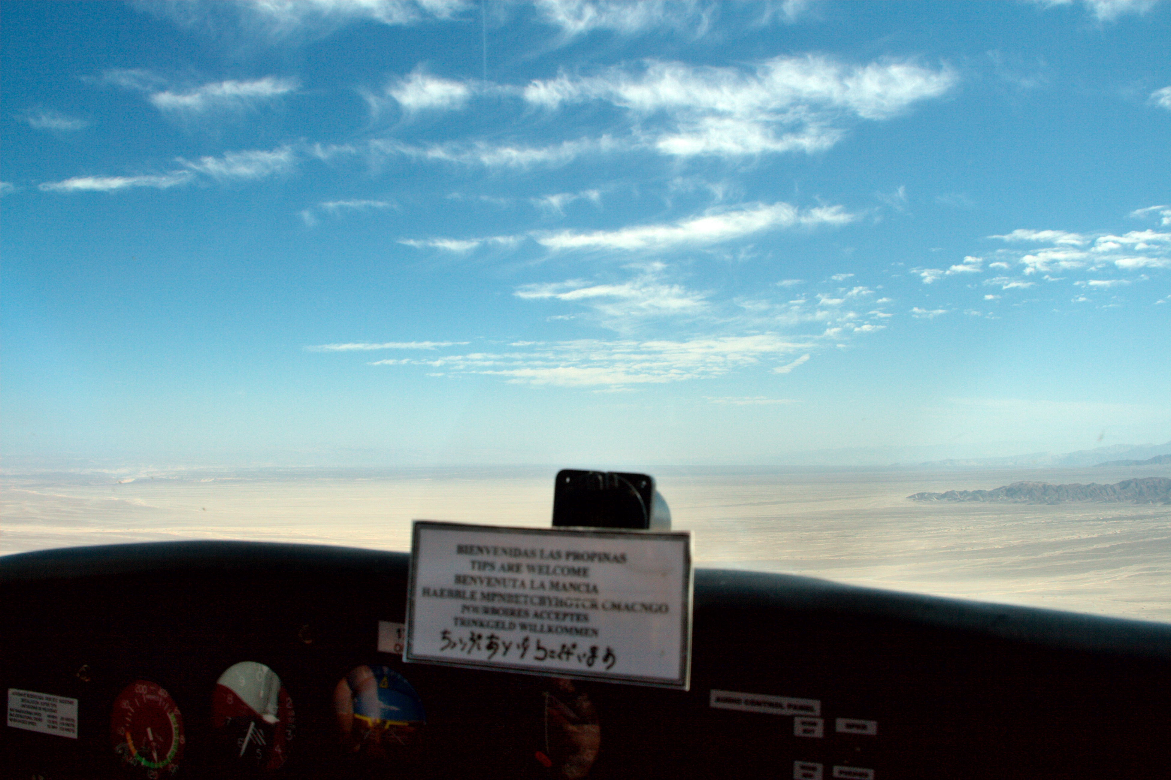
View from the cockpit
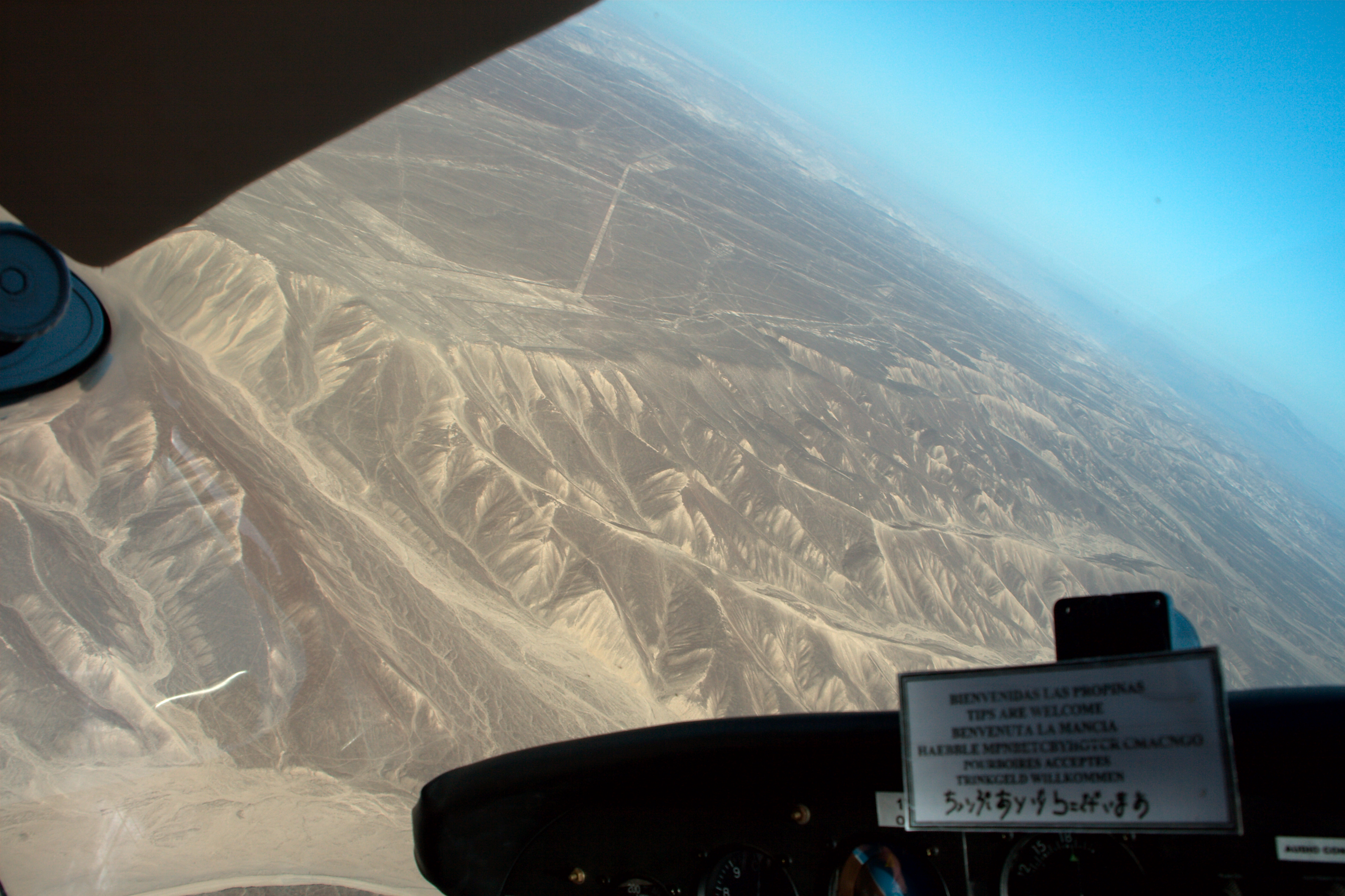
View from the cockpit
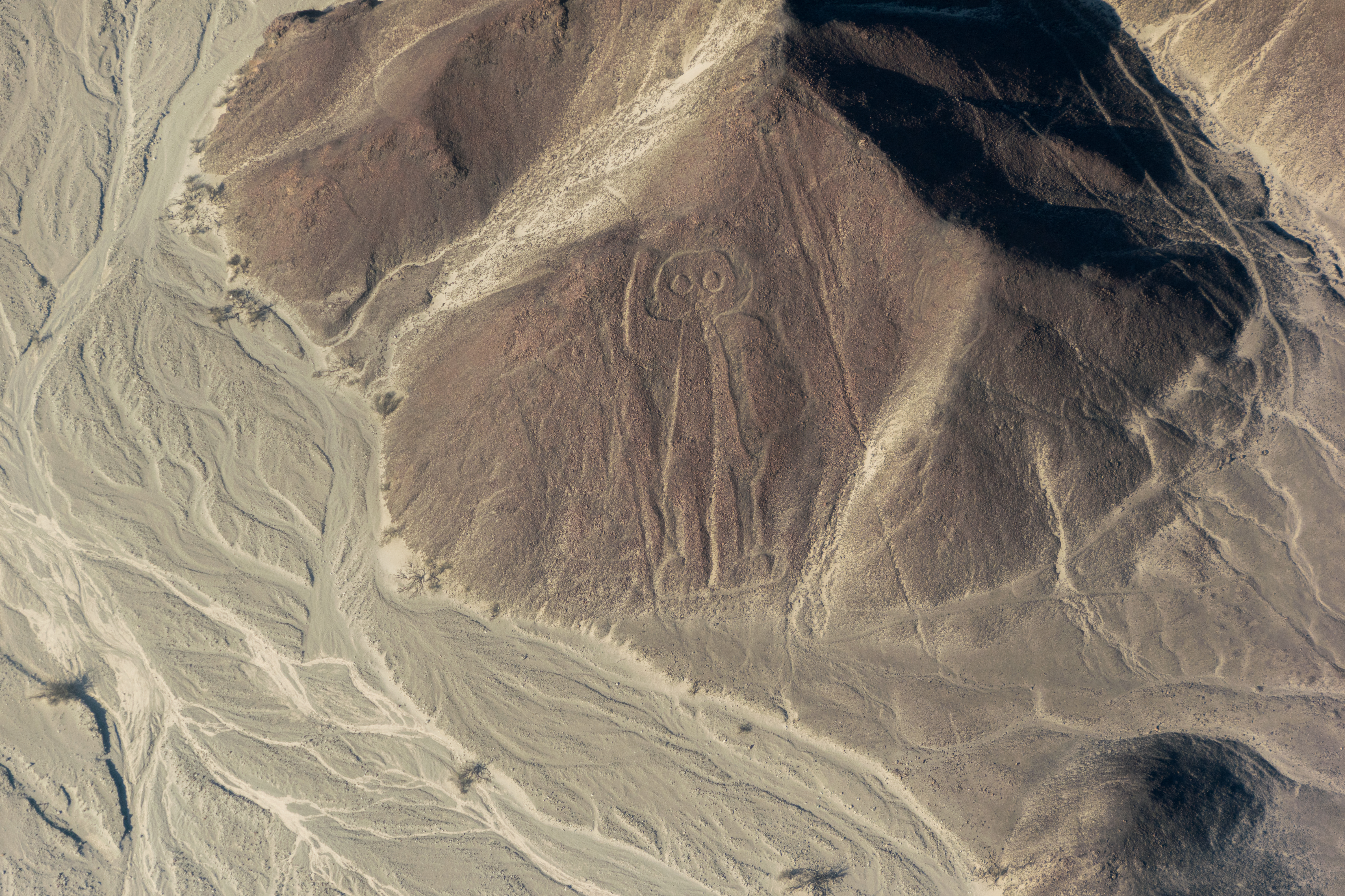
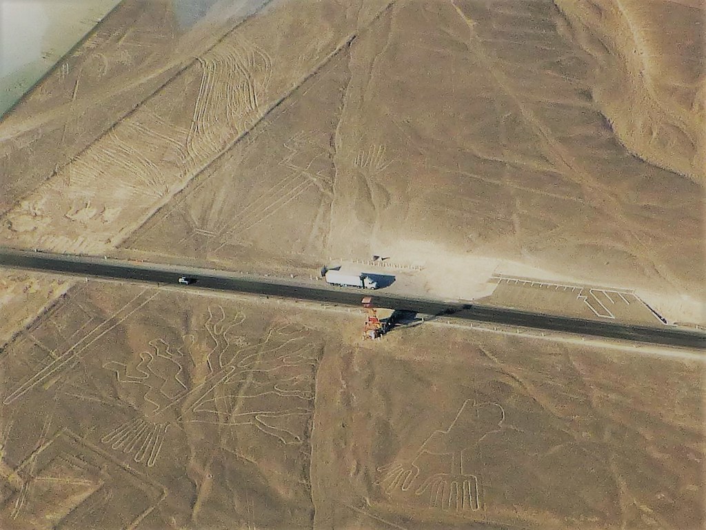
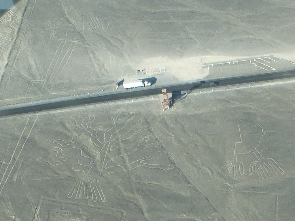
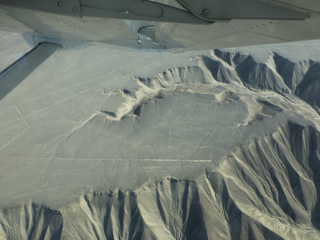
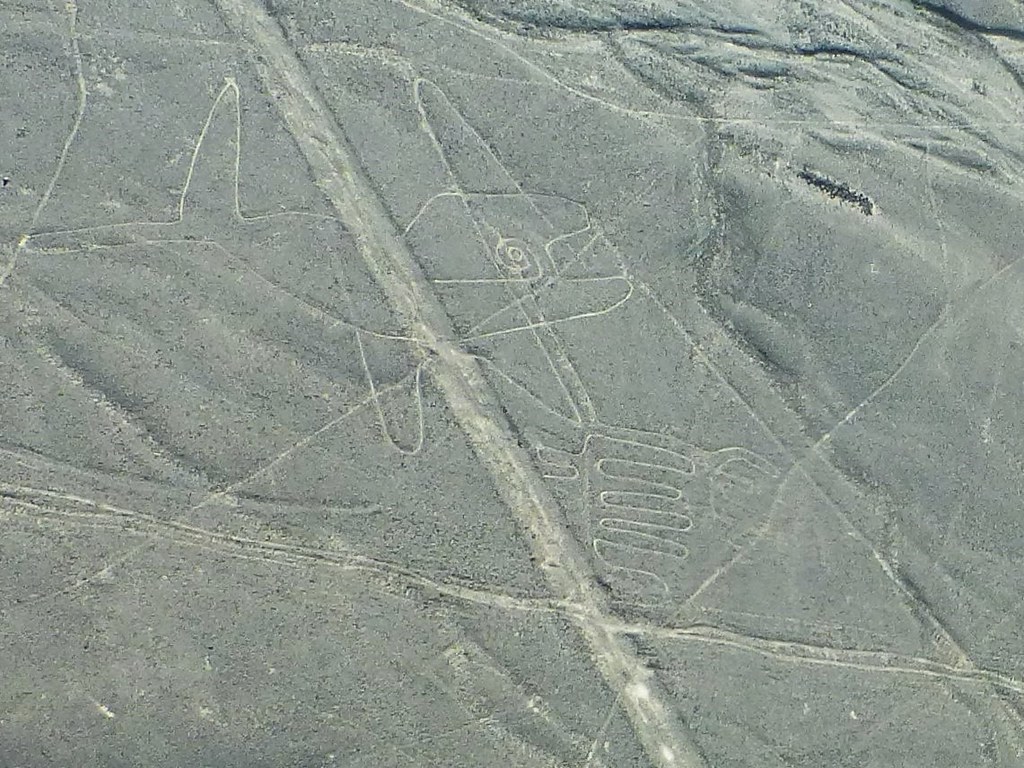
The Owlman
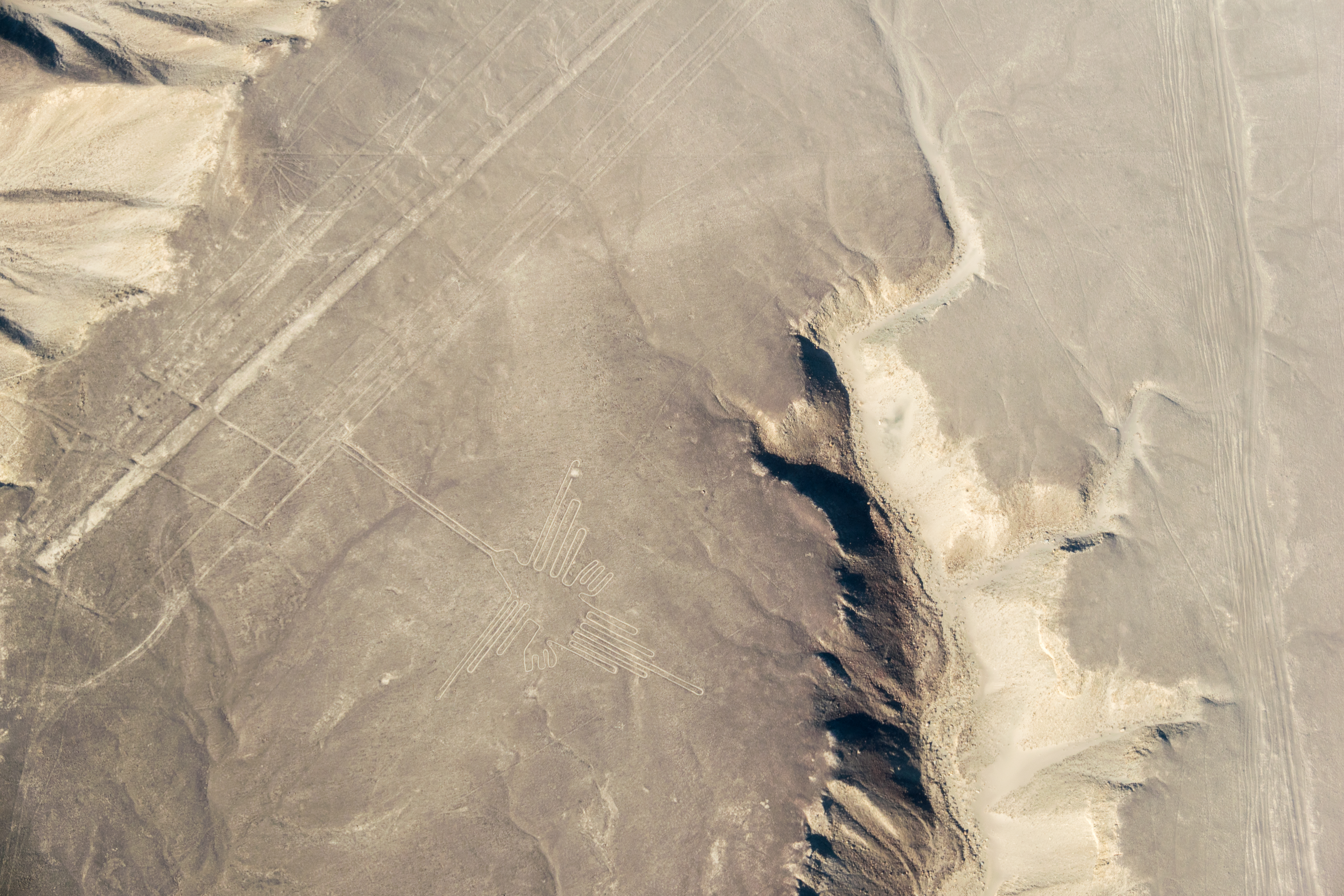
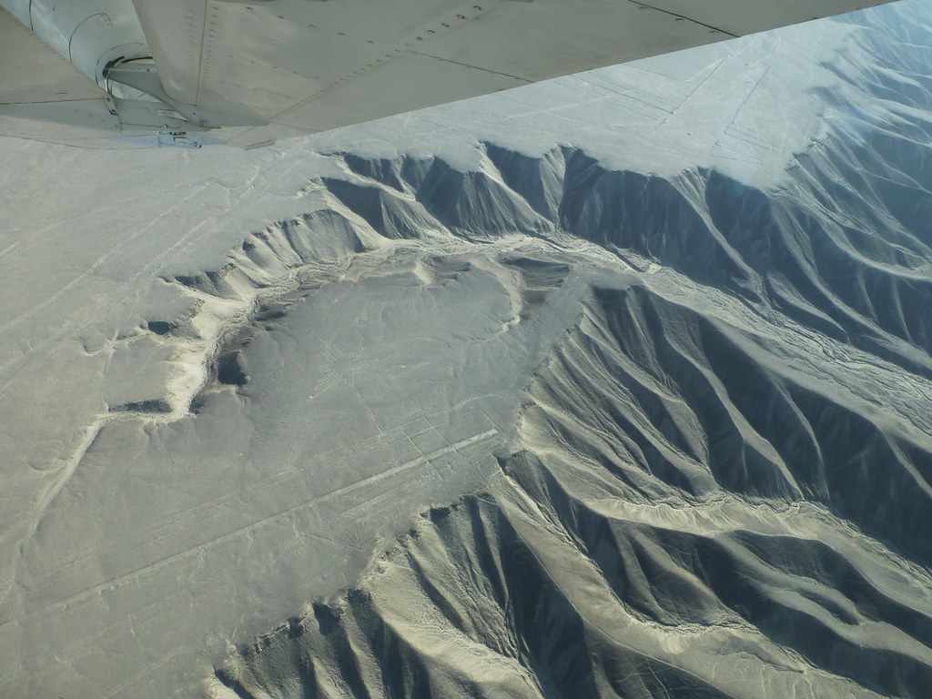
The Hummingbird
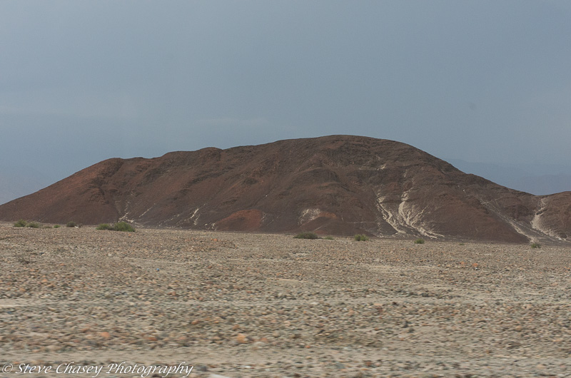
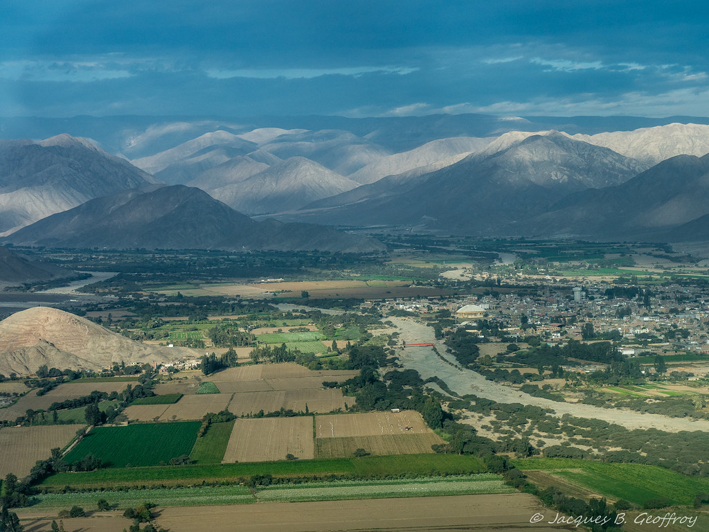
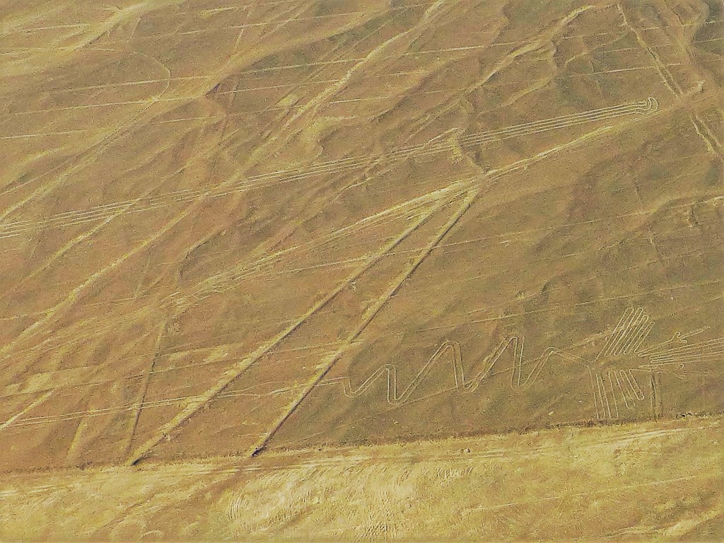
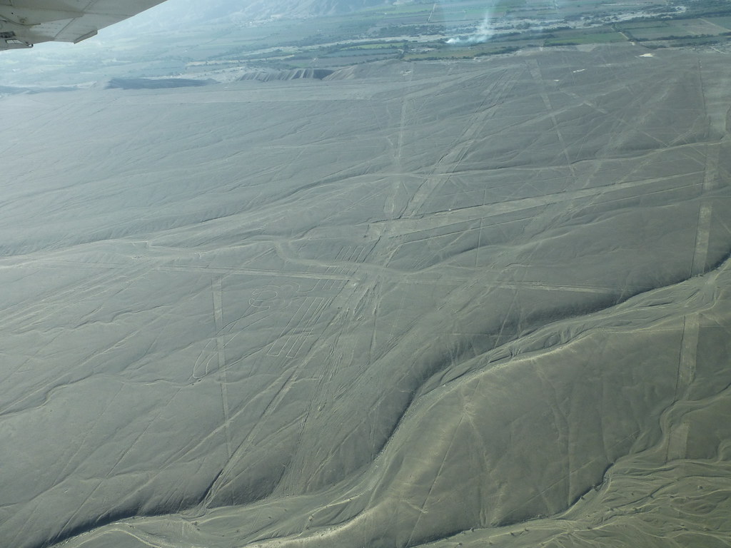
Nazca, Peru
Nazca, Peru

Aspettando Linee
P1210607 (2)
Eidechse, Baum, Hände 3
P1210672 (3)
S8270553.jpg
Eidechse, Hand, Echse 3
Eidechse, Baum, Hände 2
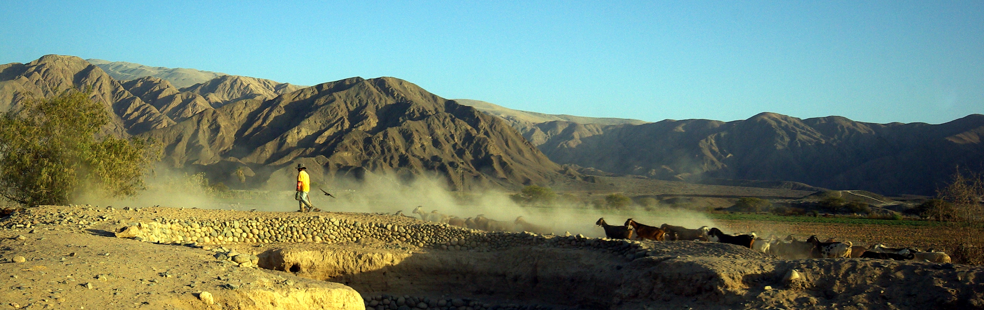
Alcatraz (Heron Bird) 3
Papagei (Parot) 1
Cmentarzysko Chachilla
1995-04-10_0637_Peru-847

Kolibri (Hummingbird) 1
Curvas en la carretera
Eidechse, Baum, Hände 2
Kolibri (Hummingbird) 1
Kolibri (Hummingbird) 1
Nazca (222)
PEROU - Nasca
Wal (Whale)
Topographic Map of Aerodromo Maria Reiche, Panamericana Sur, Peru
Find elevation by address:

Places near Aerodromo Maria Reiche, Panamericana Sur, Peru:
Nazca Province
Callao 483
Nazca
El Nuevo Cantalloc
Chauchilla Cemetery
Carr Interoceánica 80, Peru
Nazca Lines
Patacancha
Carr. Interoceanica 56, Peru
Caravelí Province
Ica
Ica
La Libertad, Ica, Peru
Plaza De Armas De Ica
Huacachina
Recent Searches:
- Elevation of Elwyn Dr, Roanoke Rapids, NC, USA
- Elevation of Congressional Dr, Stevensville, MD, USA
- Elevation of Bellview Rd, McLean, VA, USA
- Elevation of Stage Island Rd, Chatham, MA, USA
- Elevation of Shibuya Scramble Crossing, 21 Udagawacho, Shibuya City, Tokyo -, Japan
- Elevation of Jadagoniai, Kaunas District Municipality, Lithuania
- Elevation of Pagonija rock, Kranto 7-oji g. 8"N, Kaunas, Lithuania
- Elevation of Co Rd 87, Jamestown, CO, USA
- Elevation of Tenjo, Cundinamarca, Colombia
- Elevation of Côte-des-Neiges, Montreal, QC H4A 3J6, Canada