Elevation of Adjuntas, Puerto Rico
Location: Puerto Rico > Adjuntas > Capáez >
Longitude: -66.722118
Latitude: 18.1627363
Elevation: 501m / 1644feet
Barometric Pressure: 95KPa
Elevation Map:
Satellite Map:
Related Photos:
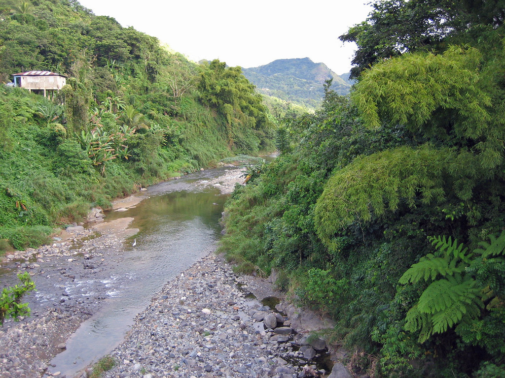
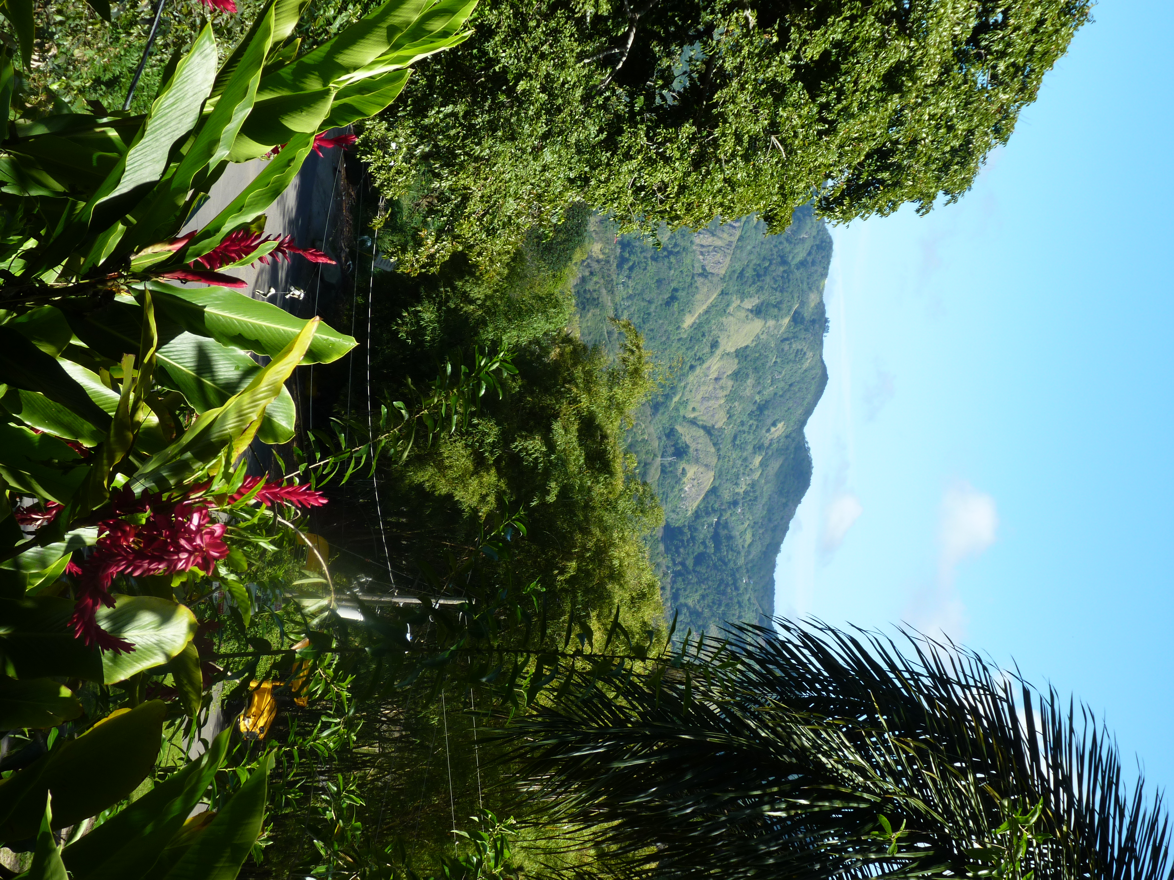
Río Grande de Arecibo / Bambú (Bambusa vulgaris), Adjuntas, Puerto Rico
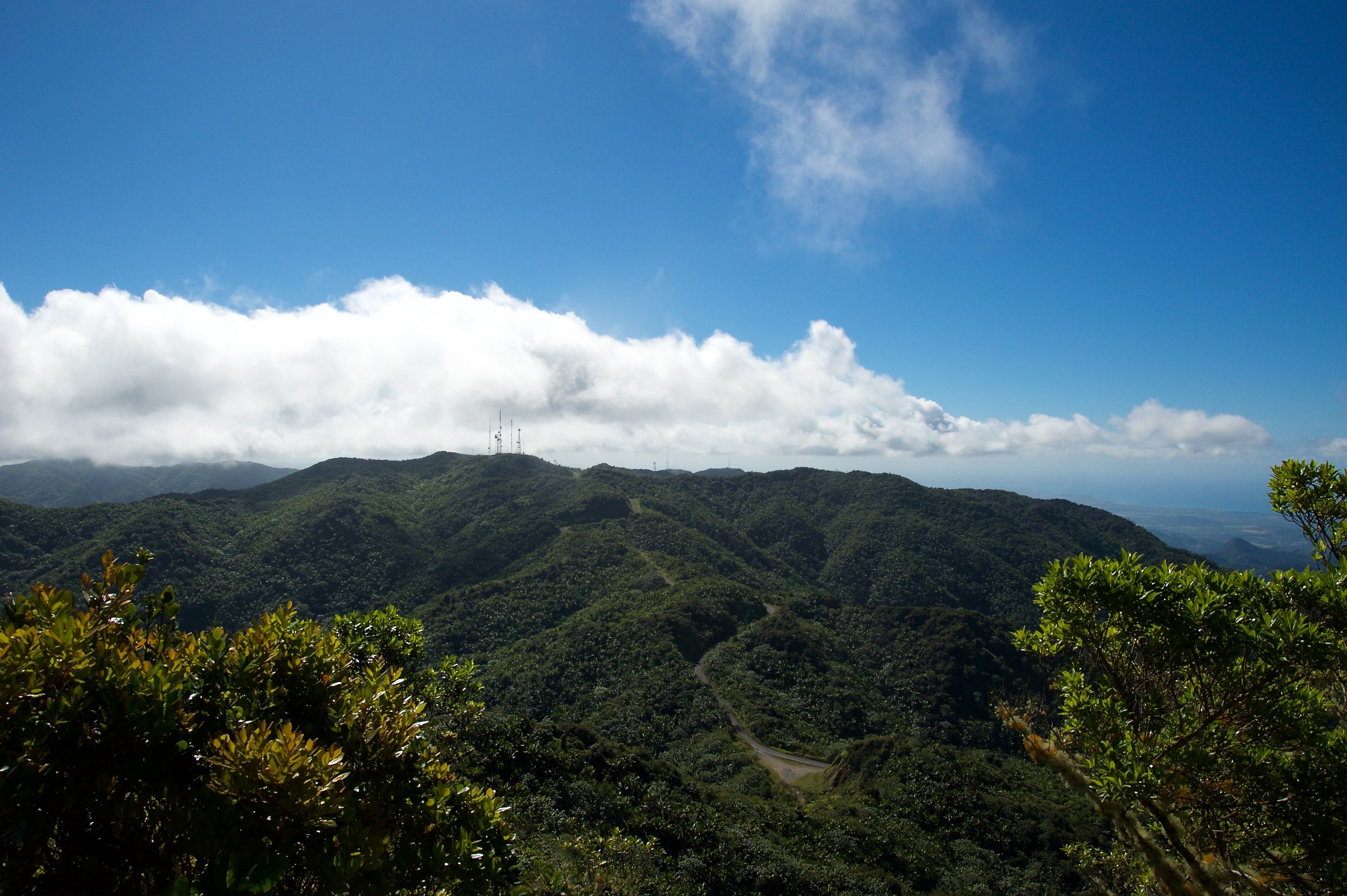
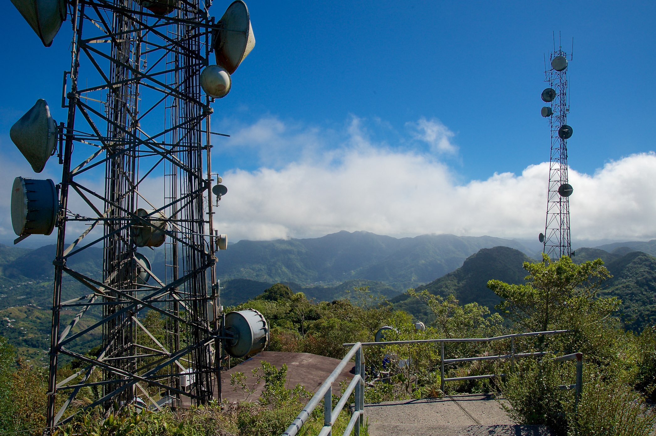
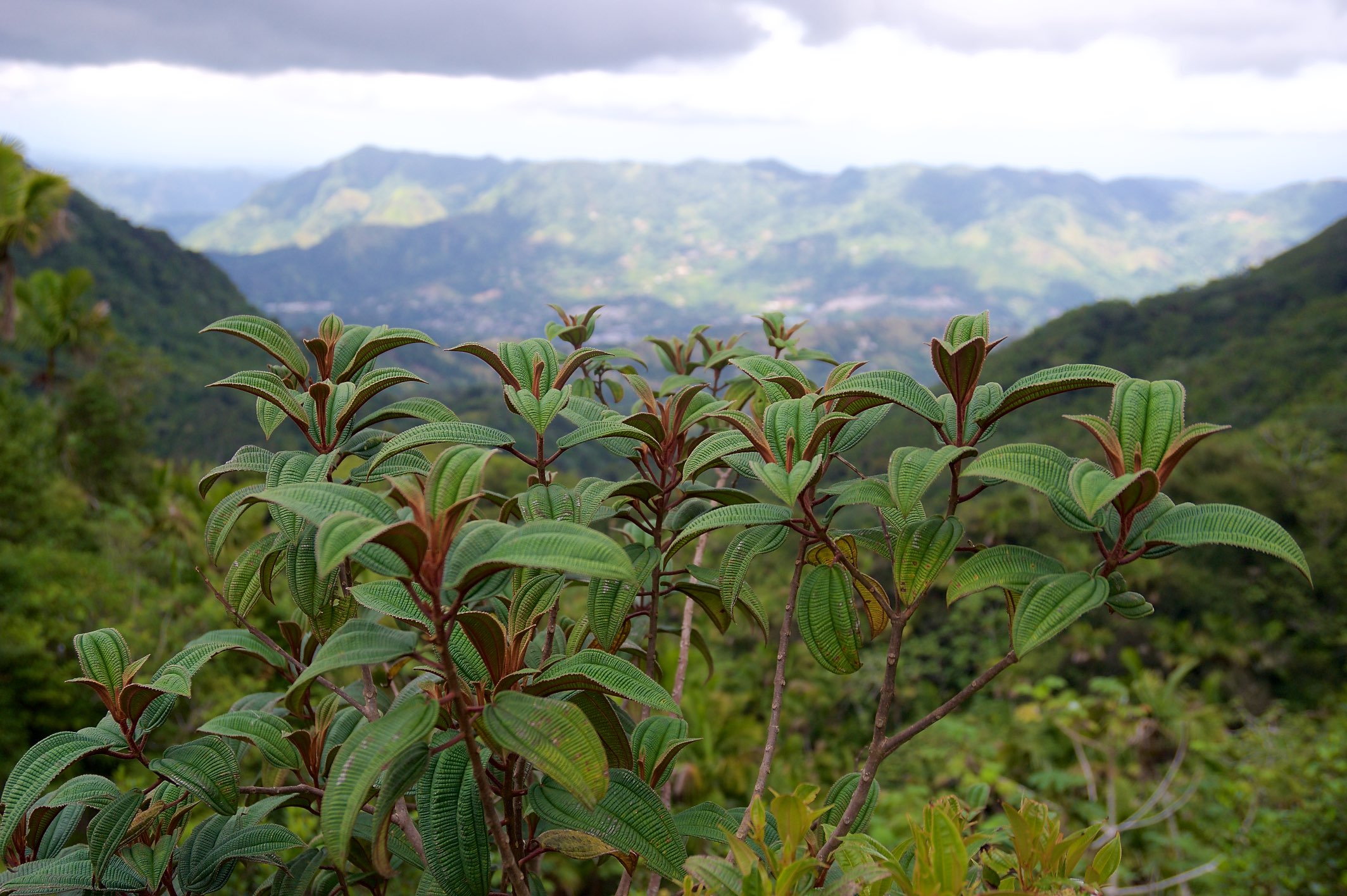
View from KP4/CC-001 - Cerro de Punta

View of KP4/CC-001 - Cerro de Punta

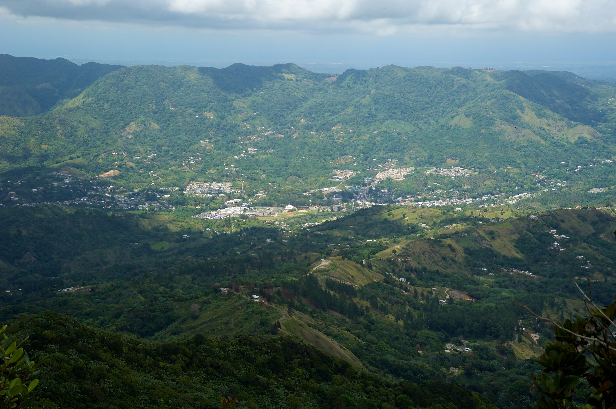
A view of the spot where we stood looking towards the city. That is to show you how powerful my lens is.
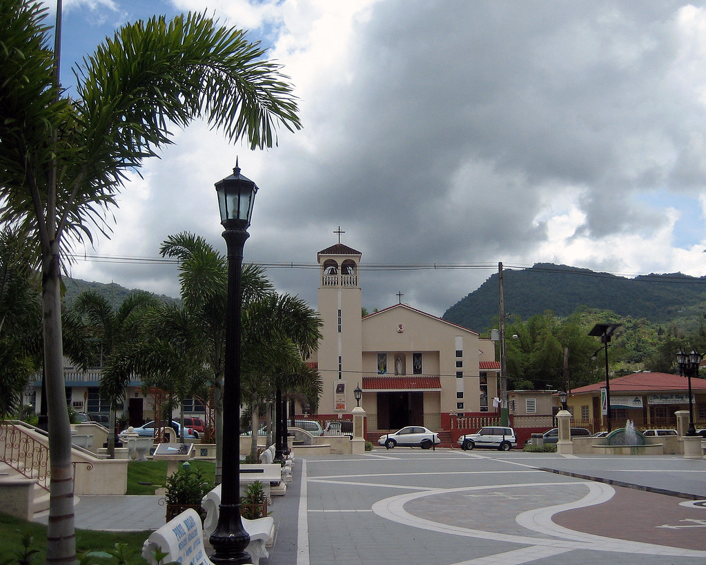
Adjuntas, Puerto Rico, plaza / town's square

You are not lost if you don't care where you are

View from KP4/CC-001 - Cerro de Punta
View from KP4/CC-001 - Cerro de Punta

The blue box is a water tank. Behind that to the left is the farm where I grew up. View from the new bridge towards Adjuntas, Puerto Rico.
Jayuya, Hacienda Gripinas balcony view

A view from the intersection of the road going towards the farm and the house and the city.
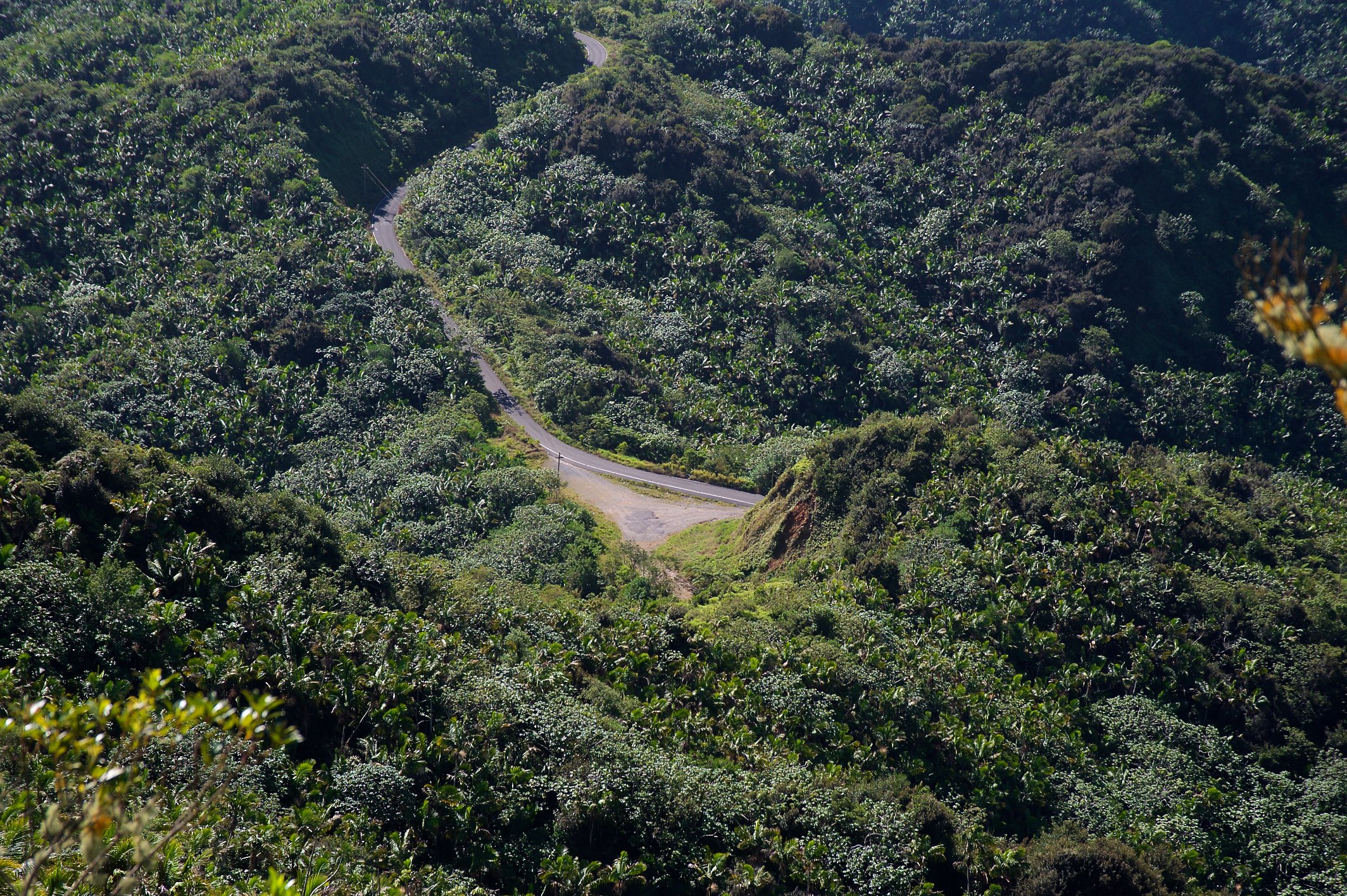
View of Trailhead for KP4/CC-001 - Cerro de Punta

A view to Parador Villas Sotomayor in Adjuntas, PR.

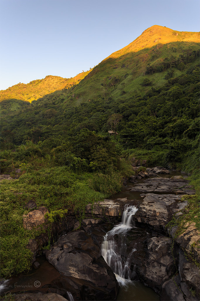
A view towards the town of Adjuntas.
View from KP4/CC-001 - Cerro de Punta
View Jayuya from KP4/CC-001 - Cerro de Punta
IMG_2364-Edit-Edit

IMG_6940-Edit
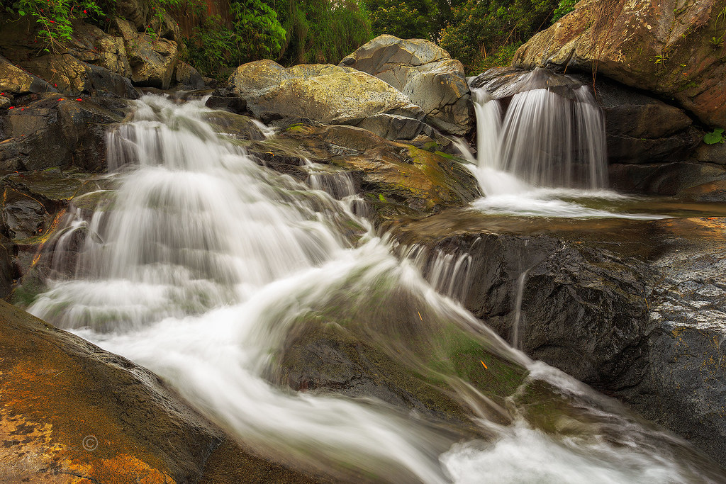
Rio Las Vaca
Rio La Vaca

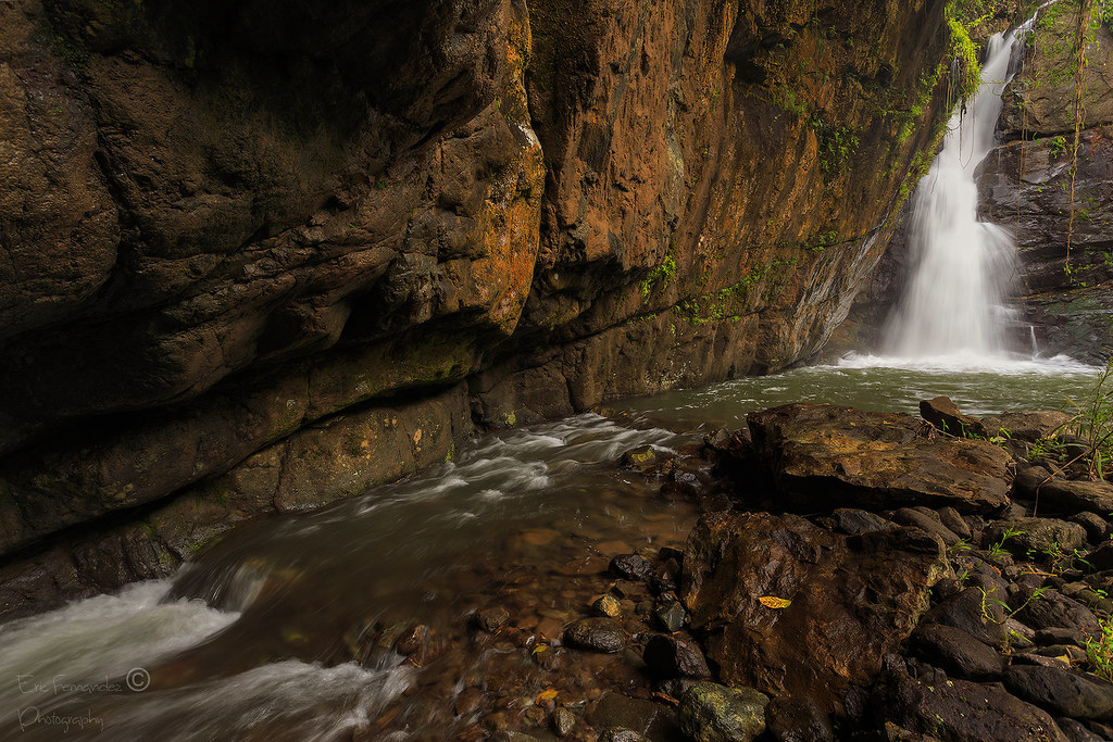
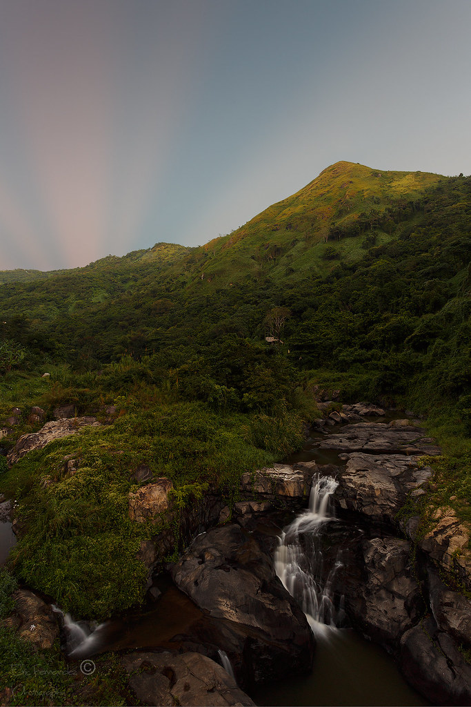
Coffin Waterfall
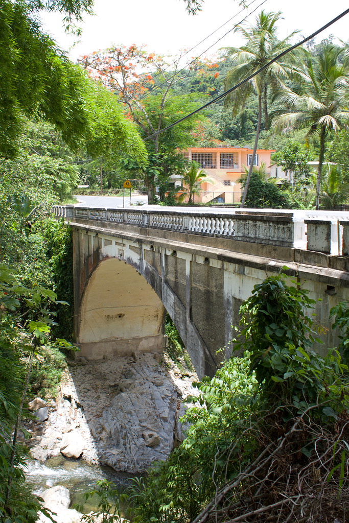
Puente Blanco, Utuado, Puerto Rico

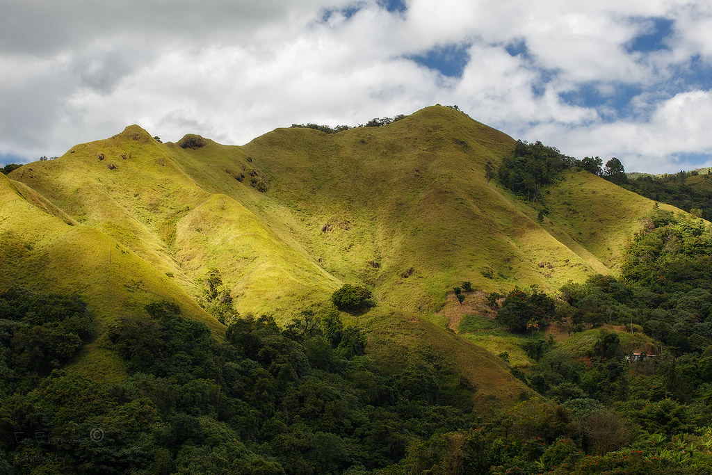
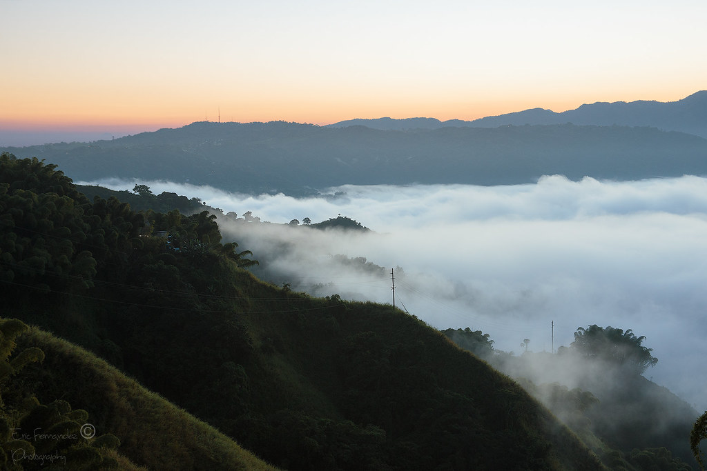
Rain, mountains, valley... Adjuntas, Puerto Rico
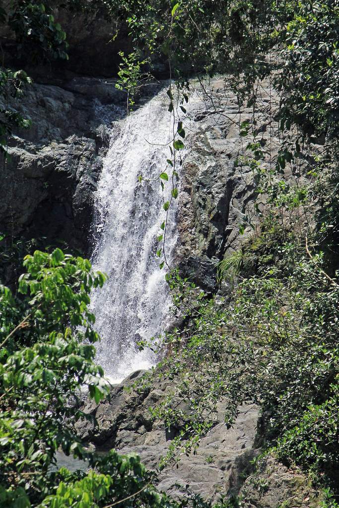
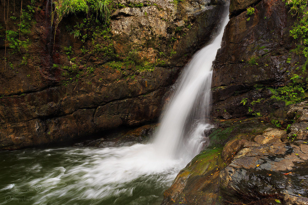
Cascada Rio Garzas, Adjuntas, Puerto Rico

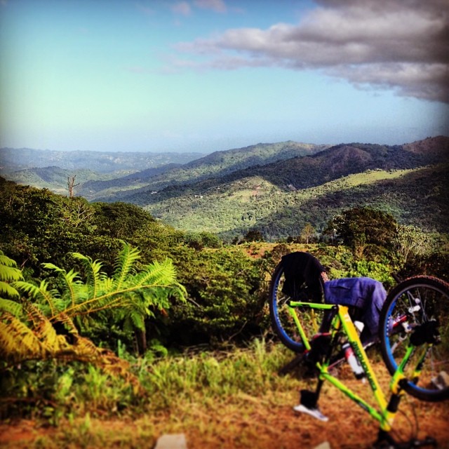
Waterfall on the way to KP4/CC-001 - Cerro de Punta
Right In Two
IMG_1927-Edit-2

lago dos bocas
Light at the edge

El faro en Rincon

Rio Jayuya
Buenos Días!
IMG_4647-Edit

Preferiría Estar de Camino a Adjuntas - I'd Rather Be On The Way To Adjuntas
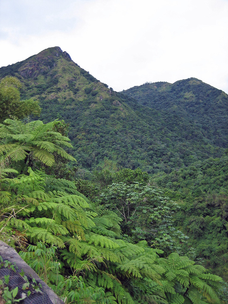
Cyathea arborea, Caribbean tree fern, palmilla, helecho gigante, Adjuntas, Puerto Rico
Topographic Map of Adjuntas, Puerto Rico
Find elevation by address:

Places near Adjuntas, Puerto Rico:
Adjuntas
Garzas
Vegas Arriba
Capáez
Guilarte
Guaraguao
Guaraguao
PR-, Adjuntas, Puerto Rico
PR-, Adjuntas, Puerto Rico
Paso Palma
Cañon Blanco Utuado
Utuado
Utuado
Utuado, Puerto Rico
Utuado
Highway 528
Zamas
Cerro De Punta
Jayuya
Jayuya
Recent Searches:
- Elevation of Tenjo, Cundinamarca, Colombia
- Elevation of Côte-des-Neiges, Montreal, QC H4A 3J6, Canada
- Elevation of Bobcat Dr, Helena, MT, USA
- Elevation of Zu den Ihlowbergen, Althüttendorf, Germany
- Elevation of Badaber, Peshawar, Khyber Pakhtunkhwa, Pakistan
- Elevation of SE Heron Loop, Lincoln City, OR, USA
- Elevation of Slanický ostrov, 01 Námestovo, Slovakia
- Elevation of Spaceport America, Co Rd A, Truth or Consequences, NM, USA
- Elevation of Warwick, RI, USA
- Elevation of Fern Rd, Whitmore, CA, USA