Elevation of Addy St, Washougal, WA, USA
Location: United States > Washington > Skamania County > Washougal >
Longitude: -122.33567
Latitude: 45.5760617
Elevation: 12m / 39feet
Barometric Pressure: 101KPa
Elevation Map:
Satellite Map:
Related Photos:

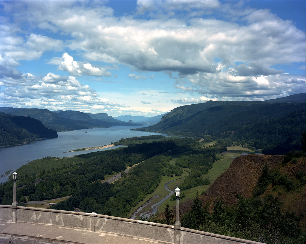
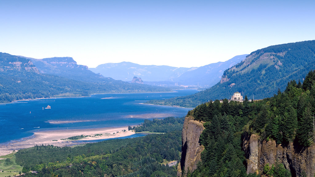
The Vista House

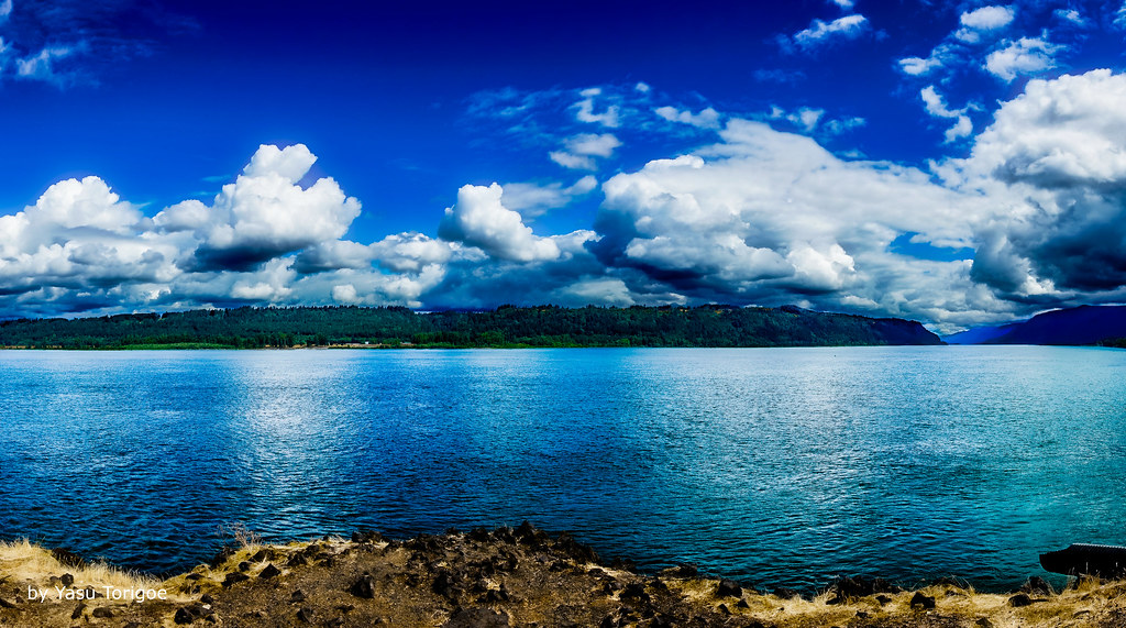
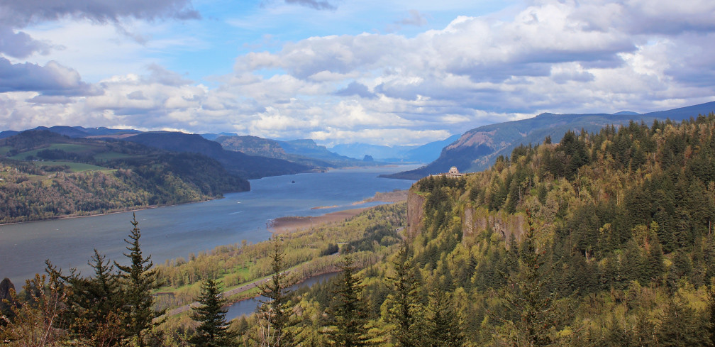
Columbia river gorge
View of Columbia River Near Portland OR USA-5a
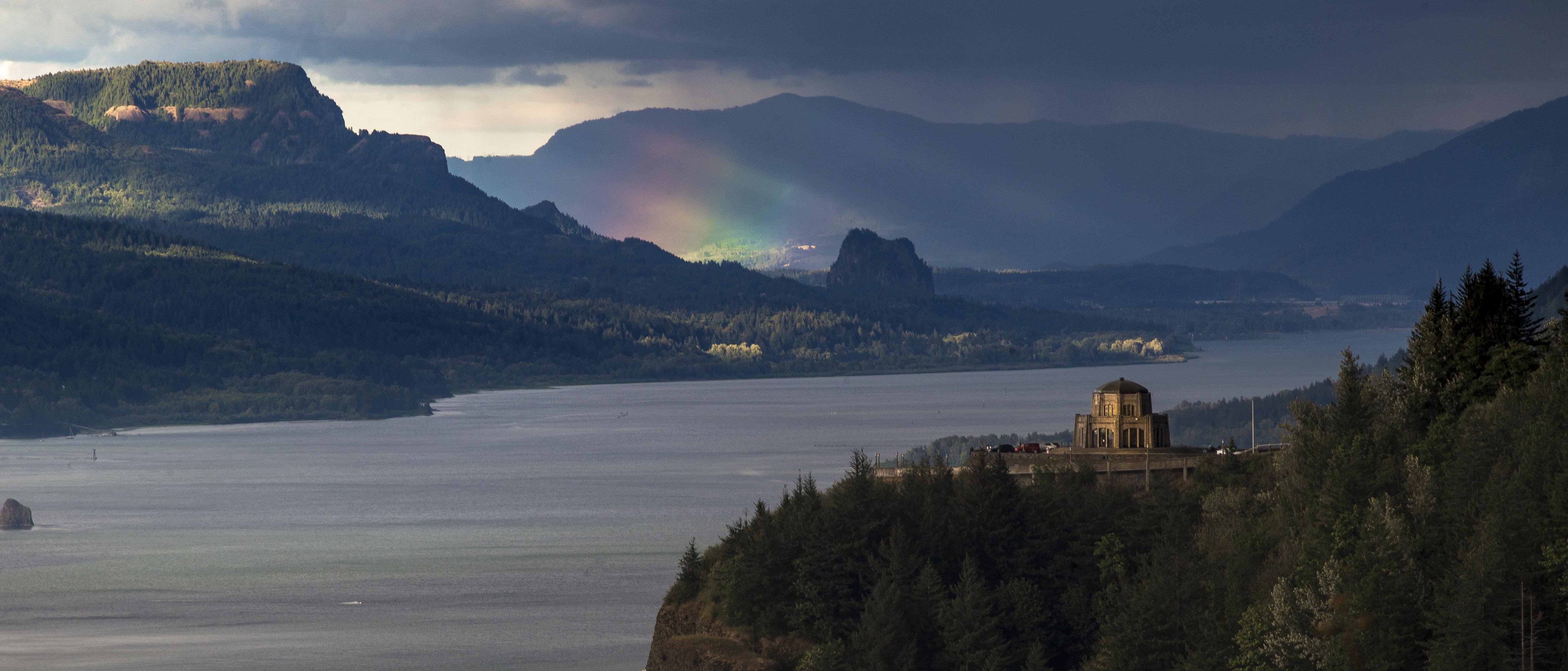
Rainbow in the Columbia River Gorge

Rainy Day over the Columbia River Near Portland OR USA-7a

The Columbia Gorge from Crown Point, Dec 2019

Rainy Day Looking Towards Latourell Fall Near Portland OR USA-6a (in Explore)

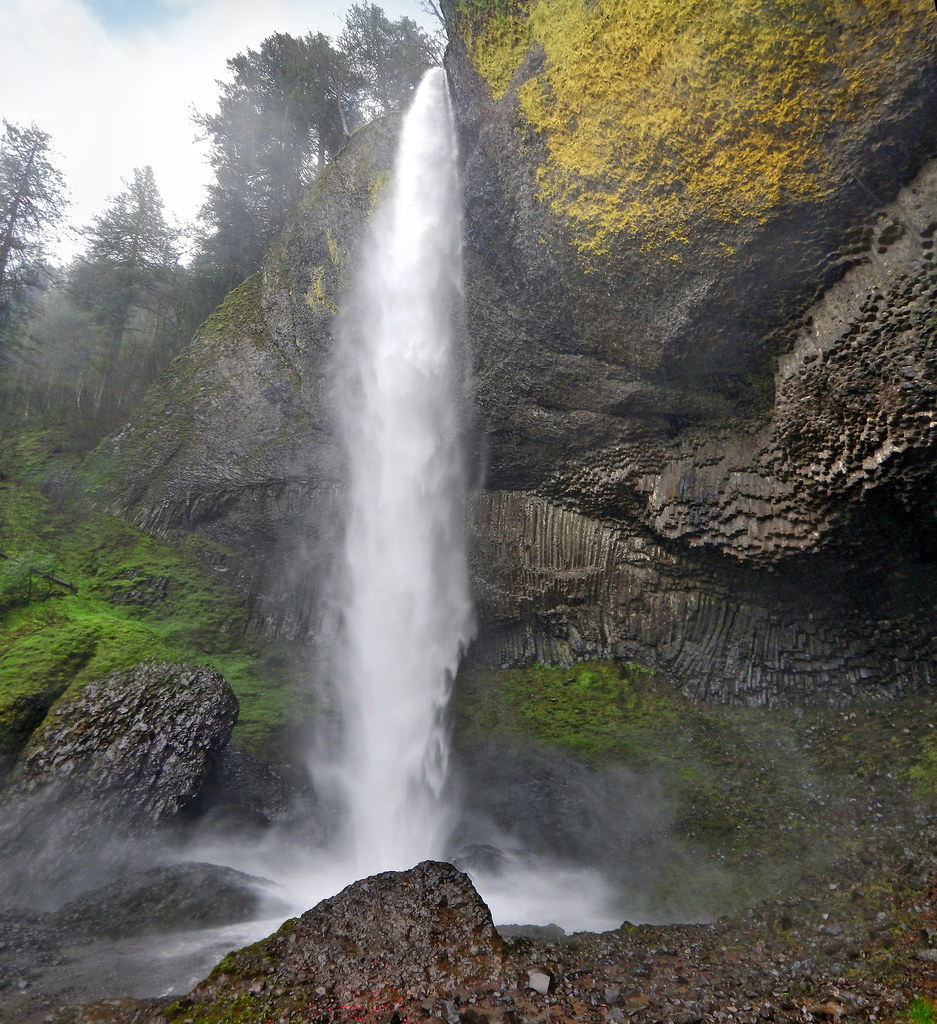
Wahkeena Falls Under the Road

Columbia River and Sand Island

Vista House ~Oregon State ~ Columbia Gorge ~ My Old Photo
The Columbia Gorge from Crown Point, August 2013

Multnomah Falls in winter . . . . #multnomahfalls #waterfallsfordays #pdx #waterfall #pdxnow #travelportland #exploreportland #explorecreateshare #purplepassport #winter #frozenwaterfall #traveloregon #exploreoregon #oregonexplored #cascadiaexplored #expl

Vista House ~Oregon State ~ Columbia Gorge ~ My Old Photo

There And Back Again

Multnomah Falls looks so beautiful up close when it's frozen . . . . #multnomahfalls #waterfallsfordays #pdx #waterfall #pdxnow #travelportland #exploreportland #explorecreateshare #purplepassport #winter #frozenwaterfall #traveloregon #exploreoregon #ore

Classic View of the Columbia River Gorge

Columbia River Sunset

Lush Green Colors Along the Bridal Veil Creek

Views of the Columbia River at Chanticleer Point
A foggy view from Crown Point

From Near to Far While Taking in the Gorge

Multnomah Falls
Columbia River Gorge

Columbia River Gorge

Winter Latourell Falls

Crown Point

Bridal Falls

Bridal Veil Falls
Columbia River
Latourell Falls

Latourell Color

Luckdragon at Upper Latourell

Beacon Rock and Vista House

Bridal Veil Falls Oregon

Bridal Veil Falls, February 2020
Topographic Map of Addy St, Washougal, WA, USA
Find elevation by address:

Places near Addy St, Washougal, WA, USA:
3440 C St
3440 C St
3280 I St
3440 J St
3530 J St
3232 P St
3232 P St
3290 P St
1620 41st Ct
1052 42nd St
2104 37th St
1145 43rd St
2446 33rd Ct
3651 Z St
3521 Z St
3594 Cedar Ct
844 50th St
685 51st St
2986 38th St
34915 Se 61st Cir
Recent Searches:
- Elevation of Lampiasi St, Sarasota, FL, USA
- Elevation of Elwyn Dr, Roanoke Rapids, NC, USA
- Elevation of Congressional Dr, Stevensville, MD, USA
- Elevation of Bellview Rd, McLean, VA, USA
- Elevation of Stage Island Rd, Chatham, MA, USA
- Elevation of Shibuya Scramble Crossing, 21 Udagawacho, Shibuya City, Tokyo -, Japan
- Elevation of Jadagoniai, Kaunas District Municipality, Lithuania
- Elevation of Pagonija rock, Kranto 7-oji g. 8"N, Kaunas, Lithuania
- Elevation of Co Rd 87, Jamestown, CO, USA
- Elevation of Tenjo, Cundinamarca, Colombia