Elevation map of Acklins, The Bahamas
Location: The Bahamas >
Longitude: -74.053512
Latitude: 22.3657708
Elevation: 5m / 16feet
Barometric Pressure: 101KPa
Elevation Map:
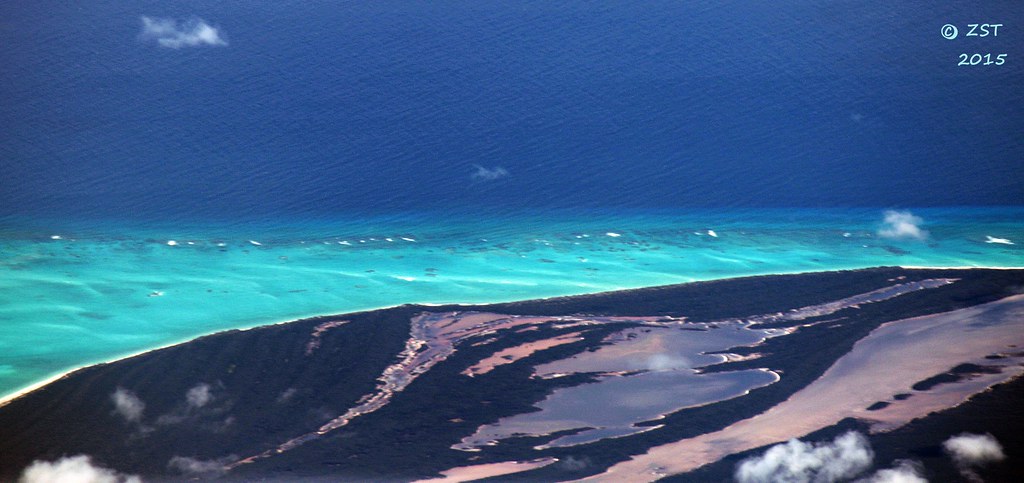
Satellite Map:
Related Photos:

Reserve Bay, Acklins Cay
Carbonate Shoals - Acklins Cay

Providenciales, Turks and Caicos

Crooked Island, The Bahamas

Dominoes at Springpoint airport cafe

Waitin' for the plane on Acklins

CO 1069-240-23
Topographic Map of Acklins, The Bahamas
Find elevation by address:

Places in Acklins, The Bahamas:
Places near Acklins, The Bahamas:
Recent Searches:
- Elevation of Jais St - Wadi Shehah - Ras al Khaimah - United Arab Emirates
- Elevation of Shawnee Avenue, Shawnee Ave, Easton, PA, USA
- Elevation of Scenic Shore Dr, Kingwood Area, TX, USA
- Elevation of W Prive Cir, Delray Beach, FL, USA
- Elevation of S Layton Cir W, Layton, UT, USA
- Elevation of F36W+3M, Mussoorie, Uttarakhand, India
- Elevation of Fairland Ave, Fairhope, AL, USA
- Elevation of Sunset Dr, Richmond, VA, USA
- Elevation of Grodna District, Hrodna Region, Belarus
- Elevation of Hrodna, Hrodna Region, Belarus