Elevation of Aburi, Ghana
Location: Ghana > Eastern Region >
Longitude: -0.1729106
Latitude: 5.8511836
Elevation: 461m / 1512feet
Barometric Pressure: 96KPa
Elevation Map:
Satellite Map:
Related Photos:
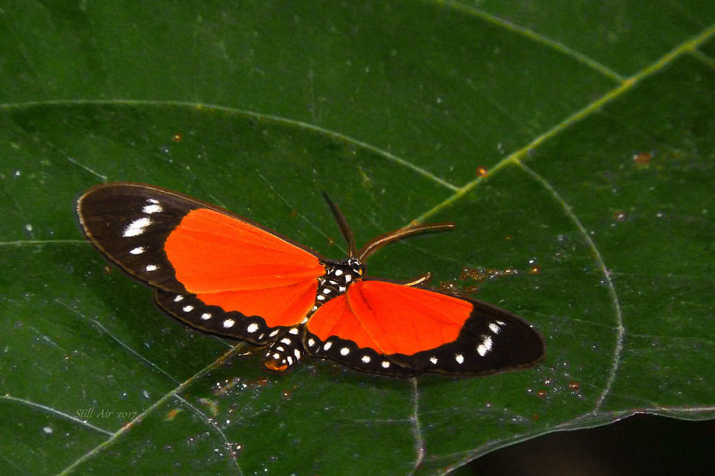
Aletis helcita or Scopula helcita (M00002)
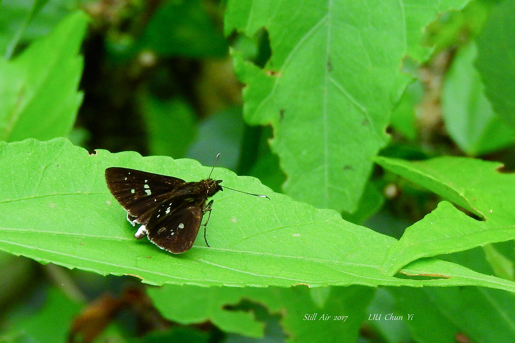
Gorgyra species Probably (B00125, GH00074)
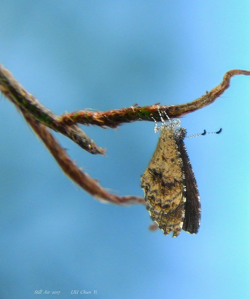
Eresina theodori(Theodor's Eresina) (B00131, GH00079)

"I'm Tough..."

Partial Eclipse 3rd November 2013 Ghana

Aburi Festival 2011
Larteh Hillside

Bird Watching
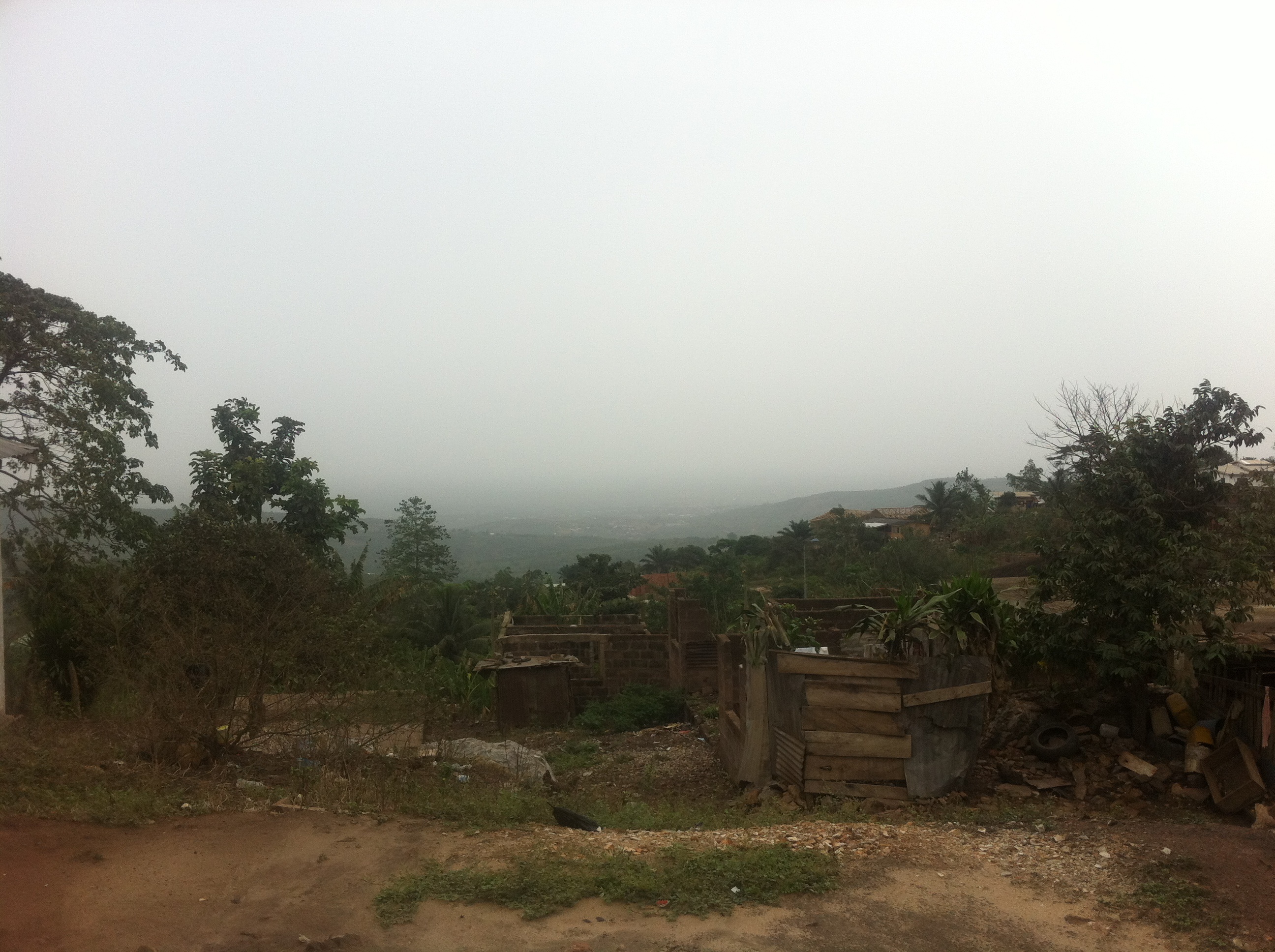
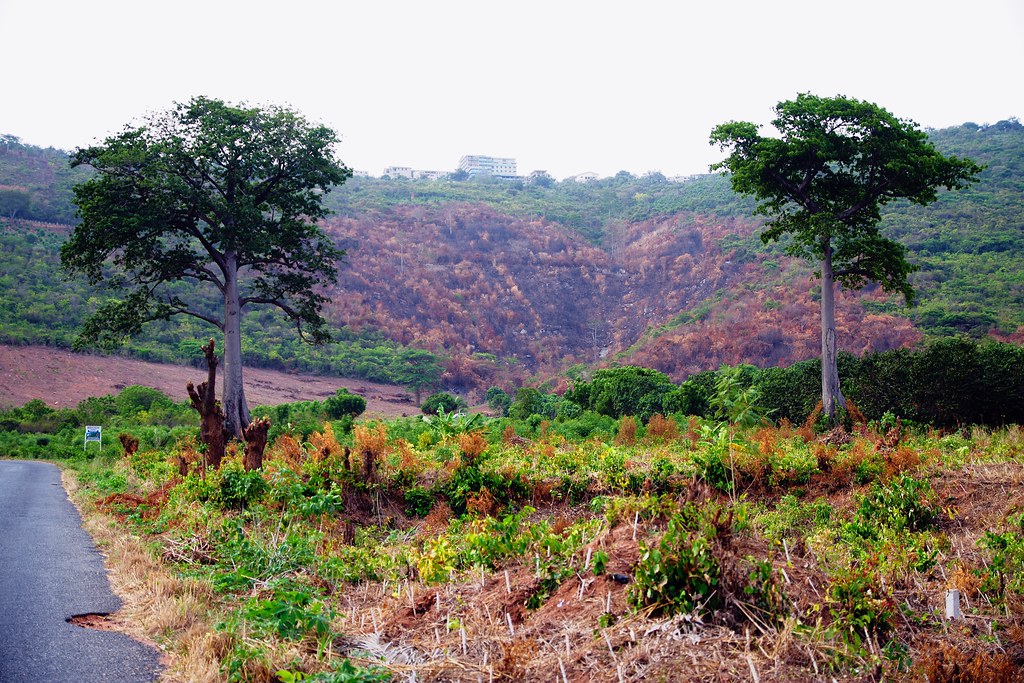
View on hills around Accra

Aburi mountains

Yellow Throated Longclaw

Aburi Akropong Bike Ride
Topographic Map of Aburi, Ghana
Find elevation by address:

Places near Aburi, Ghana:
Obosomase
Akuapem Mampong, Eastern
Ayi Mensah Park
Akuapim North
Amrahia
Oyarifa
Adenta Municipality
Adenta Barrier Bus Stop
Ga East
Madina
Nmai Dzorn Adjiringano Road
Little Legon
Ofankor
Ashaiman
Taifa
East Legon
Spintex Road
Okpoi Gonno
Mile 7 Post Office
You
Recent Searches:
- Elevation of Kreuzburger Weg 13, Düsseldorf, Germany
- Elevation of Gateway Blvd SE, Canton, OH, USA
- Elevation of East W.T. Harris Boulevard, E W.T. Harris Blvd, Charlotte, NC, USA
- Elevation of West Sugar Creek, Charlotte, NC, USA
- Elevation of Wayland, NY, USA
- Elevation of Steadfast Ct, Daphne, AL, USA
- Elevation of Lagasgasan, X+CQH, Tiaong, Quezon, Philippines
- Elevation of Rojo Ct, Atascadero, CA, USA
- Elevation of Flagstaff Drive, Flagstaff Dr, North Carolina, USA
- Elevation of Avery Ln, Lakeland, FL, USA