Elevation of Absarokee, MT, USA
Location: United States > Montana > Stillwater County >
Longitude: -109.44294
Latitude: 45.5204982
Elevation: 1231m / 4039feet
Barometric Pressure: 87KPa
Elevation Map:
Satellite Map:
Related Photos:
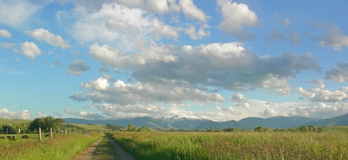
Big Sky Country... Leaving Daniel Angus Ranch... heading for the Absaroka Mountains...
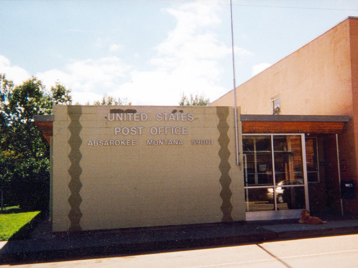
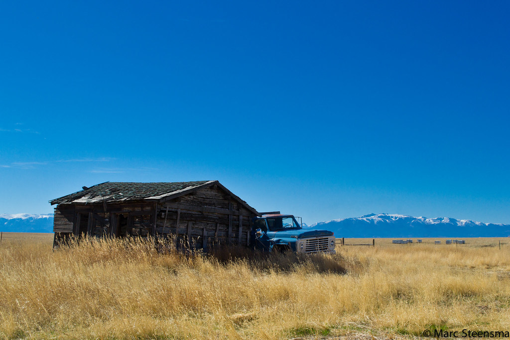
Absarokee, Montana 59001
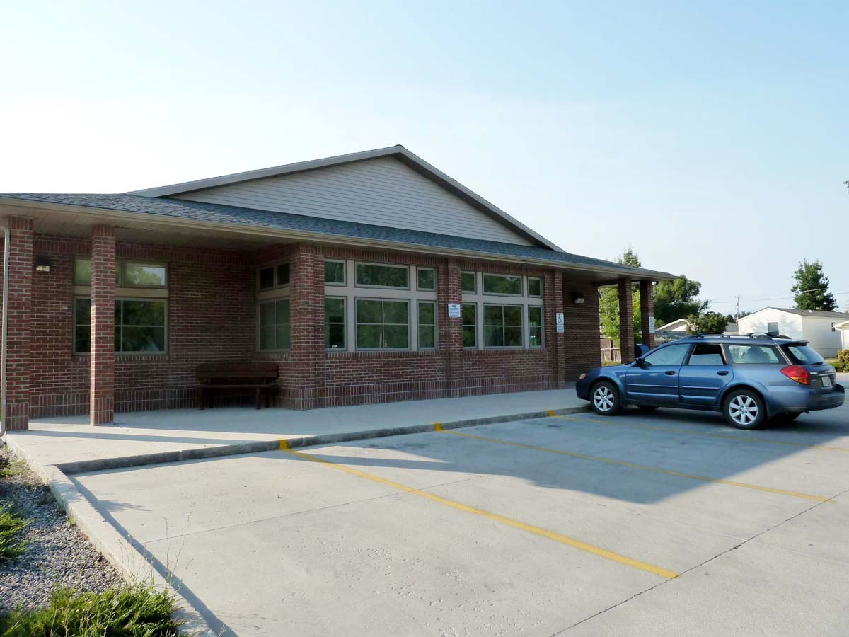
Absarokee, Montana 59001
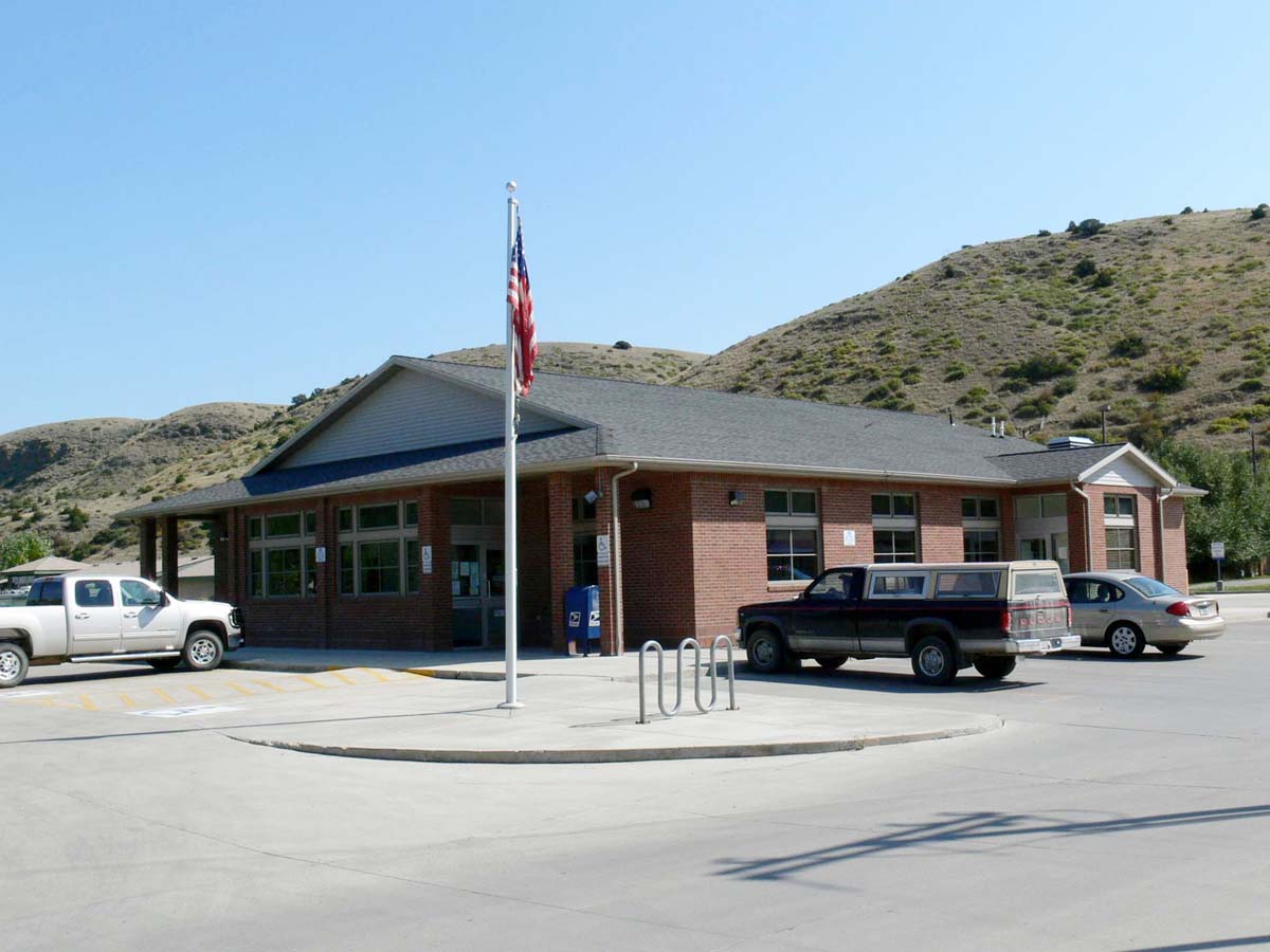
Absarokee, Montana 59001

Montana Grass
Vacation Home

Montana Sunrise
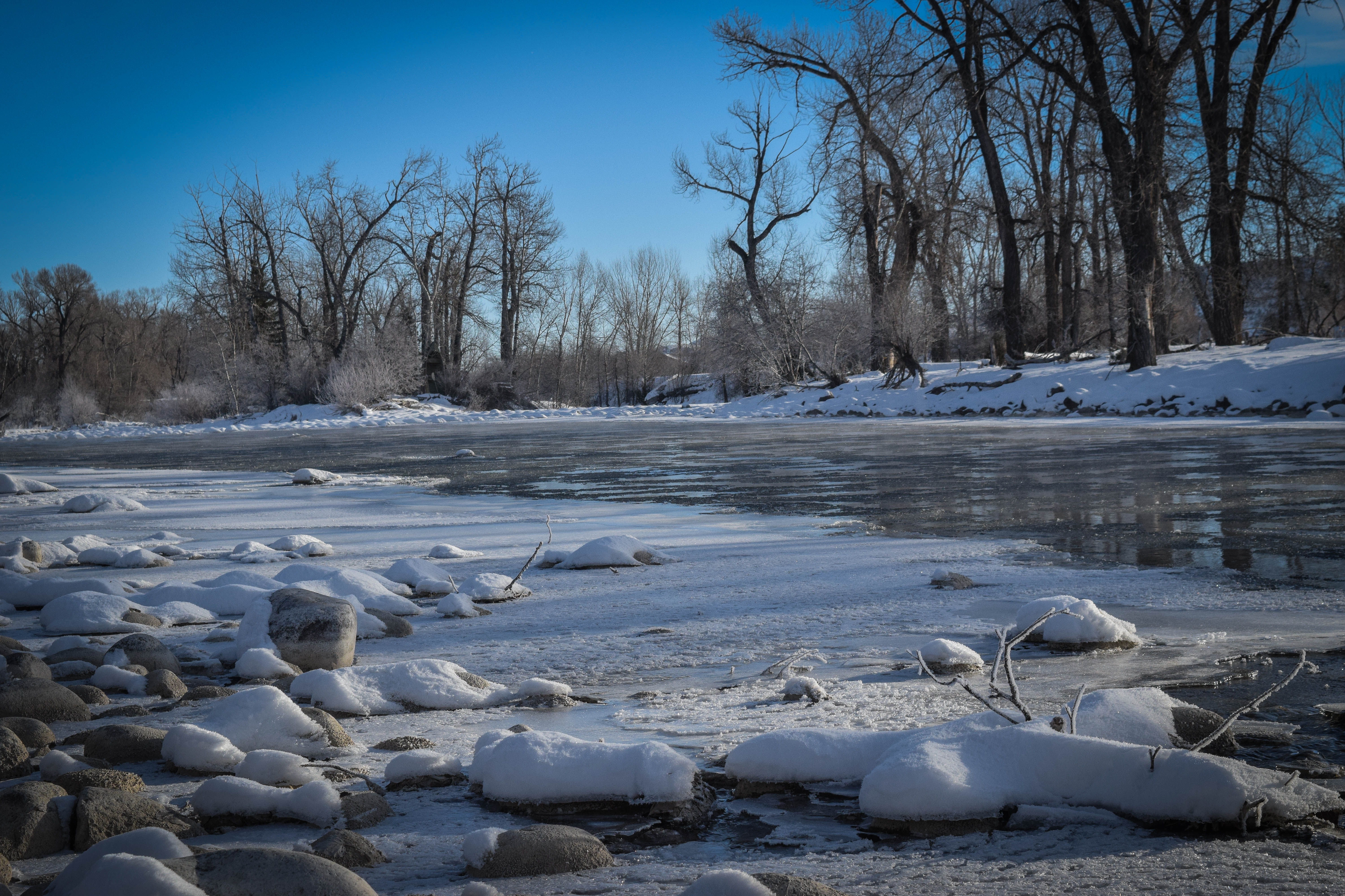
Frozen Stillwater River, Absarokee, Mt

Another Montana Sunset
Topographic Map of Absarokee, MT, USA
Find elevation by address:

Places near Absarokee, MT, USA:
Fishtail
193 Upper Hawk Valley Rd
MT-78, Roscoe, MT, USA
Roscoe
61 Balfour Loop Rd
Stillwater County
Columbus, MT, USA
50 Mystic View Rd
207 Election Rd
Reed Point
Itch-kep-pe Park
84 Beartooth Ln
274 Shane Ridge Rd
Columbus
5 Midnight Canyon Rd 5 Lot #5
1045 E 2nd Ave N
15 Getaway Trail
28 Lower Midnight Rd
28 S Yellowstone Stage Trail Rd
24 Mountain Vista Rd
Recent Searches:
- Elevation of Congressional Dr, Stevensville, MD, USA
- Elevation of Bellview Rd, McLean, VA, USA
- Elevation of Stage Island Rd, Chatham, MA, USA
- Elevation of Shibuya Scramble Crossing, 21 Udagawacho, Shibuya City, Tokyo -, Japan
- Elevation of Jadagoniai, Kaunas District Municipality, Lithuania
- Elevation of Pagonija rock, Kranto 7-oji g. 8"N, Kaunas, Lithuania
- Elevation of Co Rd 87, Jamestown, CO, USA
- Elevation of Tenjo, Cundinamarca, Colombia
- Elevation of Côte-des-Neiges, Montreal, QC H4A 3J6, Canada
- Elevation of Bobcat Dr, Helena, MT, USA