Elevation of Abrahams Bay, The Bahamas
Location: The Bahamas >
Longitude: -72.962112
Latitude: 22.3750399
Elevation: 8m / 26feet
Barometric Pressure: 101KPa
Elevation Map:
Satellite Map:
Related Photos:

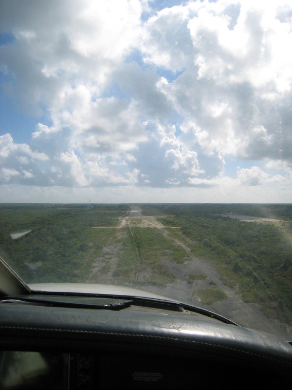
IMG_2278.JPG

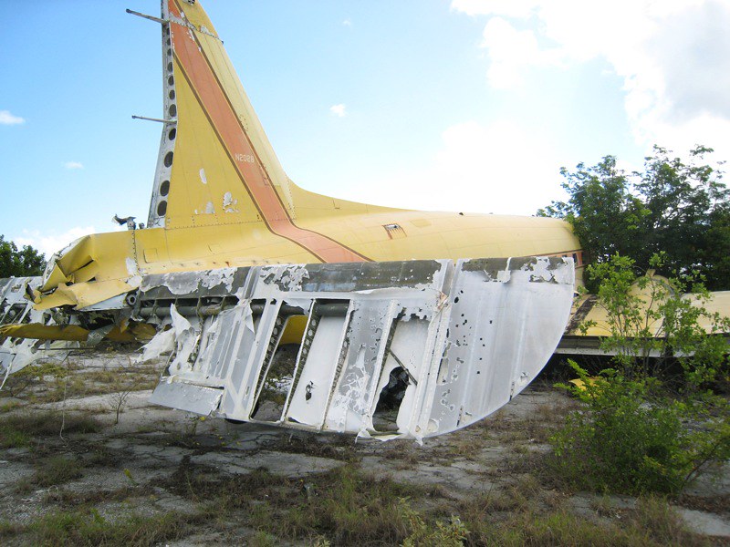
IMG_2157.JPG

IMG_2293.JPG

IMG_2168.JPG

IMG_2262.JPG

IMG_2229.JPG

Mayaguana - Bahamas

Killdeer 2.jpg

IMG_2037.JPG

IMG_2047.JPG
IMG_2082.JPG

IMG_2093.JPG

IMG_2090.JPG

IMG_2099.JPG

IMG_2103.JPG
IMG_2108.JPG

IMG_2124.JPG

IMG_2127.JPG

IMG_2147.JPG

IMG_2173.JPG
IMG_2184.JPG
Topographic Map of Abrahams Bay, The Bahamas
Find elevation by address:

Places near Abrahams Bay, The Bahamas:
Providenciales
Blue Mountain Villa Tkca
Blue Hills
Da Conch Shack
Providenciales
Discovery Drive
Blue Mountain Water Company
Leeward Highway
Cooper Jack Bay Settlement
Beaches Turks & Caicos
Grace Bay
Pine Cay
Parrot Cay
North Caicos
North Caicos
Middle Caicos
Turks And Caicos Islands
Middle Caicos
Recent Searches:
- Elevation of Congressional Dr, Stevensville, MD, USA
- Elevation of Bellview Rd, McLean, VA, USA
- Elevation of Stage Island Rd, Chatham, MA, USA
- Elevation of Shibuya Scramble Crossing, 21 Udagawacho, Shibuya City, Tokyo -, Japan
- Elevation of Jadagoniai, Kaunas District Municipality, Lithuania
- Elevation of Pagonija rock, Kranto 7-oji g. 8"N, Kaunas, Lithuania
- Elevation of Co Rd 87, Jamestown, CO, USA
- Elevation of Tenjo, Cundinamarca, Colombia
- Elevation of Côte-des-Neiges, Montreal, QC H4A 3J6, Canada
- Elevation of Bobcat Dr, Helena, MT, USA