Elevation of Abiang, Atok, Benguet, Philippines
Location: Philippines > Cordillera Administrative Region > Benguet > Atok >
Longitude: 120.683333
Latitude: 16.583333
Elevation: 1162m / 3812feet
Barometric Pressure: 88KPa
Elevation Map:
Satellite Map:
Related Photos:
Mt Pulag with Peak Pursuits PH
Mt Pulag with Peak Pursuits PH
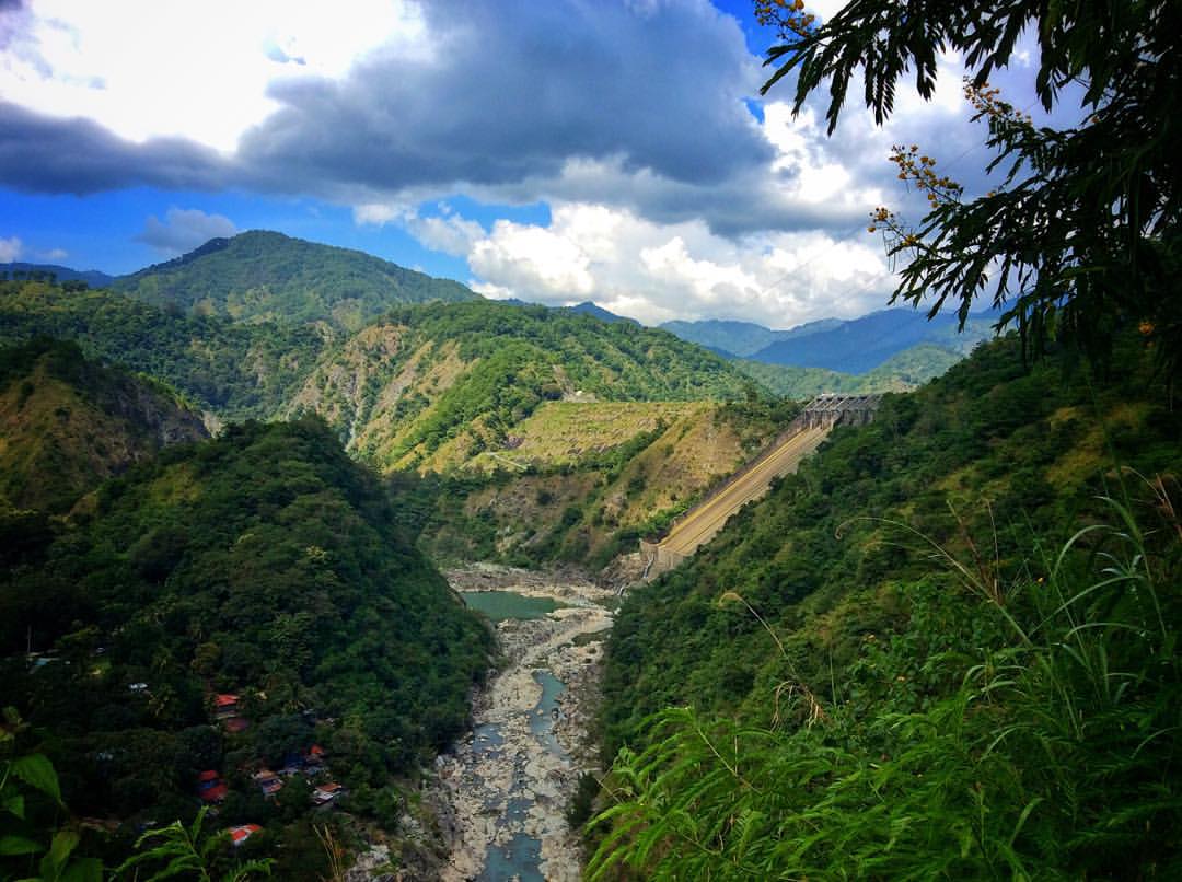
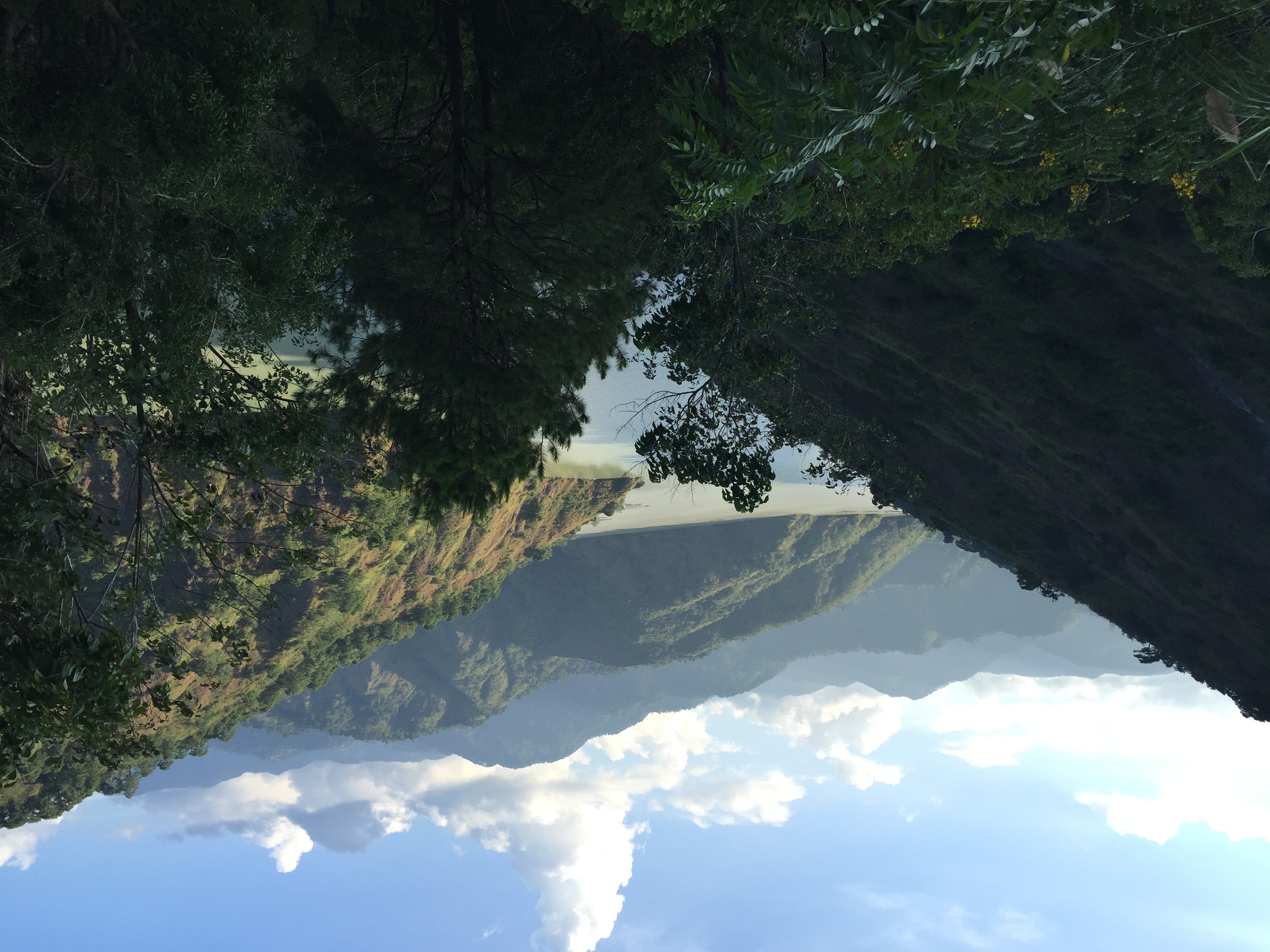
A clear #view of #AmbuklaoDam in #Bokod. from #roadside. #Dam #water #watersource #powerplant #hydroelectric #Scenery #mountain #Ambuklao #Travel #Travelling #VisitPhilippines #viewdeck #PlacesToGo #iPadPhotography #iPadOnly #GirlandBoyThing #GirlandBoy
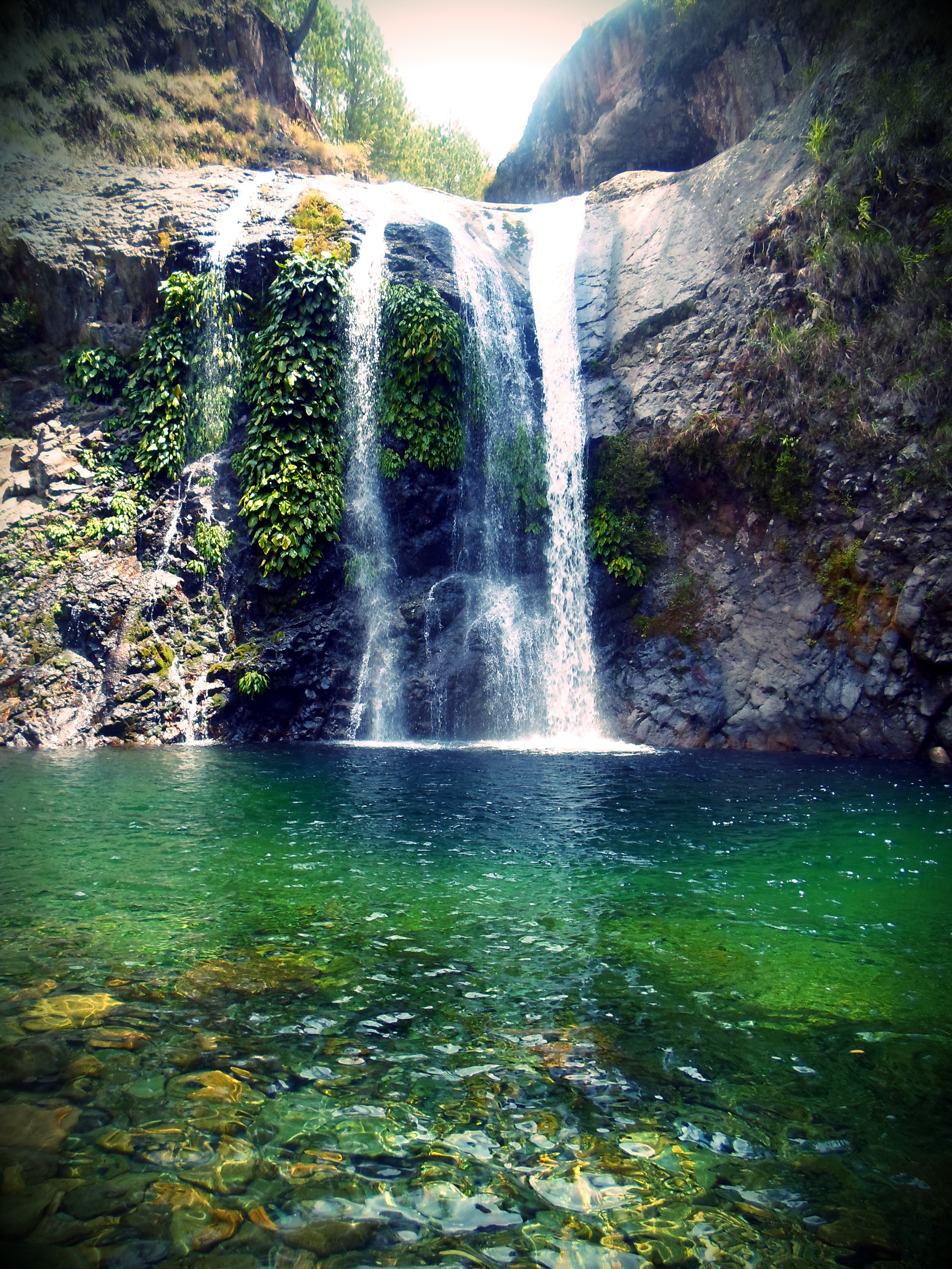
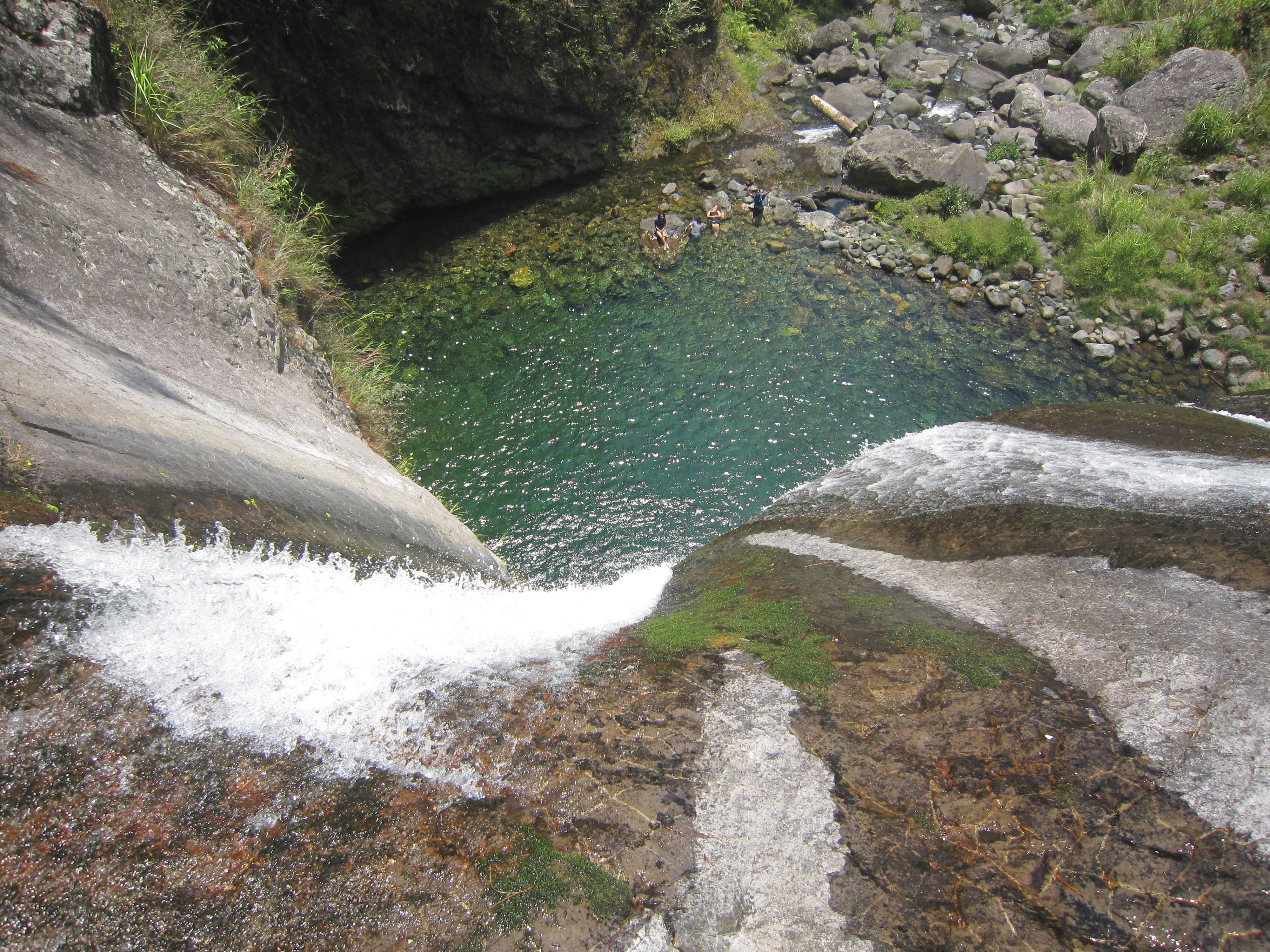
Bomayeng Falls
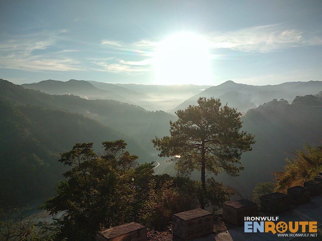
Behold the view from Topload adventure. #mtpulag #tnc #restandrecreation #teambuilding #teammicro #100for2014
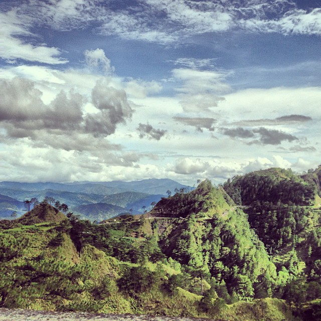
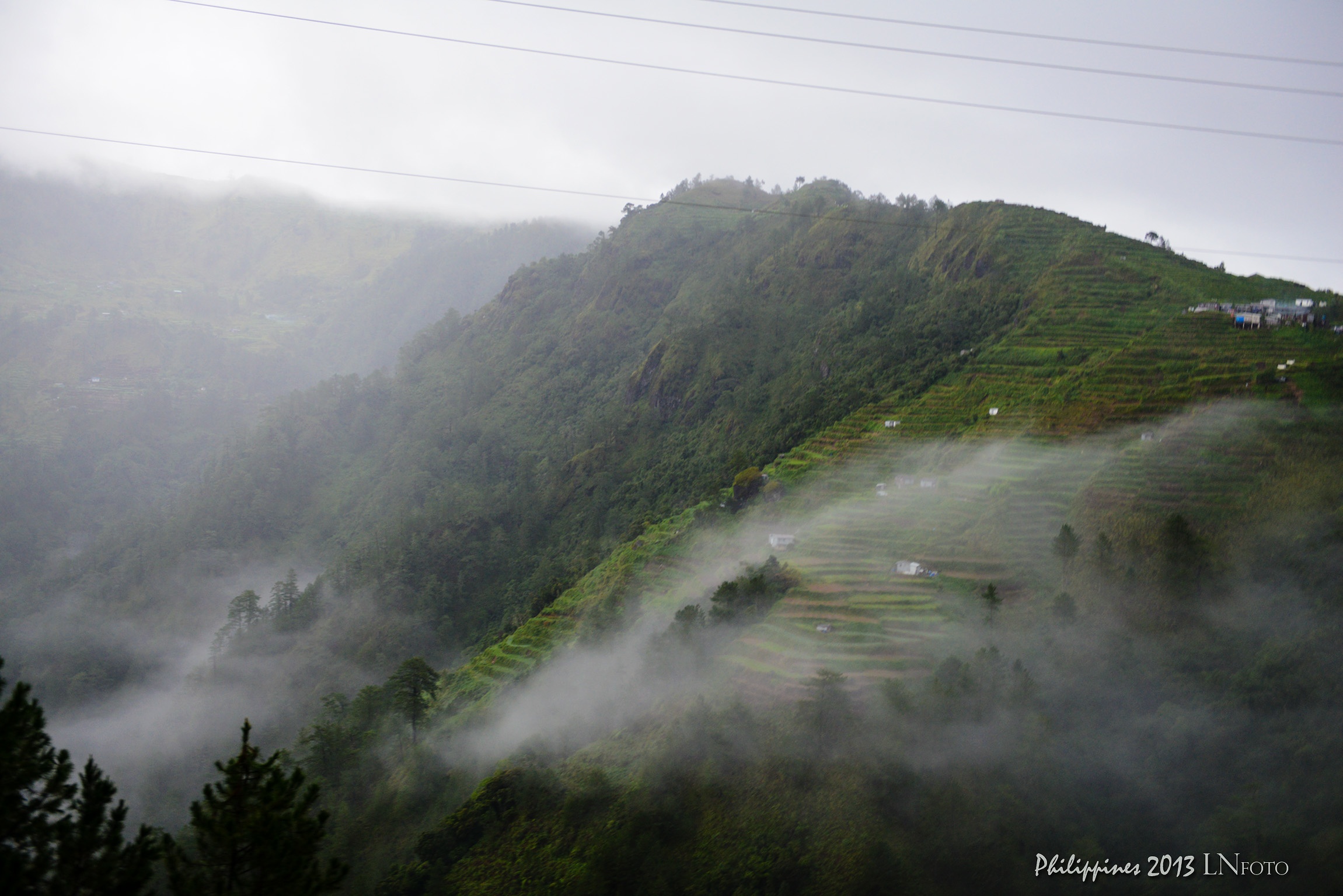
filippine cordillera luzon
filippine cordillera luzon
Halsema Highway #halsema #halsemahighway #highway #cordillera...
Take the Leap
Ruộng bậc thang trong mây (chụp khi xe đang chạy)
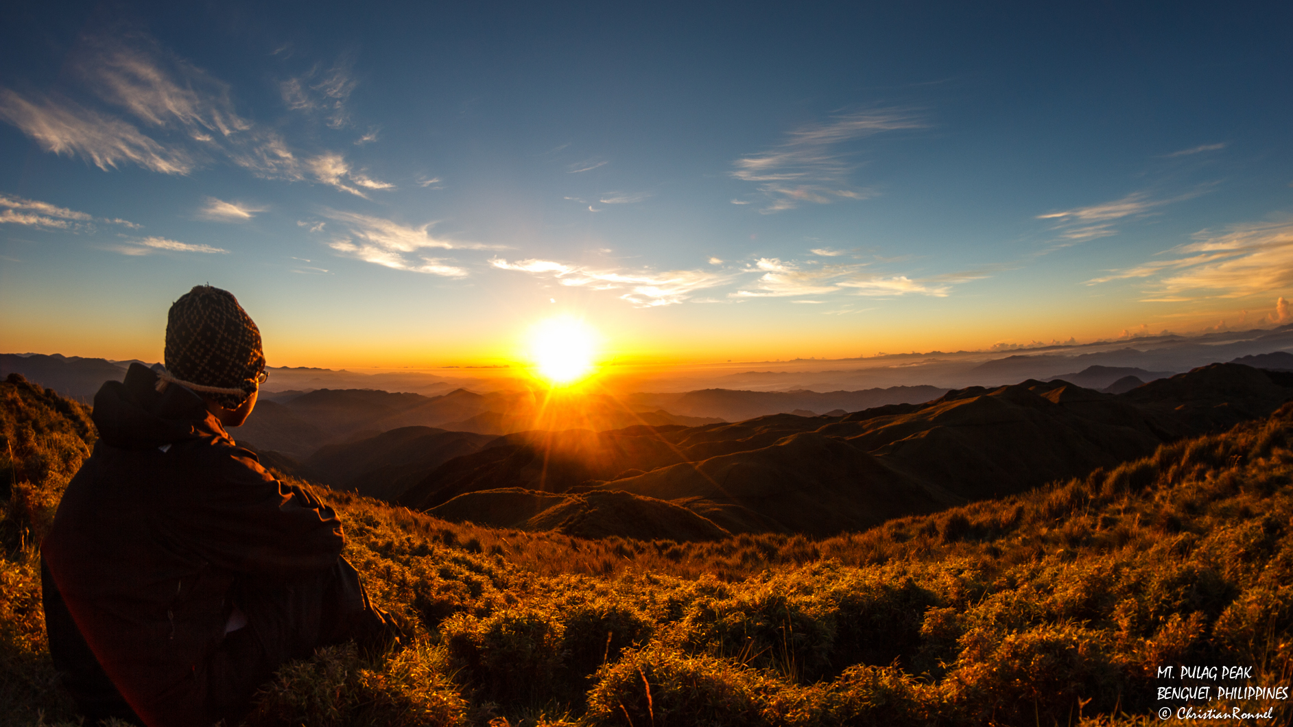
staring at the sun
The Philippines
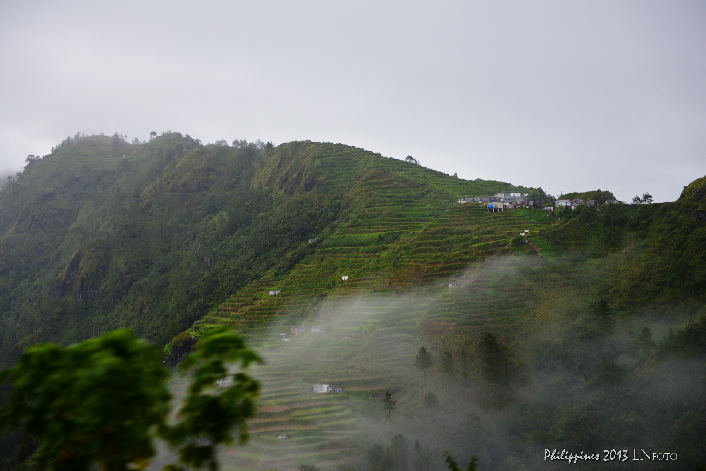
Ruộng bậc thang trong mây (chụp khi xe đang chạy)

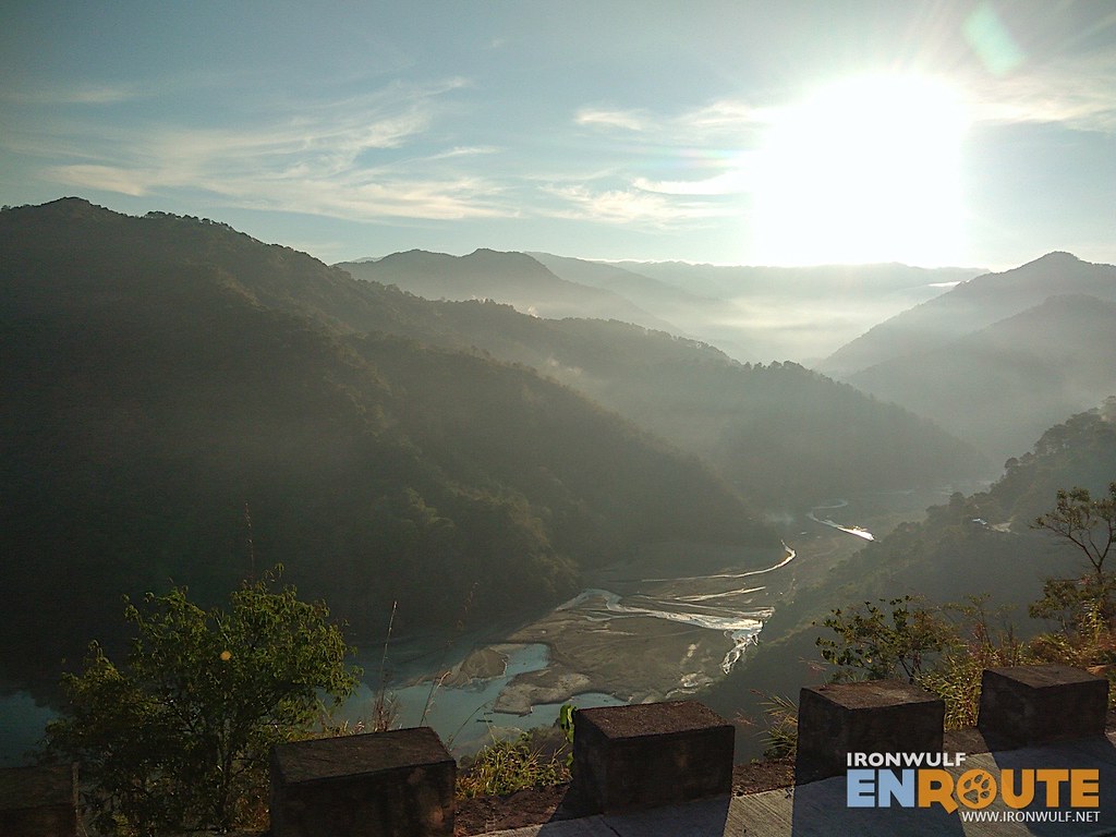
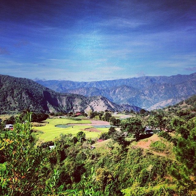
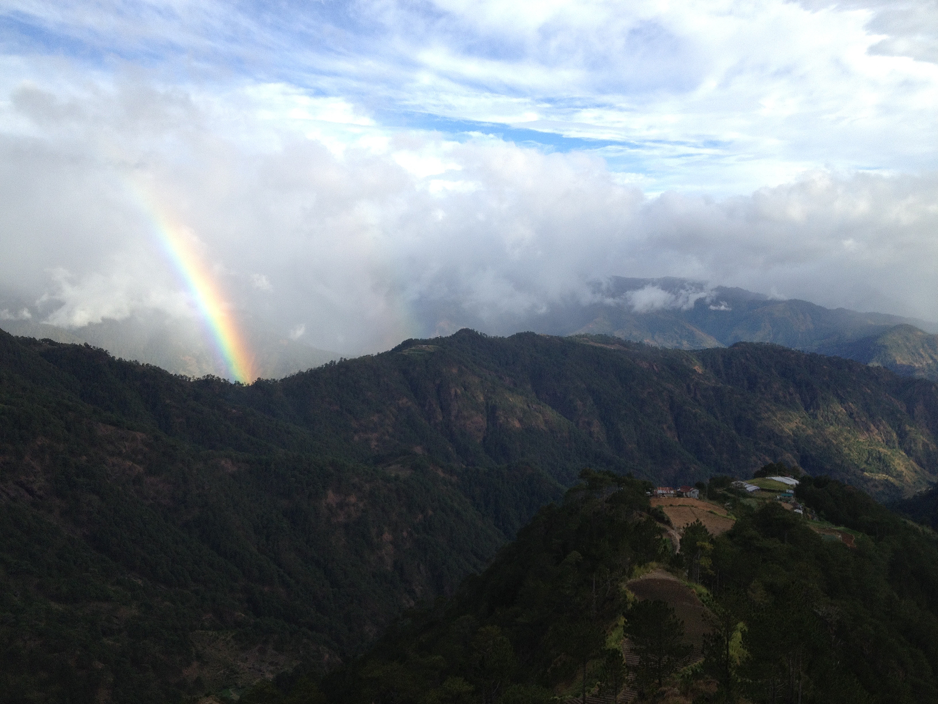
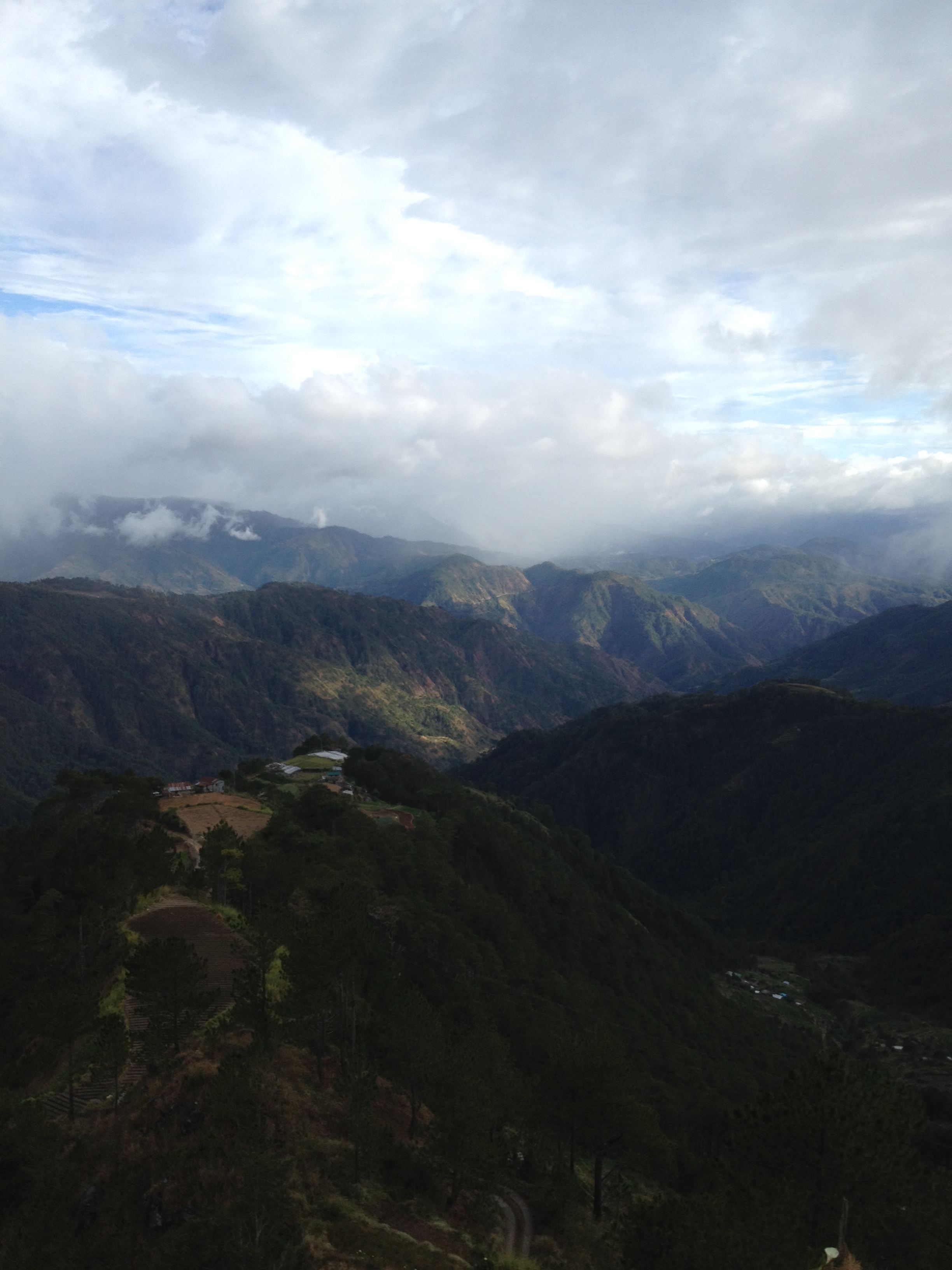
My first mountain trekking adventure. The scenes at the summit are unbelievably majestic.
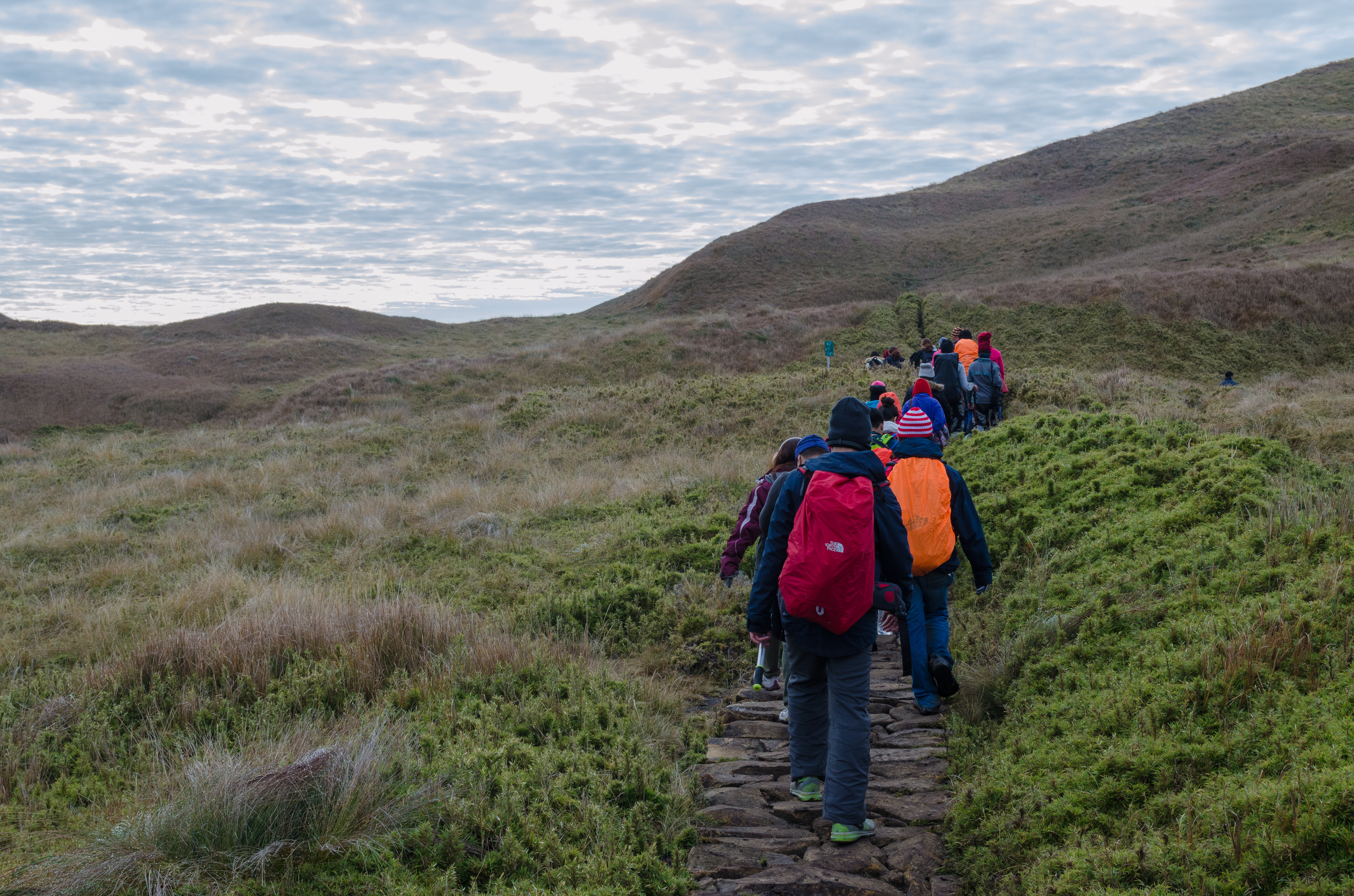
My first mountain trekking adventure. The scenes at the summit are unbelievably majestic.
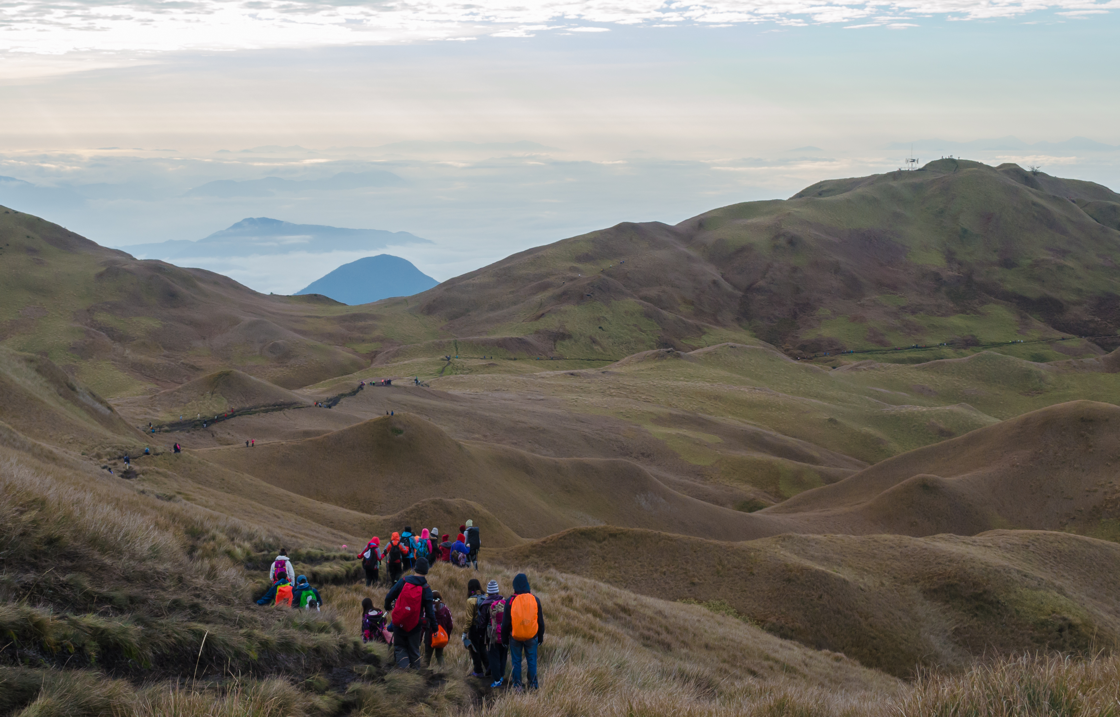
My first mountain trekking adventure. The scenes at the summit are unbelievably majestic.
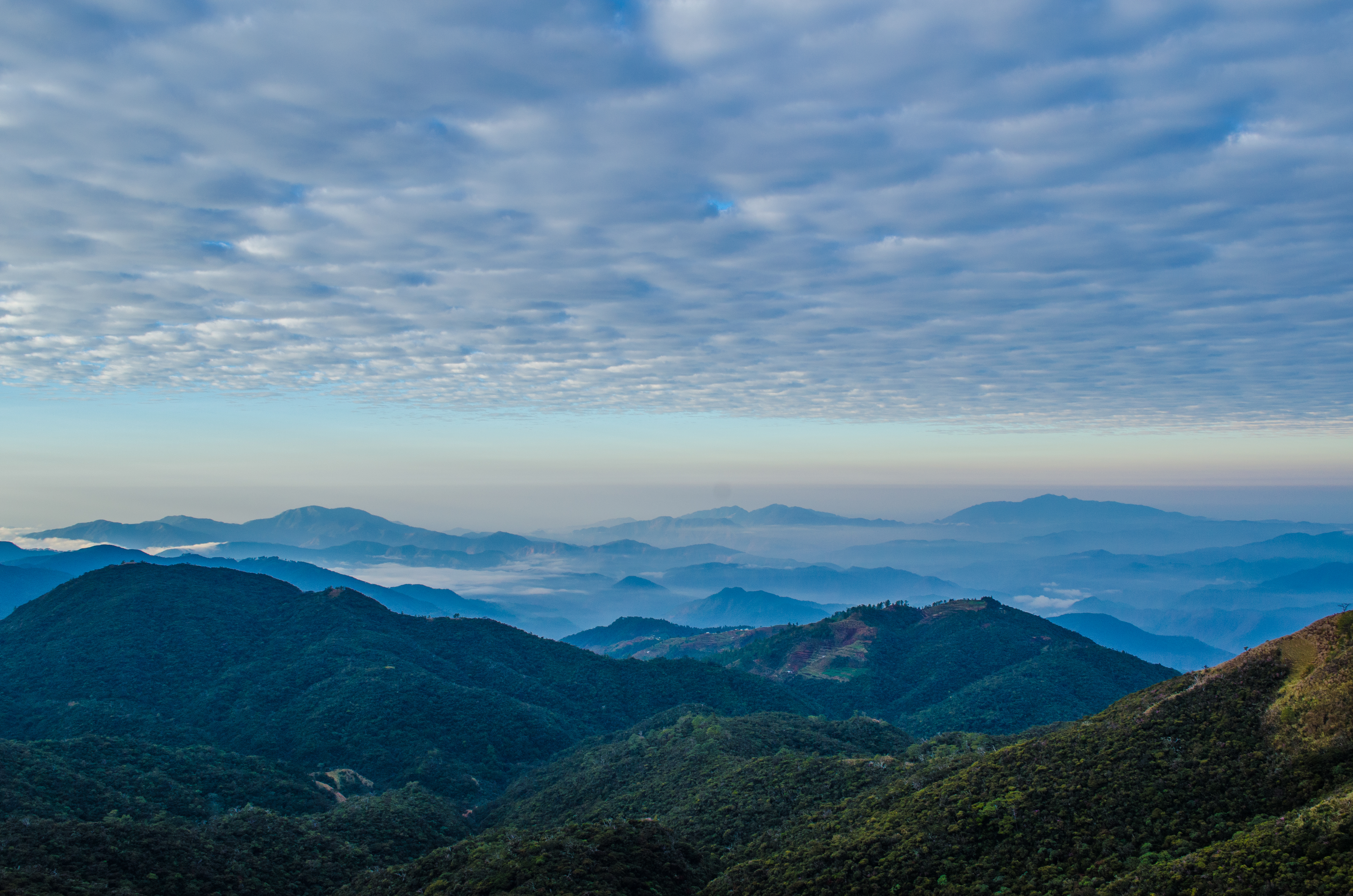
My first mountain trekking adventure. The scenes at the summit are unbelievably majestic.
Topographic Map of Abiang, Atok, Benguet, Philippines
Find elevation by address:

Places near Abiang, Atok, Benguet, Philippines:
Atok
Atok
Naguey
Mount Atok
Poblacion
Caliking
Guerilla Saddle
Acop - Kapangan - Kibungan - Bakun Road
Kapangan Municipal Hall
Tublay Central
Sagpat
Kapangan
Sayangan
Cattubo Bible Baptist Church
Kibungan
Badeo
Tuel
Highest Point: Philippine Highway System
Kibungan Municipal Hall
Poblacion
Recent Searches:
- Elevation of Bernina Dr, Lake Arrowhead, CA, USA
- Elevation of N 82nd Pl, Mesa, AZ, USA
- Elevation of Snake Hill Rd, North Scituate, RI, USA
- Elevation of Lake Shore Dr, Warwick, RI, USA
- Elevation of E Brightview Ave, Pittsburgh, PA, USA
- Elevation of Cavendish Rd, Harringay Ladder, London N4 1RR, UK
- Elevation of 1 Zion Park Blvd, Springdale, UT, USA
- Elevation of Ganderbal
- Elevation map of Konkan Division, Maharashtra, India
- Elevation of Netaji Nagar, Hallow Pul, Kurla, Mumbai, Maharashtra, India