Elevation of Aba, Nigeria
Location: Nigeria > Abia > Aba >
Longitude: 7.3732655
Latitude: 5.1215877
Elevation: 67m / 220feet
Barometric Pressure: 101KPa
Elevation Map:
Satellite Map:
Related Photos:

Watch
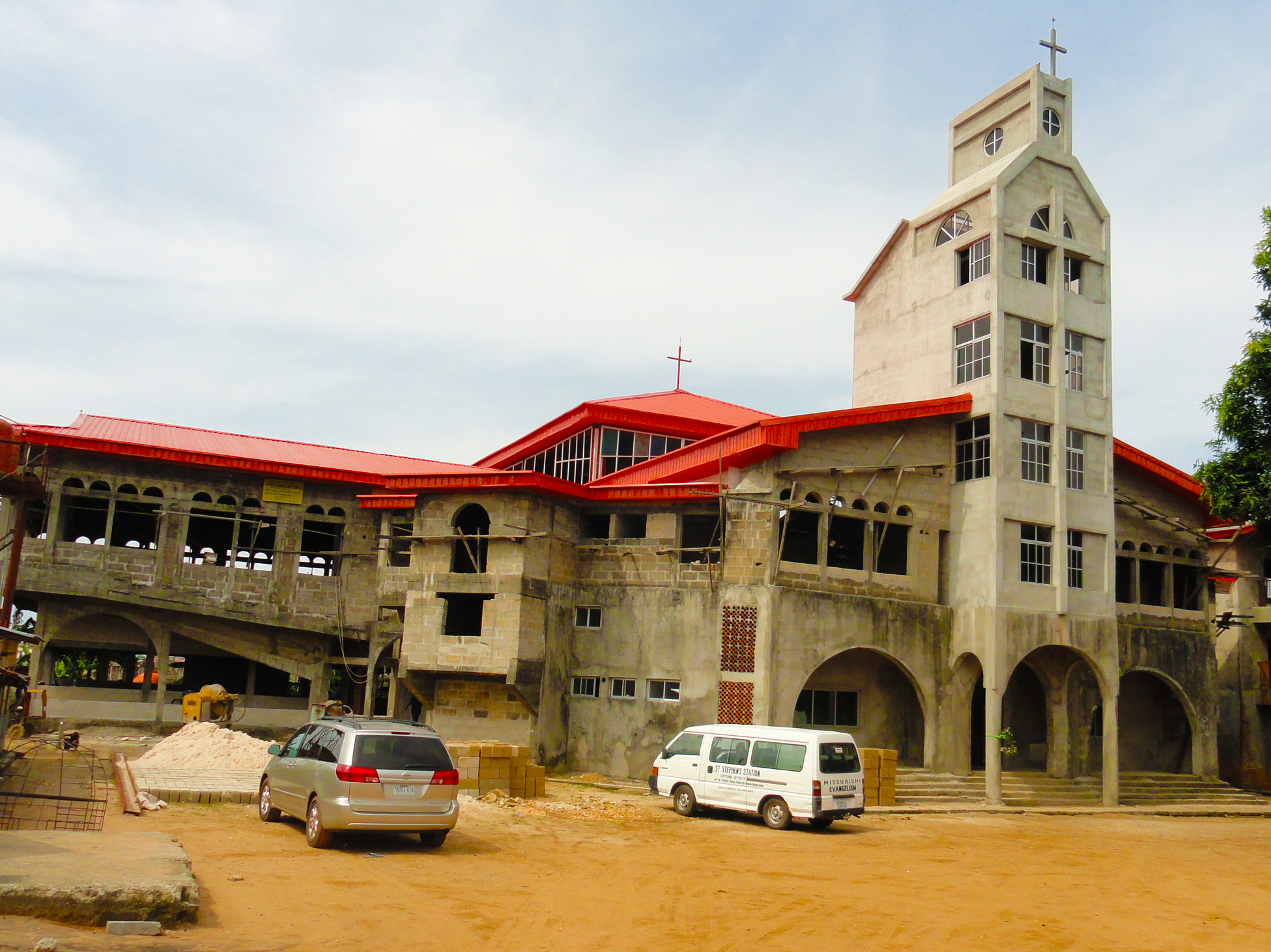
Naupan-Engineering-St-Pauls-Church-Building-Construction
Topographic Map of Aba, Nigeria
Find elevation by address:

Places in Aba, Nigeria:
Places near Aba, Nigeria:
Aba
Aba North
Abia State
Lion Head Avenue
Aba-owerri Road
Aba
Aboh-mbaise
Abia
Lagwa
Aboh Mbaise
Amakama
Umuahia South
Gulf Estate Road
Umuahia
Port Harcourt
Akwa Ibom
Uyo
Imo
Eastern Obolo V
Eastern Obolo
Recent Searches:
- Elevation of 62 Abbey St, Marshfield, MA, USA
- Elevation of Fernwood, Bradenton, FL, USA
- Elevation of Felindre, Swansea SA5 7LU, UK
- Elevation of Leyte Industrial Development Estate, Isabel, Leyte, Philippines
- Elevation of W Granada St, Tampa, FL, USA
- Elevation of Pykes Down, Ivybridge PL21 0BY, UK
- Elevation of Jalan Senandin, Lutong, Miri, Sarawak, Malaysia
- Elevation of Bilohirs'k
- Elevation of 30 Oak Lawn Dr, Barkhamsted, CT, USA
- Elevation of Luther Road, Luther Rd, Auburn, CA, USA