Elevation of Ab Kettleby, Melton Mowbray LE14, UK

Location: United Kingdom > Leicestershire >

Longitude: -0.9280128

Latitude: 52.8000448

Elevation: 145m / 476feet

Barometric Pressure: 100KPa

Elevation Map:

elevation map of Ab Kettleby, Melton Mowbray LE14, UK

Satellite Map:

Satellite map of Ab Kettleby, Melton Mowbray LE14, UK

Related Photos:

macro damselfly odonata zygoptera azuredamselfly coenagrionpuella focusstack meltonmowbray mpe65mm 580exiispeedlite canon5dmkii zerenestacker edwardnurcombe eddiethebugman
~Eye Contact~
autumn leaves reflections leicestershire belvoir
Leaves & Trees (Best Viewed Large)
blue sky weather geotagged fair cumulus standard nottinghamshire hawthorn hickling purefinder wilsonaxpe geo:lat=52845673 geo:lon=0990956
Scott in the sky with two trees, on Hickling Standard
macro damselfly odonata zygoptera azuredamselfly coenagrionpuella focusstack meltonmowbray mpe65mm 580exiispeedlite canon5dmkii zerenestacker edwardnurcombe eddiethebugman
~The Lone Ranger~
blue party macro damselfly odonata zygoptera azuredamselfly coenagrionpuella focusstack meltonmowbray mpe65mm 580exiispeedlite canon5dmkii zerenestacker edwardnurcombe eddiethebugman
~Out Of The Blue~
macro damselfly odonata zygoptera azuredamselfly coenagrionpuella focusstack meltonmowbray mpe65mm 580exiispeedlite canon5dmkii zerenestacker edwardnurcombe eddiethebugman
~Blue Monday~
placesofworship hdr stmarys topaz meltonmowbray churchinteriors housesofworship stmarysmeltonmowbray
St Marys Melton Mowbray.
train class emu unit 387101
Enter the Class 387
blue party summer macro canon spring interesting azure explore damselfly odonata zygoptera azuredamselfly coenagrionpuella focusstack meltonmowbray mpe65mm innamoramento canon5dmkii canon430exii zerenestacker edwardnurcombe eddiethebugman
I See You
macro damselfly odonata zygoptera azuredamselfly coenagrionpuella focusstack meltonmowbray mpe65mm 580exiispeedlite canon5dmkii zerenestacker edwardnurcombe eddiethebugman
~Reminder Of A Great Summer~
My view right now.....also called went too sleep for two hours and now not tired..
sunset sun fence goldenhour belvoir grantham valeofbelvoir infinestyle itsmepete
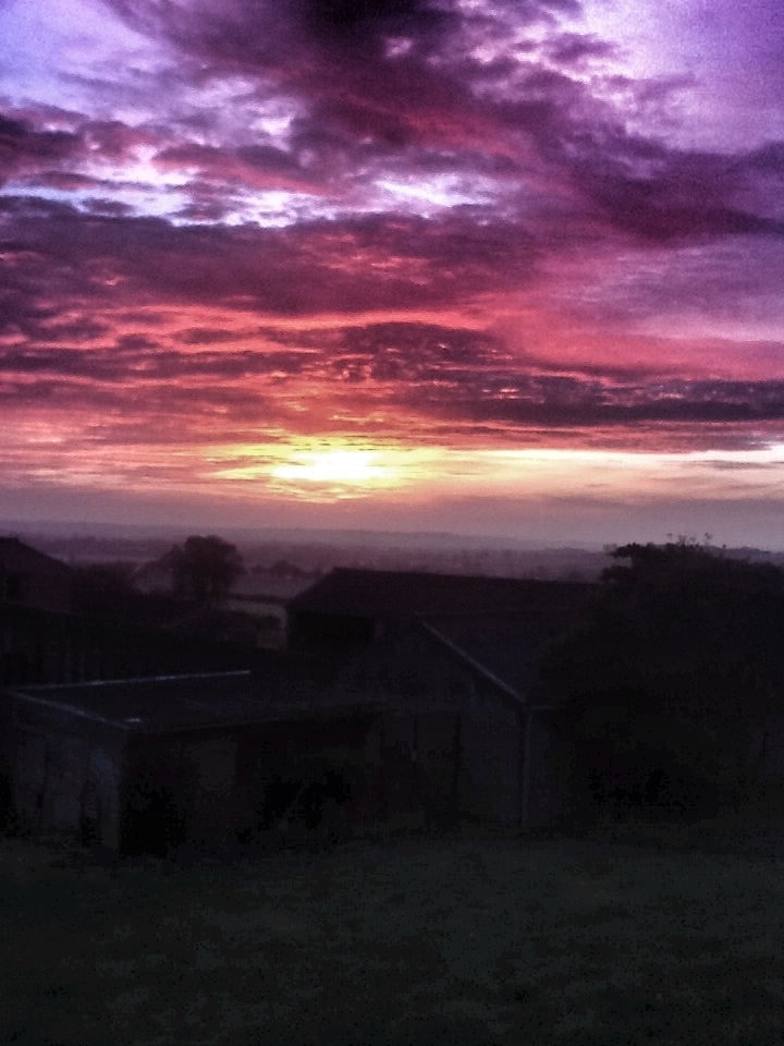
Sunset Across The Vale
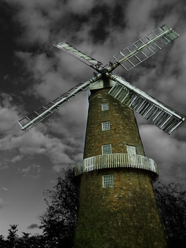
Whissendine Windmill
#Photoadaymay Where I stand....view from my kitchen
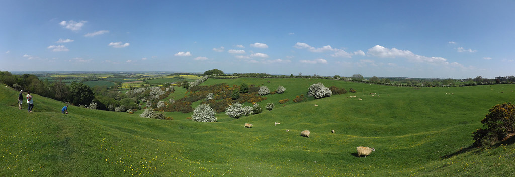
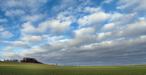
panorama iron leicestershire fort pano hill panoramic age burrough burroughhill ironagehillfort burroughhillisanironagehillfortinburroughonthehill 7miles11kmsouthofmeltonmowbrayintheenglishcountyofleicestershire
Burrough Hill View
A rainy Wednesday...my view.
orange sun water yellow sunrise reflections river explore swans orangesunrise ysplix goldstaraward
Sunrise Swans
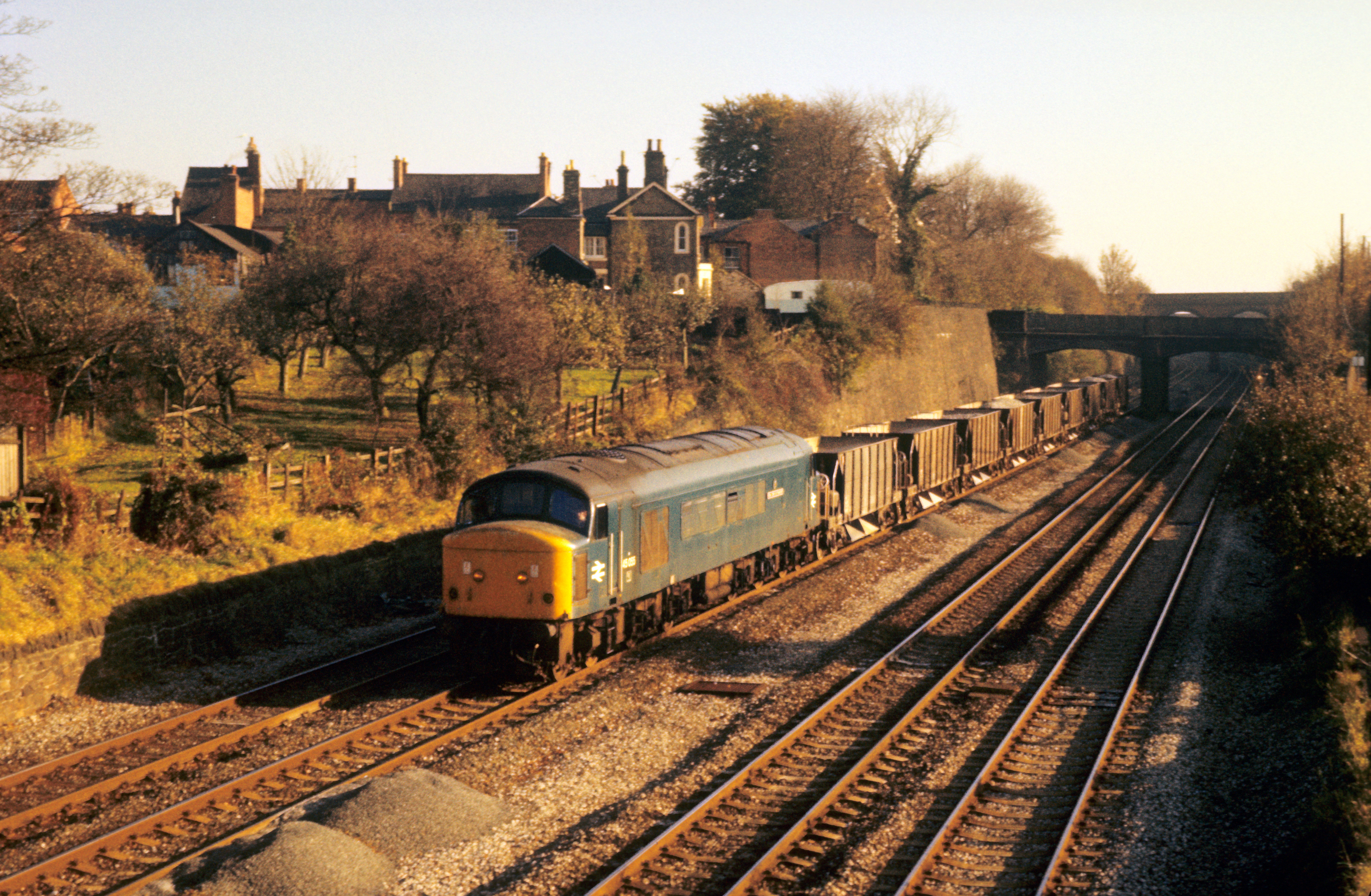
45055 Barrow upon Soar 12th November 1980
geotagged geo:lat=5272833 geo:lon=1125498
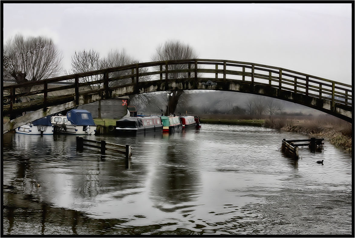
A dull day on the canal.
church saint parish architecture rural leicestershire medieval peter nave anglican redmile
Redmile, Leicestershire
square squareformat normal iphoneography instagramapp uploaded:by=instagram
Amazing view over the Vale of Belvior.
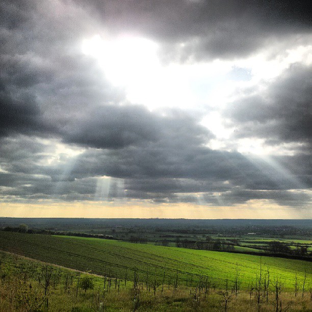
england colour tree art yellow clouds landscape nottinghamshire colorphotoaward
Stormy Skies
#photoadaymay #Afavouriteplace....Bunny Wood Nottinghamshire
Love this sky tonight.
nottingham flowers summer england english yellow countryside wildflowers nottinghamshire naturescape
Summer flowers
photostream
This was taken this morning 23/09/11 on my iPad
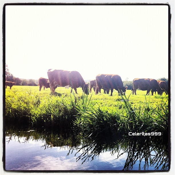
square lofi squareformat iphoneography instagramapp uploaded:by=instagram foursquare:venue=4e70b20ca8098087a0358cb7
#cows #moo #moomoo
sunset england horses unitedkingdom gb dac meltonmowbray armyhorses horseatgrass horsesatgrass
_MG_0051.jpg
england lake clouds reflections evening europe day cloudy leicestershire unitedkingdom national grantham belvoircastle caravanclub
Wedding Venue
sunset england horses unitedkingdom gb dac meltonmowbray armyhorses horseatgrass horsesatgrass
_MG_0134.jpg
I93A2166.jpg
square lofi squareformat iphoneography instagramapp uploaded:by=instagram
That yellow stuff that's in fields around these parts and time!
Burrough Hill
nottingham landscape geotagged nottinghamshire plumtree wolds tollerton clipston cotgrave normaton purefinder geo:lat=52897461 geo:lon=1068656
Hoe Hill, Between Normanton and Clipston (on the Wolds)
280915 083643.jpg
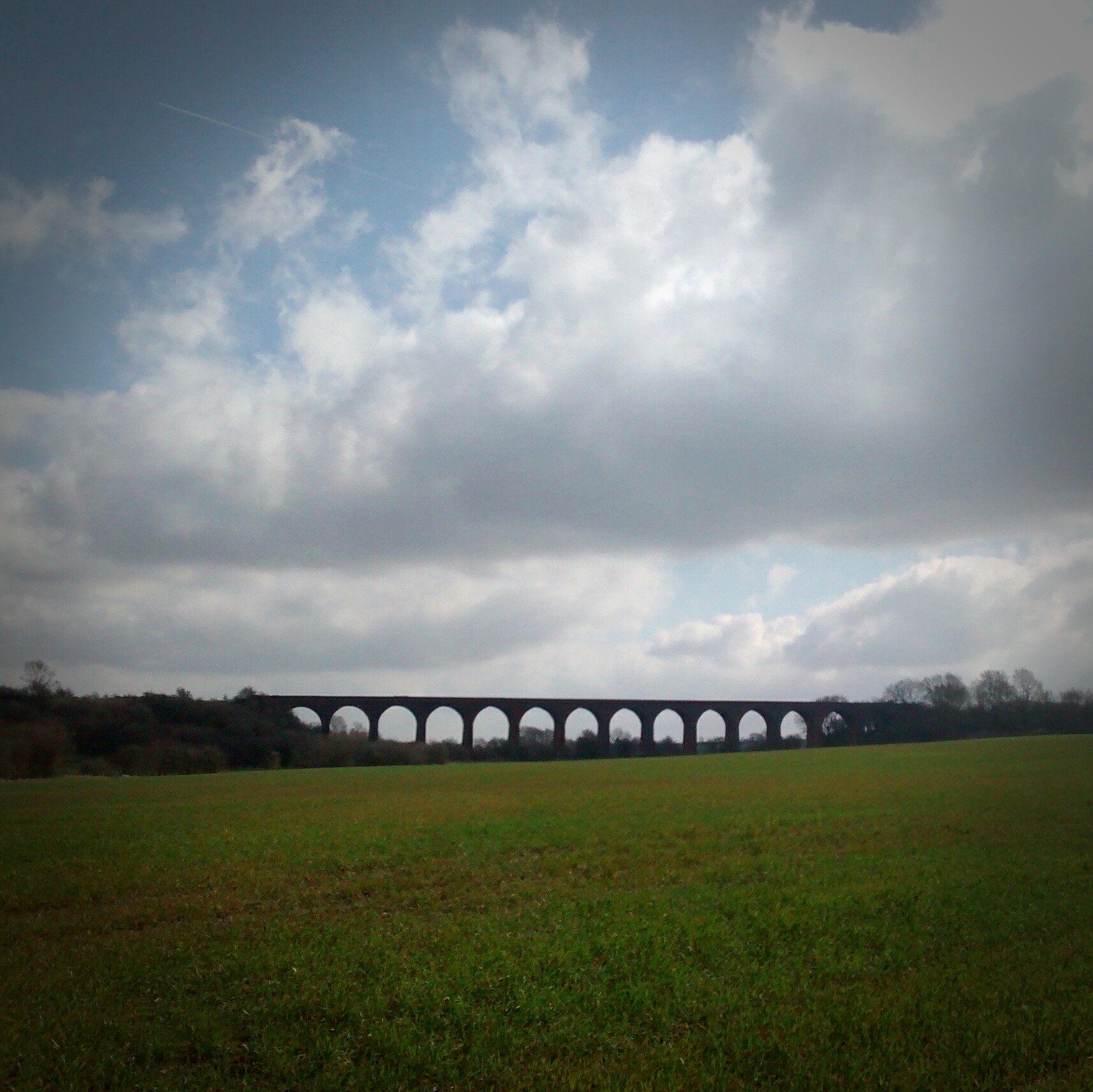
John O'Gaunt Viaduct
canon marco speedlight diffused springtail mpe65 collembola jonevans entomobryaintermedia eos7d 430exii
Spring Stack
blue trees sky tree green nature field leaves yellow landscape photography countryside nikon leicestershire branches seed rape east hedge crop lane brushes oil fields barrow loughborough soar upon midlands d3100
Barrow Lane
River Soar 2
greatbritain travel england tourism rural landscape countryside sheep leicestershire britain places explore pasture pastoral thingstodo grazing daytrip daysout destinations 2914 travelphotography oldoaks thingstosee placesofinterest explored woolthorpebybelvoir
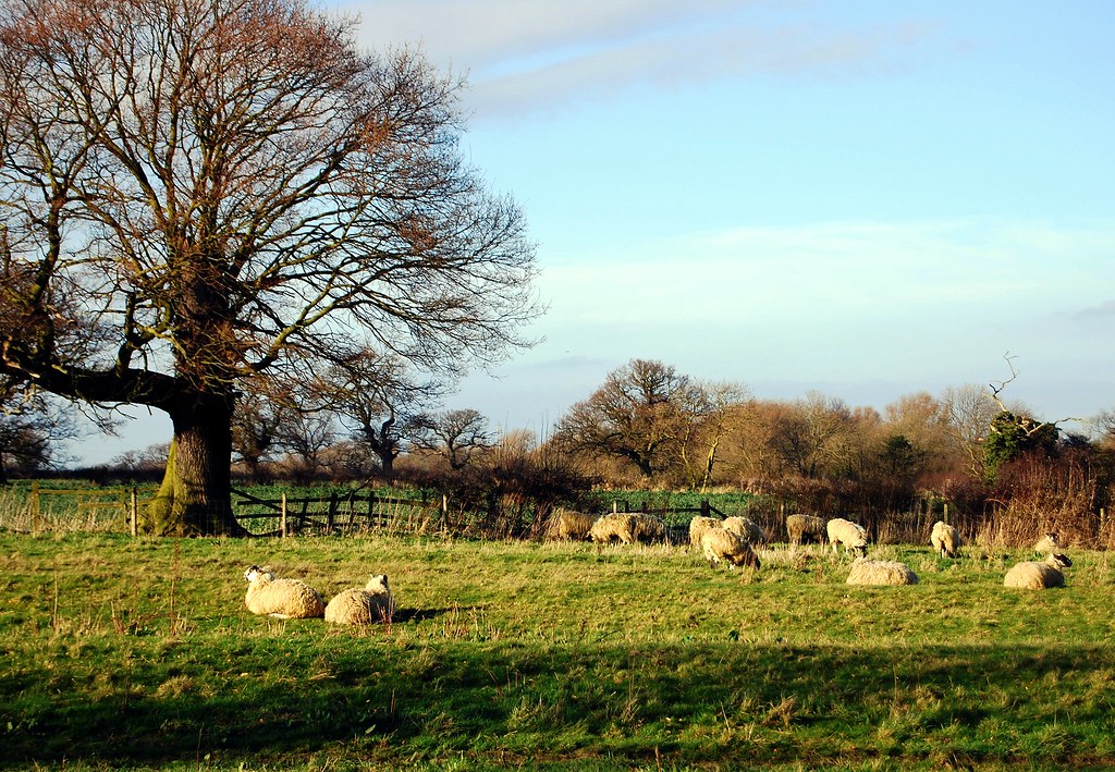
English Idyll (sheep may safely graze)