Elevation map of Ağrı, Turkey
Location: Turkey >
Longitude: 43.0215965
Latitude: 39.6269218
Elevation: 1669m / 5476feet
Barometric Pressure: 83KPa
Elevation Map:
Satellite Map:
Related Photos:

2017-07-14_03-59-41

#Ağrı #doğubeyazıt #ilyasuzun
Son günler.

Azul y verde (Turquía 08).
2017-07-14_04-02-57
2017-07-14_04-02-29

2017-07-14_04-01-52

2017-07-14_03-58-45

2017-07-14_03-56-48

2017-07-14_03-54-45
2017-07-14_03-52-52
2017-07-14_03-52-19

2017-07-14_03-51-42

2017-07-14_03-51-16
2017-07-14_03-50-46

2017-07-14_03-49-51

2017-07-14_03-44-05

2017-07-14_03-41-18

2017-07-14_03-40-16

ویدئو تایم لپس از آرارات یا همان آغریTimelapse From Ararat mountain#ararat #mountain #maku #dashmaku#تایم #لپس #آرارات #ماکو

#sabri #galatasaray #muslera #Sneijder #igersgs #igergs #morinho #realmadrid #ardaturan @ardaturan @galatasaray @1905galatasaray

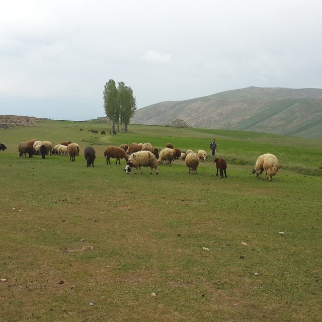
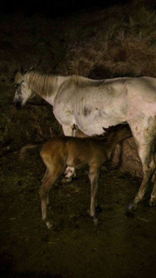
Kuzular doğa harika.

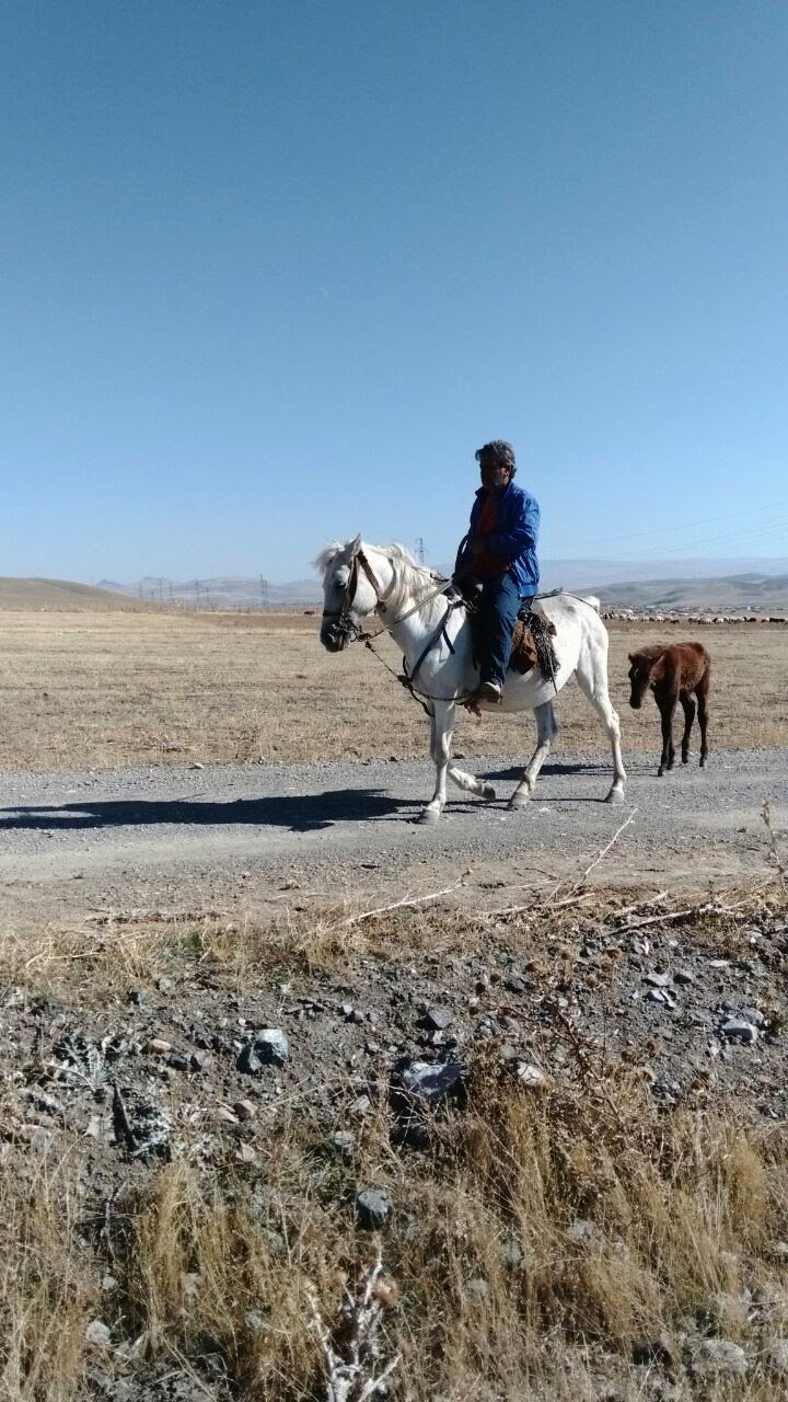
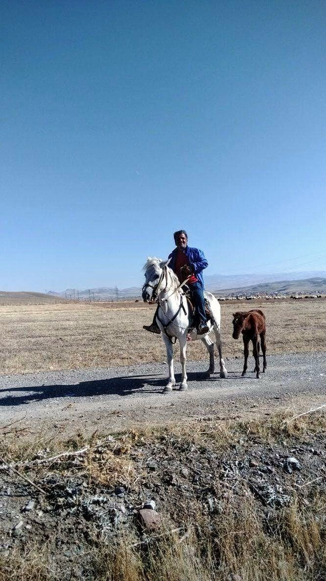
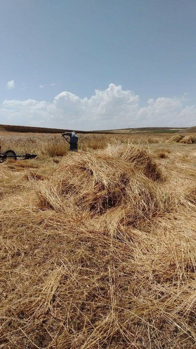
'Mother and child, small village by Agri, Turkey.' -- I was so struck by the beauty of this moment. The strength of the woman. I wish I could have stayed and gotten to speak with her beyond a few seconds. -- It was such an interesting place. The giant Agr
Topographic Map of Ağrı, Turkey
Find elevation by address:

Places in Ağrı, Turkey:
Places near Ağrı, Turkey:
Recent Searches:
- Elevation of Gateway Blvd SE, Canton, OH, USA
- Elevation of East W.T. Harris Boulevard, E W.T. Harris Blvd, Charlotte, NC, USA
- Elevation of West Sugar Creek, Charlotte, NC, USA
- Elevation of Wayland, NY, USA
- Elevation of Steadfast Ct, Daphne, AL, USA
- Elevation of Lagasgasan, X+CQH, Tiaong, Quezon, Philippines
- Elevation of Rojo Ct, Atascadero, CA, USA
- Elevation of Flagstaff Drive, Flagstaff Dr, North Carolina, USA
- Elevation of Avery Ln, Lakeland, FL, USA
- Elevation of Woolwine, VA, USA