Elevation of A Church Bank Store, Pleasant Plains, IL, USA
Location: United States > Illinois > Sangamon County > Cartwright Township > Pleasant Plains >
Longitude: -89.920829
Latitude: 39.8728396
Elevation: 186m / 610feet
Barometric Pressure: 99KPa
Elevation Map:
Satellite Map:
Related Photos:

Sunrise 1115a

IMG_4928 internet
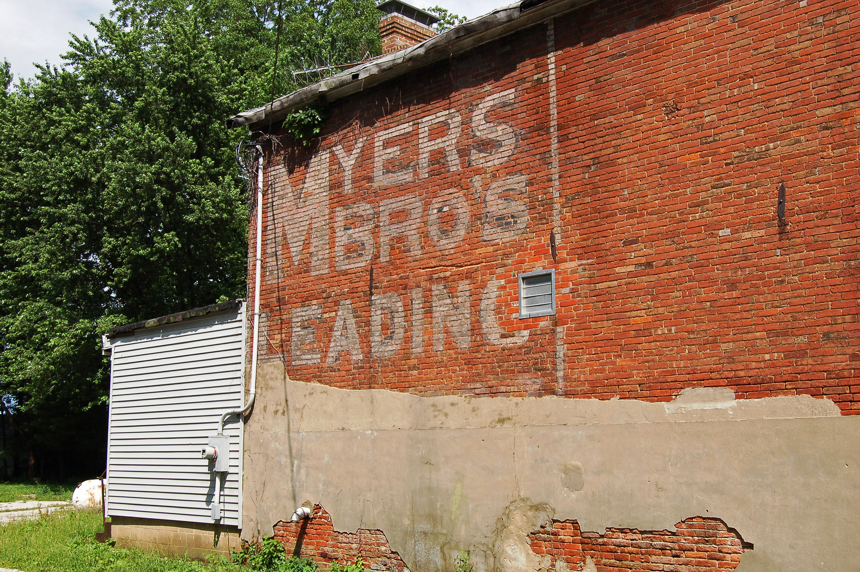
Illinois, Salisbury, Myers Bros. (16,424)

Mom's View

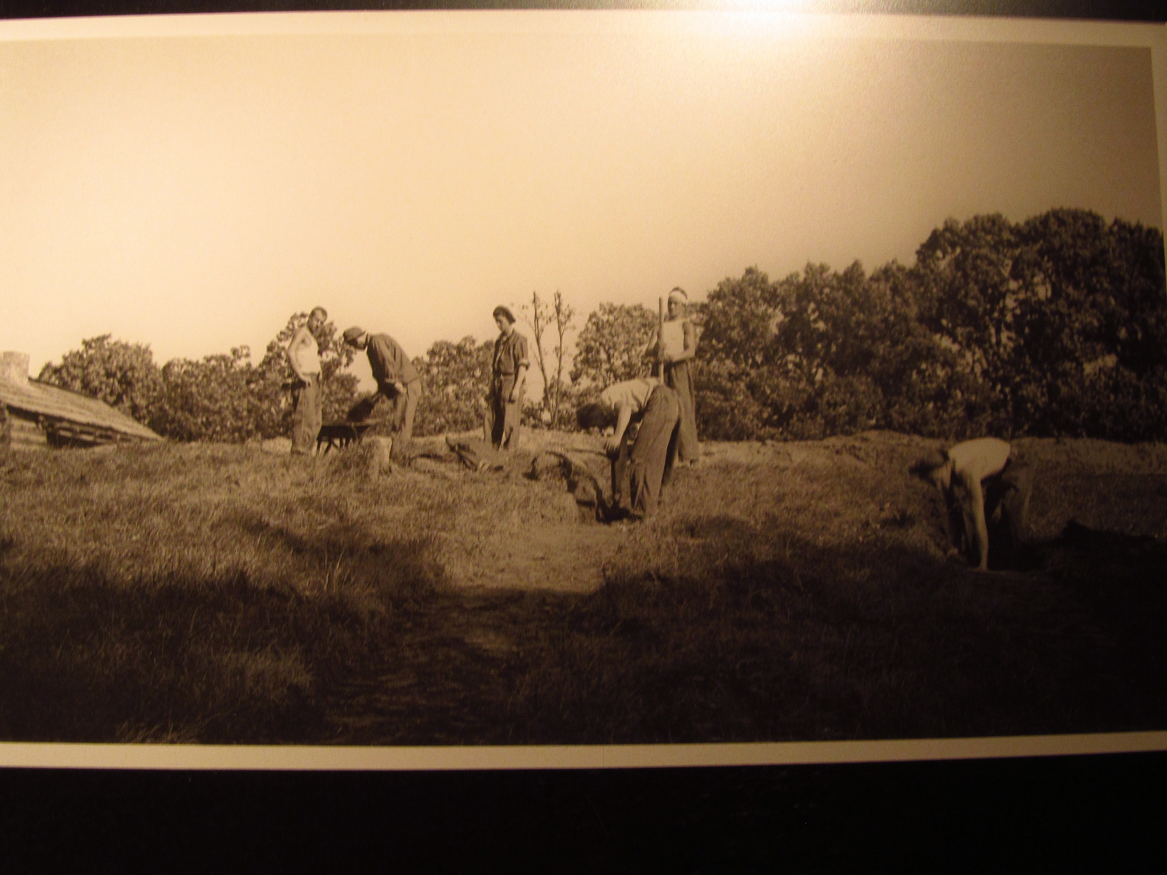
New Salem Historic Site

Wagon Tale

New Salem Historic Site

New Salem Historic Site

New Salem Historic Site

New Salem Historic Site

New Salem Historic Site

New Salem Historic Site

New Salem Historic Site

New Salem Historic Site

New Salem Historic Site

Birds Eye View 10092015
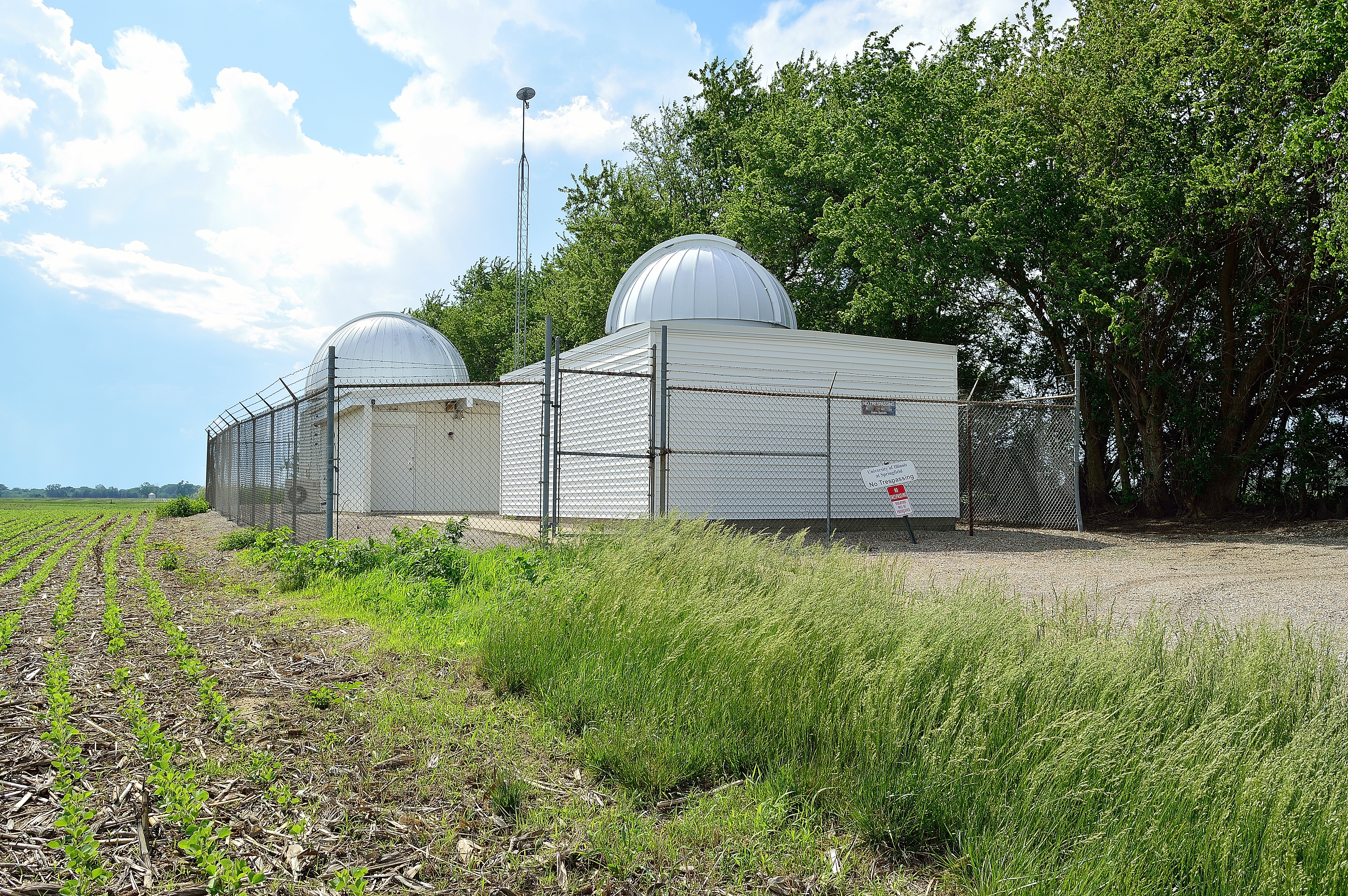
Obsevatories, U of I at Springfield

New Salem Historic Site

New Salem Historic Site

New Salem Historic Site

New Salem Historic Site
Rays of sunshine
... eye of the beholder.

Menard County Road
Pathway in the Park

quietly waiting...
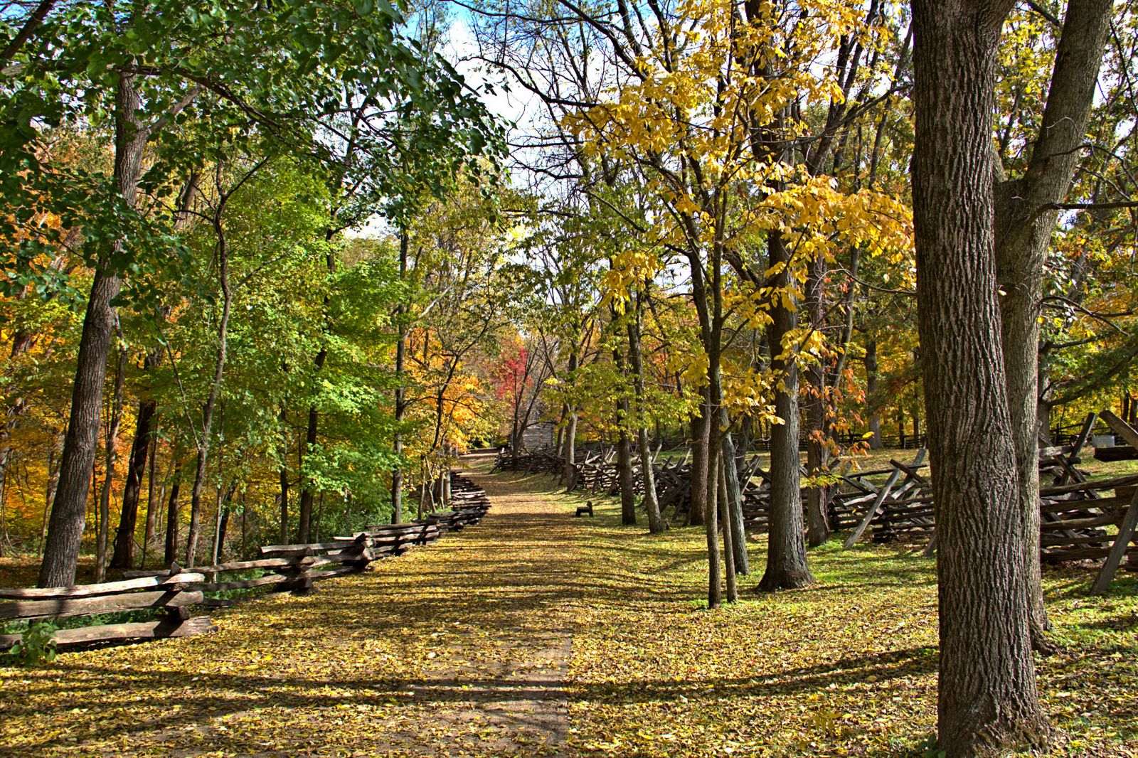
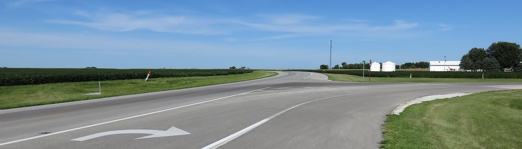
New Salem, Illinois

New Salem Fall Morning - Oddly
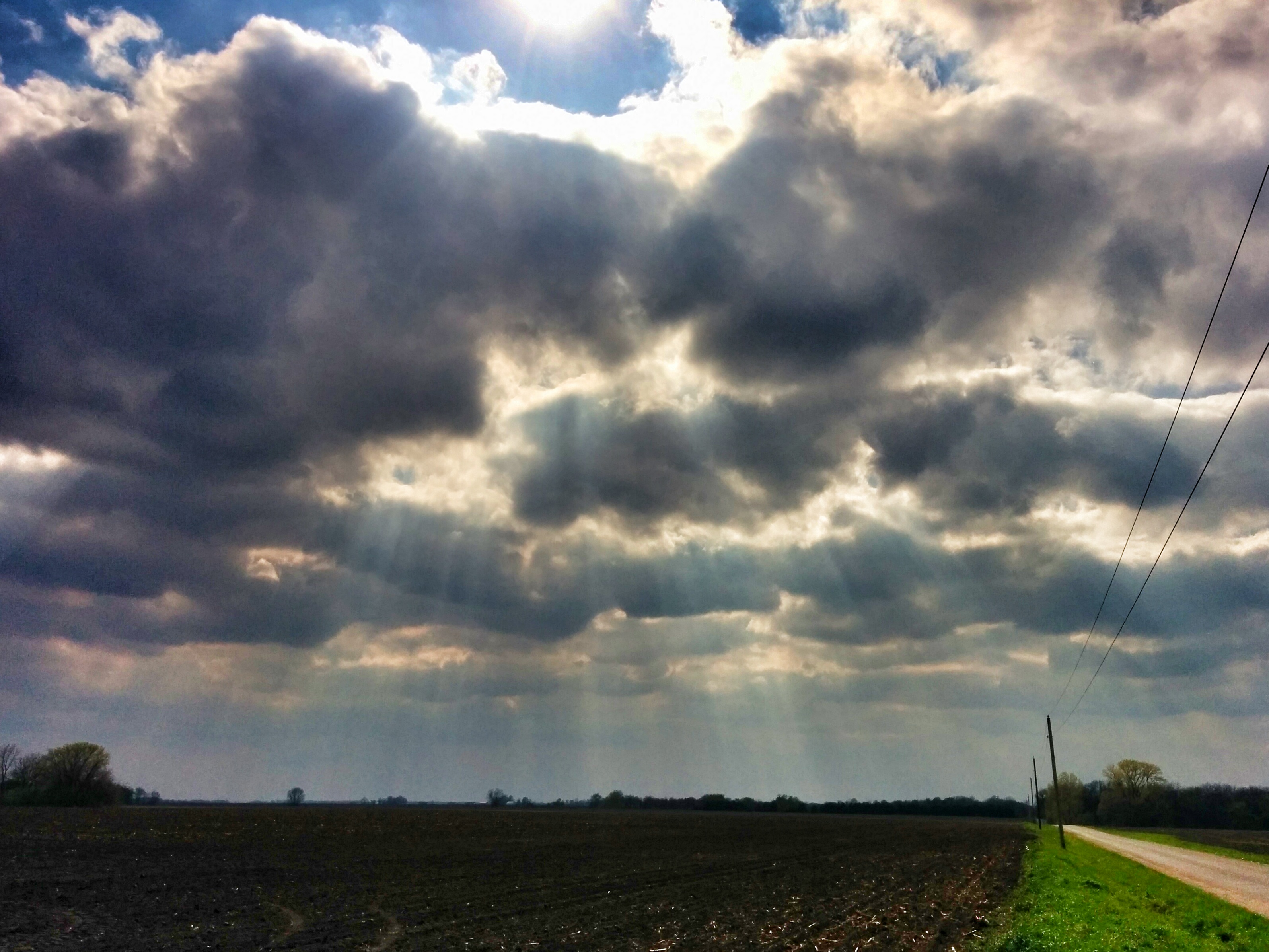
Eye of the Storm

Luken Rd Sangamon County

Day 262/365

Fields of Clover

Jones Boys Market

New Salem, Illinois
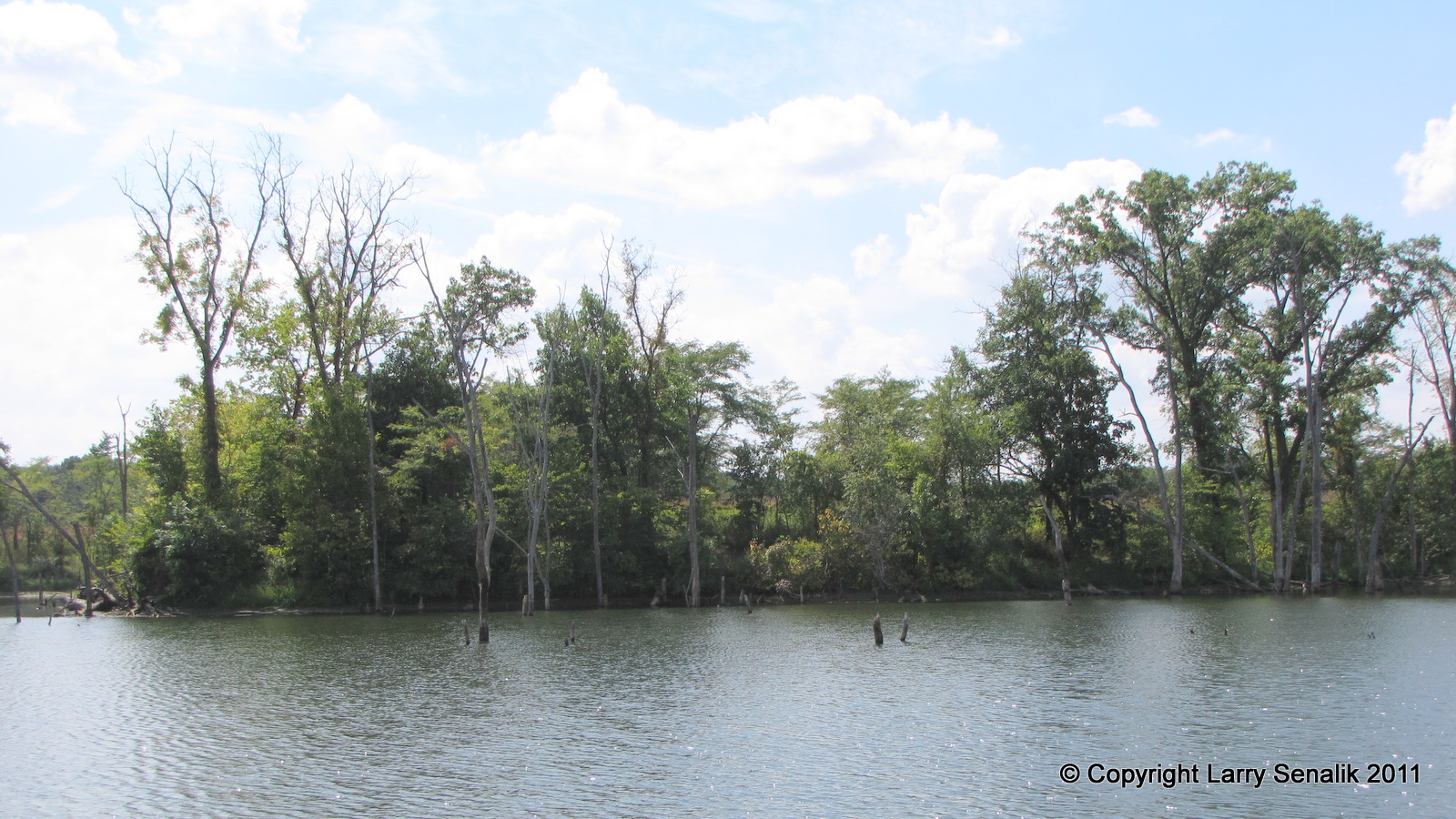
Gridley Lake - Jim Edgar Panther Creek
Central Illinois Landscape (Ashland, Illinois)
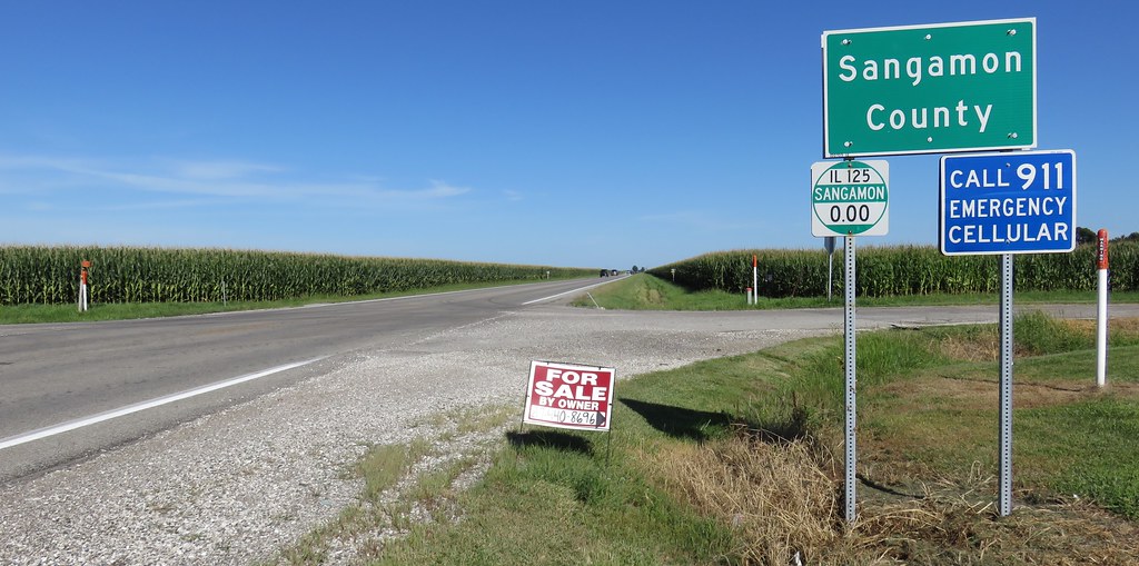
Entering Sangamon County (Sangamon County, Illinois)

Photo May 20, 4 38 47 PM

IMG_6363 2

Good Night from Pleasant Plains.
Topographic Map of A Church Bank Store, Pleasant Plains, IL, USA
Find elevation by address:

Places near A Church Bank Store, Pleasant Plains, IL, USA:
Pleasant Plains
Cartwright Township
Island Grove Township
Old Jack Rd, New Berlin, IL, USA
McQueen Rd, New Berlin, IL, USA
4480 Sangamon Morgan County Line Rd
4480 Sangamon Morgan County Line Rd
3720 N Lincoln Trail
3720 N Lincoln Trail
3720 N Lincoln Trail
3720 N Lincoln Trail
3720 N Lincoln Trail
3720 N Lincoln Trail
3720 N Lincoln Trail
3720 N Lincoln Trail
Gardner Township
4055 Timber Ridge Dr
Timber Ridge Drive
4405 Timber Ridge Dr
Bunn
Recent Searches:
- Elevation of Beall Road, Beall Rd, Florida, USA
- Elevation of Leguwa, Nepal
- Elevation of County Rd, Enterprise, AL, USA
- Elevation of Kolchuginsky District, Vladimir Oblast, Russia
- Elevation of Shustino, Vladimir Oblast, Russia
- Elevation of Lampiasi St, Sarasota, FL, USA
- Elevation of Elwyn Dr, Roanoke Rapids, NC, USA
- Elevation of Congressional Dr, Stevensville, MD, USA
- Elevation of Bellview Rd, McLean, VA, USA
- Elevation of Stage Island Rd, Chatham, MA, USA