Elevation of Ștefănești, Romania
Location: Romania > Botoșani County > Stefanesti >
Longitude: 27.1970077
Latitude: 47.7908198
Elevation: 69m / 226feet
Barometric Pressure: 100KPa
Elevation Map:
Satellite Map:
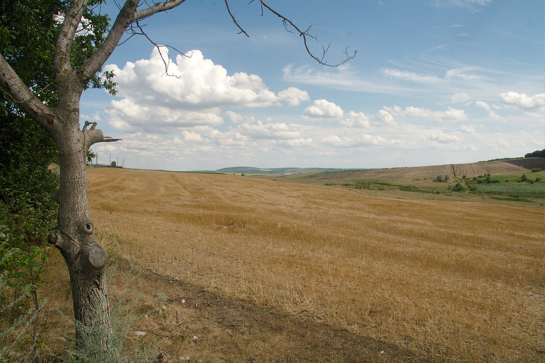
Related Photos:

Ciuhur (1980).

The river Ciuhur (1985).

Village Malaiesti (1980).

The river Ciuhur (1980).

2012-07-17!063425r

2012-07-17!063402r

2012-07-17!063432r

2012-07-17!063427r

2012-07-17!063406r
2012-07-17!063407r
Topographic Map of Ștefănești, Romania
Find elevation by address:

Places near Ștefănești, Romania:
Stefanesti
Albesti
Trușești
Trusesti
Flamanzi
Flămânzi
Iași County
Miroslava
Balti
Miroslava
Balti
Iași Metropolitan Area
Iași
Valea Adâncă
Manta Roşie
Dj248c 426
Ion Creangă
Valea Ursului
Valea Ursului
Emil Racoviță
Recent Searches:
- Elevation of Woodland Oak Pl, Thousand Oaks, CA, USA
- Elevation of Brownsdale Rd, Renfrew, PA, USA
- Elevation of Corcoran Ln, Suffolk, VA, USA
- Elevation of Mamala II, Sariaya, Quezon, Philippines
- Elevation of Sarangdanda, Nepal
- Elevation of 7 Waterfall Way, Tomball, TX, USA
- Elevation of SW 57th Ave, Portland, OR, USA
- Elevation of Crocker Dr, Vacaville, CA, USA
- Elevation of Pu Ngaol Community Meeting Hall, HWHM+3X7, Krong Saen Monourom, Cambodia
- Elevation of Royal Ontario Museum, Queens Park, Toronto, ON M5S 2C6, Canada