Elevation of Őriszentpéter, Baksaszer 10, Hungary
Location: Hungary > Őriszentpéter >
Longitude: 16.42547
Latitude: 46.833636
Elevation: 243m / 797feet
Barometric Pressure: 98KPa
Elevation Map:
Satellite Map:
Related Photos:
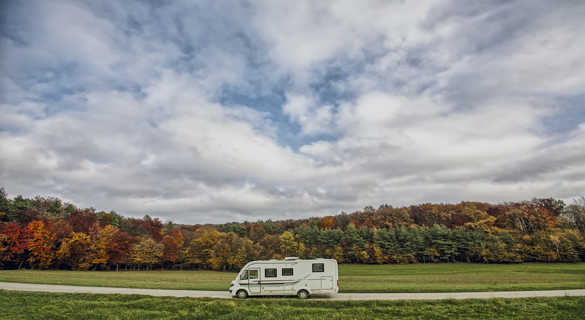
Adria Mobil Sonic motorhome landscape in Selo, Moravske Toplice, Prekmurje, Slovenia
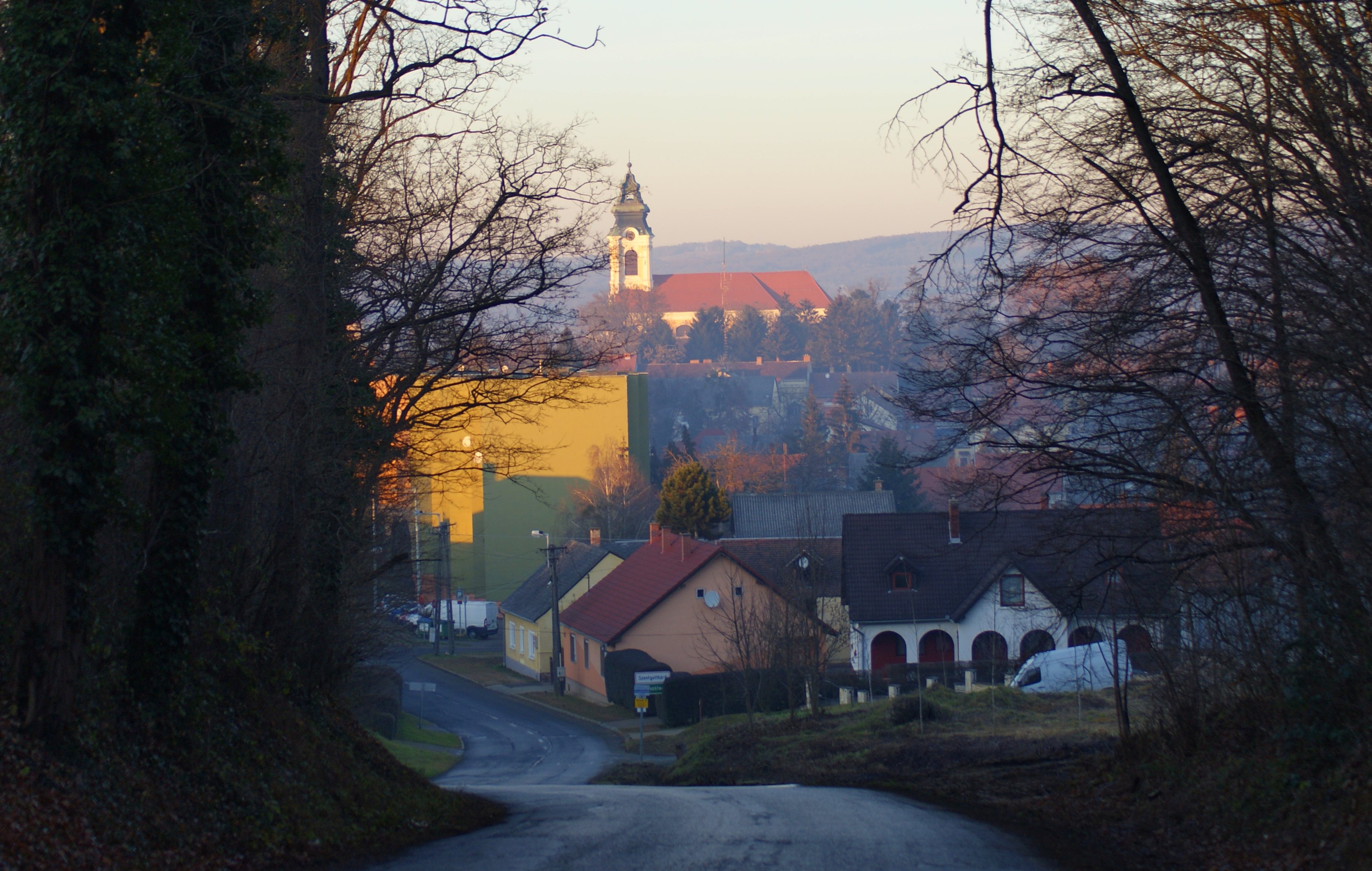
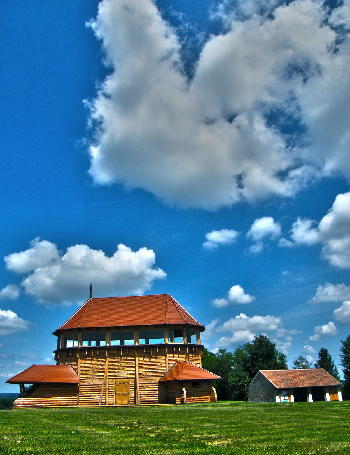
Szentgotthárd
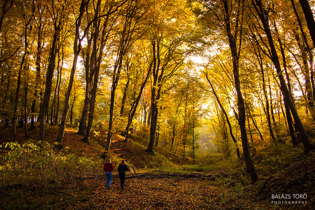
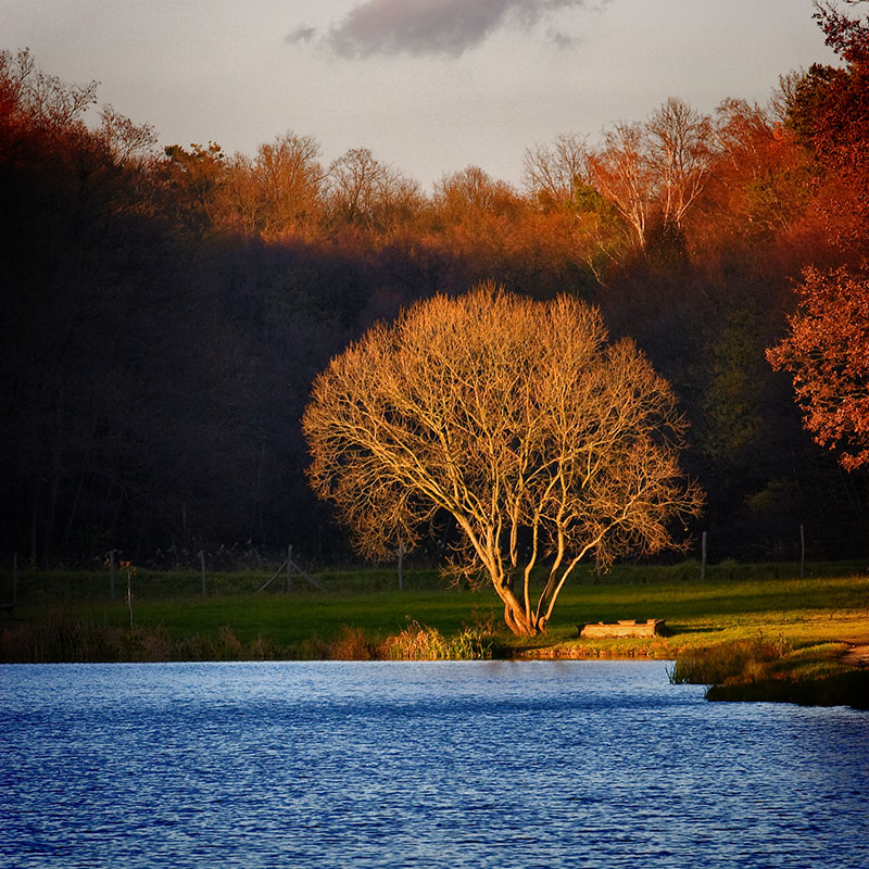
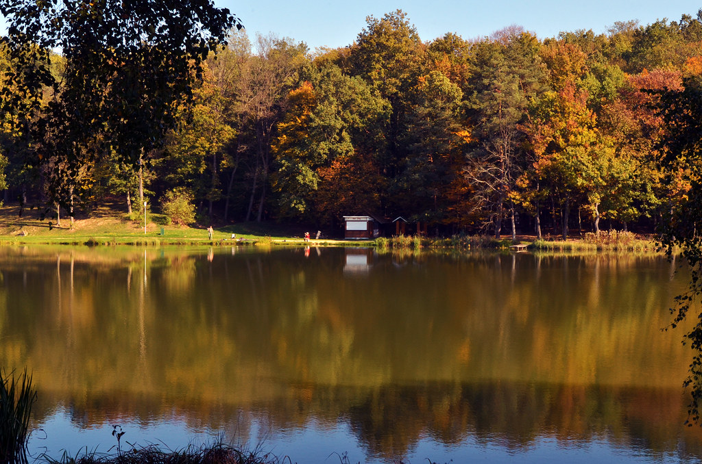
In The Autumn Forest

the gate of the forest
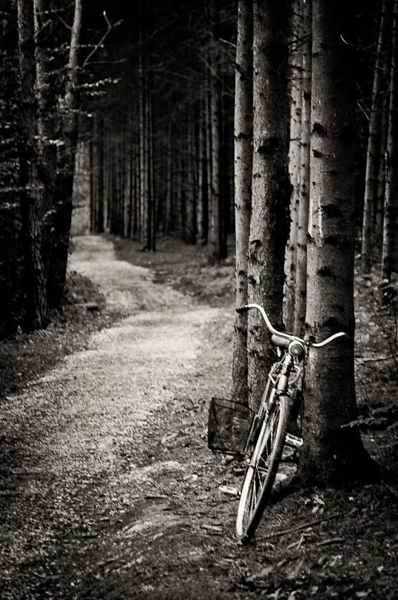
bike in the woods
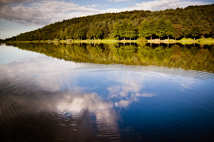
ripples on the water
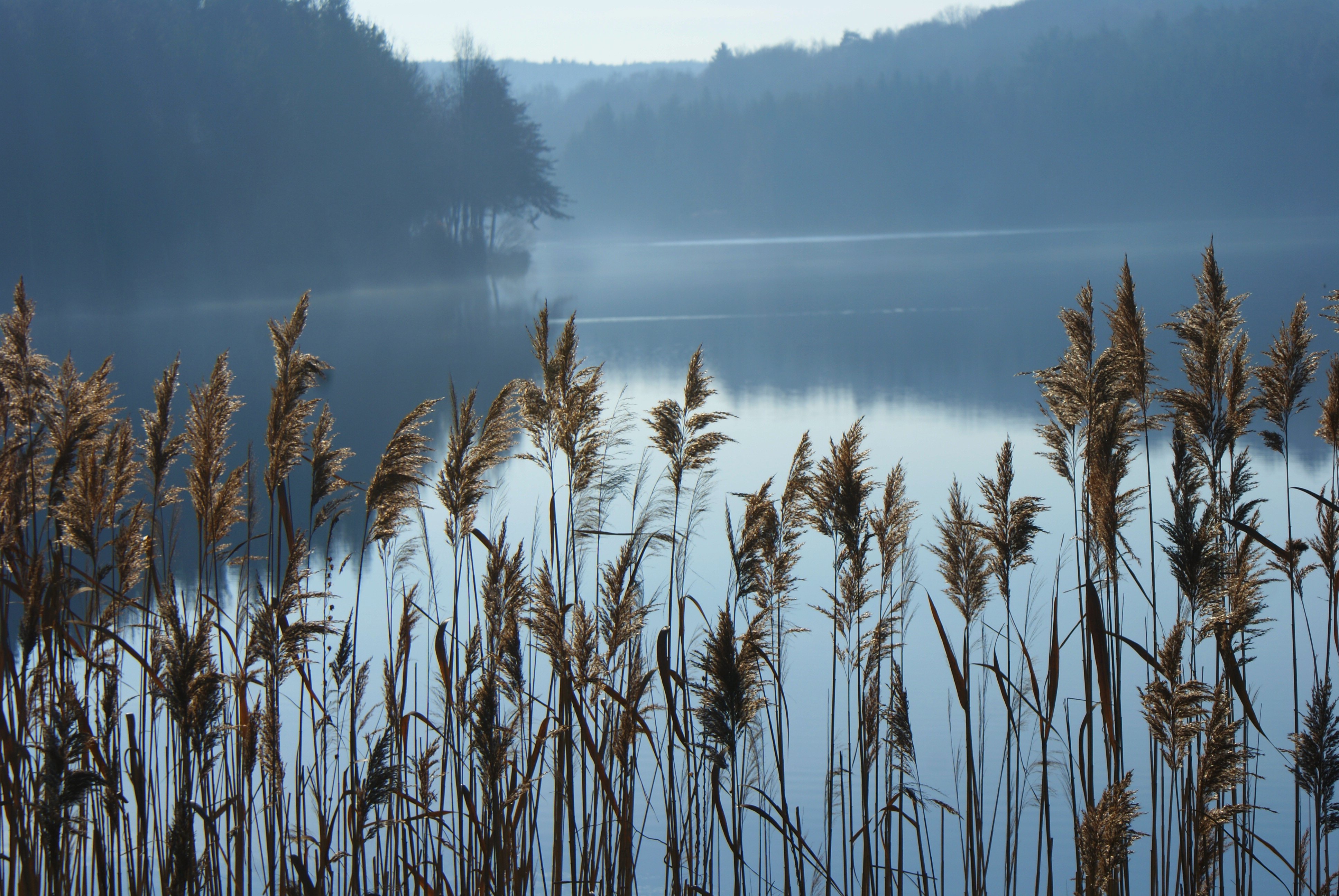
Hársas tó
Hársas Lake
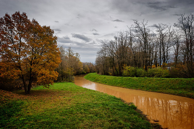
068 - Meander
042 - In Spotlight
044 - Framed Colors
őrség_201106_619v2

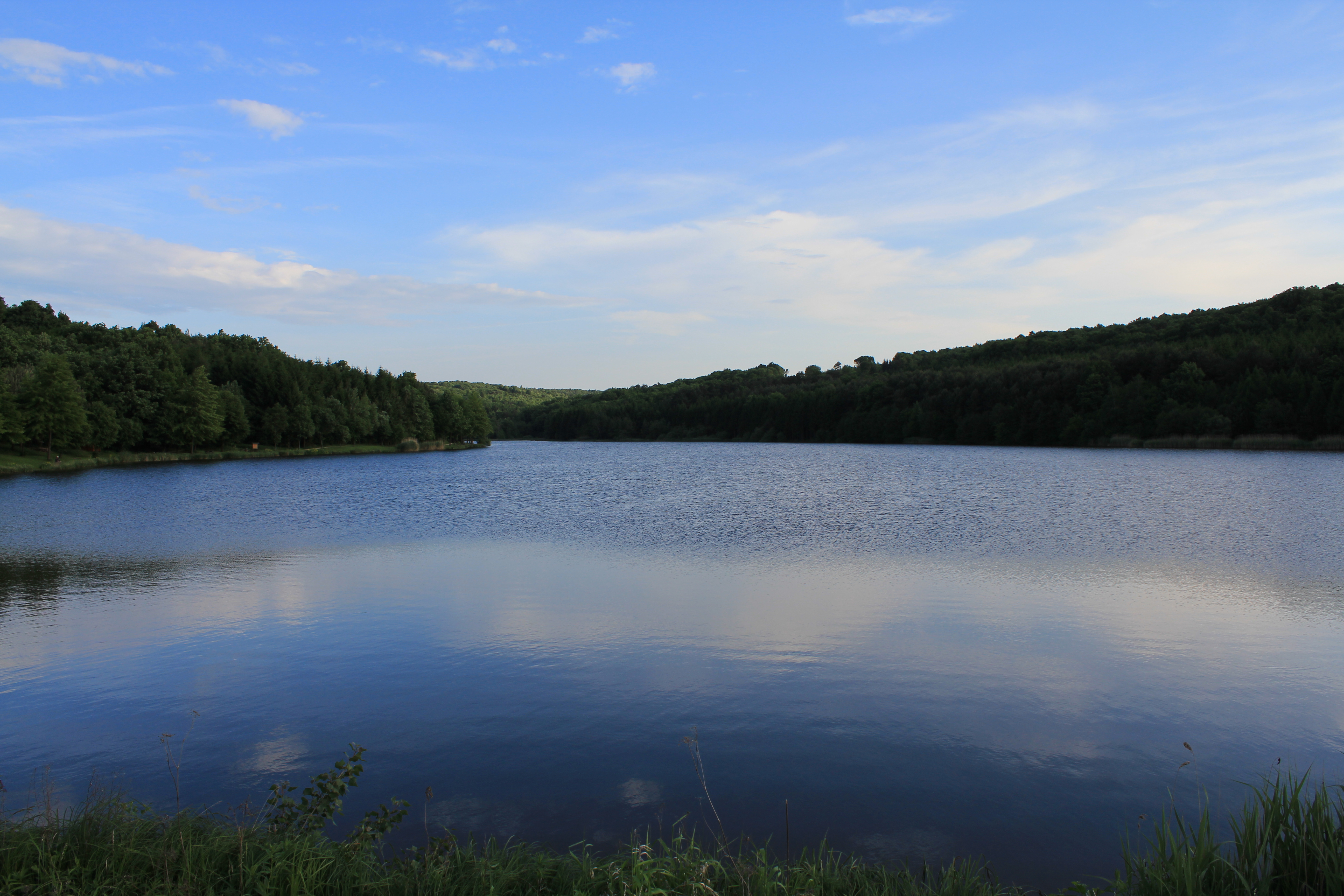
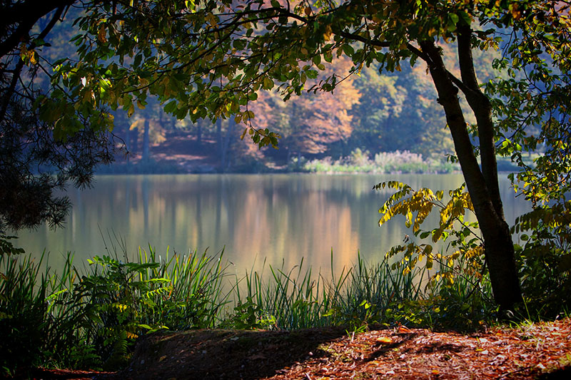
along the lake

ein ländliches Portrait
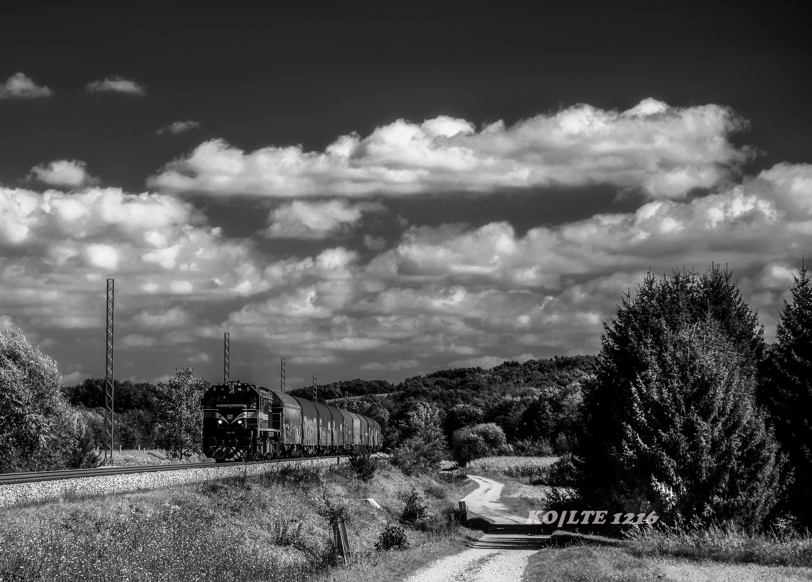
Slovenske železnice d.o.o. - 664.112 - Salovci,SI
Windows 9
Hungary / Vadása Tó
Őrségi délután
Farkasfa 2006
a távolból

Hungary / Vadása Tó
Hungary / Vadása Tó Fishermen
Topographic Map of Őriszentpéter, Baksaszer 10, Hungary
Find elevation by address:

Places near Őriszentpéter, Baksaszer 10, Hungary:
Őriszentpéter
Kovácsszer 28
Őriszentpéter, Keserűszer 8, Hungary
Szentgotthárdi
Gasztony
Nemesmedves, Fő u. 5, Hungary
Zalalövő
Szentgotthárd
Rábatótfalu
Szentgotthárd, Tótfalusi út 78, Hungary
Rédics
Moschendorf 35, Moschendorf, Austria
Moschendorf
Langzeil 54, Güssing, Austria
Güssing District
Güssing
Körmend
Poppendorf Im Burgenland
Sportplatzgasse 3, Poppendorf im Burgenland, Austria
45c
Recent Searches:
- Elevation of Luther Road, Luther Rd, Auburn, CA, USA
- Elevation of Unnamed Road, Respublika Severnaya Osetiya — Alaniya, Russia
- Elevation of Verkhny Fiagdon, North Ossetia–Alania Republic, Russia
- Elevation of F. Viola Hiway, San Rafael, Bulacan, Philippines
- Elevation of Herbage Dr, Gulfport, MS, USA
- Elevation of Lilac Cir, Haldimand, ON N3W 2G9, Canada
- Elevation of Harrod Branch Road, Harrod Branch Rd, Kentucky, USA
- Elevation of Wyndham Grand Barbados Sam Lords Castle All Inclusive Resort, End of Belair Road, Long Bay, Bridgetown Barbados
- Elevation of Iga Trl, Maggie Valley, NC, USA
- Elevation of N Co Rd 31D, Loveland, CO, USA