Elevation of - Rancho Penasquitos Blvd, San Diego, CA, USA
Location: United States > California > San Diego County > San Diego > Rancho Peñasquitos >
Longitude: -117.10770
Latitude: 32.9500269
Elevation: 132m / 433feet
Barometric Pressure: 100KPa
Elevation Map:
Satellite Map:
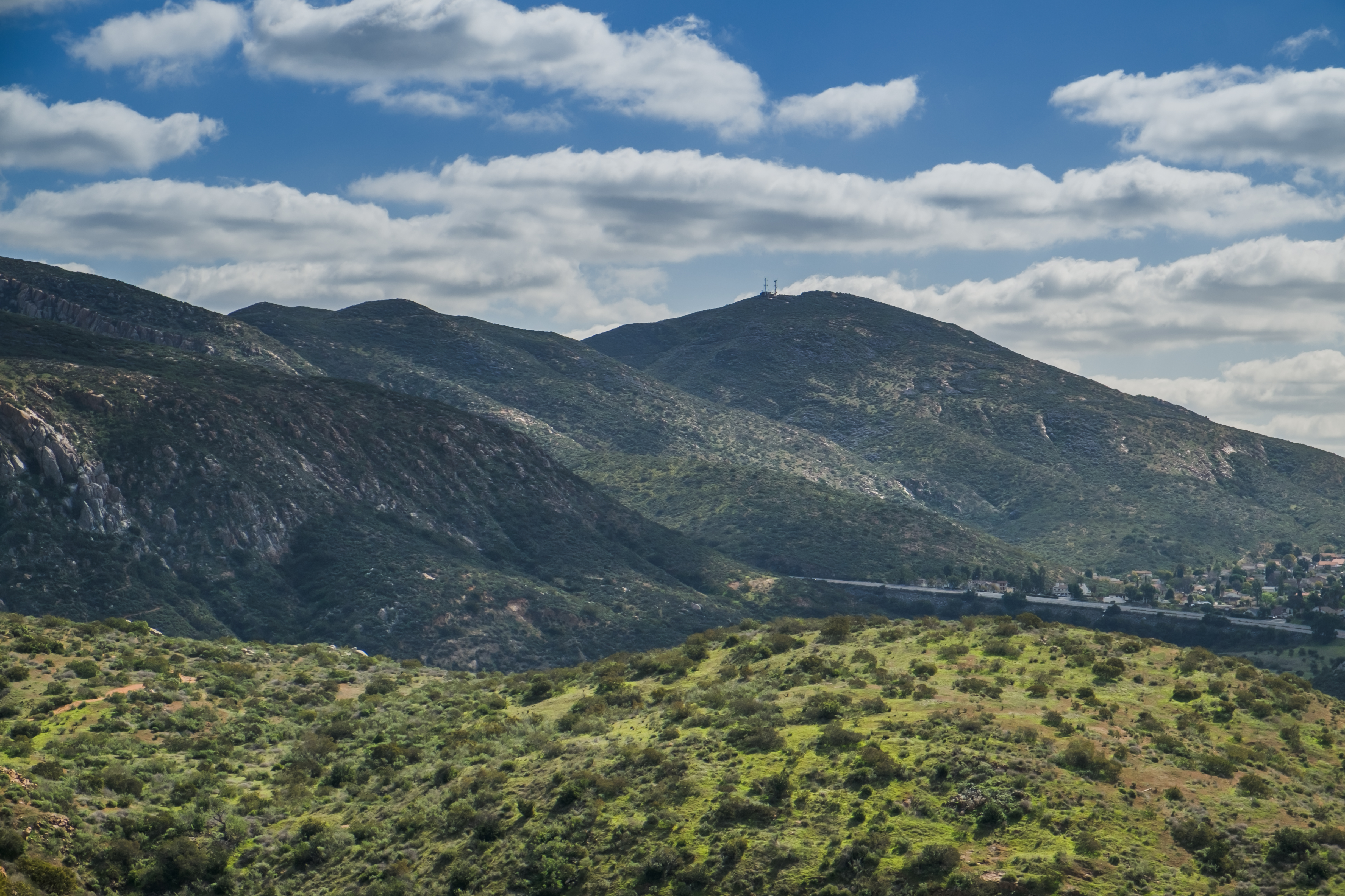
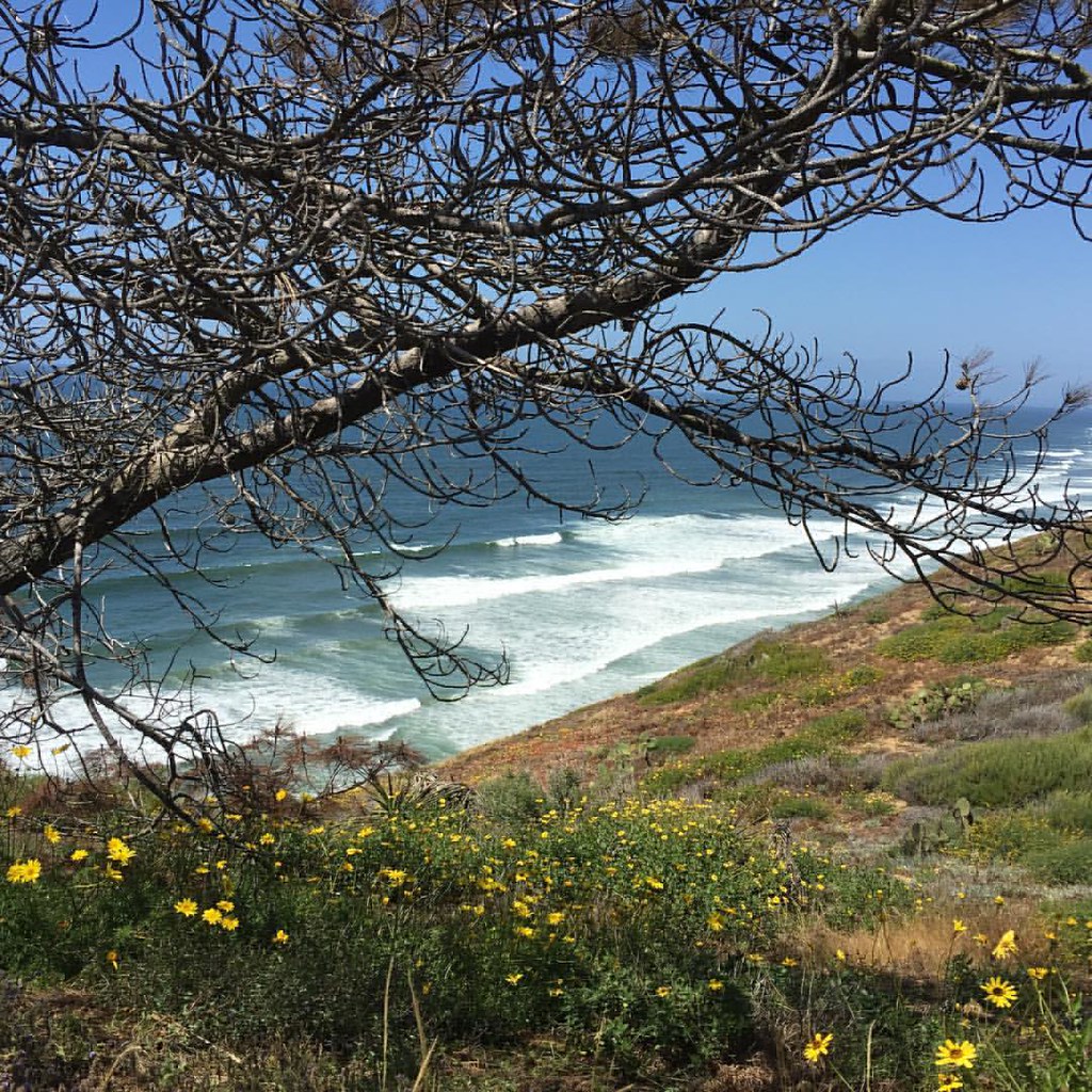
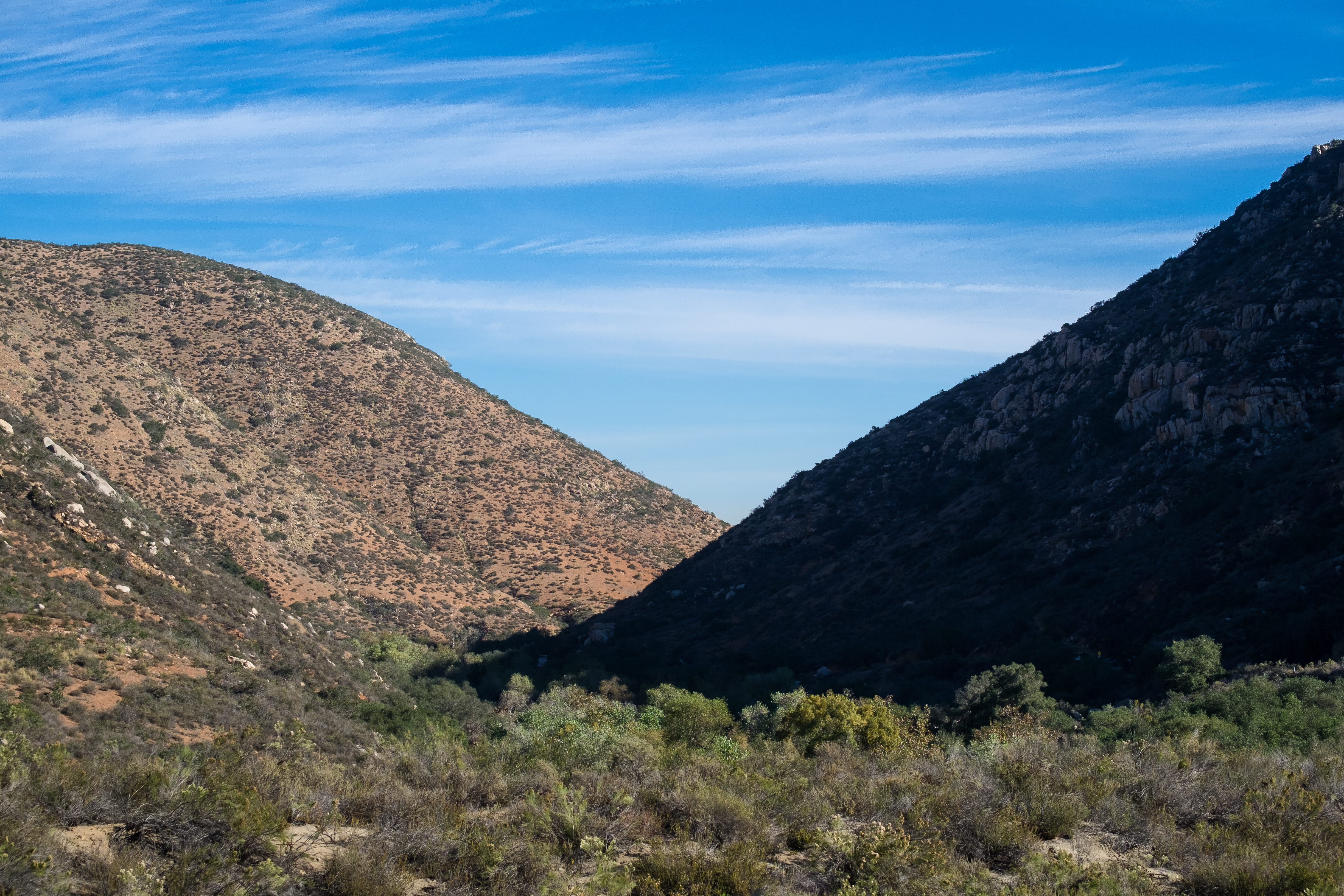
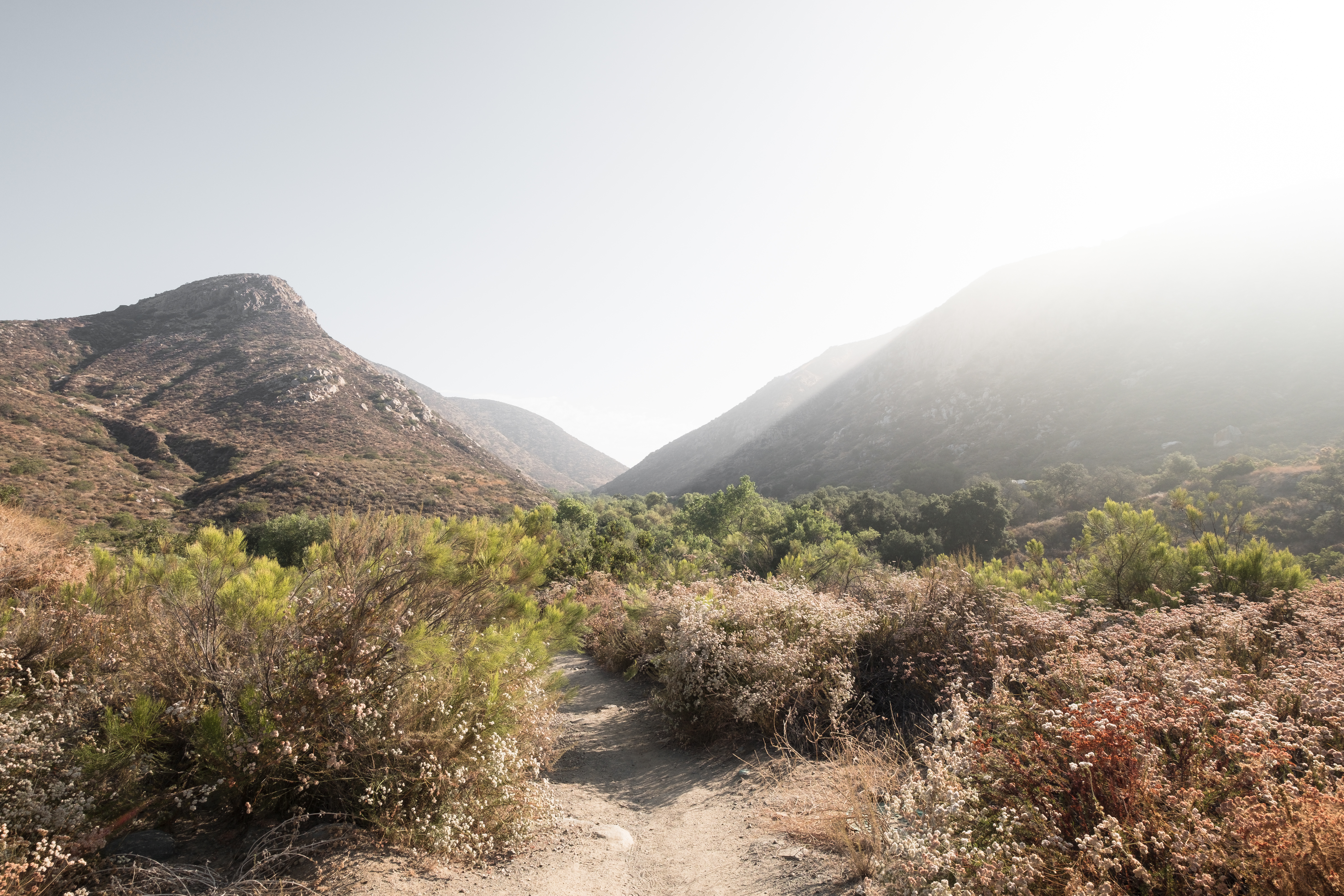
Related Photos:
La Jolla

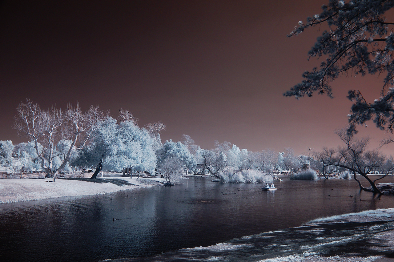
Santee Lakes on the Winter Solstice With Sun Flare - Infrared

Los Penasquitos Lagoon

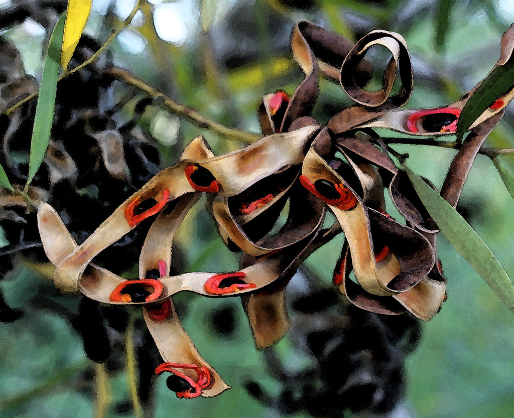
Berries and Bird

SRT-10 ACR.
Saturday In The Park - Infrared
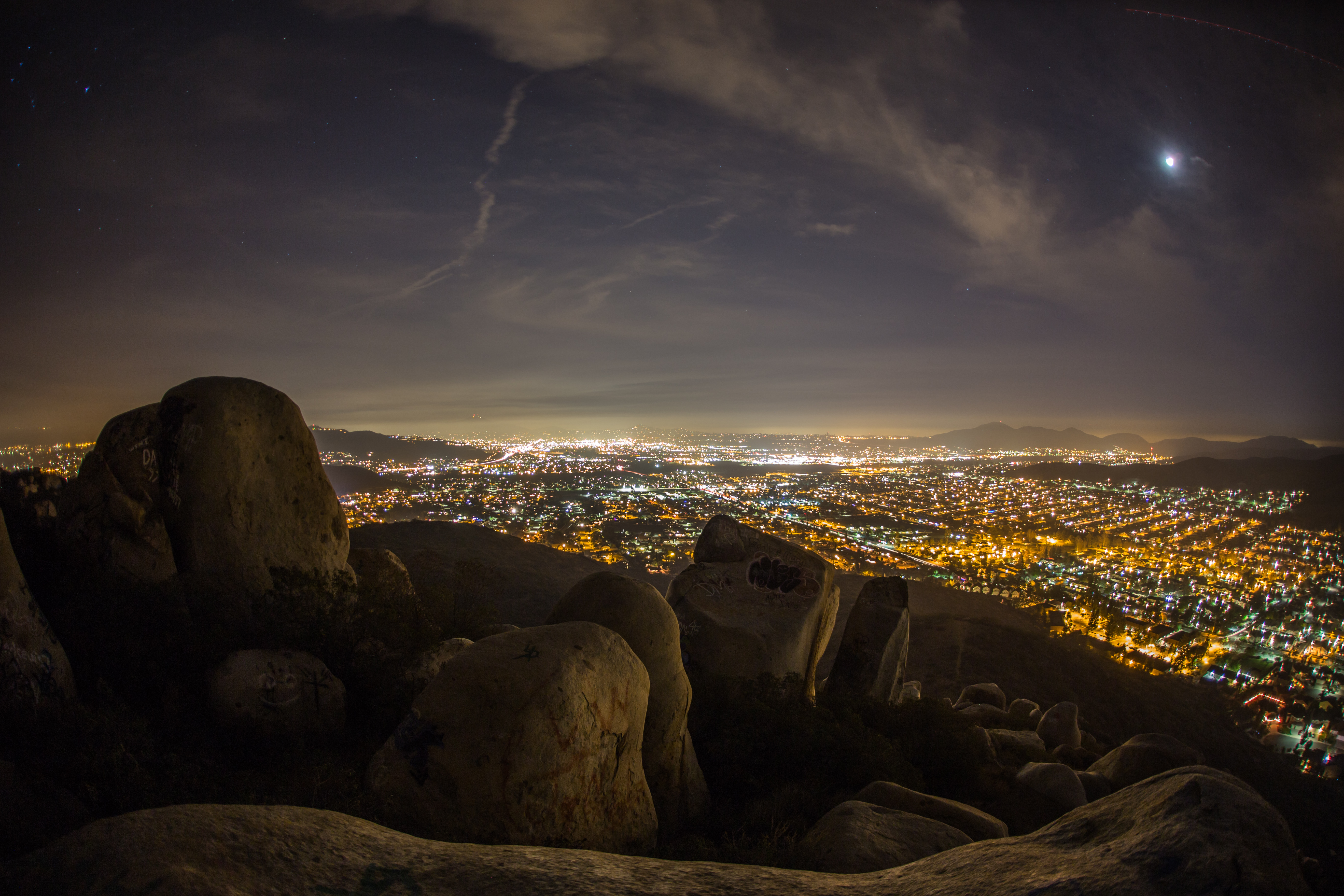
Rocks atop a mountain at night.

On Fire
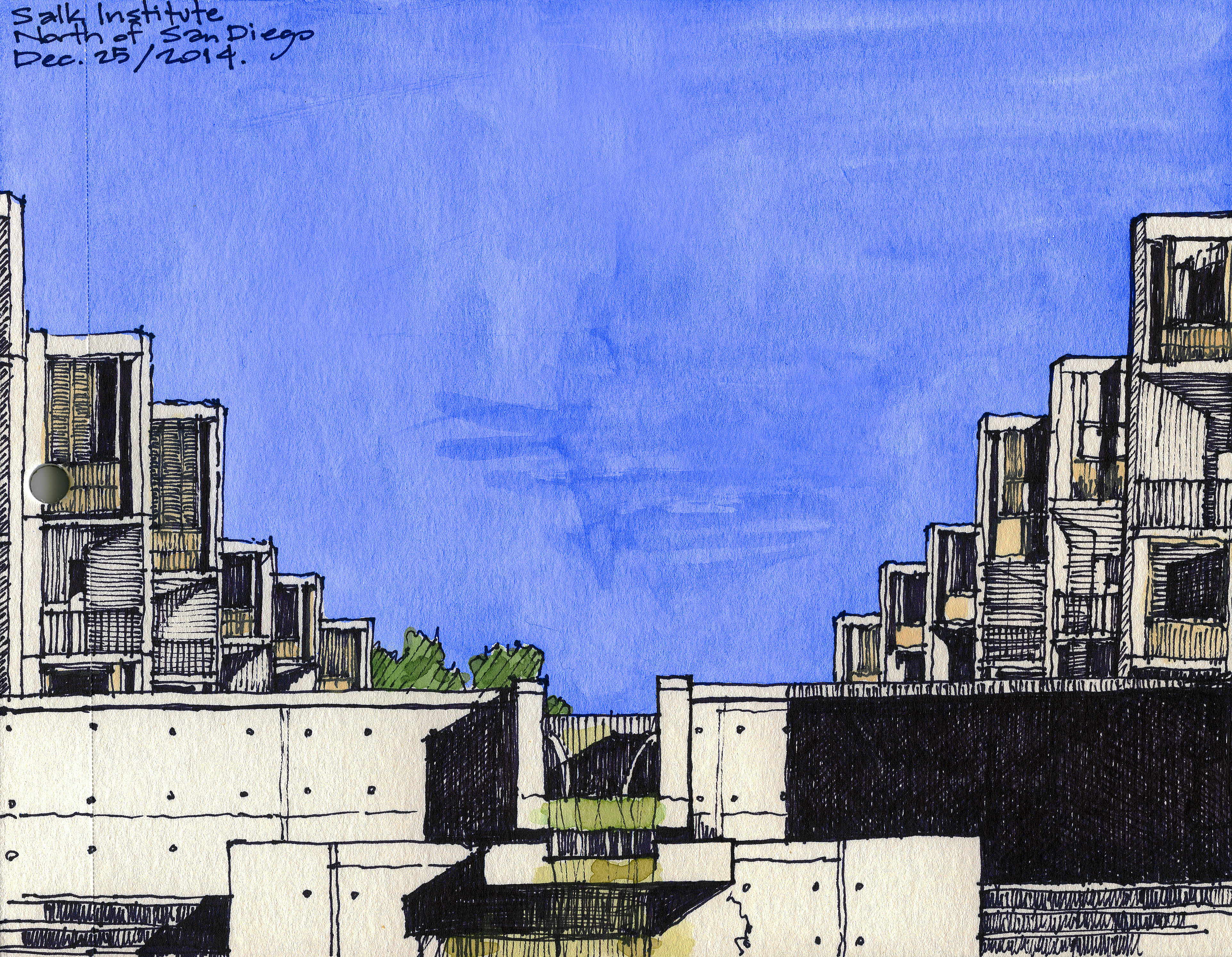
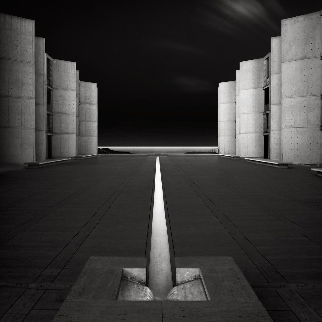
Salk Institute, La Jolla, California
another View
Feeding Water To The Ocean

Trees Of Santee Lakes On A Morning With Clouds
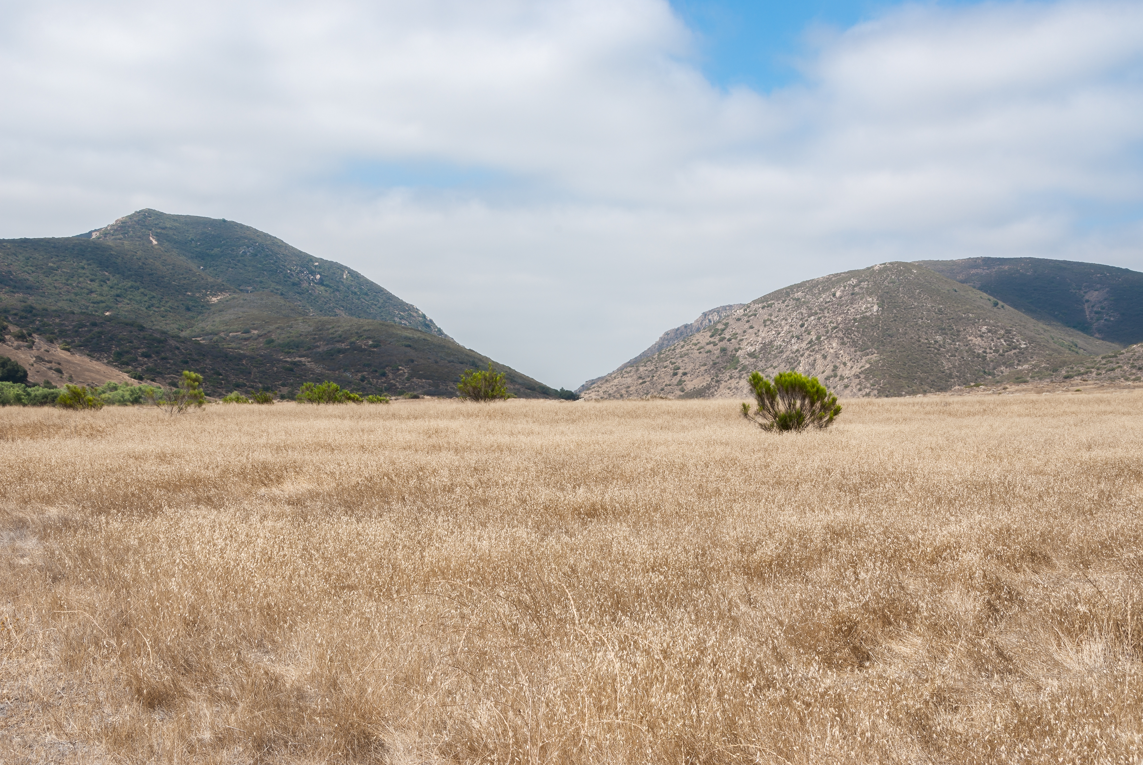
Mission Trails Valley
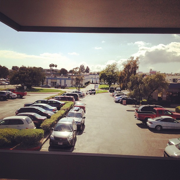
The completely unglamorous skyline/view from our studio. #photoadaymay

Lake Hodges

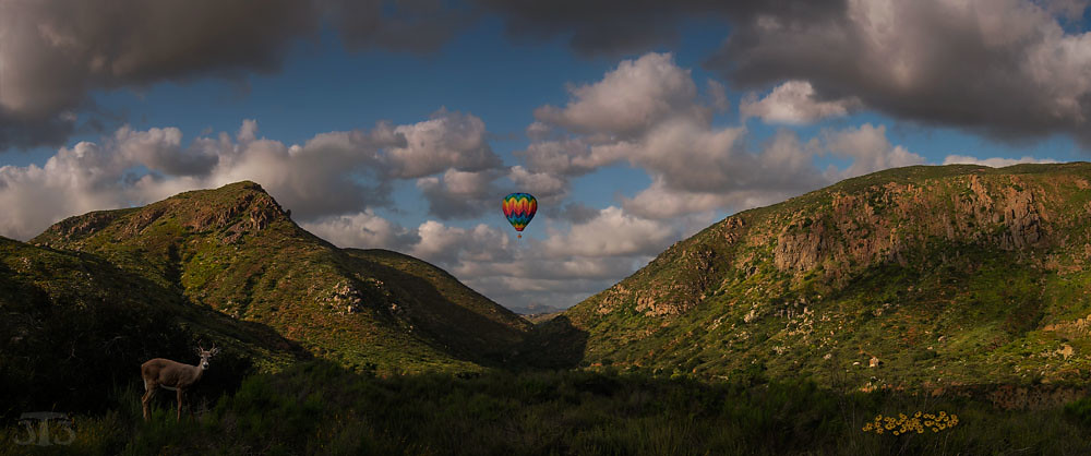
Balloon areal view between Del Mar & Rancho Santafe-CA

cloudy morning...
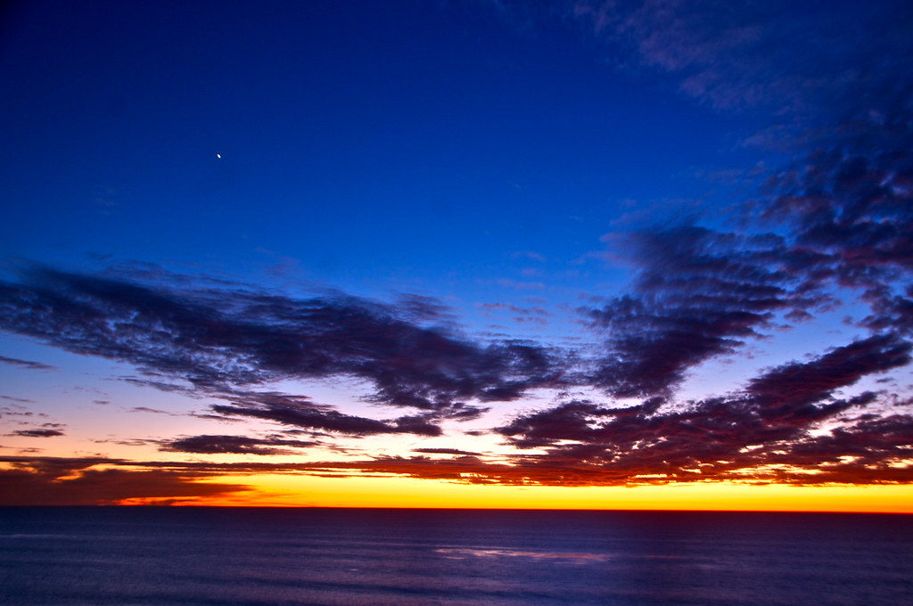
Tuesday Twilight Sunset

CH-53
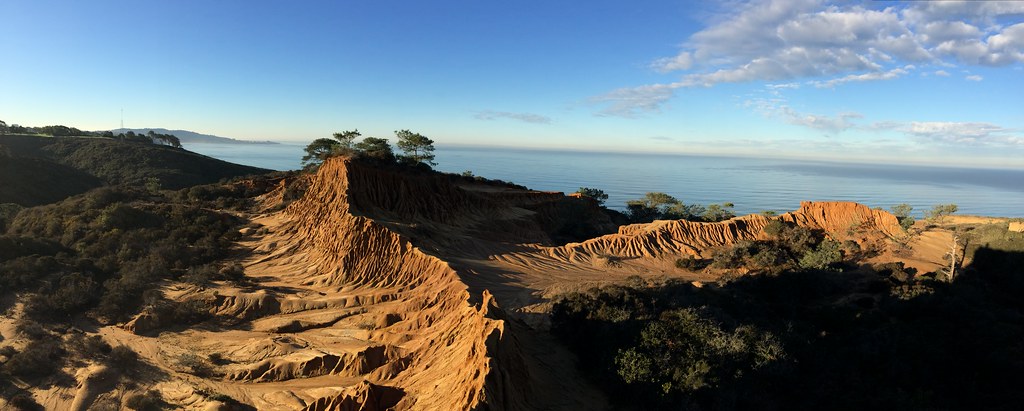
Broken Hill
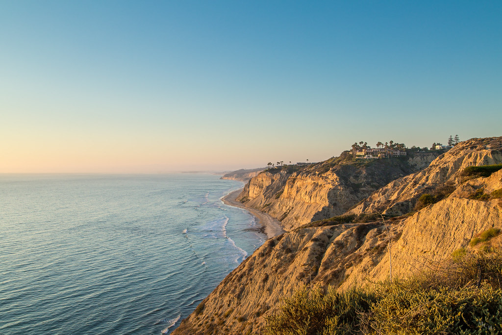
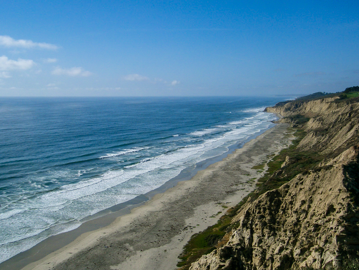
Torrey Pines Coast At Sunset
PEDB20120703-057-Edit.jpg
PEDB20130306-026.jpg
Torrey Pines in spring. #torreypines #torreypinesreserve #sandiego #sandiegoca #pacificocean #pacificcoaast #lajollaca #california

PEDB20090217-010-Edit.jpg
Visitor Center Loop Trail - Mission Trails Park
Visitor Center Loop Trail - Mission Trails Park
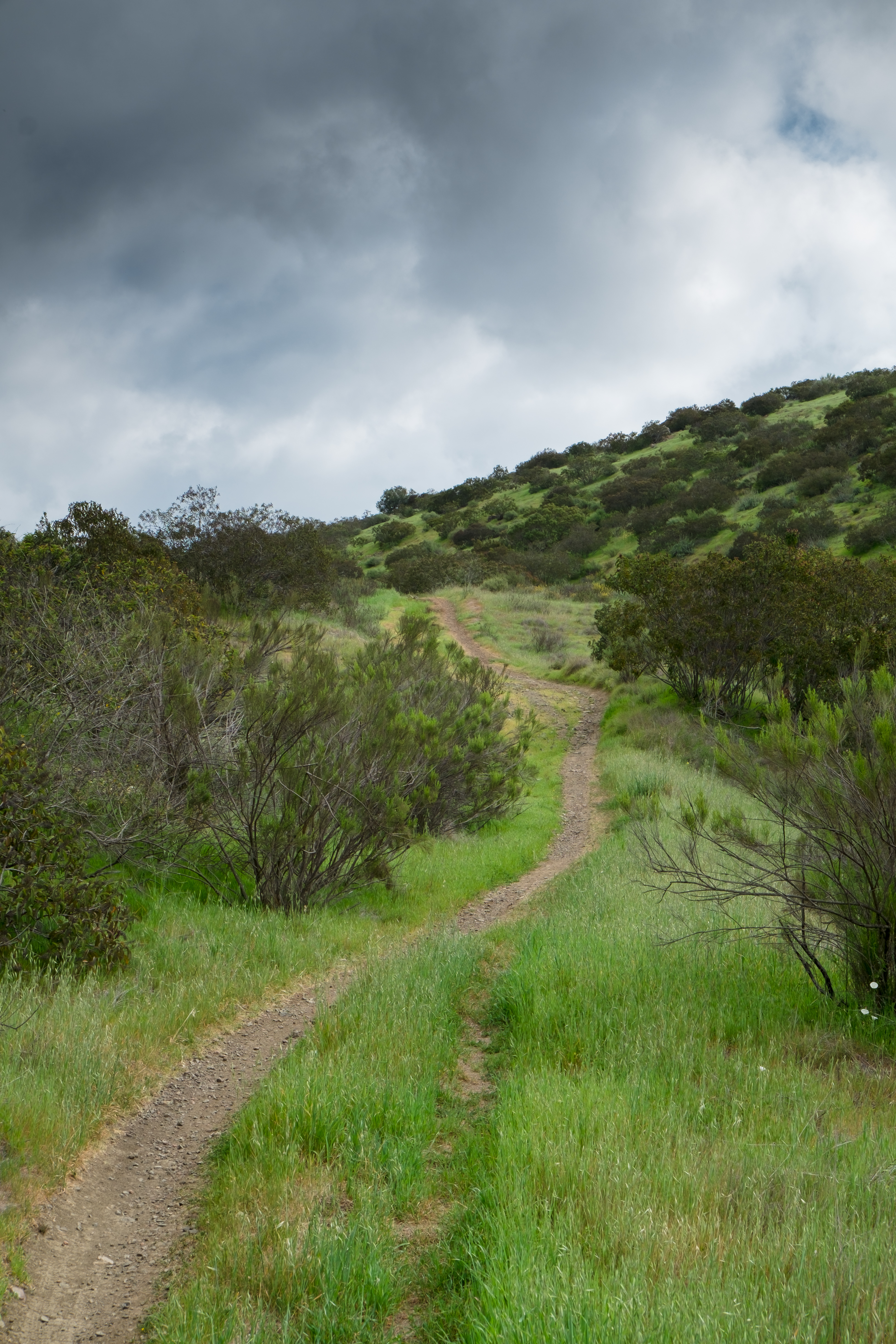
Oak Canyon Trail - Mission Trails Park

PEDB20140411-029.jpg

Visitor Center Loop Trail - Mission Trails Park
PEDB20120703-032-Edit-Edit.jpg

PEDB20140411-035.jpg
Father Junipero Serra Trail - Mission Trails Park
Mission Trails Park Visitor Center
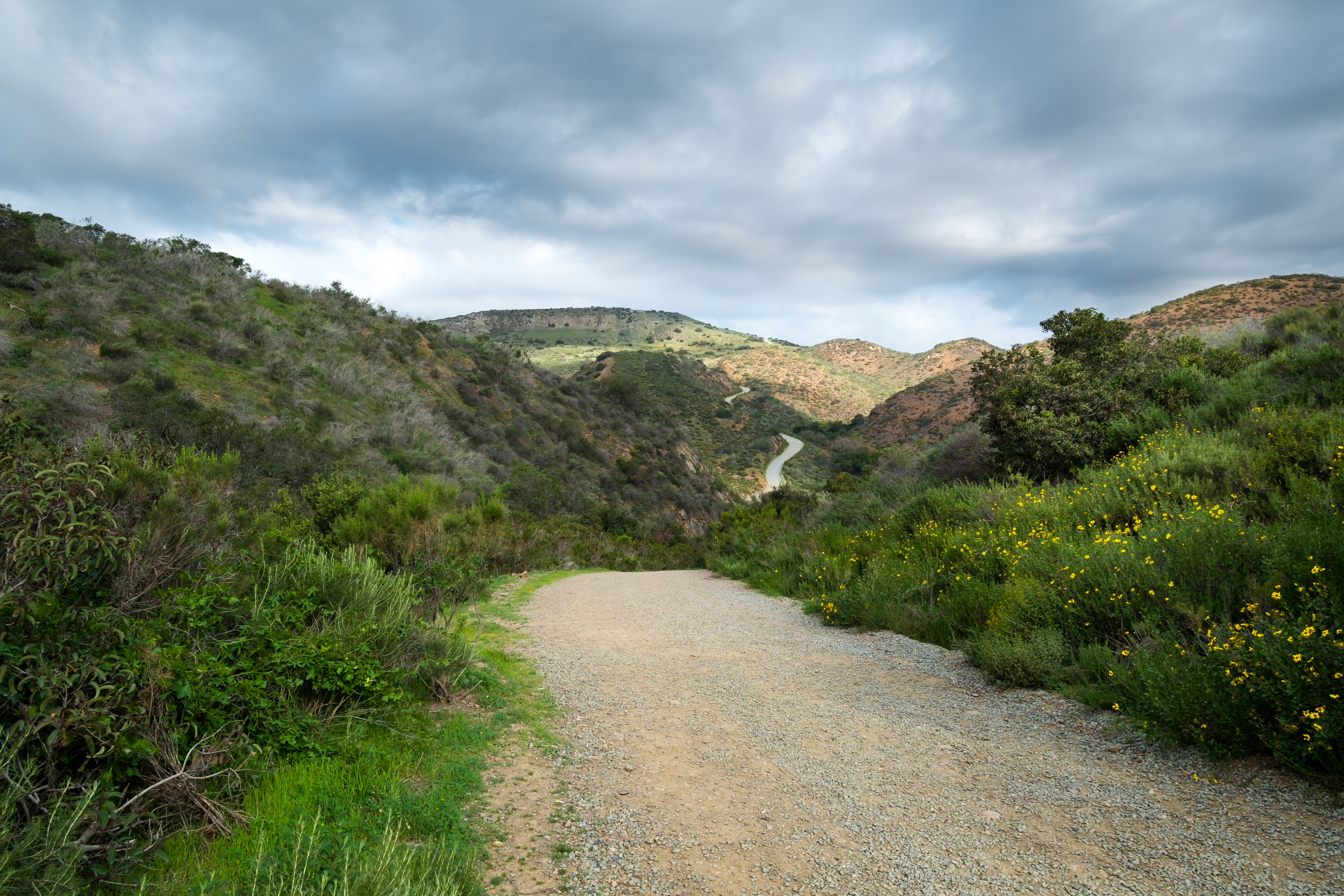
Visitor Center Loop Trail - Mission Trails Park
PEDB20130402-036.jpg
PEDB20140121-058.jpg
PEDB20130222-018-Edit.jpg
PEDB20121120-003.jpg
Visitor Center Loop Trail - Mission Trails Park
Life Guard....
Visitor Center Loop Trail - Mission Trails Park
Topographic Map of - Rancho Penasquitos Blvd, San Diego, CA, USA
Find elevation by address:

Places near - Rancho Penasquitos Blvd, San Diego, CA, USA:
12572 Rancho Penasquitos Blvd
13013 Calle De Las Rosas
Castle Creek Country Club
Nutmeg Bakery & Cafe
Sepia Ct, San Diego, CA, USA
13230 Evening Creek Dr N
13330 Evening Creek Dr N
13330 Evening Creek Dr N
13039 Old Sycamore Dr
10785 Scripps Poway Pkwy
Sabre Springs
Miramar Ranch North
Luxembourg Way
Doverhill Road
11107 Doverhill Rd
Miramar Reservoir
10960 Patina Ct
11640 Spring Canyon Rd
11865 Cypress Valley Dr
11888 Sweetbriar Ln
Recent Searches:
- Elevation of 12 Hutchinson Woods Dr, Fletcher, NC, USA
- Elevation of Holloway Ave, San Francisco, CA, USA
- Elevation of Norfolk, NY, USA
- Elevation of - San Marcos Pass Rd, Santa Barbara, CA, USA
- Elevation of th Pl SE, Issaquah, WA, USA
- Elevation of 82- D Rd, Captain Cook, HI, USA
- Elevation of Harlow CM20 2PR, UK
- Elevation of Shenyang Agricultural University, Dong Ling Lu, Shen He Qu, Shen Yang Shi, Liao Ning Sheng, China
- Elevation of Alpha Dr, Melbourne, FL, USA
- Elevation of Hiroshima University, 1-chōme-3-2 Kagamiyama, Higashihiroshima, Hiroshima -, Japan