Elevation of شندور، Pakistan
Location: Pakistan > Khyber Pakhtunkhwa >
Longitude: 72.5180556
Latitude: 36.0744444
Elevation: 3707m / 12162feet
Barometric Pressure: 64KPa
Elevation Map:
Satellite Map:
Related Photos:
Pak_102 Phargram An Trek

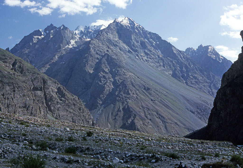
Flying Over Hindu Kush
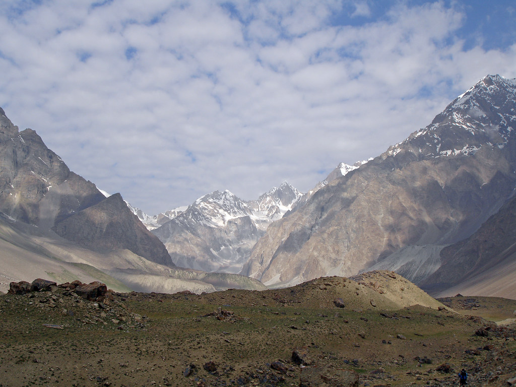
Pakistan_1992_034 Valley from Sor Laspur towards Kachhikhani An (HF-50)

Pak_096 Phargram An Trek
Pak_094 Shandur Pass
Lasht, Chitral, KPK, Pakistan
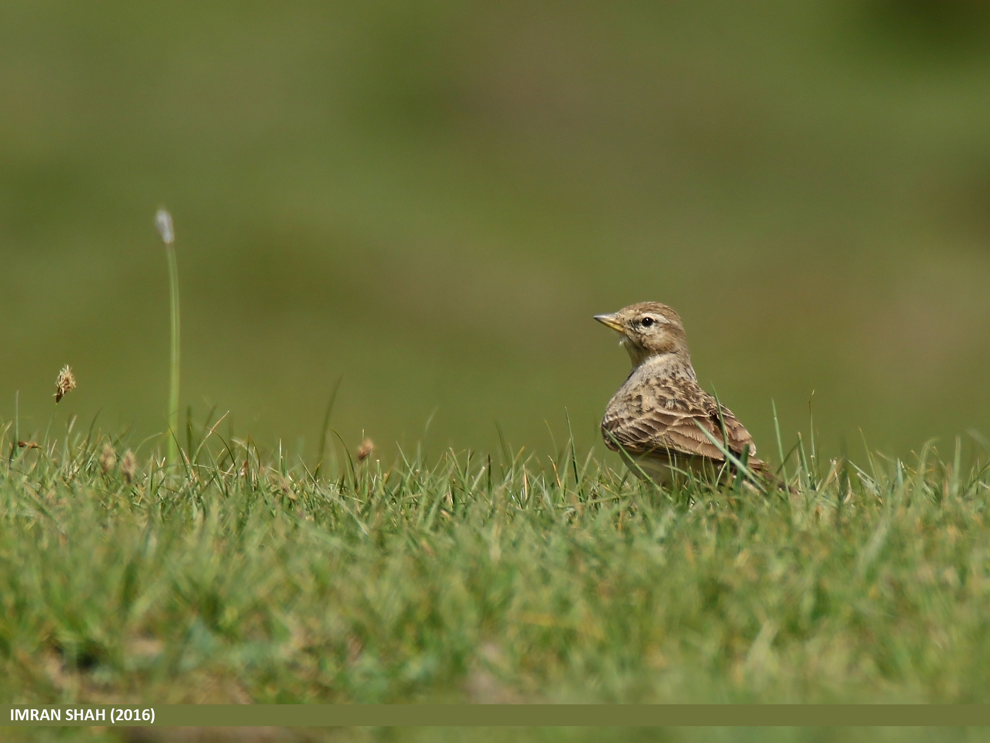
Greater Short-toed Lark (Calandrella brachydactyla)
Pakistan_1992_035 Approaching Kachhikhani Gol, Camp 1 (JE-01)
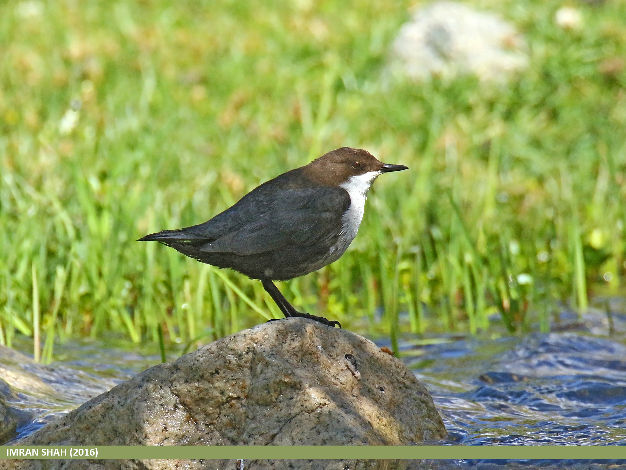
White-throated Dipper (Cinclus cinclus)
Greater Short-toed Lark (Calandrella brachydactyla)
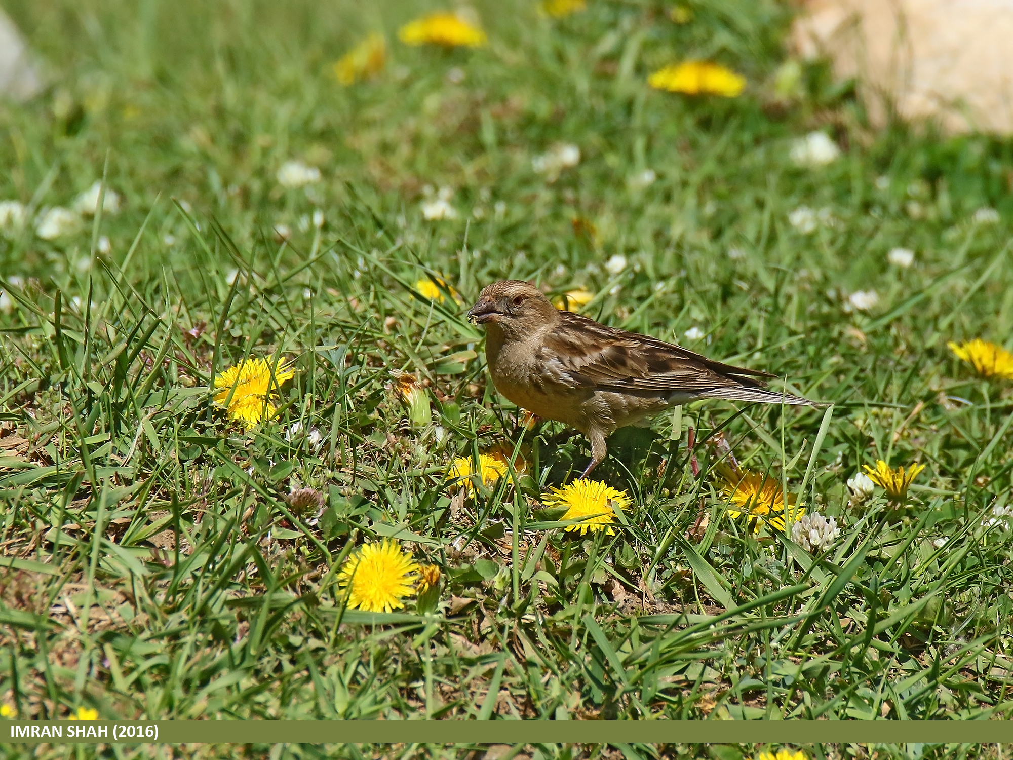
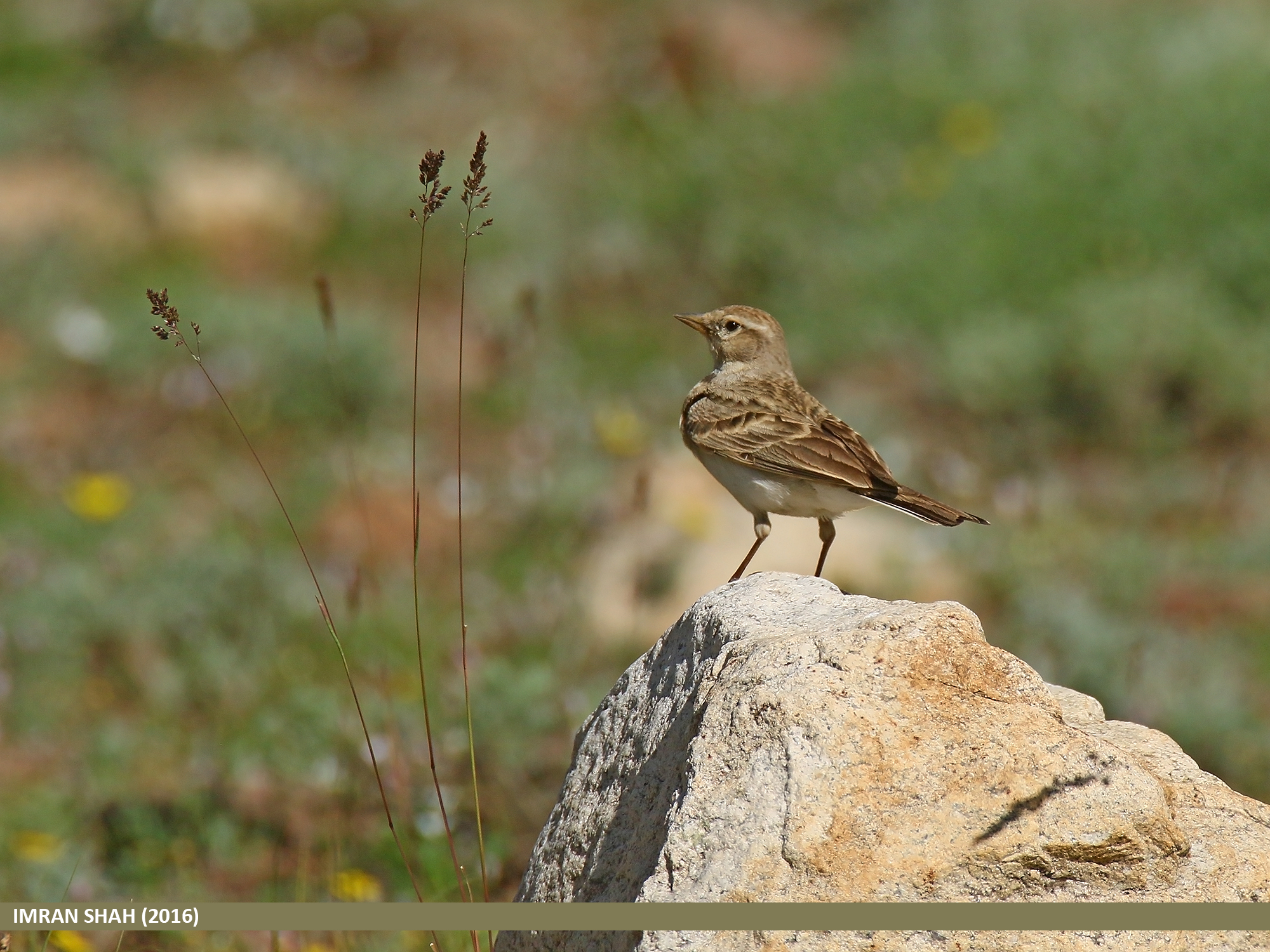
Plain Mountain Finch (Leucosticte nemoricola)
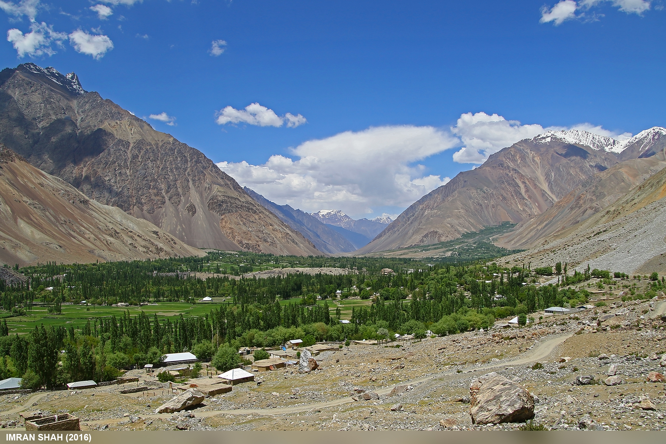
Langar, Ghizer, Gilgit-Baltistan, Pakistan
Hug....
Shandur, Ghizer, Gilgit-Baltistan, Pakistan
Blossom at Langar
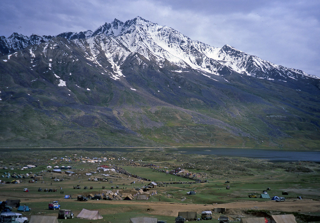
Pak_090E Shandur Polo Festival

Pak_088 Shandur Pass
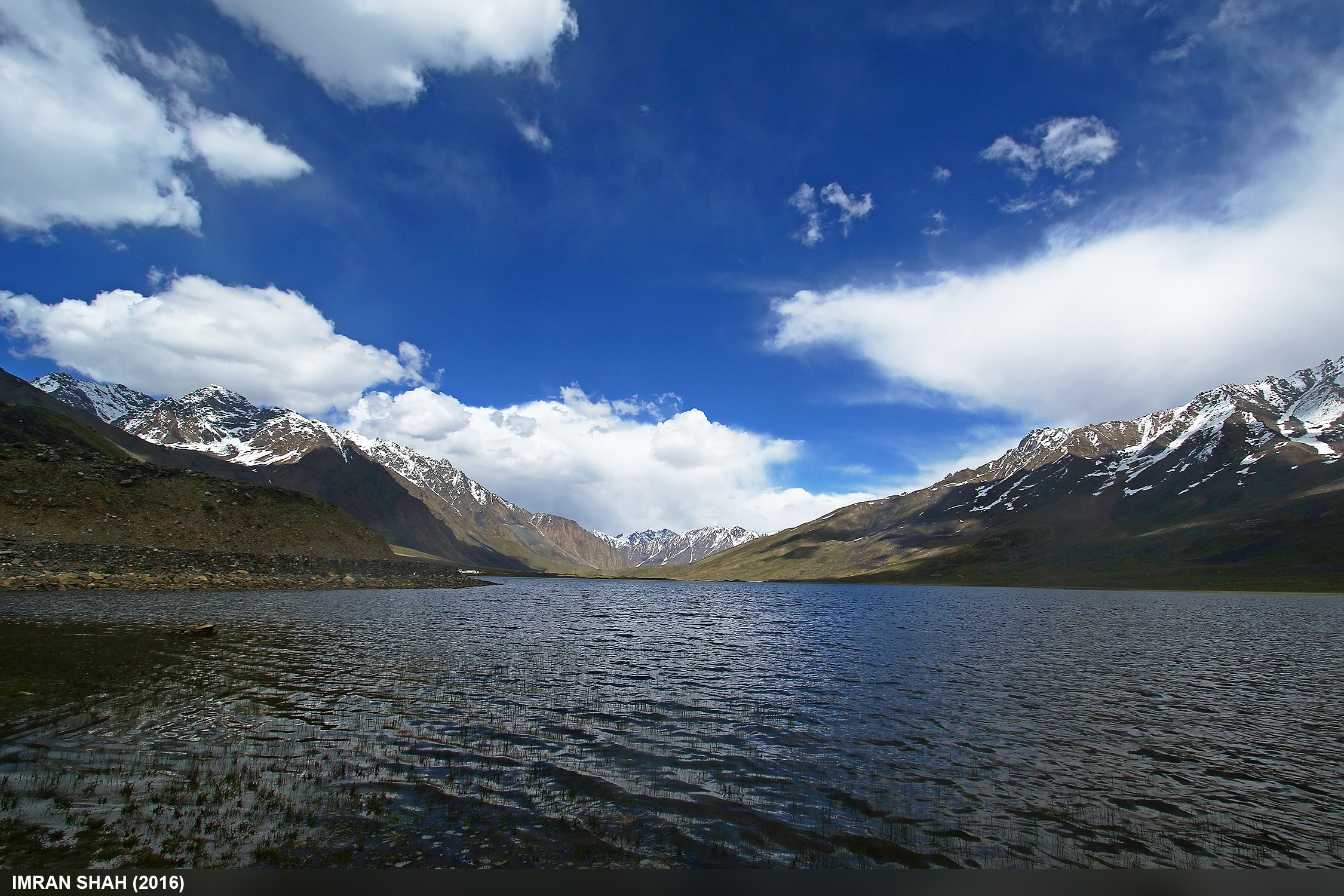
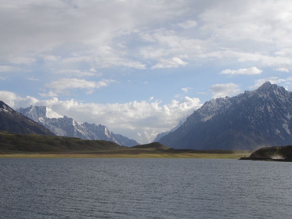
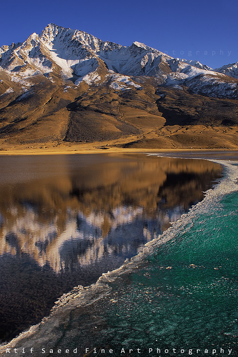
Shandur Lake
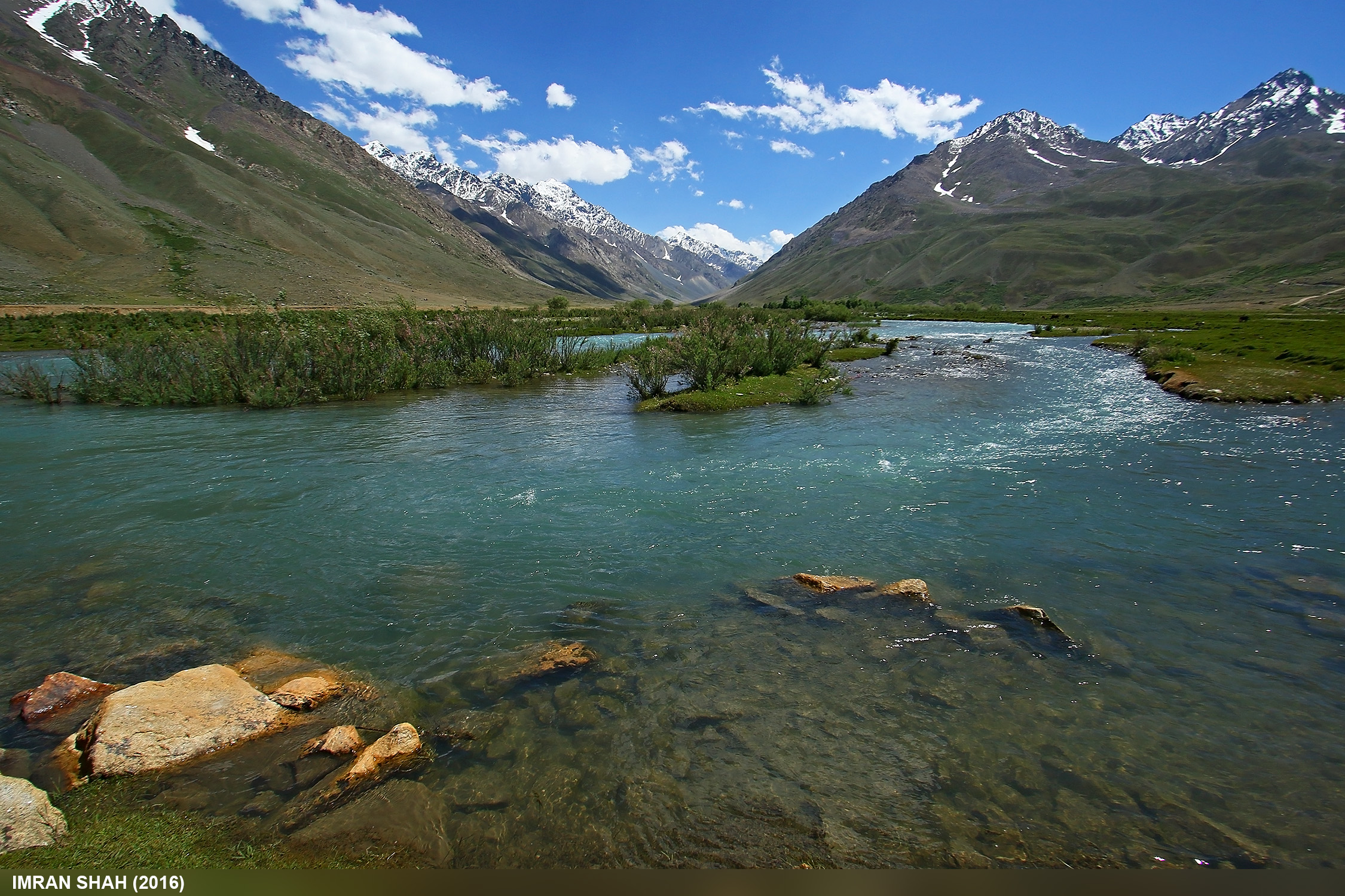
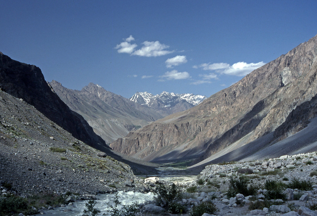
Ghizer/Gilgit River at Langar
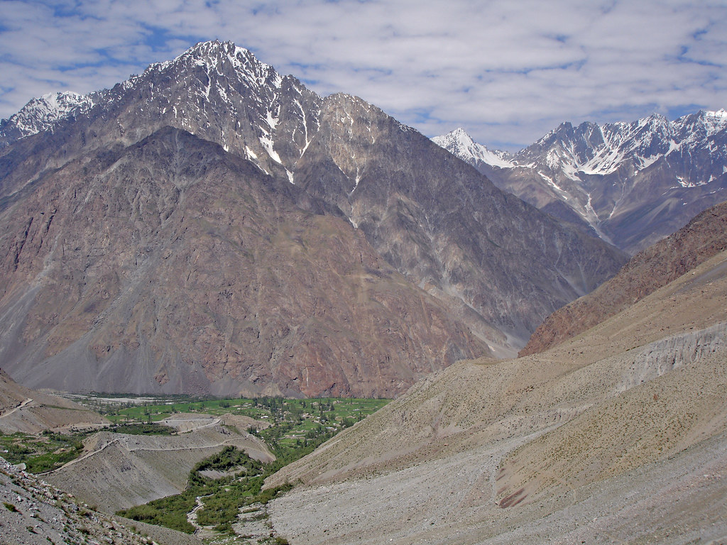
Pak_095 Sor Laspur
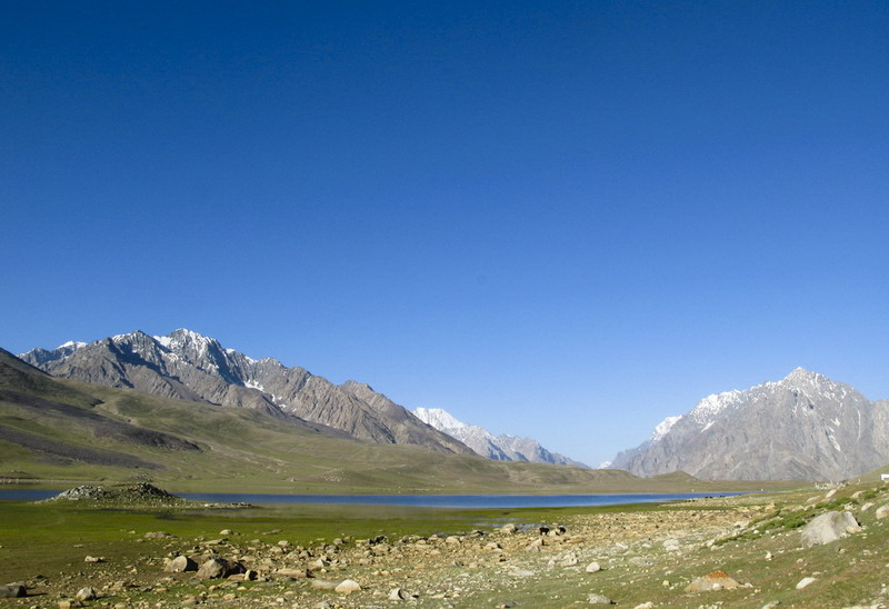
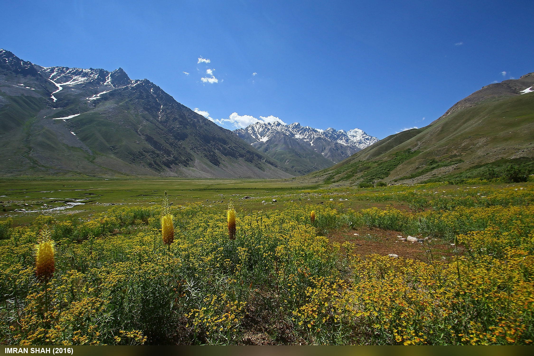
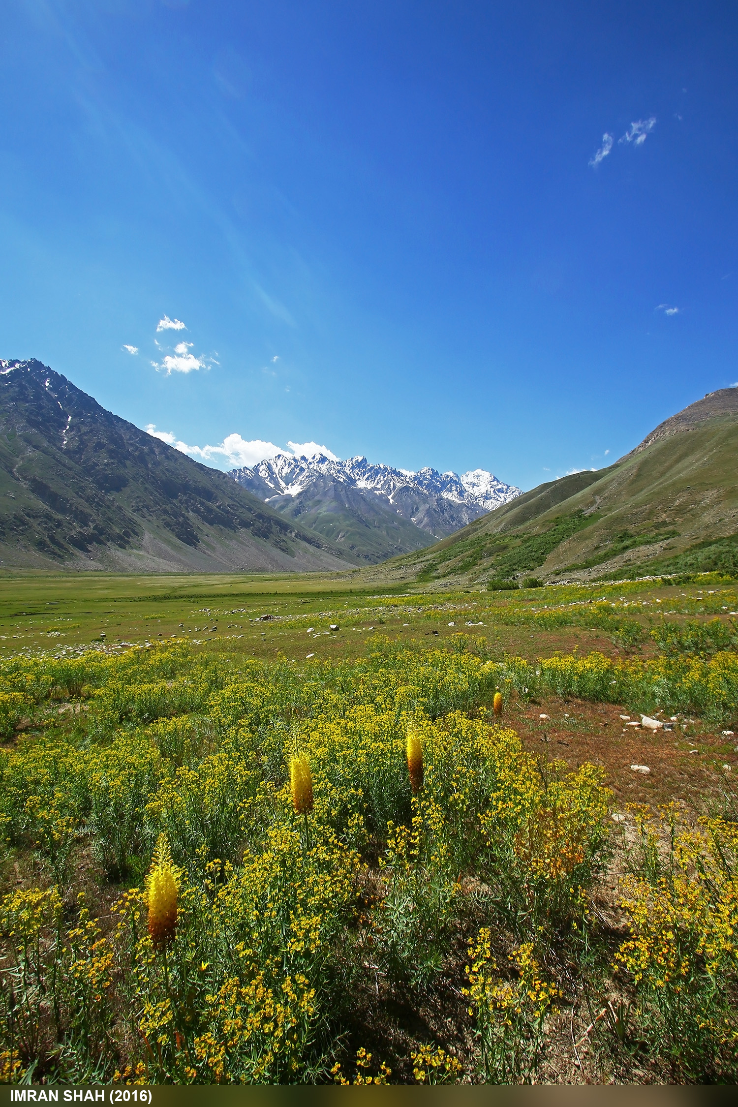
Shandur Pass and the Lake
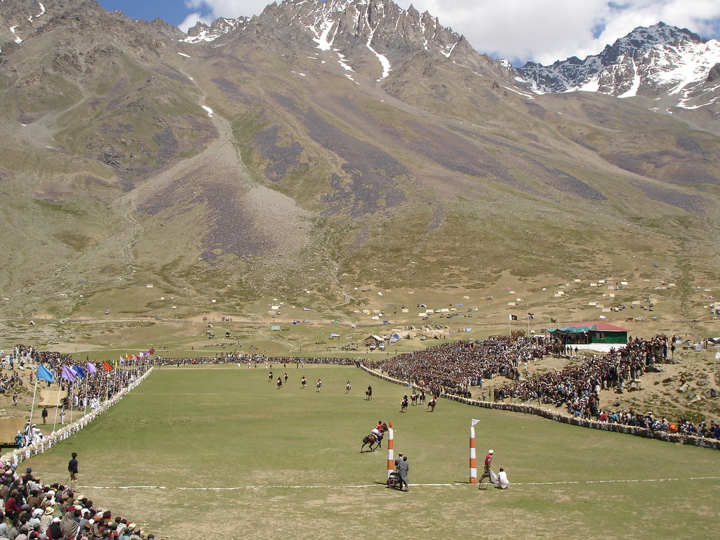
Pak_081 Shandur Polo Festival
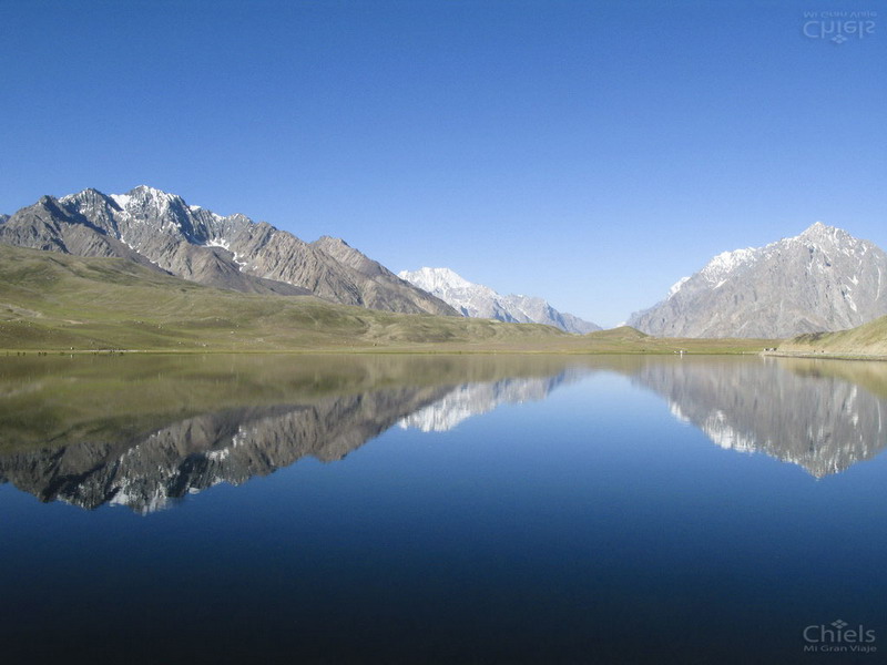
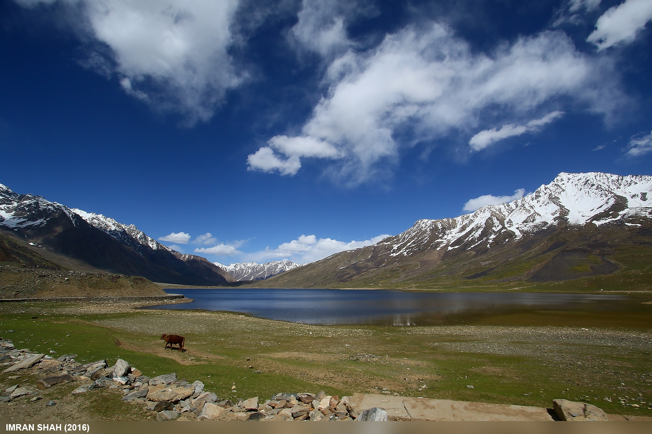
The mirrow-like lake
Topographic Map of شندور، Pakistan
Find elevation by address:

Places near شندور، Pakistan:
Shandur Polo Ground
Shandur
Langar
Baha Chhat Lake
Barsat
Buni Zom
Ambesh
Ishporili Glacier
Hundarap
Ghochhar Sar
Golaghmuli
Booni
Qaqlasht Meadows
Chitral
Mahodand Lake
Uthool
Phander Valley
Phandar Valley
Lake Kharkhari
Phander
Recent Searches:
- Elevation of Tenjo, Cundinamarca, Colombia
- Elevation of Côte-des-Neiges, Montreal, QC H4A 3J6, Canada
- Elevation of Bobcat Dr, Helena, MT, USA
- Elevation of Zu den Ihlowbergen, Althüttendorf, Germany
- Elevation of Badaber, Peshawar, Khyber Pakhtunkhwa, Pakistan
- Elevation of SE Heron Loop, Lincoln City, OR, USA
- Elevation of Slanický ostrov, 01 Námestovo, Slovakia
- Elevation of Spaceport America, Co Rd A, Truth or Consequences, NM, USA
- Elevation of Warwick, RI, USA
- Elevation of Fern Rd, Whitmore, CA, USA