Elevation of / Military Turnpike, West Chazy, NY, USA
Location: United States > New York > Clinton County > Altona >
Longitude: -73.615933
Latitude: 44.823625
Elevation: 290m / 951feet
Barometric Pressure: 98KPa
Elevation Map:
Satellite Map:
Related Photos:
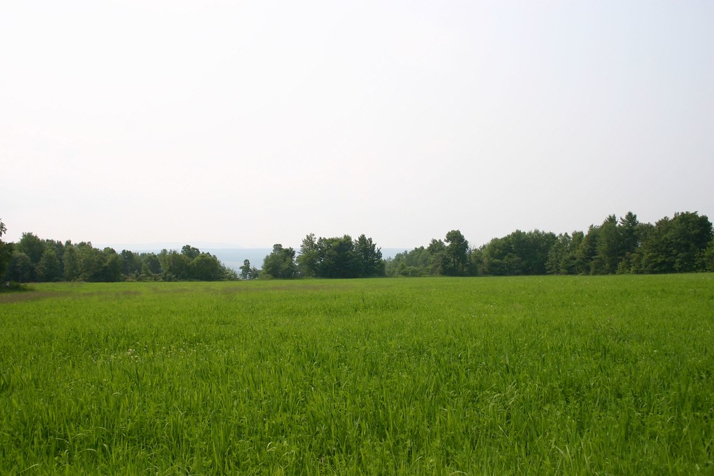
View of Field
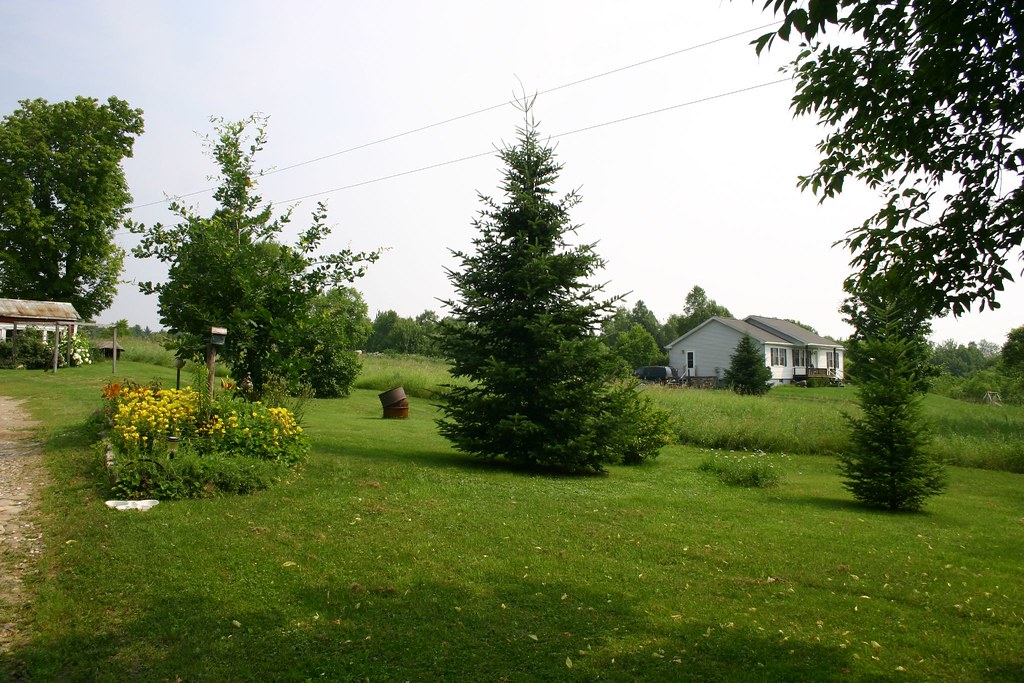
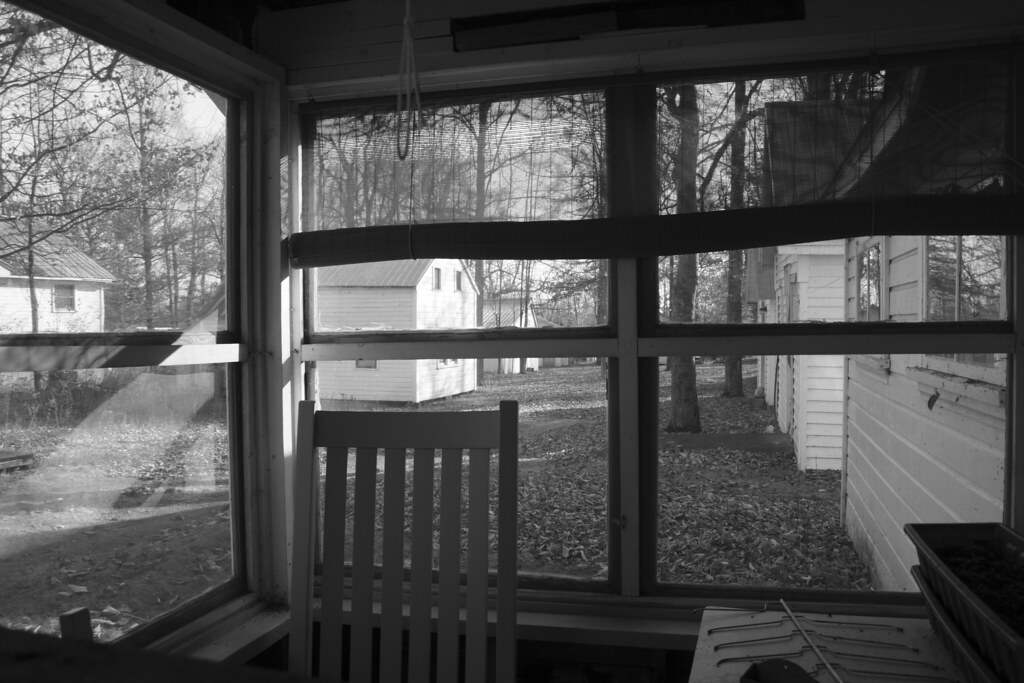
View of neighbors house
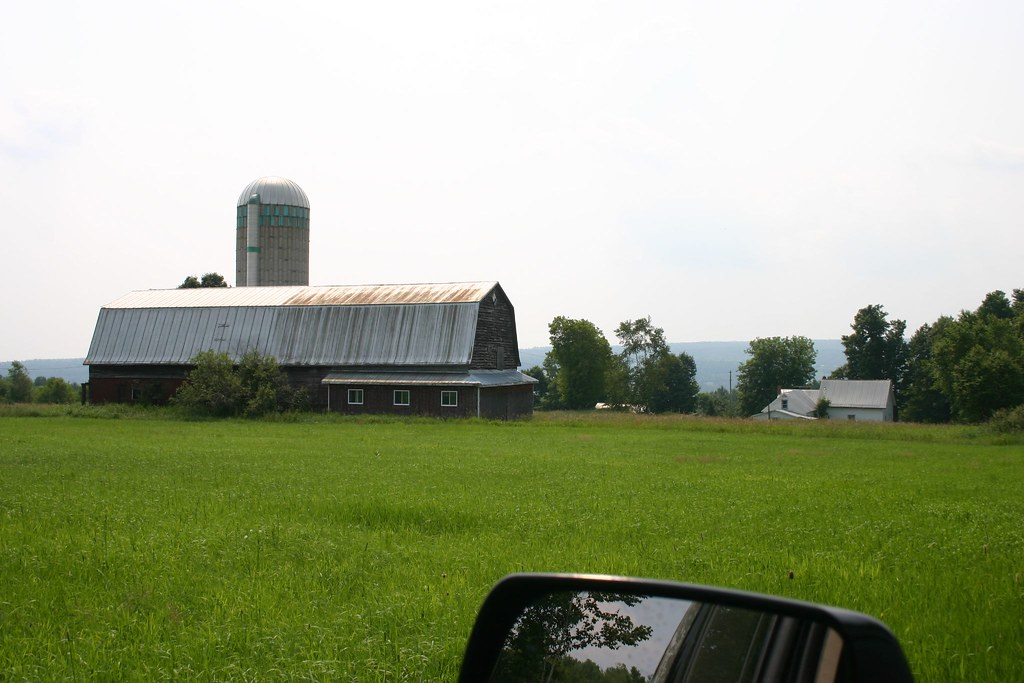
View of Barn
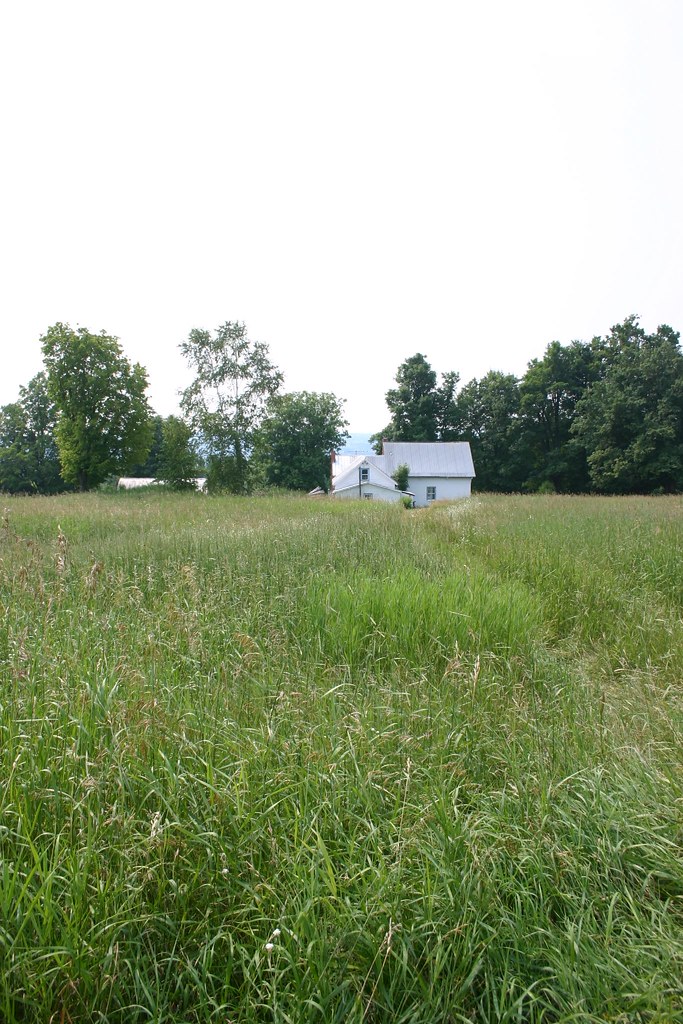
View From Field 1
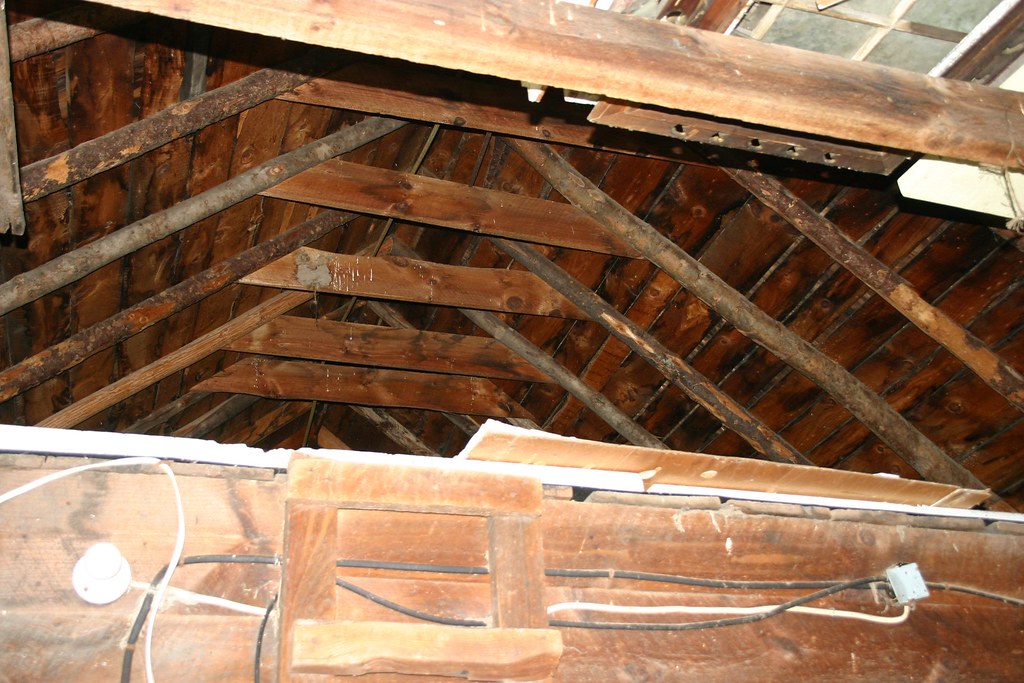
Loft Area
A View I Might Never See Again

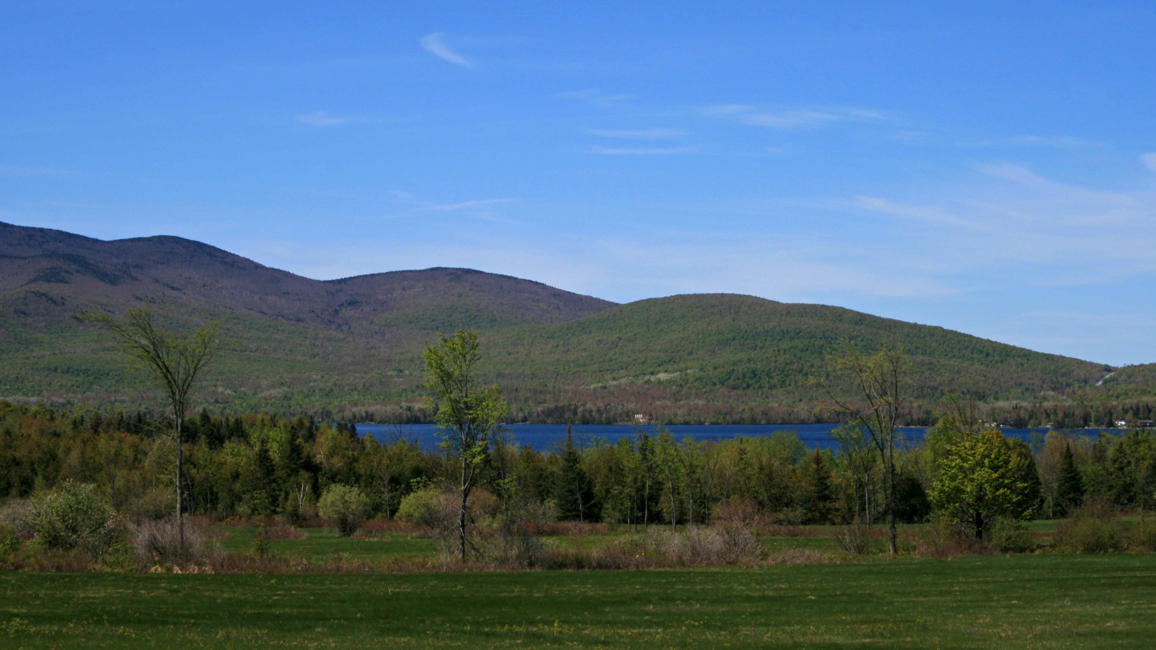
View of Lake Champlain and Vermont
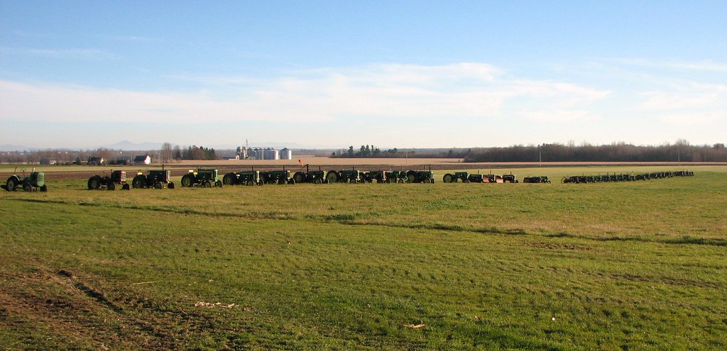
Deere grazing in the field

good morning champlain
good morning champlain

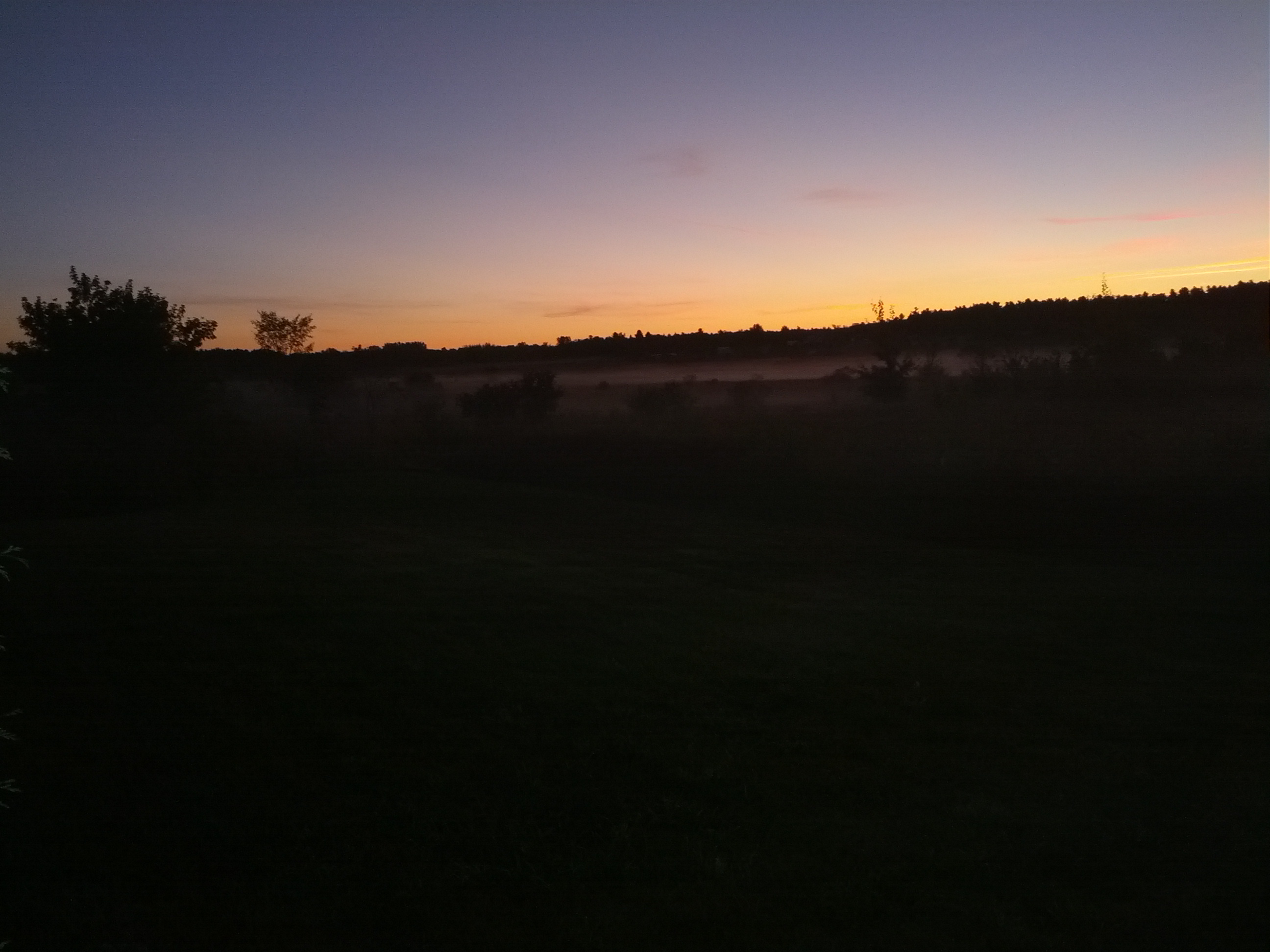
another beautiful sunrise in champlain ny
Approaching Lake Chazy

En route
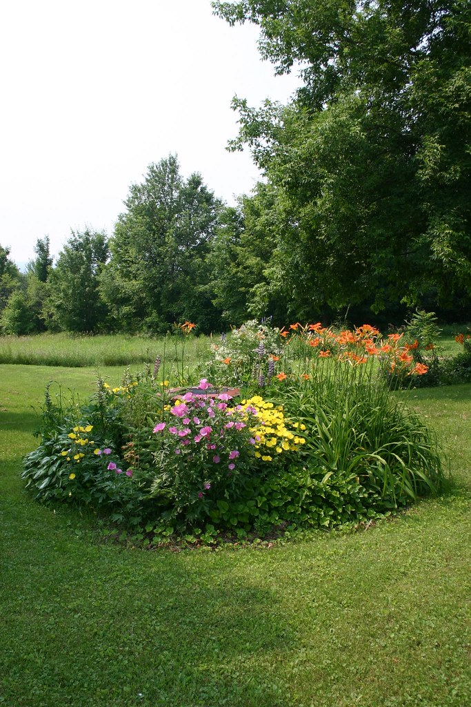
Flower Bed hiding septic tank access
#homelove ????????????

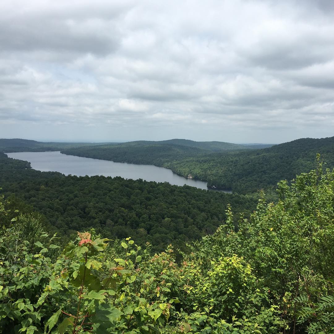
Chazy Lake; New York
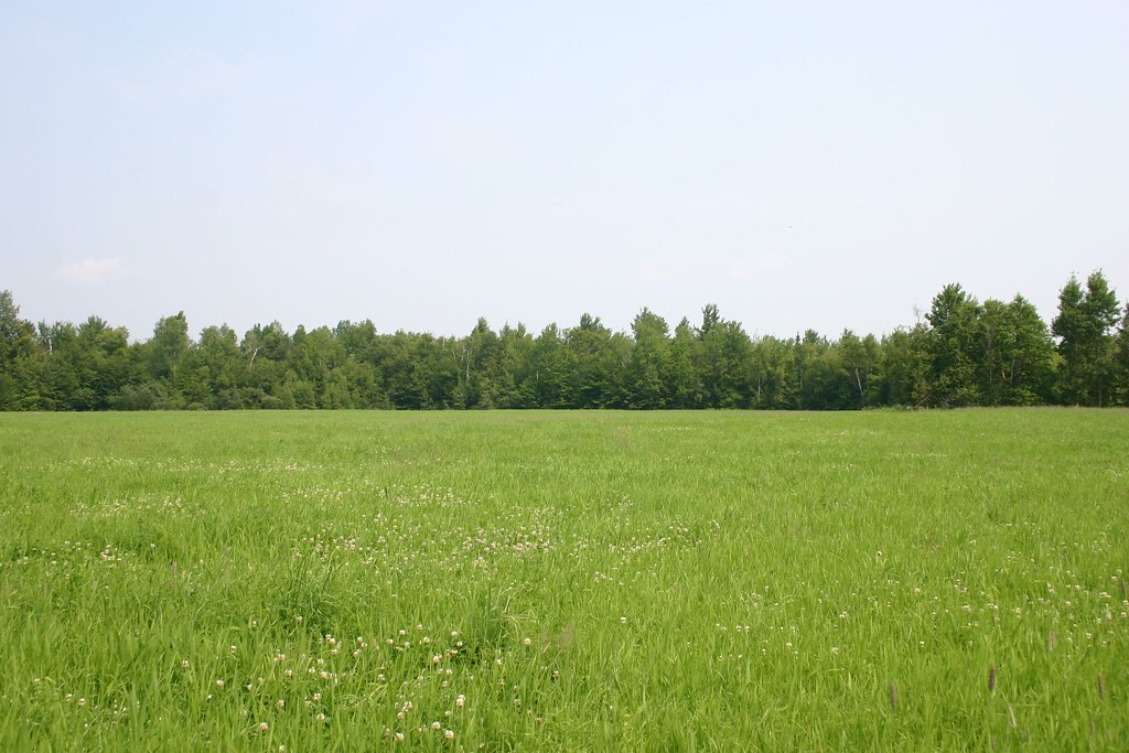
Field and Forest
Topographic Map of / Military Turnpike, West Chazy, NY, USA
Find elevation by address:

Places near / Military Turnpike, West Chazy, NY, USA:
Clinton County
Murtagh Hill Road
Rand Hill Road
15 Haymeadow Rd
161 Agnew Rd
Beartown Road
60 Agnew Rd
Co Rd 26, West Chazy, NY, USA
906 Jersey Swamp Rd
906 Jersey Swamp Rd
890 Jersey Swamp Rd
856 Jersey Swamp Rd
Beekmantown
West Chazy
Rand Hill Rd, Morrisonville, NY, USA
Cadyville
94 Rabideau St, Cadyville, NY, USA
61 Ashton Dr
4058 Ny-22
NY-22, Plattsburgh, NY, USA
Recent Searches:
- Elevation of Kambingan Sa Pansol Atbp., Purok 7 Pansol, Candaba, Pampanga, Philippines
- Elevation of Pinewood Dr, New Bern, NC, USA
- Elevation of Mountain View, CA, USA
- Elevation of Foligno, Province of Perugia, Italy
- Elevation of Blauwestad, Netherlands
- Elevation of Bella Terra Blvd, Estero, FL, USA
- Elevation of Estates Loop, Priest River, ID, USA
- Elevation of Woodland Oak Pl, Thousand Oaks, CA, USA
- Elevation of Brownsdale Rd, Renfrew, PA, USA
- Elevation of Corcoran Ln, Suffolk, VA, USA