Elevation of - McCarthy Rd, Hohenwald, TN, USA
Location: United States > Tennessee > Lewis County > Hohenwald >
Longitude: -87.424739
Latitude: 35.571119
Elevation: 186m / 610feet
Barometric Pressure: 99KPa
Elevation Map:
Satellite Map:
Related Photos:

wish you were here.
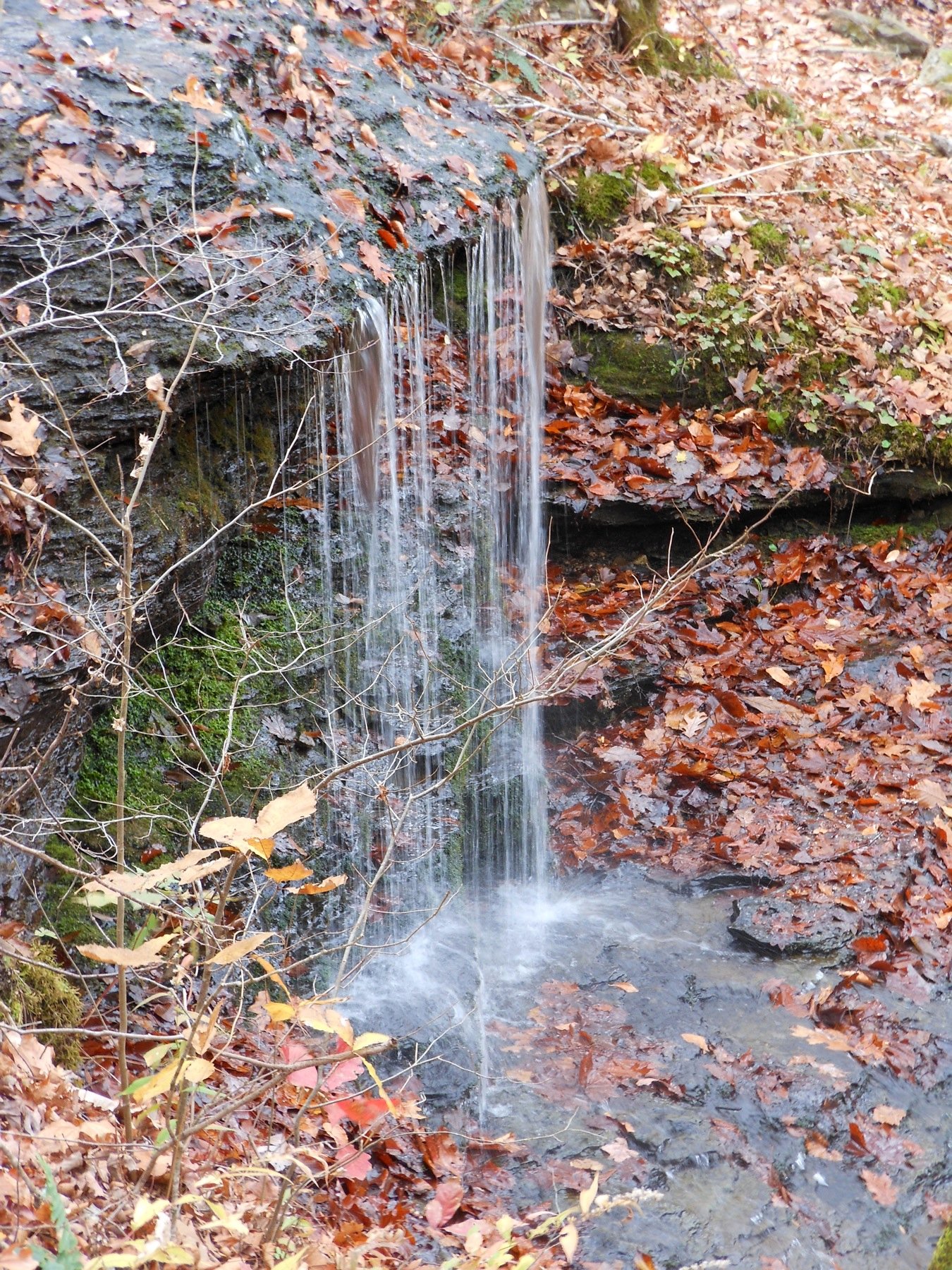
Fall Hollow photo #2
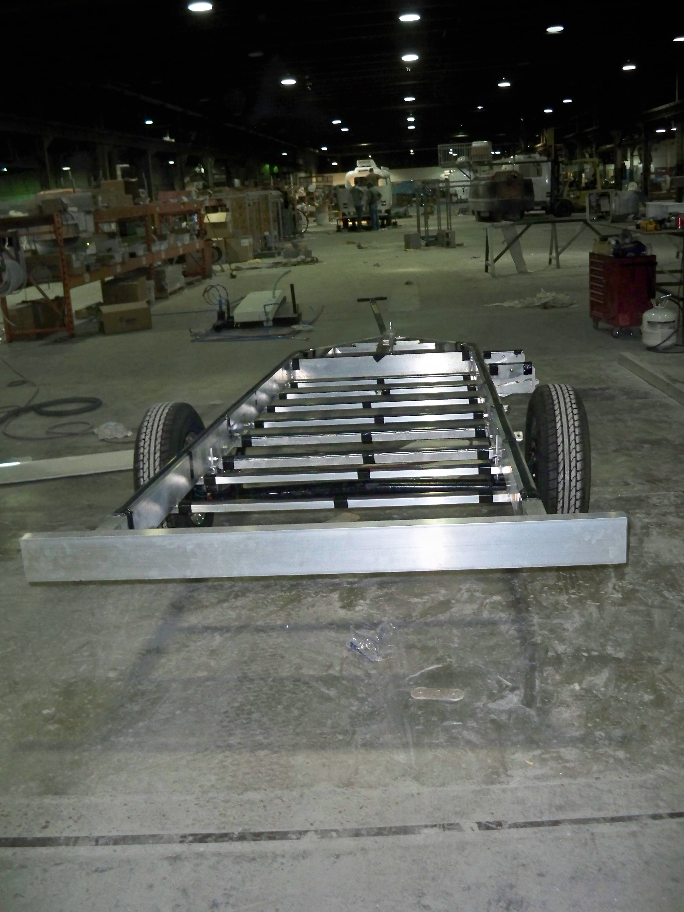
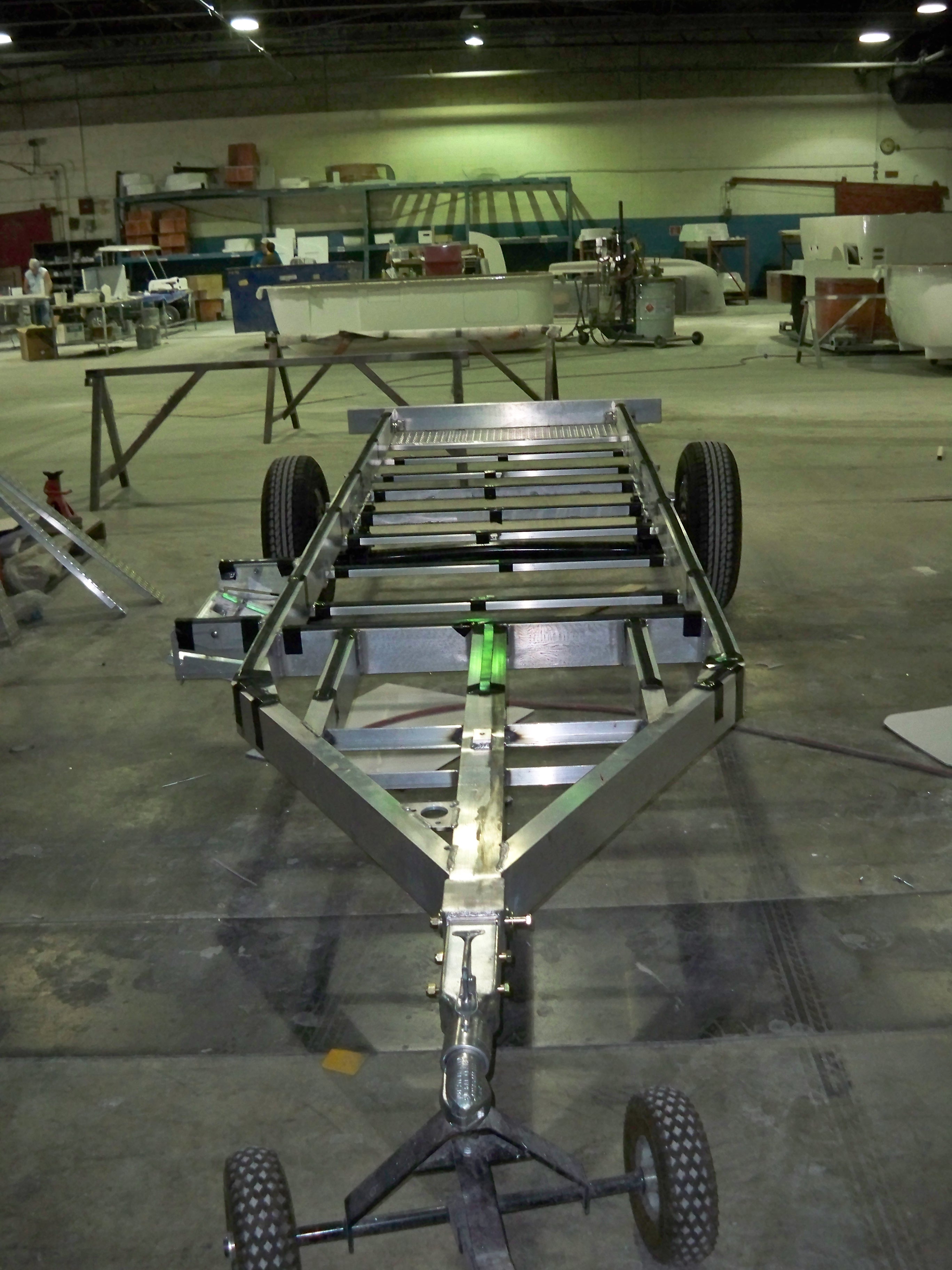
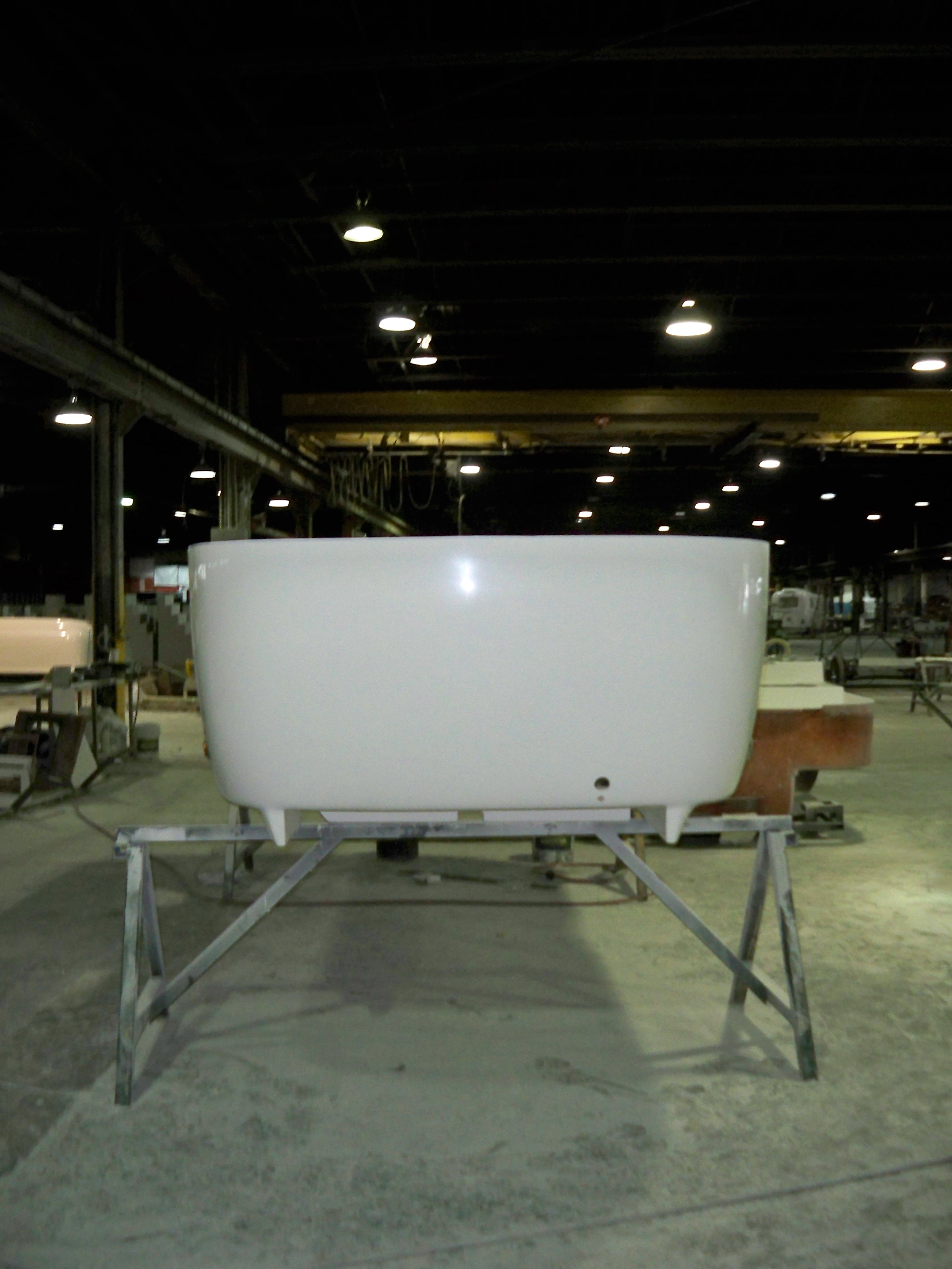
Oliver Frame - Back View
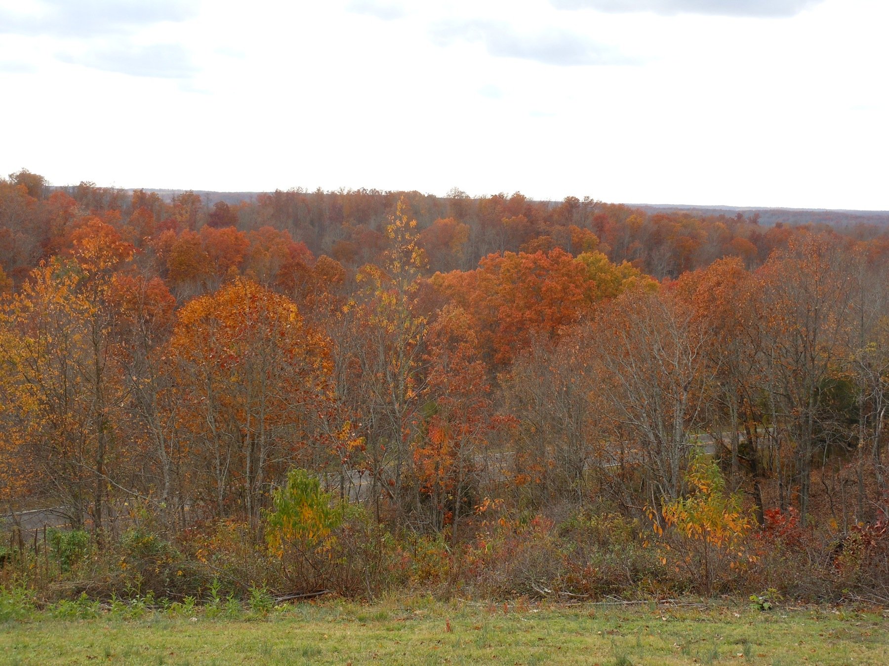
Natchez Trace - Fall 2011
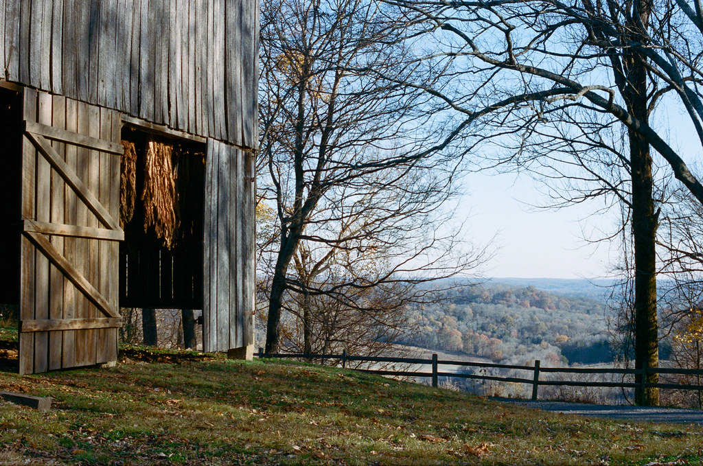
Barn with a View
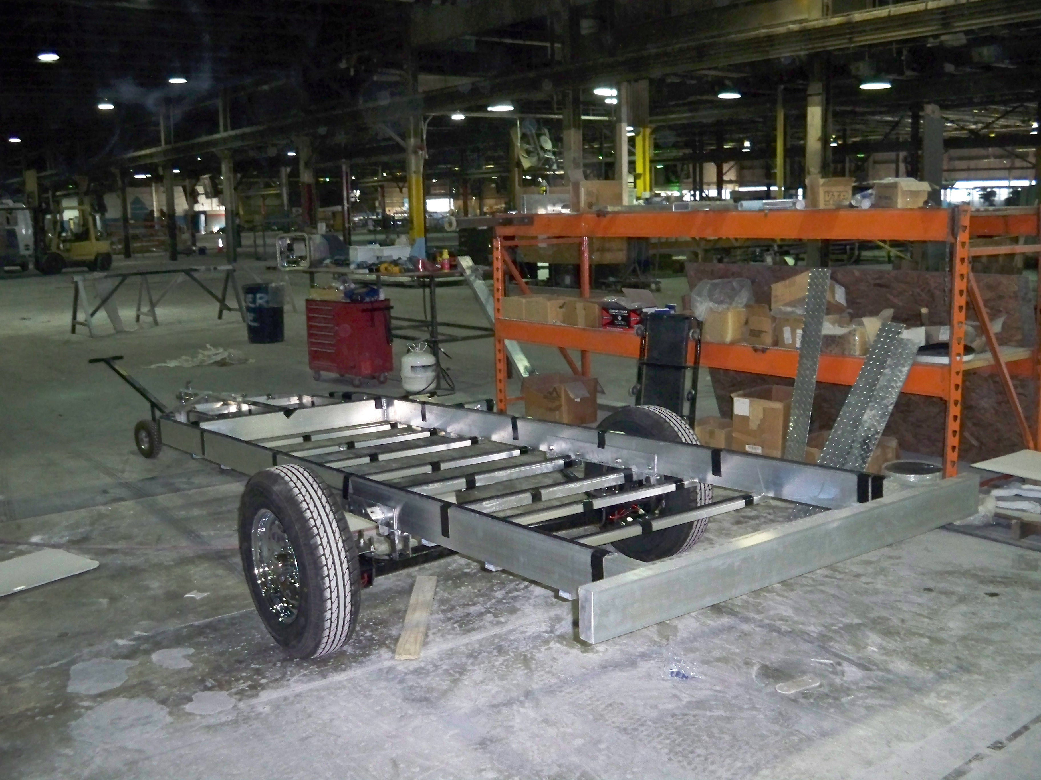
Oliver Frame - Angle View
Oliver Frame - Front View
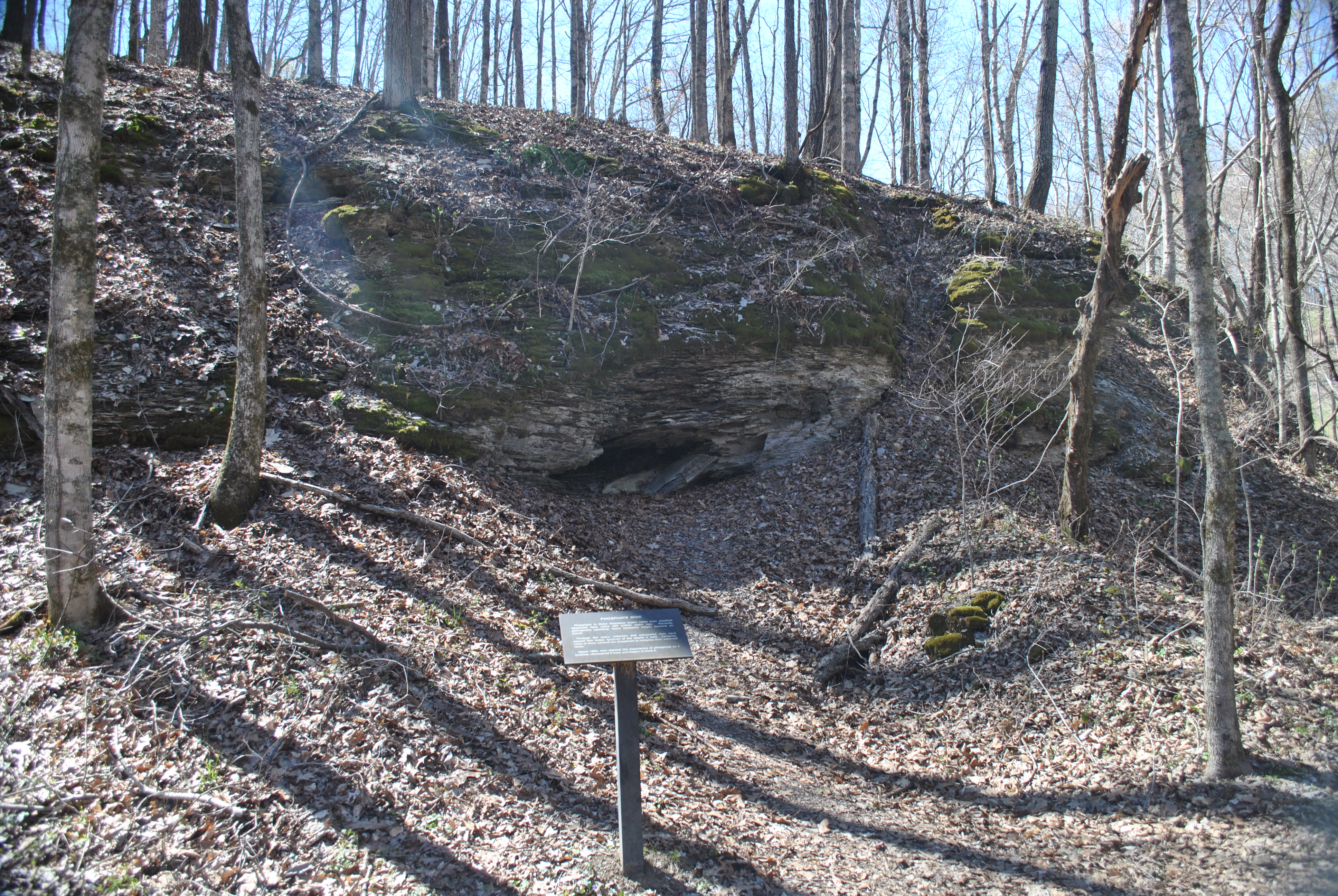
Phosphate Mine
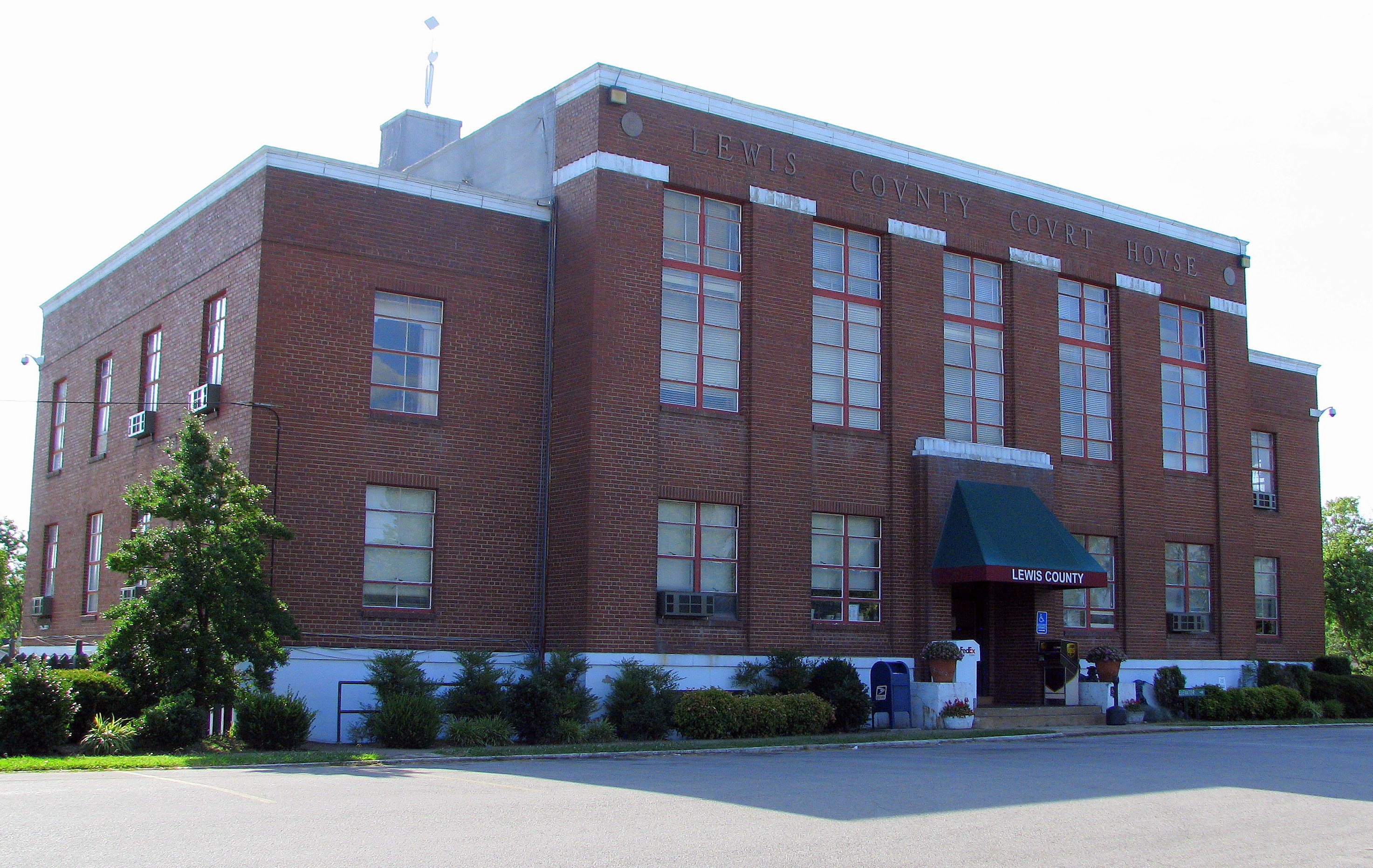
Lewis County Courthouse #2 - Hohenwald, TN
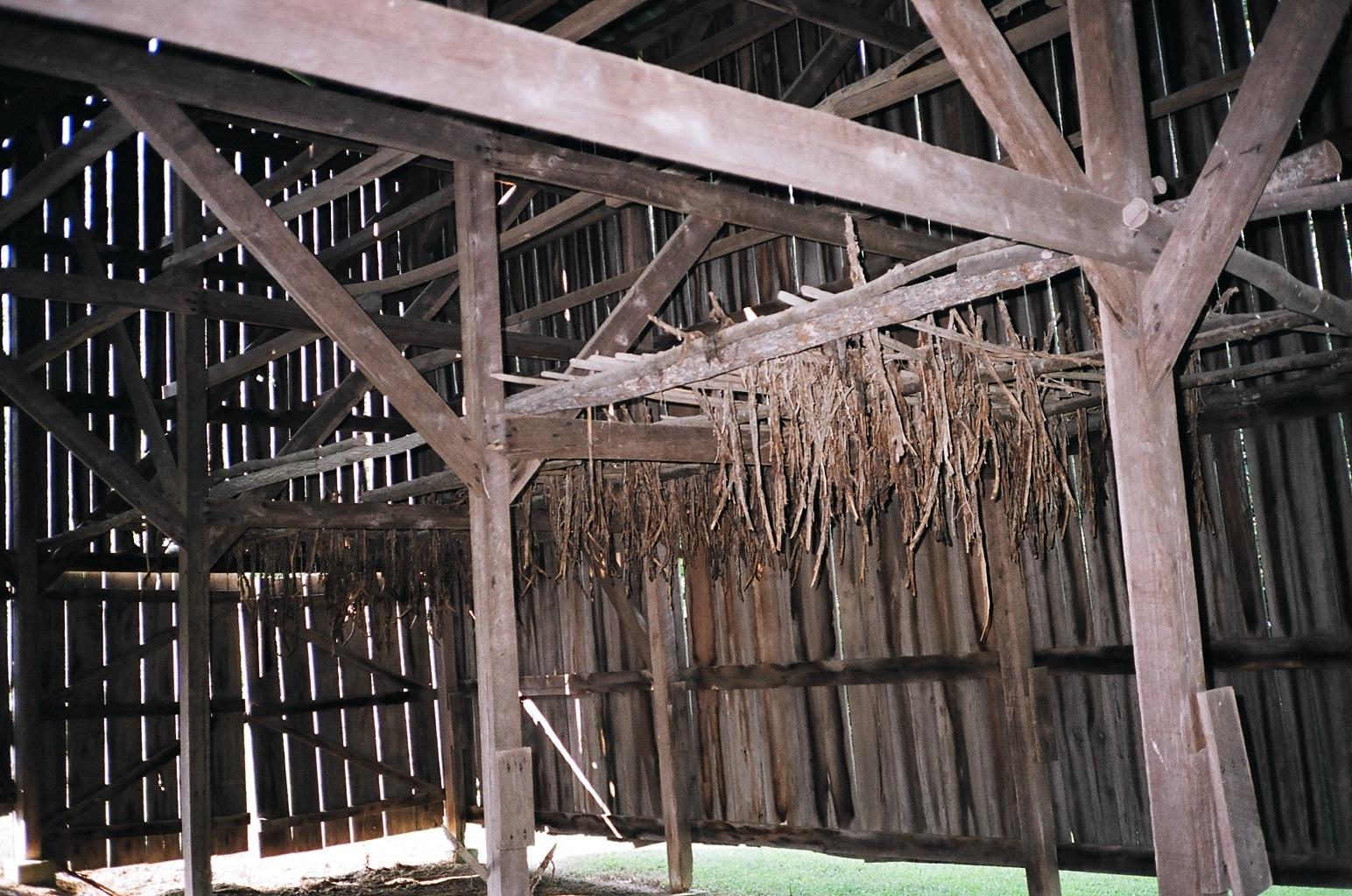
A view inside the Tobacco Barn
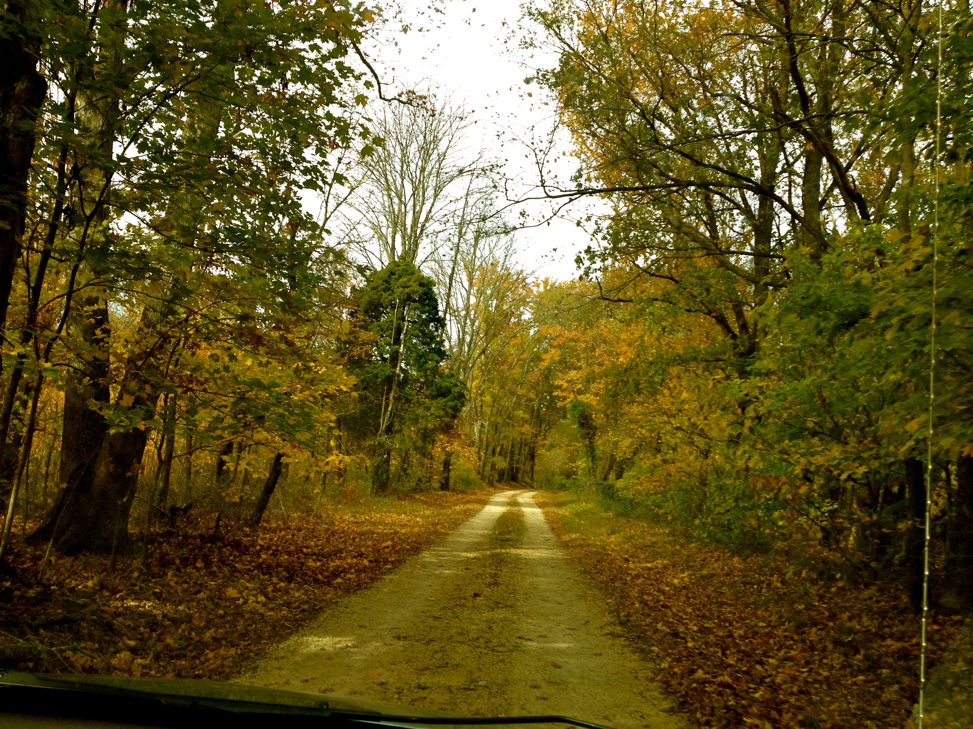
Natchez Trace - Fall 2011
Outside Bottom Shell - Front
Outside Top Shell
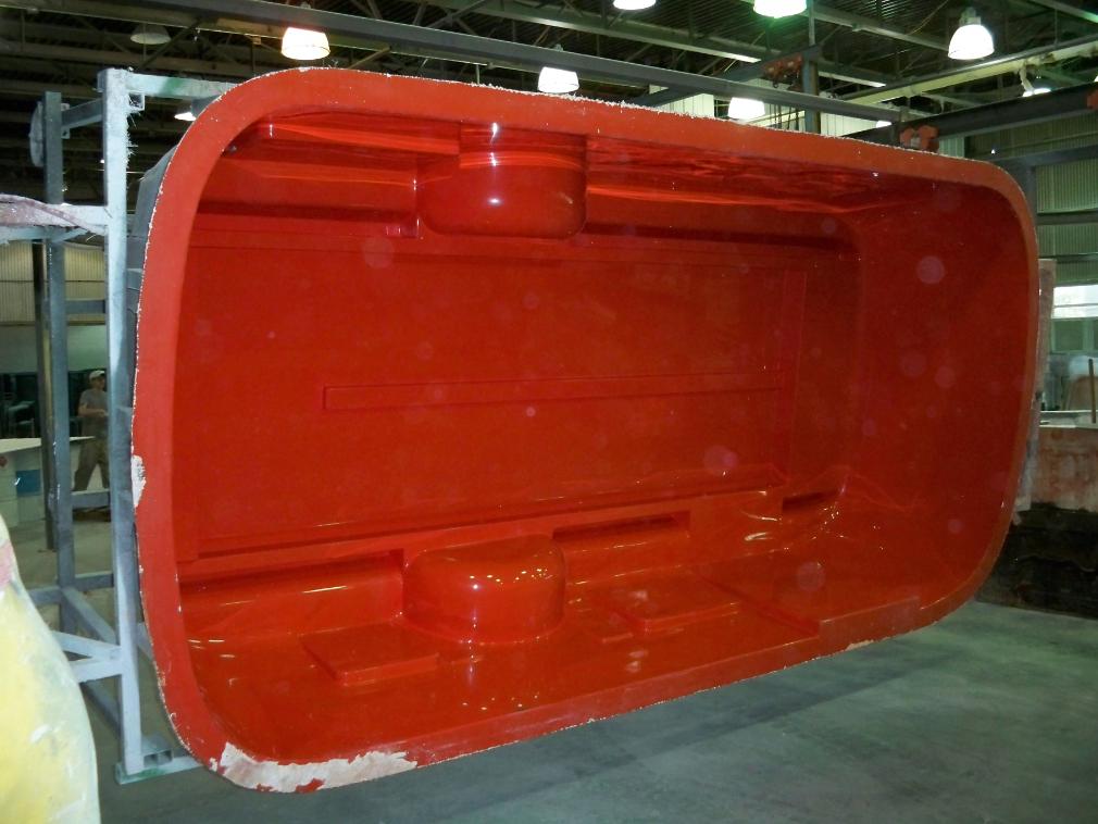
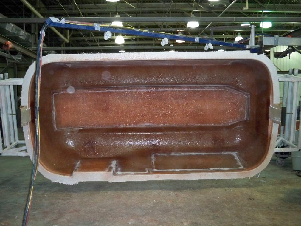
Outside Bottom Shell
Don't Bother Me ... I'm working
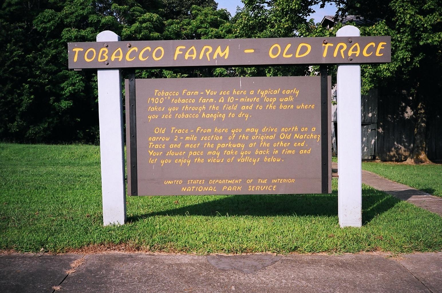
Tobacco Farm - Old Trace
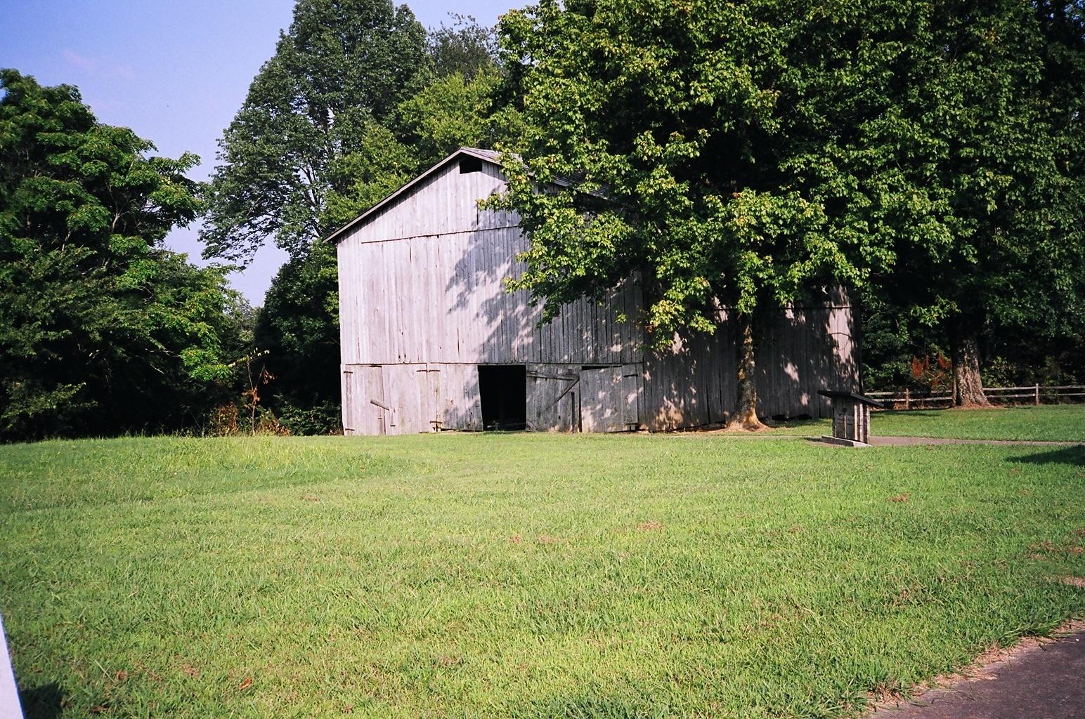
A view of the Tobacco Barn
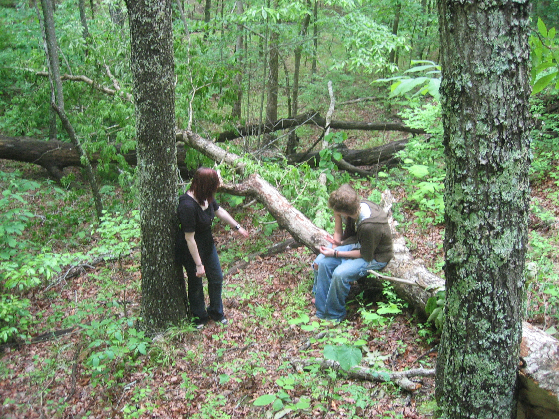
View from a tree
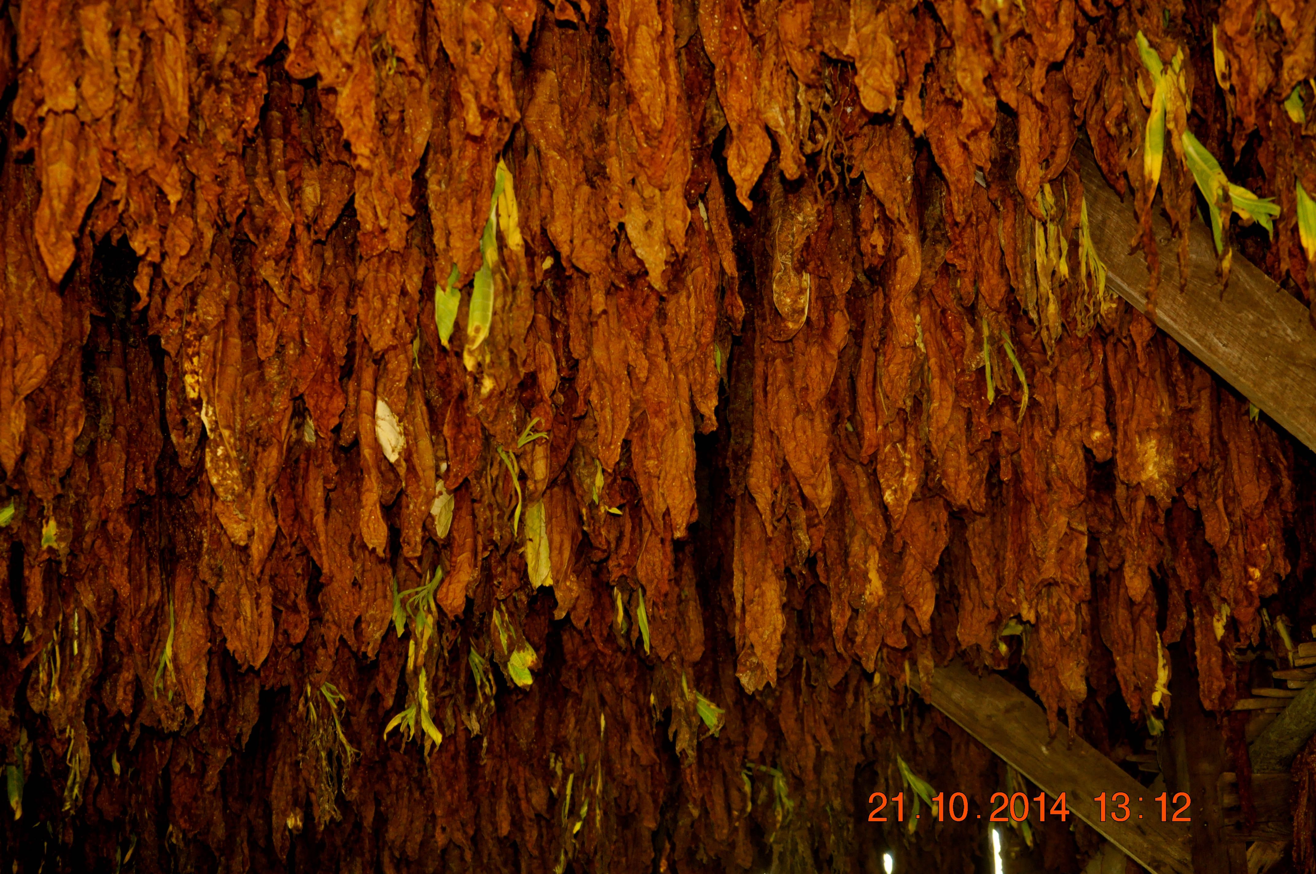
2014 October 21 The Tobacco Barn and Tobacco
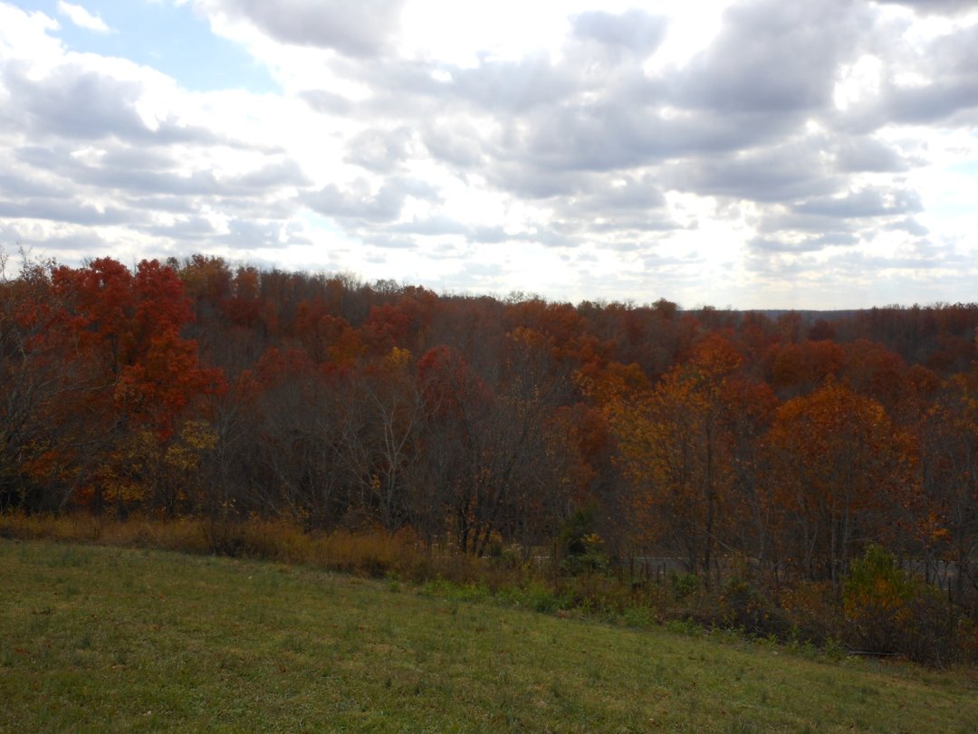
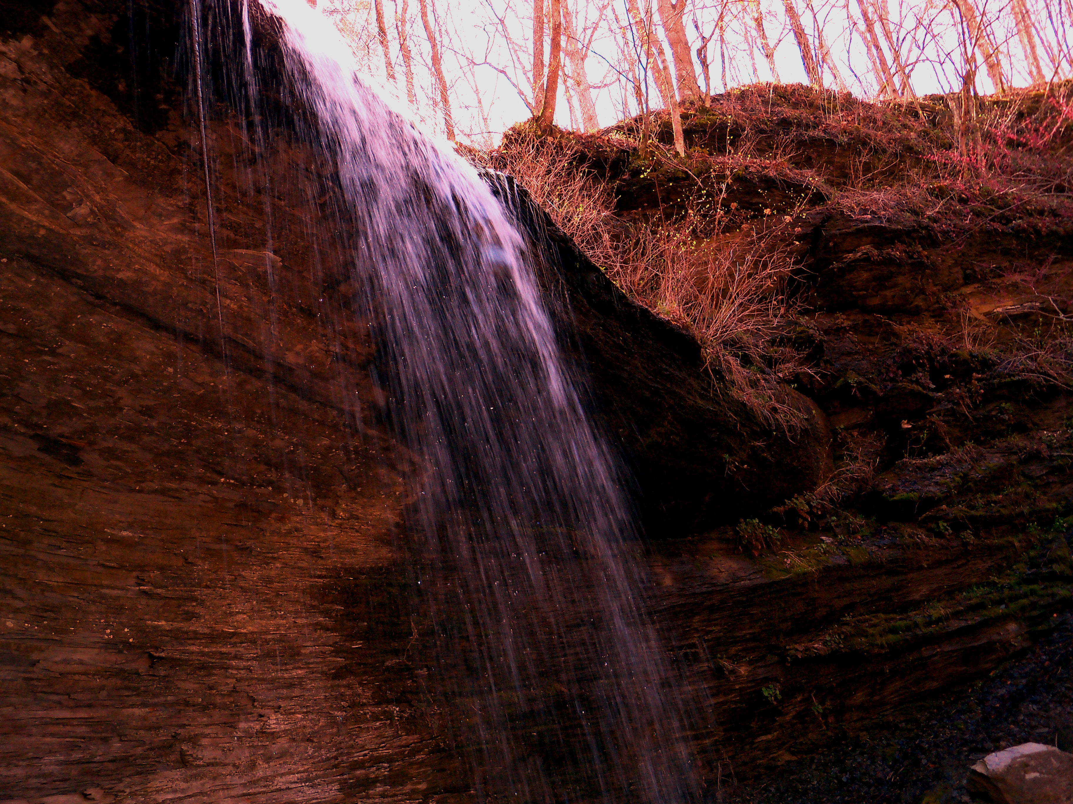
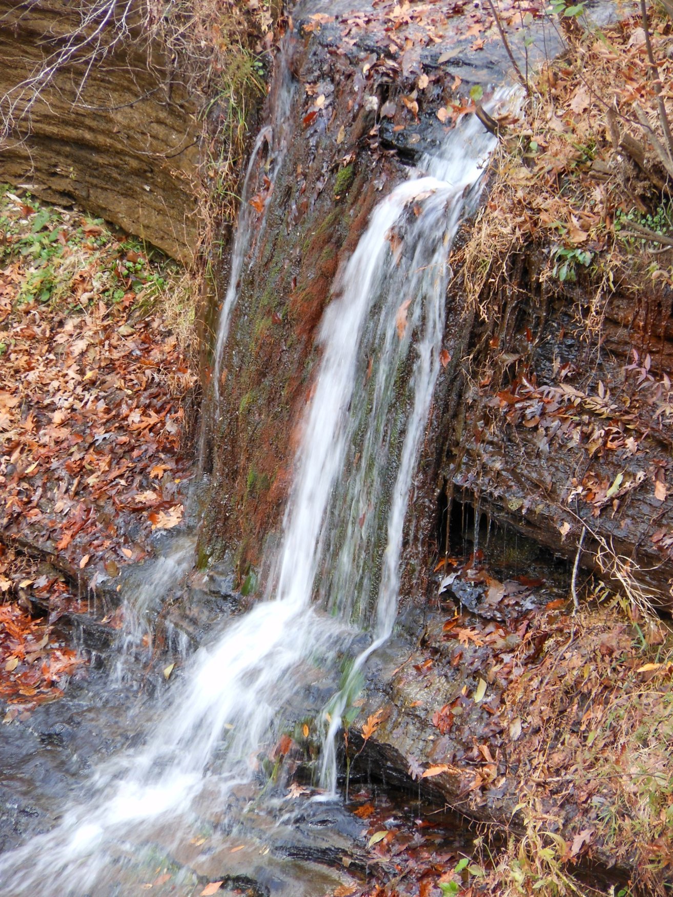
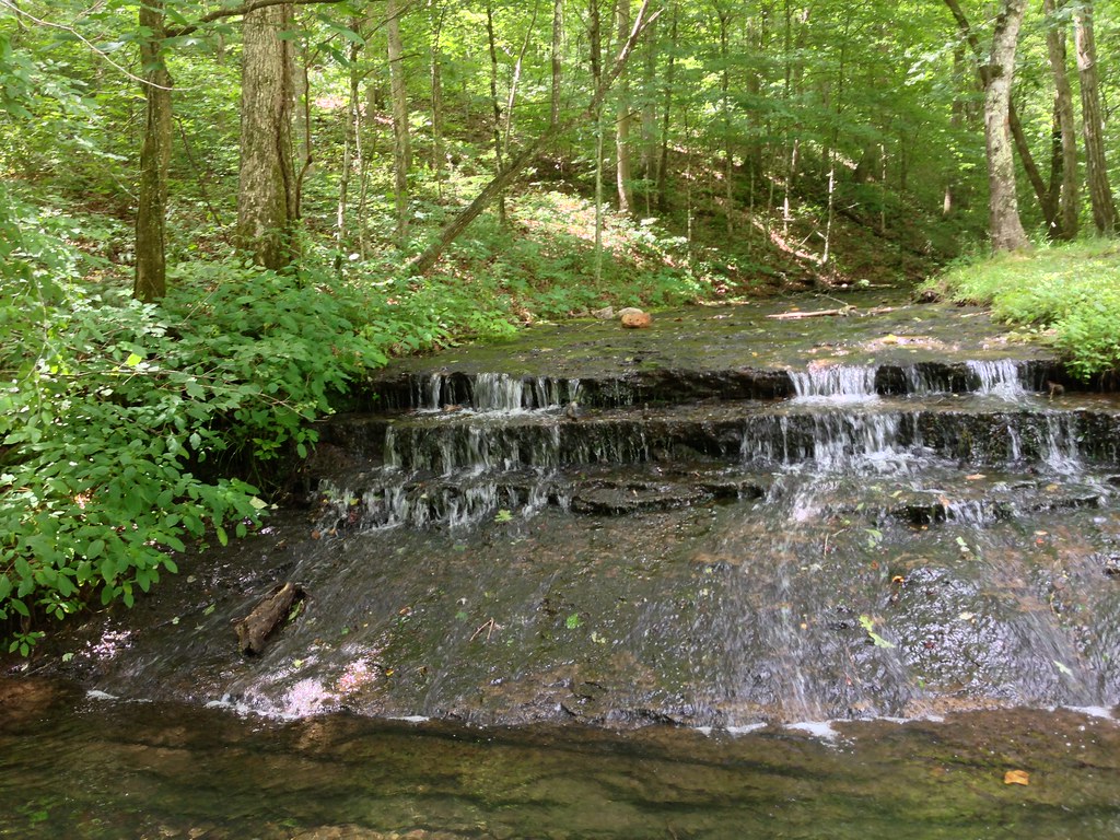
Fall colors at Fall Hollow trail
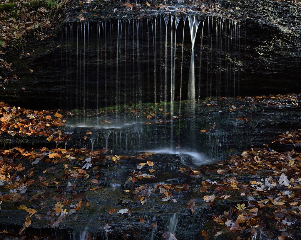
fall hollow

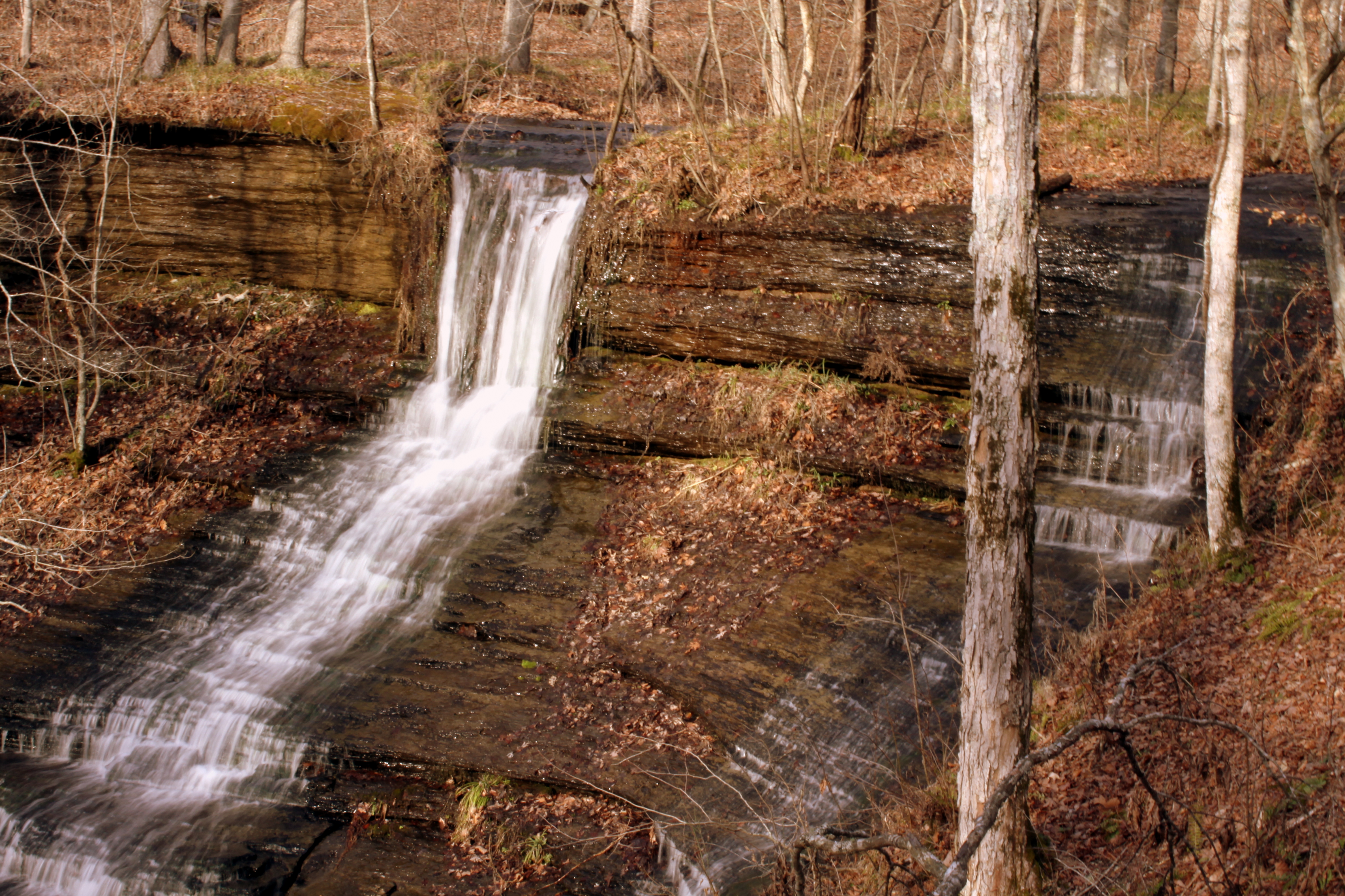
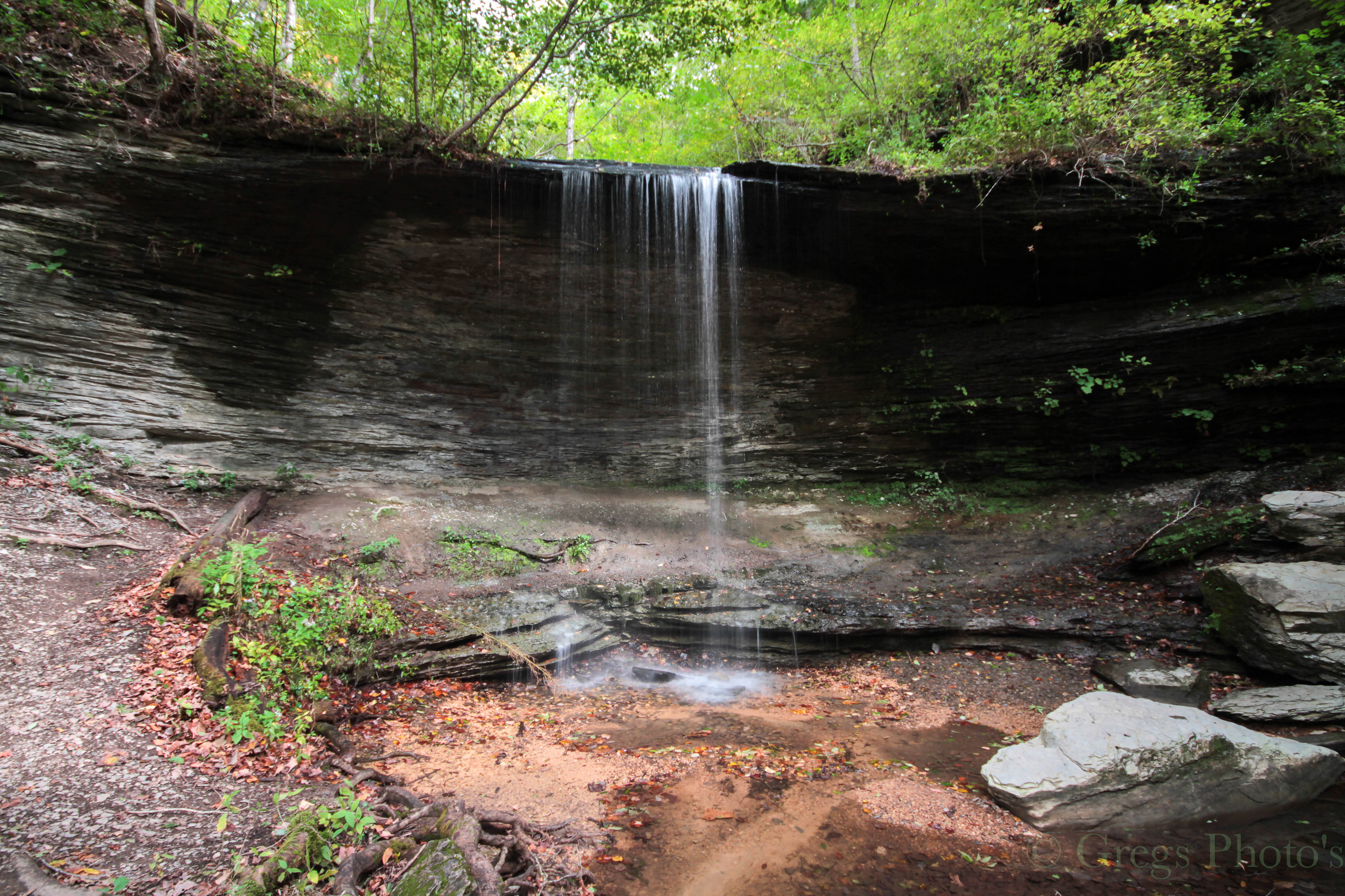
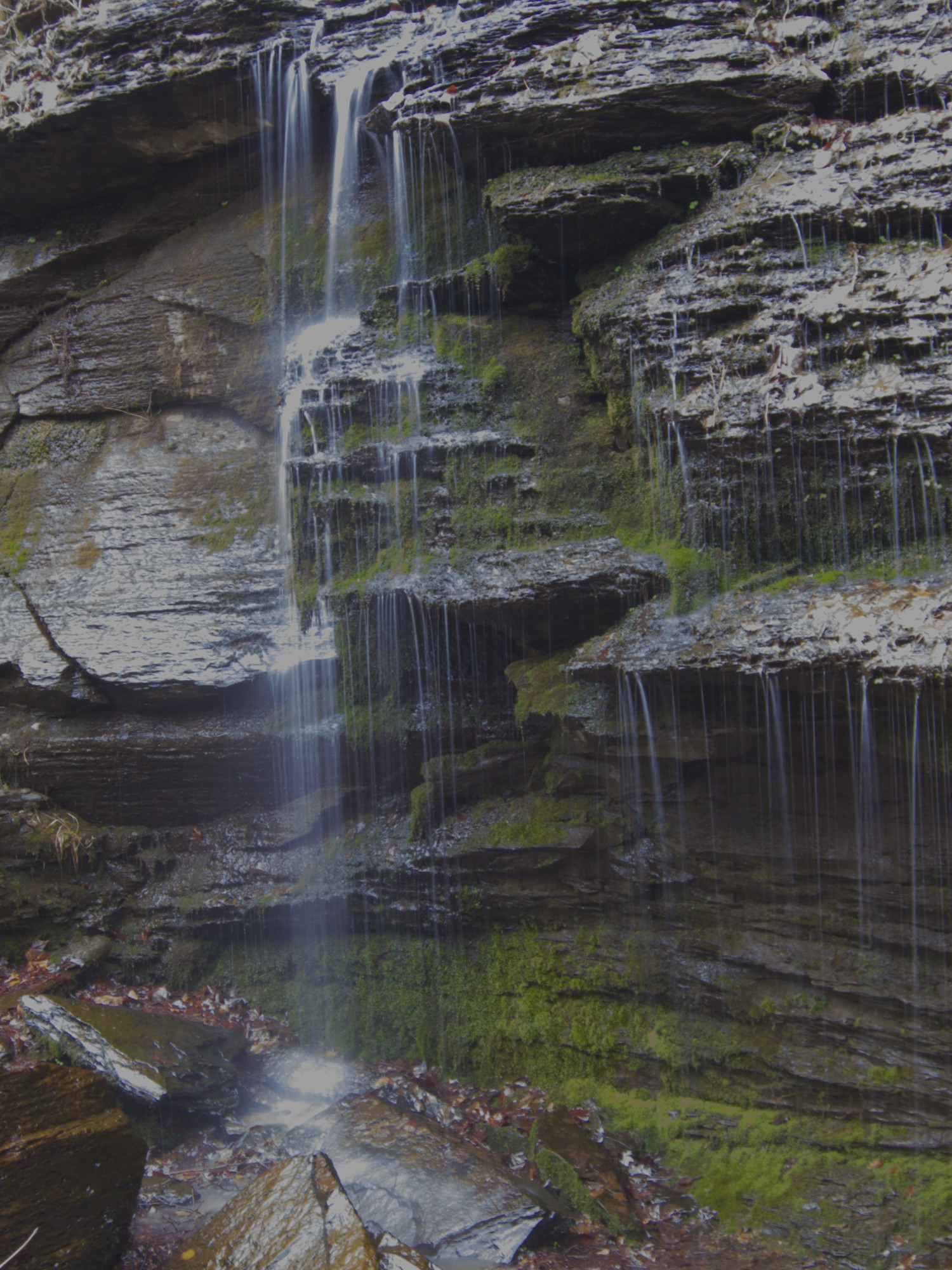
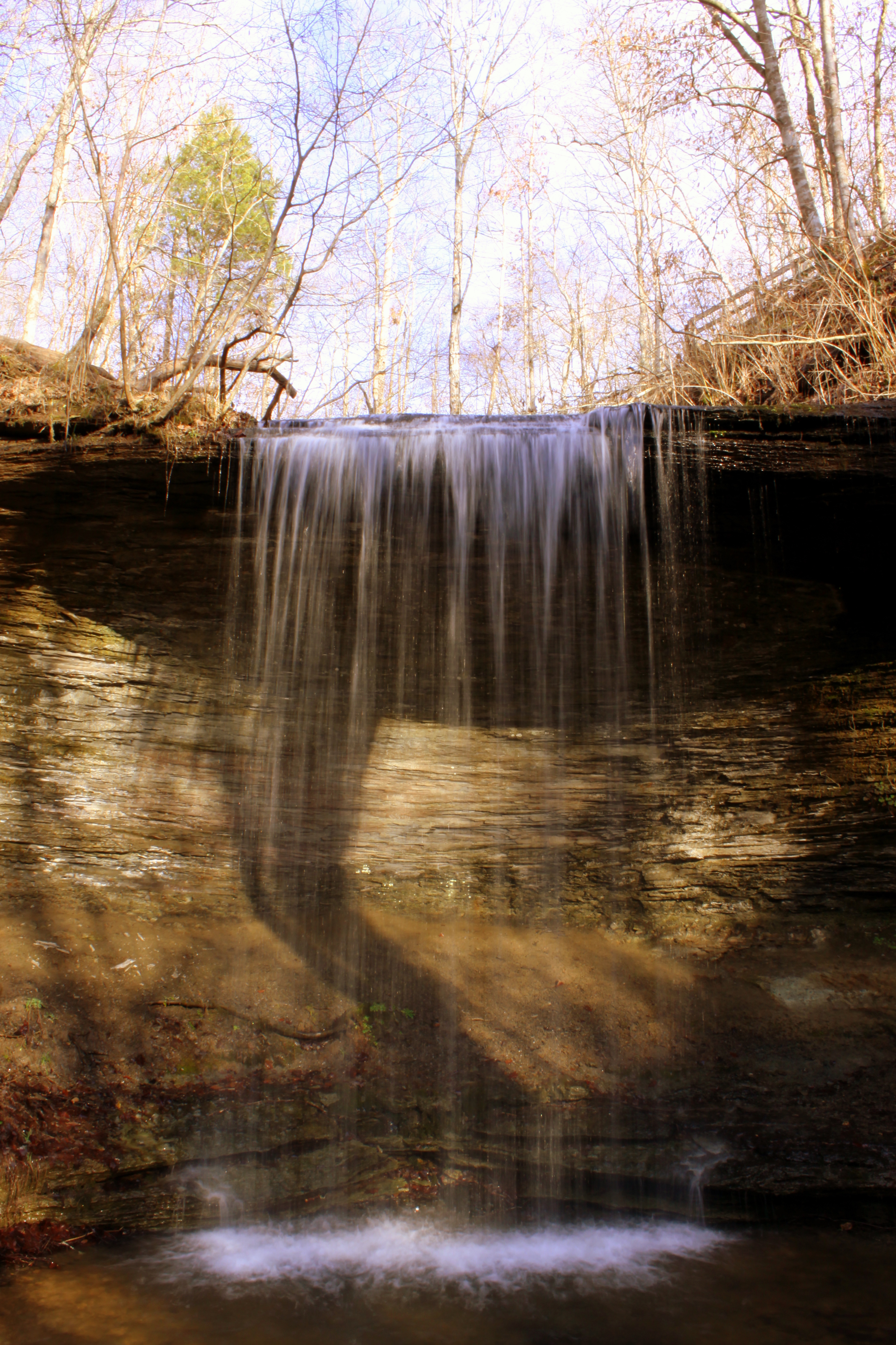
Fall Hallow Falls
Old Trace Near Tobacco Farm In Hampshire Tn
Fall Hollow,Natchez Trace

Night Sky over Old Natchez Trace
Natchez Trace - Fall 2011
Natchez Trace - Fall 2011

Fall Hallow Falls

Fall Hallow Falls

Fall Hallow Falls

Fall Hallow Falls
Falls along the Natchez Trace
2013-07-15 11.10.04
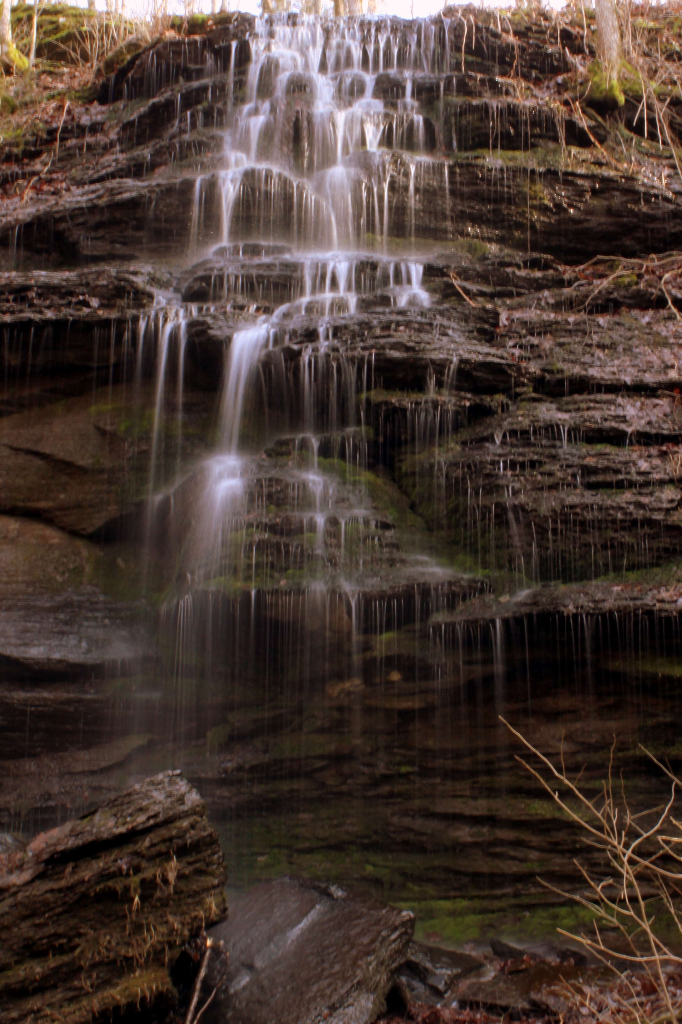
Fall Hollow photo #3
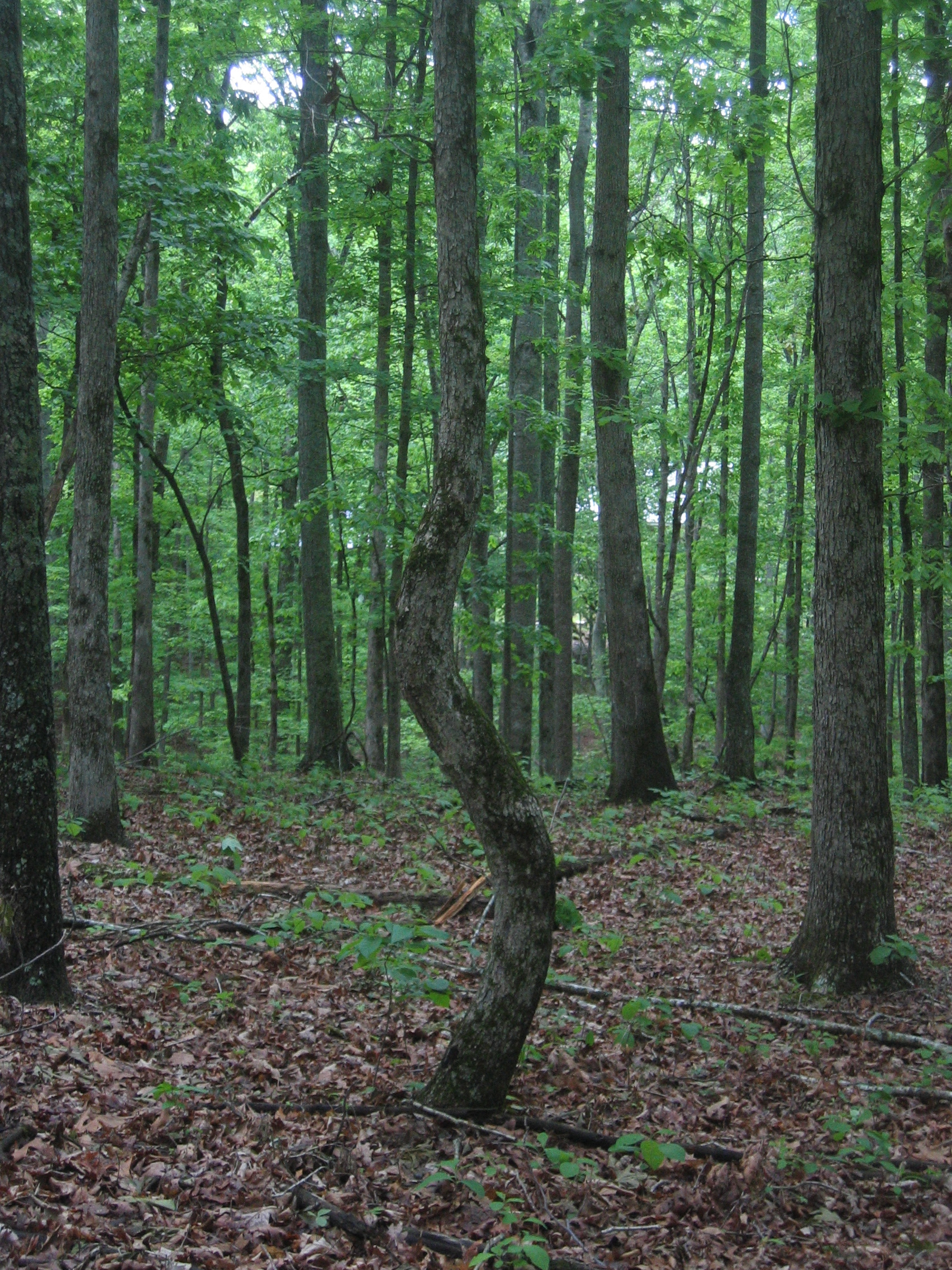
Squiggly tree again

Fall Hallow Falls
Fall Hollow photo #1
Topographic Map of - McCarthy Rd, Hohenwald, TN, USA
Find elevation by address:

Places near - McCarthy Rd, Hohenwald, TN, USA:
Lewis County
Swan Creek Rd, Centerville, TN, USA
TN-48, Centerville, TN, USA
113 Turkey Ridge Rd
Edwards Rd, Hohenwald, TN, USA
Hohenwald
3198 Arnold Rd
Darbytown Rd, Hohenwald, TN, USA
Bond Rd, Duck River, TN, USA
3260 Mobley Ridge Rd
South Olivia Lane
260 Ernest Clay Rd
Summertown
Jackson Falls Trail
Howard Switch Road
Mt Pleasant, TN, USA
108 Columbia Ave
Duck River
Centerville
Centerville Intermediate School
Recent Searches:
- Elevation of Tenjo, Cundinamarca, Colombia
- Elevation of Côte-des-Neiges, Montreal, QC H4A 3J6, Canada
- Elevation of Bobcat Dr, Helena, MT, USA
- Elevation of Zu den Ihlowbergen, Althüttendorf, Germany
- Elevation of Badaber, Peshawar, Khyber Pakhtunkhwa, Pakistan
- Elevation of SE Heron Loop, Lincoln City, OR, USA
- Elevation of Slanický ostrov, 01 Námestovo, Slovakia
- Elevation of Spaceport America, Co Rd A, Truth or Consequences, NM, USA
- Elevation of Warwick, RI, USA
- Elevation of Fern Rd, Whitmore, CA, USA