Elevation of - Keomah Village, Keomah Village, IA, USA
Location: United States > Iowa > Mahaska County > Spring Creek > Keomah Village >
Longitude: -92.536639
Latitude: 41.2879994
Elevation: 245m / 804feet
Barometric Pressure: 98KPa
Elevation Map:
Satellite Map:
Related Photos:

Spring Snow Driving

DSC_7030.jpg

Bandstand Panoramic

2nd Avenue and South Market

Union Pacific Railroad in New Sharon, Iowa

North Skunk River
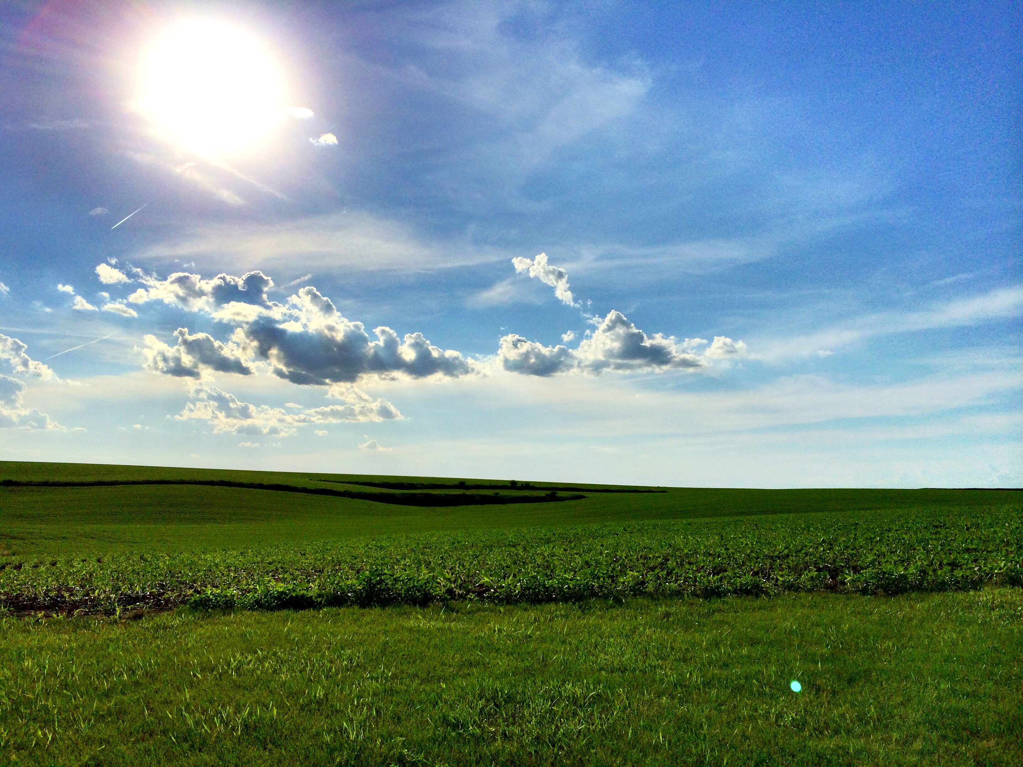
Iowa countryside

Early Fall Corn

Burning Sunset

DSC_5683.jpg

Hurricane Sunset

Fire Sky

DSC_3353.jpg

Weeds Seed
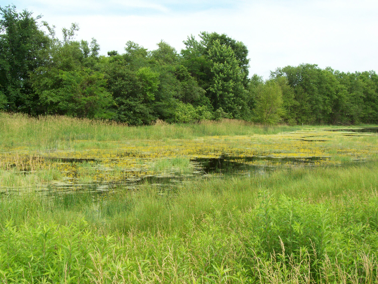
Eddyville sand prairie wetland
Topographic Map of - Keomah Village, Keomah Village, IA, USA
Find elevation by address:

Places near - Keomah Village, Keomah Village, IA, USA:
Keomah Village
Spring Creek
2725 Teller Ave
1602 B Ave E
1602 B Ave E
914 3rd Ave E
213 1st Ave E
A Ave E, Oskaloosa, IA, USA
Cedar
Oskaloosa
E Main St, Fremont, IA, USA
Fremont
2178 310th St
East Des Moines
Mahaska County
Pleasant Grove
Cass
Washington
What Cheer
East Briney Street, What Cheer, IA, USA
Recent Searches:
- Elevation of Gateway Blvd SE, Canton, OH, USA
- Elevation of East W.T. Harris Boulevard, E W.T. Harris Blvd, Charlotte, NC, USA
- Elevation of West Sugar Creek, Charlotte, NC, USA
- Elevation of Wayland, NY, USA
- Elevation of Steadfast Ct, Daphne, AL, USA
- Elevation of Lagasgasan, X+CQH, Tiaong, Quezon, Philippines
- Elevation of Rojo Ct, Atascadero, CA, USA
- Elevation of Flagstaff Drive, Flagstaff Dr, North Carolina, USA
- Elevation of Avery Ln, Lakeland, FL, USA
- Elevation of Woolwine, VA, USA