Elevation of Ōhatano-88 Takkonchō, Ōfunato-shi, Iwate-ken -, Japan
Location: Japan > Iwate Prefecture > Ofunato >
Longitude: 141.757099
Latitude: 39.1239142
Elevation: 195m / 640feet
Barometric Pressure: 99KPa
Elevation Map:
Satellite Map:
Related Photos:
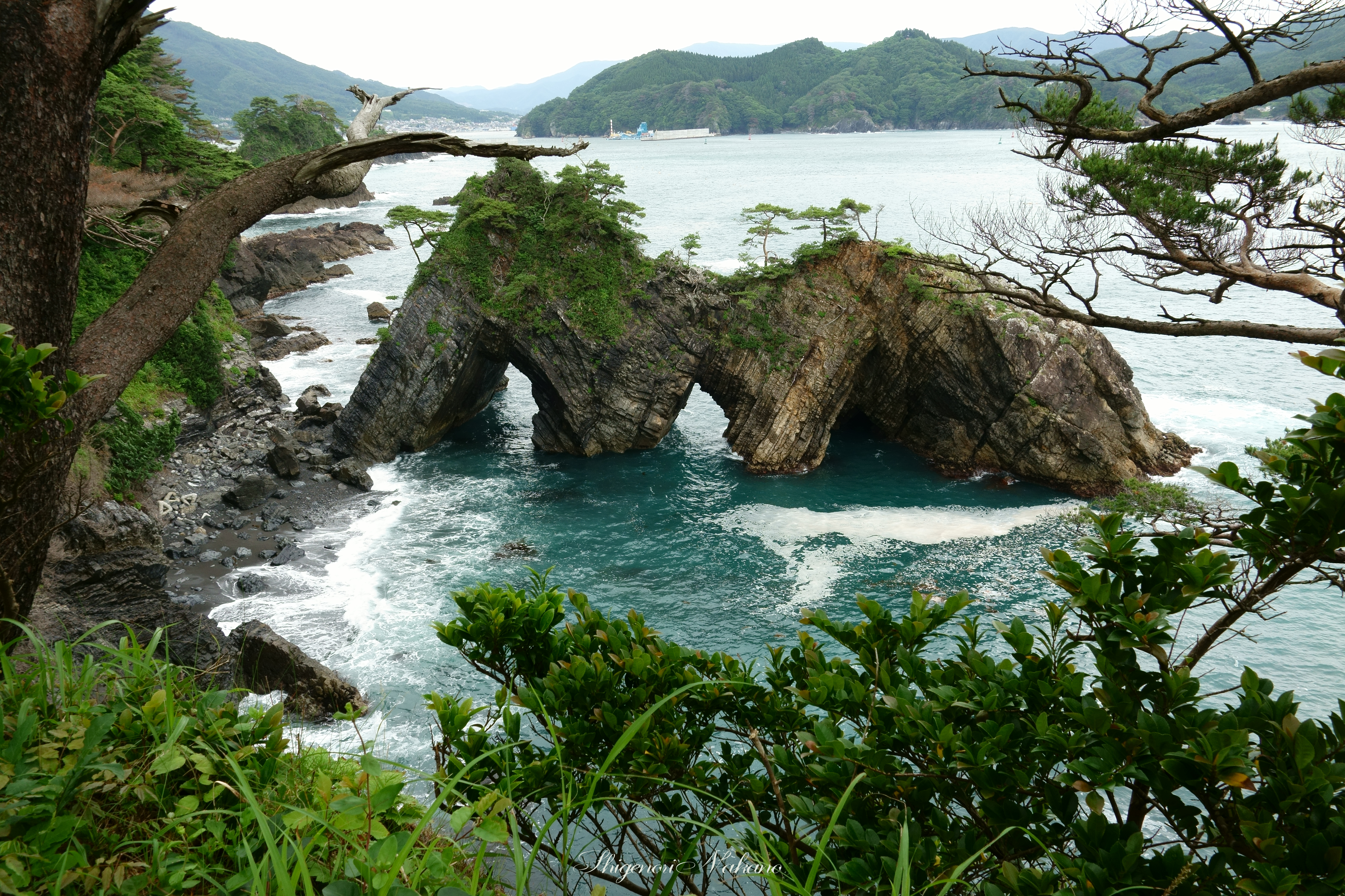
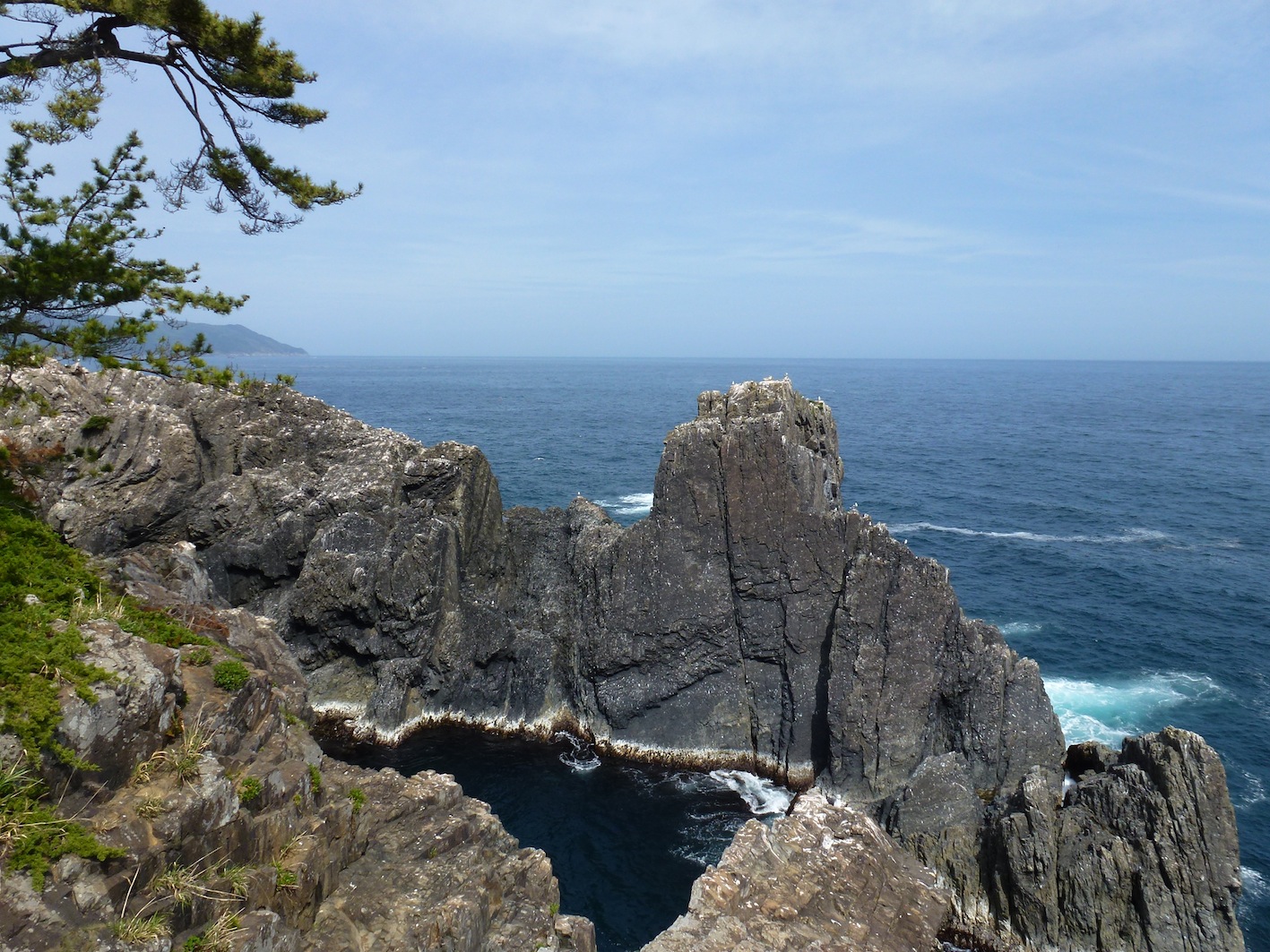
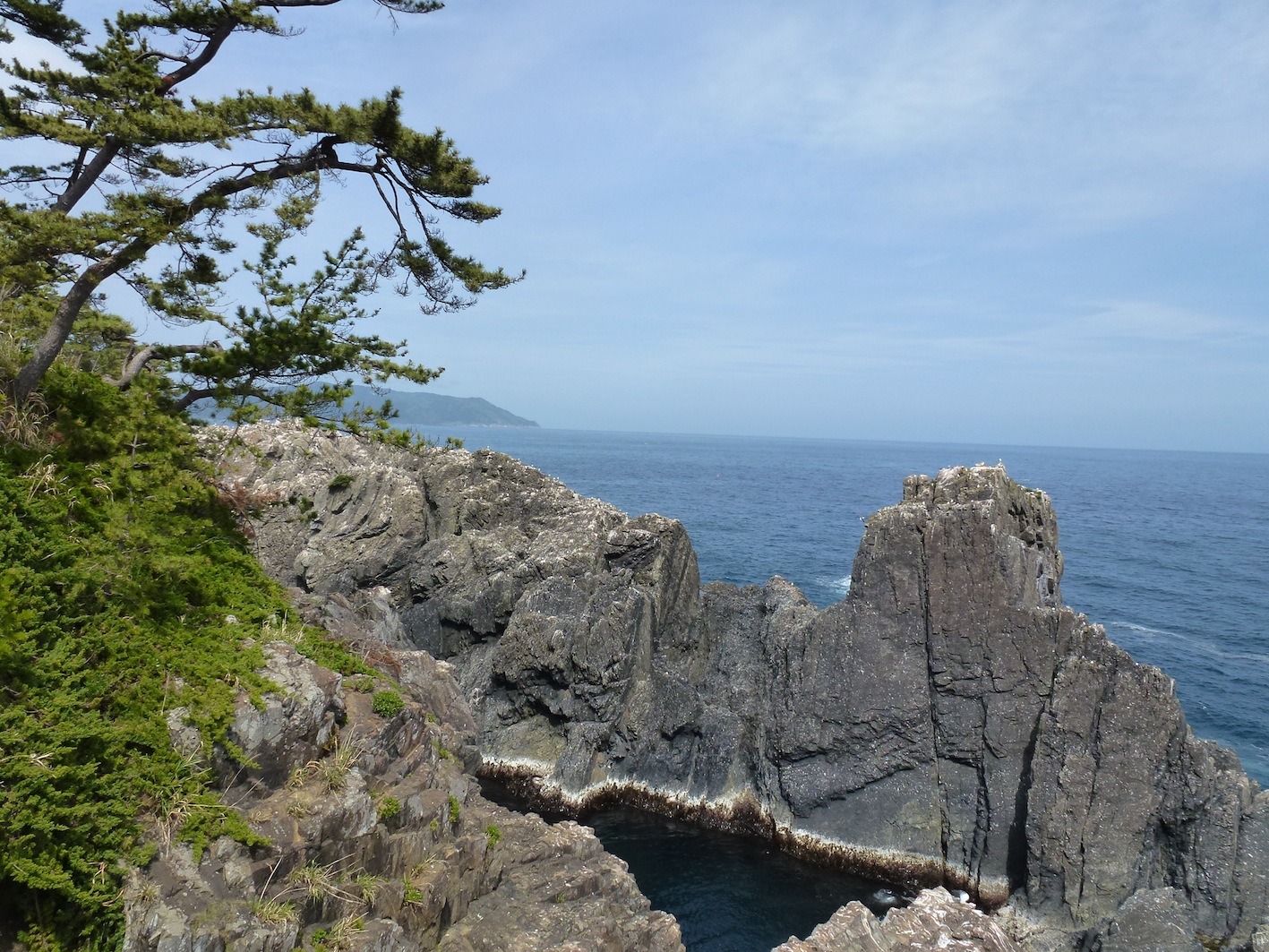
穴通磯 - Strangely shaped rocks "Anatoshi-iso"
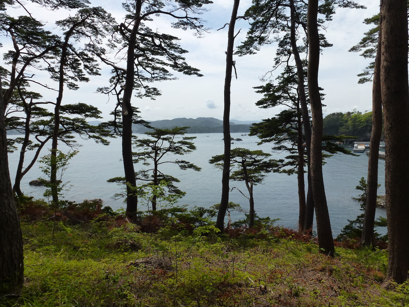
View from Shinto shrine, Ofunato

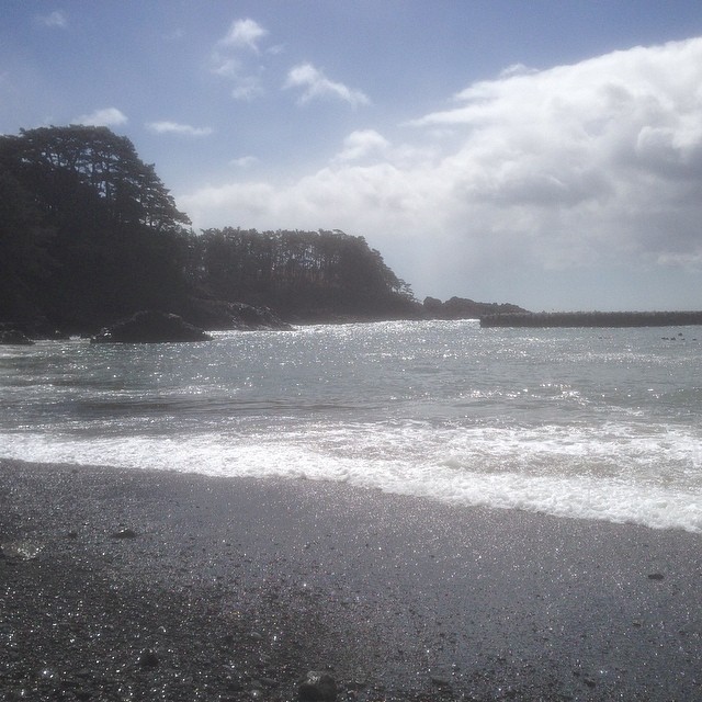
Goishi Coast
碁石海岸 - The shore and the Pacific.
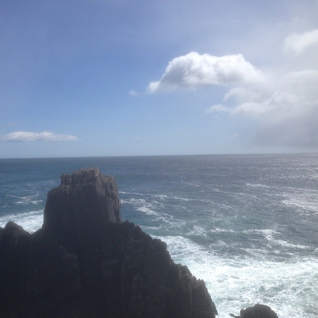
碁石岬
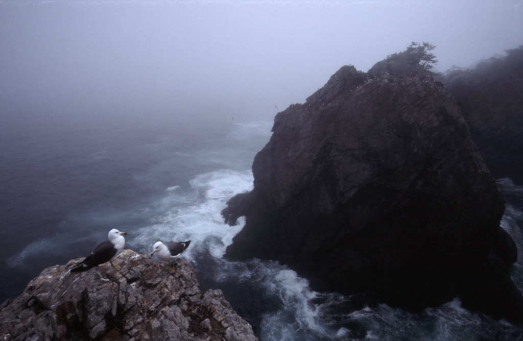
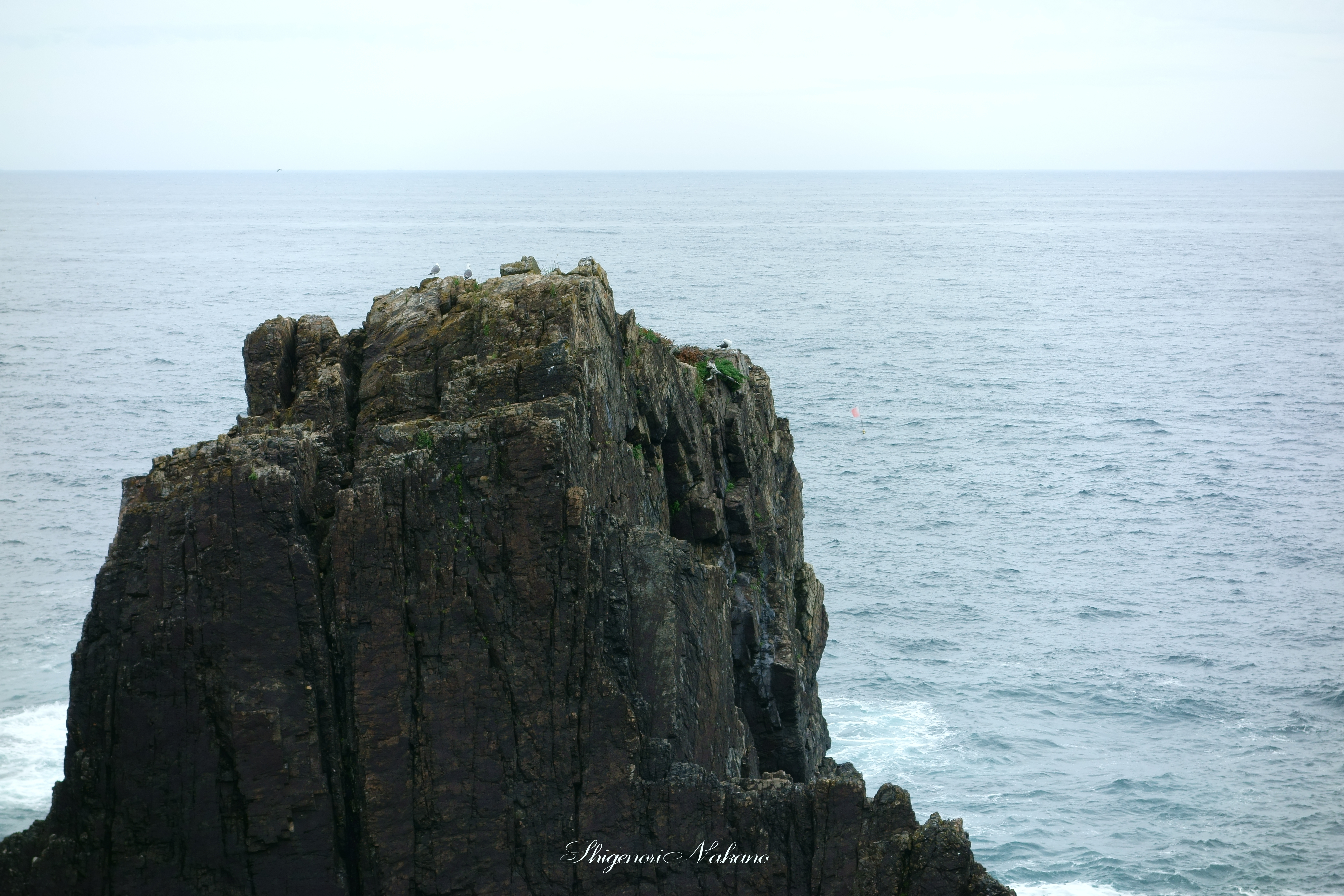
Sea Gulls in Fog
太平洋!
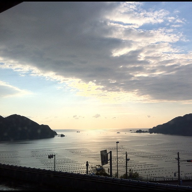
窓から

Mt.Fuji from syonan
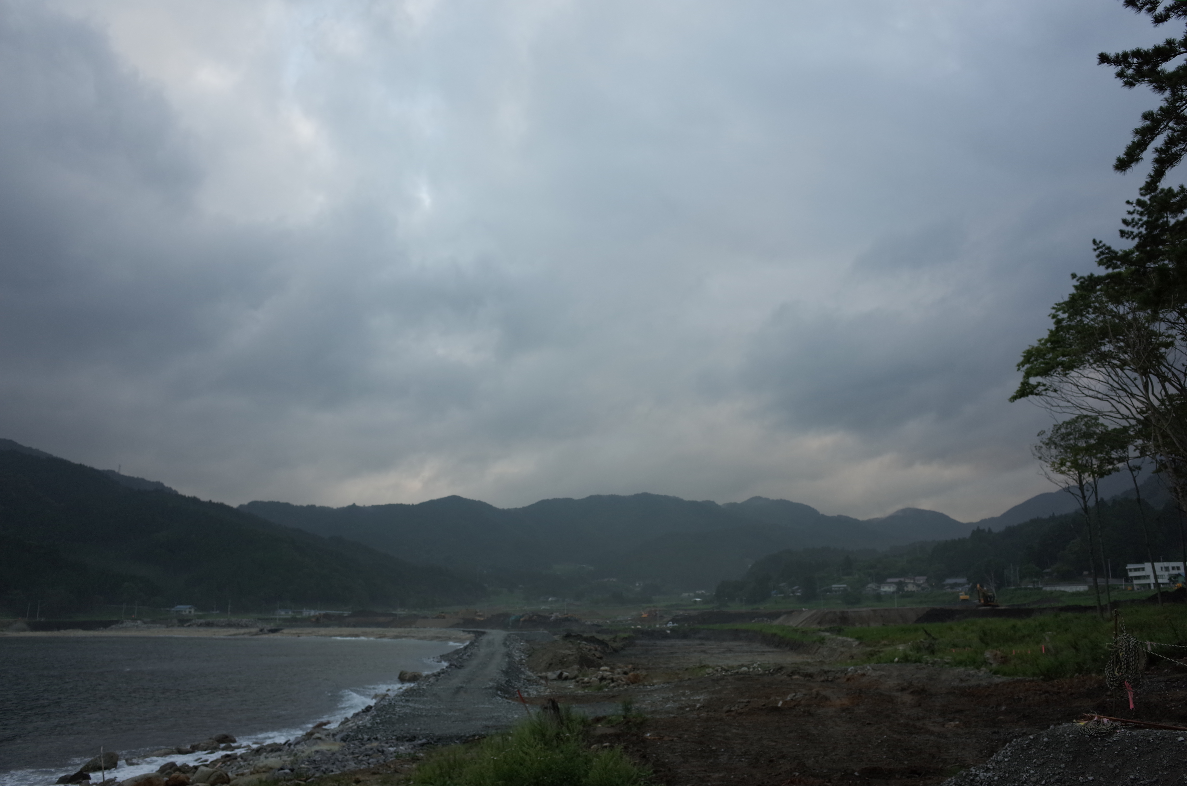
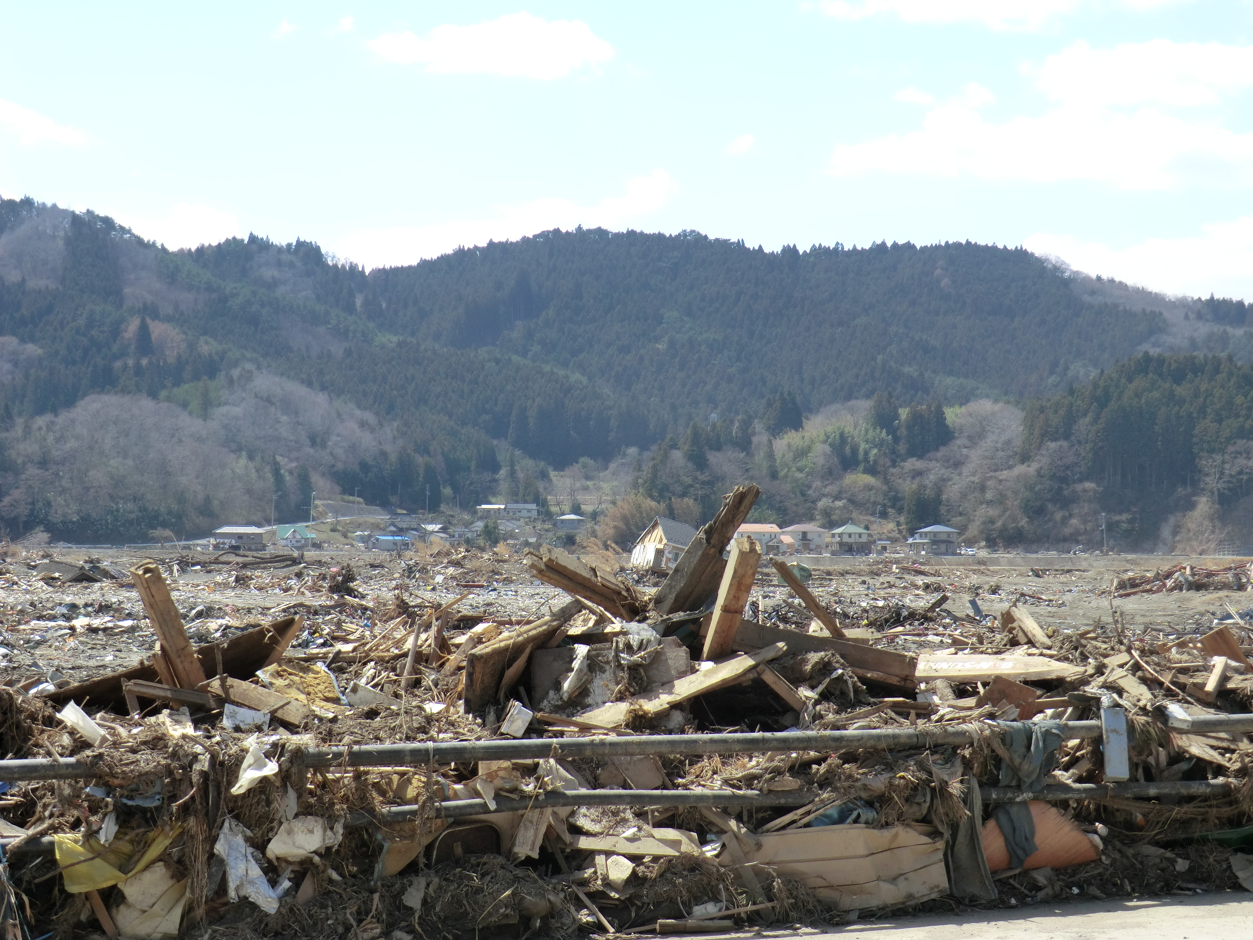
280513 Rikuzentakata, Iwate prefecture, Japan

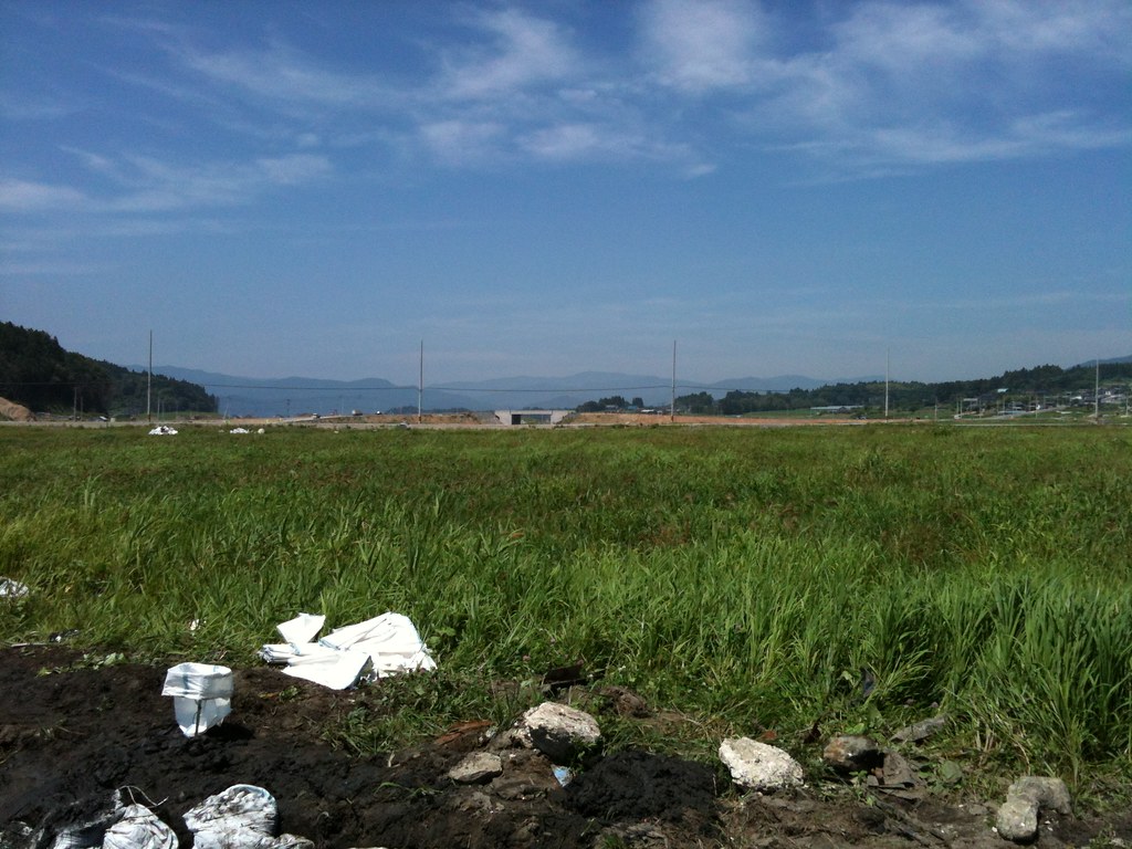
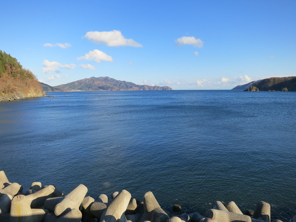
280513 Goishi Coast, Iwate prefecture, Japan
高田
280513 Goishi Coast, Iwate prefecture, Japan
280513 Goishi Coast, Iwate prefecture, Japan
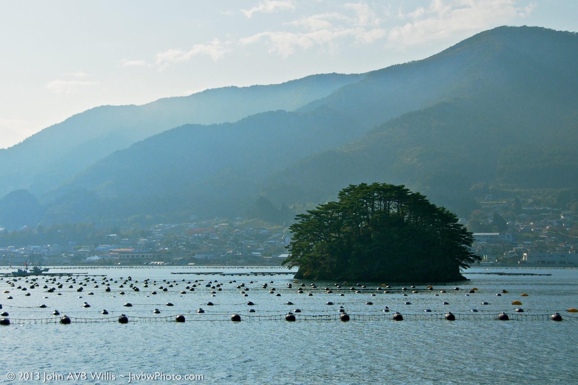
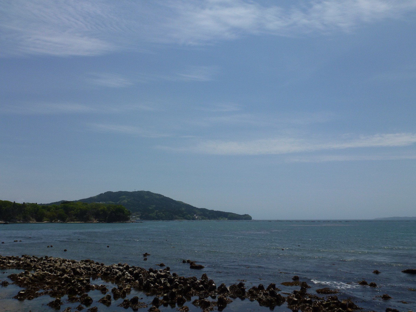
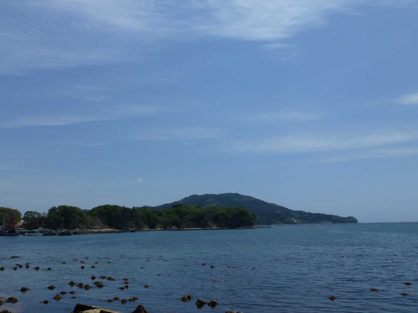
Ofunato Island
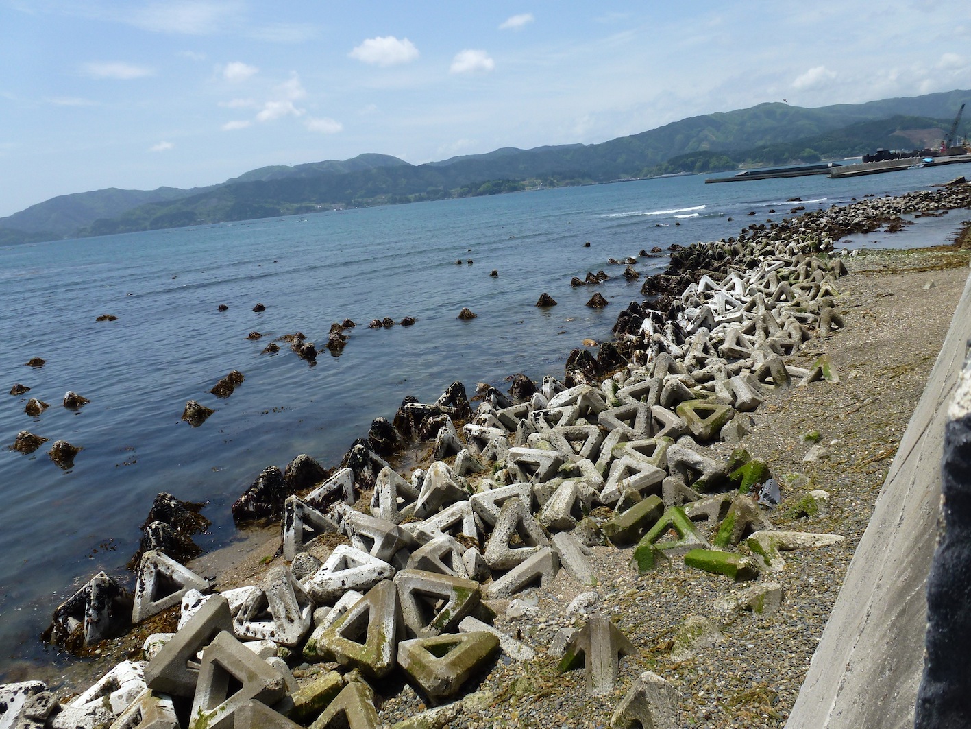
碁石浜。
IMG_9693.JPG
2013年9月3日の空
280513 Rikuzentakata, Iwate prefecture, Japan
280513 Goishi Coast, Iwate prefecture, Japan
280513 Rizentakata, Iwate prefecture, Japan
CIMG0211.JPG
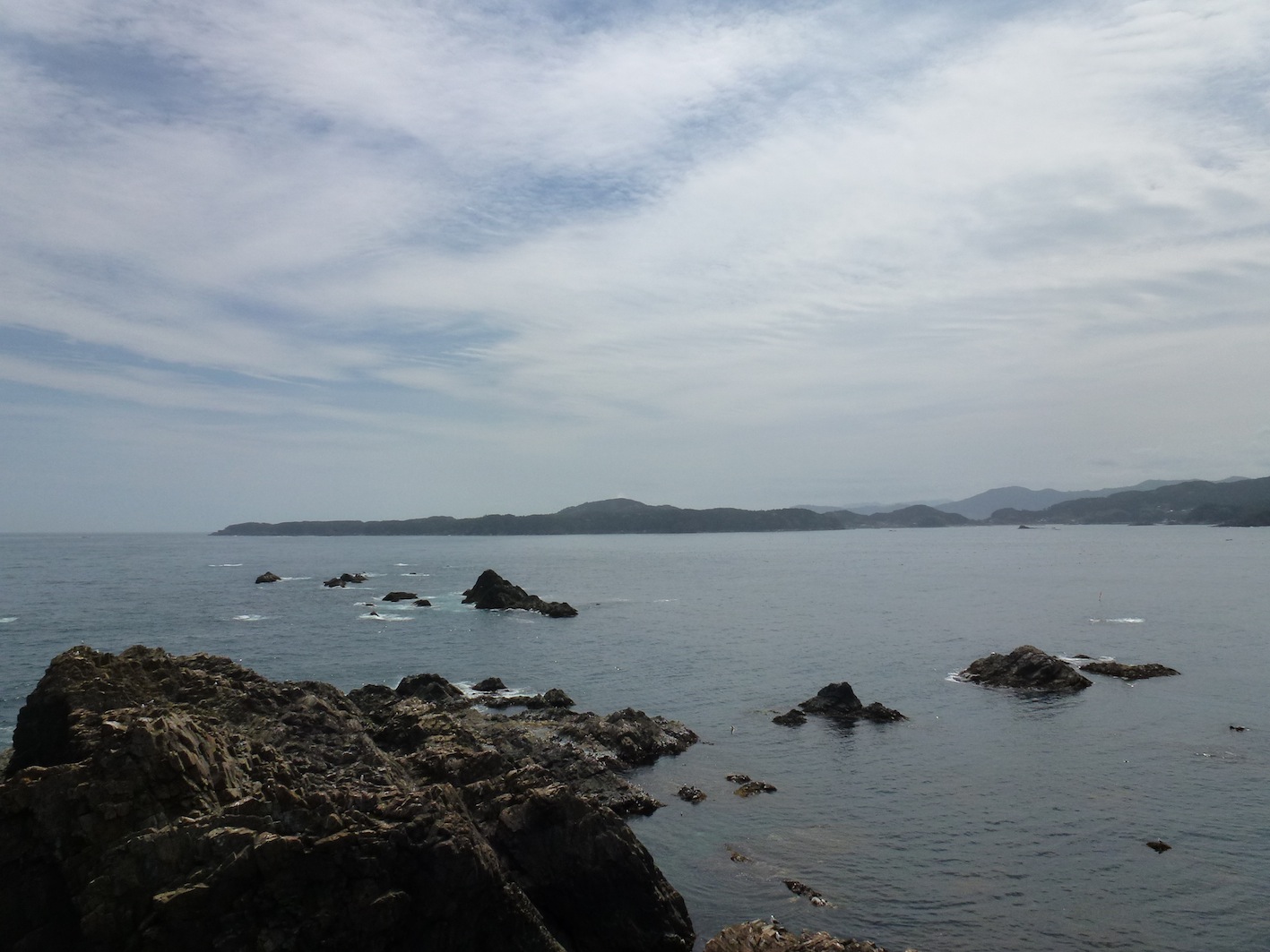
280513 Goishi Coast, Iwate prefecture, Japan
Topographic Map of Ōhatano-88 Takkonchō, Ōfunato-shi, Iwate-ken -, Japan
Find elevation by address:

Places near Ōhatano-88 Takkonchō, Ōfunato-shi, Iwate-ken -, Japan:
Ofunato
Jinomori-48-11 Ōfunatochō, Ōfunato-shi, Iwate-ken -, Japan
Rikuzentakata
Ushirohanagai--17 Hirotachō, Rikuzentakata-shi, Iwate-ken -, Japan
Nakai- Kesenchō, Rikuzentakata-shi, Iwate-ken -, Japan
Nakazawa-80-12 Hirotachō, Rikuzentakata-shi, Iwate-ken -, Japan
Sumita
2 Chome-3-1 Chidorichō, Kamaishi-shi, Iwate-ken -, Japan
Kamaishi
1 Chome-4-1 Hamachō
18 Chiwari-11 Kamigōchō Hosogoe, Tōno-shi, Iwate-ken -, Japan
Nakagami-14 Shimoarisu, Sumita-chō, Kesen-gun, Iwate-ken -, Japan
Amakaze-2-4 Setamai, Sumita-chō, Kesen-gun, Iwate-ken -, Japan
Kesen District
-6 Karakuwachō Nakai, Kesennuma-shi, Miyagi-ken -, Japan
Dai 21 Chiwari Kozuchi
Otsuchi
8-25 Uoichibamae, Kesennuma-shi, Miyagi-ken -, Japan
Kesennuma
Dai, Kesennuma-shi, Miyagi-ken -, Japan
Recent Searches:
- Elevation of Hercules Dr, Colorado Springs, CO, USA
- Elevation of Szlak pieszy czarny, Poland
- Elevation of Griffing Blvd, Biscayne Park, FL, USA
- Elevation of Kreuzburger Weg 13, Düsseldorf, Germany
- Elevation of Gateway Blvd SE, Canton, OH, USA
- Elevation of East W.T. Harris Boulevard, E W.T. Harris Blvd, Charlotte, NC, USA
- Elevation of West Sugar Creek, Charlotte, NC, USA
- Elevation of Wayland, NY, USA
- Elevation of Steadfast Ct, Daphne, AL, USA
- Elevation of Lagasgasan, X+CQH, Tiaong, Quezon, Philippines