Elevation of Паккард Каньон көчөсү, Groveland, CA, USA

Location: United States > California > Tuolumne County > Groveland >

Longitude: -120.02560

Latitude: 37.819856

Elevation: 989m / 3245feet

Barometric Pressure: 90KPa

Elevation Map:

elevation map of Паккард Каньон көчөсү, Groveland, CA, USA

Satellite Map:

Satellite map of Паккард Каньон көчөсү, Groveland, CA, USA

Related Photos:

california usa fall pine america forest landscape us fallcolor sierra yosemite redwoods yosemitenationalpark dogwood sierranevada johnmuir darvin ヨセミテ 요세미티 atkeson カリフォルニア州 darv 캘리포니아 美国加州 liquidmoonlightcom 约塞米蒂
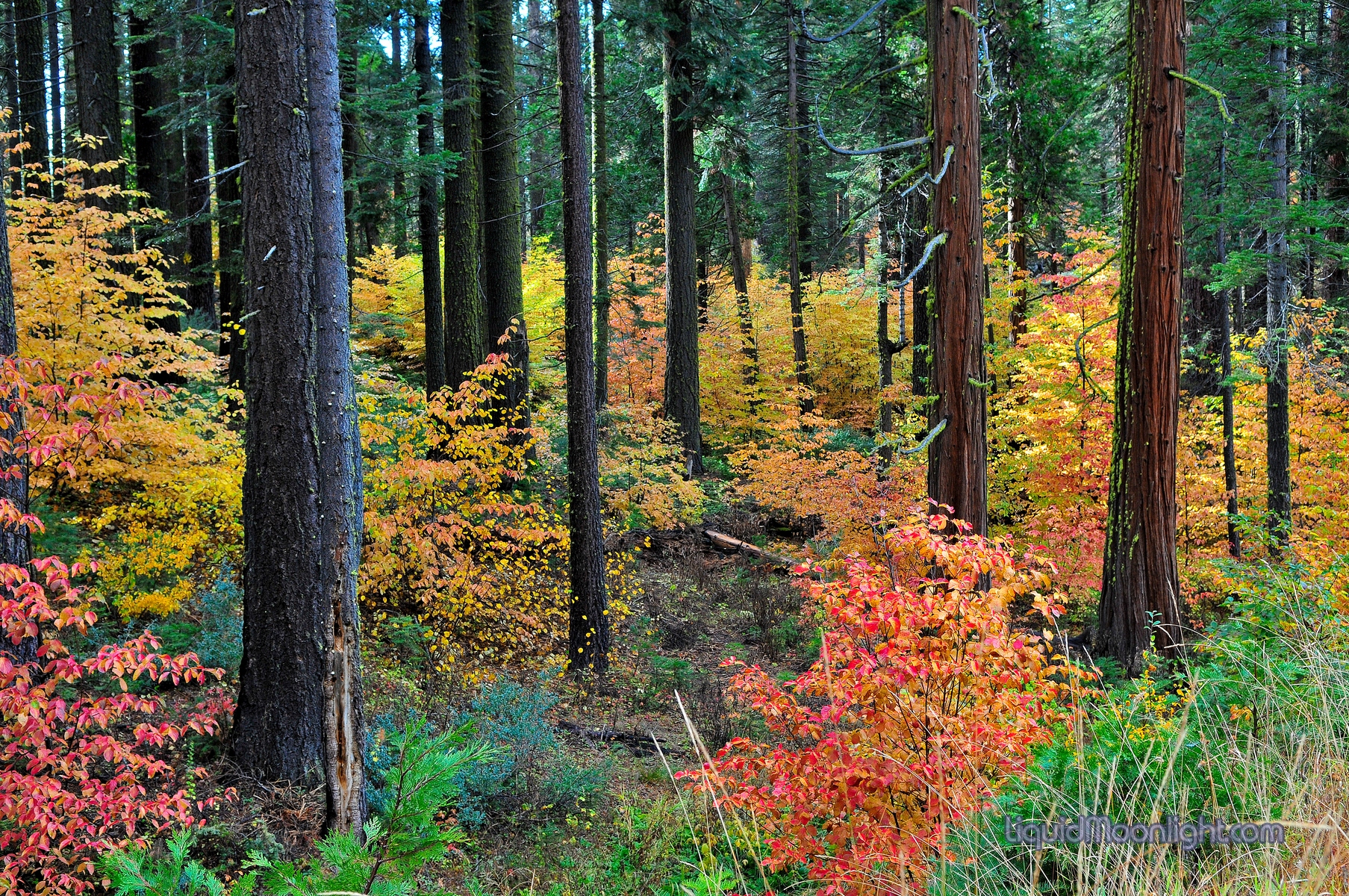
Rainbow Forest - Yosemite California
california sunset nationalpark yosemite westcoast elcapital canon60d nikfilter lightroom5 photoshopcc cmonsoonphoto
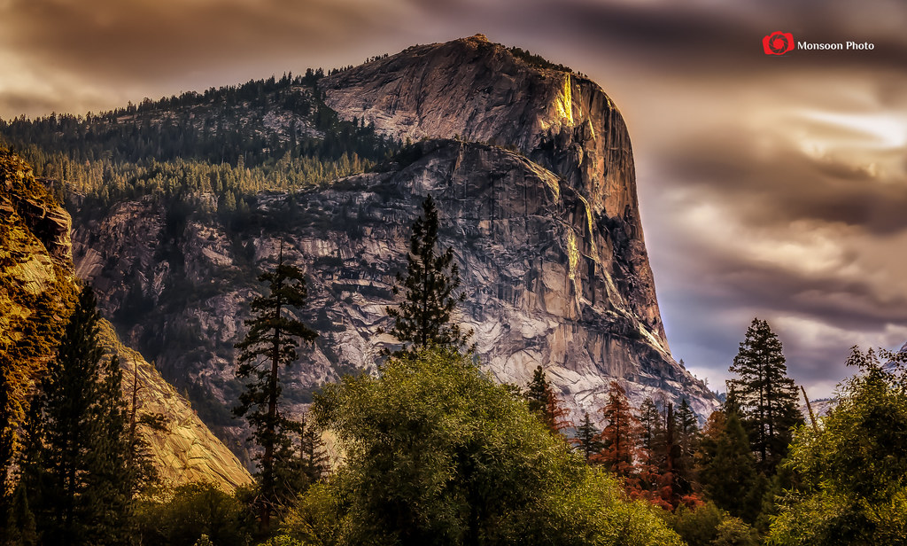
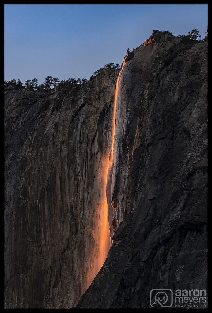
El Capitan - A Different View
tree film pine forest polaroid view sierras groveland 669 packfilm tuolumnecounty automatic250
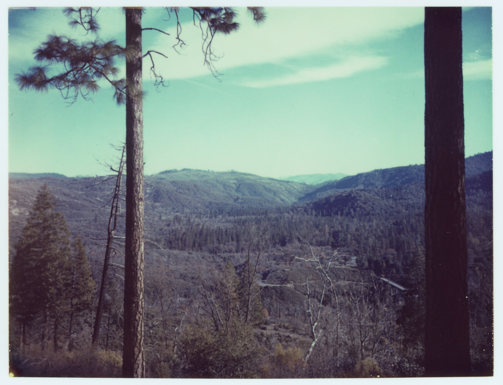
view from mom's place
panorama usa color fall america forest us fallcolor yosemite yosemitenationalpark dogwood darvin ヨセミテ 요세미티 atkeson カリフォルニア州 darv 캘리포니아 美国加州 liquidmoonlightcom 约塞米蒂
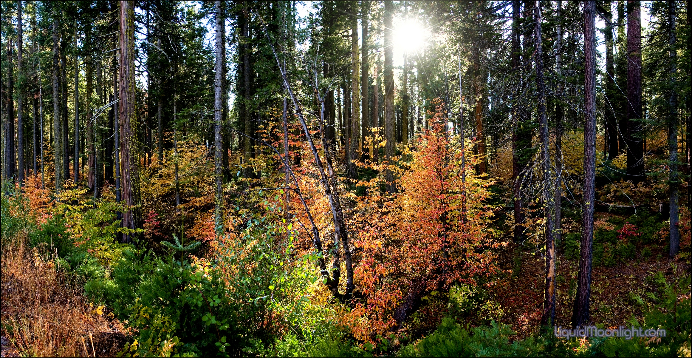
Dogwoods Fall color - Yosemite National Park, California
california panorama forest stanislaus nationalpark nikon nationalforest national yosemite yosemitenationalpark nationalparkservice stitched 28300mm highway120 johnk rimoftheworld rimfire stanislausnationalforest d610 johnkrzesinski randomok nikond610
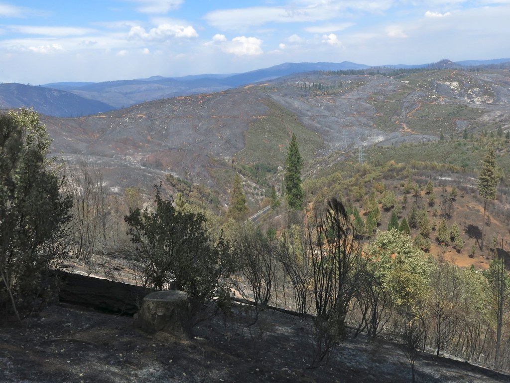
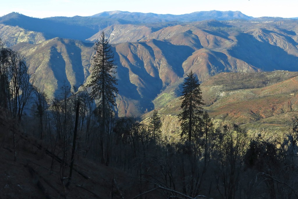
Rim of the World Panorama, 8 months after the fire...
rimfire tuolumneriver
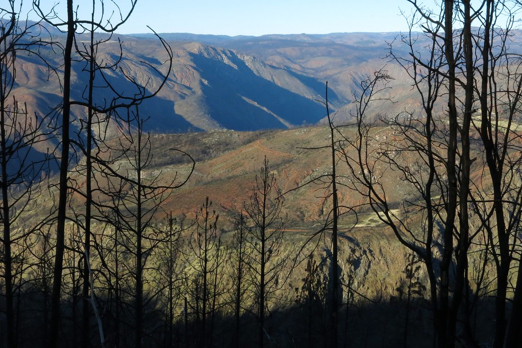
View north from White Oak Road into Tuolumne Canyon
house fire
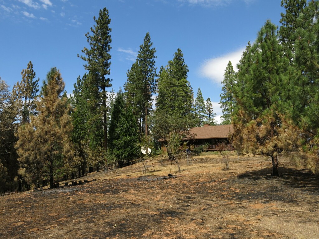
First view of our house. Still there. What a relief!
fire groveland rimfire pml
Marina View
california ca nationalpark yosemite yosemitenationalpark triptoyosemite usnationalparkservice
Trip to Yosemite 056
fire august sierranevada rimfire tuolumneriver 2013 tuolumnecounty stanislausnf copyrightricharddbeebe richardbeebe
RB_08-18-2013_662_RimFire
thanksgiving yosemite rimfire 2013
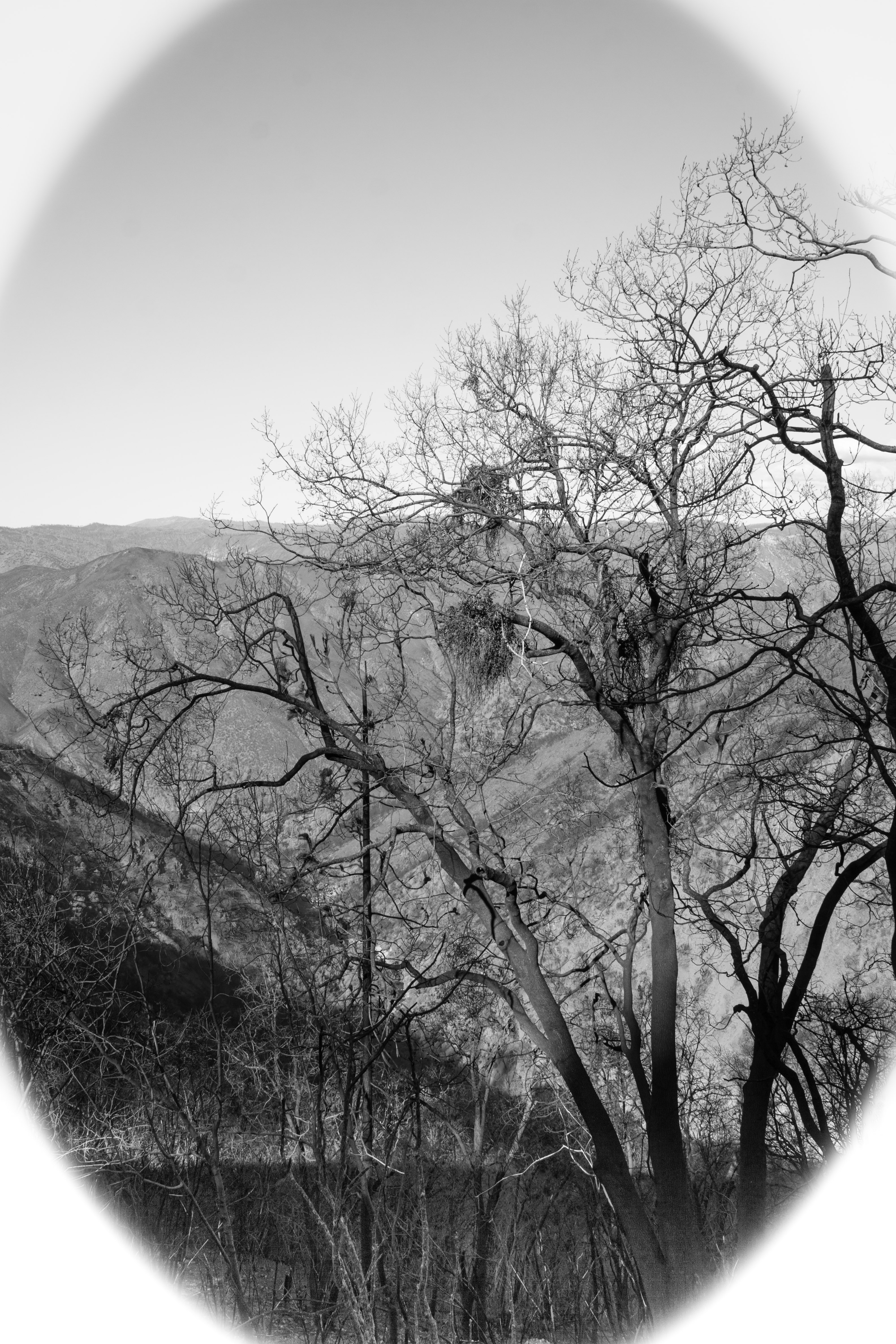
Rim of the World Lookout B&W
tree fire
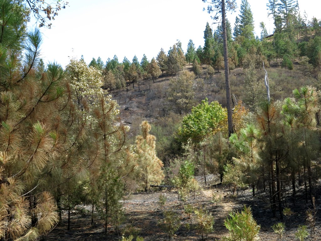
This area looks really different.
fire vegetation
View towards route 120
fire vegetation
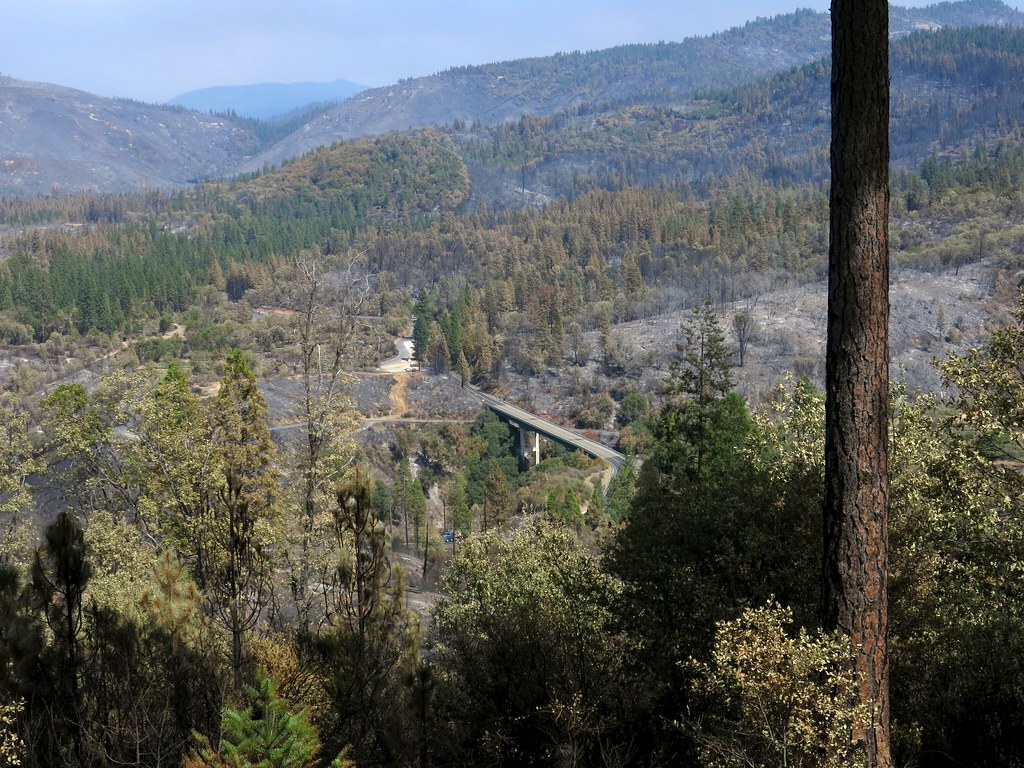
View from our house towards route 120
fire vegetation
View from our house towards Cherry Lake Road and the PG&E lines.
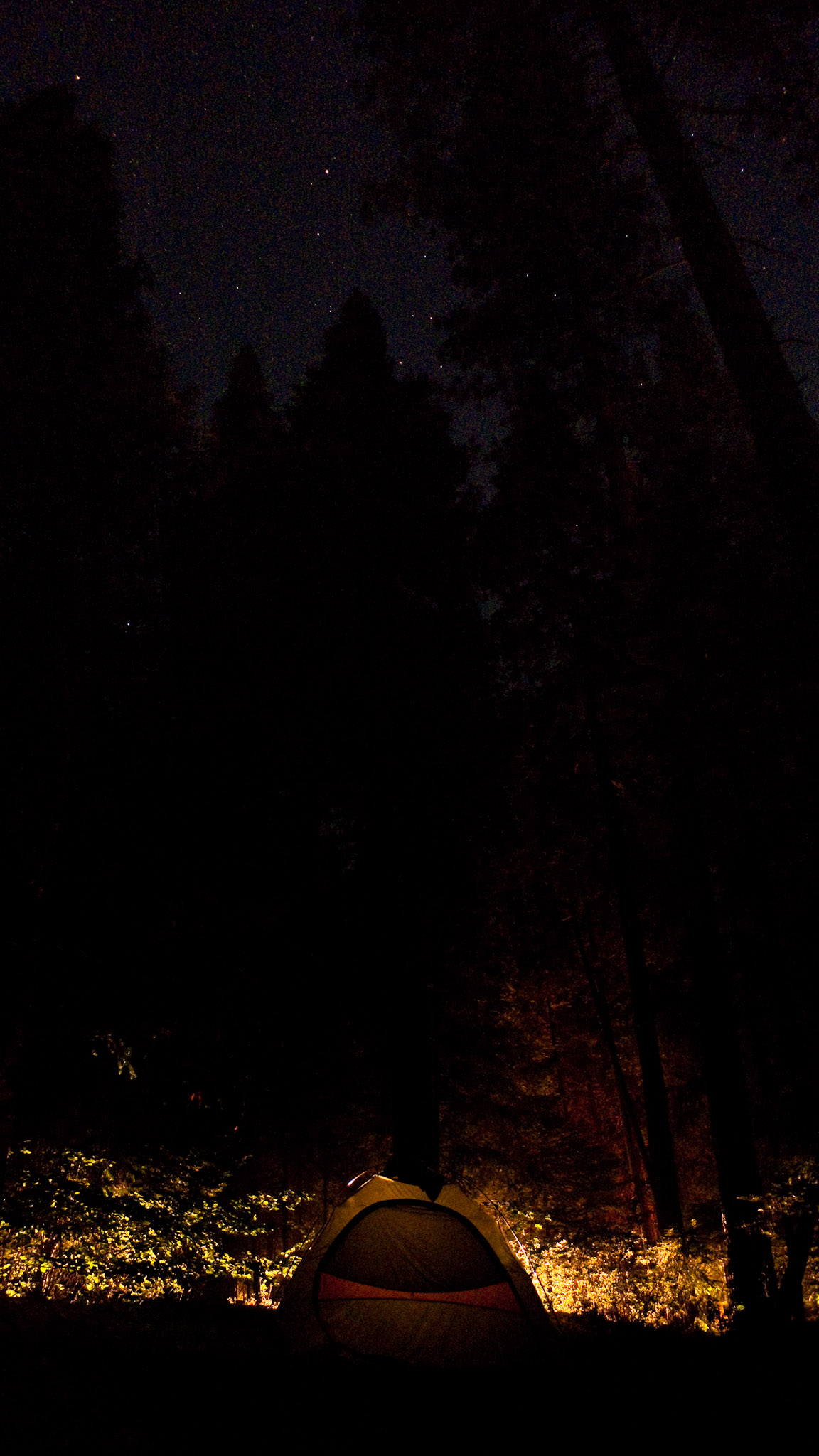
stars tent yosemitenationalpark dmclx3
Under the stars
fire vegetation
View from Rim of the World
house fire
View up the hill towards Lillaskog
landscape burn rimfire
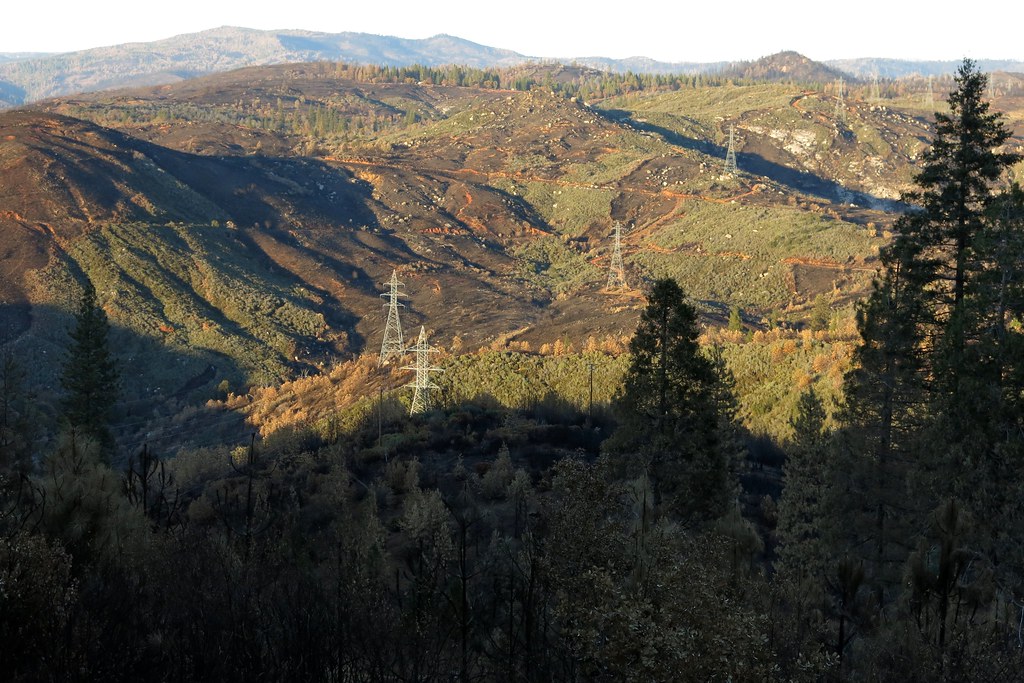
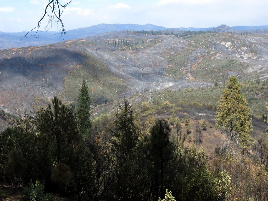
burned area along power pole lines
rimfire tuolumneriver
View towards Jawbone Ridge
house fire
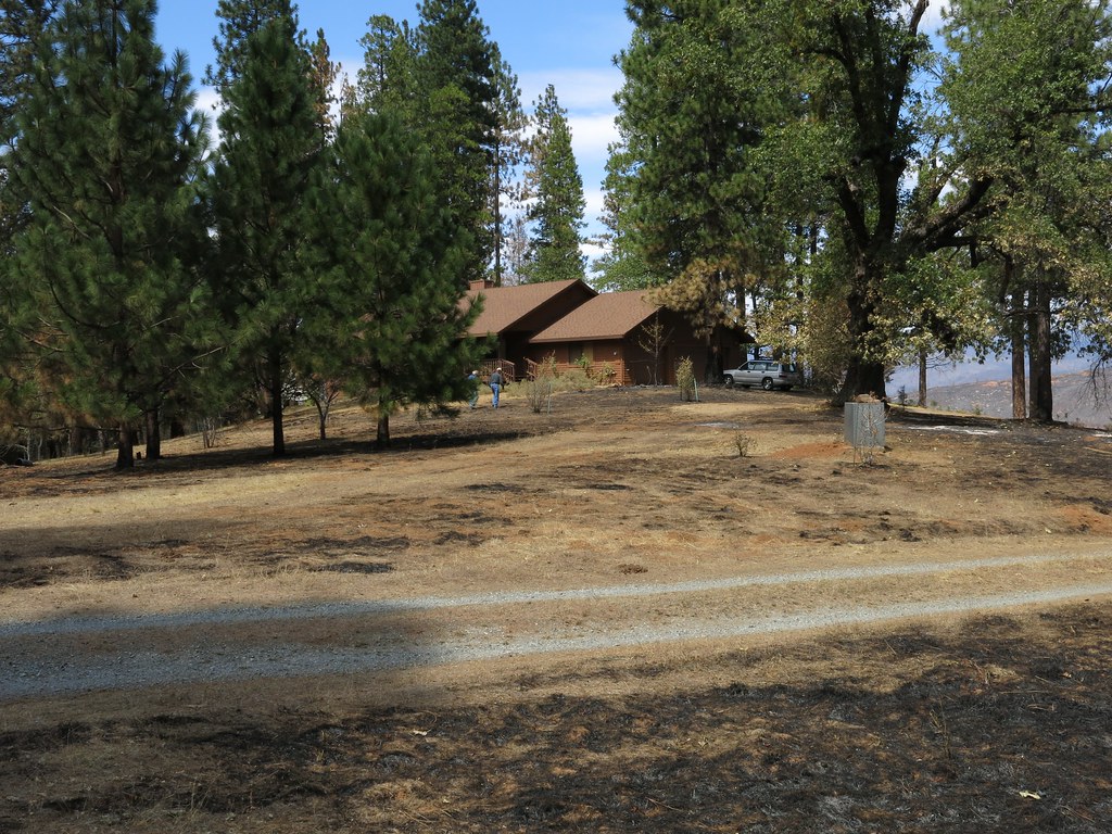
View of the house from the driveway.
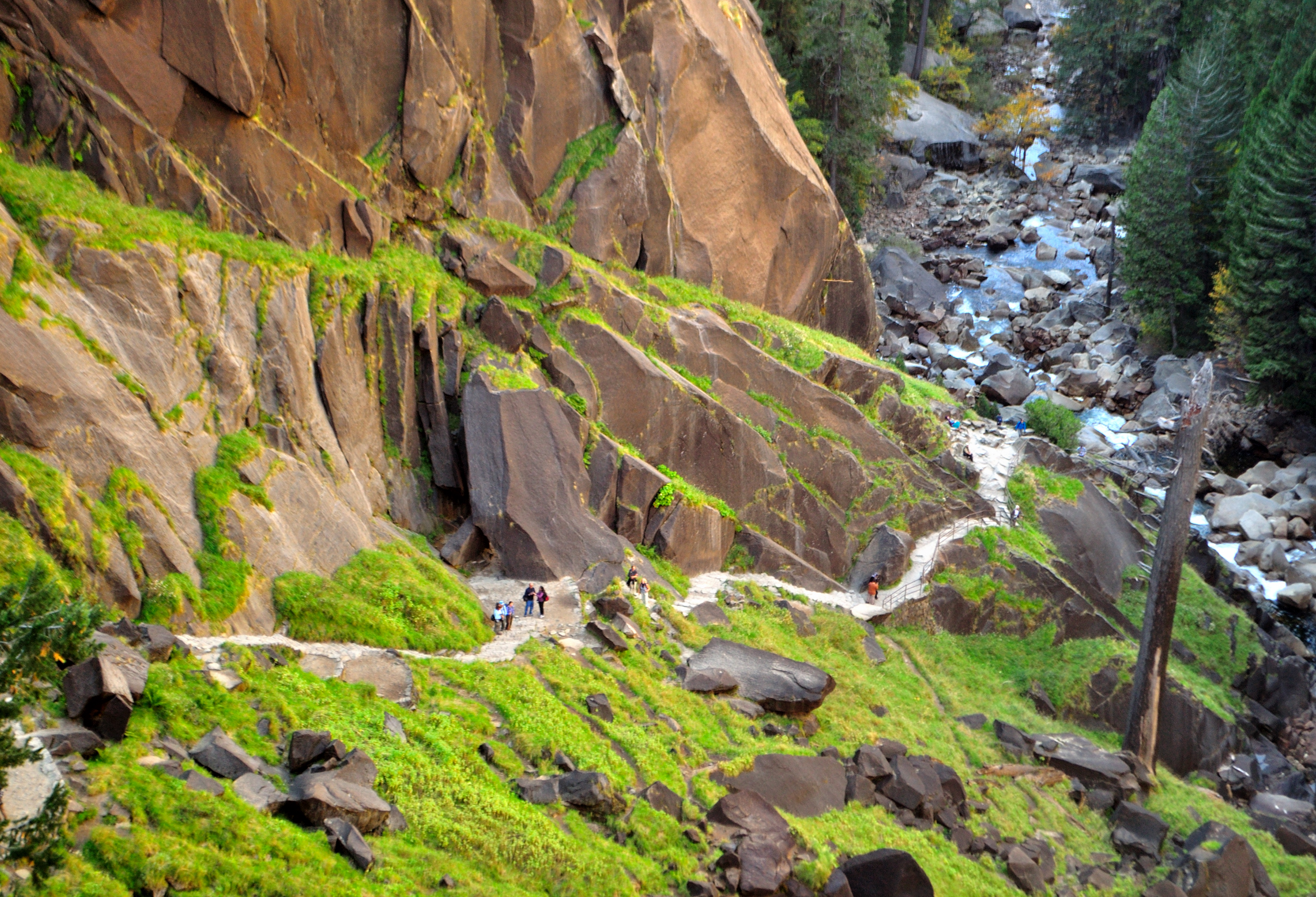
california trees mountain green fall nature water grass river moss hiking falls boulders trail yosemite granite brook sierras steep vernalfalls misttrail
The Mist Trail
california clouds unitedstates groveland canoneos600 niksoftware define20
On the road to Yosemite
world california trip travel viaje sky usa mountains nature night clouds america landscape noche twilight unitedstates roadtrip viagem noite northamerica yosemitenationalpark dämmerung wilderness crépuscule 自然 旅行 nuit 夕暮れ estadosunidos crepúsculo groveland eeuu 美國 skymning 夜 黄昏 美国 beautifulnature usnationalparks étatsunis 미국 日暮れ דמדומים alacakaranlık ארצותהברית 優勝美地國家公園 flickrelite شفق заря 北米 национальныйпарк соединённыештатыамерики ヨセミテ国立公園 薄明 สนธยา chạngvạng hoakỳ الولاياتالمتحدة संयुक्तराज्यअमेरिका アメリカ大陸 요세미티국립공원 йосемити ایالاتمتحدهآمریکا 曙暮光 یوسمائیٹنیشنلپارک อุทยานแห่งชาติโยเซมิต yùsṳnmîthikoetkâkûngyèn הפארקהלאומייוסמיטי منتزهيوسيميتيالوطني อุทยานแห่งชาติโยเซมิตี იოსემიტისეროვნულიპარკი იოსემიტისეროვნულიპარ 박명 zorzaporanna
Yosemite Smoggy Magic after Wildfire
california trees brown green fall nature beauty fence grove dirt trail yosemite yosemitenationalpark sequoia tuolumne sequoias tunneltree tuolumnegrove
Tuolumne Tunnel Tree
california winter fire lava waterfall nikon telephoto waterfalls yosemite yosemitenationalpark february elcapitan yosemitevalley horsetail d800 snowmelt horsetailfalls naturalphenomenon 2016 picnicgrounds yosemitenp firefalls nikond800 aaronmeyersphotography elcapitanpicnicgrounds horsetailfirefalls
Horsing Around in Mordor
oneaday photoaday 365 2010 pictureaday project365 365project onephotoaday project365347 3652010 2010yip project365121310
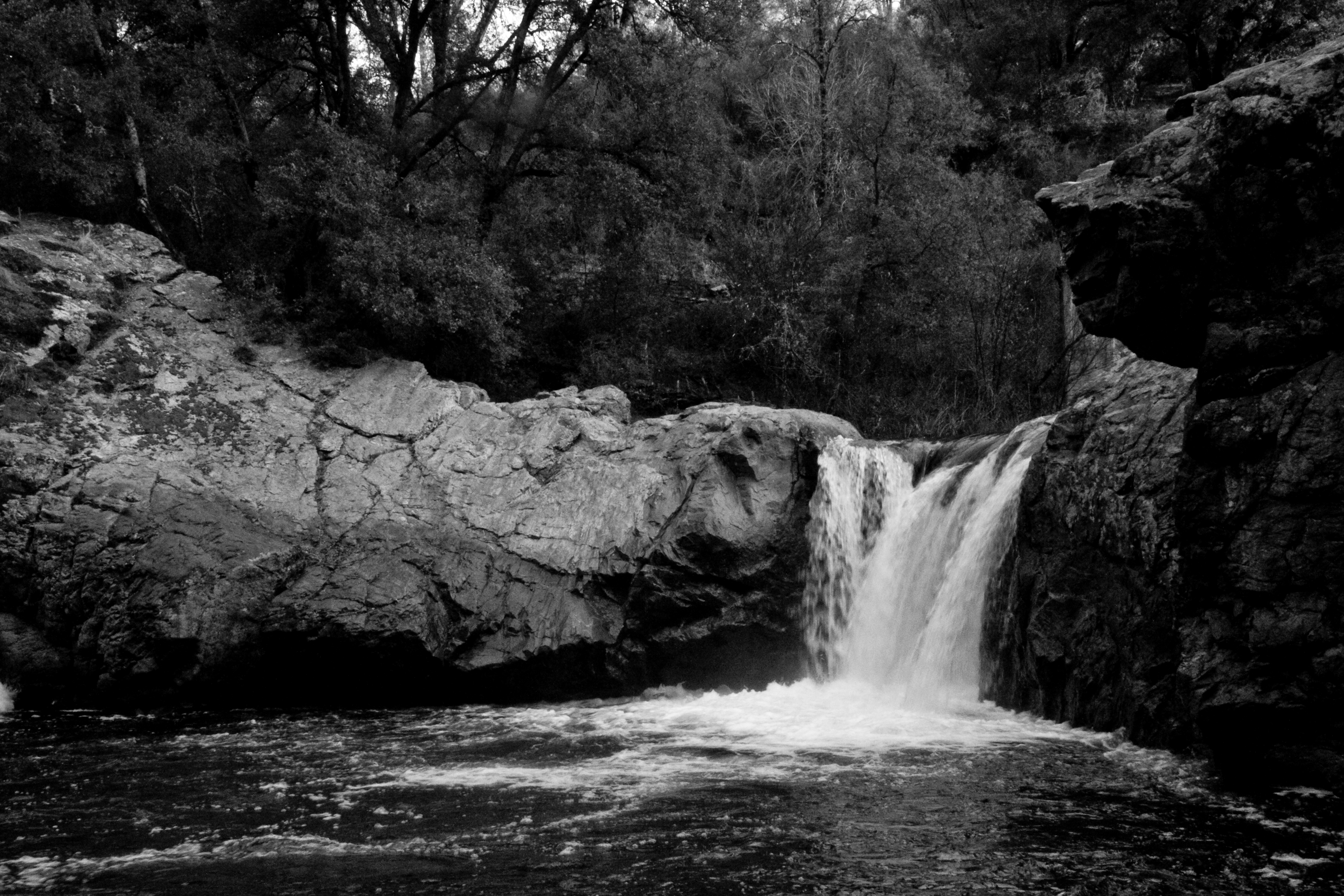
Rainbow Falls & Pools (347/365)
california fall weekendtrip sierranevadas groveland tuolumnecounty
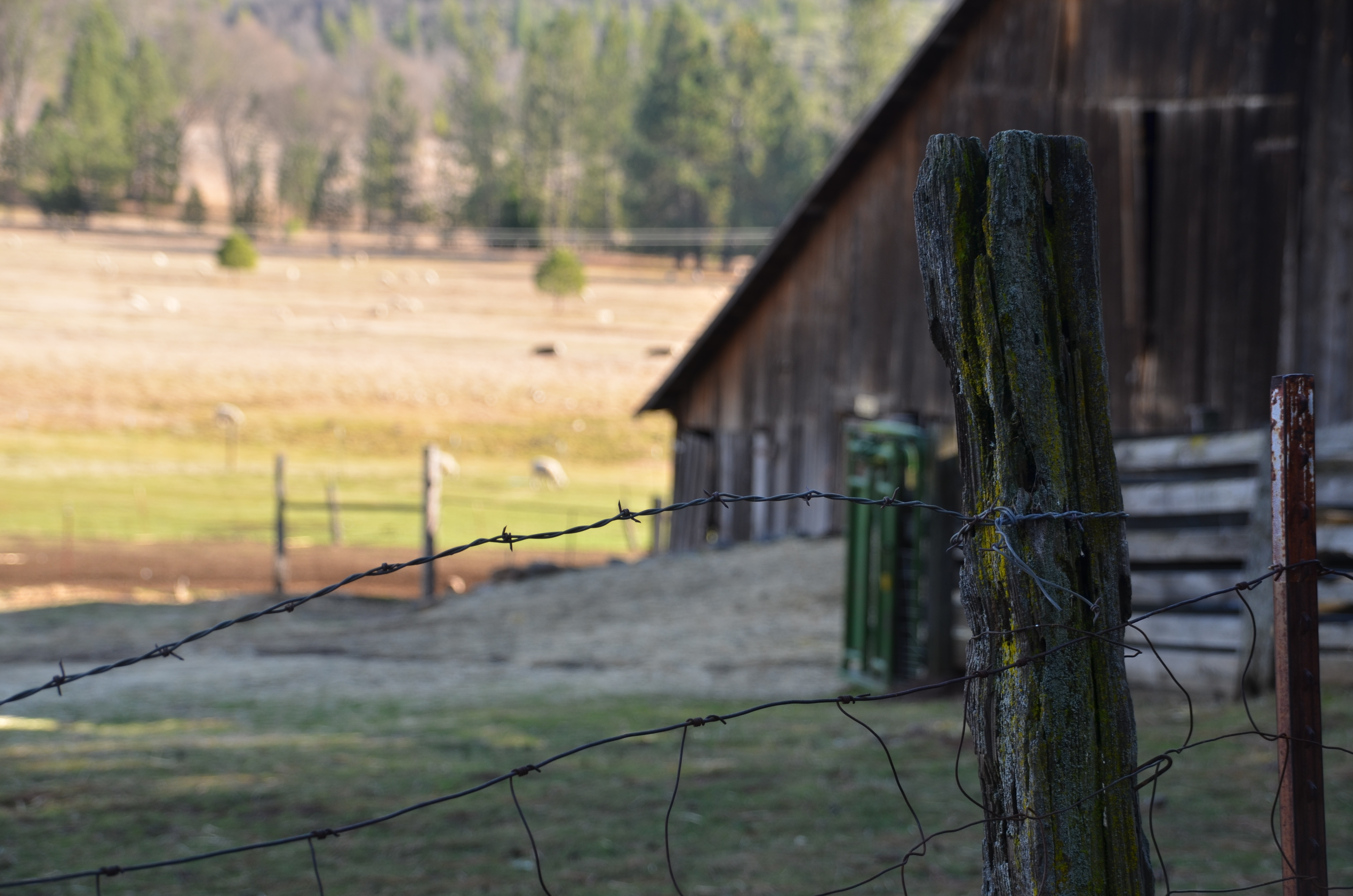
IMG_4722_Moss, lichen and barbed wire
california blackandwhite tree water rain weather horizontal rural forest landscape us scenery branch unitedstates vegetation northamerica raindrop groveland sierranevadamountains rimfire stanislausnationalforest tuolumnecounty 4cornersphoto
Raindrops, Stanislaus National Forest
california sunset panorama unitedstates yosemite sierranevada groveland rimoftheworld
Rim of the World Panorama - Pre-fire
fog groveland
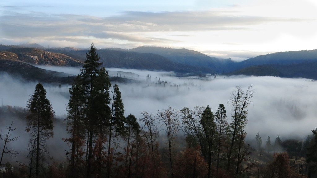
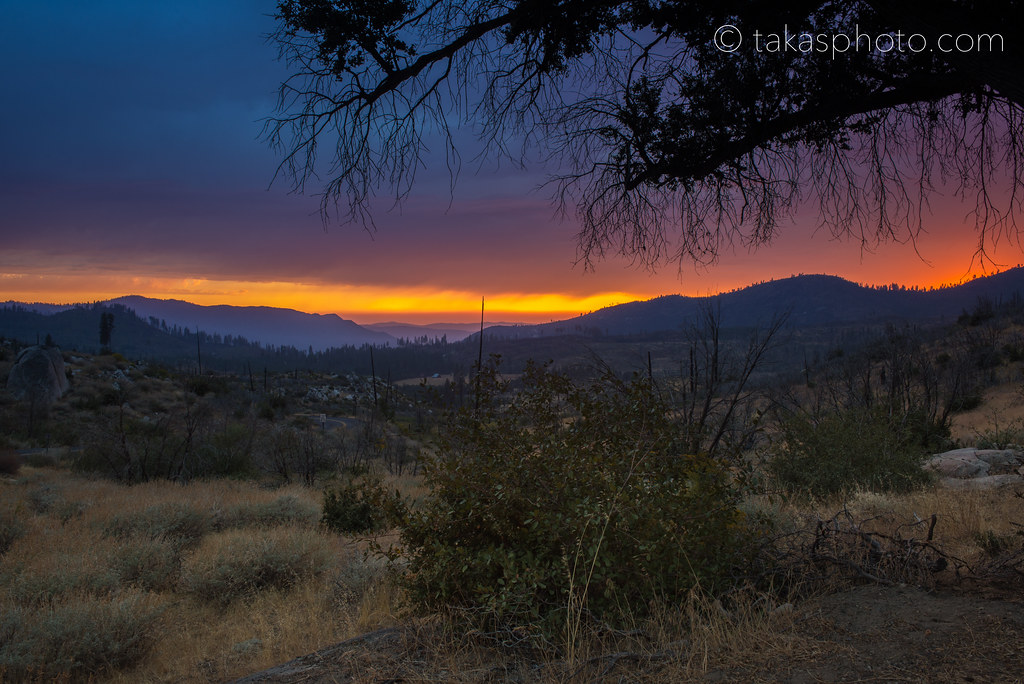
Clearing skies the morning after the rain
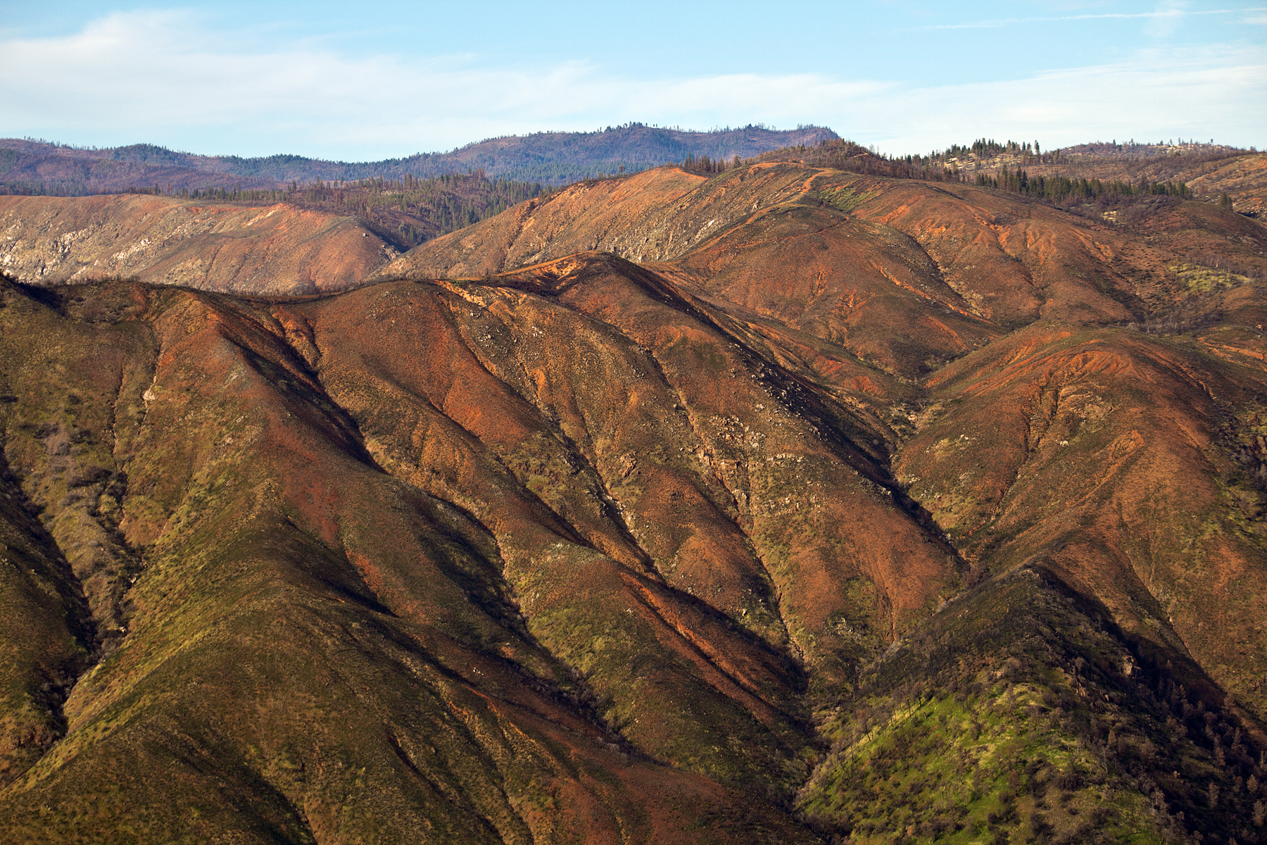
california canon tamron tuolumne wildfire t3i groveland 2014 rimfire wildlandfire hwy120 tamron18270
Burn Scars
yosemitenationalpark uploaded:by=flickrmobile flickriosapp:filter=nofilter
Maddy and me in Yosemite
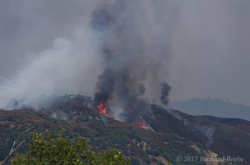
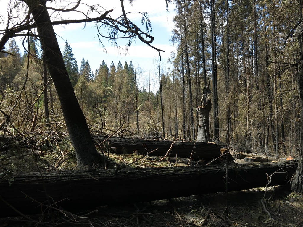
Rim Fire
rimfire stanislausnationalforest
Rim Fire
california unitedstates
3Q6A2149.jpg
california mountain lake reflection water northerncalifornia canon landscape nationalpark mirrorlake yosemite reflectingpool hdr gettyimages canon60d availableongettyimages cswapanjha
Mirror Lake - Yosemite, CA - Available on Getty Images
california unitedstates groveland
0IQ180_8269-72