Elevation of Țepeș Vodă, Romania
Location: Romania > Constanța County >
Longitude: 28.2332511
Latitude: 44.4451911
Elevation: -10000m / -32808feet
Barometric Pressure: 295KPa
Elevation Map:
Satellite Map:
Related Photos:

Grazing on Danube banks

panorama cu turnul de colt 2 in prim plan

Black-tailed godwit

Black-winged stilt

Corn bunting

82 0374

Danube Delta, Lens Nikon 16-85mm f-3.5-5.6G ED VR DX AF-S Nikkor, Romania, Seimeni, stork.jpg
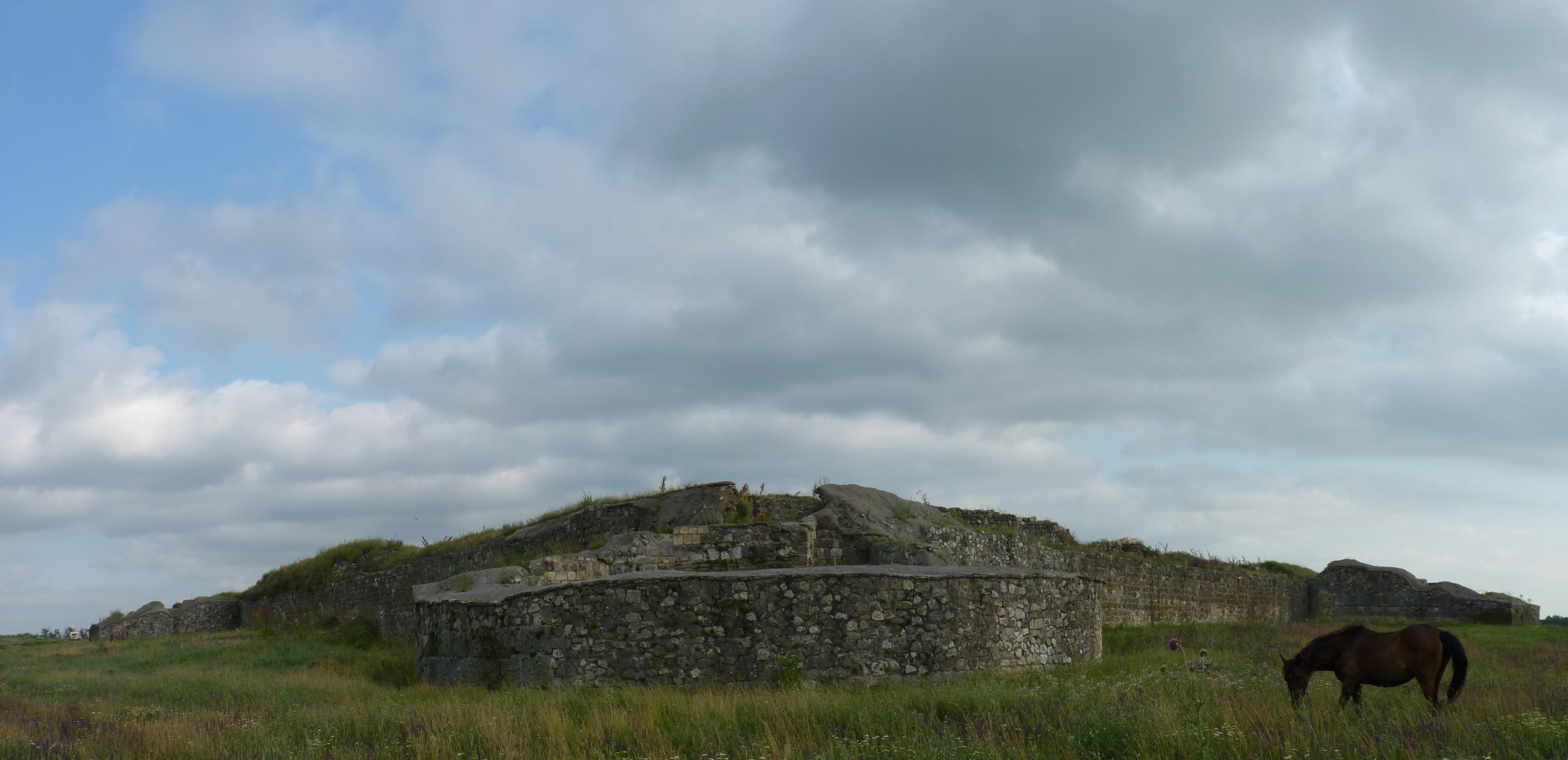
Panorama 10 Capidava

Bent tree

Nicolae Balcescu
Topographic Map of Țepeș Vodă, Romania
Find elevation by address:

Places near Țepeș Vodă, Romania:
Crucea
Crucea
Unnamed Road
Constanța County
Ovidiu
Strada Poiana 33, Ovidiu, Romania
Mamaia
Constanta
Constanța
Eforie Nord
Eforie
Costinesti
Costinești
Yovkovo
Limanu
Strada Câmpului
Limanu
Recent Searches:
- Elevation of W Granada St, Tampa, FL, USA
- Elevation of Pykes Down, Ivybridge PL21 0BY, UK
- Elevation of Jalan Senandin, Lutong, Miri, Sarawak, Malaysia
- Elevation of Bilohirs'k
- Elevation of 30 Oak Lawn Dr, Barkhamsted, CT, USA
- Elevation of Luther Road, Luther Rd, Auburn, CA, USA
- Elevation of Unnamed Road, Respublika Severnaya Osetiya — Alaniya, Russia
- Elevation of Verkhny Fiagdon, North Ossetia–Alania Republic, Russia
- Elevation of F. Viola Hiway, San Rafael, Bulacan, Philippines
- Elevation of Herbage Dr, Gulfport, MS, USA