Elevation of Čelina 1, 03 Borotice, Czech Republic
Location: Czech Republic > Central Bohemian Region > Příbram District > Borotice >
Longitude: 14.3272152
Latitude: 49.7322221
Elevation: 345m / 1132feet
Barometric Pressure: 97KPa
Elevation Map:
Satellite Map:
Related Photos:
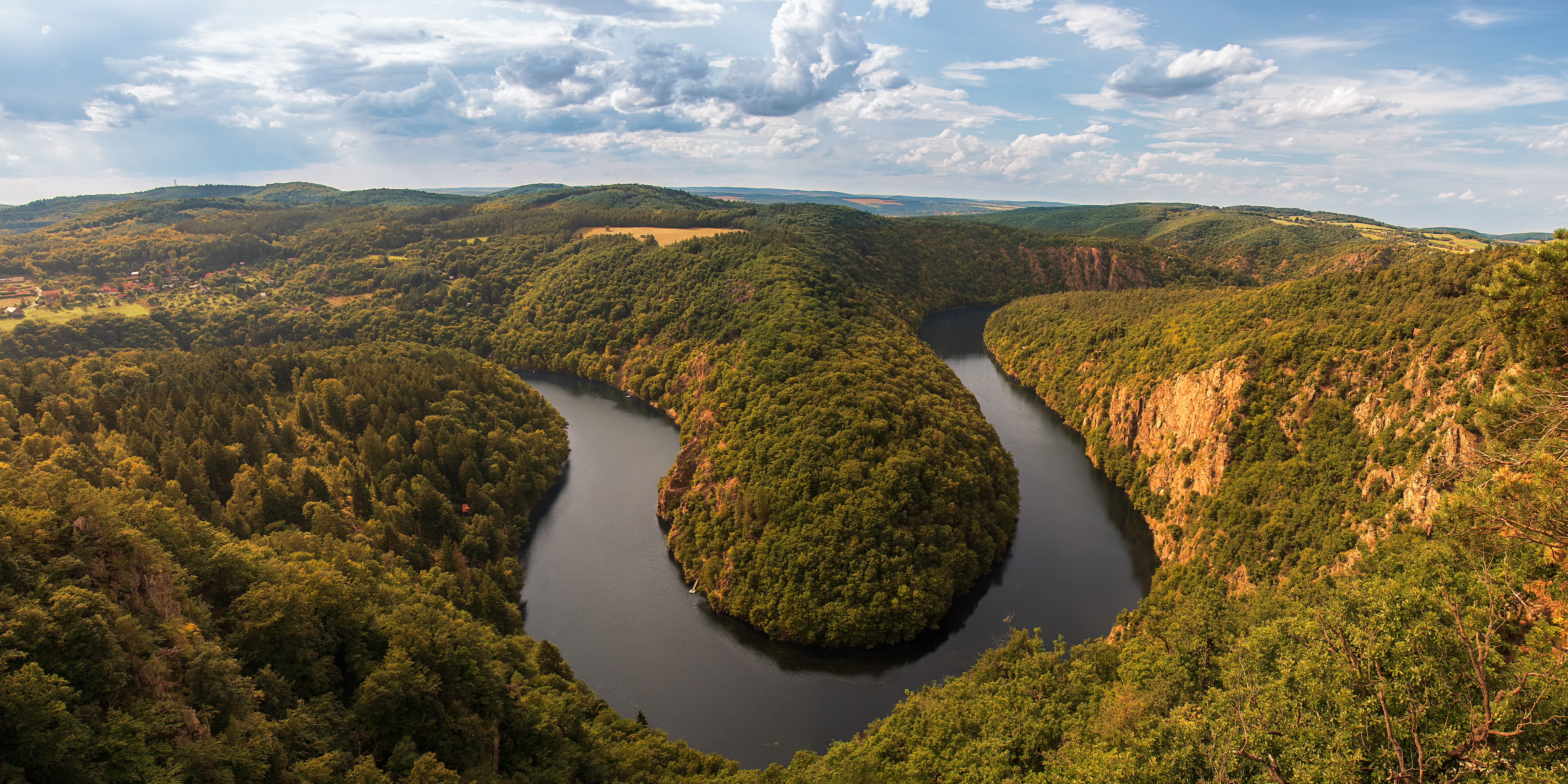
A vantage point
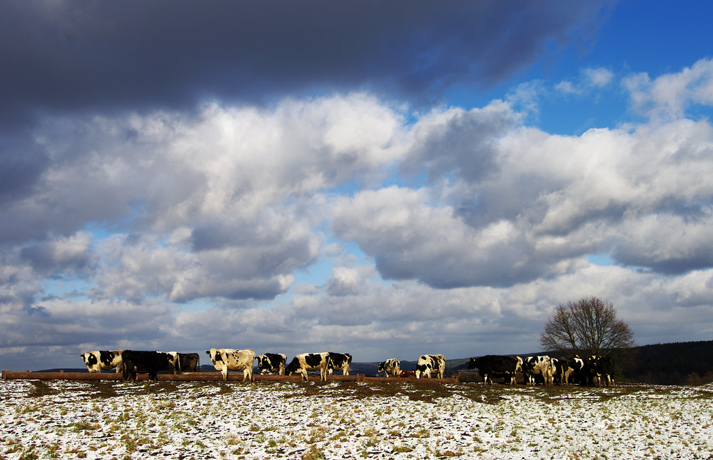
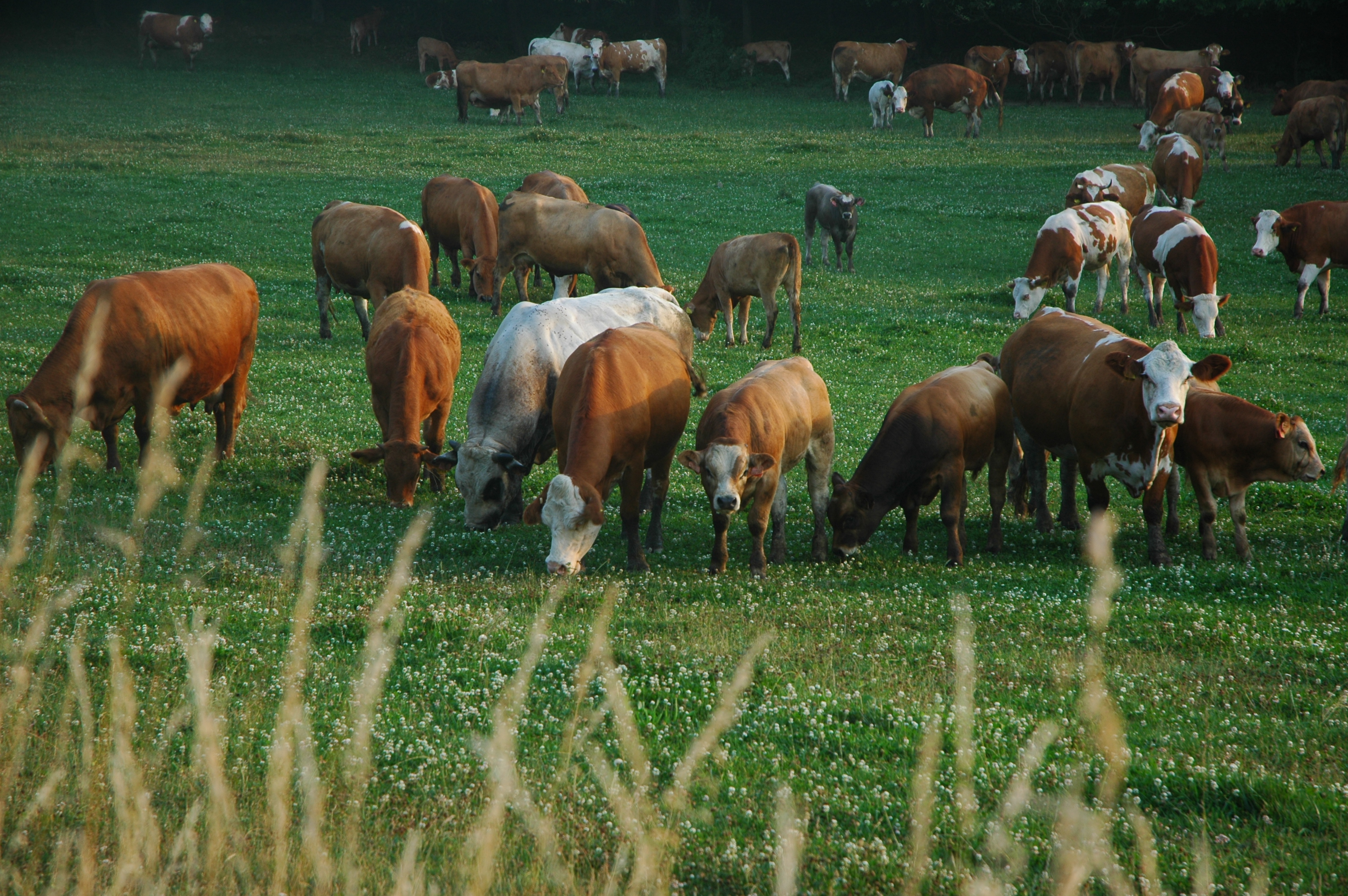
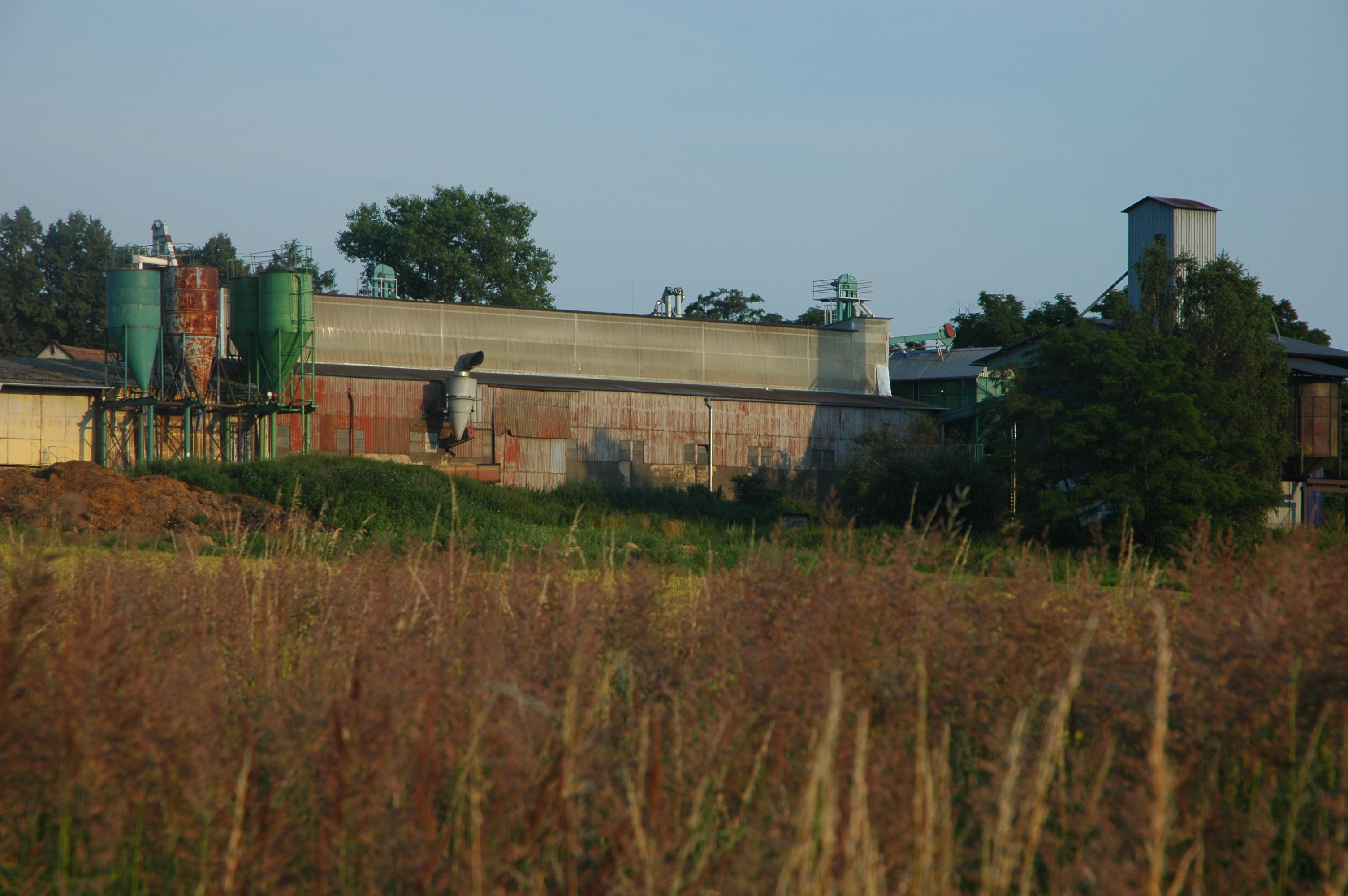
A rural view
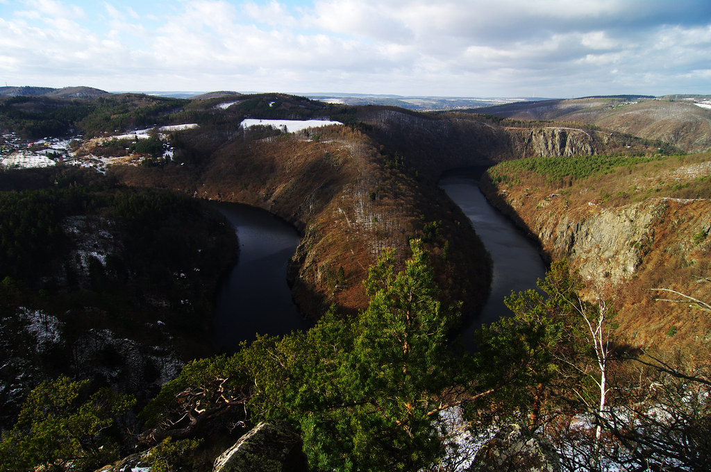
Vyhlídka Máj viewpoint
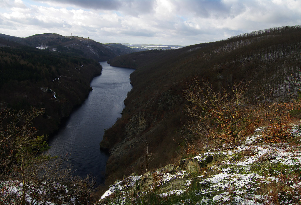
Smetanova vyhlídka
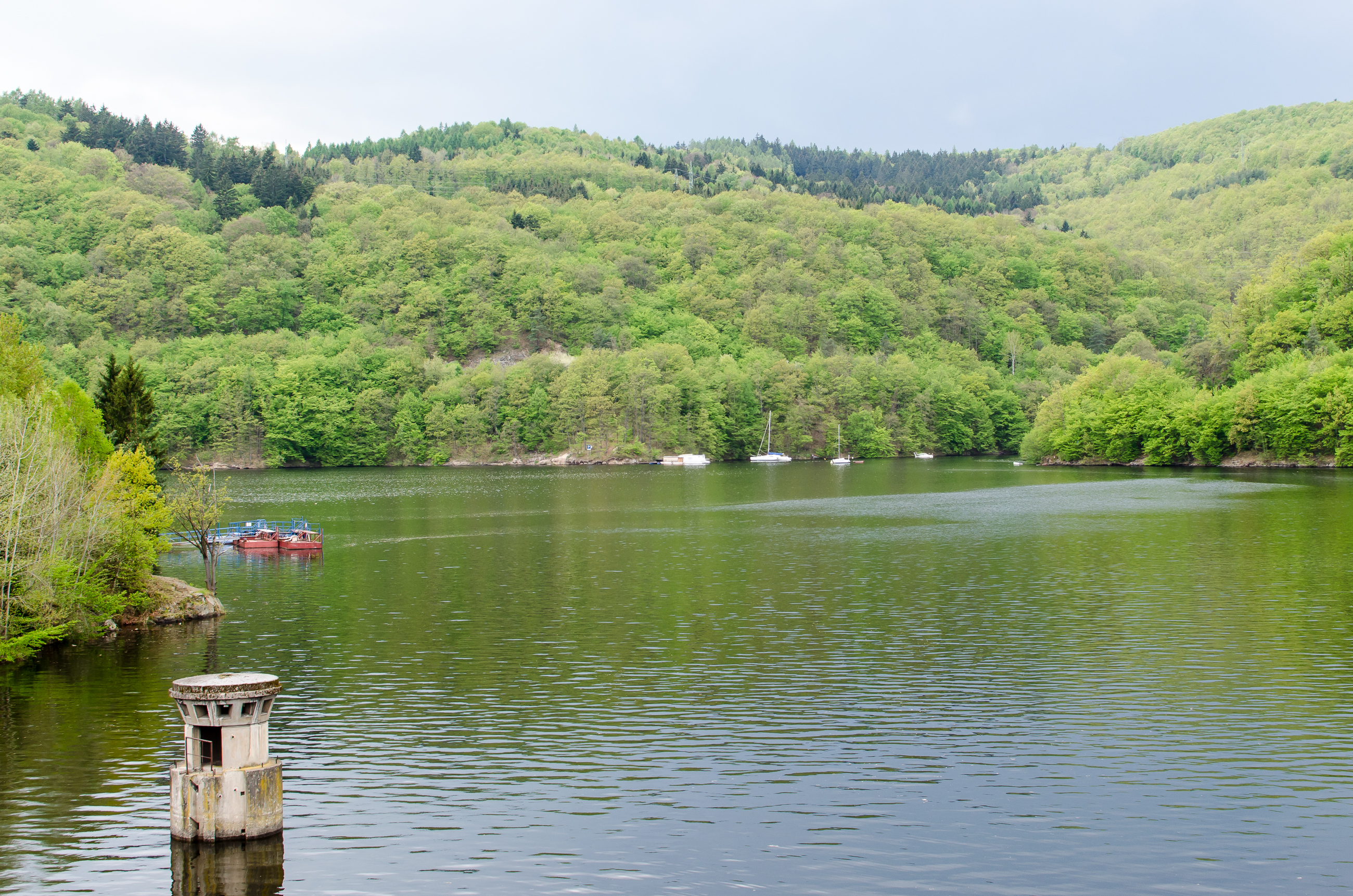
view from dam

Vyhlídka Máj
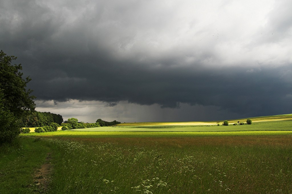
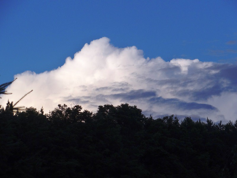
The Last Strip of Light
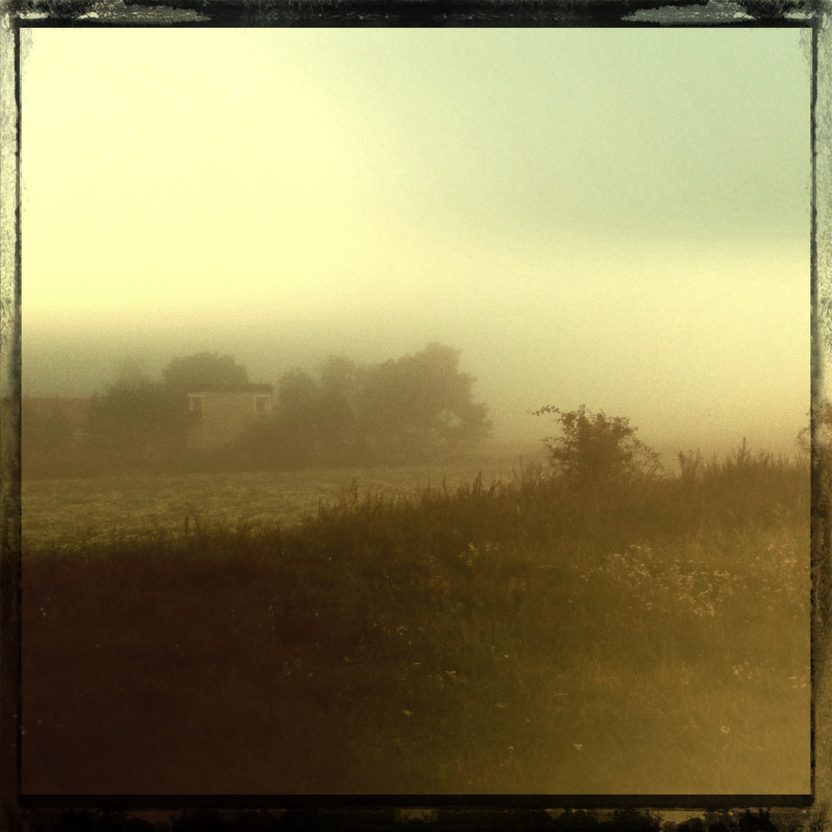
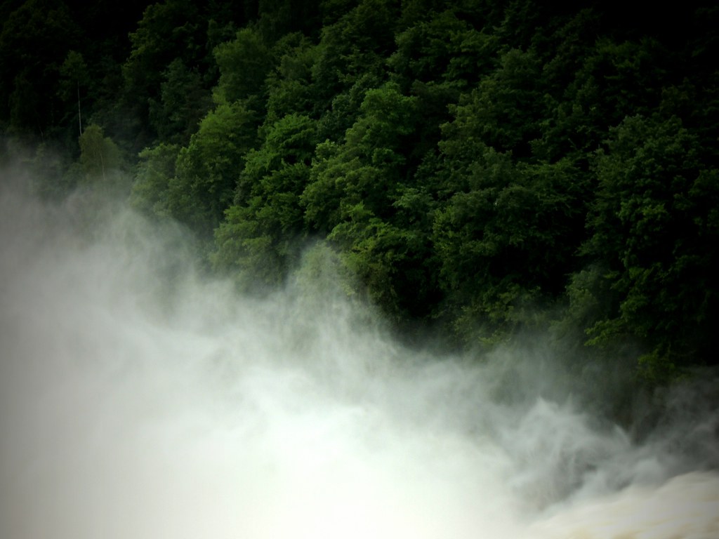
Misty morning

South from Prague
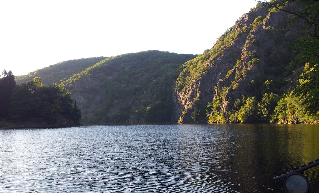
Stechovicka prehrada
DSC_9441.JPG

25 Vltava pod mostem
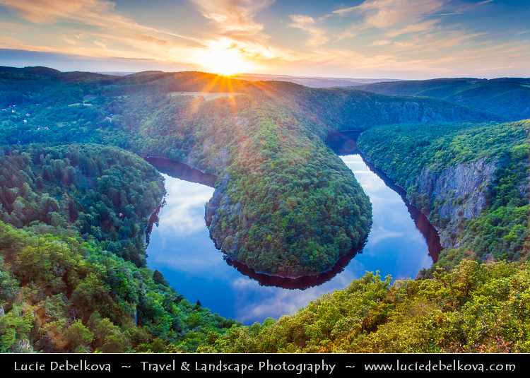
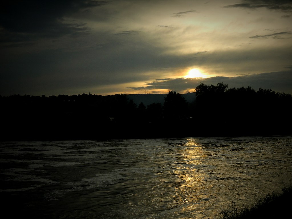
Czech Republic - Vltava River Bend at Sunset
Svatý Jan
Teletín meadows
At The River
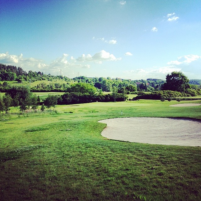
Nádhera. 14 jamka na dohled
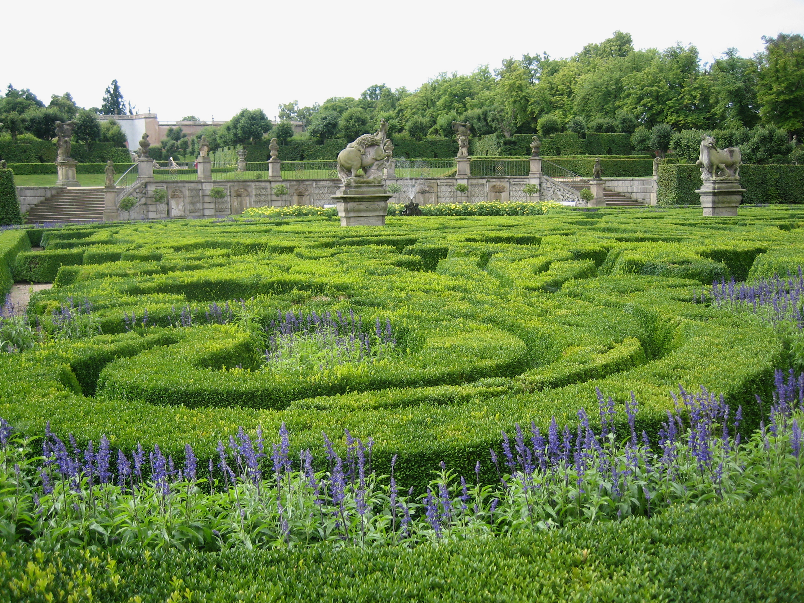
Schlosspark von Schloss Dobris

Smetanova vyhlídka
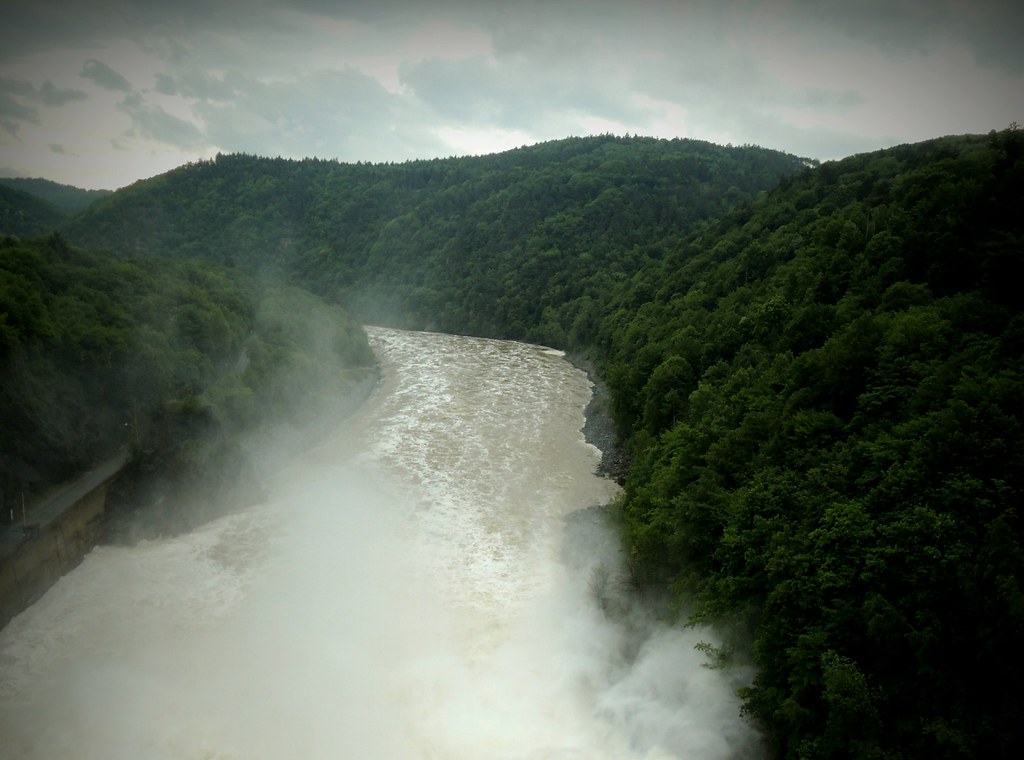
Mighty Of Water
Prag - Velka
DSC_9438.JPG
Mighty Of Water
Topographic Map of Čelina 1, 03 Borotice, Czech Republic
Find elevation by address:

Places in Čelina 1, 03 Borotice, Czech Republic:
Places near Čelina 1, 03 Borotice, Czech Republic:
Borotice, Čelina 1, 15 Borotice, Czech Republic
Borotice
Hříměždice
Hrachov
Hrachov, 56 Svatý Jan, Czech Republic
Úsuší 4, 01 Kňovice, Czech Republic
Úsuší
Vaječník 2, 01 Nečín, Czech Republic
Vaječník
Vestec 38, 01 Hřiměždice, Czech Republic
Vestec
Kňovice
Svatý Jan
Nečín
Nechvalice
Milešov
Klenovice
Drásov 29, 01 Drásov, Czech Republic
Drásov
Klenovice, 56 Milešov, Czech Republic
Recent Searches:
- Elevation of Elwyn Dr, Roanoke Rapids, NC, USA
- Elevation of Congressional Dr, Stevensville, MD, USA
- Elevation of Bellview Rd, McLean, VA, USA
- Elevation of Stage Island Rd, Chatham, MA, USA
- Elevation of Shibuya Scramble Crossing, 21 Udagawacho, Shibuya City, Tokyo -, Japan
- Elevation of Jadagoniai, Kaunas District Municipality, Lithuania
- Elevation of Pagonija rock, Kranto 7-oji g. 8"N, Kaunas, Lithuania
- Elevation of Co Rd 87, Jamestown, CO, USA
- Elevation of Tenjo, Cundinamarca, Colombia
- Elevation of Côte-des-Neiges, Montreal, QC H4A 3J6, Canada