Elevation of - Crowder Ln, Doyle, CA, USA
Location: United States > California > Doyle >
Longitude: -120.07693
Latitude: 39.9671757
Elevation: 1323m / 4341feet
Barometric Pressure: 86KPa
Elevation Map:
Satellite Map:
Related Photos:
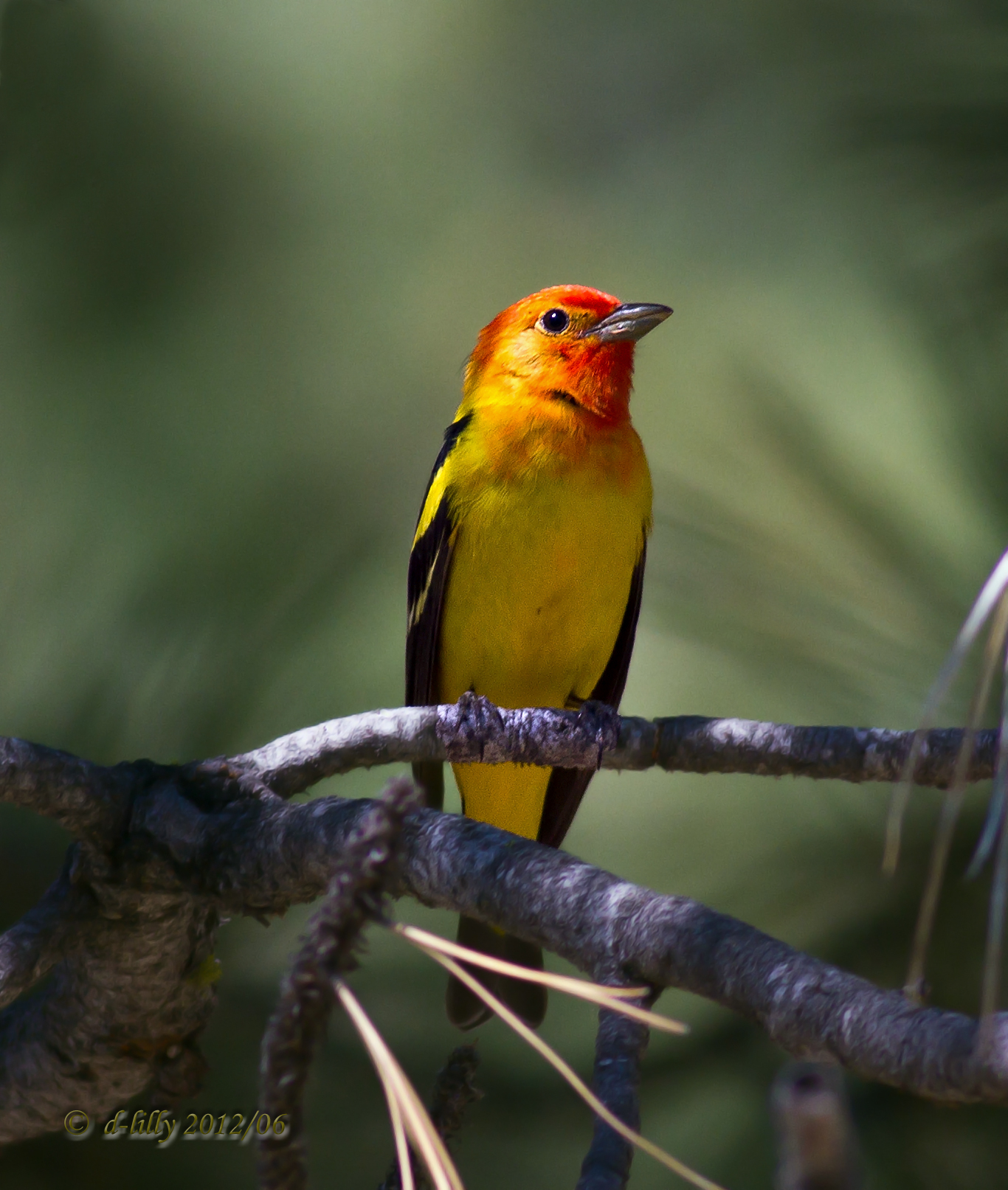
In the woods. (Explored #314)
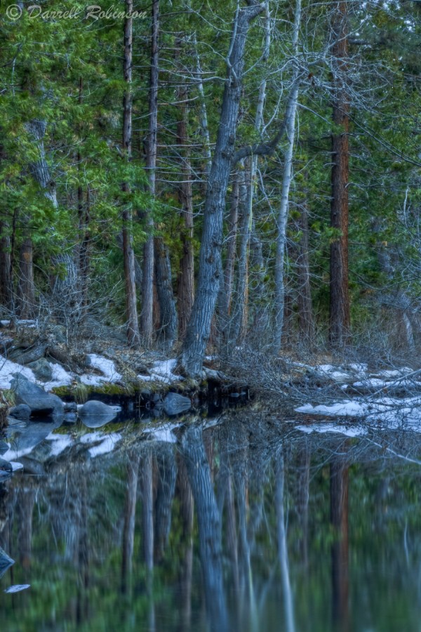
Reflections in Little Last Chance Creek

Last Chance Canyon

RedRockPeak_20081130-113738
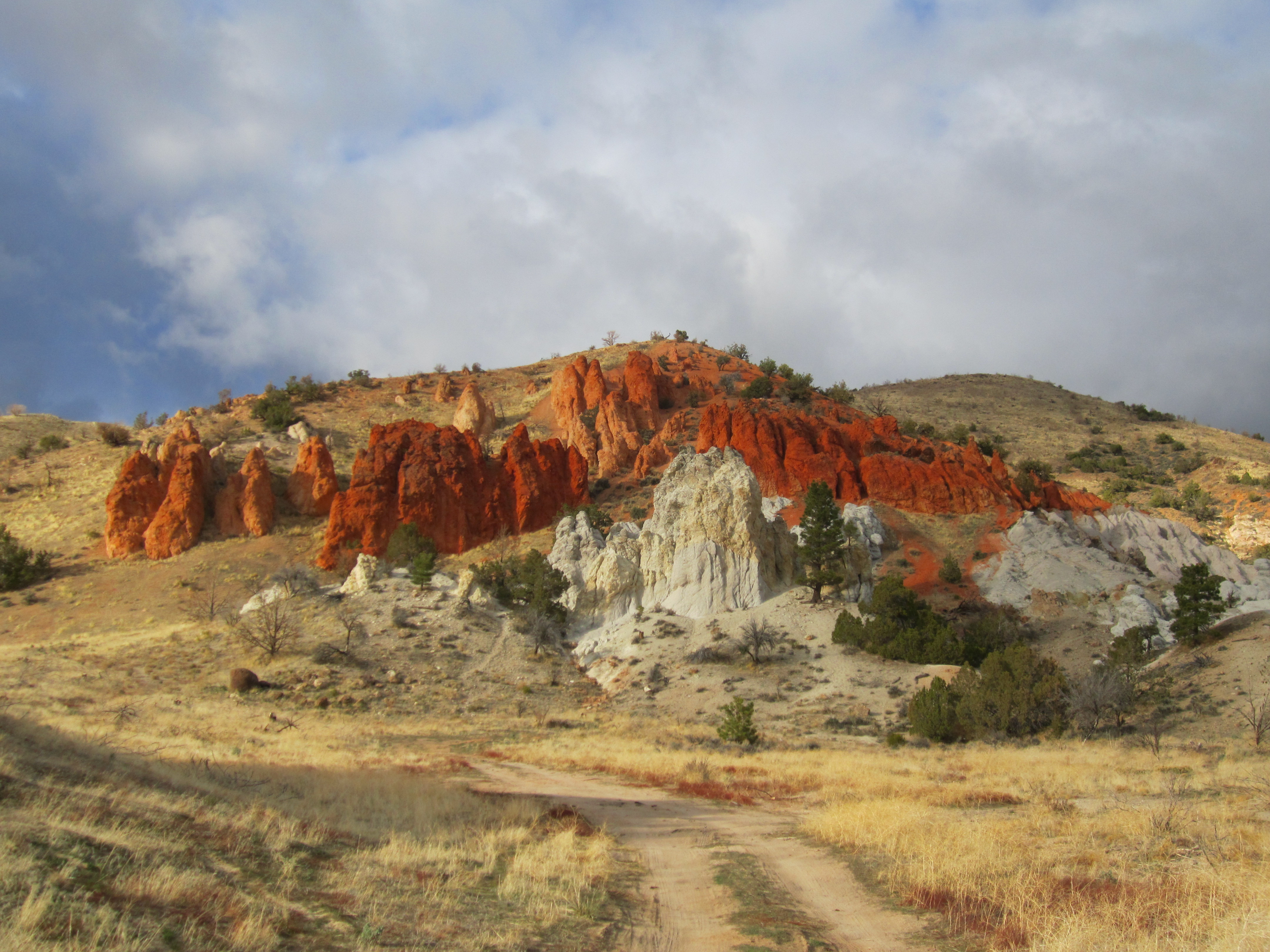
Red Rock

Frenchman Lake Road
Despite drought, CA still has water if you know where to look.

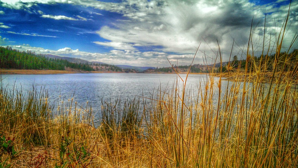
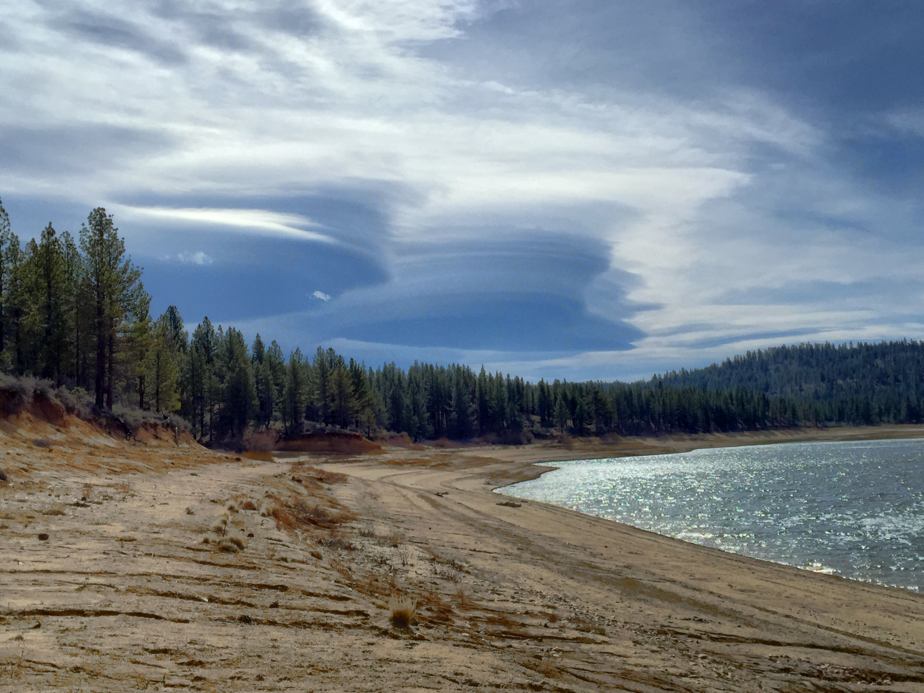
A great day for cloud watching at Frenchmans Lake
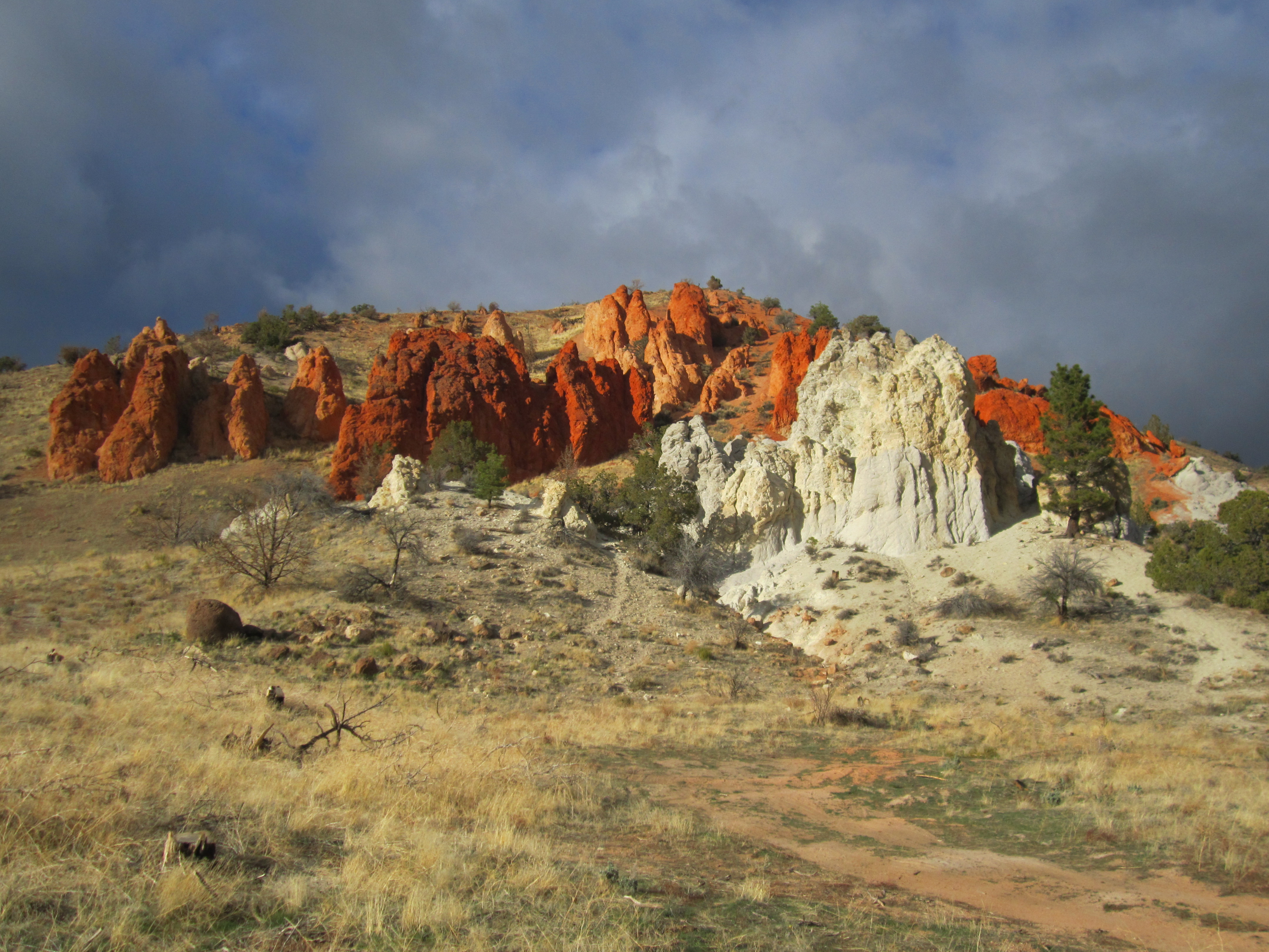
Red Rock
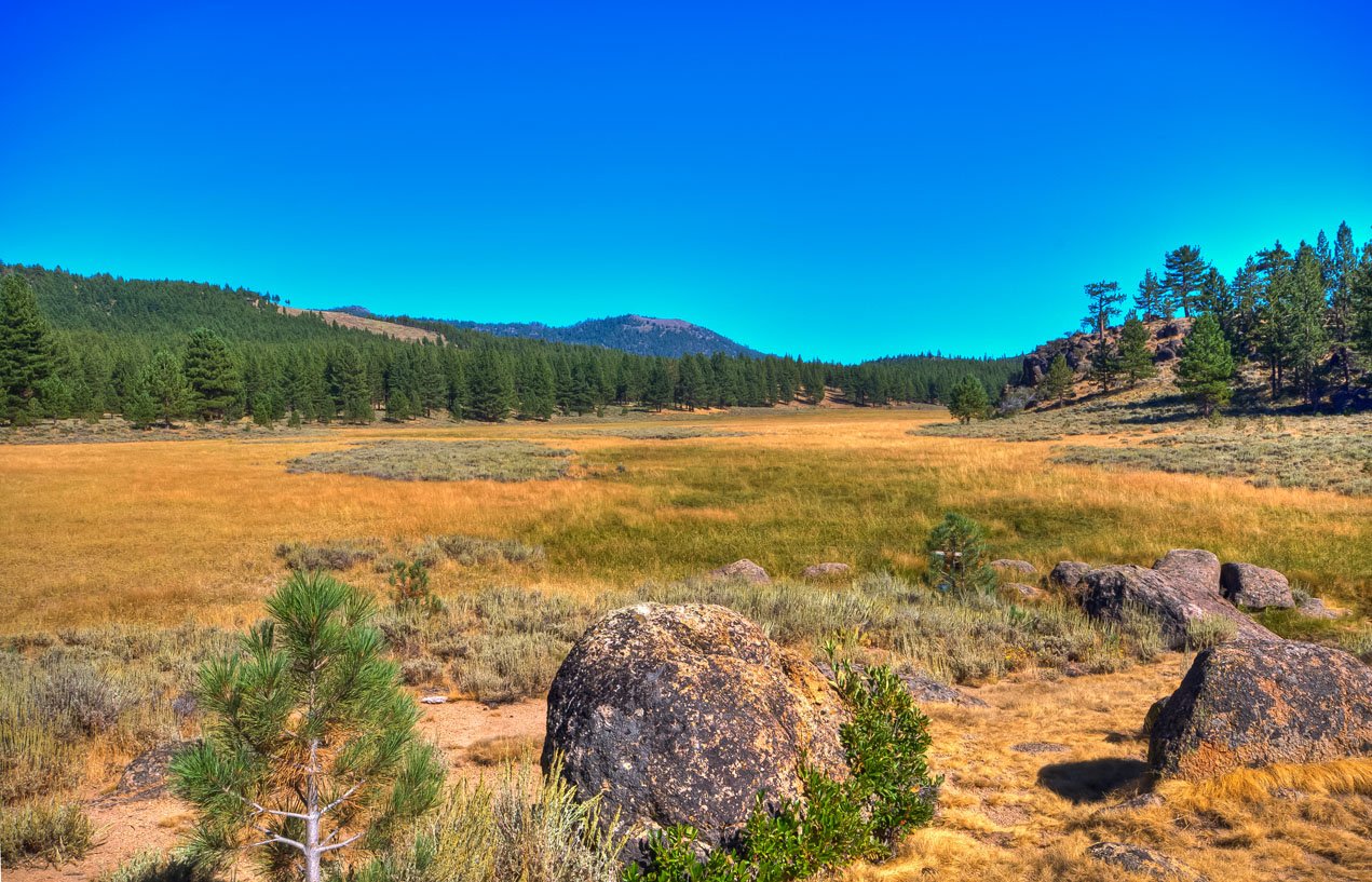
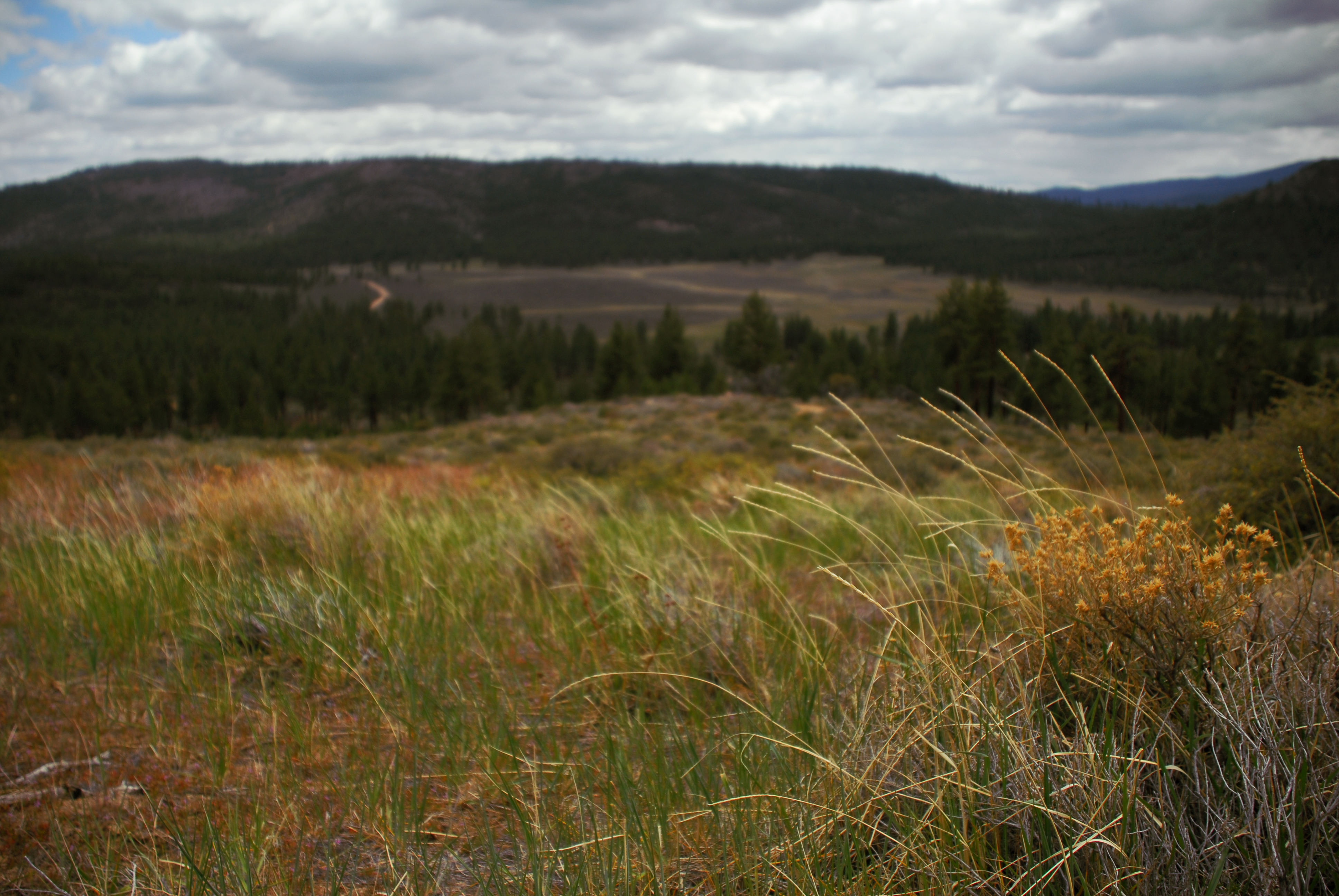
Meadow near Frenchman's Reservoir, California
Peterson Mountain
Pi day 2015

Peterson Mountain

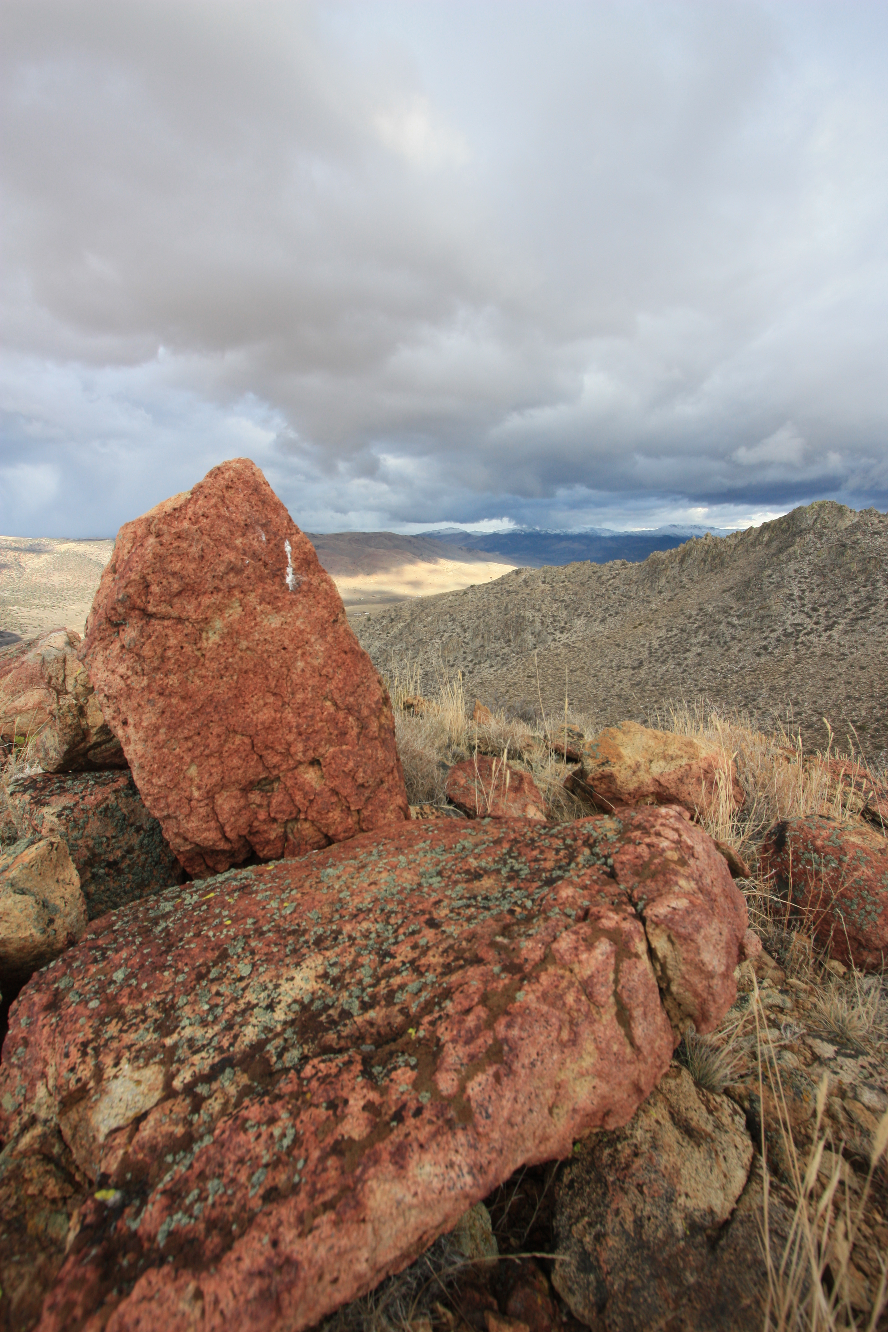
Red Rocks north of Reno
Peterson Mountain
Red Rock

Last Chance Canyon
Coral Hairstreak (Satyrium titus)

Hwy 395 heading home from Reno 29 Sept 2013

Last Chance Canyon
Meadow near Frenchman's Reservoir, California

Frenchman Lake Road
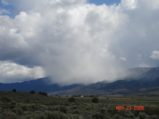
there's some rain over there ... glad I'm here
hill above meadowview
Topographic Map of - Crowder Ln, Doyle, CA, USA
Find elevation by address:

Places near - Crowder Ln, Doyle, CA, USA:
Adams Peak
Doyle
State Line Peak
670 Appaloosa Cir
21905 Fetlock Dr
Frenchman Lake Road
Chilcoot-vinton
15305 N Red Rock Rd
Beckwourth Pass
CA-70, Chilcoot, CA, USA
Chilcoot
Dixie Lane
15100 N Red Rock Rd
Sierra Army Depot
Herlong
55 Horseshoe Cir
60 Horseshoe Cir
Pine St, Susanville, CA, USA
107 Aspen
107 Aspen St
Recent Searches:
- Elevation of W Granada St, Tampa, FL, USA
- Elevation of Pykes Down, Ivybridge PL21 0BY, UK
- Elevation of Jalan Senandin, Lutong, Miri, Sarawak, Malaysia
- Elevation of Bilohirs'k
- Elevation of 30 Oak Lawn Dr, Barkhamsted, CT, USA
- Elevation of Luther Road, Luther Rd, Auburn, CA, USA
- Elevation of Unnamed Road, Respublika Severnaya Osetiya — Alaniya, Russia
- Elevation of Verkhny Fiagdon, North Ossetia–Alania Republic, Russia
- Elevation of F. Viola Hiway, San Rafael, Bulacan, Philippines
- Elevation of Herbage Dr, Gulfport, MS, USA