Elevation of 산 Cheondo-ri, Seohwa-myeon, Inje, Gangwon-do, South Korea
Location: South Korea > Gangwon-do > Inje-gun >
Longitude: 128.186302
Latitude: 38.2244512
Elevation: 549m / 1801feet
Barometric Pressure: 95KPa
Elevation Map:
Satellite Map:
Related Photos:
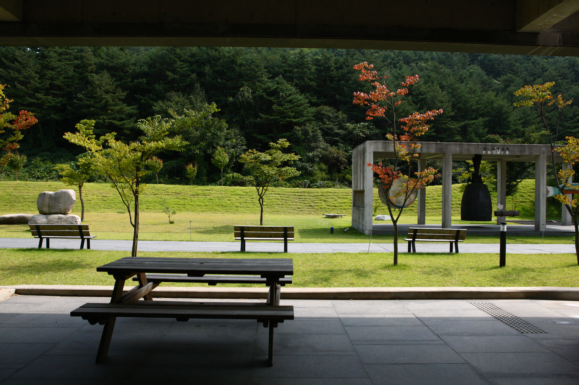
KOREA_One of the Largest and Most Modern Buddhist Complexes: Manhae Village (Baekdamsa Temple, Gangwon-do)
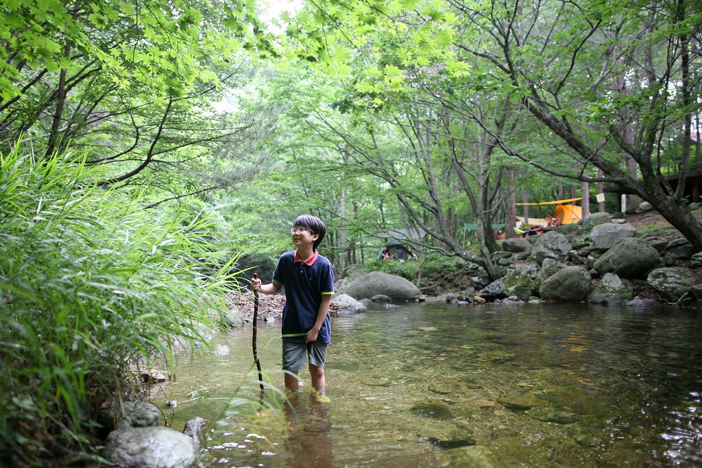
Hidden Mountain Bridge

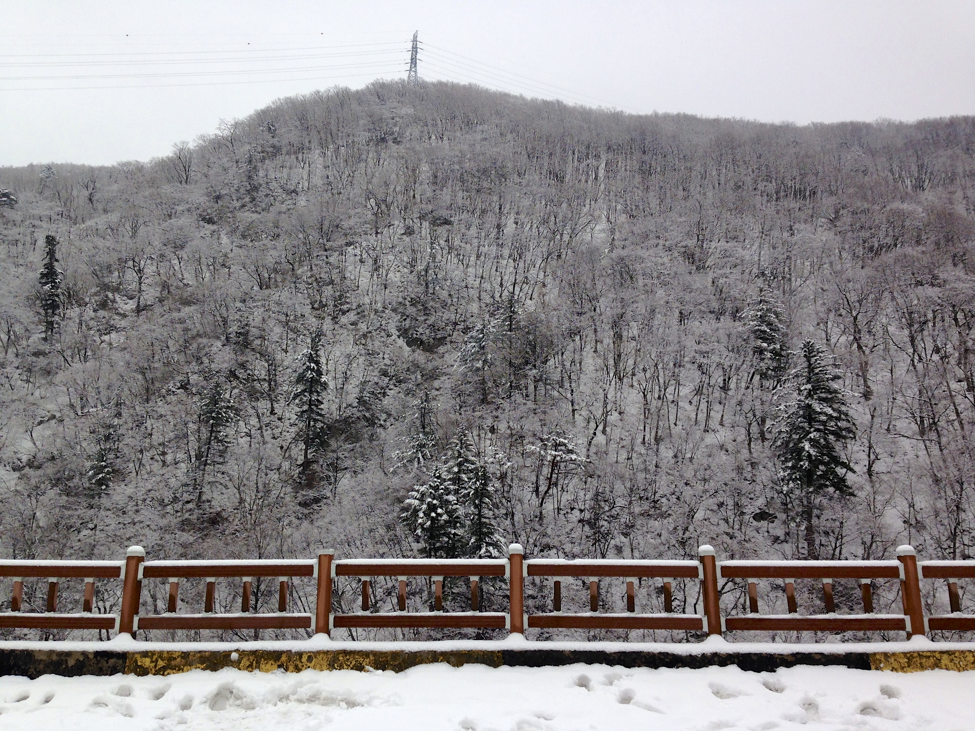
설악산

설악산
인공치곤 고퀄이네 ㅎㅎ
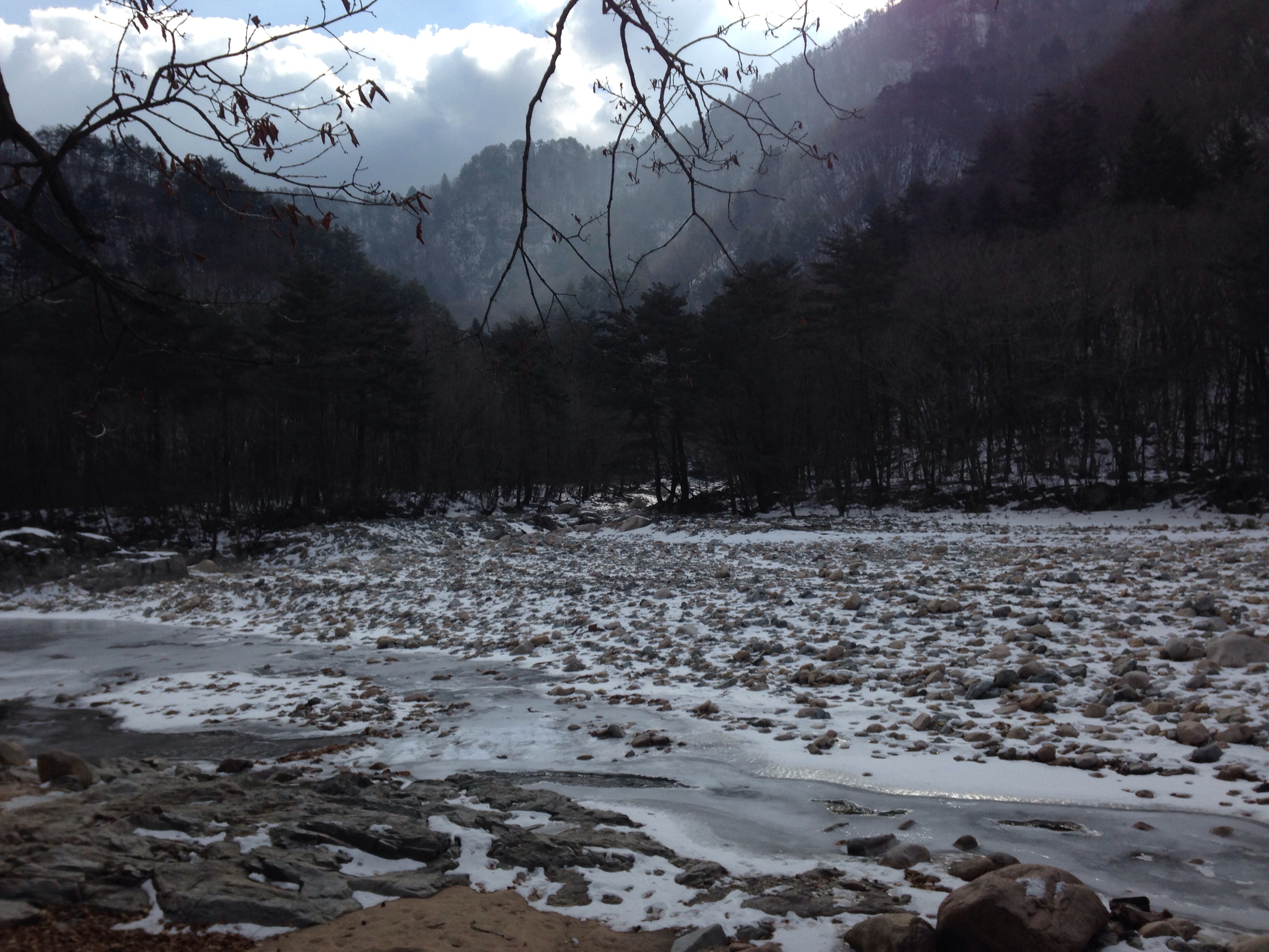
설악산 백담사, 2013-01-18
IMG_1900 e
IMG_2868 - Version 2
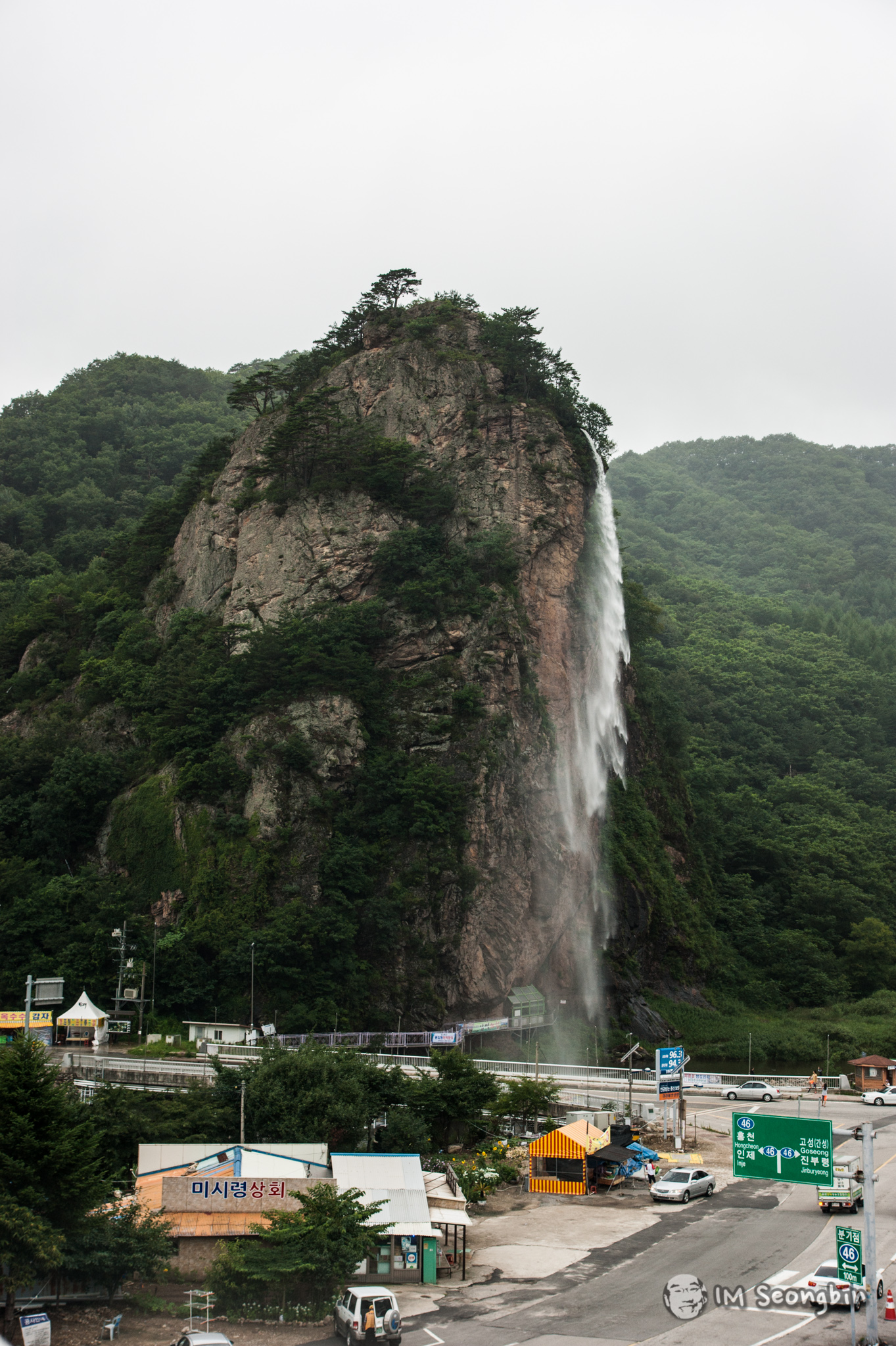
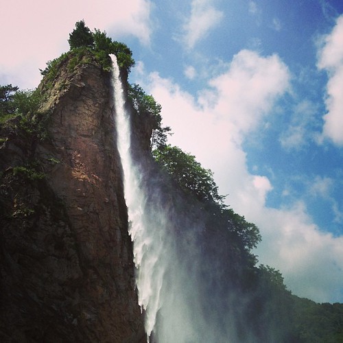
Artificial Waterfall (인공폭포)
Topographic Map of 산 Cheondo-ri, Seohwa-myeon, Inje, Gangwon-do, South Korea
Find elevation by address:

Places in 산 Cheondo-ri, Seohwa-myeon, Inje, Gangwon-do, South Korea:
Places near 산 Cheondo-ri, Seohwa-myeon, Inje, Gangwon-do, South Korea:
Recent Searches:
- Elevation of Brooks Lp, Spearfish, SD, USA
- Elevation of Panther Dr, Maggie Valley, NC, USA
- Elevation of Jais St - Wadi Shehah - Ras al Khaimah - United Arab Emirates
- Elevation of Shawnee Avenue, Shawnee Ave, Easton, PA, USA
- Elevation of Scenic Shore Dr, Kingwood Area, TX, USA
- Elevation of W Prive Cir, Delray Beach, FL, USA
- Elevation of S Layton Cir W, Layton, UT, USA
- Elevation of F36W+3M, Mussoorie, Uttarakhand, India
- Elevation of Fairland Ave, Fairhope, AL, USA
- Elevation of Sunset Dr, Richmond, VA, USA