Elevation of -6 Shiwachō Befu, Higashihiroshima-shi, Hiroshima-ken -, Japan
Location: Japan > Hiroshima Prefecture > Higashihiroshima >
Longitude: 132.643003
Latitude: 34.4847888
Elevation: 227m / 745feet
Barometric Pressure: 99KPa
Elevation Map:
Satellite Map:
Related Photos:
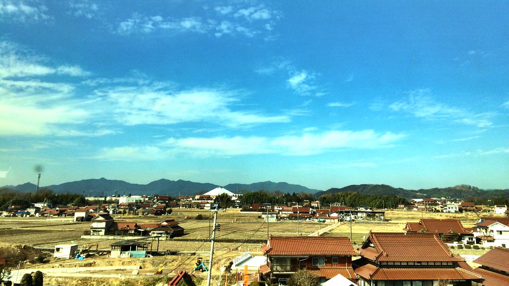
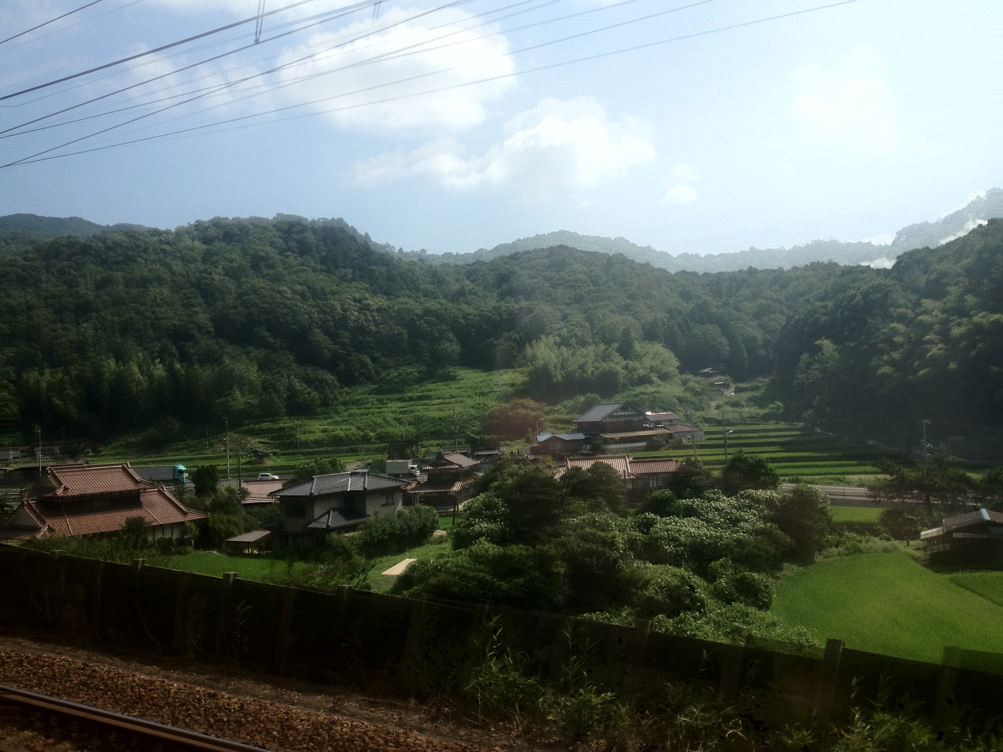
View of Japan by Shinkansen

View of Japan by train
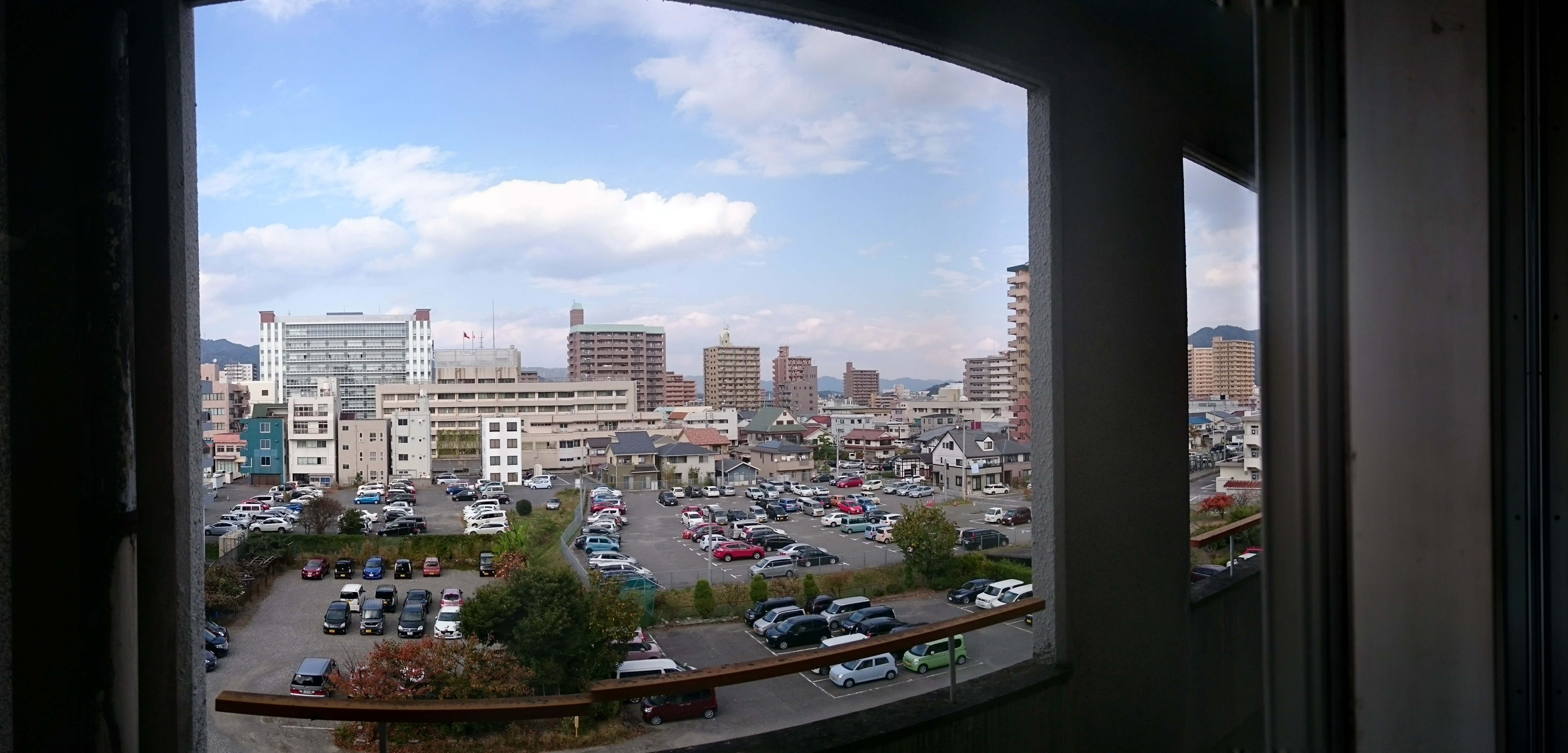
view from my window

Made it halfway on today's 2 hour training run - beautiful views all the way #hiroshima

Home tea ceremony, Hiroshima
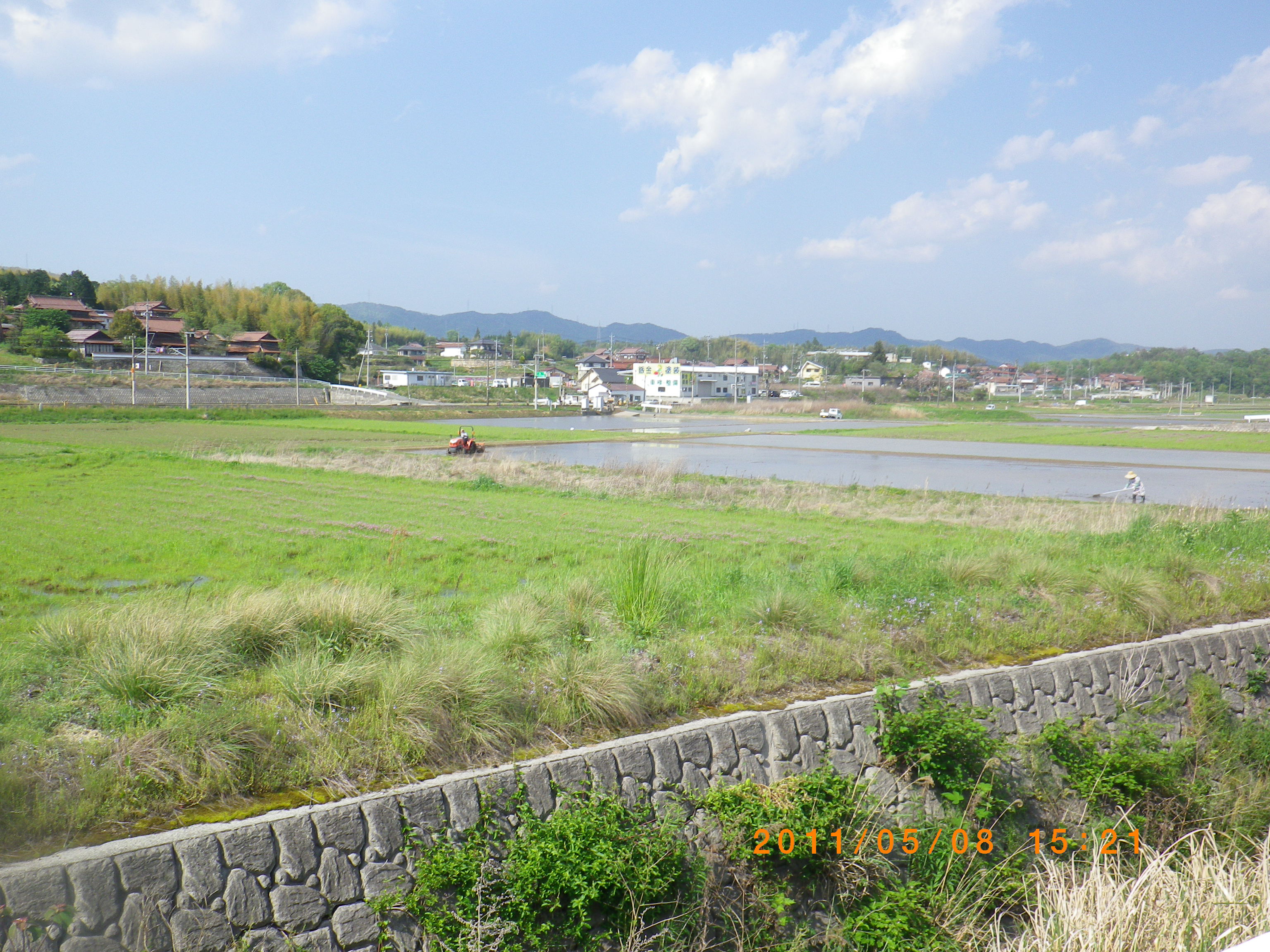
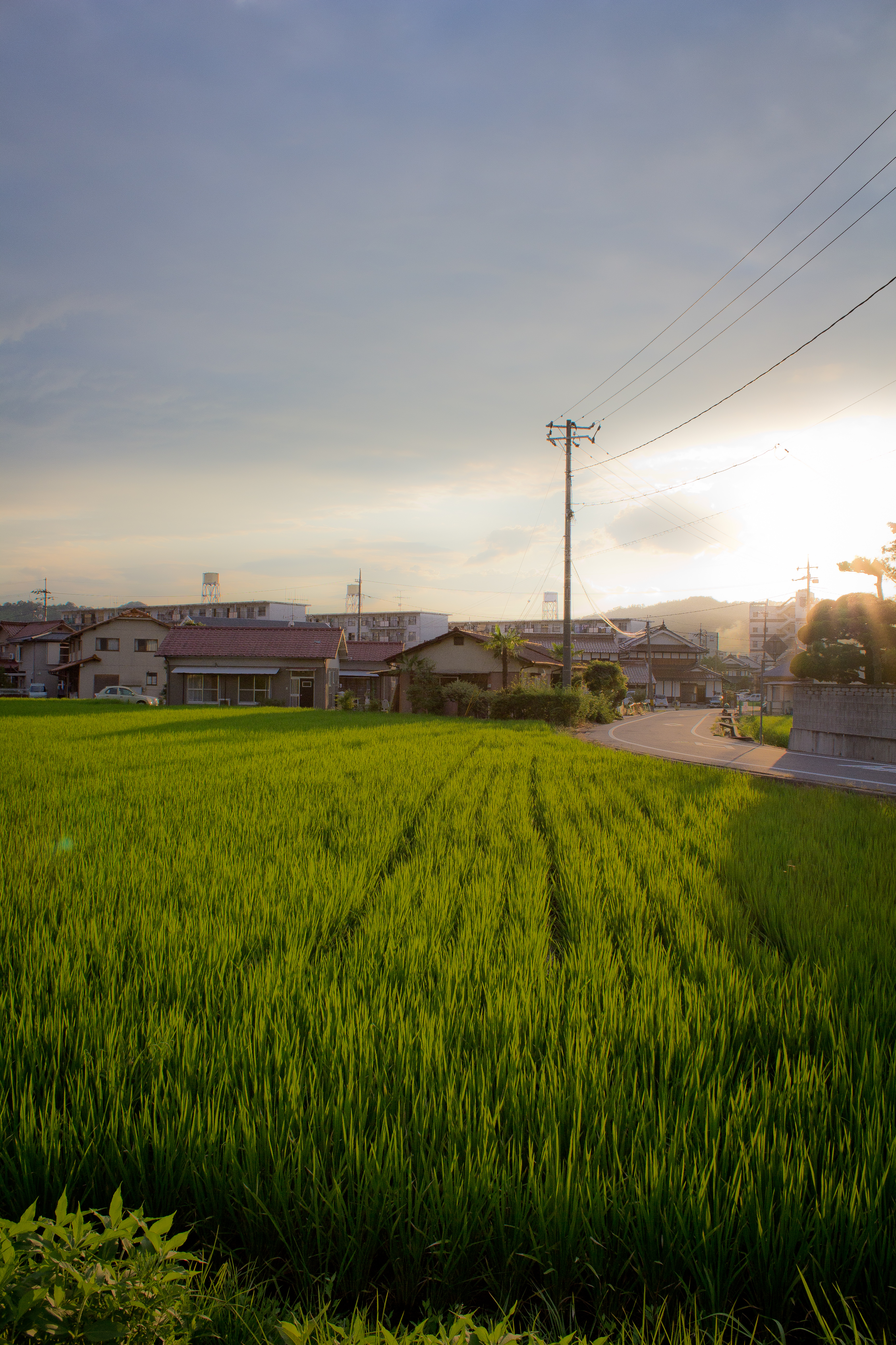
Rice planting
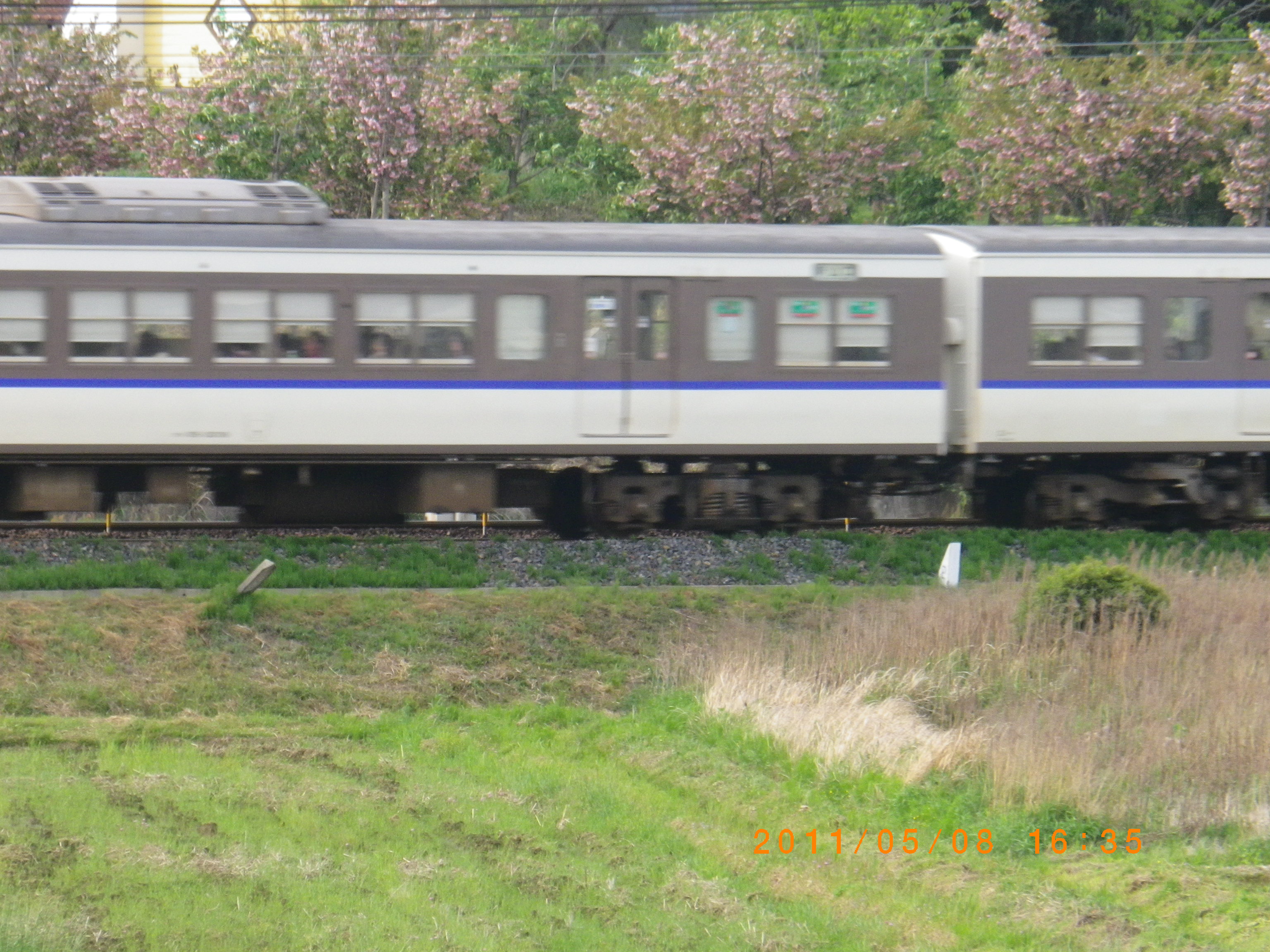
Train passing through the fields
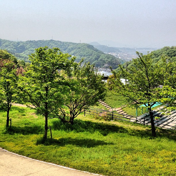
Kaita park- view of the Seto-Naikai
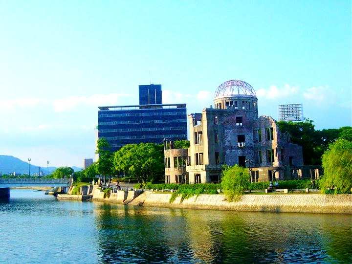
Bomb Dome
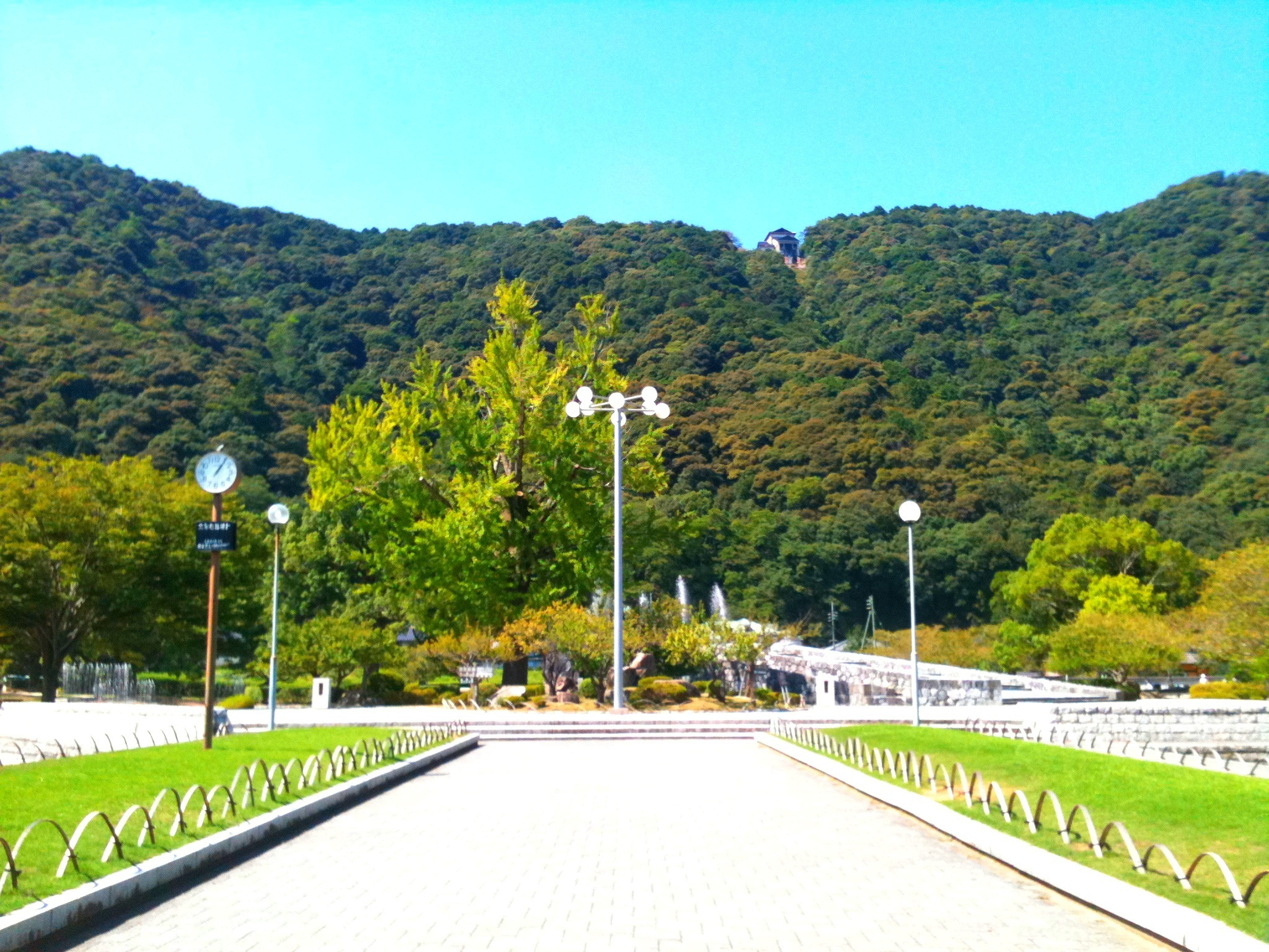
Kikko Park, Iwakuni, Japan
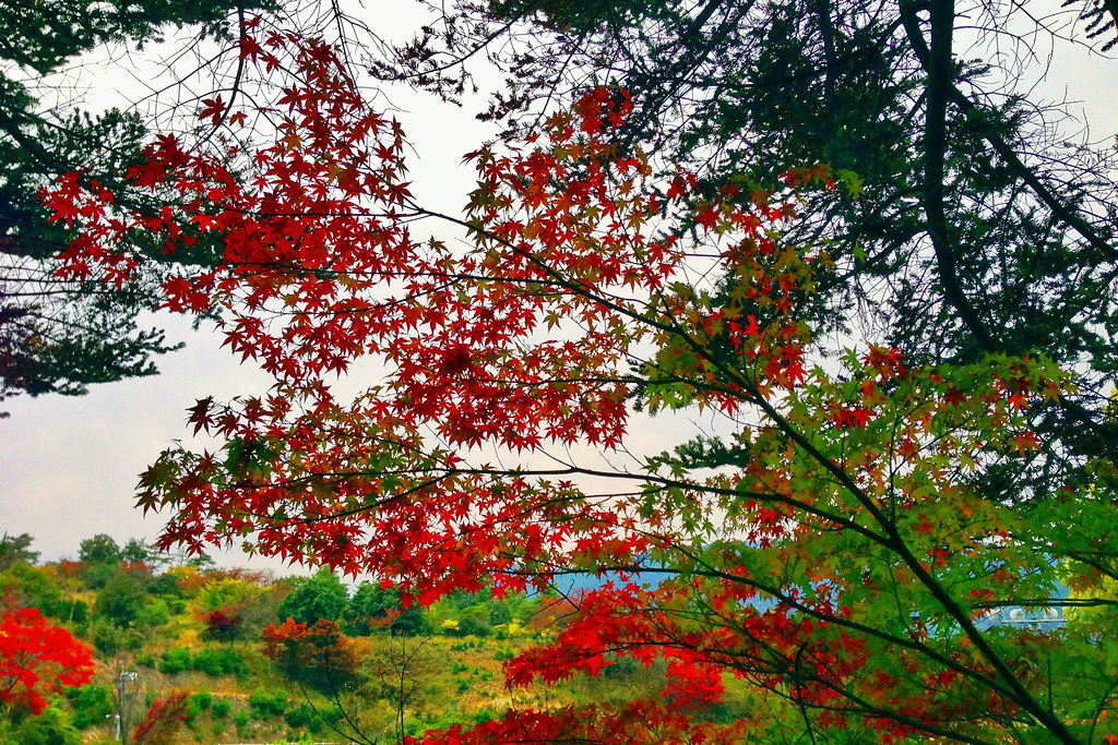
Autumnal leaves
Sunset in Saijo

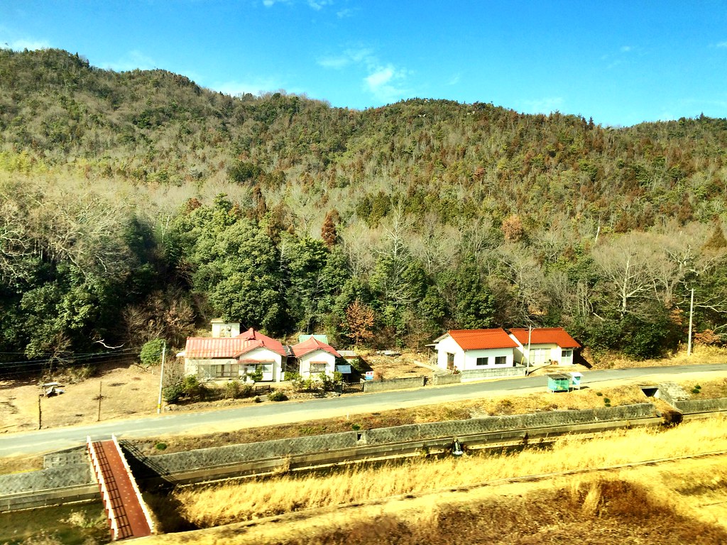
田舎の空
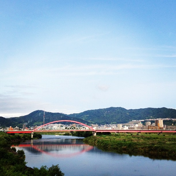
安芸大橋
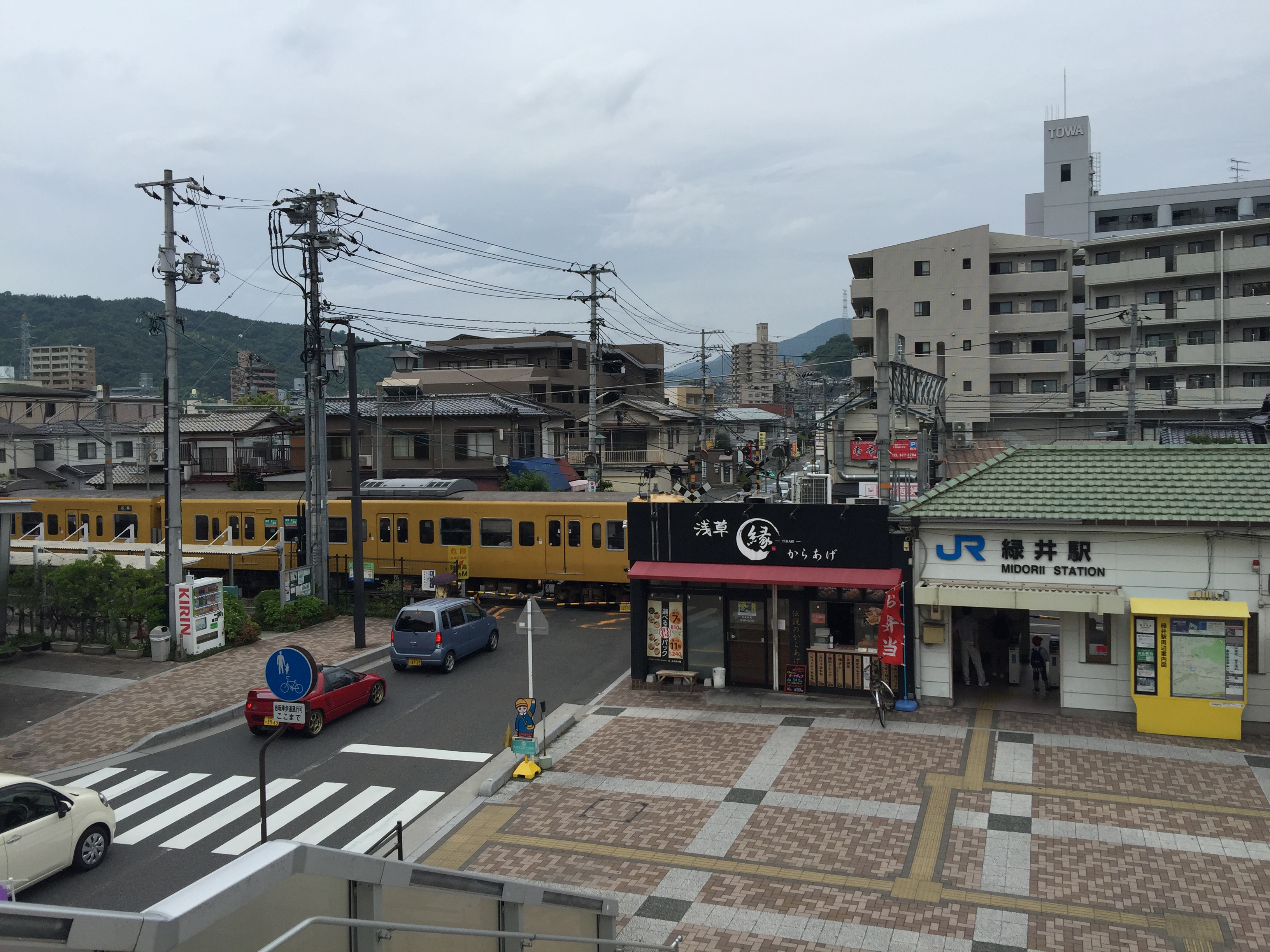
踏切のある光景
Shinkansen train ride back to Tokyo

Japan by train

こんな風景。

Snowy field in Japan
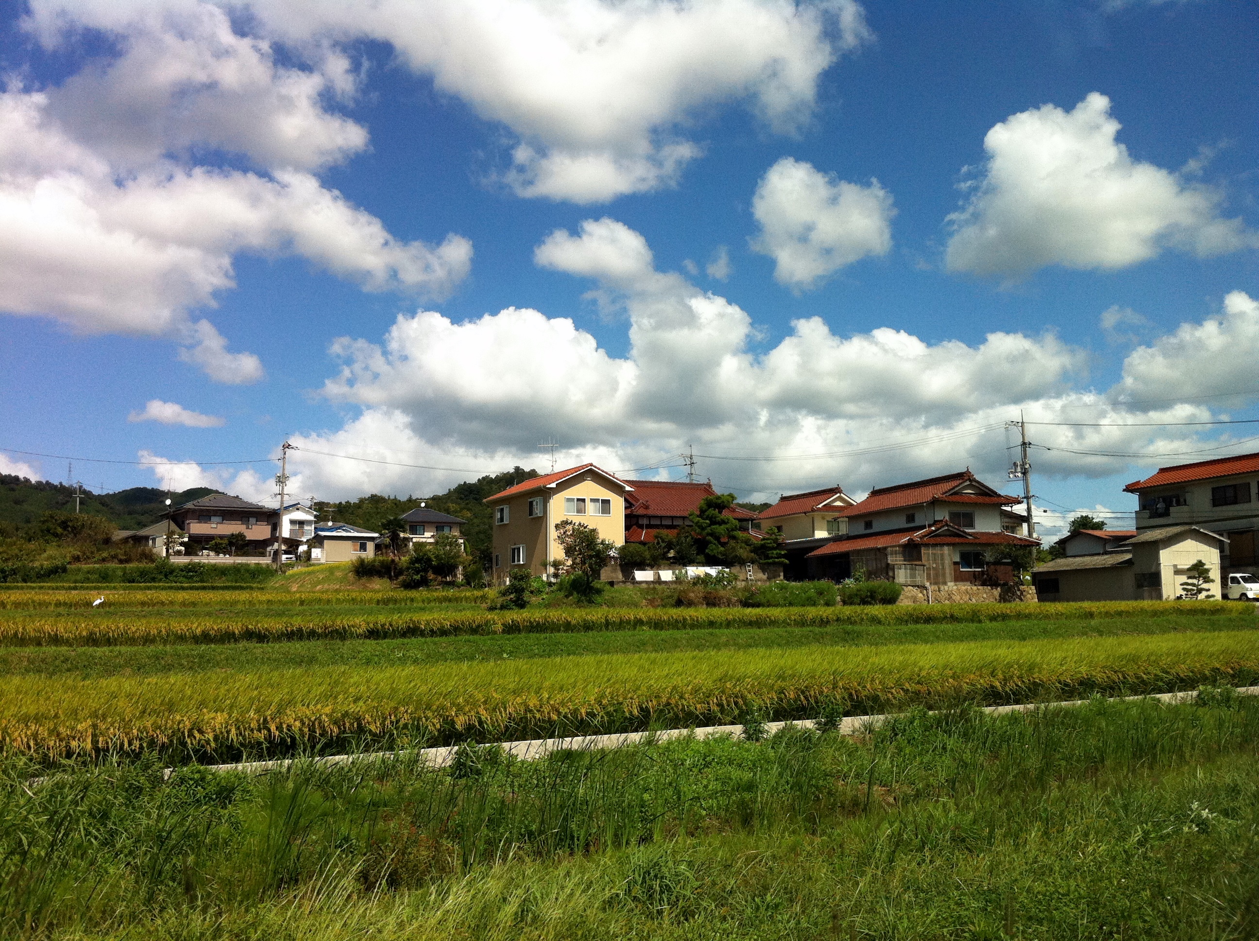
Sunny Hiroshima
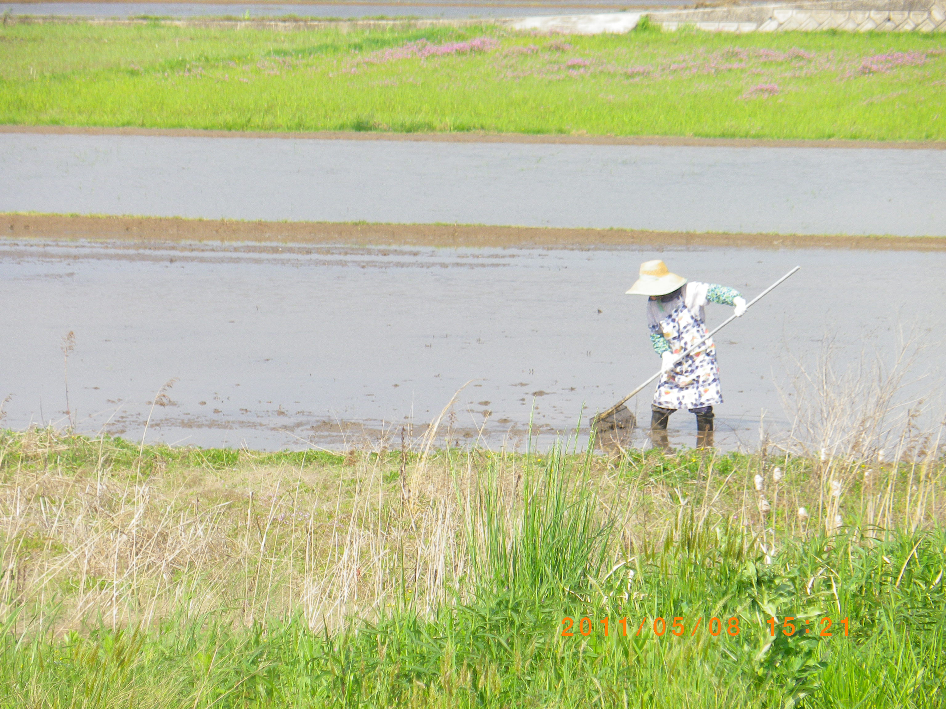
Rice planting

青春18きっぷの旅をして来たよ!

登山しているわけではない

どうしてこうなった

青春18きっぷの旅をして来たよ!
青春18きっぷの旅をして来たよ!

Kabe line(between Kodo and Aki-kameyama)
Topographic Map of -6 Shiwachō Befu, Higashihiroshima-shi, Hiroshima-ken -, Japan
Find elevation by address:

Places near -6 Shiwachō Befu, Higashihiroshima-shi, Hiroshima-ken -, Japan:
Shirakichō Ōaza Mita, Asakita-ku, Hiroshima-shi, Hiroshima-ken -, Japan
Kamisenochō, Aki-ku, Hiroshima-shi, Hiroshima-ken -, Japan
無連寺集会所
1890 Shirakichō Ōaza Akiyama
Senochō, Aki-ku, Hiroshima-shi, Hiroshima-ken -, Japan
1 Chome-18-14 Kamiseno, Aki-ku, Hiroshima-shi, Hiroshima-ken -, Japan
Shirakichō Ōaza Okoe, Asakita-ku, Hiroshima-shi, Hiroshima-ken -, Japan
5 Chome-4-12 Seno, Aki-ku, Hiroshima-shi, Hiroshima-ken -, Japan
Shirakichō Ōaza Ichikawa, Asakita-ku, Hiroshima-shi, Hiroshima-ken -, Japan
Kamifukawachō, Asakita-ku, Hiroshima-shi, Hiroshima-ken -, Japan
Ogawarachō, Asakita-ku, Hiroshima-shi, Hiroshima-ken -, Japan
Hachihonmatsuchōhara, Higashihiroshima-shi, Hiroshima-ken -, Japan
Saijōchō Jike, Higashihiroshima-shi, Hiroshima-ken -, Japan
Shirakichō Ōaza Ibara, Asakita-ku, Hiroshima-shi, Hiroshima-ken -, Japan
Atochō, Aki-ku, Hiroshima-shi, Hiroshima-ken -, Japan
6 Chome-50-12-15 Nakanohigashi, Aki-ku, Hiroshima-shi, Hiroshima-ken -, Japan
7 Chome-33-48 Fukawa, Asakita-ku, Hiroshima-shi, Hiroshima-ken -, Japan
Shirakichō Ōaza Shiji, Asakita-ku, Hiroshima-shi, Hiroshima-ken -, Japan
6 Chome-10-3 Saijōshitami, Higashihiroshima-shi, Hiroshima-ken -, Japan
4 Chome-20-26 Fukawa, Asakita-ku, Hiroshima-shi, Hiroshima-ken -, Japan
Recent Searches:
- Elevation of Lampiasi St, Sarasota, FL, USA
- Elevation of Elwyn Dr, Roanoke Rapids, NC, USA
- Elevation of Congressional Dr, Stevensville, MD, USA
- Elevation of Bellview Rd, McLean, VA, USA
- Elevation of Stage Island Rd, Chatham, MA, USA
- Elevation of Shibuya Scramble Crossing, 21 Udagawacho, Shibuya City, Tokyo -, Japan
- Elevation of Jadagoniai, Kaunas District Municipality, Lithuania
- Elevation of Pagonija rock, Kranto 7-oji g. 8"N, Kaunas, Lithuania
- Elevation of Co Rd 87, Jamestown, CO, USA
- Elevation of Tenjo, Cundinamarca, Colombia