Elevation of 9 Noontootla Ridge Ct, Blue Ridge, GA, USA
Location: United States > Georgia > Fannin County > Blue Ridge >
Longitude: -84.220331
Latitude: 34.7383309
Elevation: 619m / 2031feet
Barometric Pressure: 94KPa
Elevation Map:
Satellite Map:
Related Photos:

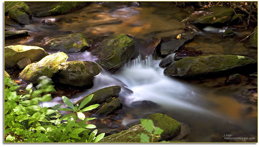
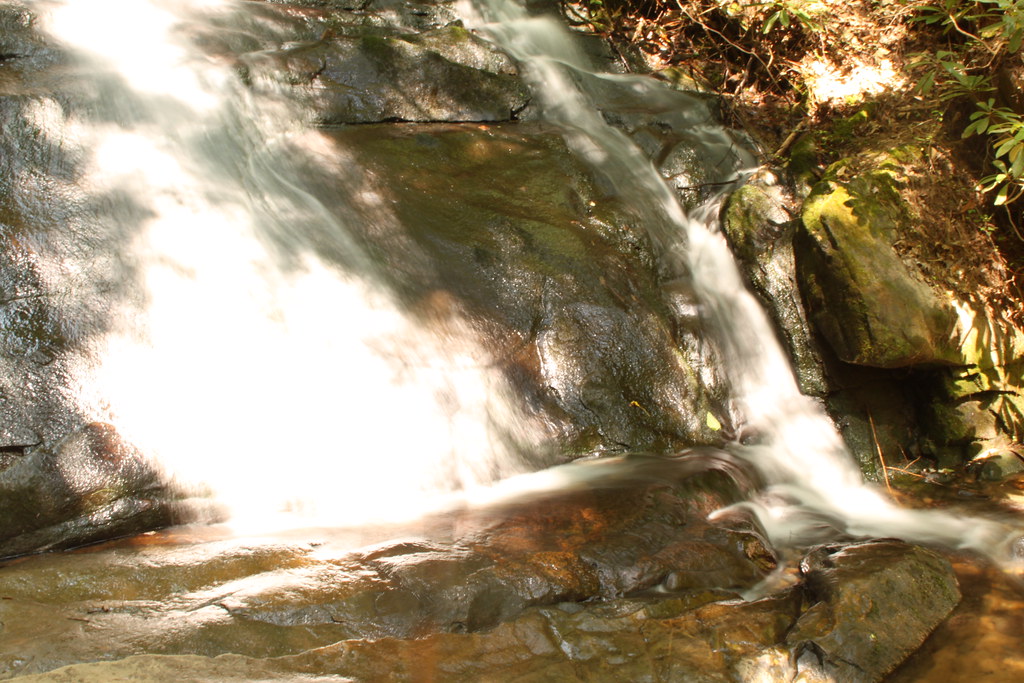
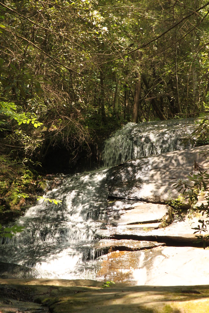
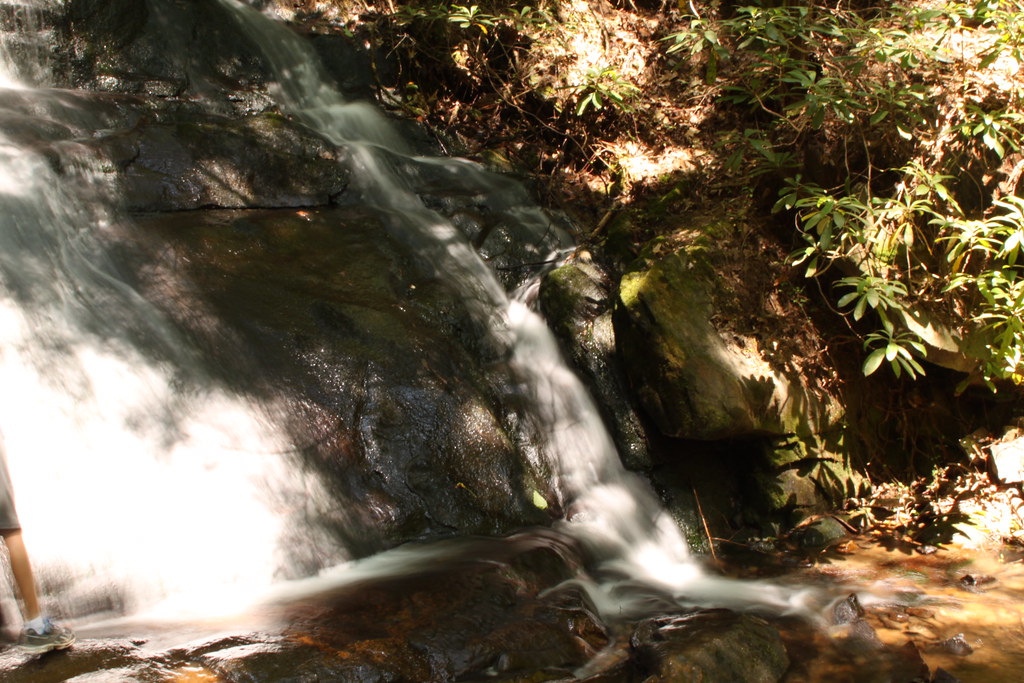
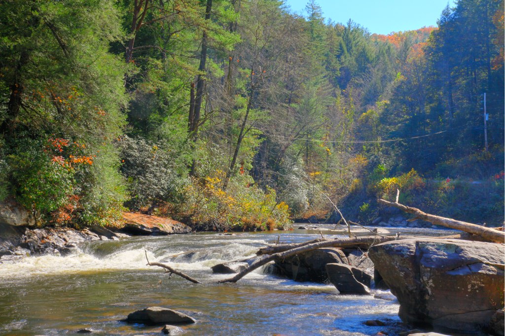
Sea Creek Falls
Cooper Creek , GA
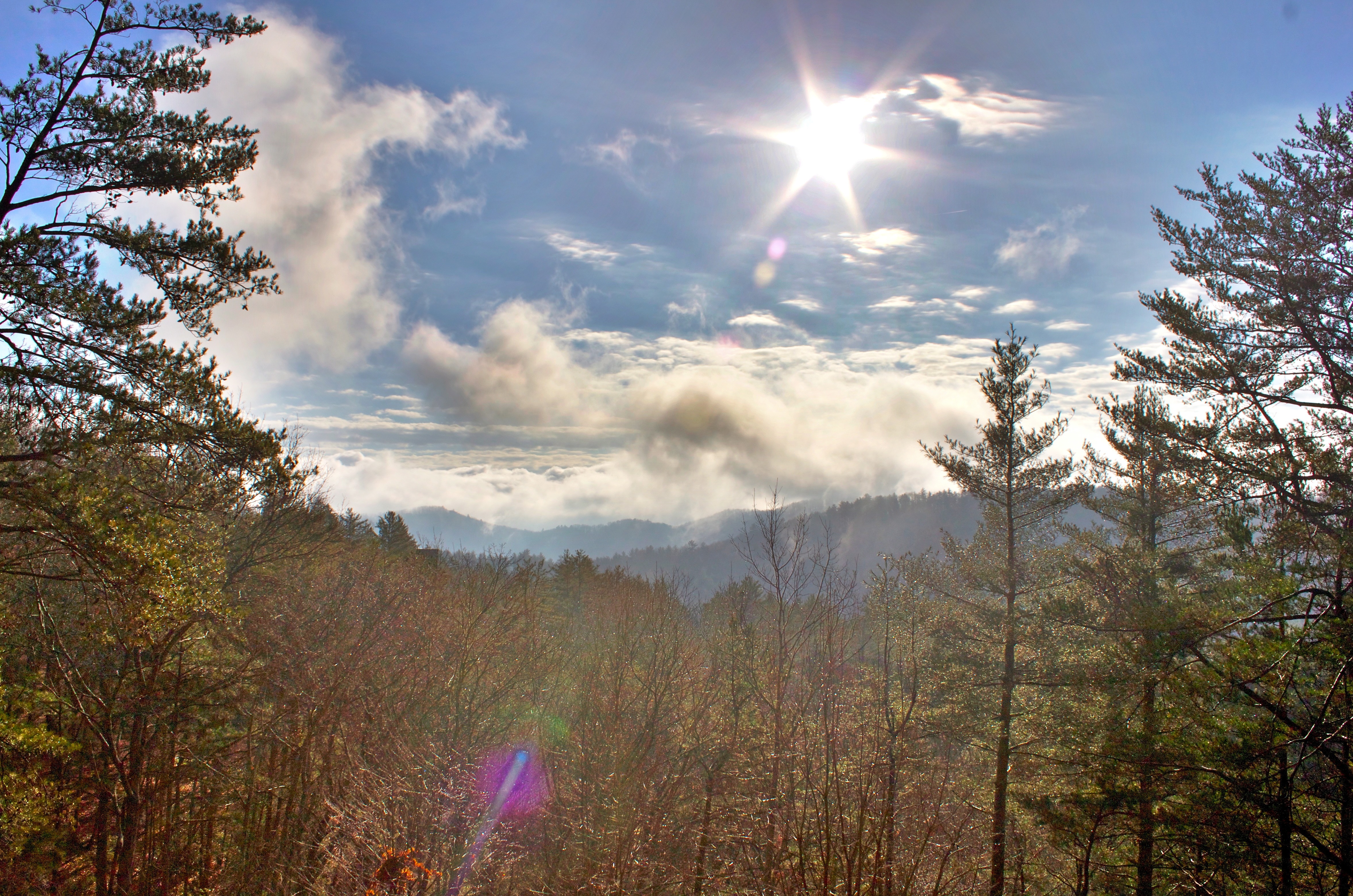
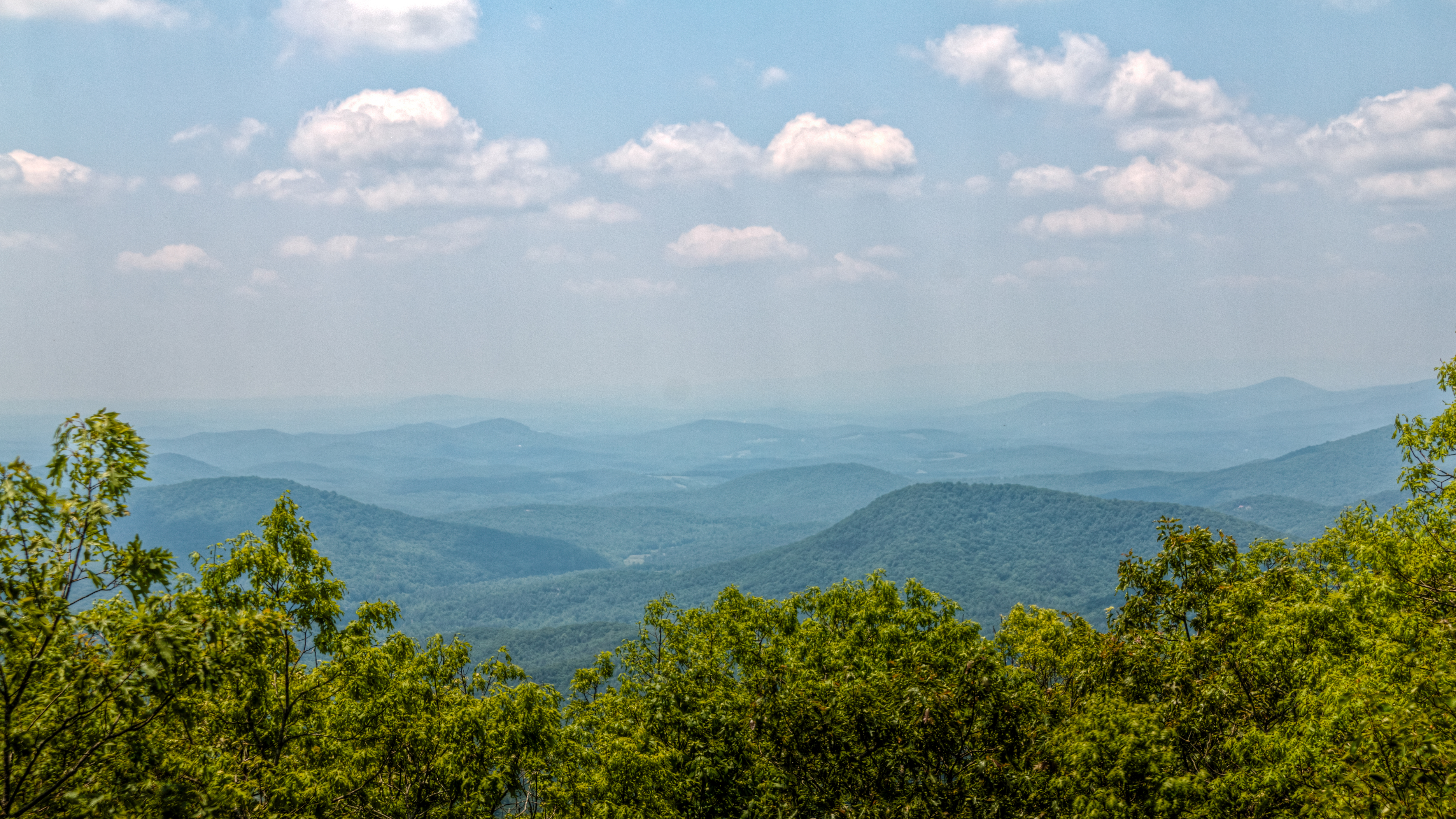
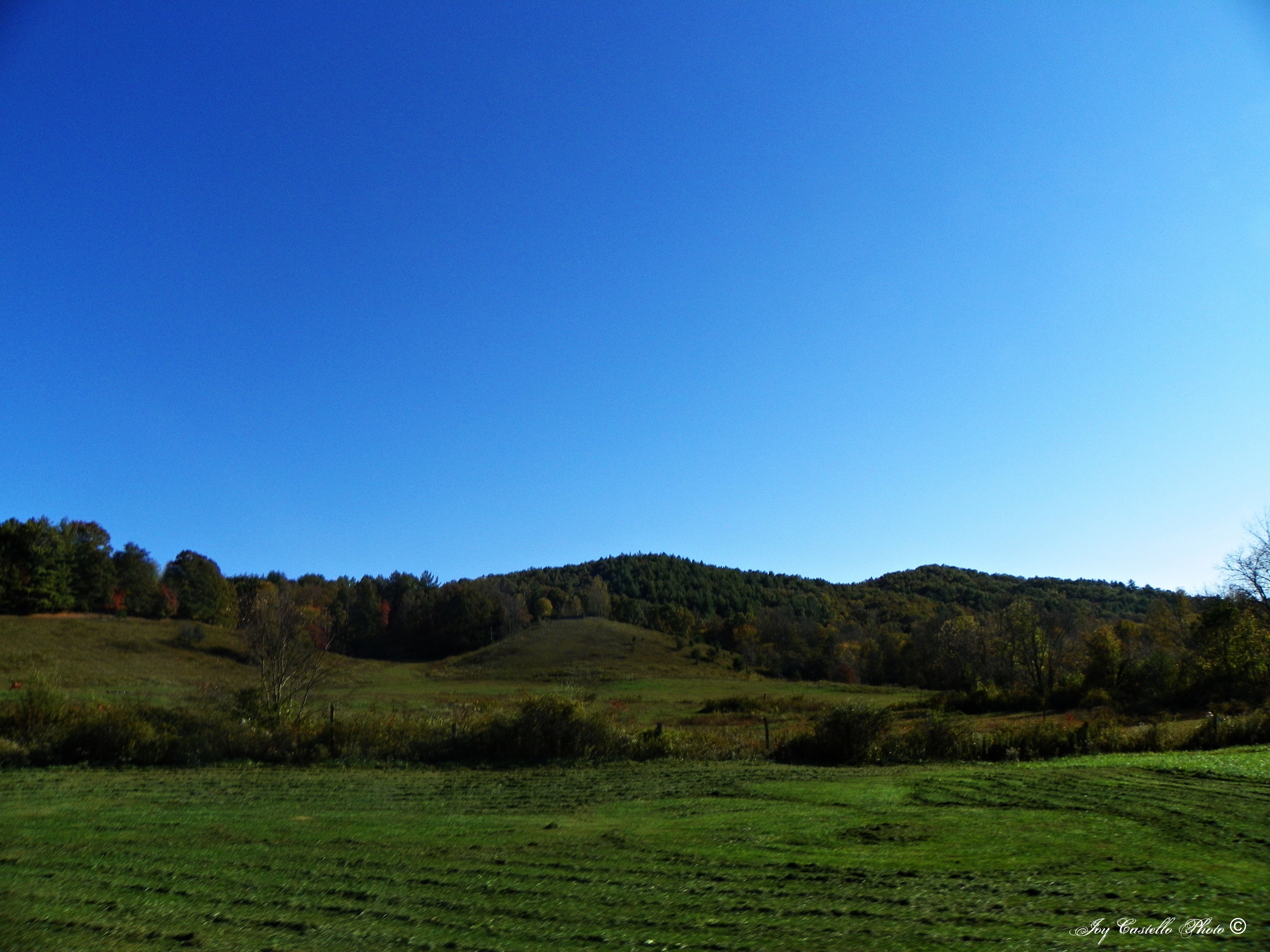
mountain view1 (hdr)
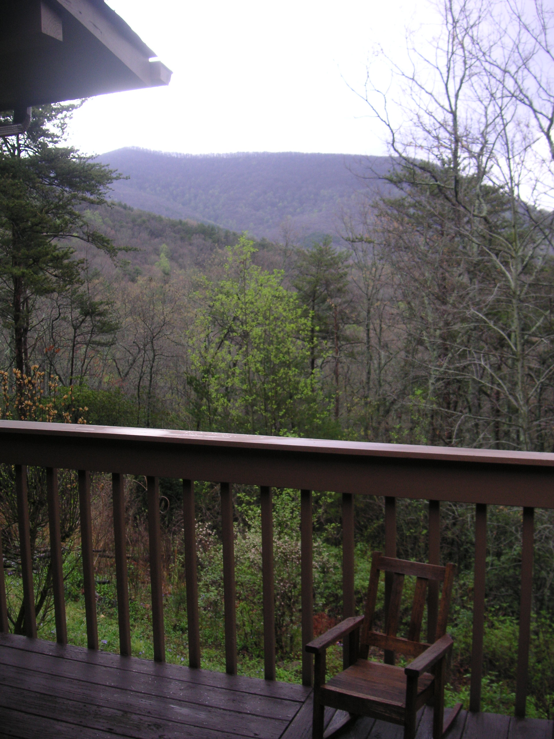
View from our cabin porch

cabin view -=HDR=-

Georgia sunset ...
View from the office tonight.

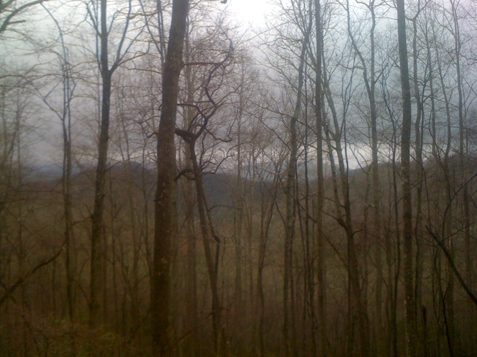
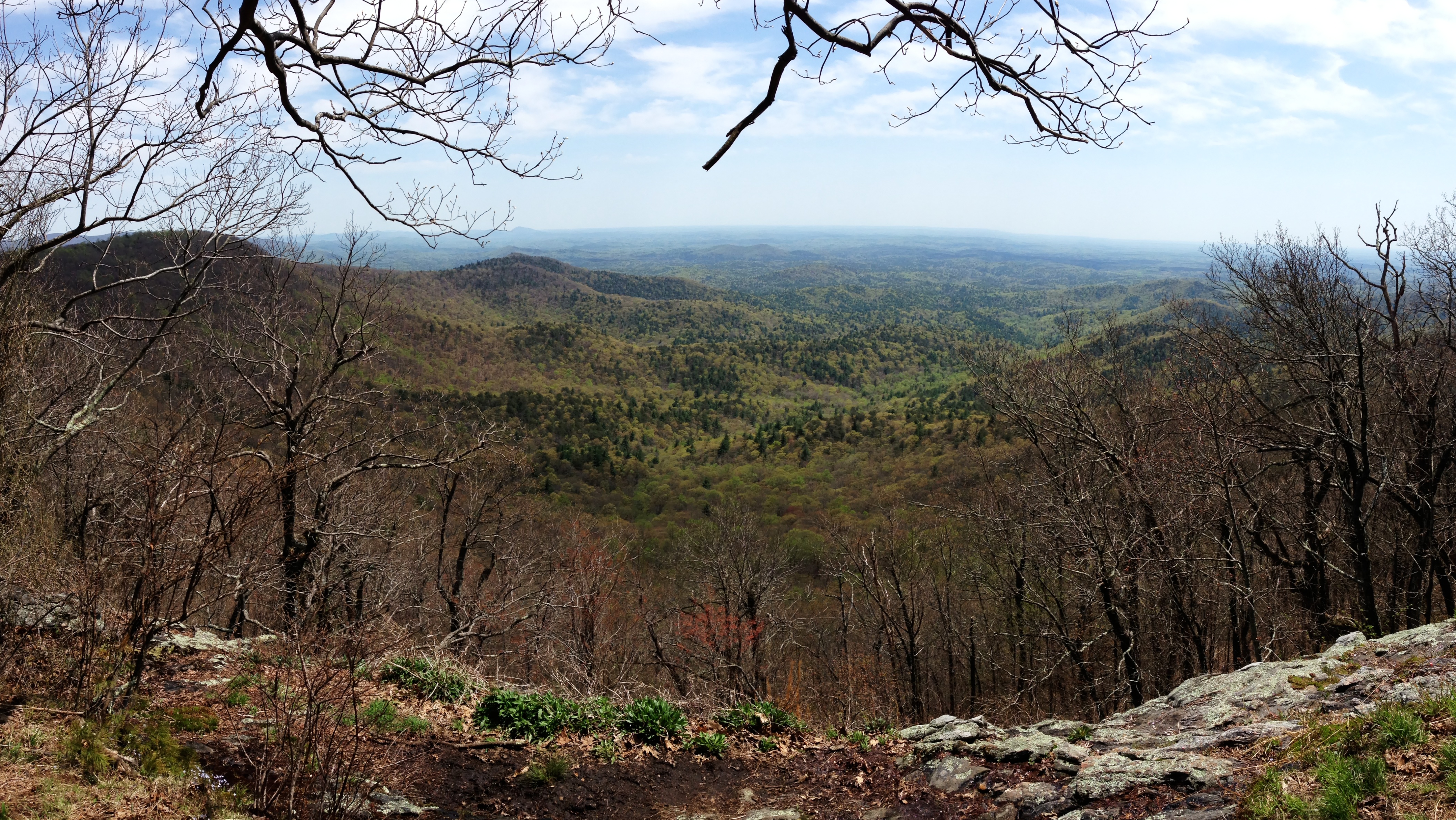
View From South Brawley Ridge
View From NW Side of Weeks Mtn

mountain view

View from Three Bears Bluff - Sunset After the Storm.

View from Three Bears Bluff - Fire on the Mountain.

View from Three Bears Bluff - It's Coming.

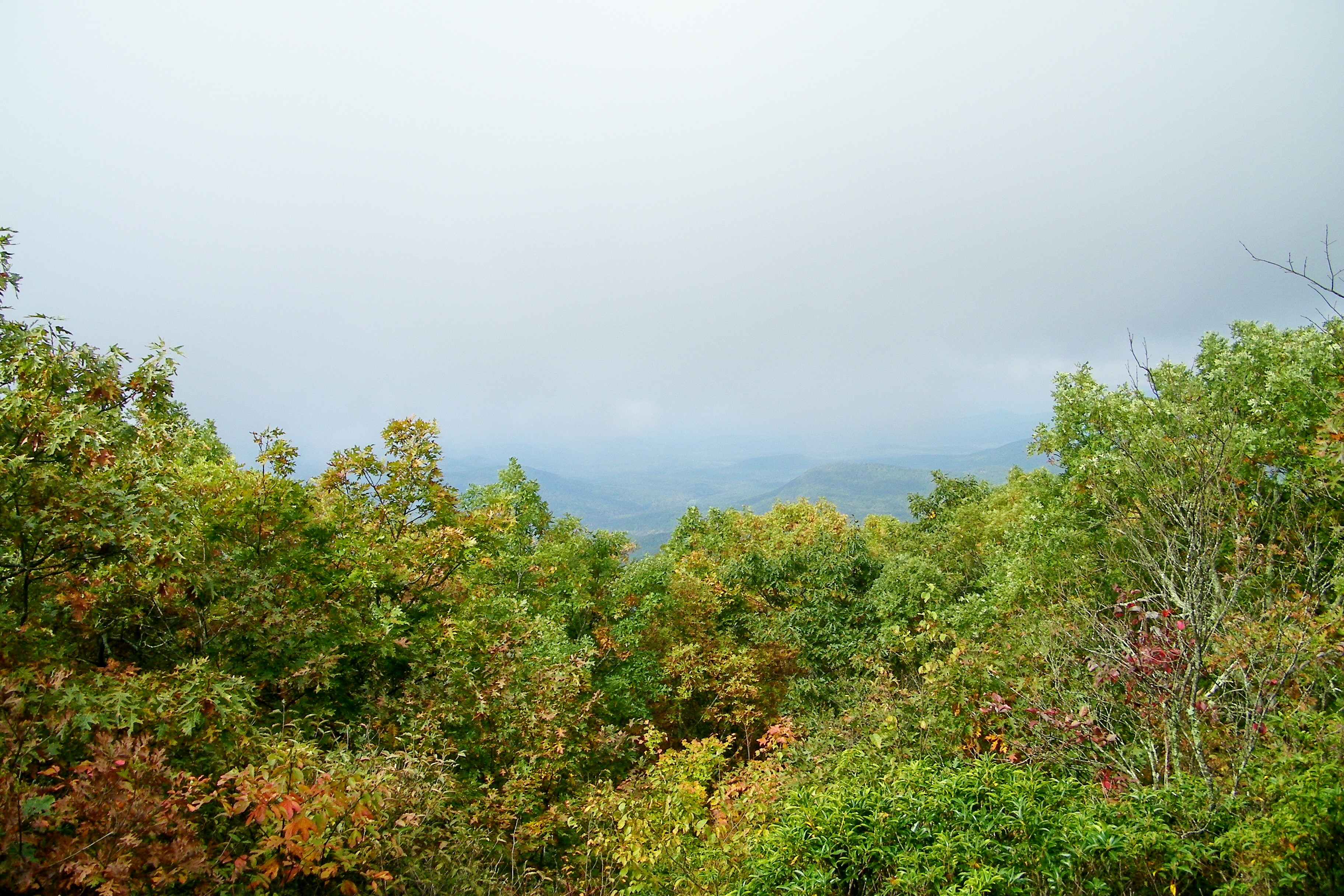
Fairly Unobstructed View

View of the river from the bridge
View from Springer Mountain

View Off Of The Benton MacKaye Trail
First view of Springer Mountain summit

all I need
Springer Mountain
View Off Of The Benton MacKaye Trail

Sea Creek Falls-Toby Gant-2014
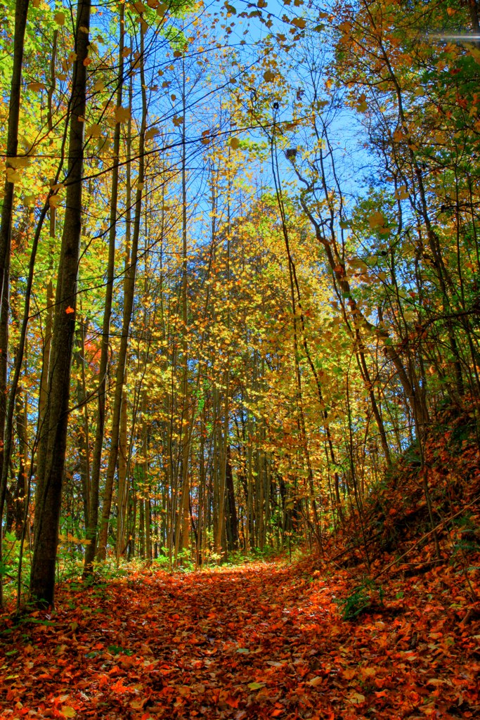
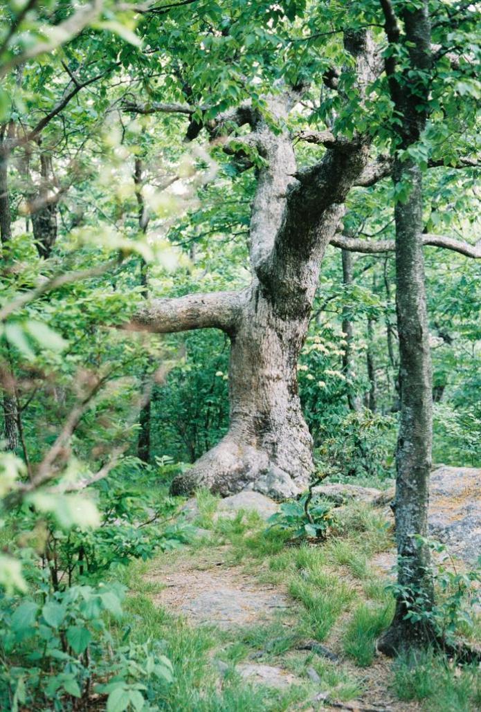
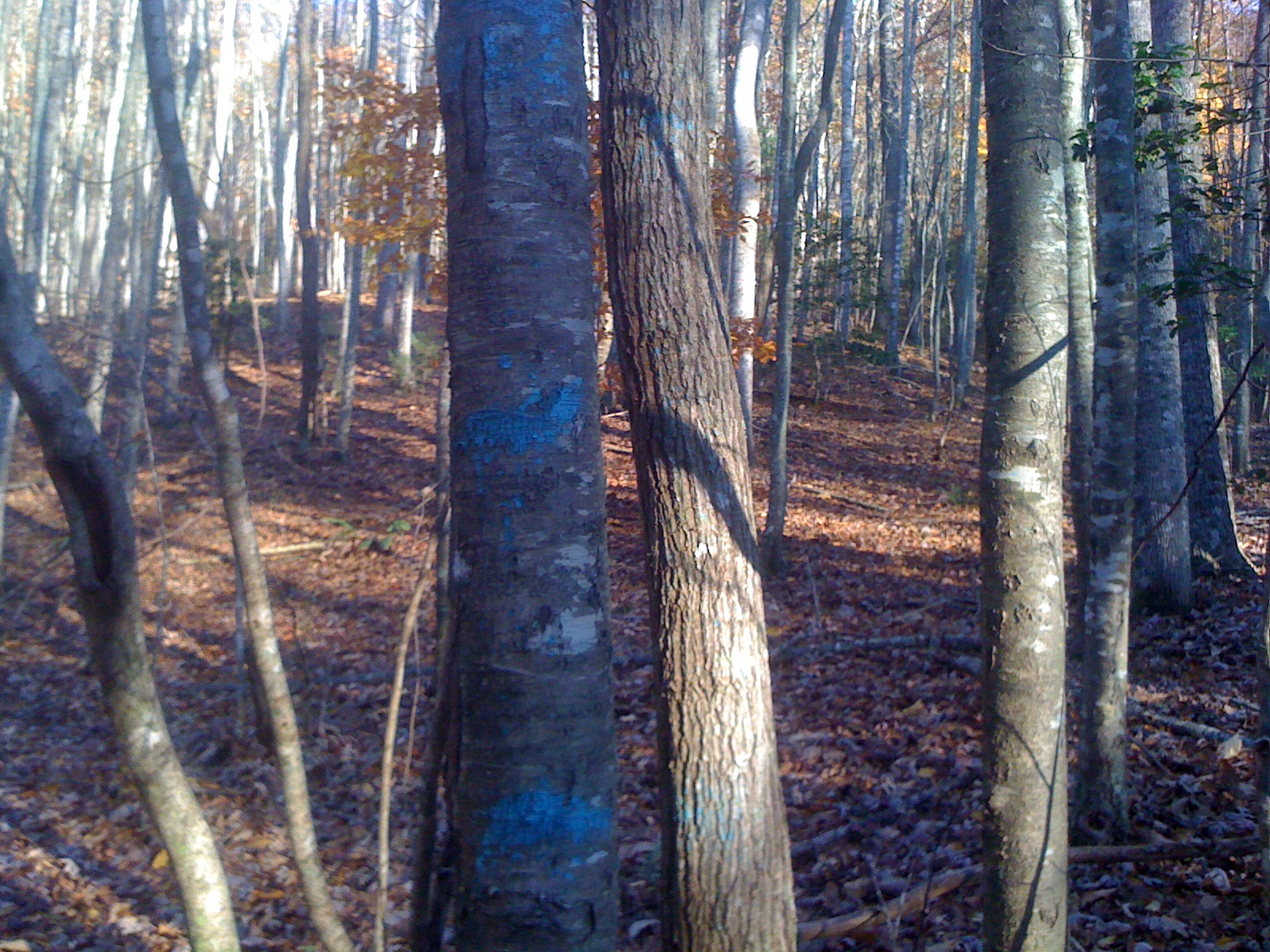
Trees in Blue Ridge 5
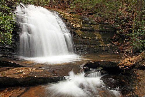
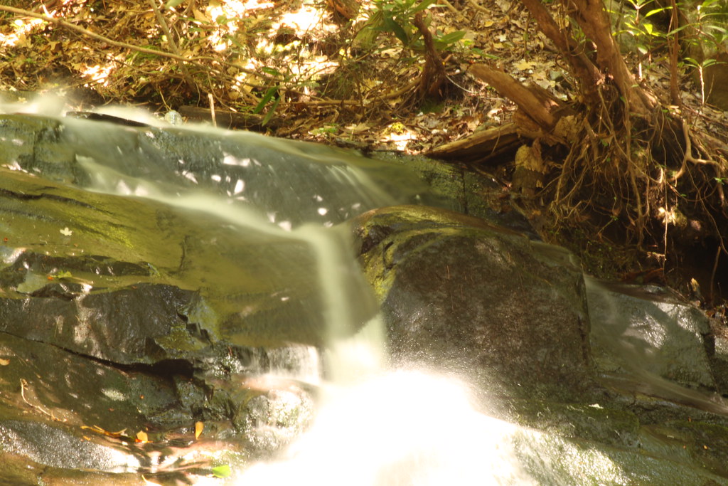
Long Creek Falls
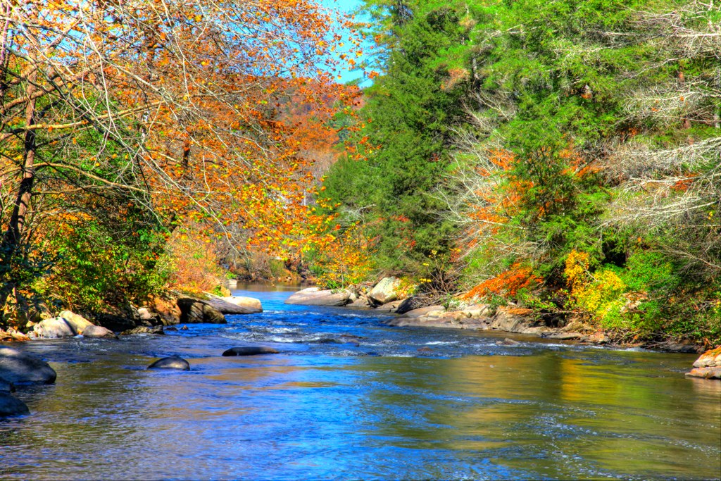
Truckie River Georgia 2

IMG_9726.JPG
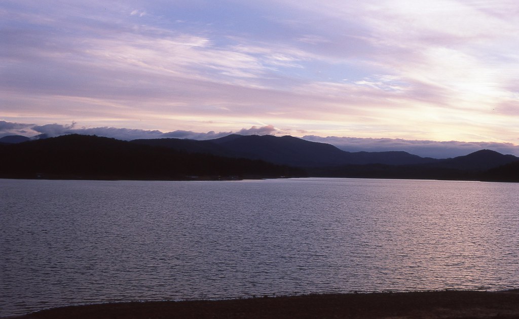
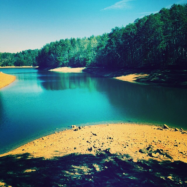
Sunset over Lake Blue Ridge

Long Creek Falls-Toby Gant-2014
IMG_9738.JPG

IMG_9729.JPG
IMG_9743.JPG
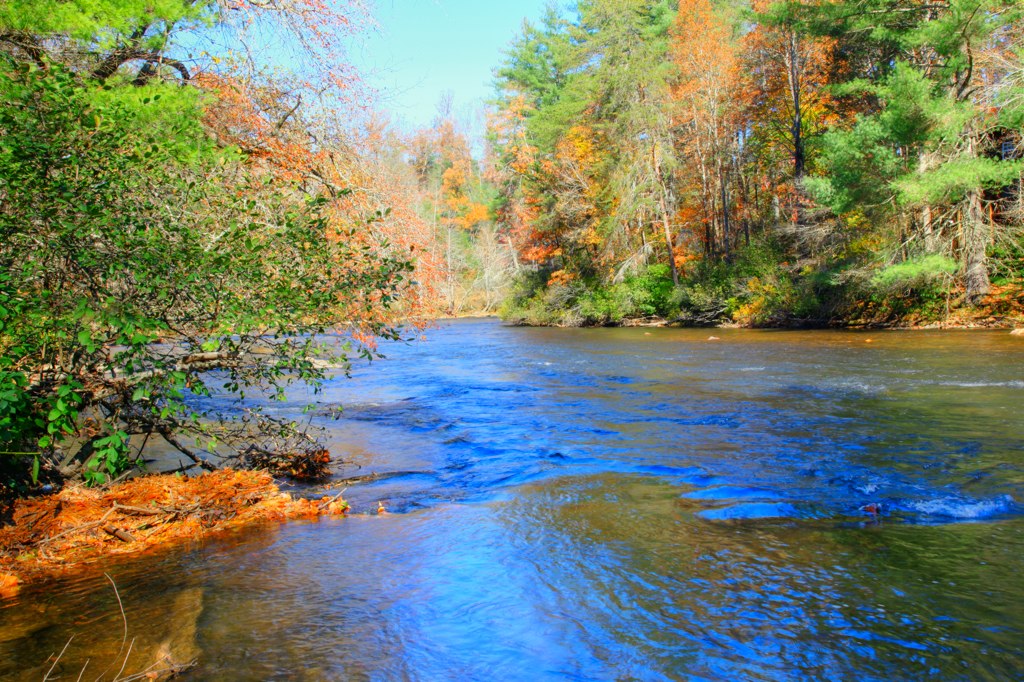
Truckie River Georgia
IMG_9724.JPG
IMG_9736.JPG
Fannin County, Georgia

IMG_9739.JPG
Blue Stripes

Slaughter Gap
Truckie River Georgia 3
IMG_9740.JPG
Great day for hiking but the lake is pretty far down.
Topographic Map of 9 Noontootla Ridge Ct, Blue Ridge, GA, USA
Find elevation by address:

Places near 9 Noontootla Ridge Ct, Blue Ridge, GA, USA:
1380 Peter Knob Rd
106 Noontootla Ridge Ct
3 Noontootla Over
759 Newport Rd
155 Peter Knob Rd
Newport Rd, Cherry Log, GA, USA
2223 Dial Rd
271 Mountain Creek Rd
271 Mountain Creek Rd
271 Mountain Creek Rd
Blue Sky Drive
245 Weeks Creek Rd
108 Long Ridge Rd
264 Long Ridge Rd
111 Laurel Trail
21 Papa Bear Path
890 Mountain Lake Cir
8743 Old Dial Rd
166 Mountain Top Dr
Scenic Mountain View Road
Recent Searches:
- Elevation of Slanický ostrov, 01 Námestovo, Slovakia
- Elevation of Spaceport America, Co Rd A, Truth or Consequences, NM, USA
- Elevation of Warwick, RI, USA
- Elevation of Fern Rd, Whitmore, CA, USA
- Elevation of 62 Abbey St, Marshfield, MA, USA
- Elevation of Fernwood, Bradenton, FL, USA
- Elevation of Felindre, Swansea SA5 7LU, UK
- Elevation of Leyte Industrial Development Estate, Isabel, Leyte, Philippines
- Elevation of W Granada St, Tampa, FL, USA
- Elevation of Pykes Down, Ivybridge PL21 0BY, UK