Elevation of 9 N Hand St, Tower City, PA, USA
Location: United States > Pennsylvania > Schuylkill County >
Longitude: -76.560062
Latitude: 40.589506
Elevation: 254m / 833feet
Barometric Pressure: 98KPa
Elevation Map:
Satellite Map:
Related Photos:

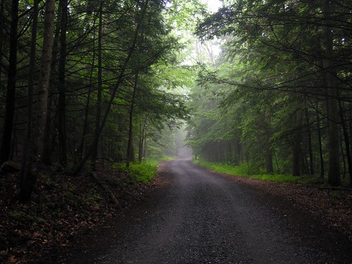
Fog on the mountain
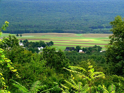
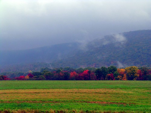
Mountain View Mahantongo Mountain

09-18-04 0337
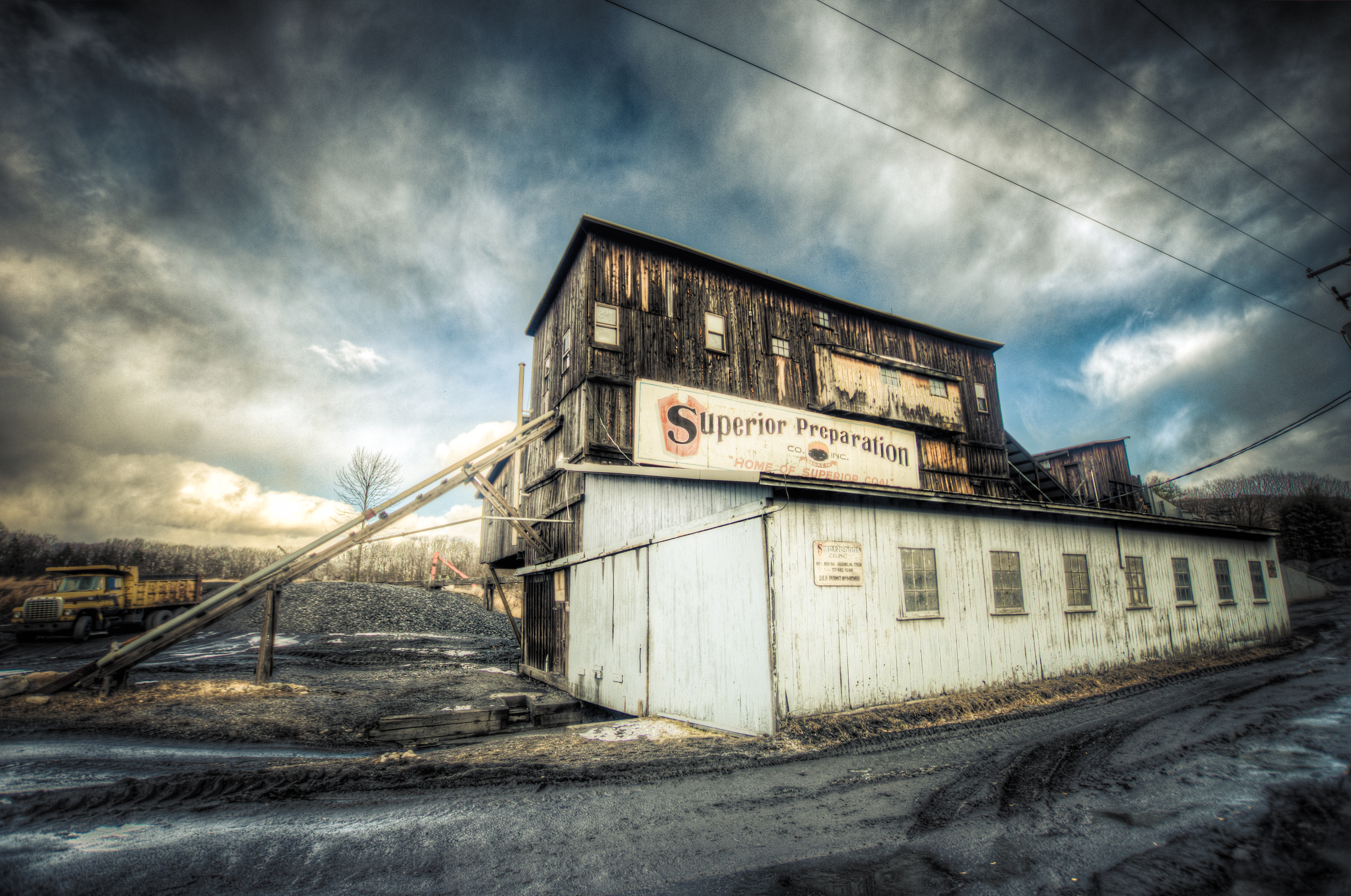
Superior Preparation
Valley View, PA
05-21-05 1102
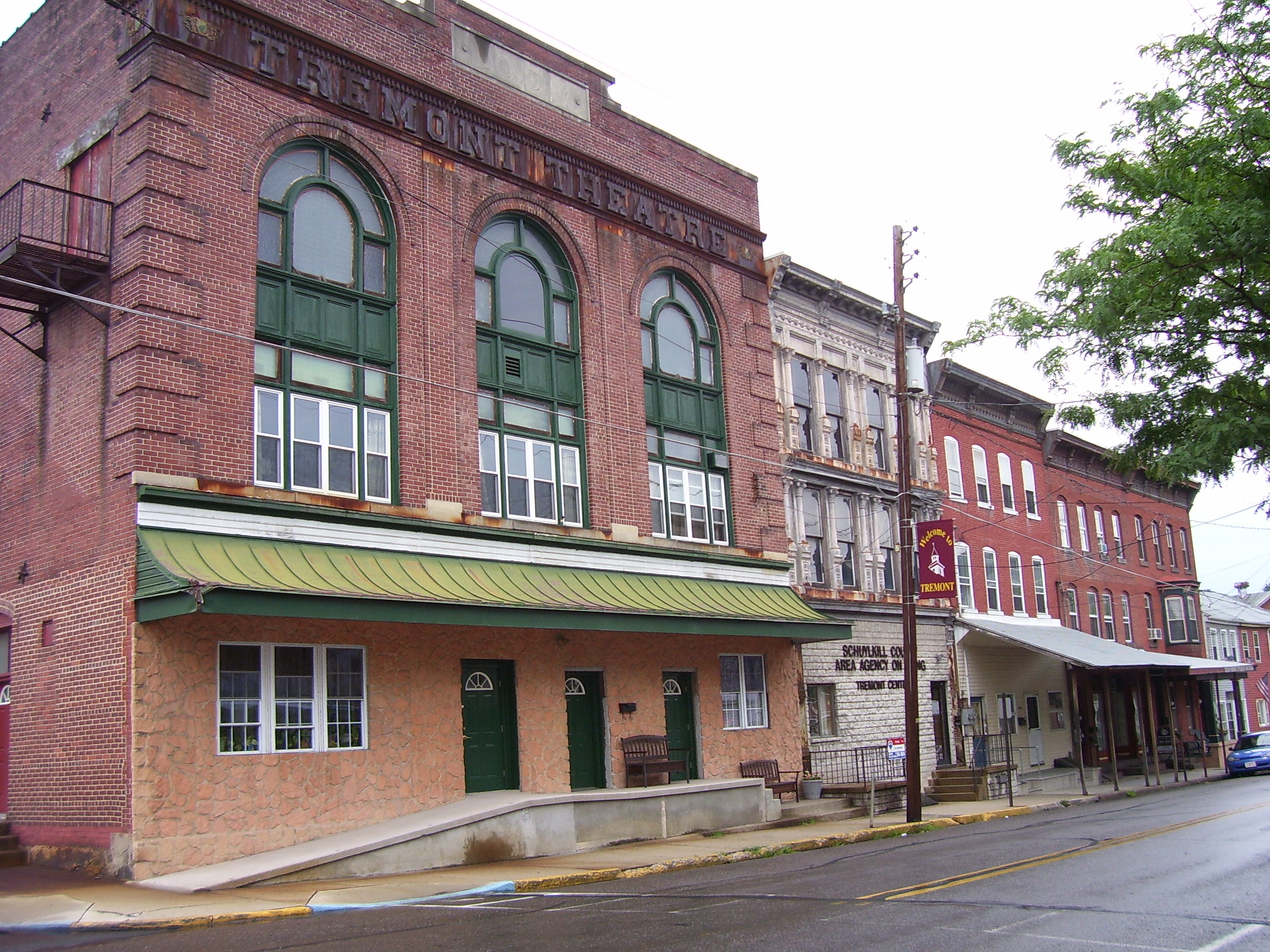
Old Retail District Row

02-19-05 138a
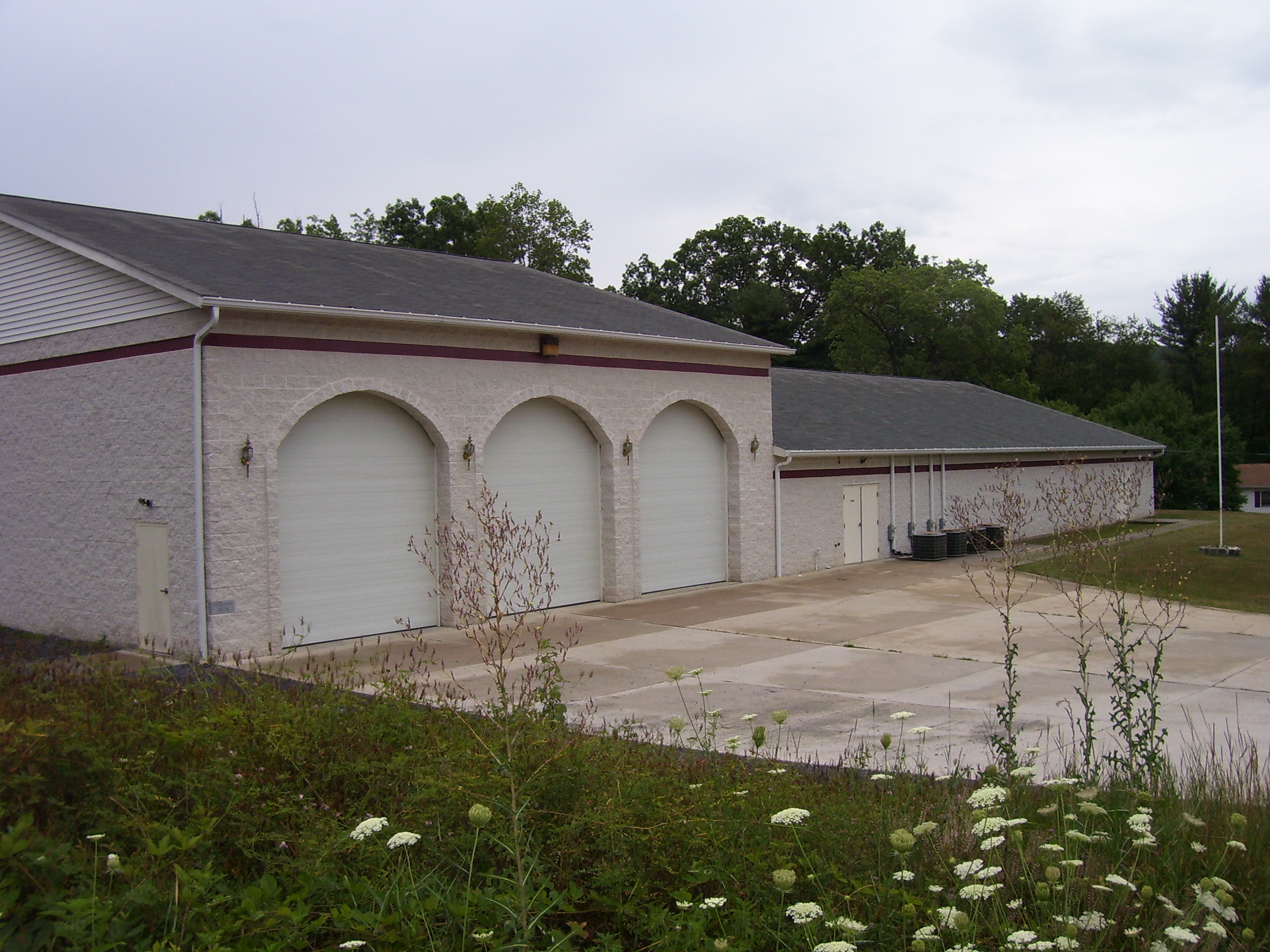
Tremont Fire Co.

Tremont Town Block
09-10-04 0247

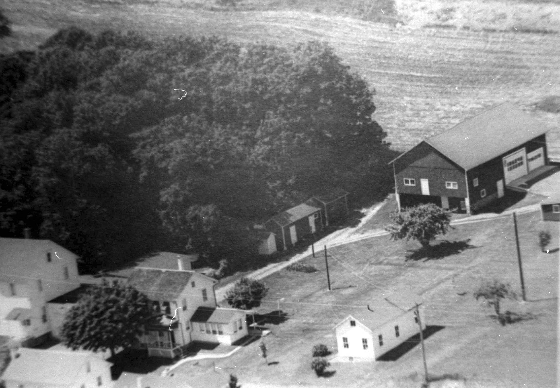
Birds Eye View
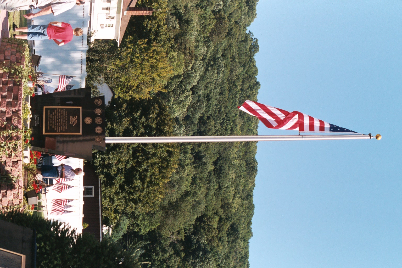
Veterans Park
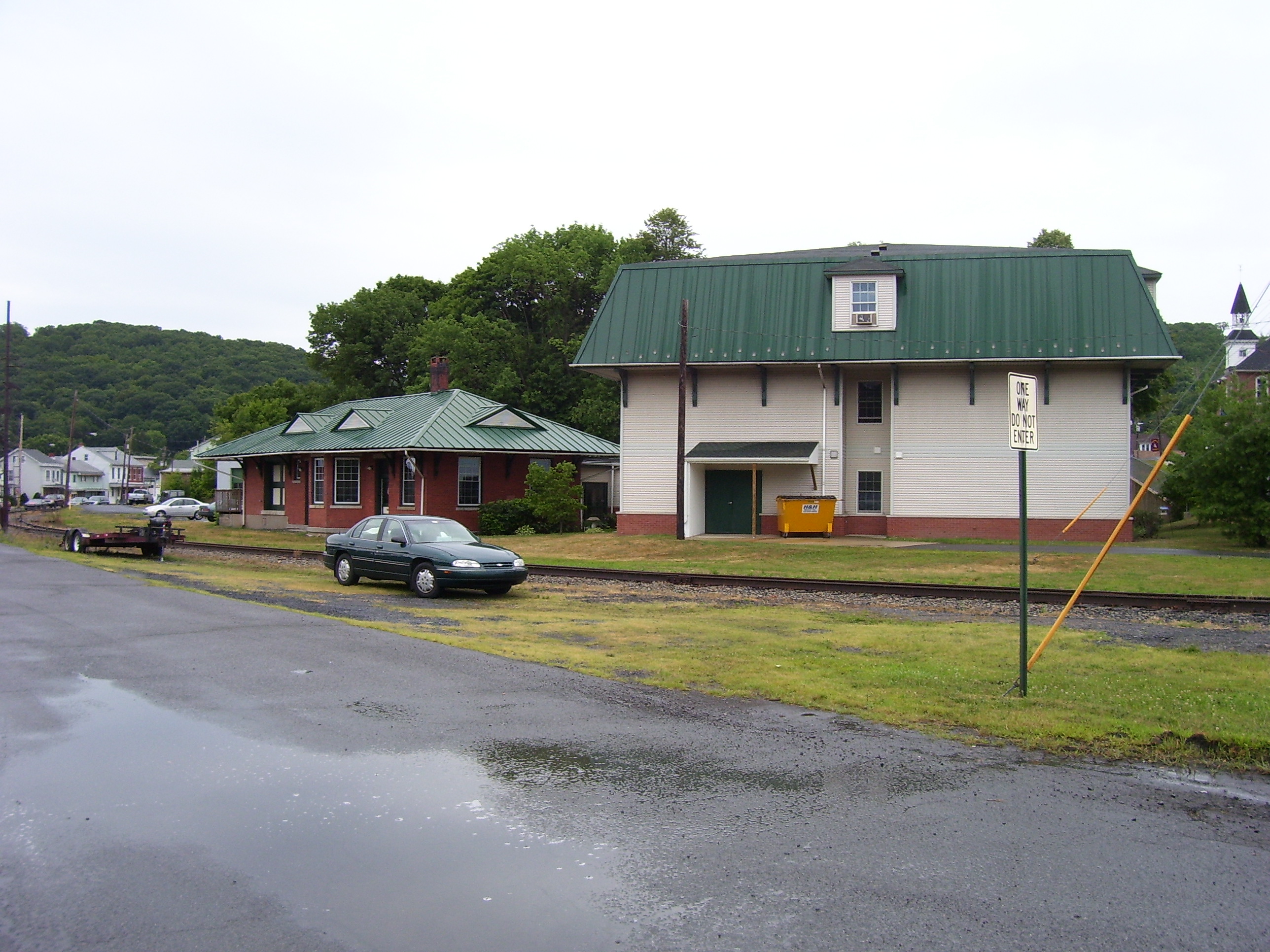
Tremont Station Apartments

Northern Wheatear - Species #106
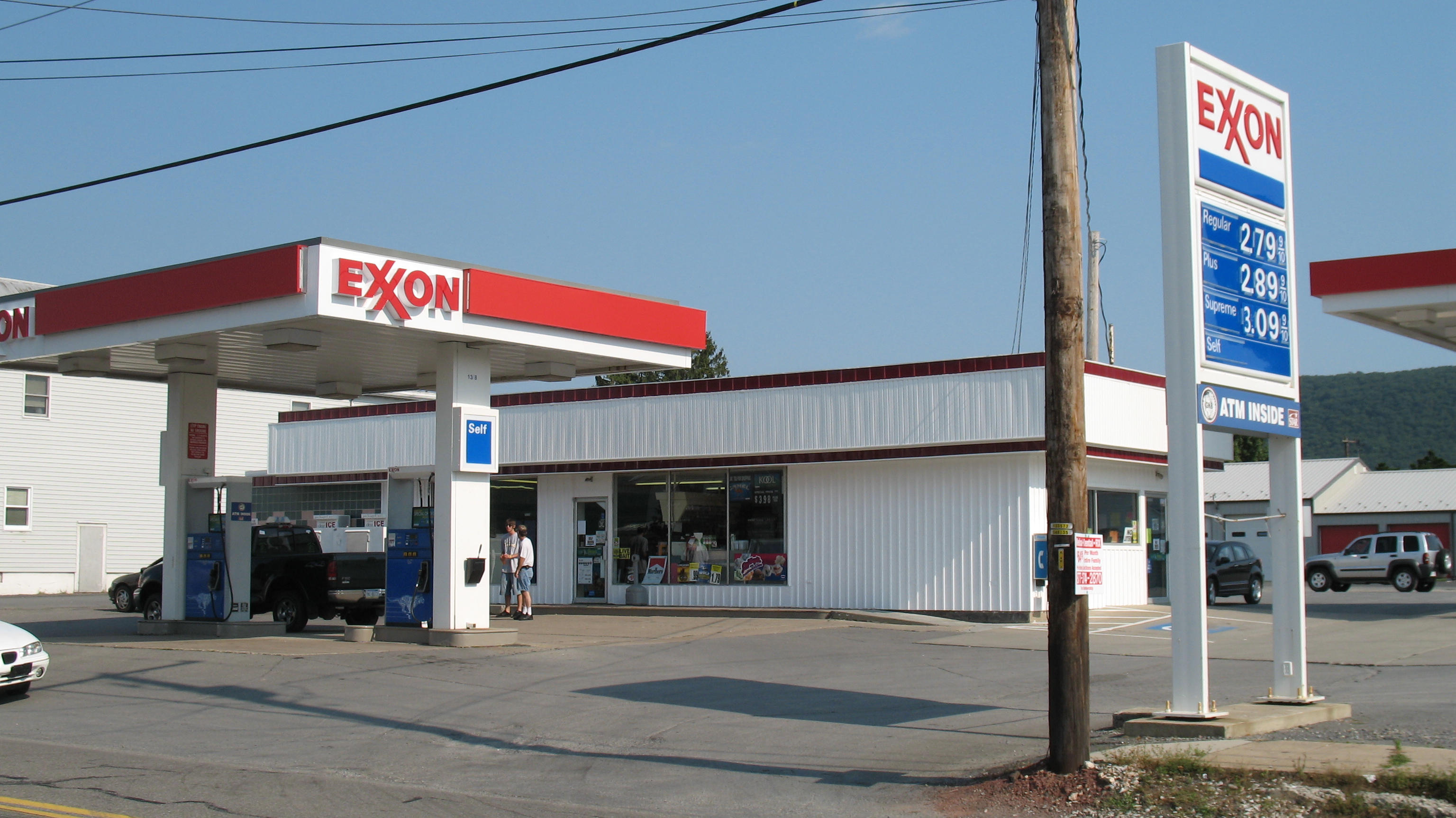
Tower Sales Mini Market Valley View

Pitman Fireman's Parade, 1997
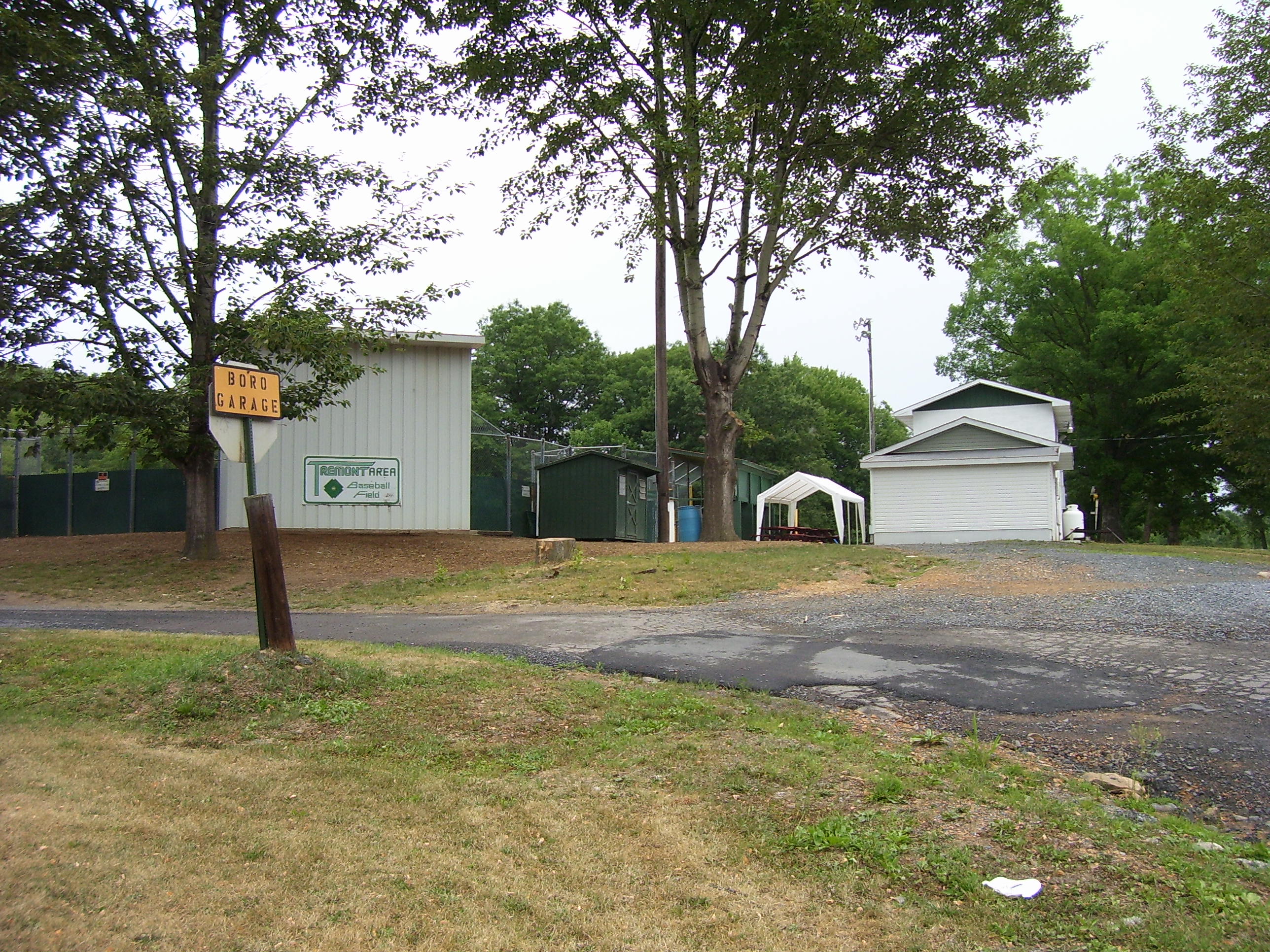
Baseball Field
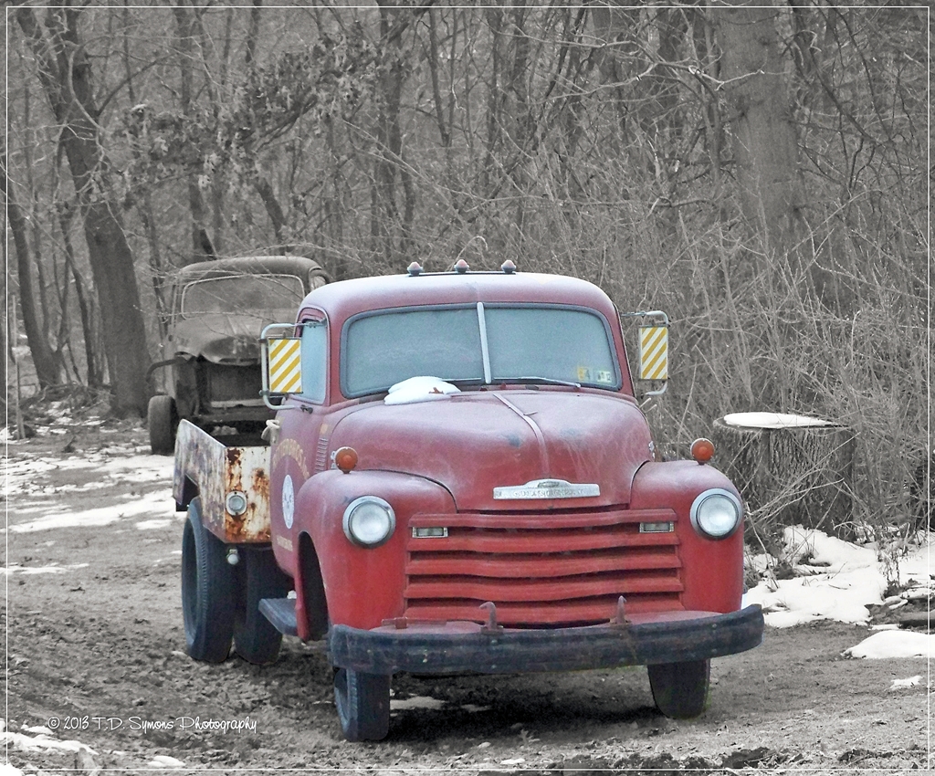
Drove my Chevy to the levee....
Aerial view of Yoder Farm, Pitman, PA
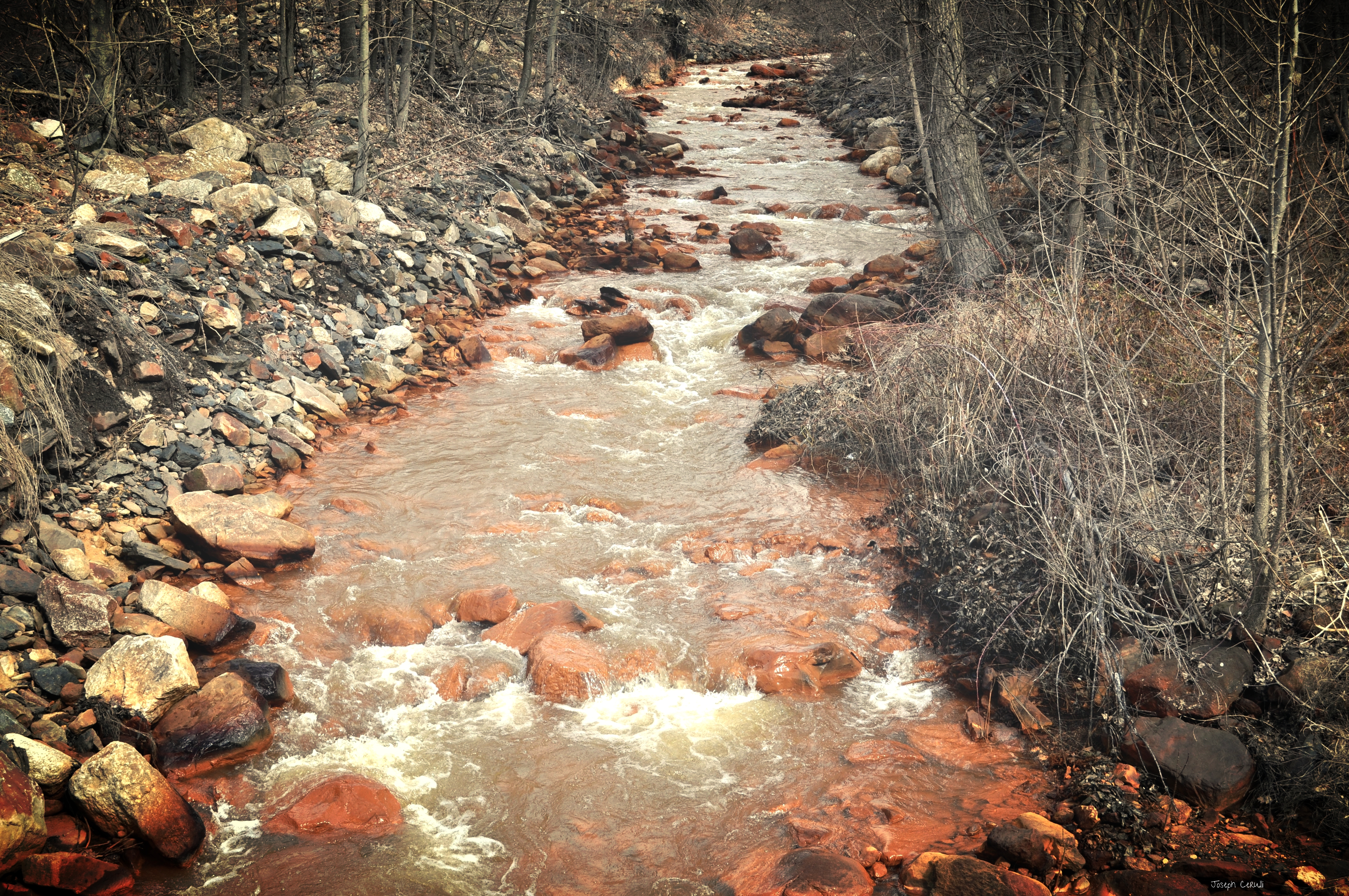
The Mine Water

This is at the intersection of...
06-11-05 513

Rausch Creek along the Gold Mine...
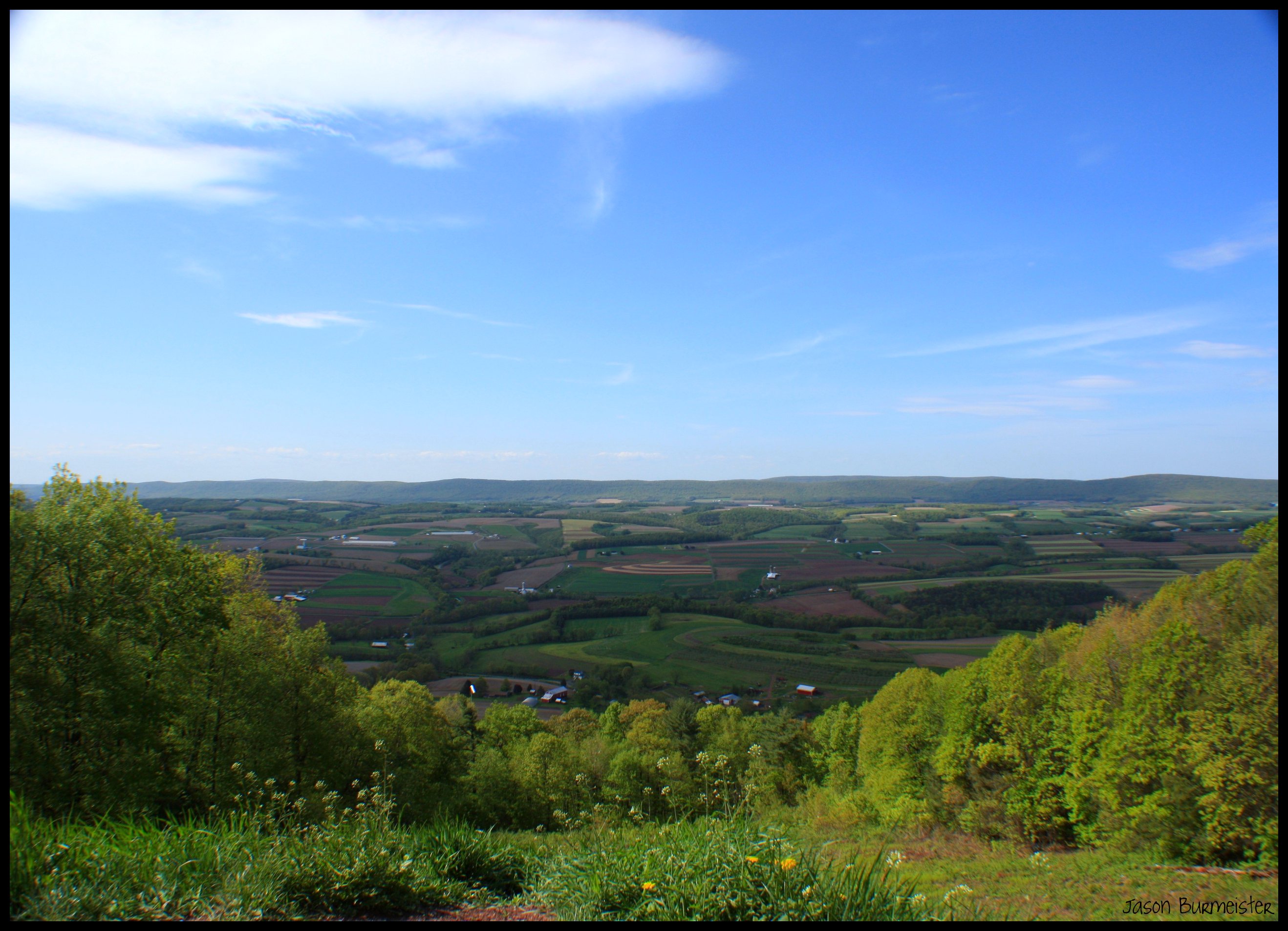
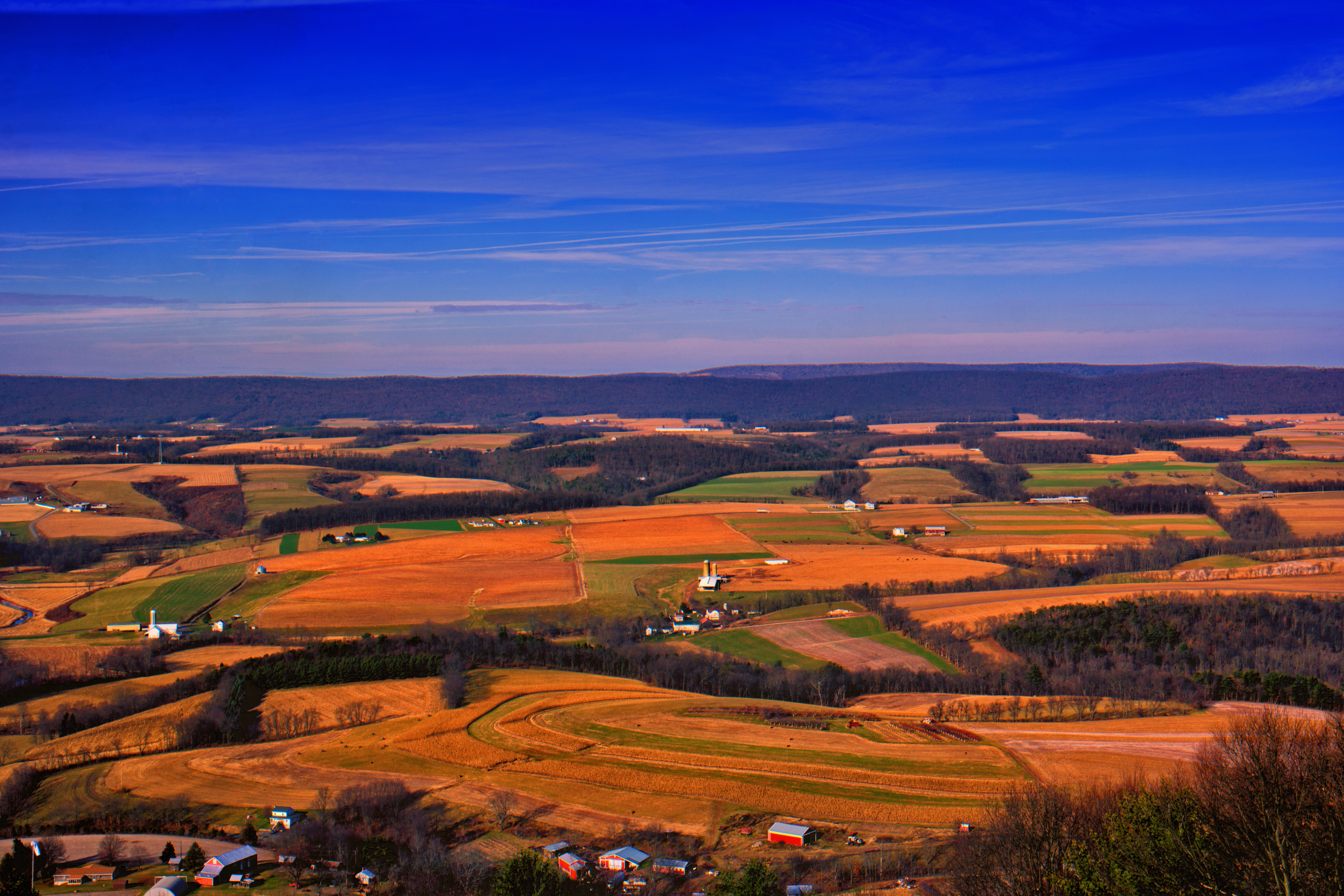
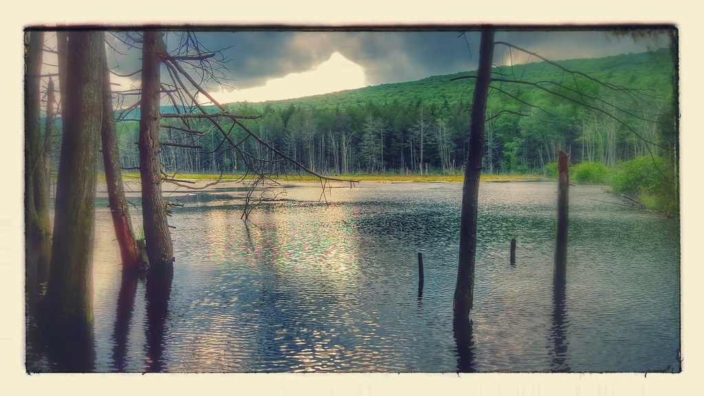
Overlooking the Valley

The ones you are most honest with will accuse you of the most deceit, because they want to be proven wrong.
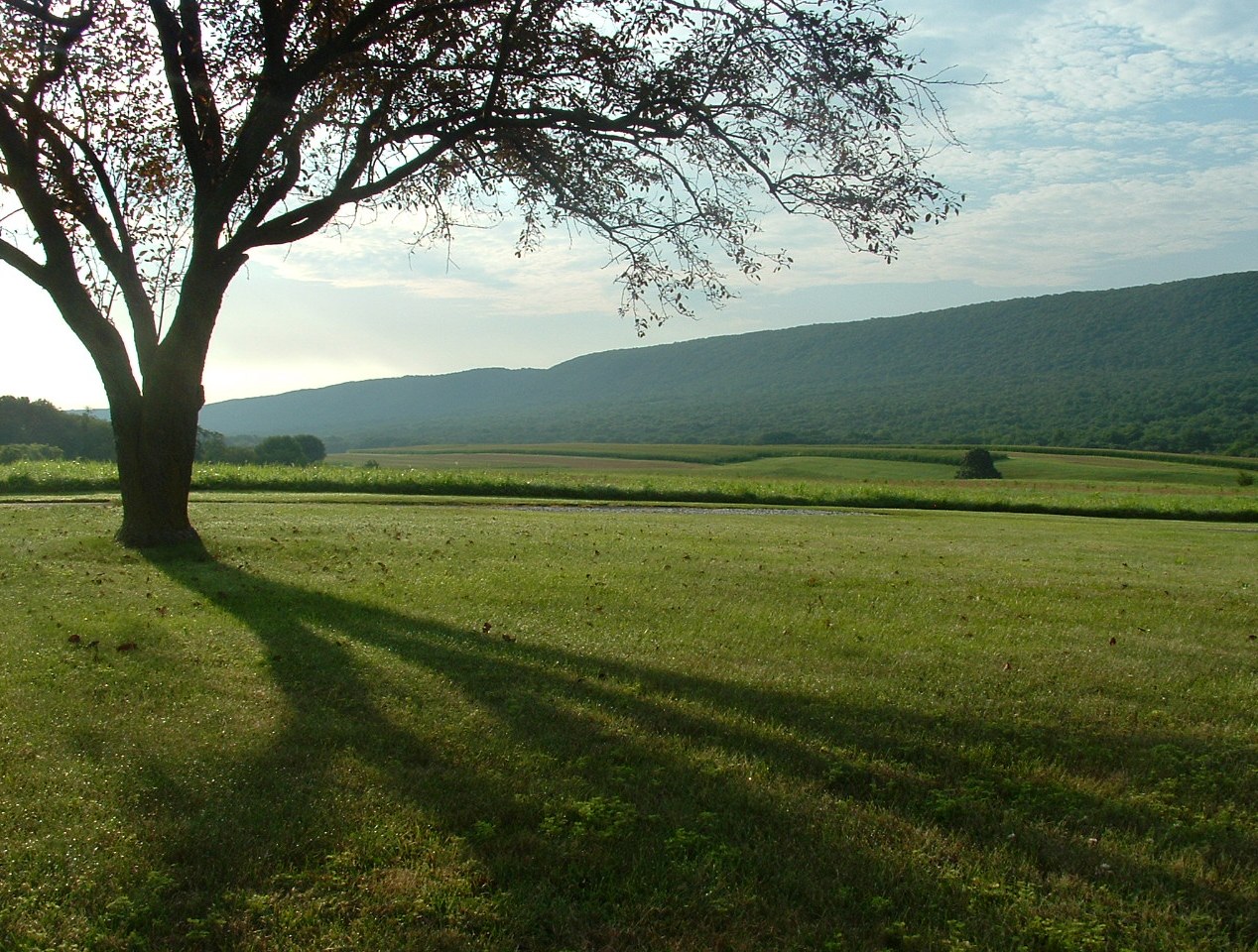
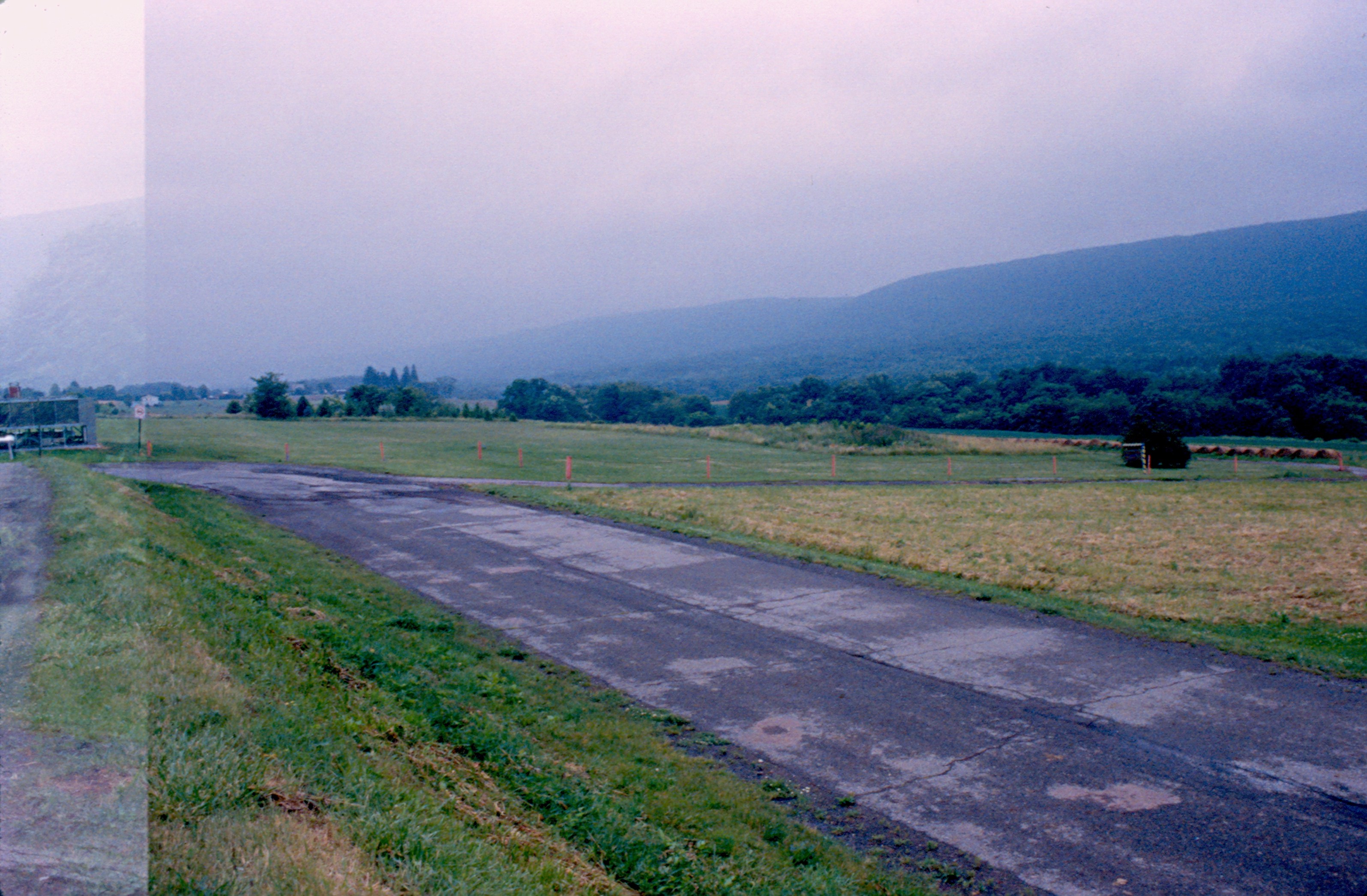
Mahantango Mountain
I wonder if you can eat any of these plants out here... cause I'm starvin'! #INeedAnAppForThis #MountainBiking #SwataraStatePark #biking #mountains #agentDEREK #hungry
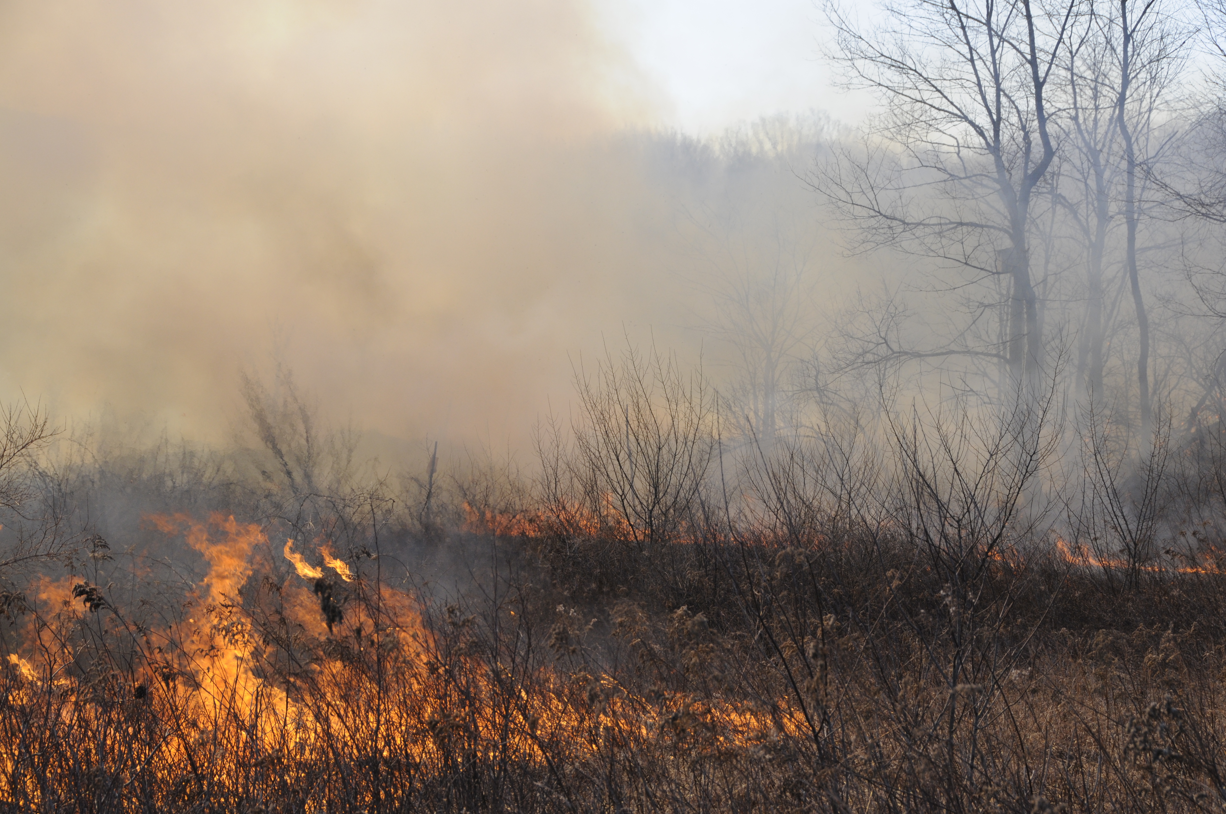
FTIG Controlled Burn
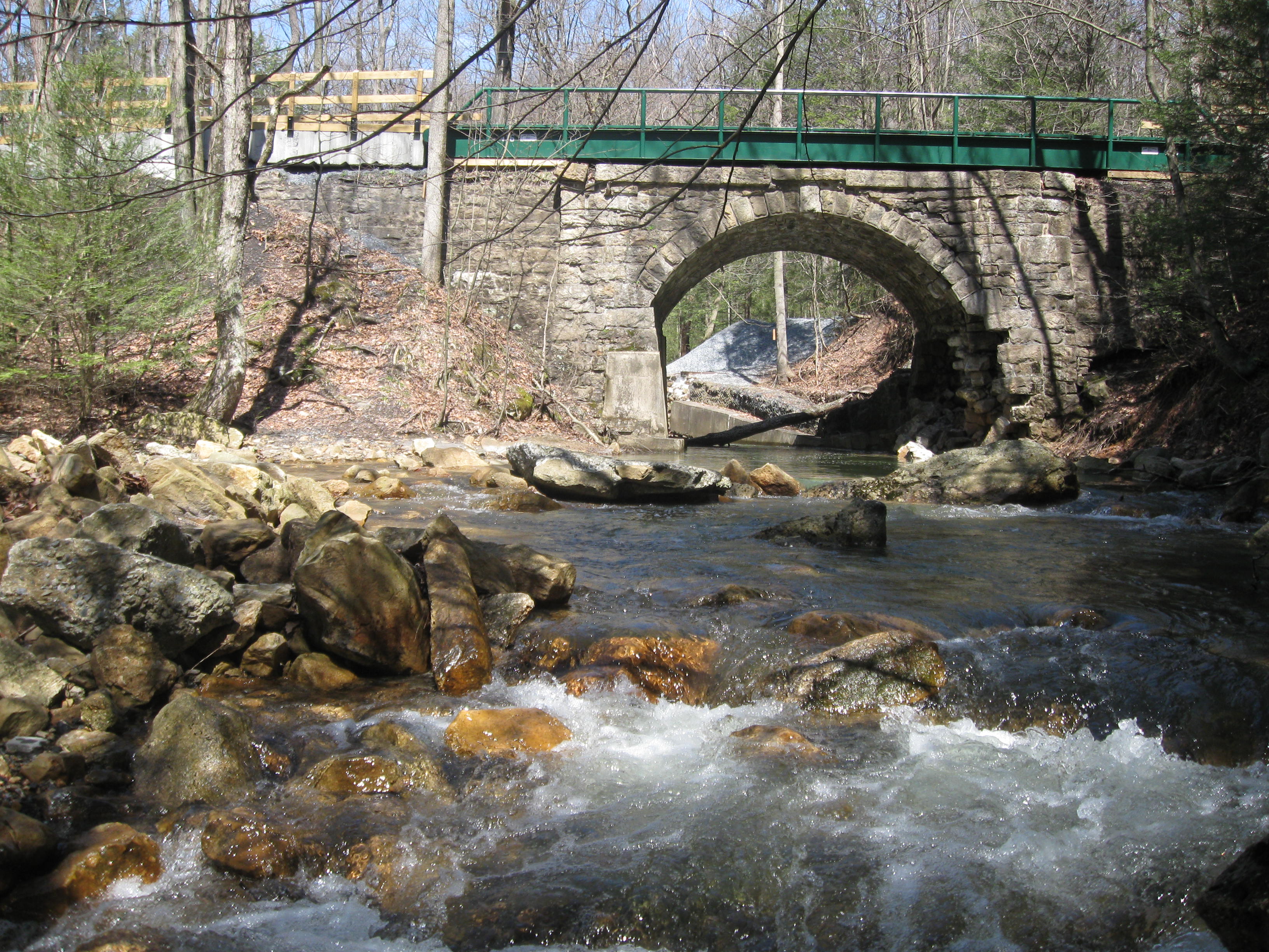
Rausch Gap Bridge

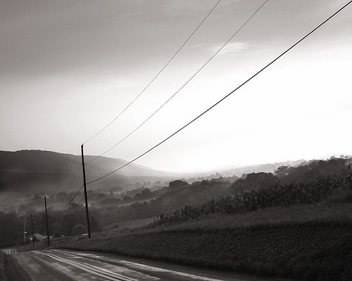
Sunrise over Pine Grove, PA 9-25-13
Take me there
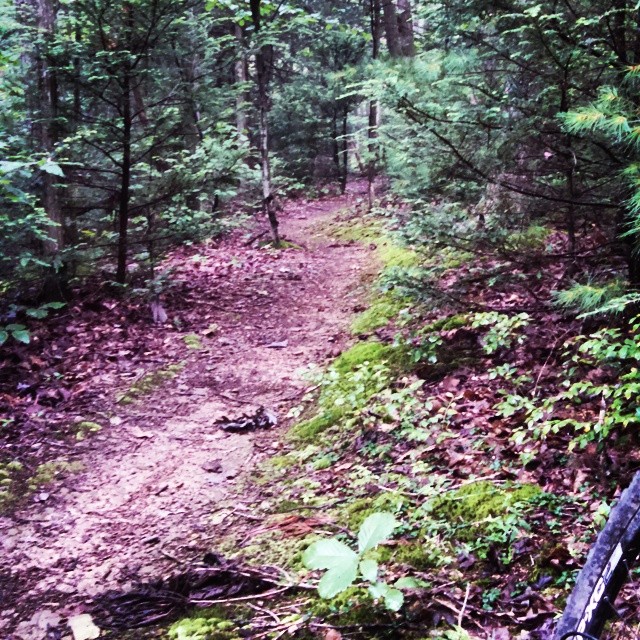
0003 Tulpehocken Path Img138_26
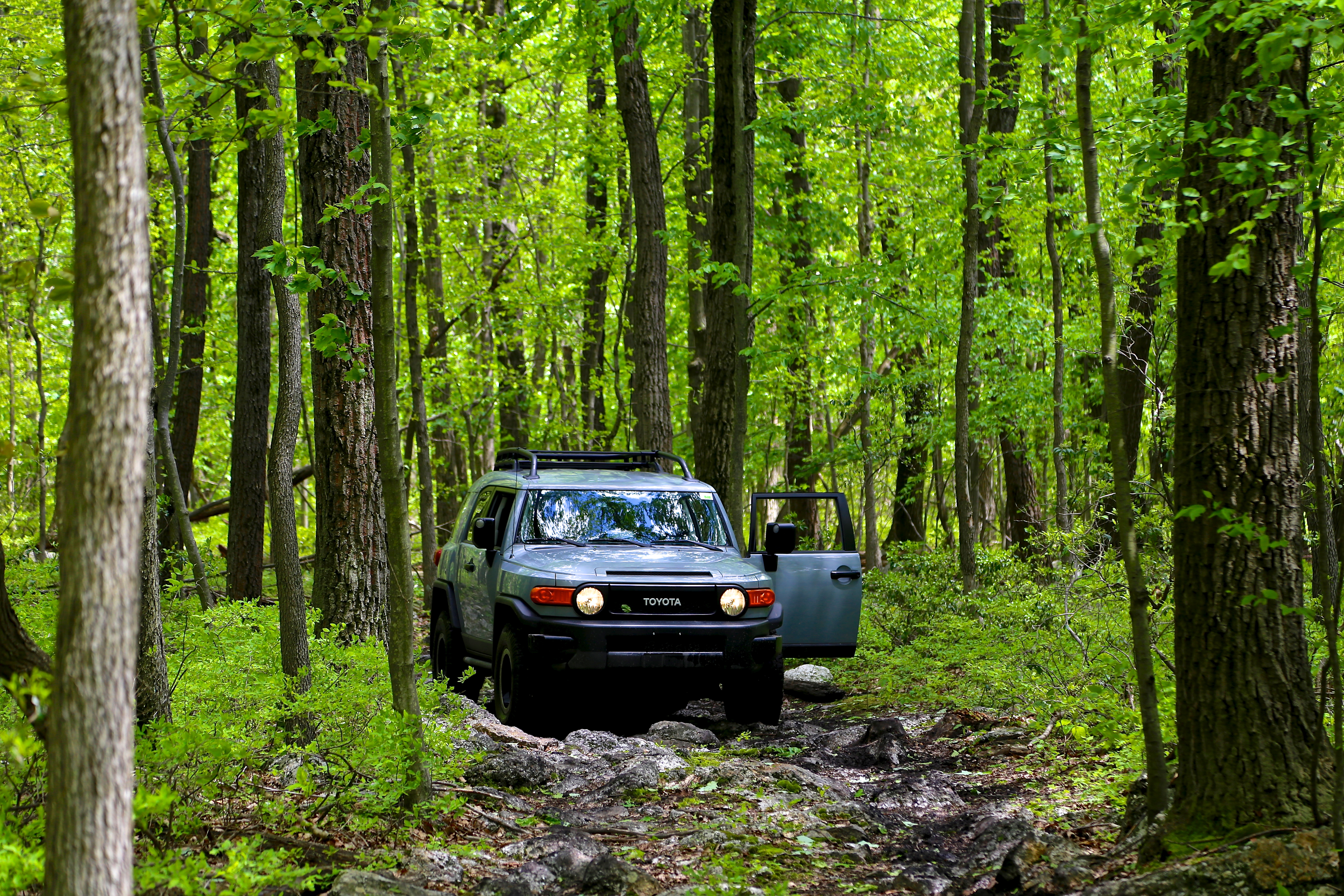
2013 Trail Teams Edition FJ - cement grey
IMG-20121110-00336
Lykens Valley
05-29-05 1551
10-15-04 1243
04-23-05 616
Topographic Map of 9 N Hand St, Tower City, PA, USA
Find elevation by address:

Places near 9 N Hand St, Tower City, PA, USA:
Porter Township
Williamstown
W Market St, Williamstown, PA, USA
541 W Market St
Williamstown, PA, USA
Williams Township
47 Gold Mine Rd, Jonestown, PA, USA
Cold Spring Township
Green Point School Rd, Jonestown, PA, USA
244 Old Forge Rd
2 Old State Rd
255 Trumbo Rd
220 Old State Rd
Oak Grove Rd, Pine Grove, PA, USA
Union Township
Pine Grove Township
PA-72, Jonestown, PA, USA
147 Lickdale Rd
Bordnersville
Fort Indiantown Gap
Recent Searches:
- Elevation of Zimmer Trail, Pennsylvania, USA
- Elevation of 87 Kilmartin Ave, Bristol, CT, USA
- Elevation of Honghe National Nature Reserve, QP95+PJP, Tongjiang, Heilongjiang, Jiamusi, Heilongjiang, China
- Elevation of Hercules Dr, Colorado Springs, CO, USA
- Elevation of Szlak pieszy czarny, Poland
- Elevation of Griffing Blvd, Biscayne Park, FL, USA
- Elevation of Kreuzburger Weg 13, Düsseldorf, Germany
- Elevation of Gateway Blvd SE, Canton, OH, USA
- Elevation of East W.T. Harris Boulevard, E W.T. Harris Blvd, Charlotte, NC, USA
- Elevation of West Sugar Creek, Charlotte, NC, USA