Elevation of 99 S K Dr, Perryville, MO, USA
Location: United States > Missouri > Perry County >
Longitude: -89.891074
Latitude: 37.6704156
Elevation: 196m / 643feet
Barometric Pressure: 99KPa
Elevation Map:
Satellite Map:
Related Photos:
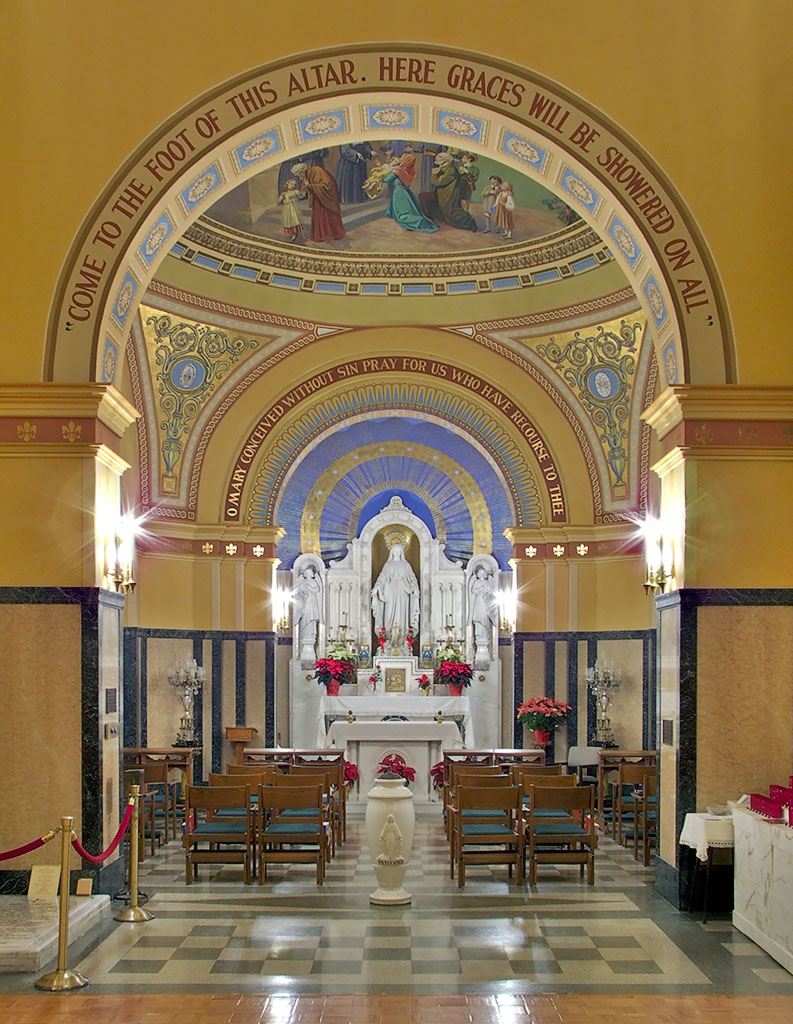
Saint Mary of the Barrens Roman Catholic Church, in Perryville, Missouri, USA - Shrine of the Miraculous Medal - view

Saint Vincent de Paul Roman Catholic Church, in Perryville, Missouri, USA - view down hallway with statues

Saint Joseph Roman Catholic Church, in Apple Creek, Missouri, USA - view of nave with Christmas decorations 2

Spring Sunset

Saint Joseph Roman Catholic Church, in Apple Creek, Missouri, USA - view of nave with Christmas decorations

Saint Joseph Roman Catholic Church, in Highland, Missouri, USA - view from back
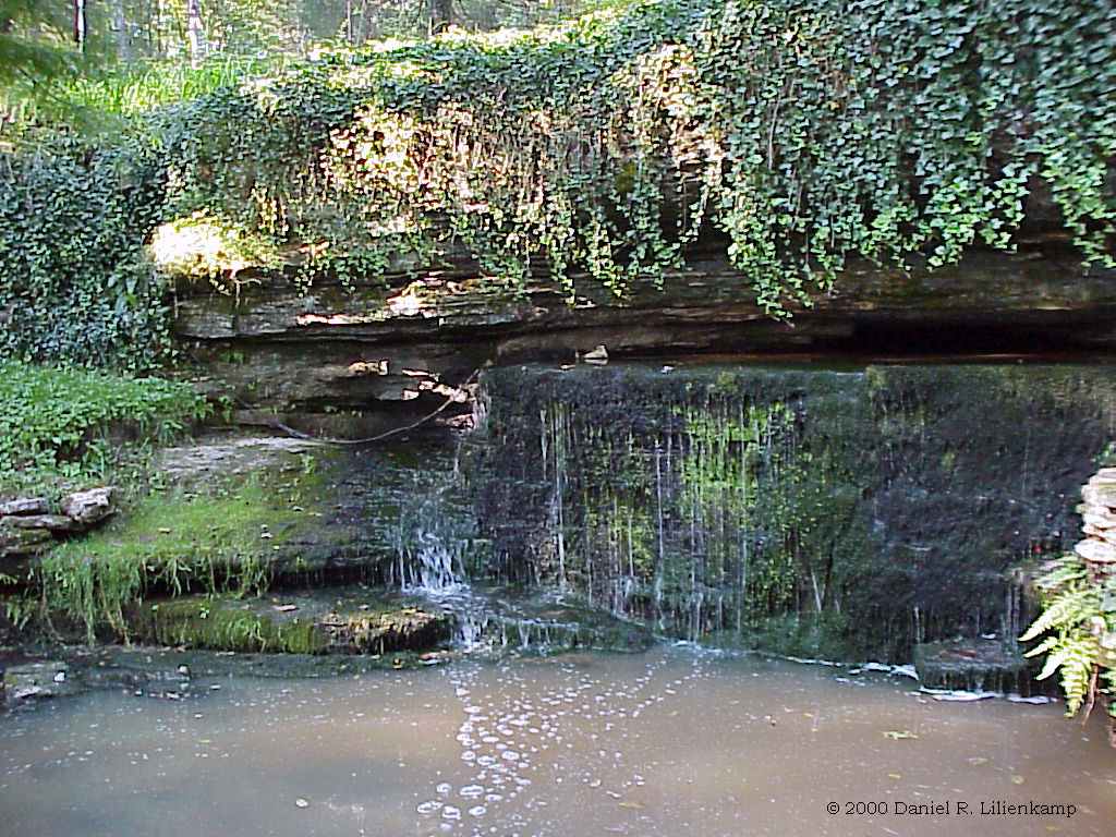
Schnurbusch Karst Window 02
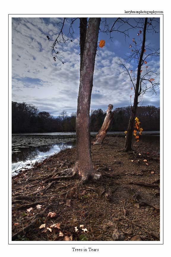
Tree in Tears
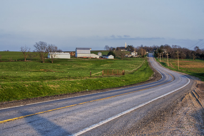
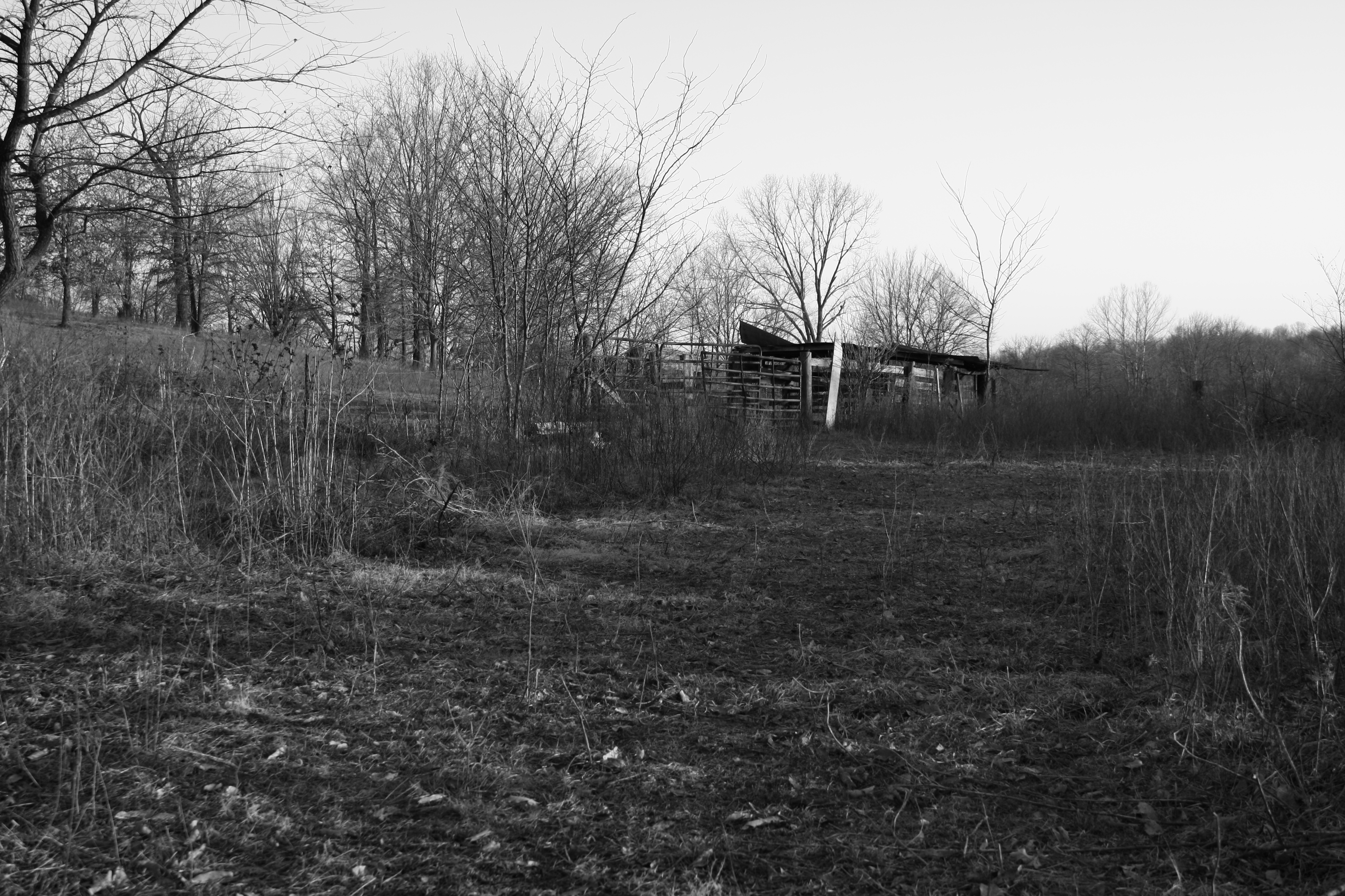
Rural Missouri
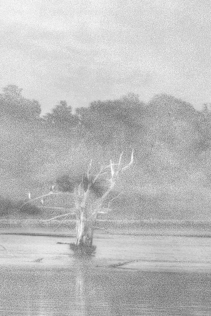
Foggy Dreams

KK road
sep05 034

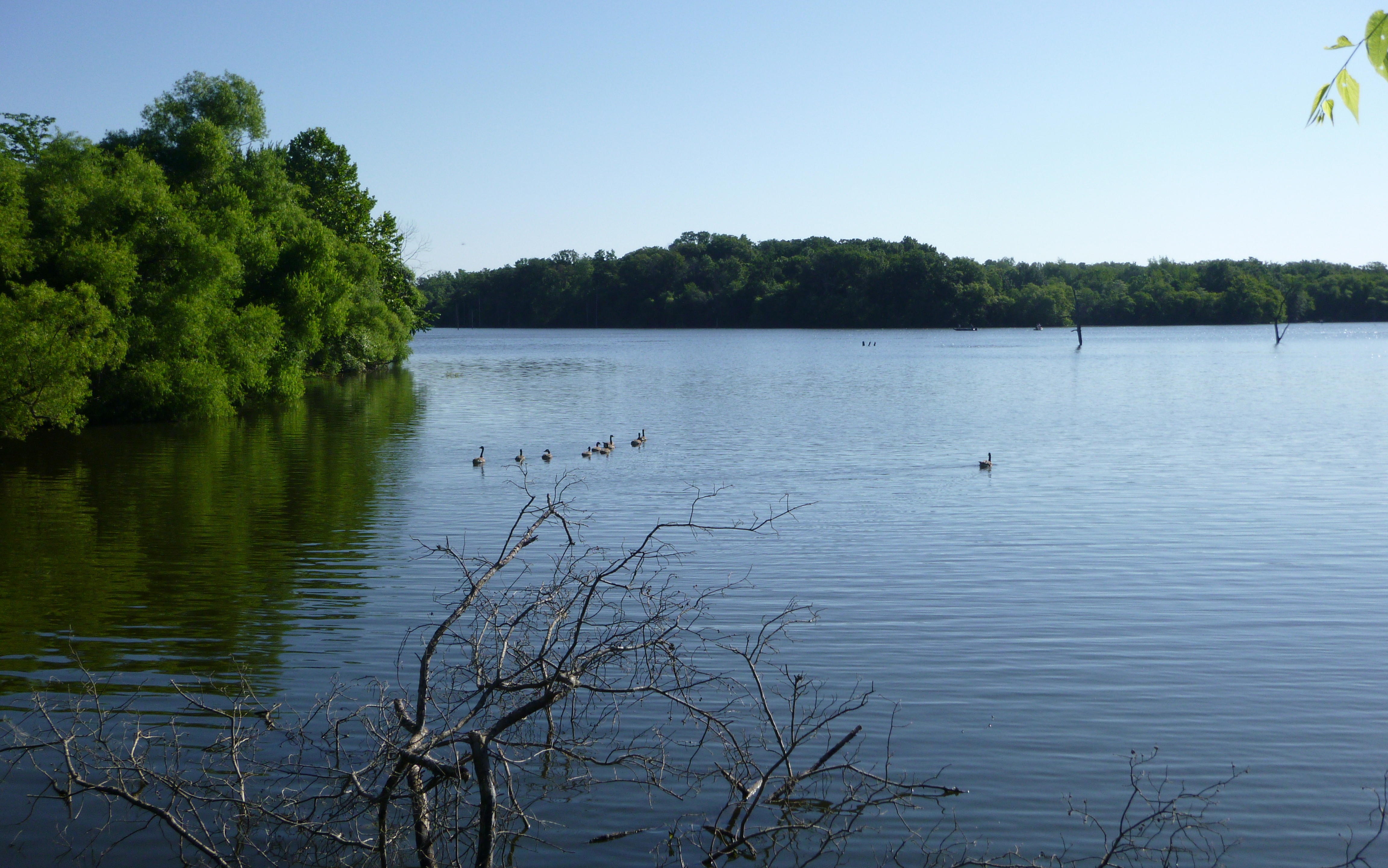
Little Apple Creek
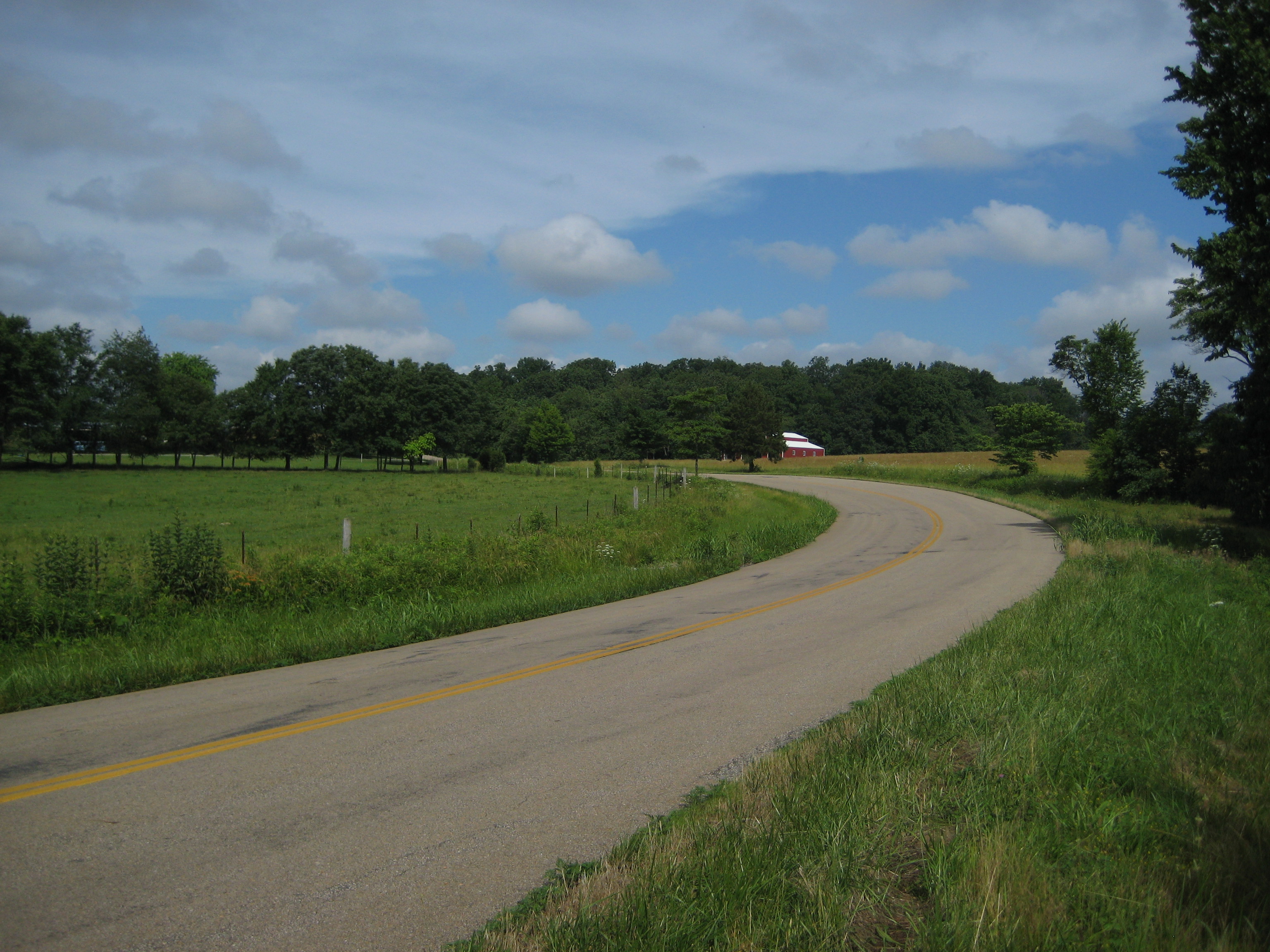
KK road
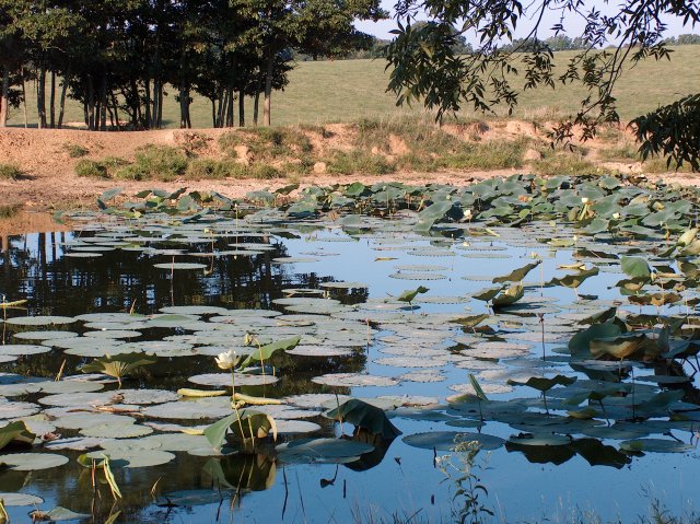
Perry County Community Lake
Garden Path
Perry County Community Lake
2006 175
2006 173
Windows on time

Little Apple Creek
High inside corner pitch
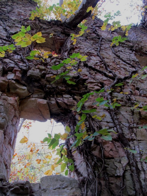
Old Pen

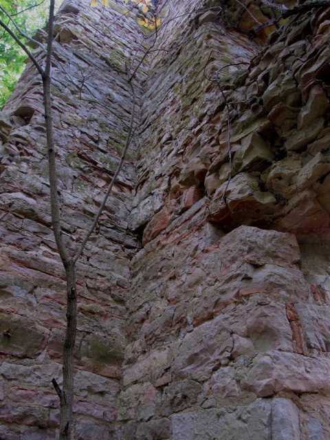
Old Pen
Topographic Map of 99 S K Dr, Perryville, MO, USA
Find elevation by address:

Places near 99 S K Dr, Perryville, MO, USA:
State Hwy B, Perryville, MO, USA
US-61, Perryville, MO, USA
Perry County
State Hwy AA, Daisy, MO, USA
Co Rd, Oak Ridge, MO, USA
Daisy
Bois Brule Township
Apple Creek Township
15773 Mo-c
MO-51, Perryville, MO, USA
Water Street Boat Ramp
2500 Il-3
2500 Il-3
2550 Il-3
2400 Il-3
E Kaskaskia St, Chester, IL, USA
Whitewater Township
Chester
IL-3, Rockwood, IL, USA
Millersville
Recent Searches:
- Elevation of 6 Rue Jules Ferry, Beausoleil, France
- Elevation of Sattva Horizon, 4JC6+G9P, Vinayak Nagar, Kattigenahalli, Bengaluru, Karnataka, India
- Elevation of Great Brook Sports, Gold Star Hwy, Groton, CT, USA
- Elevation of 10 Mountain Laurels Dr, Nashua, NH, USA
- Elevation of 16 Gilboa Ln, Nashua, NH, USA
- Elevation of Laurel Rd, Townsend, TN, USA
- Elevation of 3 Nestling Wood Dr, Long Valley, NJ, USA
- Elevation of Ilungu, Tanzania
- Elevation of Yellow Springs Road, Yellow Springs Rd, Chester Springs, PA, USA
- Elevation of Rēzekne Municipality, Latvia