Elevation of 98 Horsabäck, Sweden
Location: Sweden > Halland County >
Longitude: 13.2130093
Latitude: 56.4242661
Elevation: 77m / 253feet
Barometric Pressure: 100KPa
Elevation Map:
Satellite Map:
Related Photos:
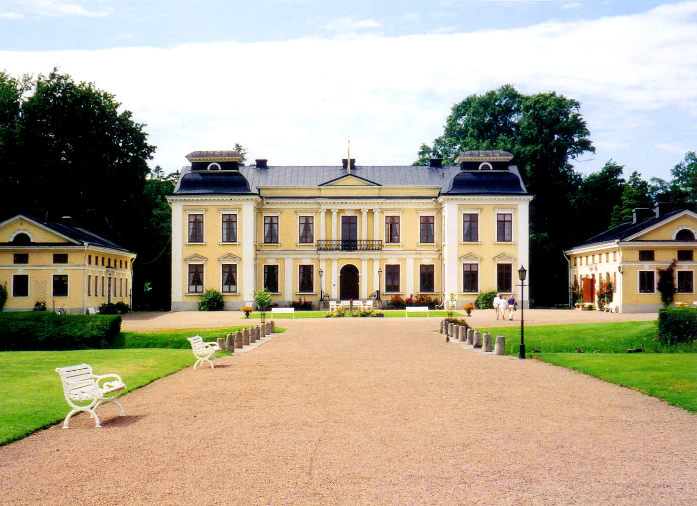
Skottorp Castle
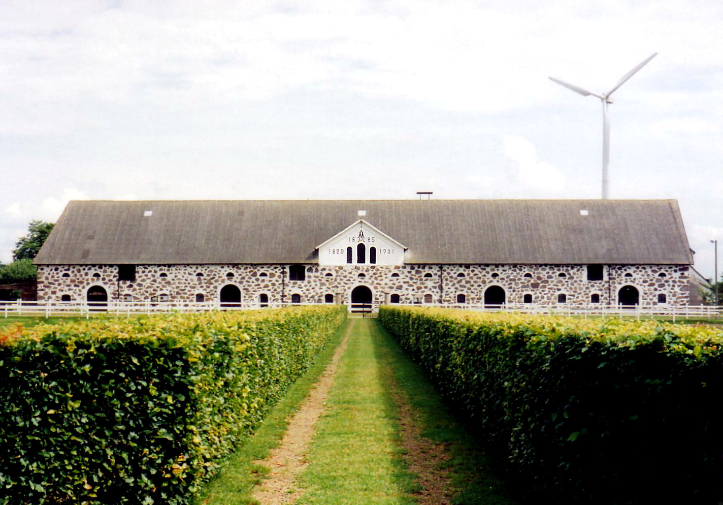
Skottorp Castle
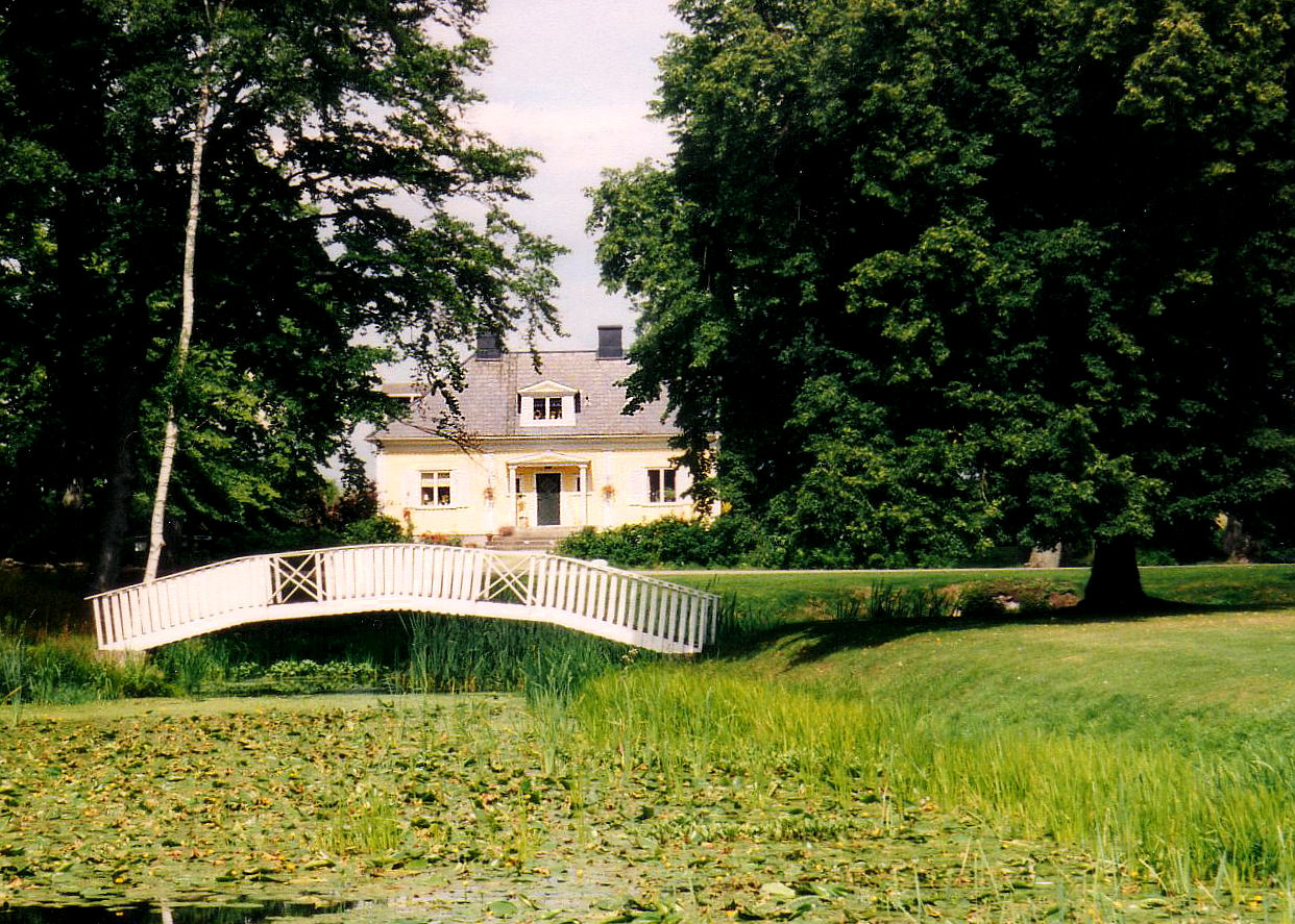
Skottorp Castle

Hjörneredsjöarna Emma

Hjörneredsjöarna Nichlas

Blue creek
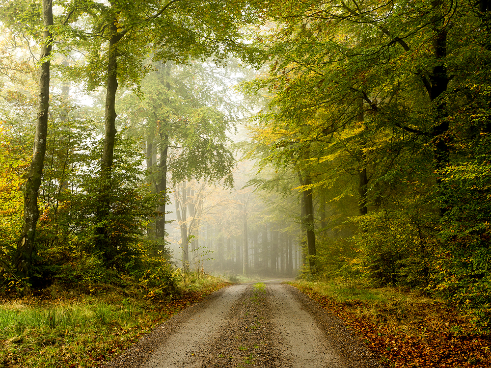
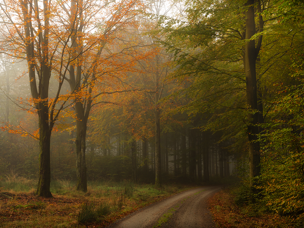
Road to autumn
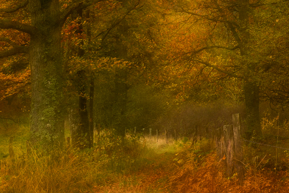
Autumn dreams

Follow the light
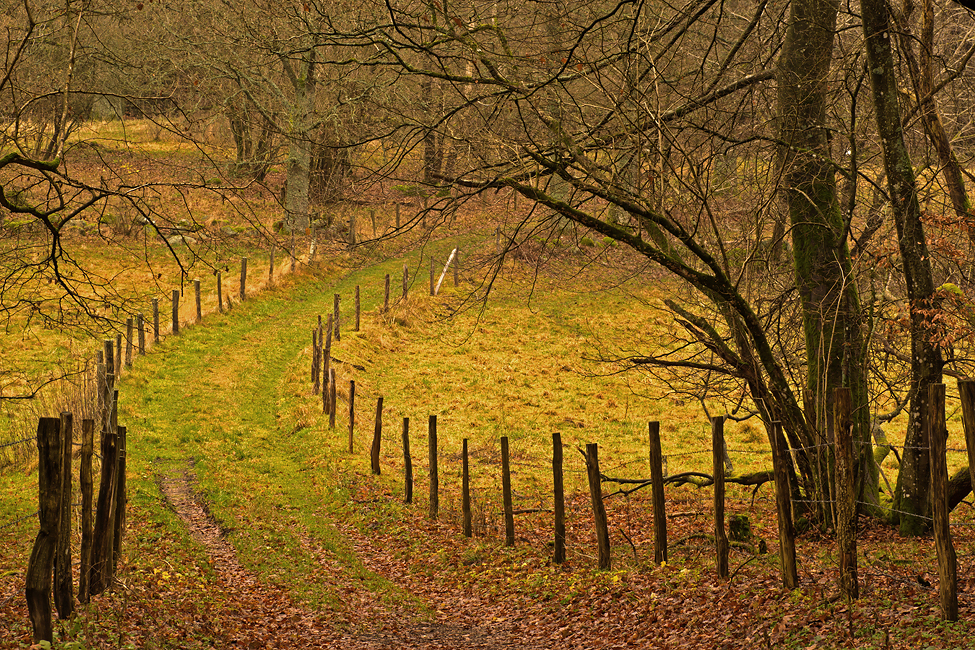
The road
Somewhere in the forest
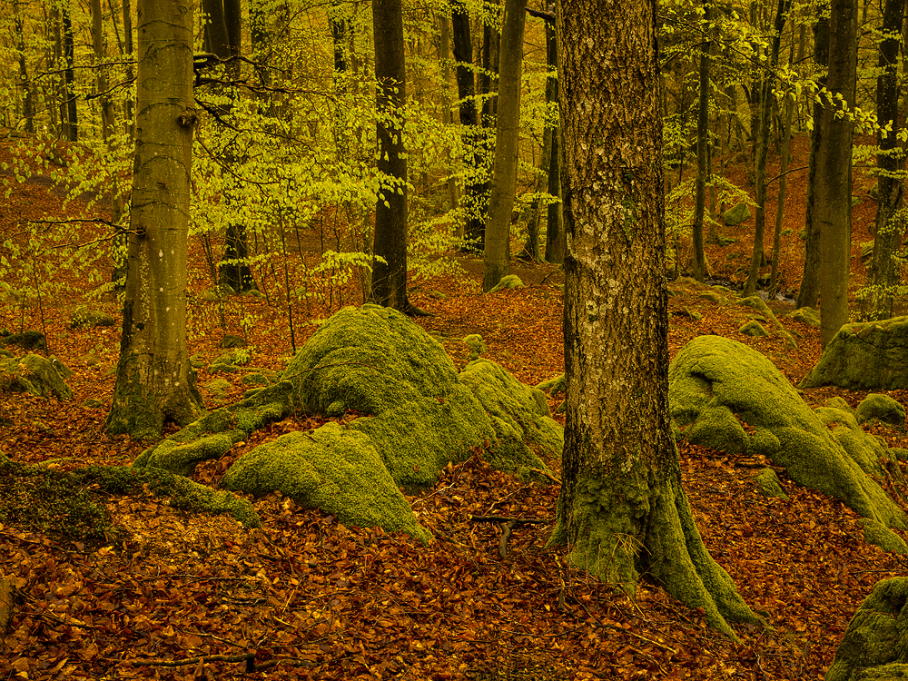
Forest at spring
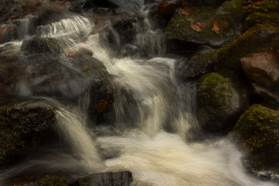
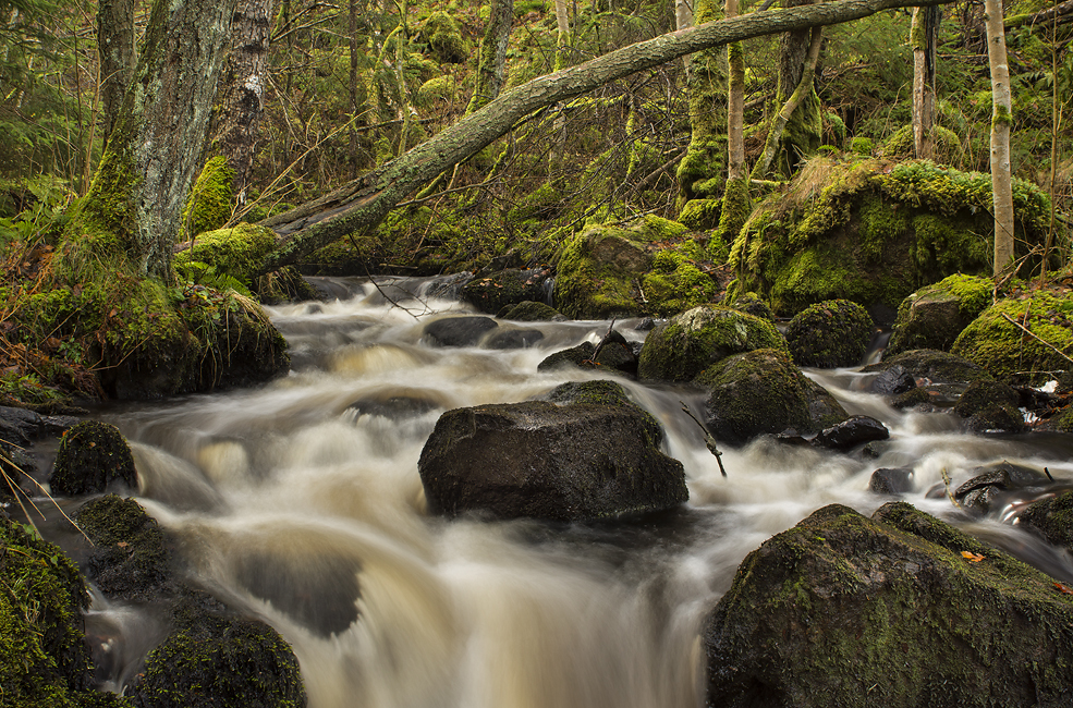
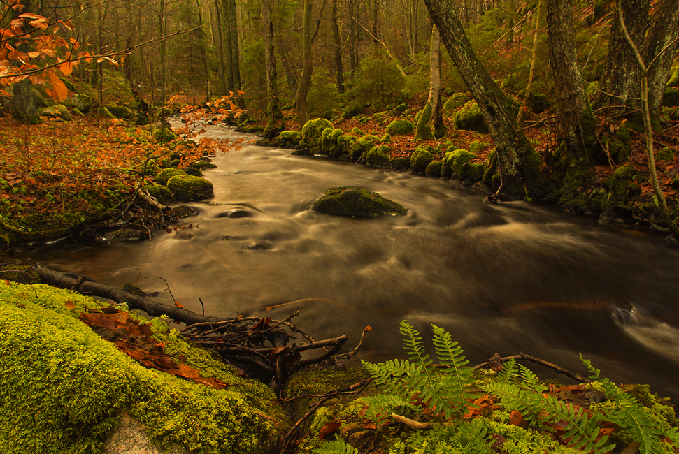
Water, moss and stones
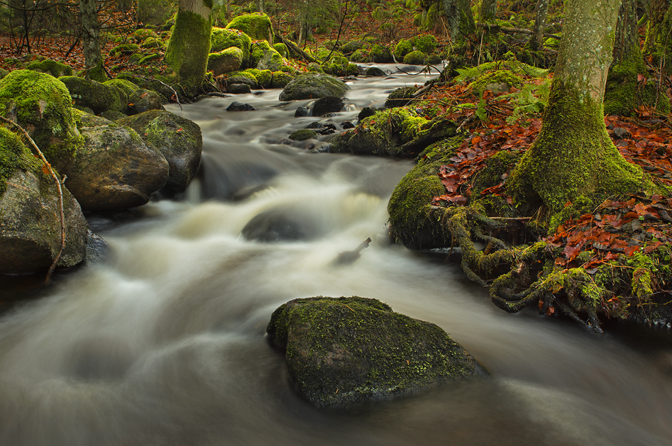
Stream in the forest
Stones, leaves and water

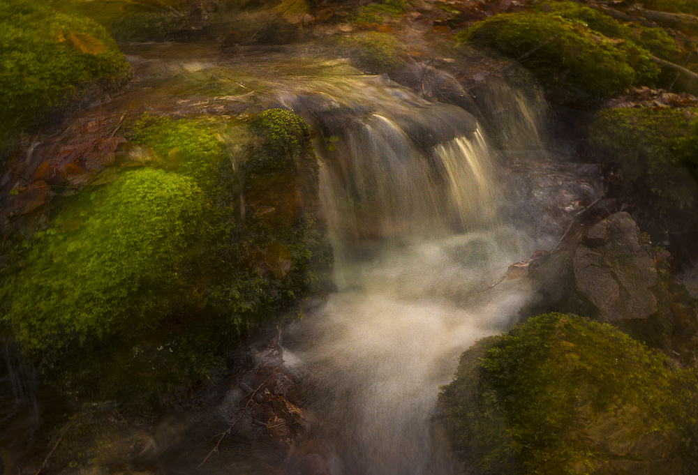
The little waterfall in the forest

Walking fungis

Sunrays over my way

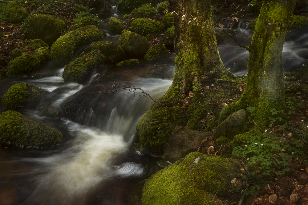
A tree in the creek

Rays in the forest
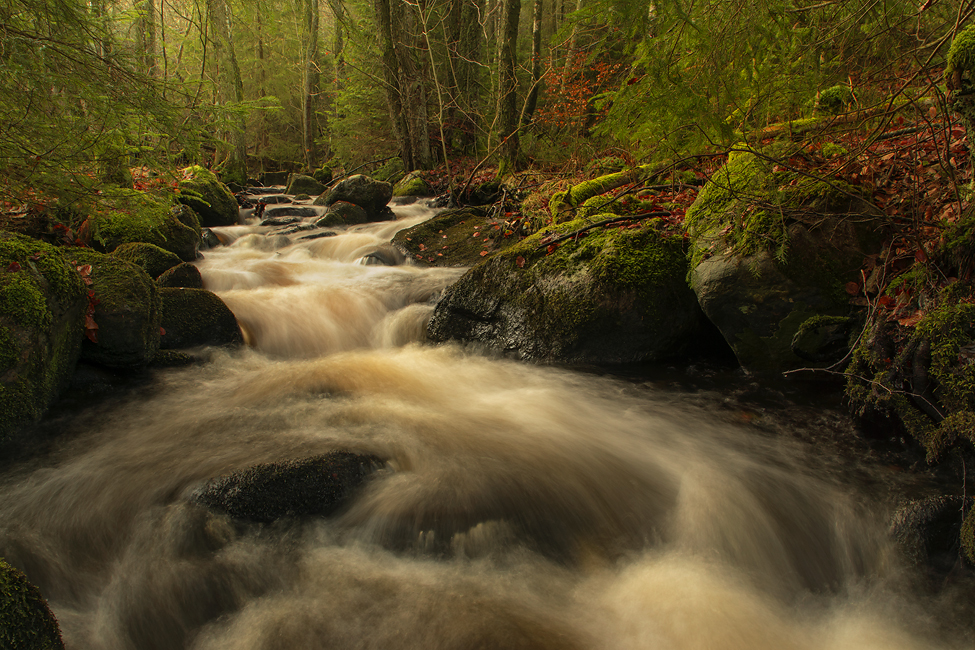
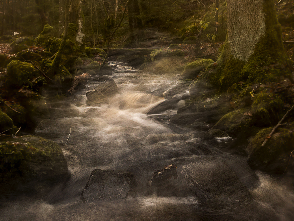
Creek in flowmotion
Creek in to the woods
The road to winter
In reality saga
The bridge
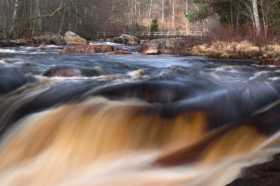
Metallic flow
Topographic Map of 98 Horsabäck, Sweden
Find elevation by address:

Places in 98 Horsabäck, Sweden:
Places near 98 Horsabäck, Sweden:
Horsabäck, 98 Våxtorp, Sweden
Örkelljunga N
Allared 31, 92 Laholm, Sweden
Tordyvelstigen 19, 92 Örkelljunga, Sweden
Allared
Grevabygget
Tönnersjö
Skåne County
Båstad So
Båstad So
Simlångsdalen
Båstad So
Brandsvigsgatan 6, 73 Ängelholm, Sweden
Båstad
Roslunda-kronotorp
Apelvägen 28, 65 Ängelholm, Sweden
Böskestorpsvägen, 92 Båstad, Sweden
Skälderviken-havsbaden
Häljarpsvägen 65
Båstad
Recent Searches:
- Elevation of 7 Waterfall Way, Tomball, TX, USA
- Elevation of SW 57th Ave, Portland, OR, USA
- Elevation of Crocker Dr, Vacaville, CA, USA
- Elevation of Pu Ngaol Community Meeting Hall, HWHM+3X7, Krong Saen Monourom, Cambodia
- Elevation of Royal Ontario Museum, Queens Park, Toronto, ON M5S 2C6, Canada
- Elevation of Groblershoop, South Africa
- Elevation of Power Generation Enterprises | Industrial Diesel Generators, Oak Ave, Canyon Country, CA, USA
- Elevation of Chesaw Rd, Oroville, WA, USA
- Elevation of N, Mt Pleasant, UT, USA
- Elevation of 6 Rue Jules Ferry, Beausoleil, France