Elevation of 95 Wornall Ln, Cynthiana, KY, USA
Location: United States > Kentucky > Harrison County > Cynthiana >
Longitude: -84.329868
Latitude: 38.3542779
Elevation: 270m / 886feet
Barometric Pressure: 98KPa
Elevation Map:
Satellite Map:
Related Photos:
Back Porch View
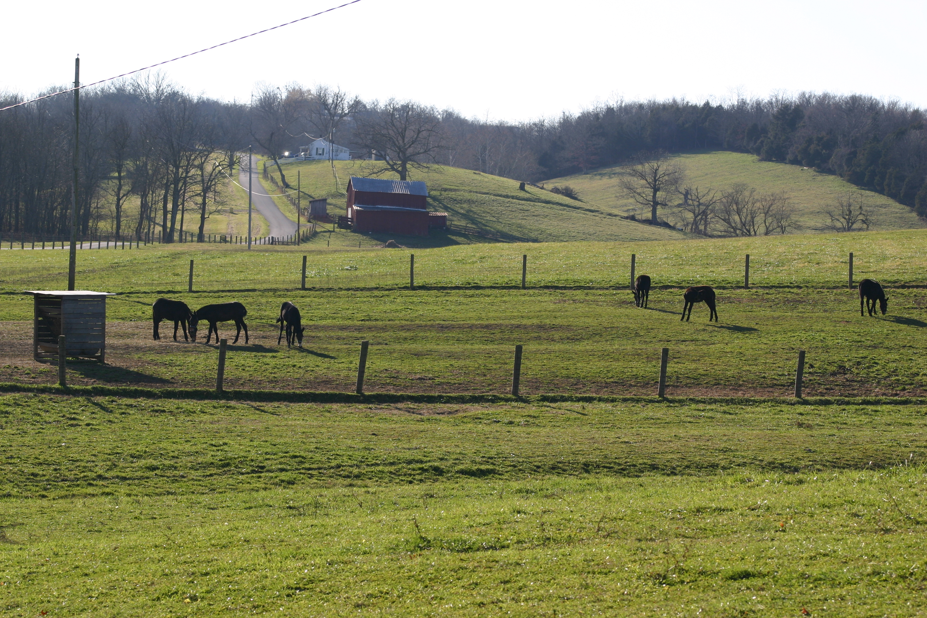
Baby Gray Mules Playing
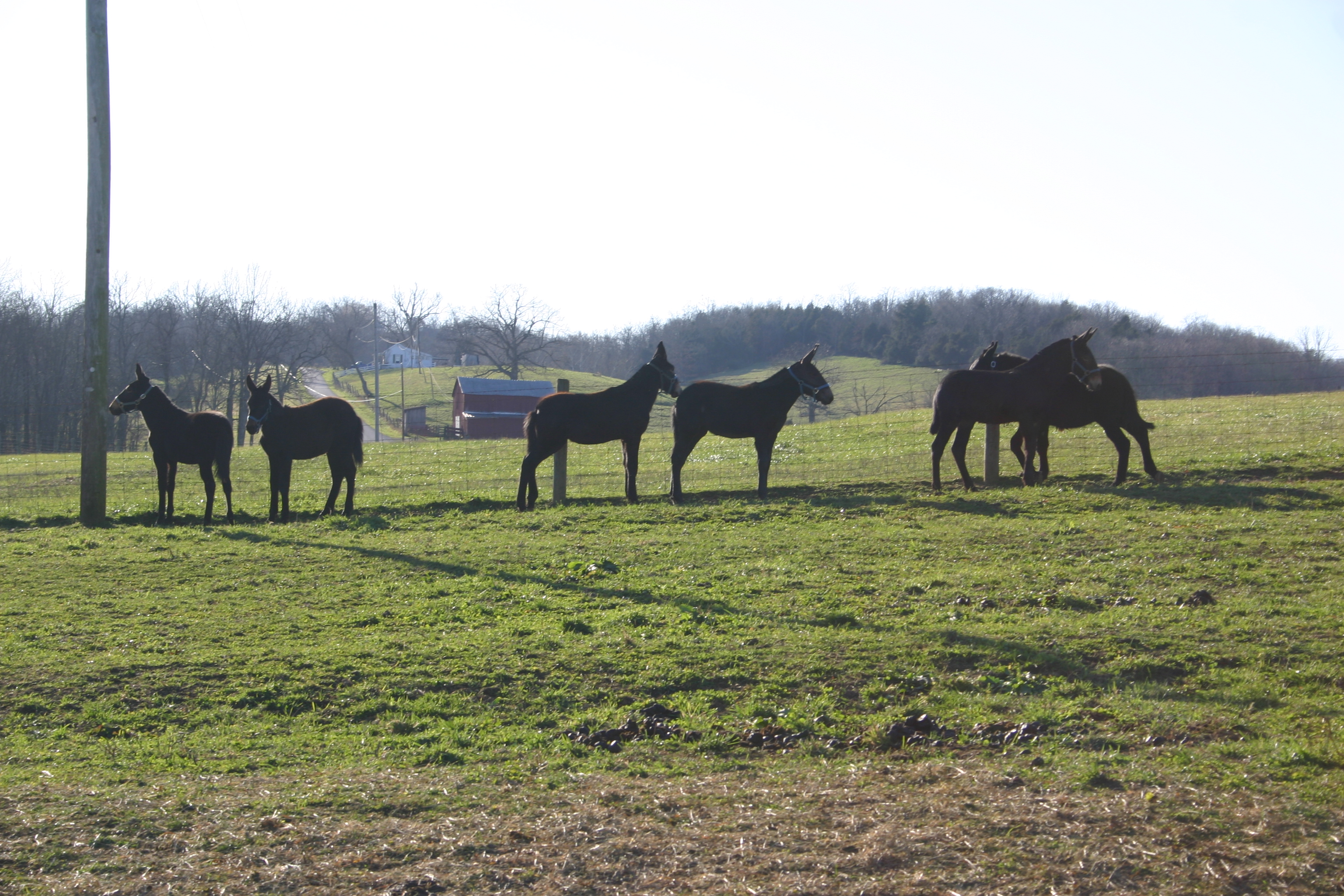
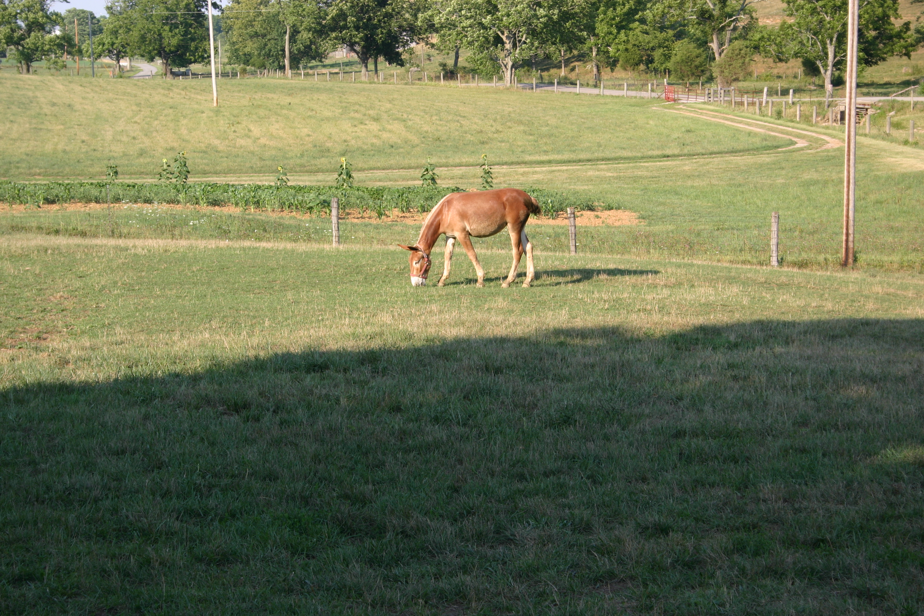
Gray Mules in the field
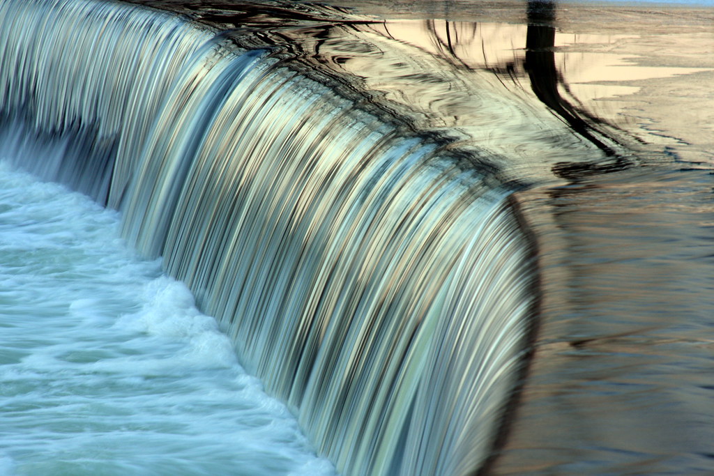
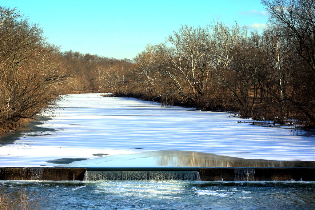
Robinson Dam

Remember Our Own Land
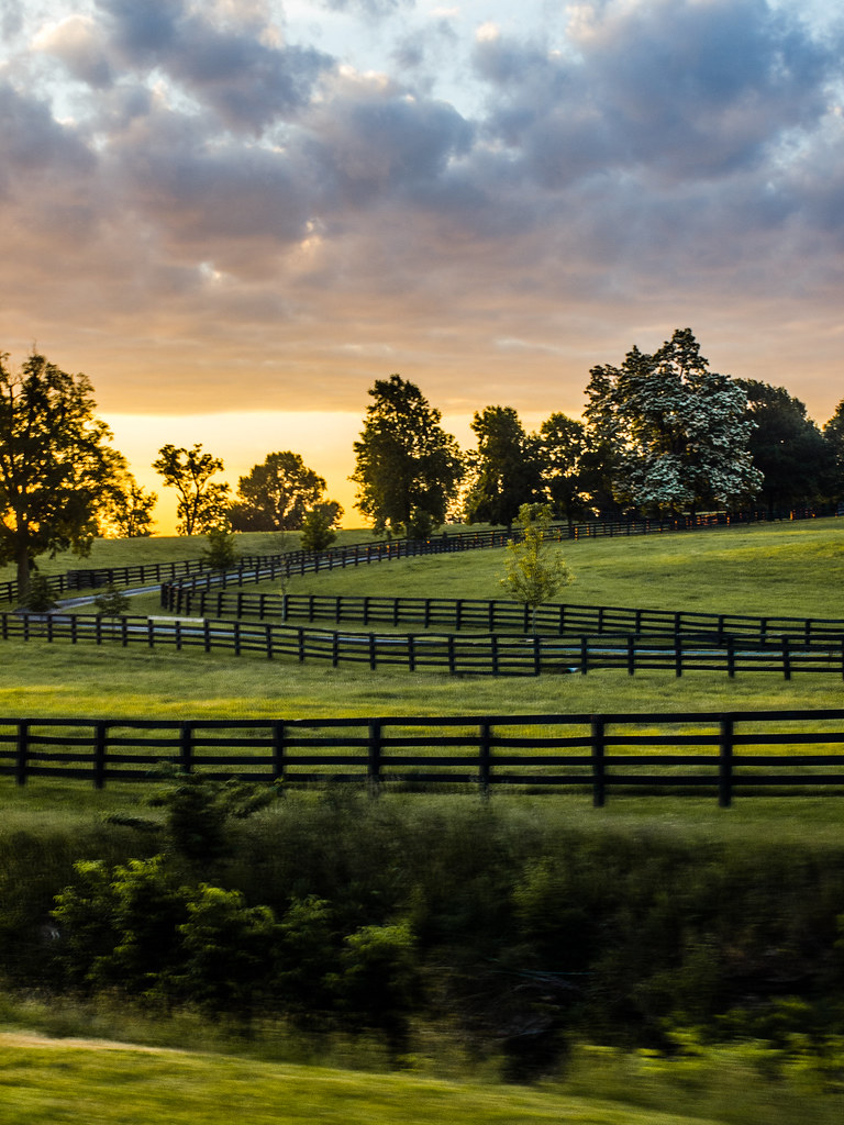
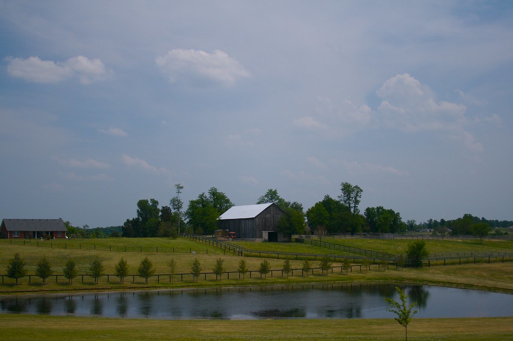
Kentucky Rolling Hills
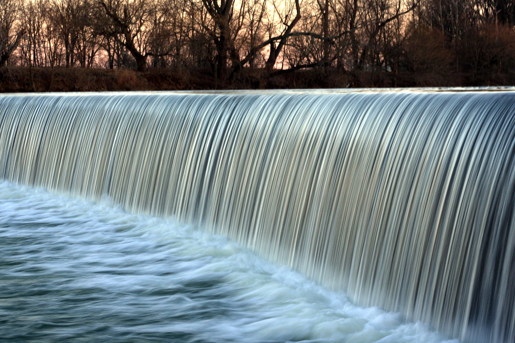
Poindexter Dam on a Sunny Evening
Robinson Dam
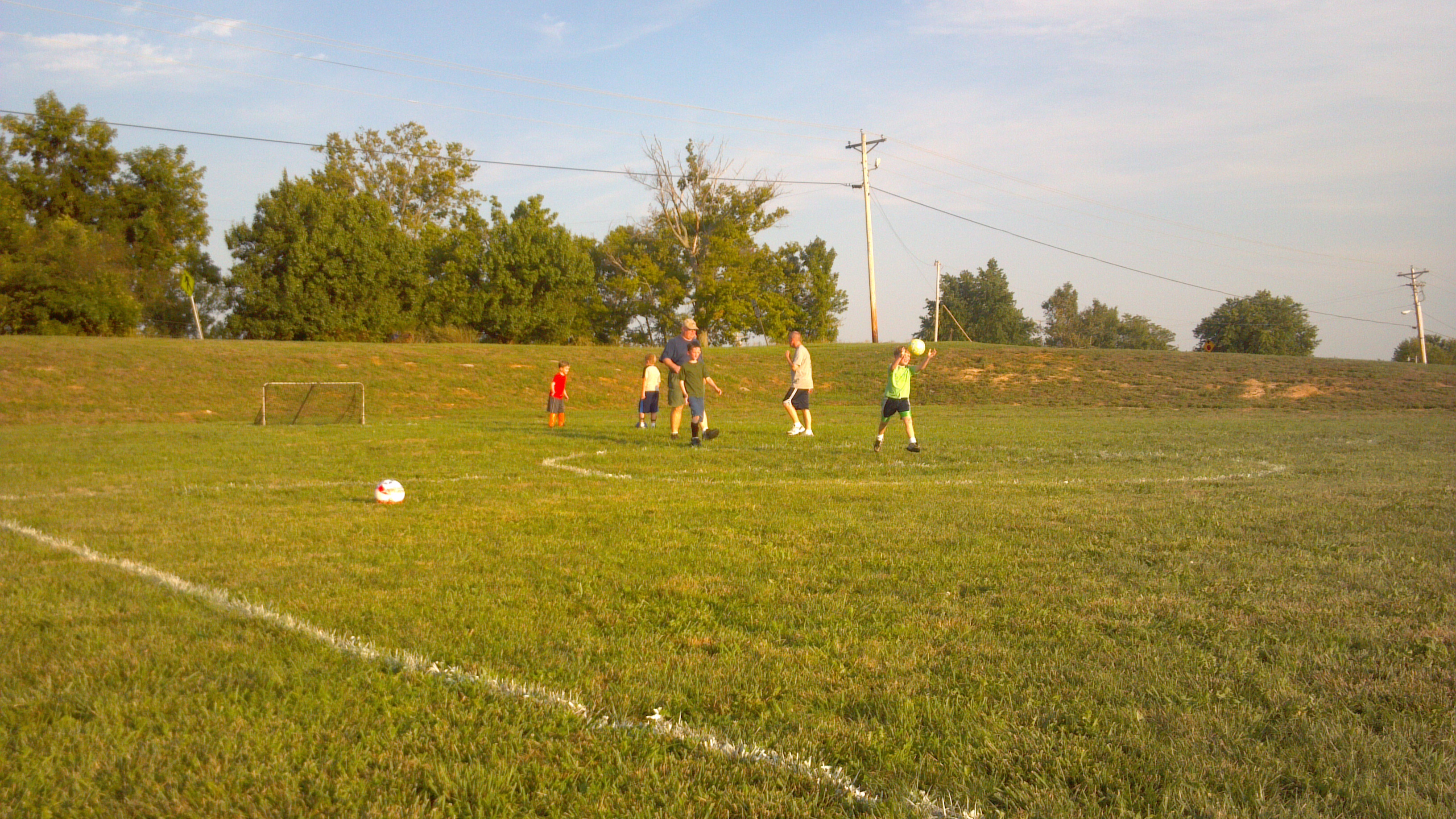
2012-07-30_19-55-03_440
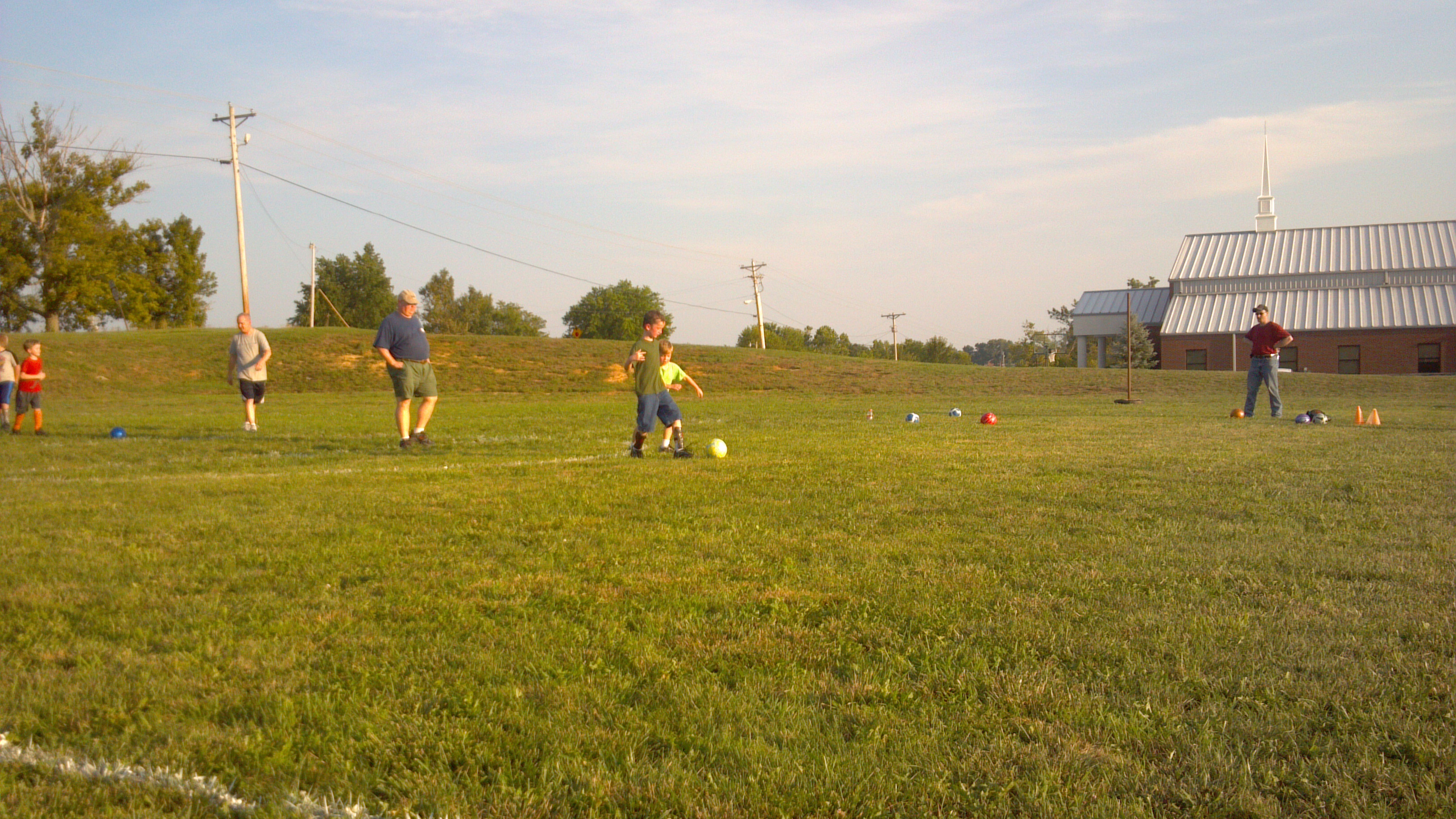
2012-07-30_19-50-38_258
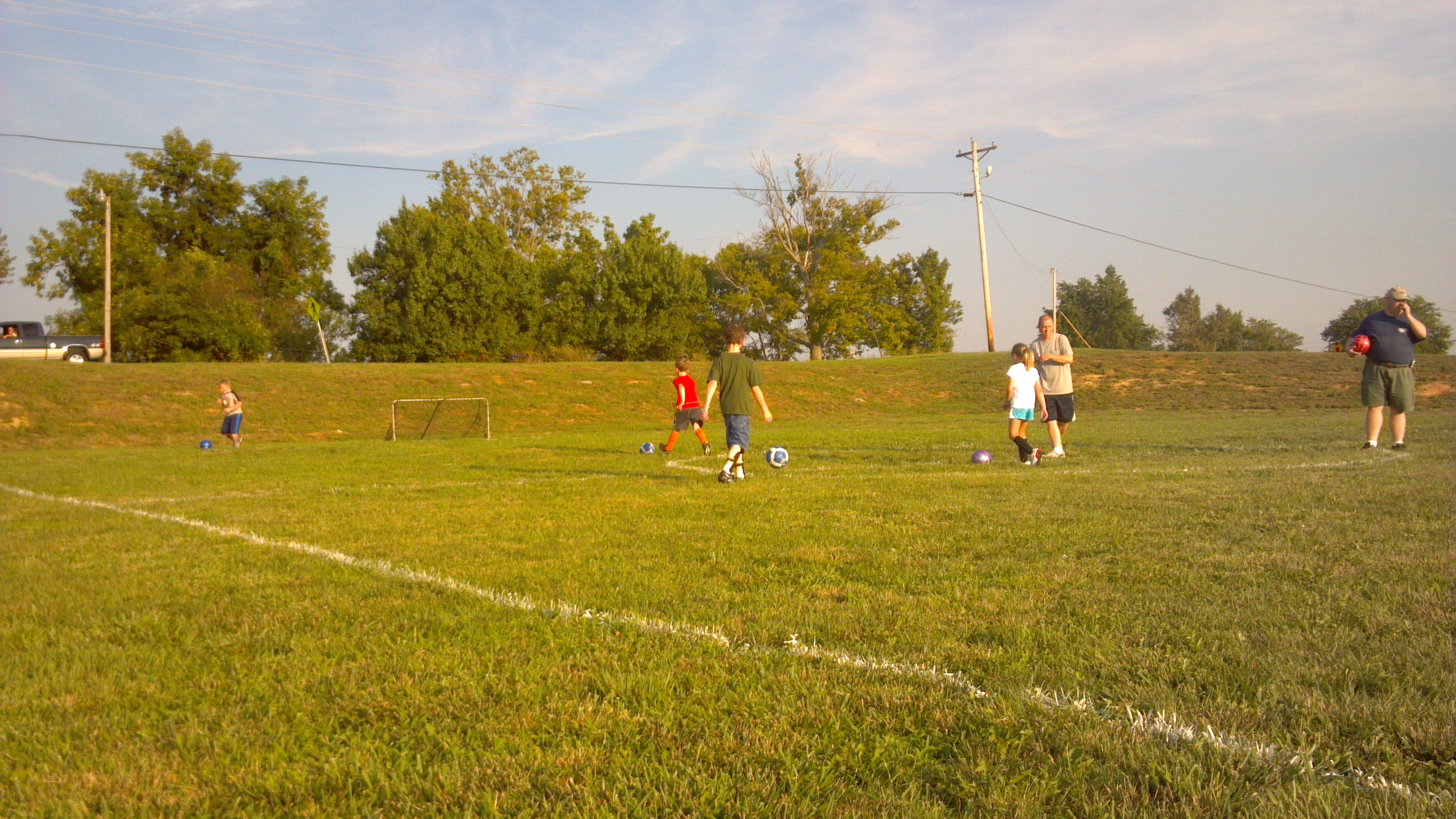
2012-07-30_19-21-30_935
2012-07-30_19-52-02_585
2012-07-30_19-26-18_665
2012-07-30_19-37-35_270
2012-07-30_19-37-41_199
Mule 2
2012-07-30_19-29-06_389
20140616_140352_Republican%20Pike
Topographic Map of 95 Wornall Ln, Cynthiana, KY, USA
Find elevation by address:

Places near 95 Wornall Ln, Cynthiana, KY, USA:
US-27, Cynthiana, KY, USA
215 Old Us Hwy 27
54 Russell Cave Rd, Cynthiana, KY, USA
401 W Pleasant St
104 E Pleasant St
405 E Bridge St
2 S Church St, Cynthiana, KY, USA
Cynthiana
161 Hicks Pike
75 Tranquil Ln
Harrison County
1649 Old Ruddles Mill Rd
KY-, Paris, KY, USA
Millersburg Pike, Cynthiana, KY, USA
Oddville Pike, Cynthiana, KY, USA
Hanson Heights
268 Houston Ave
1054 Millersburg Rd
Paris
810a
Recent Searches:
- Elevation of Crocker Dr, Vacaville, CA, USA
- Elevation of Pu Ngaol Community Meeting Hall, HWHM+3X7, Krong Saen Monourom, Cambodia
- Elevation of Royal Ontario Museum, Queens Park, Toronto, ON M5S 2C6, Canada
- Elevation of Groblershoop, South Africa
- Elevation of Power Generation Enterprises | Industrial Diesel Generators, Oak Ave, Canyon Country, CA, USA
- Elevation of Chesaw Rd, Oroville, WA, USA
- Elevation of N, Mt Pleasant, UT, USA
- Elevation of 6 Rue Jules Ferry, Beausoleil, France
- Elevation of Sattva Horizon, 4JC6+G9P, Vinayak Nagar, Kattigenahalli, Bengaluru, Karnataka, India
- Elevation of Great Brook Sports, Gold Star Hwy, Groton, CT, USA