Elevation of 95 Deer Trail Dr, Munds Park, AZ, USA
Location: United States > Arizona > Coconino County > Munds Park >
Longitude: -111.51200
Latitude: 34.7810953
Elevation: 2071m / 6795feet
Barometric Pressure: 79KPa
Elevation Map:
Satellite Map:
Related Photos:
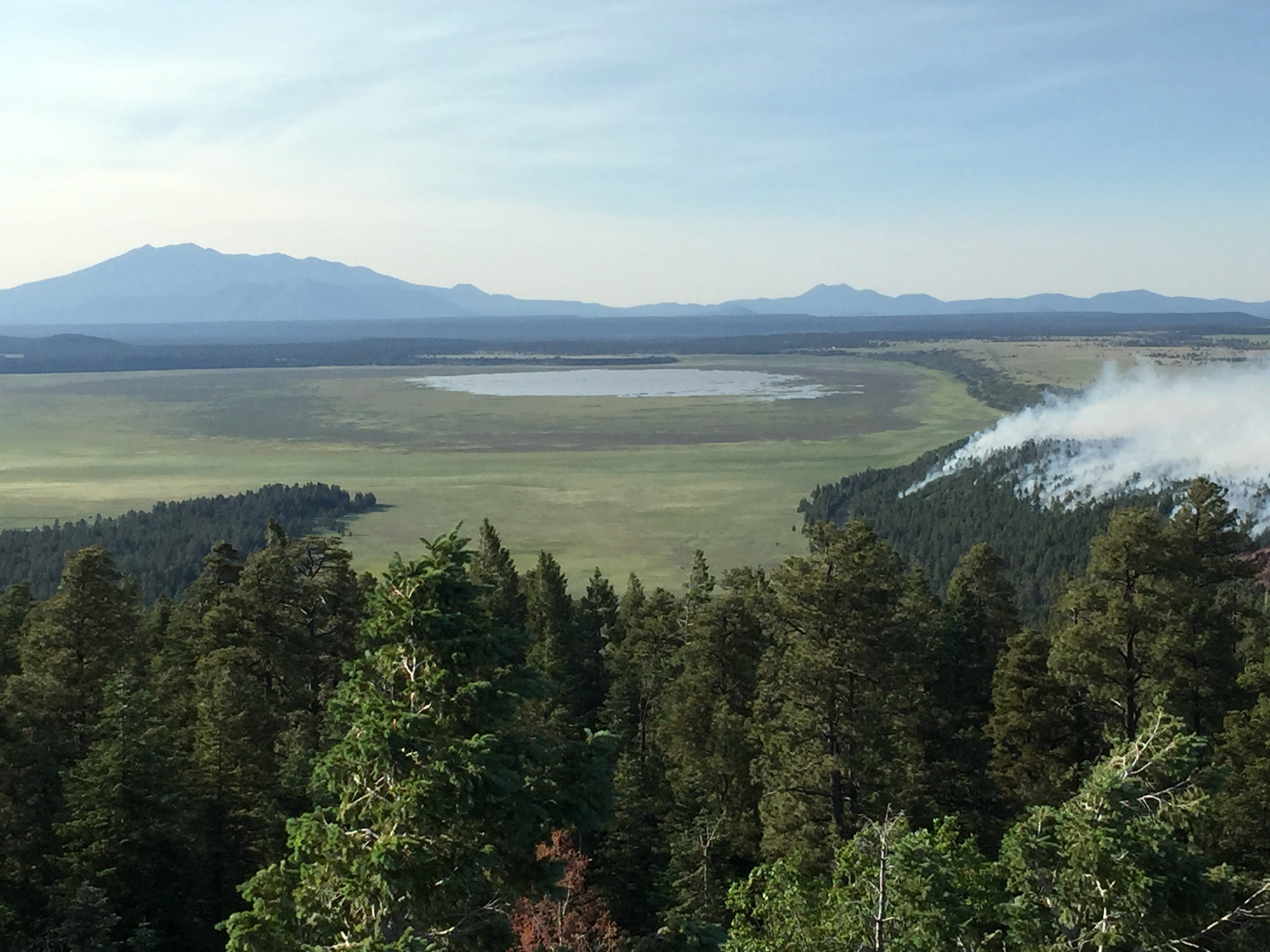
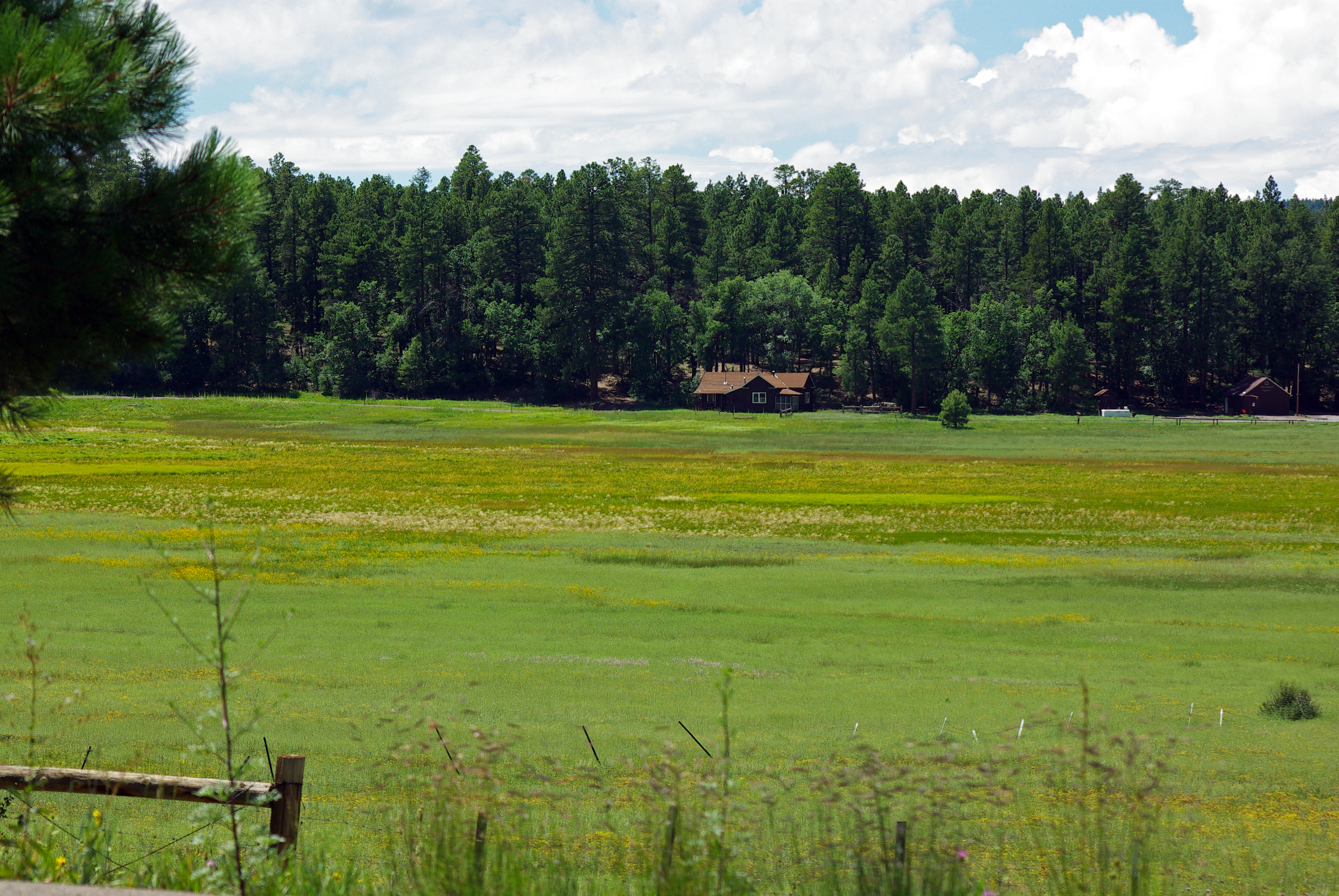
Camillo Fire 2015-06-18: Hutch L.O. View

View from room
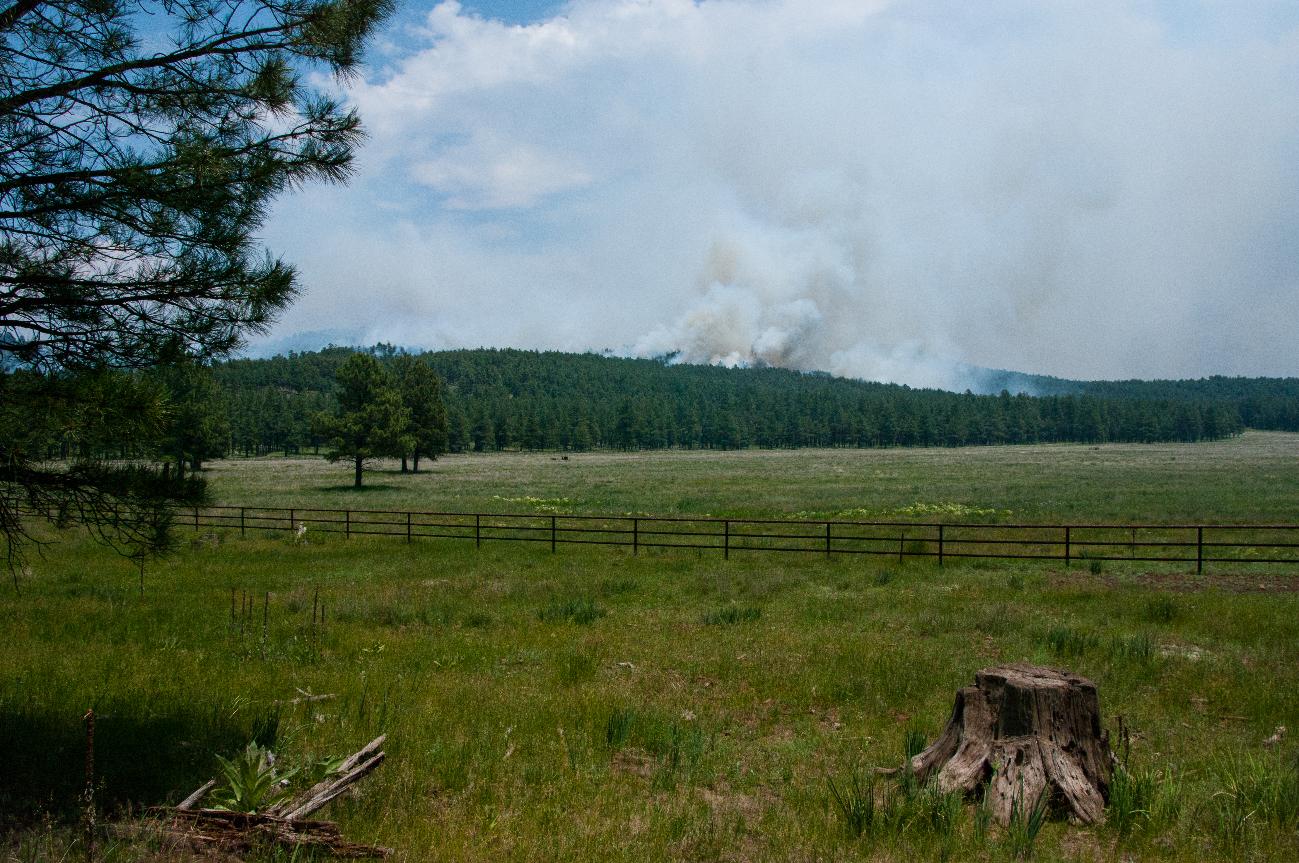
Camillo Fire 2015-06-24
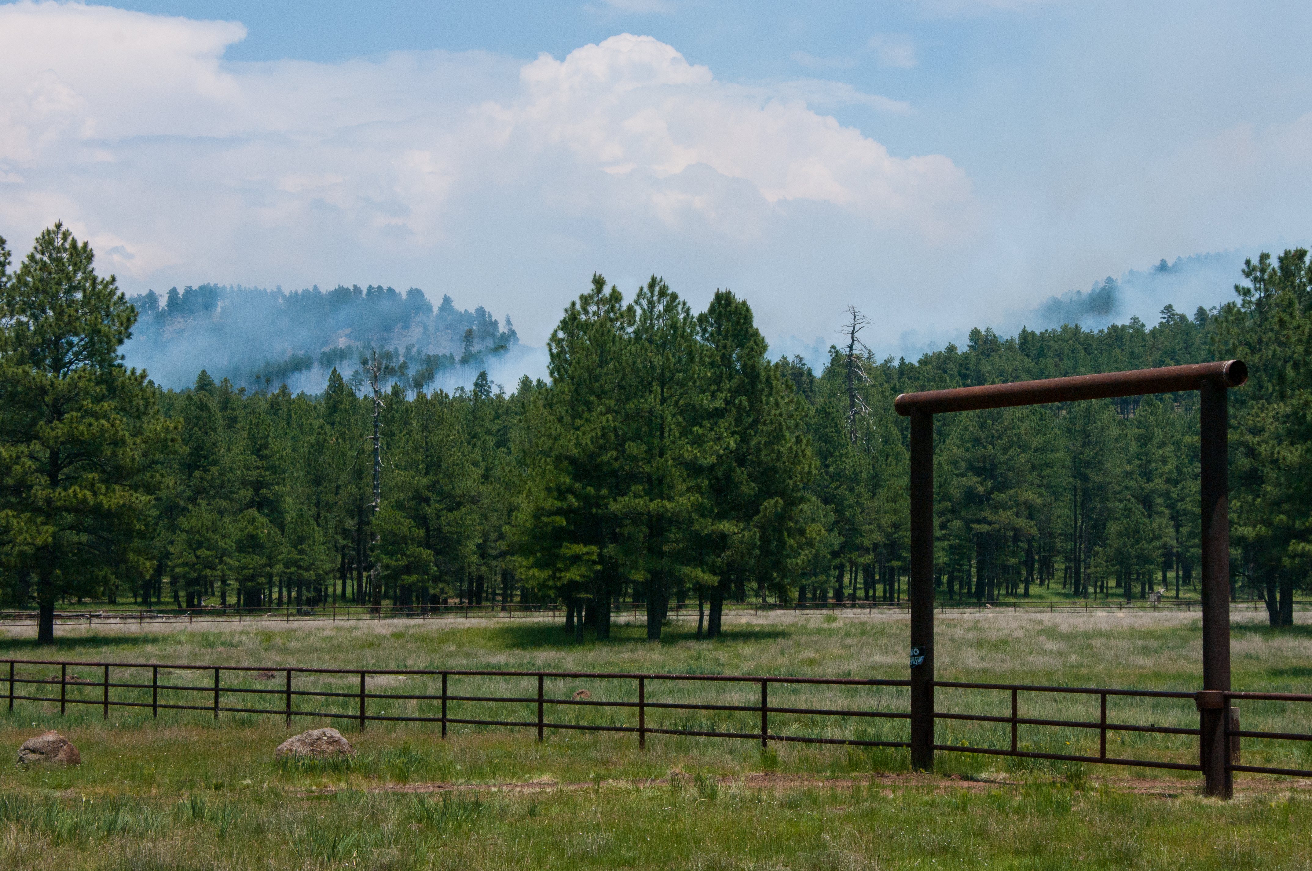
Camillo Fire 2015-06-24
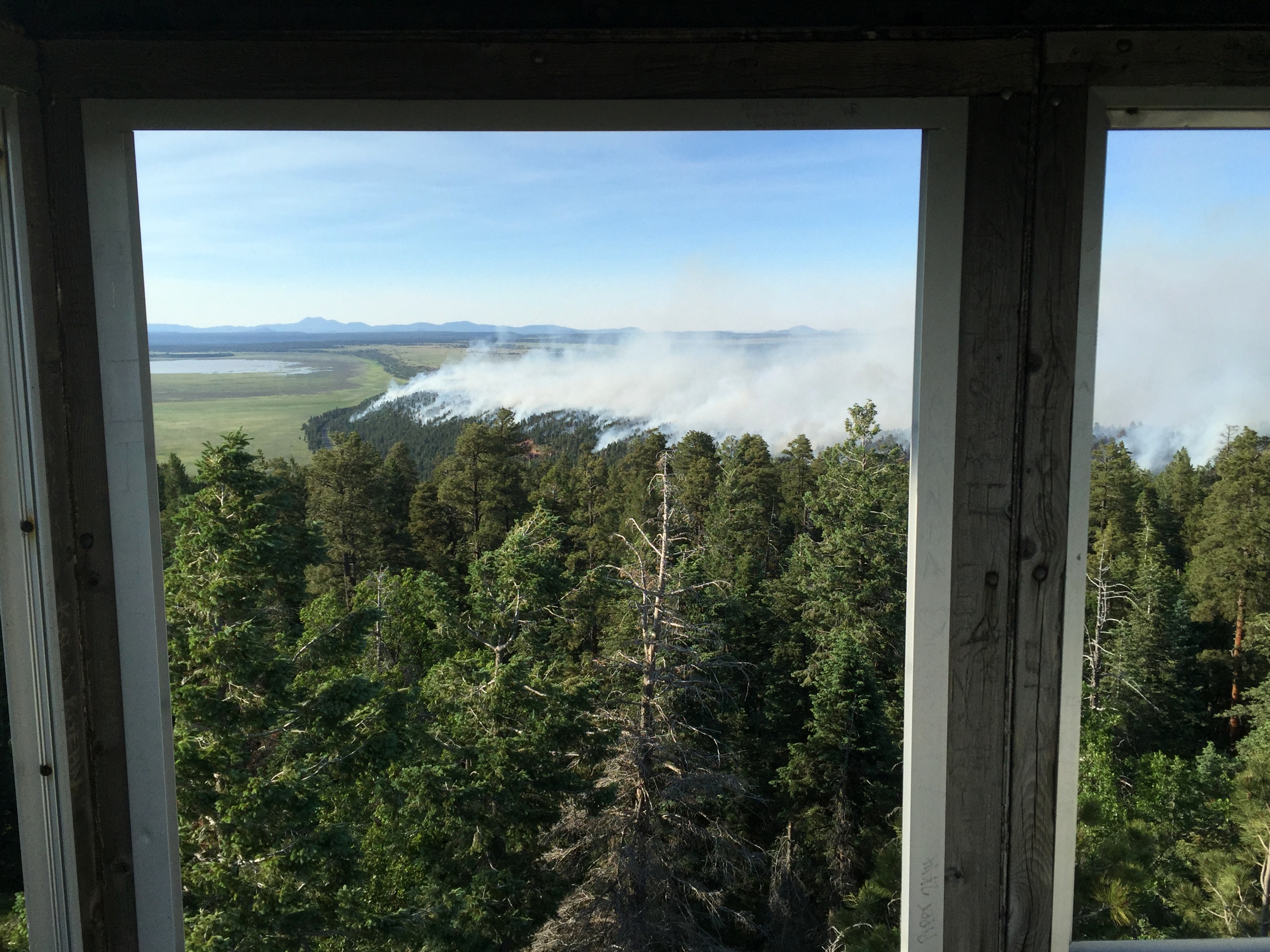
Camillo Fire 2015-06-18: Hutch L.O. View
Mountain life #instagood #instamood #iphone7 #skyporn #landscape #view #life #usa #arizona #coconino #elevation
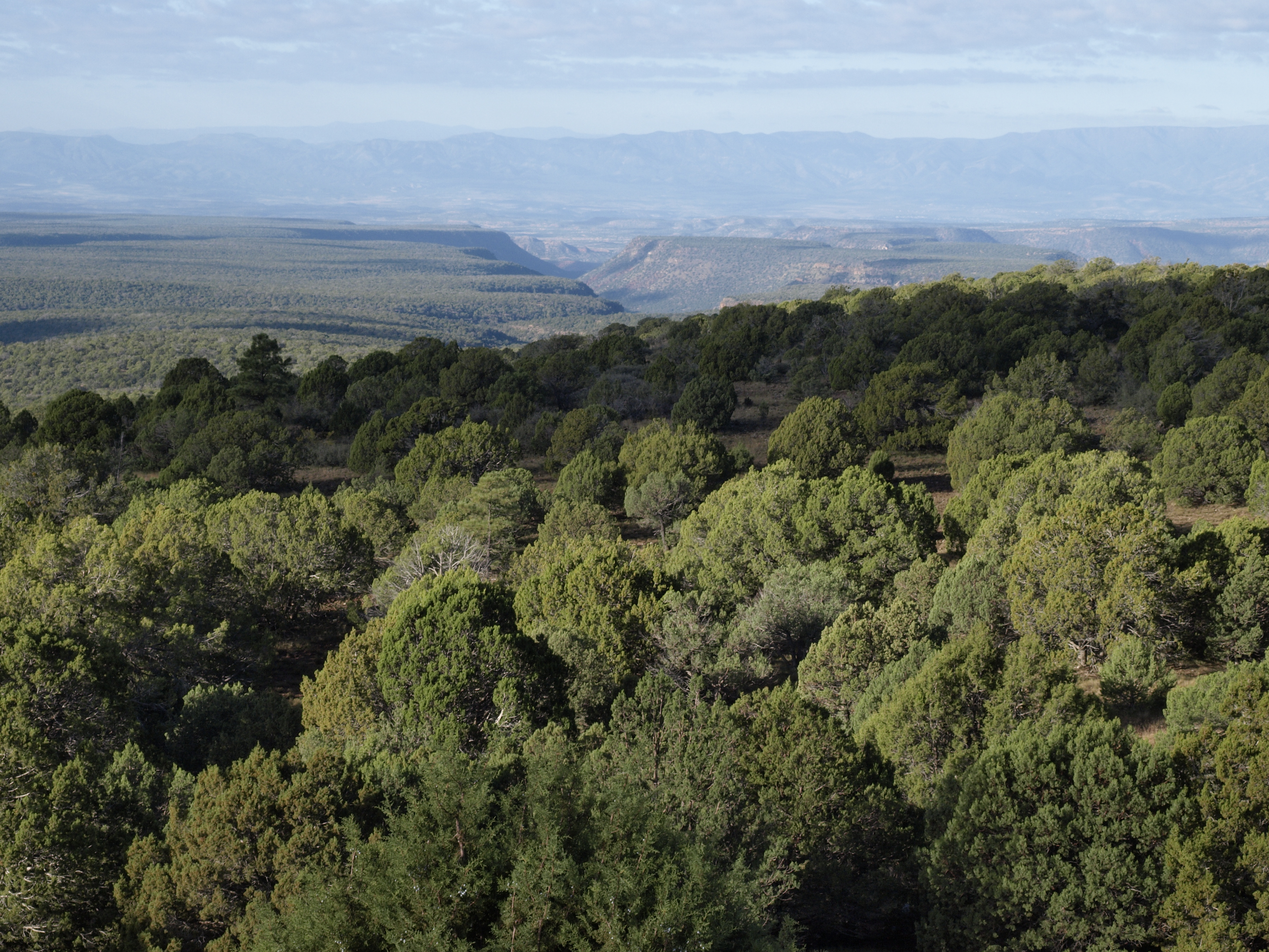
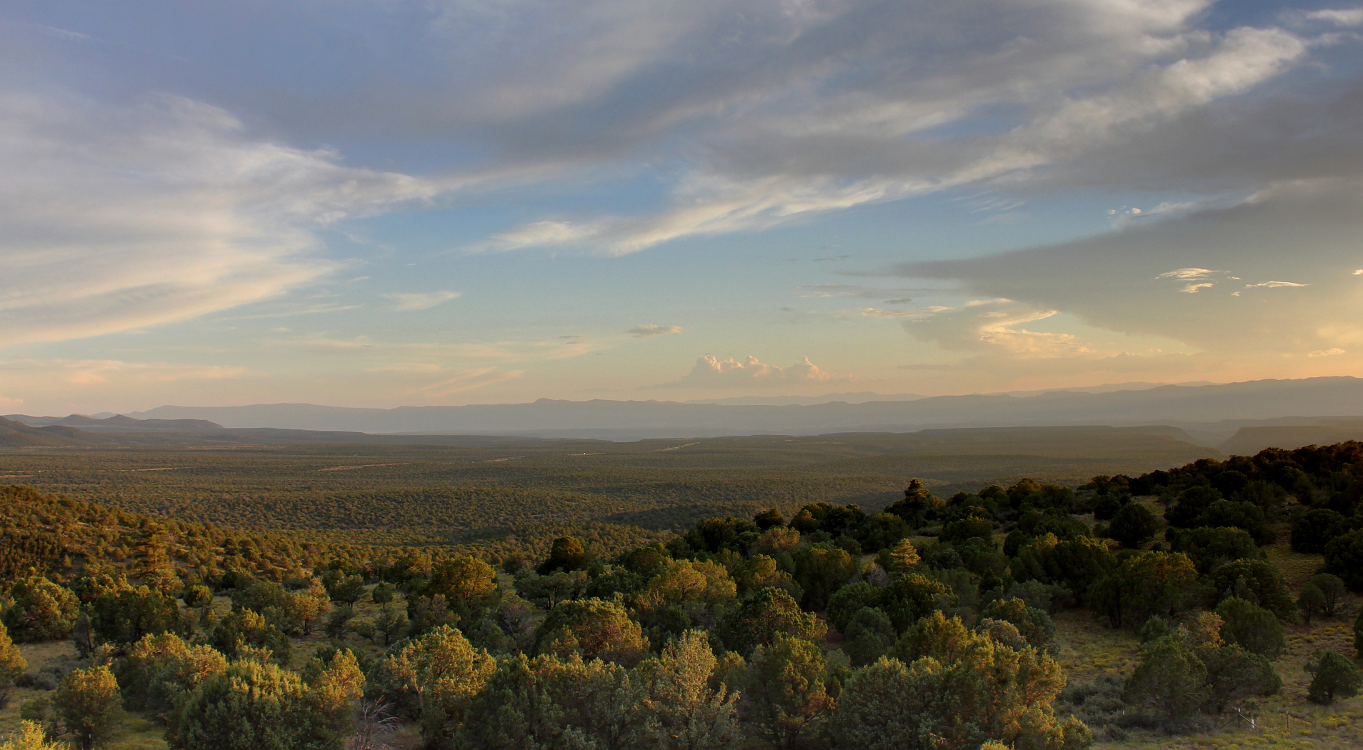
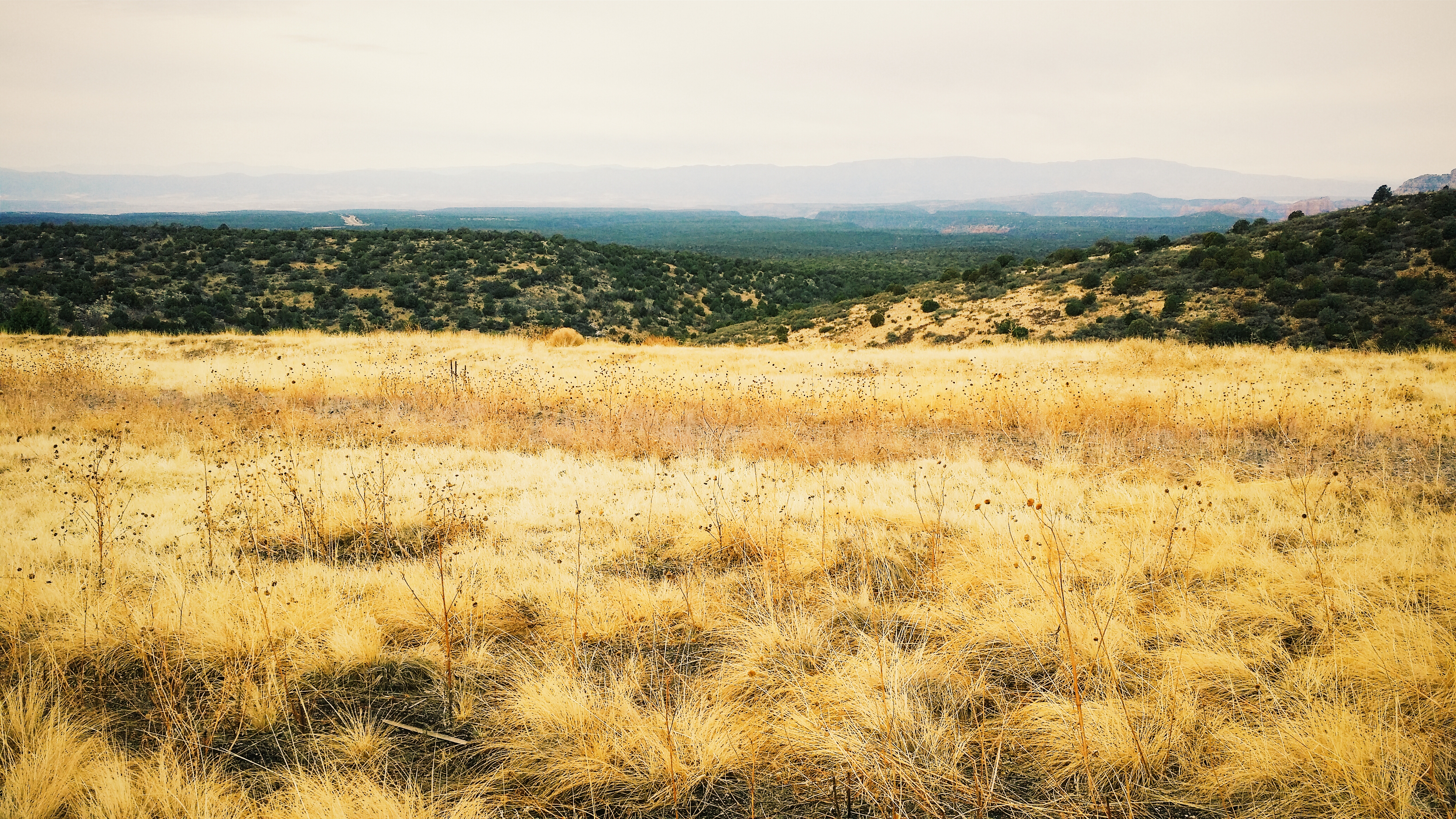
Lower Oak Creek drainage from the I-17 view point south of Munds Park

Picture A Day #133 - I-17 Overlook
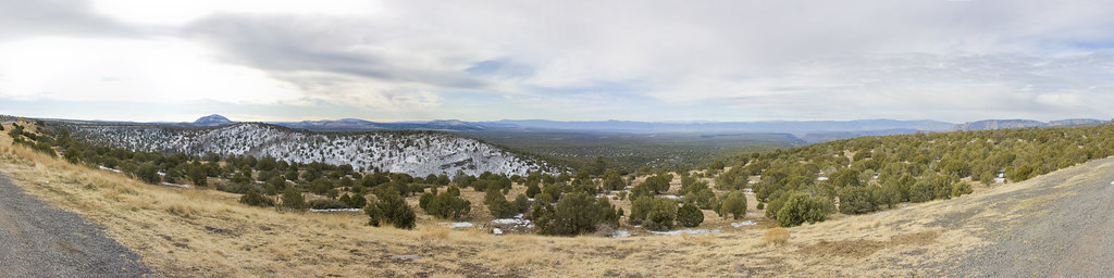
Panoramic View from IH-17
Oak Creek Canyon from the I-17 view point south of Munds Park
Panorama from the I-17 view point south of Munds Park
Arizona, view from Interstate 17
Scenic View. #Arizona
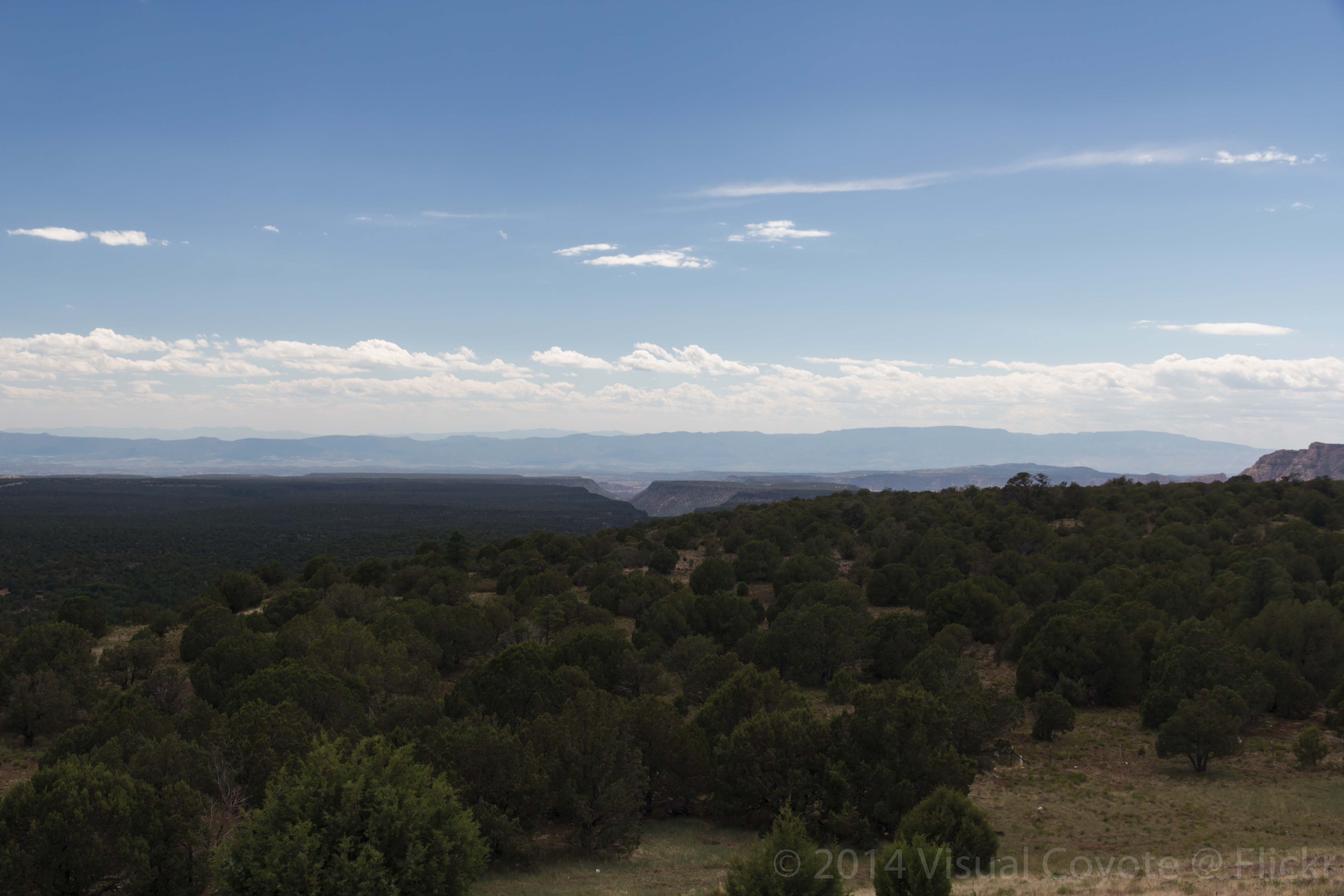
Showers over the Verde Valley from the I-17 view point south of Munds Park
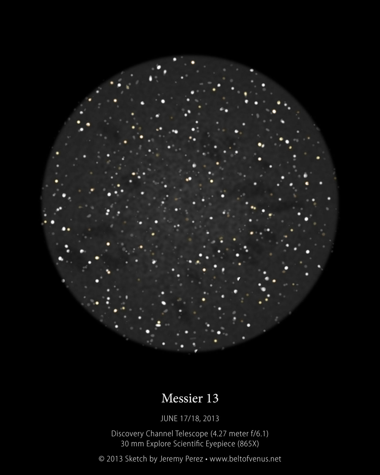
Messier 13 DCT Visual Impression
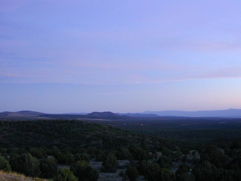
Verde Valley Twilight
Slide Rock Canyon View
Scenic View
At the Edge
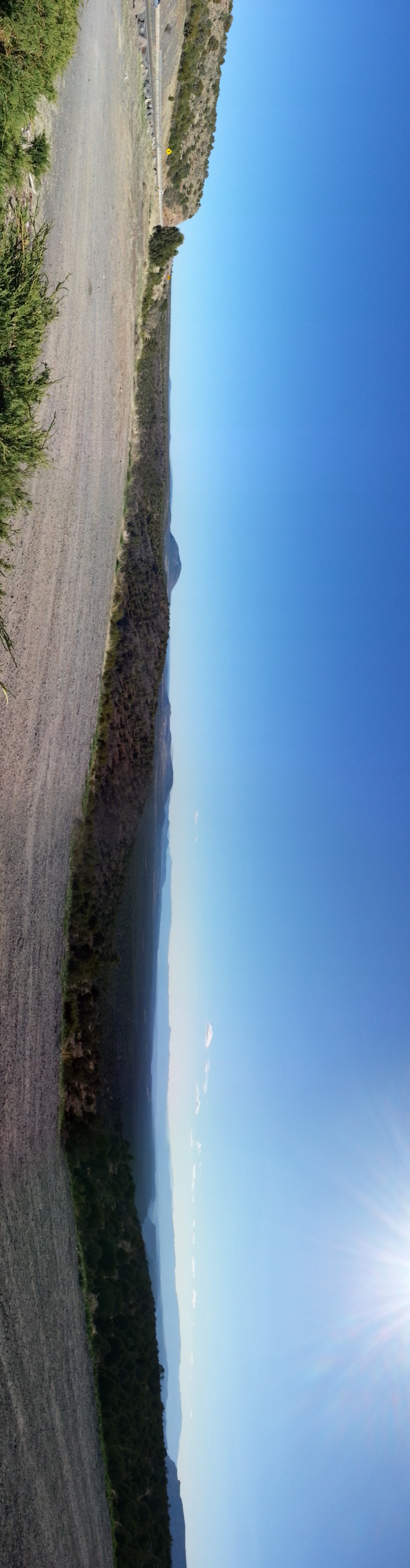
Panorama from a scenic view stop
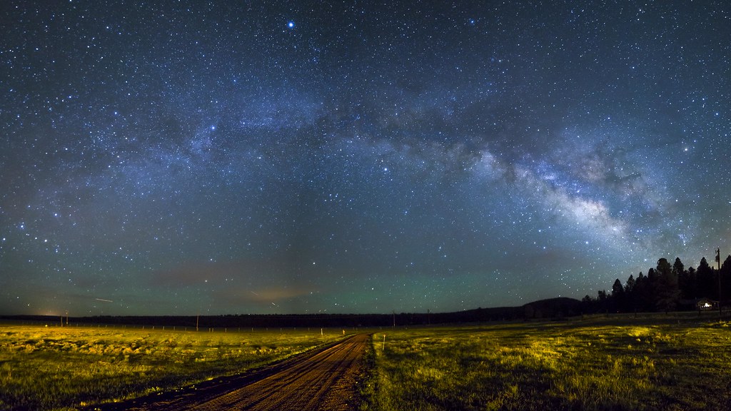
Road Through The Galaxy

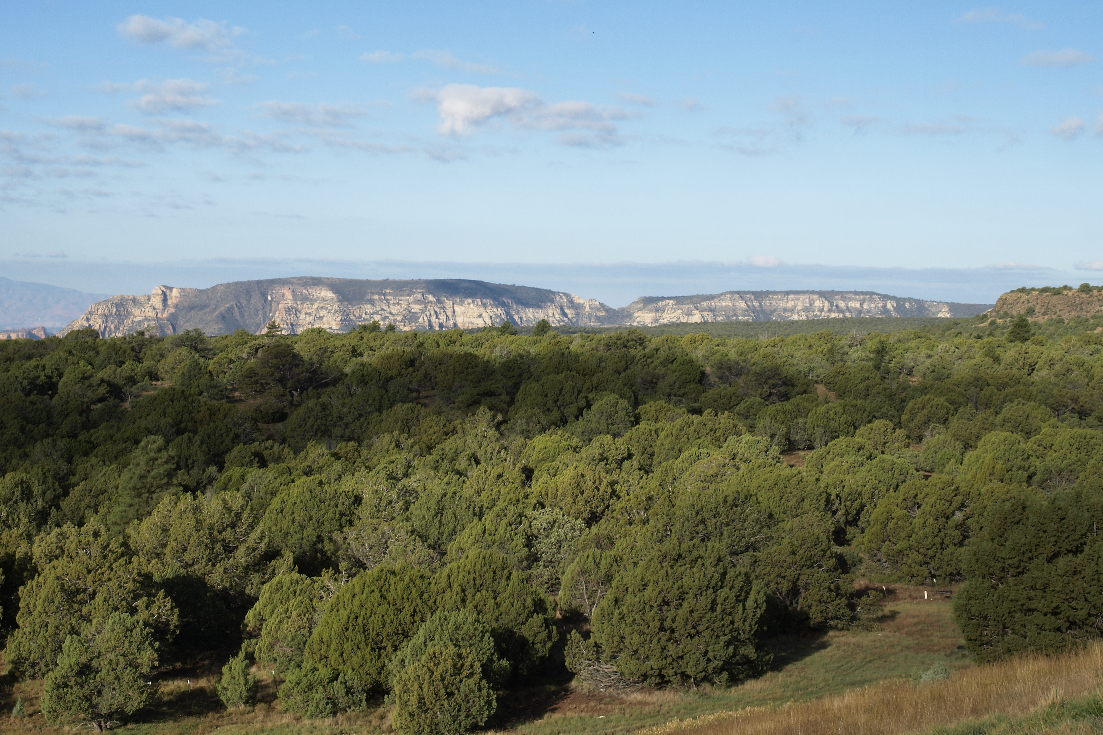
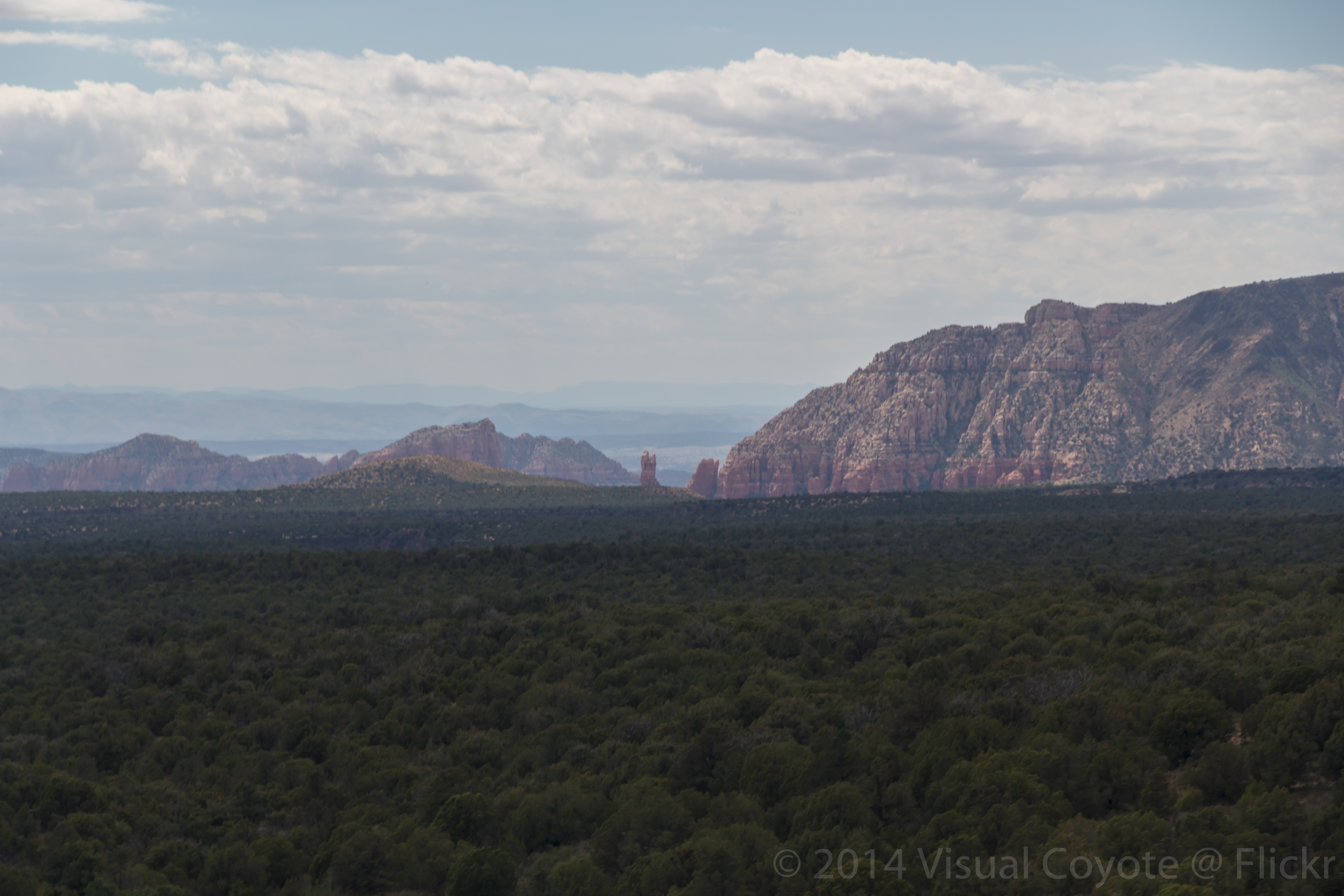
Layers near Sedona
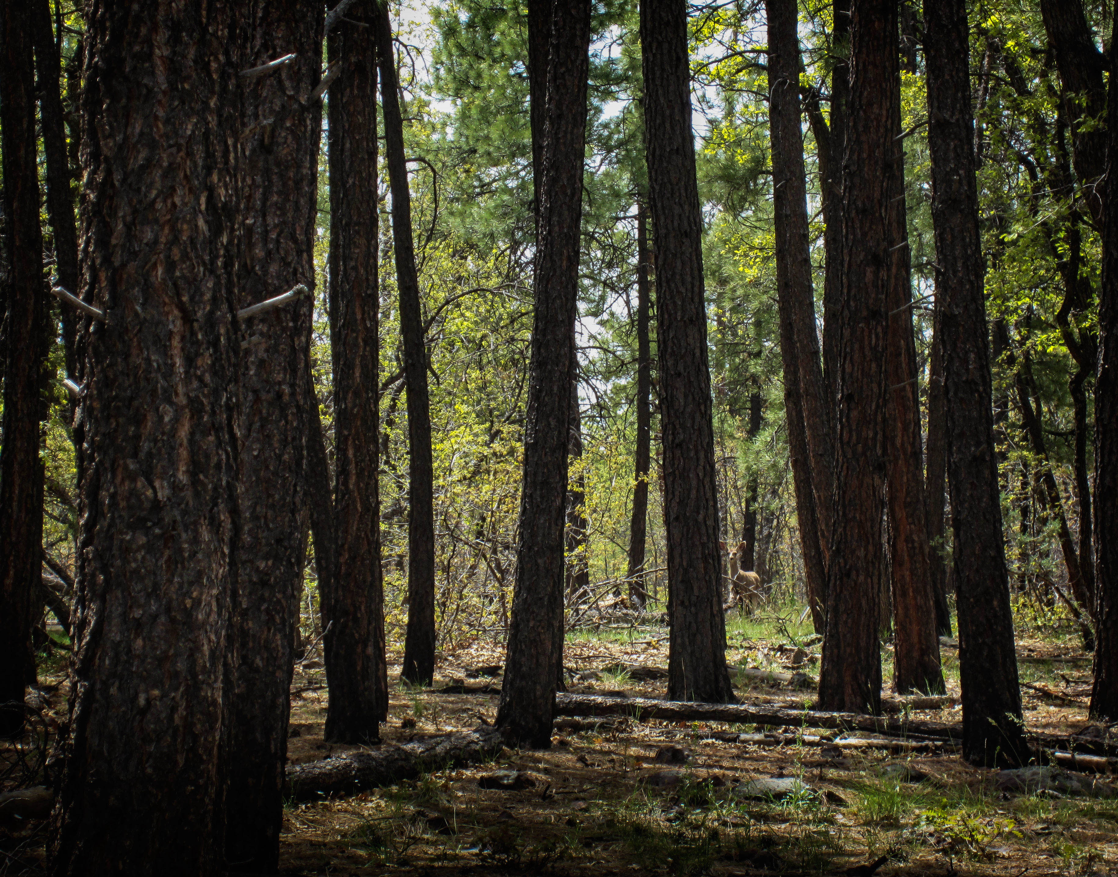
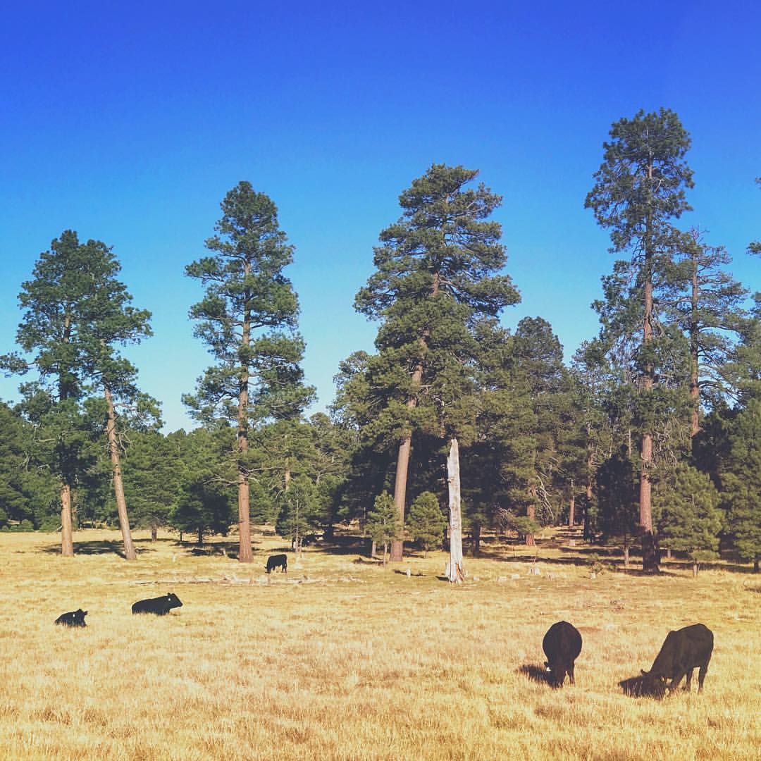
Mogollon Rim Deer

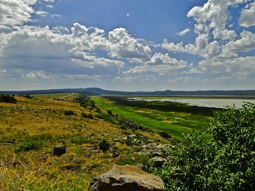
Clouds over Mormon Lake Arizona
Mormon Lake Station
Out In The Woods
The road near Mormon Lake in Arizona

Mormon Lake with the San Francisco Peaks in the distance #mormonlake #lake #northernarizona #northernaz #sanfranciscopeaks #arizona #az #flagstaffaz #flagstaff #coconinocounty #coconino

Mormon Lake is Arizona's largest natural lake, and is dry most of the year, so for it to currently hold water is kind of a big deal for those of us who are easily entertained... #mormonlake #lake #water #arizona #northernaz #flagstaffaz #flagstaff

Mormon Lake and the San Francisco Peaks #mormonlake #sanfranciscopeaks #northernaz #az #arizona #flagstaffaz #flagstaff #snow #ice #lake #mountains
3,000 Mile Drive Across The US
3,000 Mile Drive Across The US
Topographic Map of 95 Deer Trail Dr, Munds Park, AZ, USA
Find elevation by address:

Places near 95 Deer Trail Dr, Munds Park, AZ, USA:
Stoneman Lake
5228 Forest Service Rd 213
165 Ridgecrest Dr
55 Sanctuary Way
115 La Barranca Dr
25 Clearwater Cir
135 Broken Arrow Way S
85 Beaver St
150 Pinon Woods Dr
19 Cypress Pl
215 Palo Verde Cir
120 E Cortez Dr
25 Corte Banca
Village Of Oak Creek
6246 Az-179
100 Bell Rock Blvd
Bell Rock
130 Castle Rock Rd
55 Sunridge Circle
Devils Bridge
Recent Searches:
- Elevation of Côte-des-Neiges, Montreal, QC H4A 3J6, Canada
- Elevation of Bobcat Dr, Helena, MT, USA
- Elevation of Zu den Ihlowbergen, Althüttendorf, Germany
- Elevation of Badaber, Peshawar, Khyber Pakhtunkhwa, Pakistan
- Elevation of SE Heron Loop, Lincoln City, OR, USA
- Elevation of Slanický ostrov, 01 Námestovo, Slovakia
- Elevation of Spaceport America, Co Rd A, Truth or Consequences, NM, USA
- Elevation of Warwick, RI, USA
- Elevation of Fern Rd, Whitmore, CA, USA
- Elevation of 62 Abbey St, Marshfield, MA, USA