Elevation of 92- Mamalahoa Hwy, Captain Cook, HI, USA
Location: United States > Hawaii > Hawaii County > South Kona > Captain Cook >
Longitude: -155.66627
Latitude: 19.284125
Elevation: 2390m / 7841feet
Barometric Pressure: 76KPa
Elevation Map:
Satellite Map:
Related Photos:
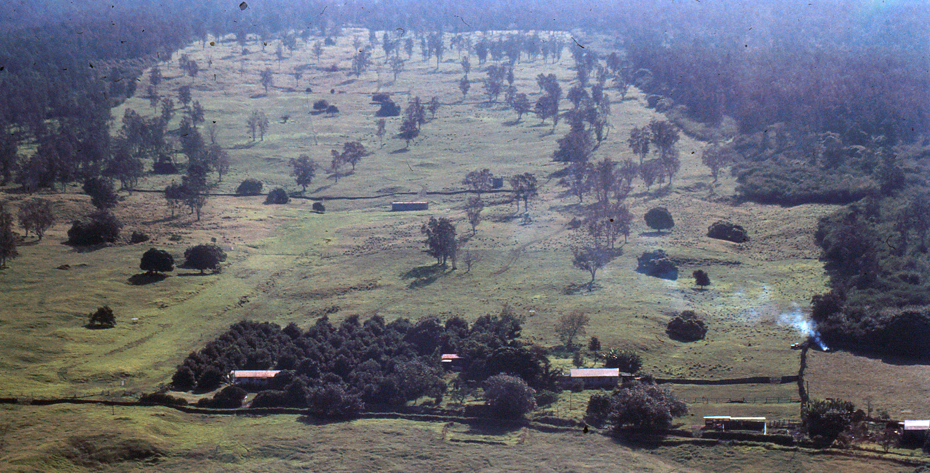
Hawaii Vacation - September 1983

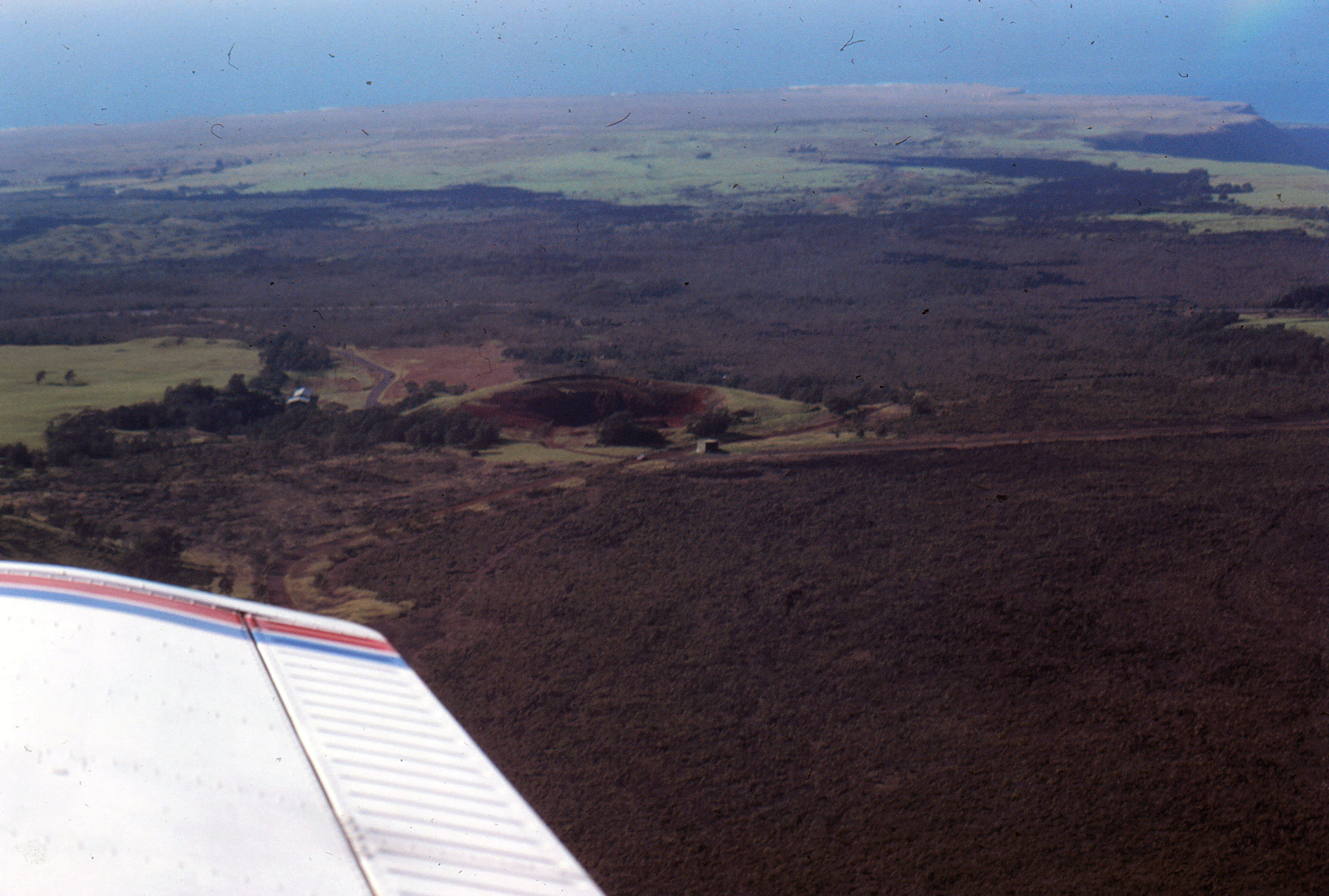
On the High Road

Acacia koa
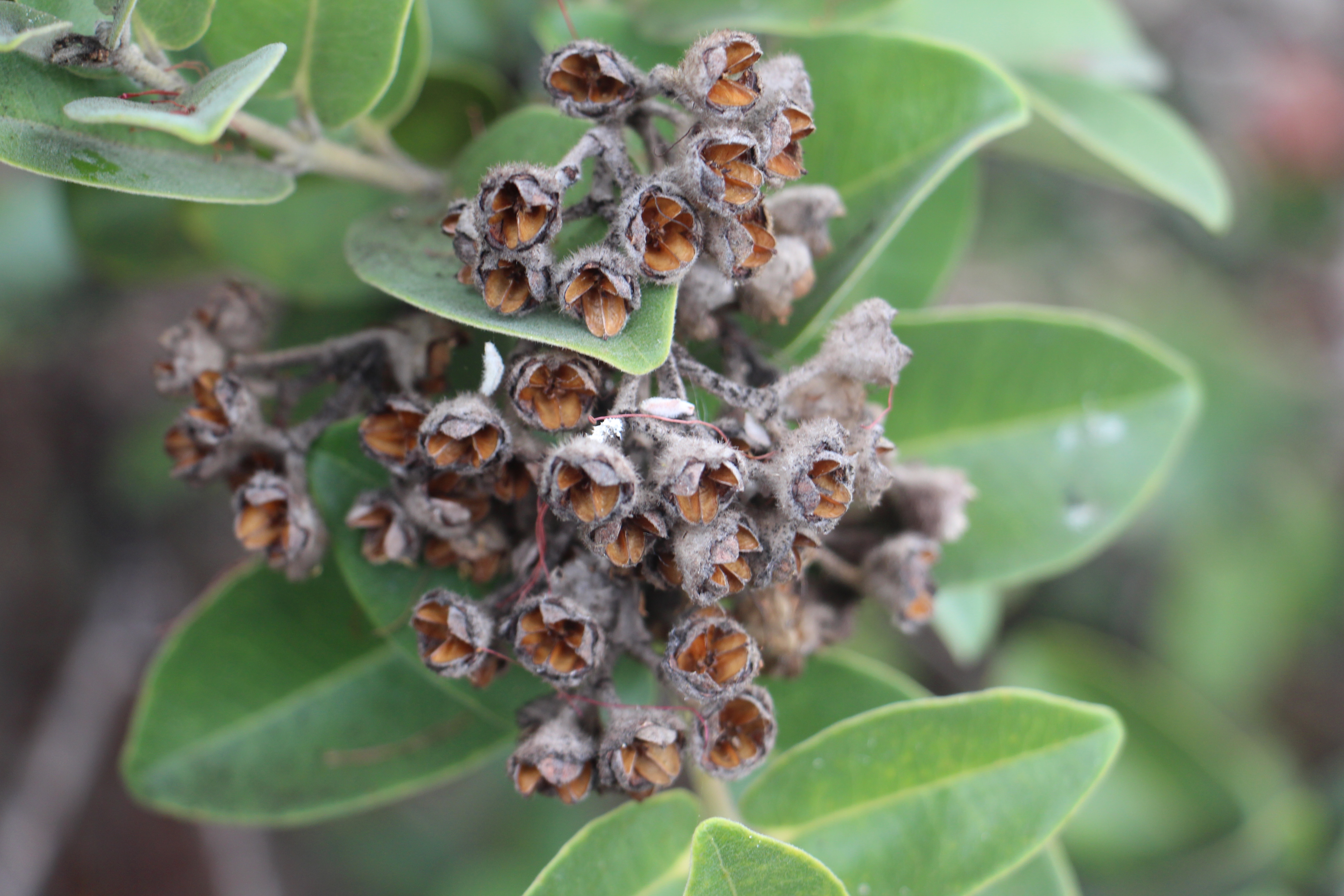
Metrodsideros polymorpha open capsules
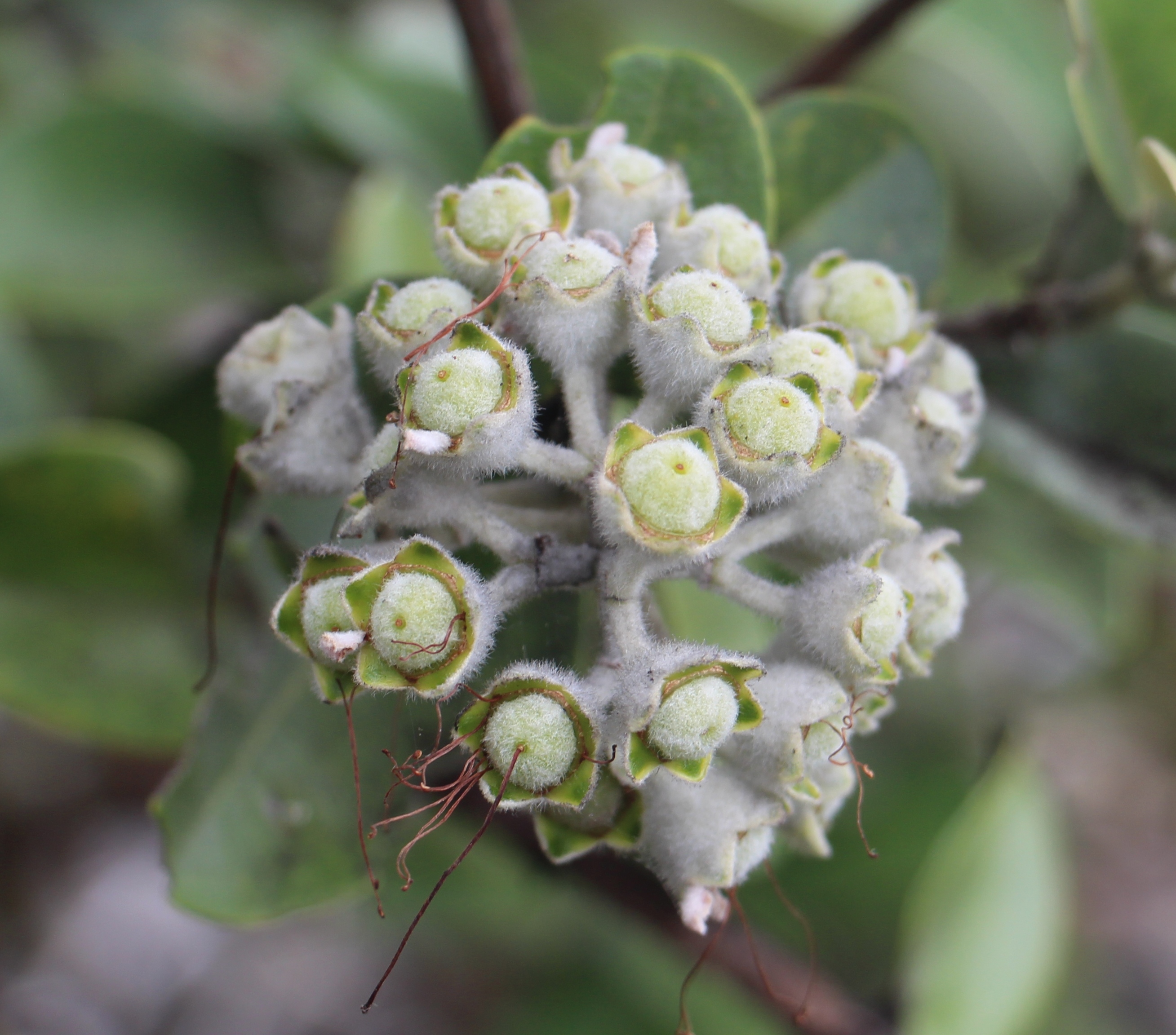
Metrodsideros polymorpha green capsules
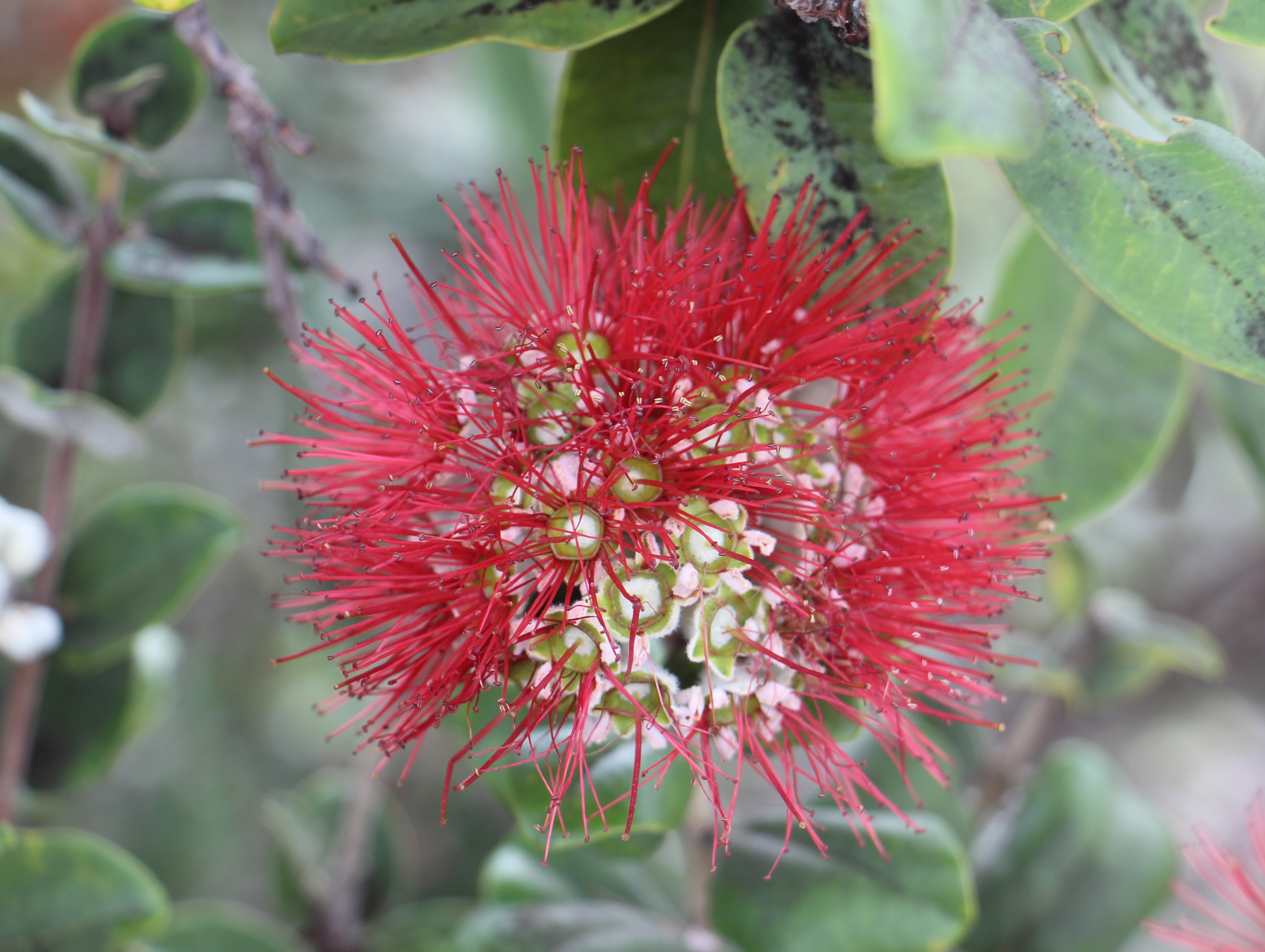
Metrodsideros polymorpha flowers
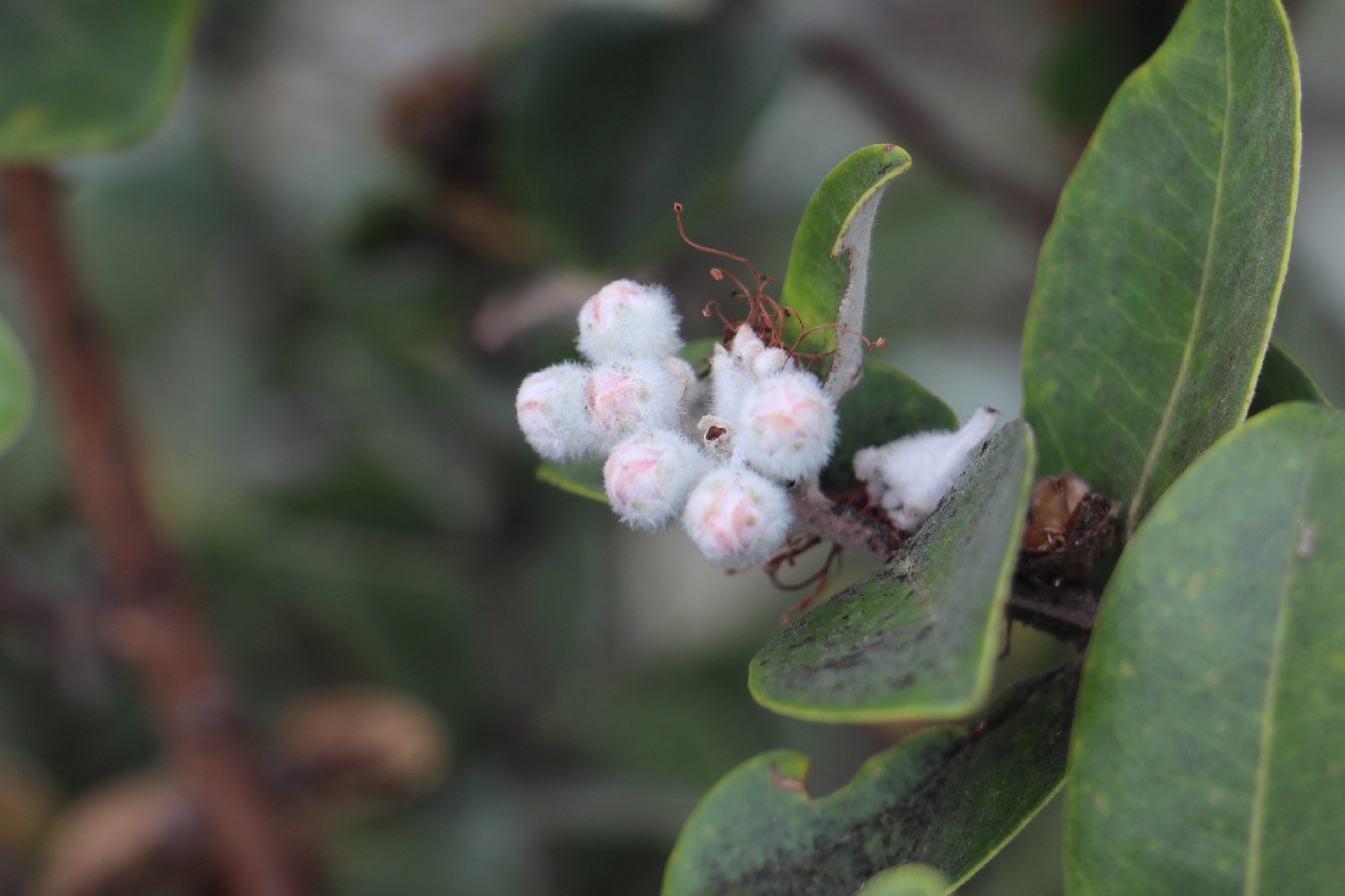
Metrodsideros polymorpha flower buds
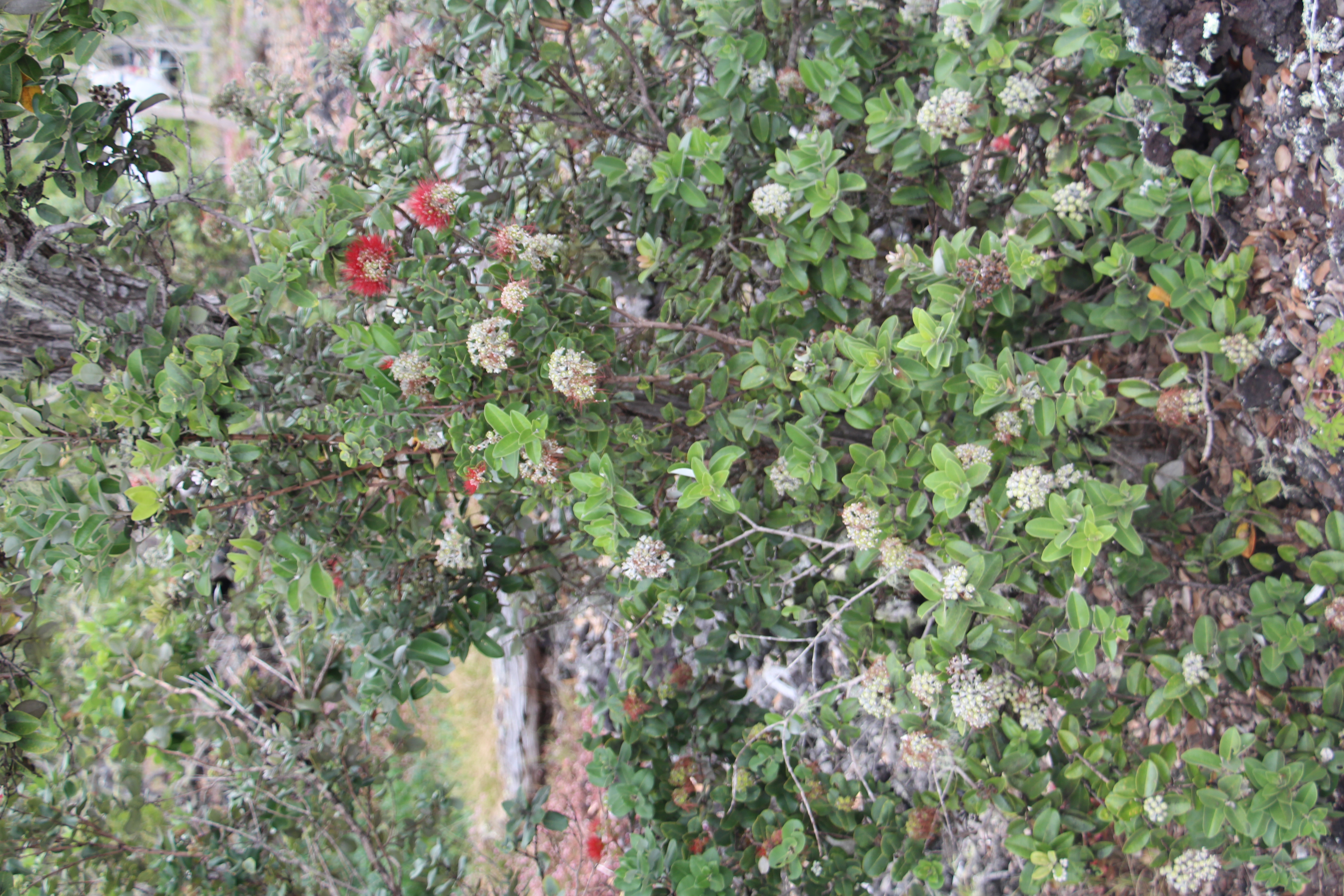
Metrodsideros polymorpha tree
Hawaii Vacation - September 1983

Painted Church

Hauling logs
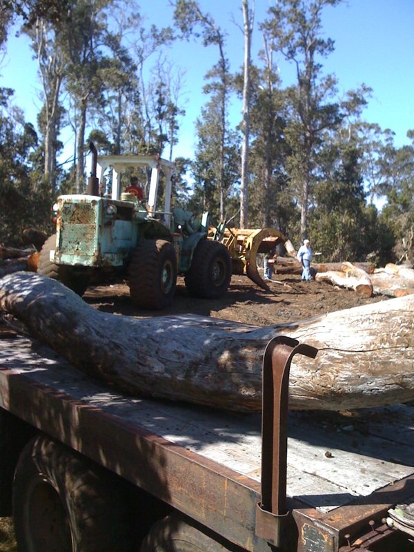
Loading up the wood
Topographic Map of 92- Mamalahoa Hwy, Captain Cook, HI, USA
Find elevation by address:

Places near 92- Mamalahoa Hwy, Captain Cook, HI, USA:
South Kona
92-2889 Kailua Blvd
Lono Lane
92-2933 Outrigger Dr
92-2930 Island Blvd
Palm Parkway & Pikake Lane
Palm Parkway & Pikake Lane
Palm Parkway & Pikake Lane
92-8835 Pineapple Pkwy
Ka'u
92-8868 Plumeria Ln #23
92-8868 Plumeria Ln #23
92-8868 Plumeria Ln #23
92-8868 Plumeria Ln #23
92-8868 Plumeria Ln #23
92-2703 Lei Pkwy
Sea View Drive
92-8817 Plumeria Ln
22 Plumeria Ln
22 Plumeria Ln
Recent Searches:
- Elevation of Congressional Dr, Stevensville, MD, USA
- Elevation of Bellview Rd, McLean, VA, USA
- Elevation of Stage Island Rd, Chatham, MA, USA
- Elevation of Shibuya Scramble Crossing, 21 Udagawacho, Shibuya City, Tokyo -, Japan
- Elevation of Jadagoniai, Kaunas District Municipality, Lithuania
- Elevation of Pagonija rock, Kranto 7-oji g. 8"N, Kaunas, Lithuania
- Elevation of Co Rd 87, Jamestown, CO, USA
- Elevation of Tenjo, Cundinamarca, Colombia
- Elevation of Côte-des-Neiges, Montreal, QC H4A 3J6, Canada
- Elevation of Bobcat Dr, Helena, MT, USA