Elevation of 91 Pine Ranch Rd, Lamy, NM, USA
Location: United States > New Mexico > Santa Fe County > Lamy >
Longitude: -105.93608
Latitude: 35.259757
Elevation: 2028m / 6654feet
Barometric Pressure: 79KPa
Elevation Map:
Satellite Map:
Related Photos:

Grey Catbird

Shine a light...
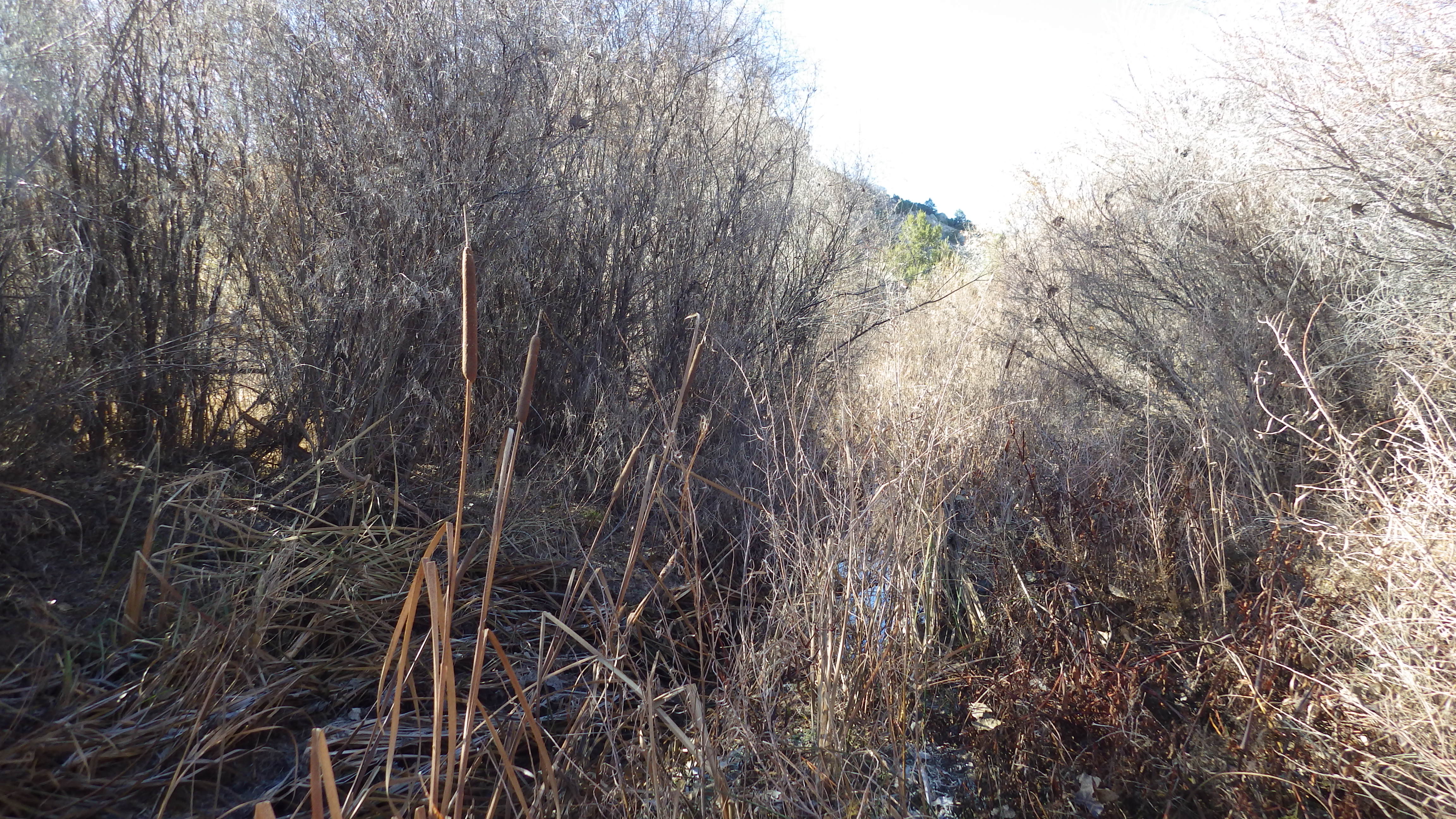
IMGP0295, SC3, facing 140, view of drainage bottom
SWC Roll 1 (3/12)

CAtripDay5 (9)

CAtripDay5 (8)

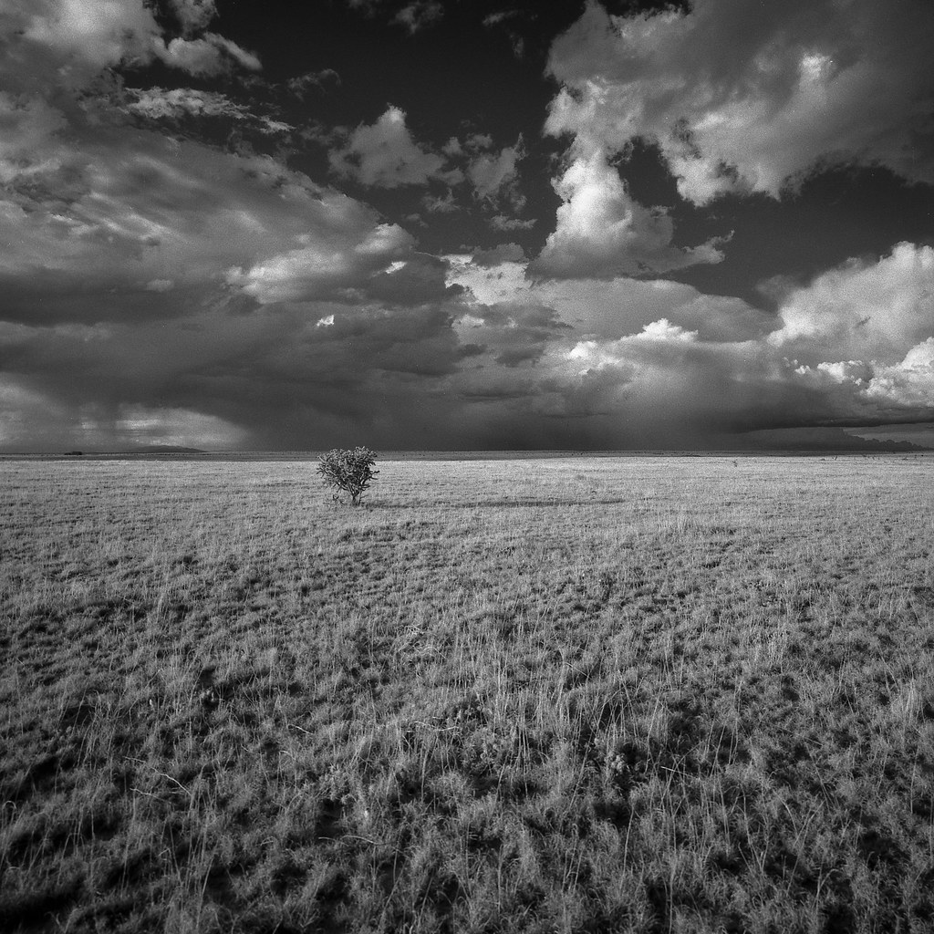
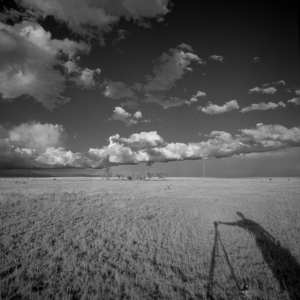
New Mexico
SWC Roll 1 (4/12)

Abandoned - Stanley, NM

New Mexico
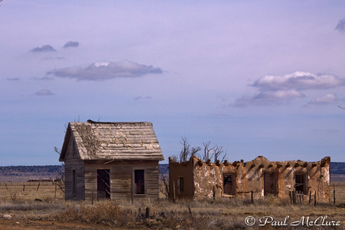
Stanley NM

Old Adobe 11

Haunted Adobe

Cliffs (not in Dover)

butte and clouds

herd o' pronghorn.

Strata & Sky

16.11_290 W

Clouds and Plains
Topographic Map of 91 Pine Ranch Rd, Lamy, NM, USA
Find elevation by address:

Places near 91 Pine Ranch Rd, Lamy, NM, USA:
24 Simmons Rd
Santa Fe County
5 Vía La Puente, Lamy, NM, USA
Galisteo
28 Camino De Los Cabreros
San Lazaro Pubels Ruins
Old Cash Ranch Road
Simmons Rd, Edgewood, NM, USA
Trestle Creek Road
9 Trestle Creek Rd
33 Rainbows End
30 Blue Agave
263 Co Rd 42
542 Gold Mine Rd
65 Grenfell Ranch Rd
396 Gold Mine Rd
341 Gold Mine Rd
45 Grenfell Ranch Rd
70 Don Jose Loop
78 Vista Del Oro
Recent Searches:
- Elevation of st Ave SE, Lisbon, ND, USA
- Elevation of Steamboat Island Road Northwest, Olympia, WA, USA
- Elevation of Kootenai Trail Rd, Bonners Ferry, ID, USA
- Elevation of Hickory Blvd, Bonita Springs, FL, USA
- Elevation of Lalagbene, Bayelsa, Nigeria
- Elevation of Ogbosuware Health Centre, 2WWJ+4PJ, Lalagbene, Bayelsa, Nigeria
- Elevation of Duckhorn Ct, Las Vegas, NV, USA
- Elevation of Garretts Run Rd, Ford City, PA, USA
- Elevation of N WI-55, Freedom, WI, USA
- Elevation map of Hadiya, Ethiopia