Elevation of 90 Lillie Franklin Rd, Marshall, NC, USA
Location: United States > North Carolina > Madison County > 1, North Marshall > Marshall >
Longitude: -82.716241
Latitude: 35.920556
Elevation: 598m / 1962feet
Barometric Pressure: 94KPa
Elevation Map:
Satellite Map:
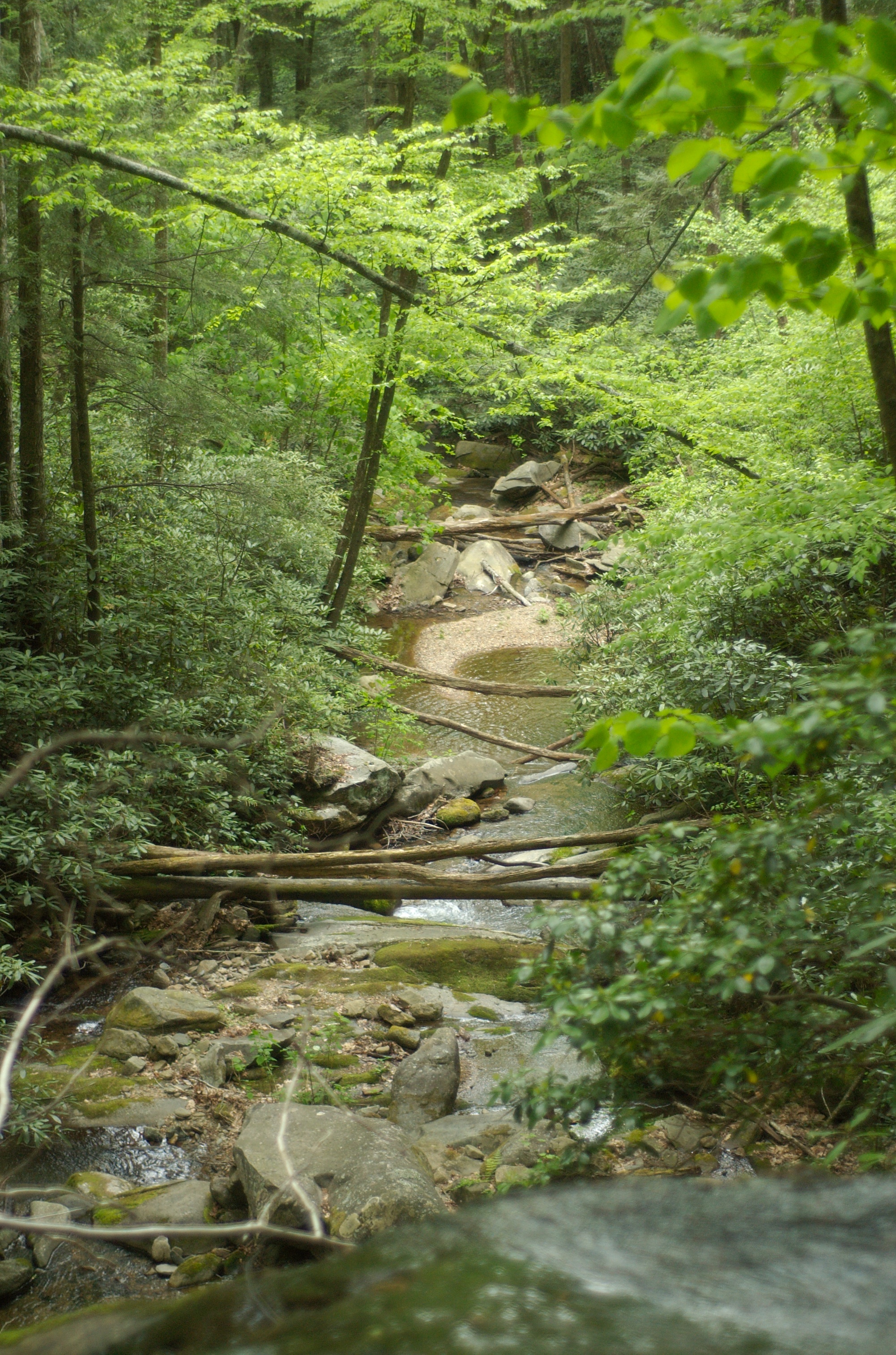
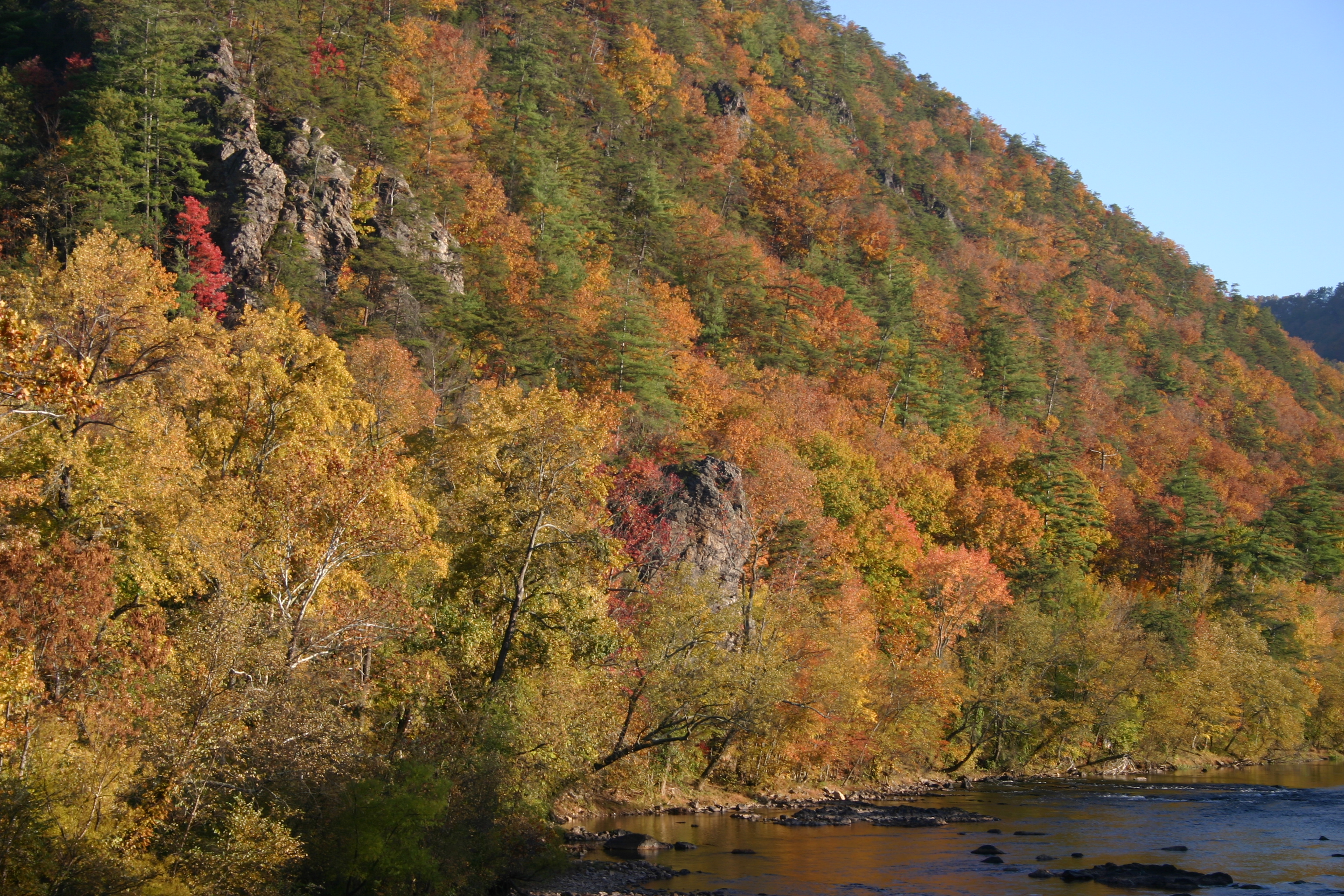
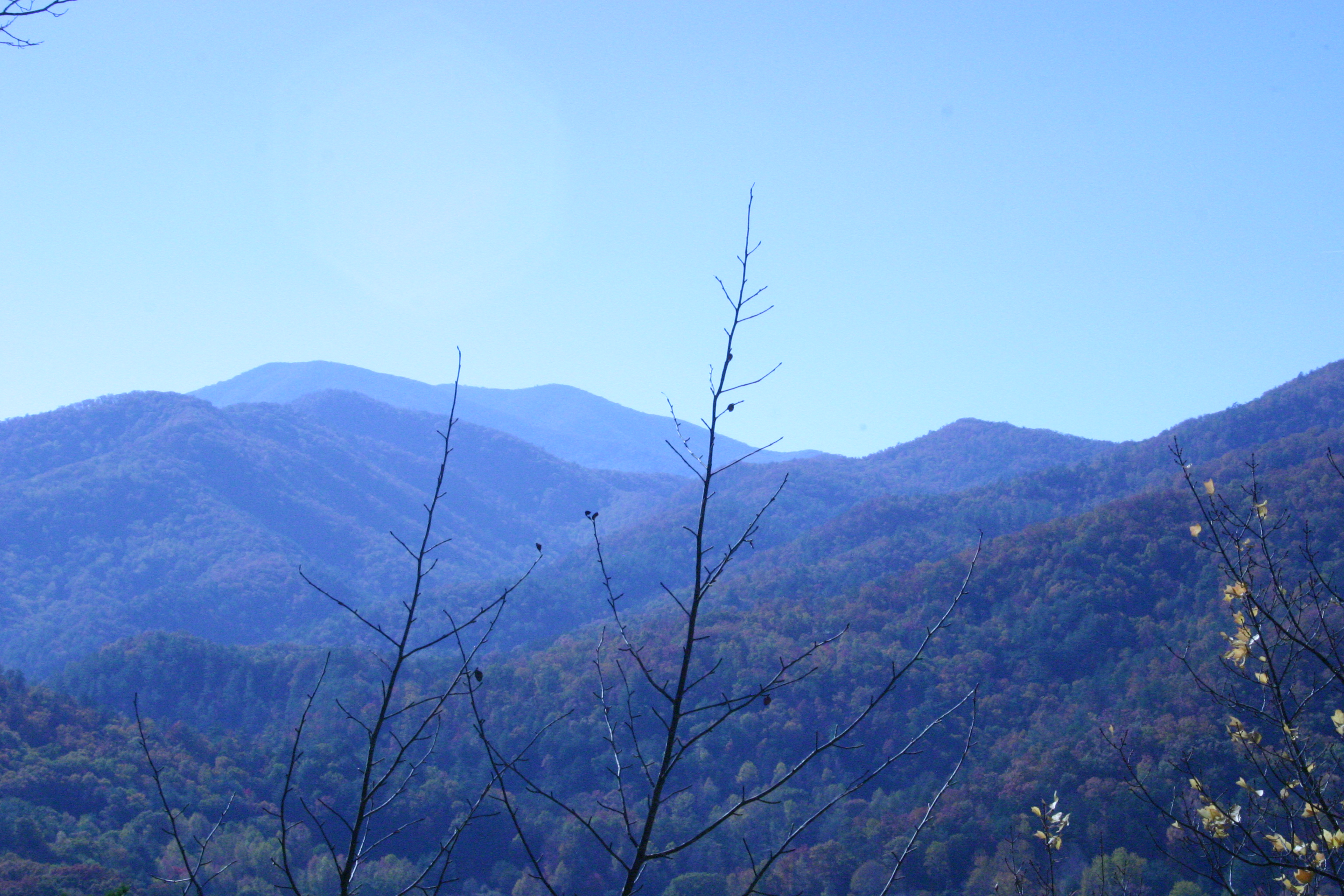
Related Photos:
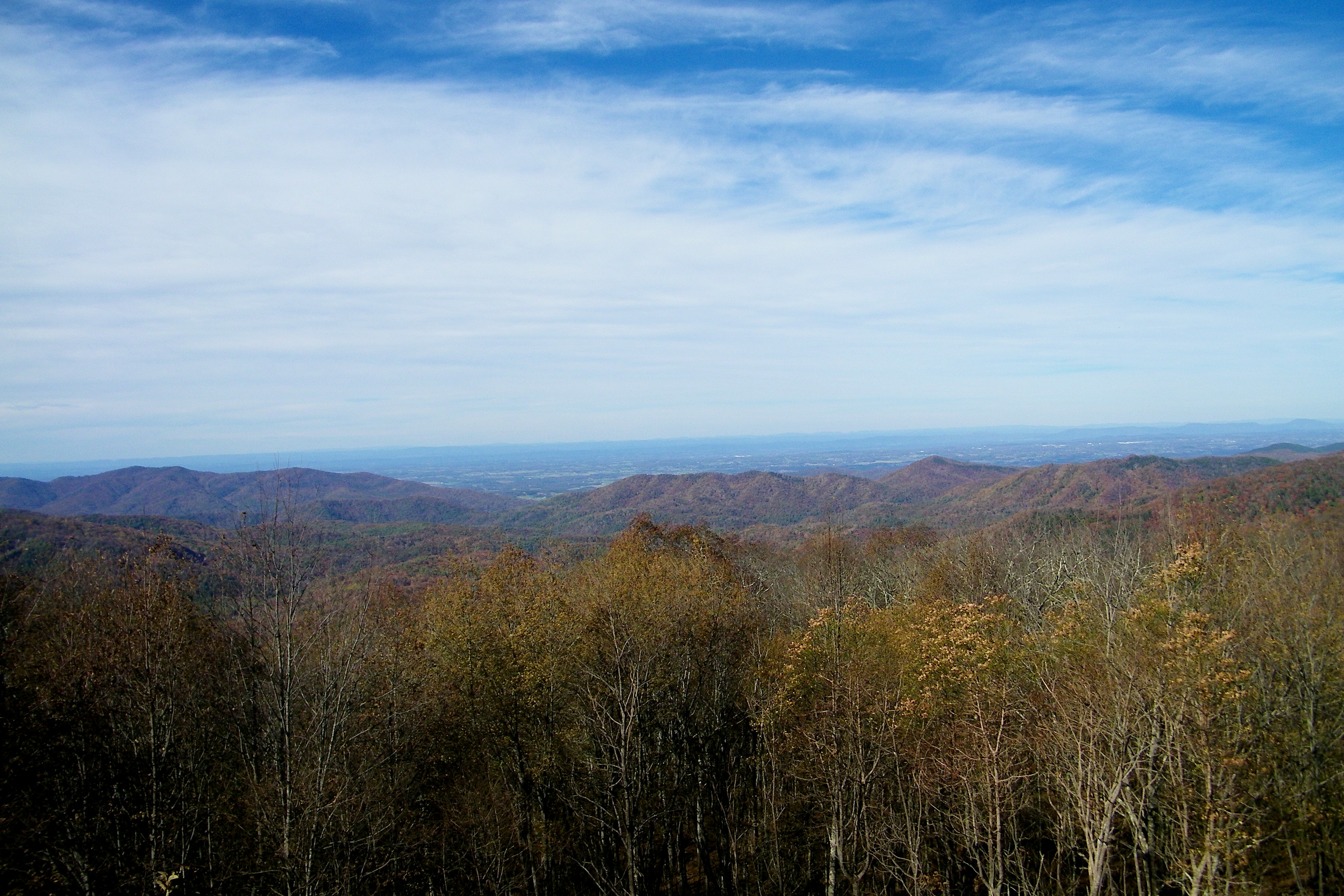
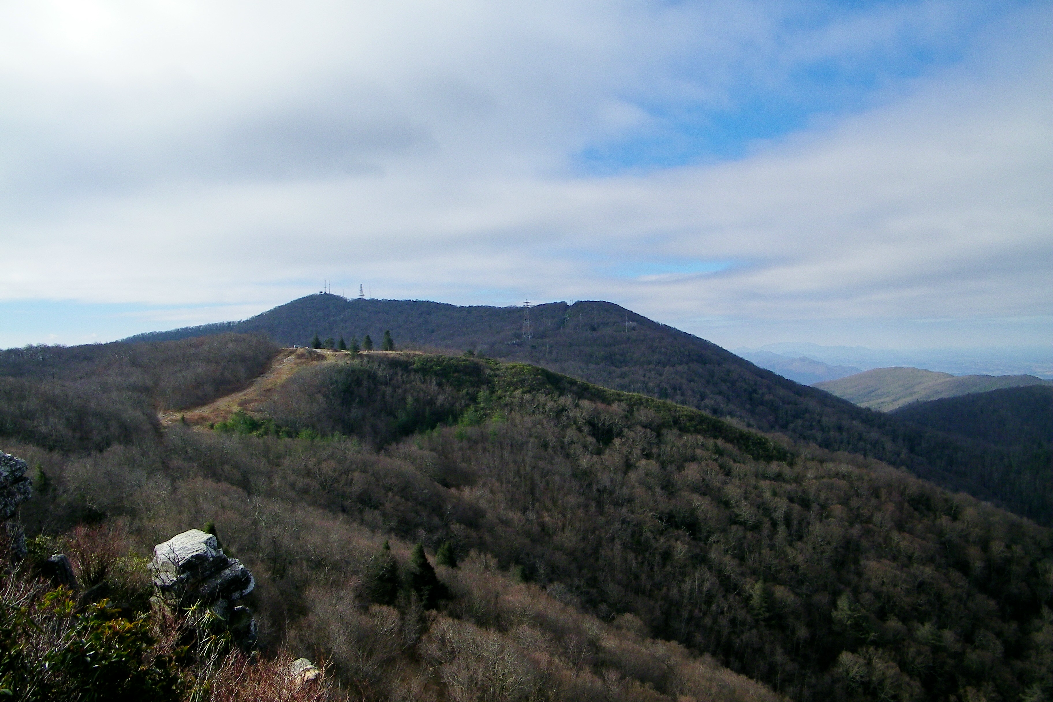
Rich Mountain Fire Tower
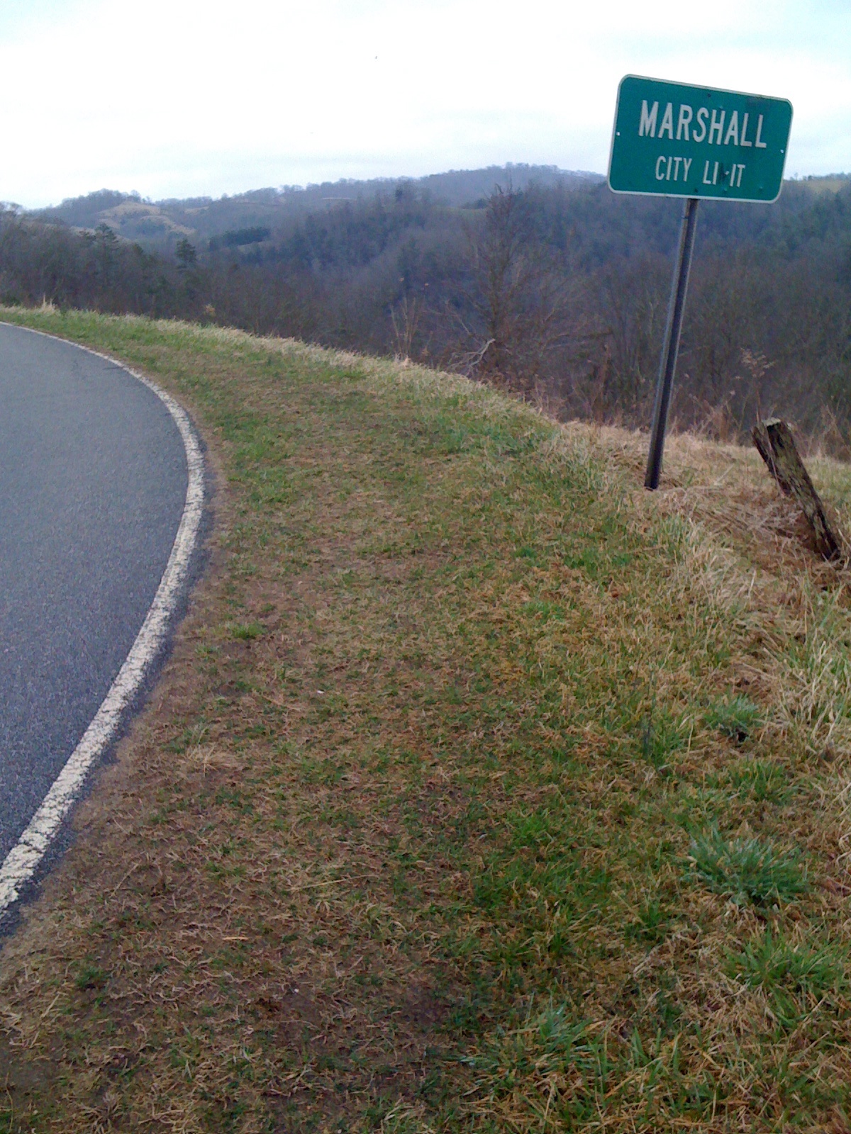
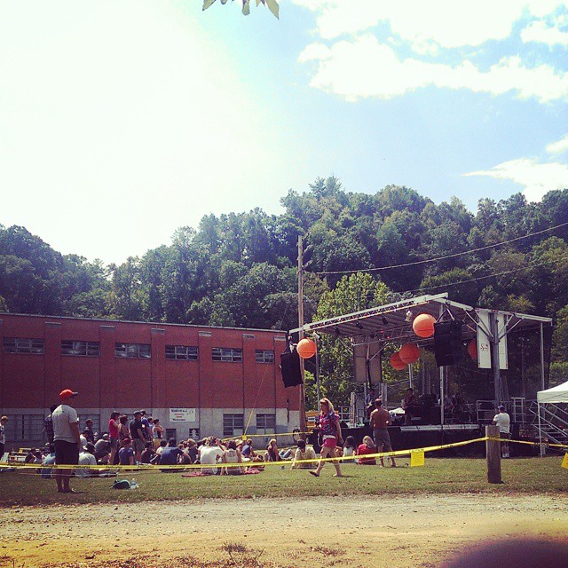
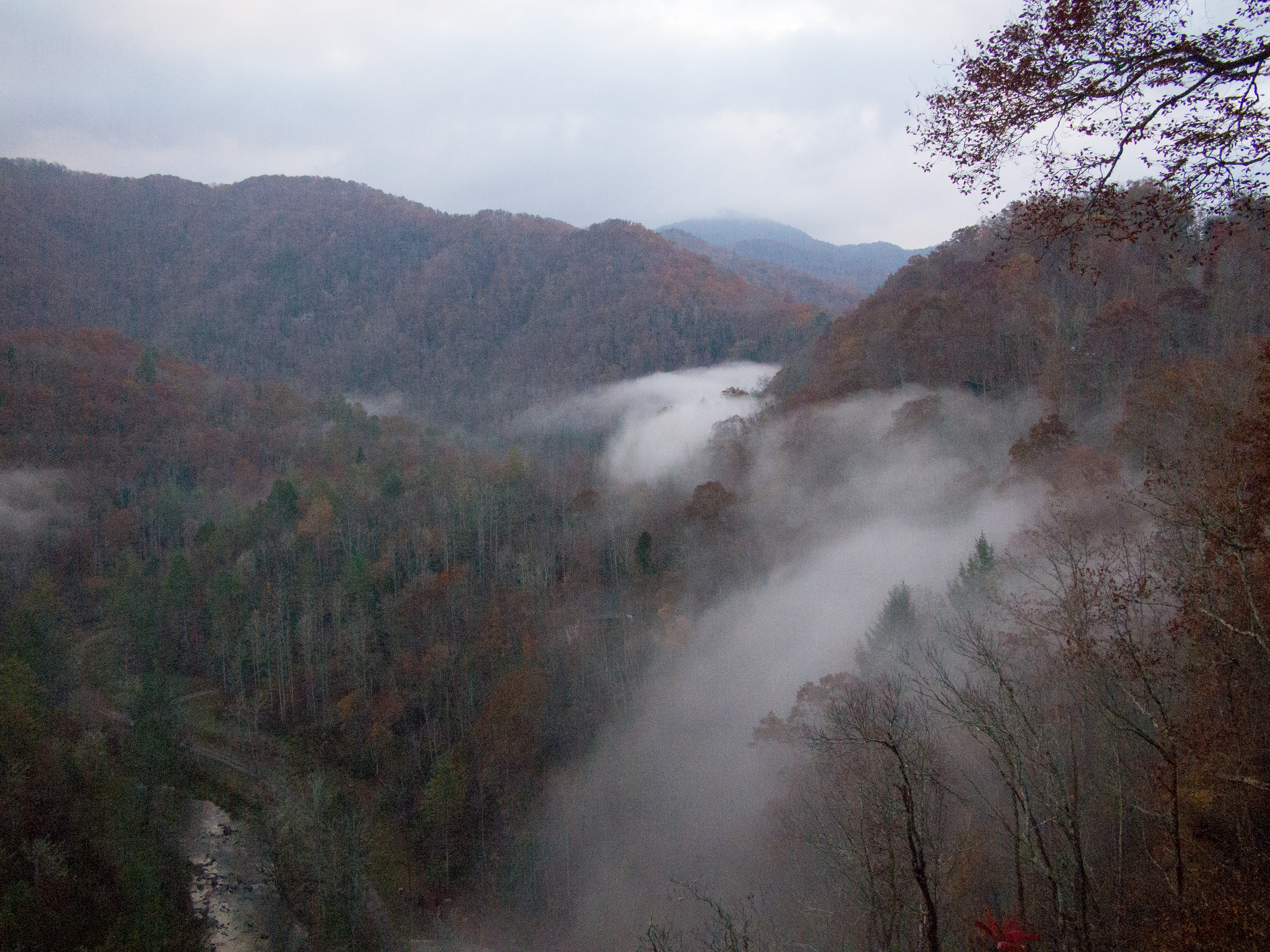
Marshall, NC, Contrasted View
Rich Mountain Fire Tower

Rich Mountain Fire Tower

Rich Mountain Fire Tower
Rich Mountain Fire Tower
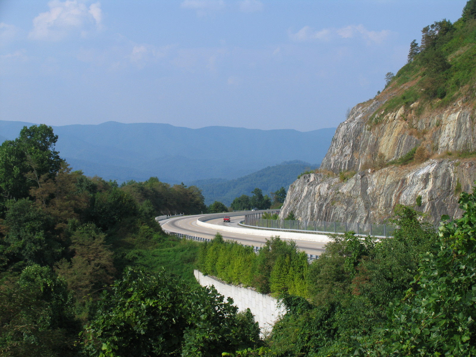
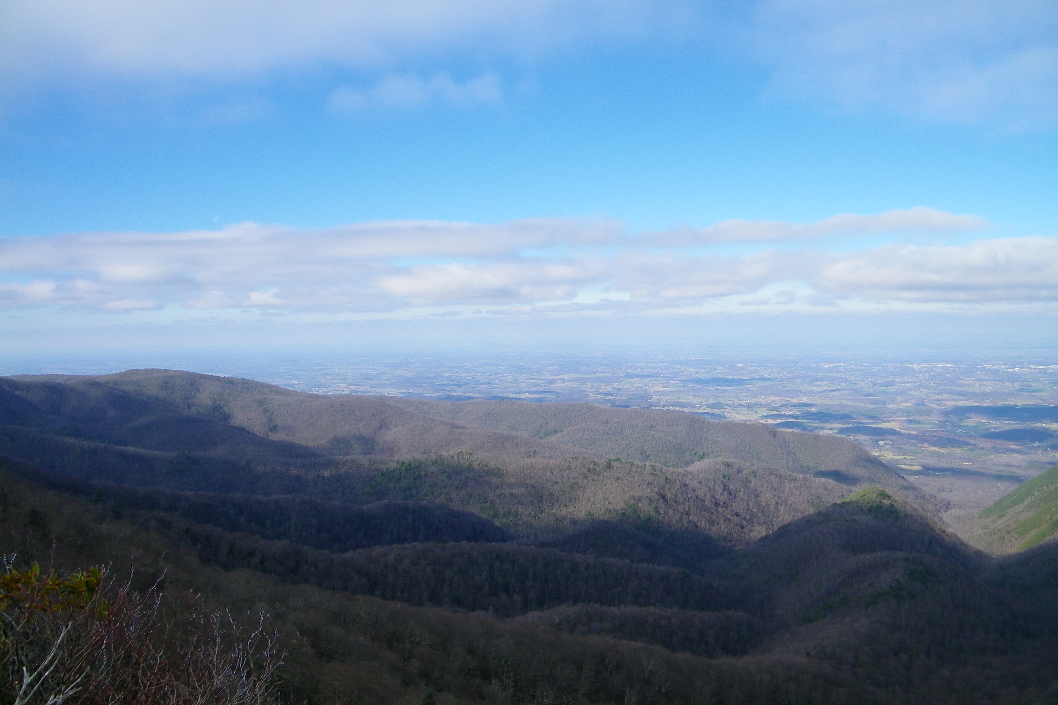
I-26 West view
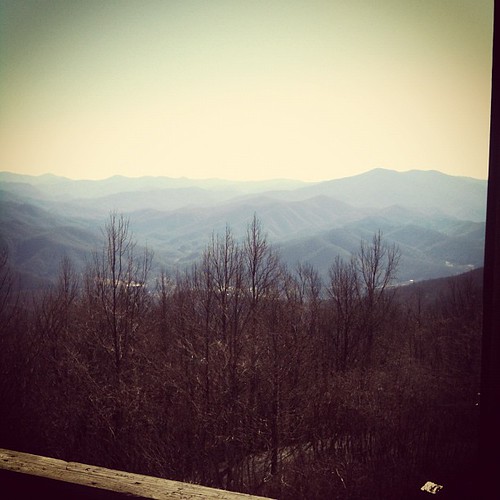
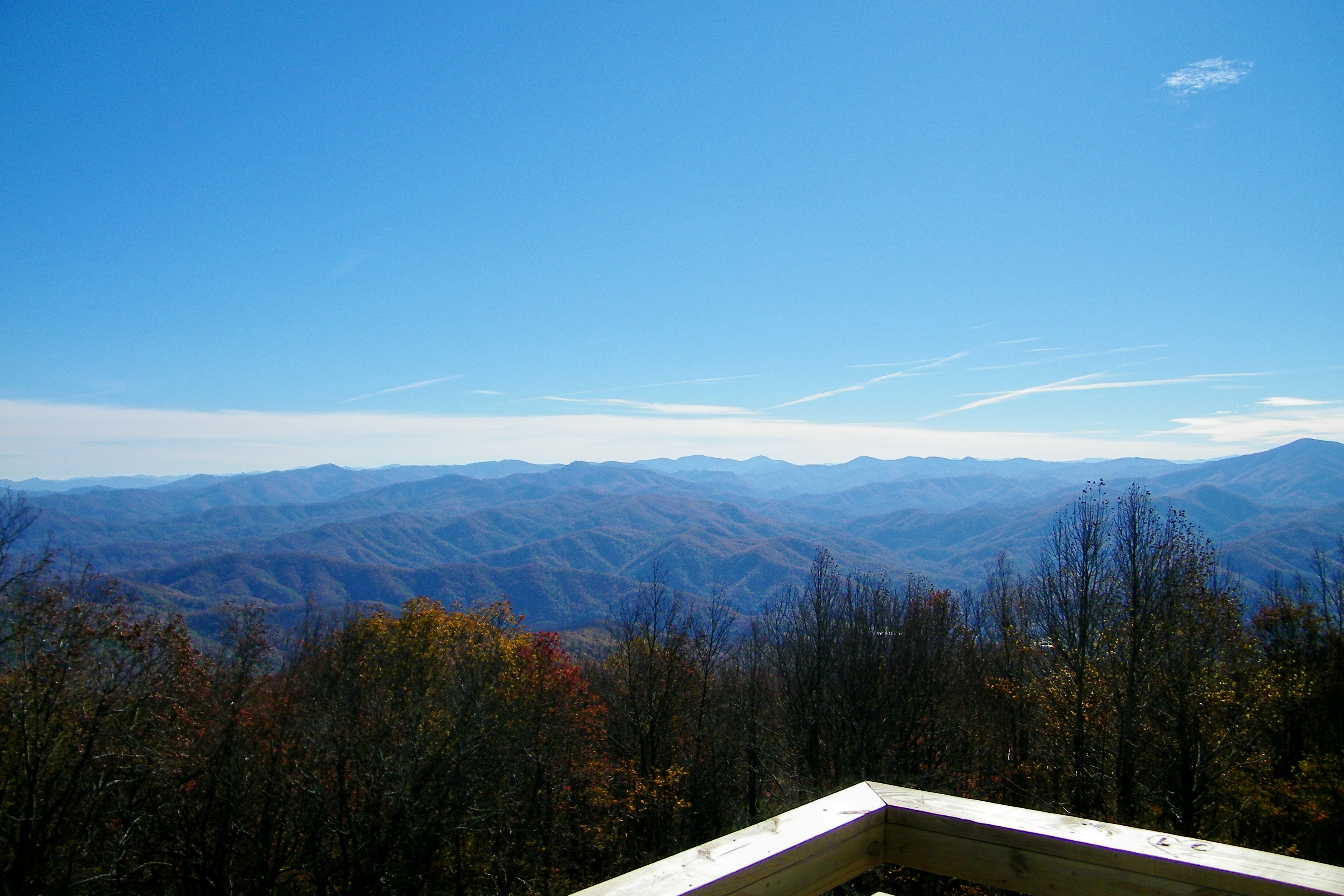
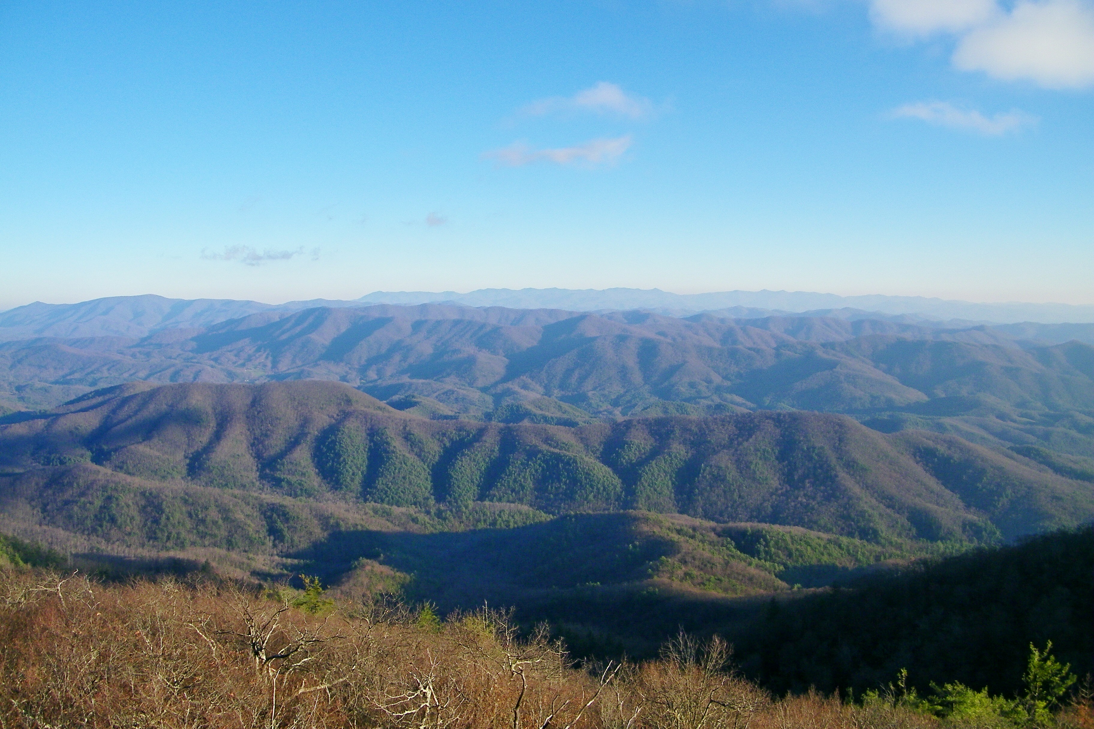
View from the Rich Mountain lookout tower
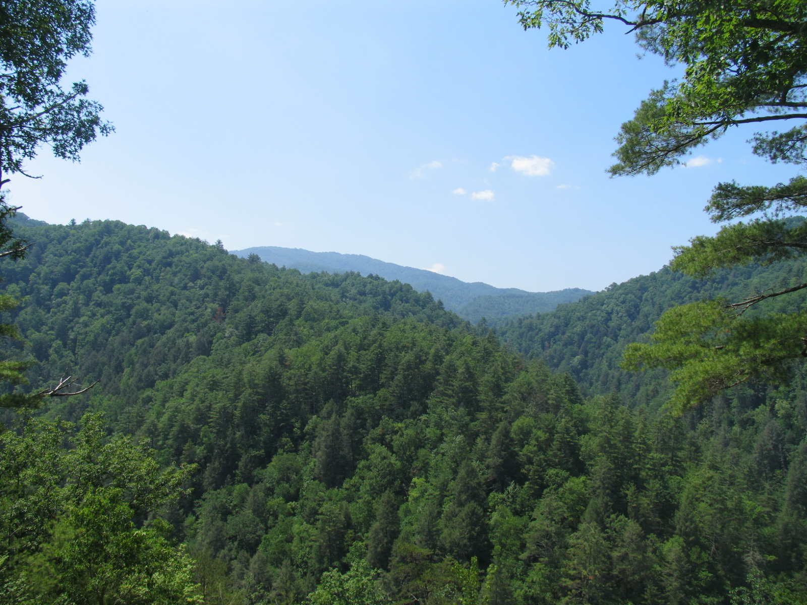
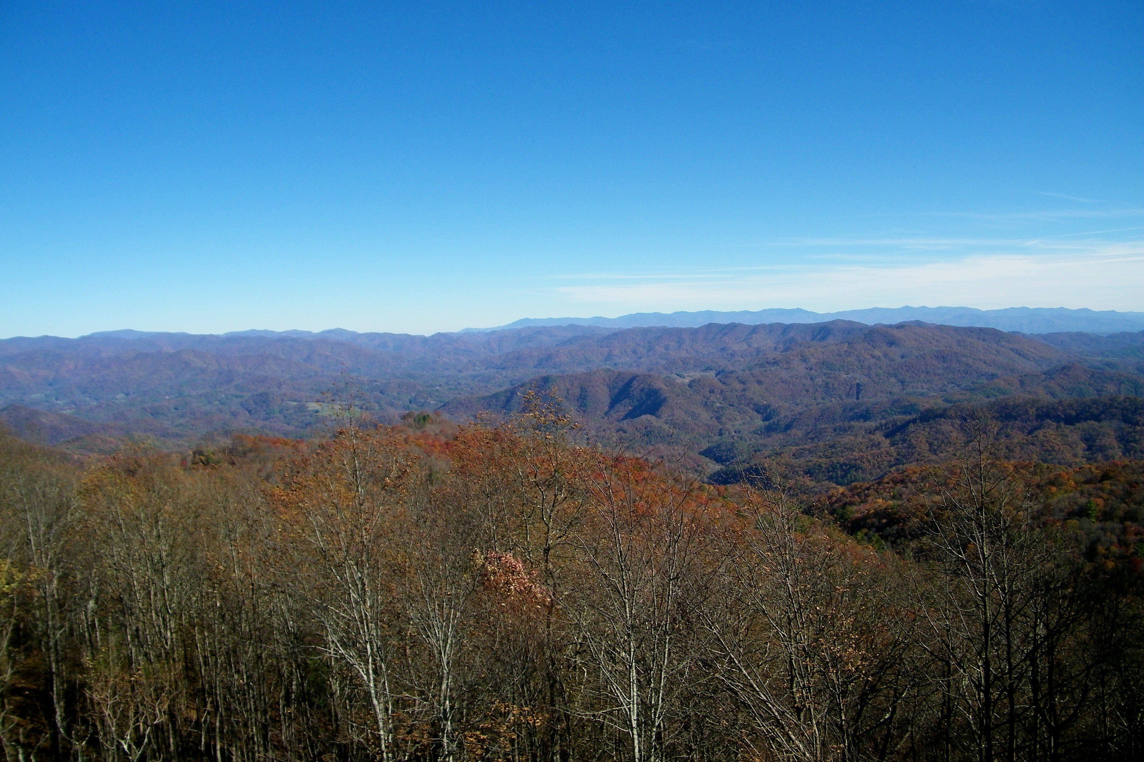
NC 209 Scenic View
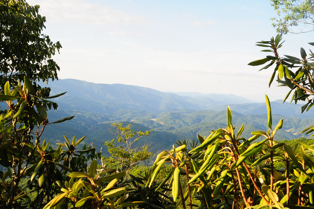
View from W4T/SU-024 - High Rock
William Tyler at Transfigurations II (the view from the closest shady spot)
Camp Creek Bald Lookout Tower
View of W4C/CM-110 Rich Mtn

Blackstack Cliffs on Little Firescald Knob

View of W4C/CM-110 Rich Mtn
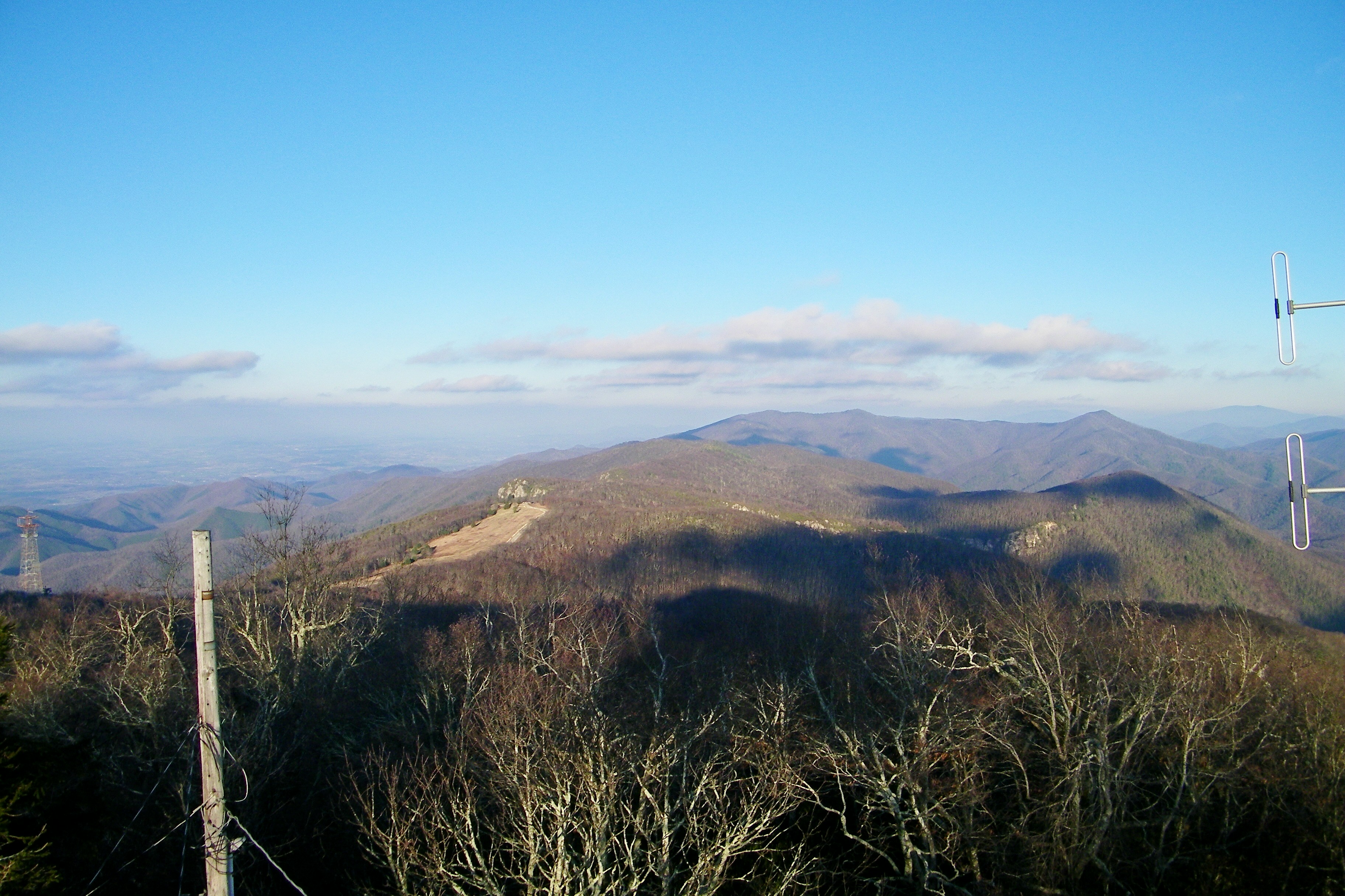
Camp Creek Bald Lookout Tower

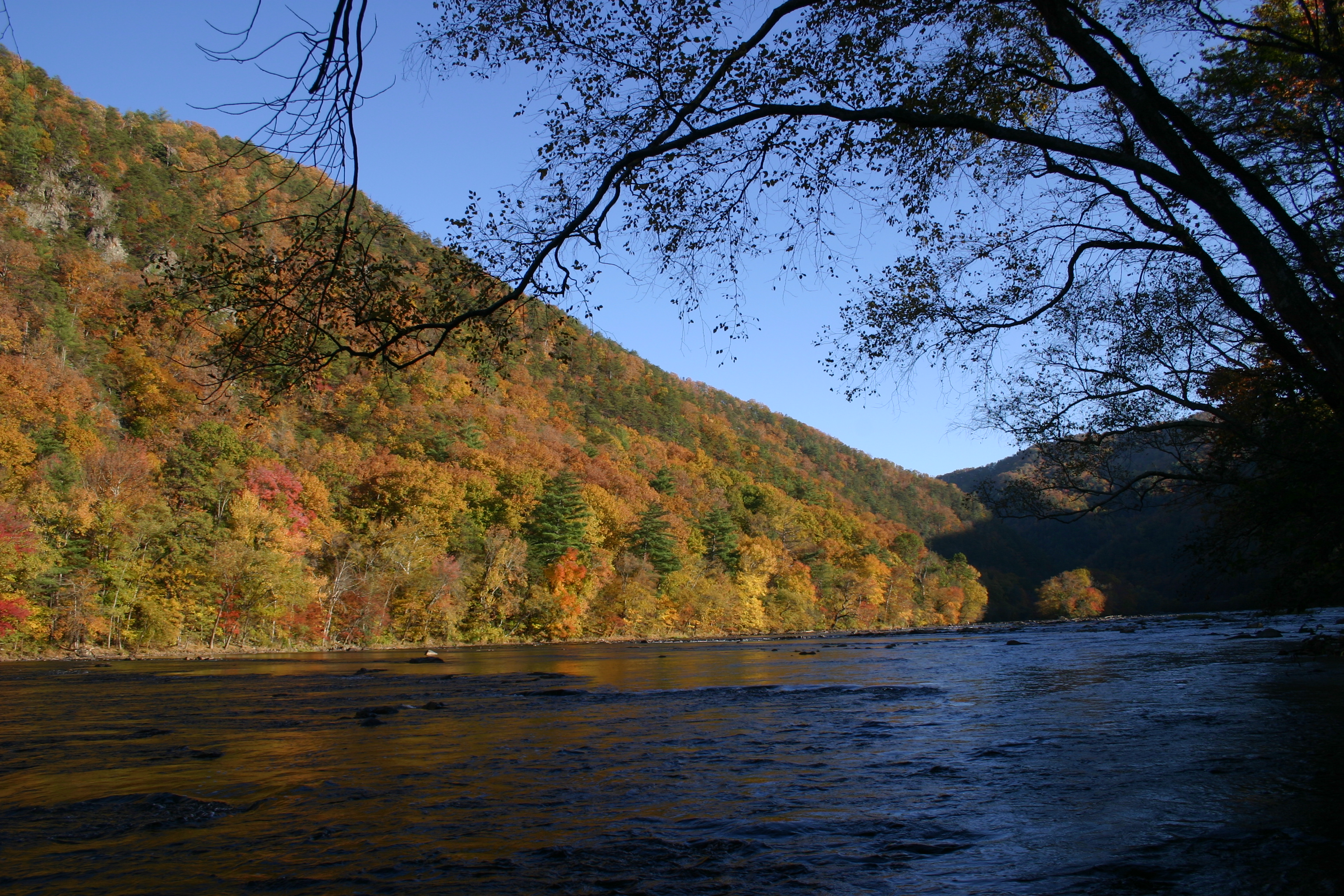
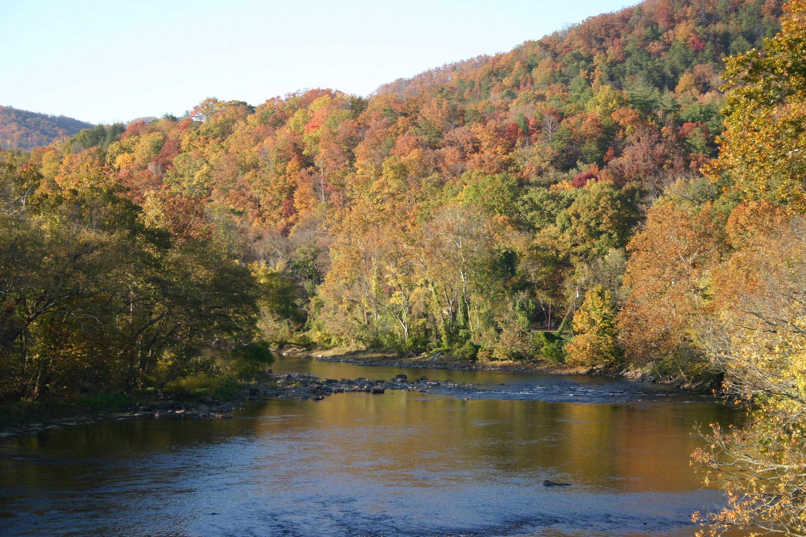
French Broad, Marshall NC

2009-06-20 19:13:45 -0400
Blackstack Cliffs on Little Firescald Knob
Big Firescald Knob

View from W4C/CM-028 - Camp Creek Bald
Fence contraption version 1

Cone Flowers :: Original Art Painting

Photo Stream-684
Photo Stream-682
DSC_0056.jpg
DSC_0055.jpg

Hot Springs, NC
Photo Stream-693
JFRM-2017-04-7044-Pano.jpg

Abandonded Forest Service Road in IR

western north carolina #sky #clouds #appalachian #mountains #landscape

Hot Srings Oct 08 296
DSC_0036.jpg
DSC_0040.jpg
Hot Srings Oct 08 240
Hot Springs Oct 08 197
Hot Srings Oct 08 228
20131103-PB034447
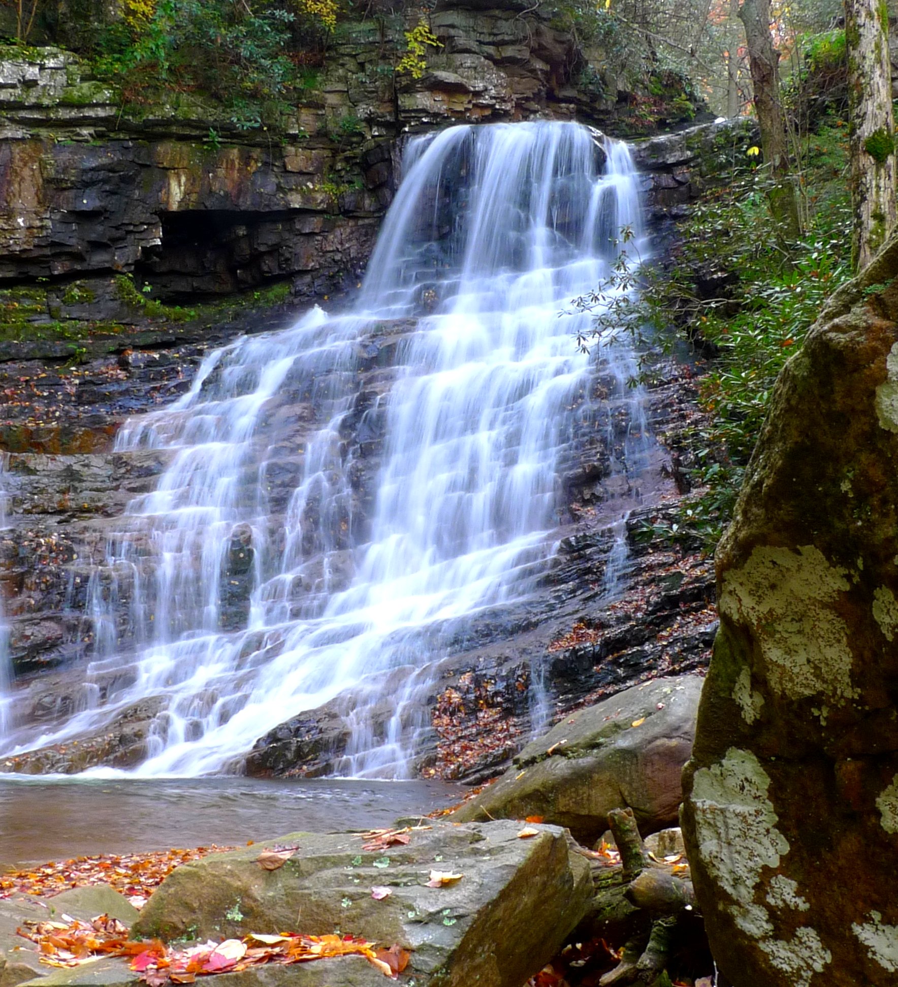
Margarette Falls
Hot Srings Oct 08 257
Topographic Map of 90 Lillie Franklin Rd, Marshall, NC, USA
Find elevation by address:

Places near 90 Lillie Franklin Rd, Marshall, NC, USA:
1545 Rebel Ridge Rd
1545 Rebel Ridge Rd
2249 Revere Rd
3619 Lonesome Mountain Rd
847 Bobby Gosnell Rd
Sunnyside Drive
Bobby Gosnell Road
Revere
Revere Road
Revere Road
Chandler Cove Road
11, Revere Rice Cove
3369 Revere Rd
Chandler Cove Rd, Marshall, NC, USA
Revere-rice Cove Community Development
611 Coppersnake Holler Rd
Big Laurel Road
1804 Big Laurel Rd
1804 Big Laurel Rd
1804 Big Laurel Rd
Recent Searches:
- Elevation of Congressional Dr, Stevensville, MD, USA
- Elevation of Bellview Rd, McLean, VA, USA
- Elevation of Stage Island Rd, Chatham, MA, USA
- Elevation of Shibuya Scramble Crossing, 21 Udagawacho, Shibuya City, Tokyo -, Japan
- Elevation of Jadagoniai, Kaunas District Municipality, Lithuania
- Elevation of Pagonija rock, Kranto 7-oji g. 8"N, Kaunas, Lithuania
- Elevation of Co Rd 87, Jamestown, CO, USA
- Elevation of Tenjo, Cundinamarca, Colombia
- Elevation of Côte-des-Neiges, Montreal, QC H4A 3J6, Canada
- Elevation of Bobcat Dr, Helena, MT, USA