Elevation of 8th St, Lake Arthur, NM, USA
Location: United States > New Mexico > Chaves County > Lake Arthur >
Longitude: -104.36446
Latitude: 33.0012321
Elevation: 1033m / 3389feet
Barometric Pressure: 90KPa
Elevation Map:
Satellite Map:
Related Photos:
Open
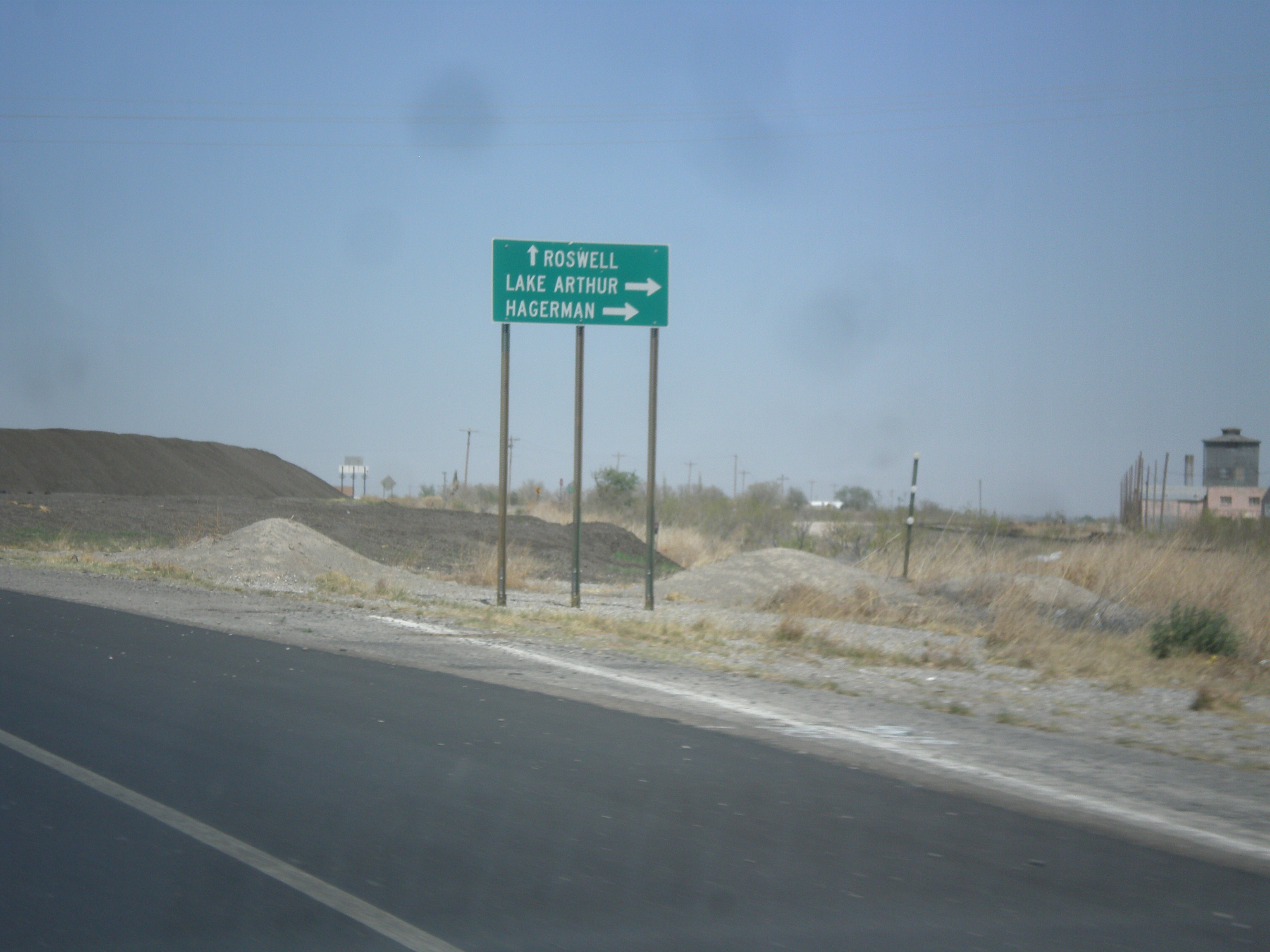
Rosewell New Mexico
susuki rat rod. Work in progress (7)
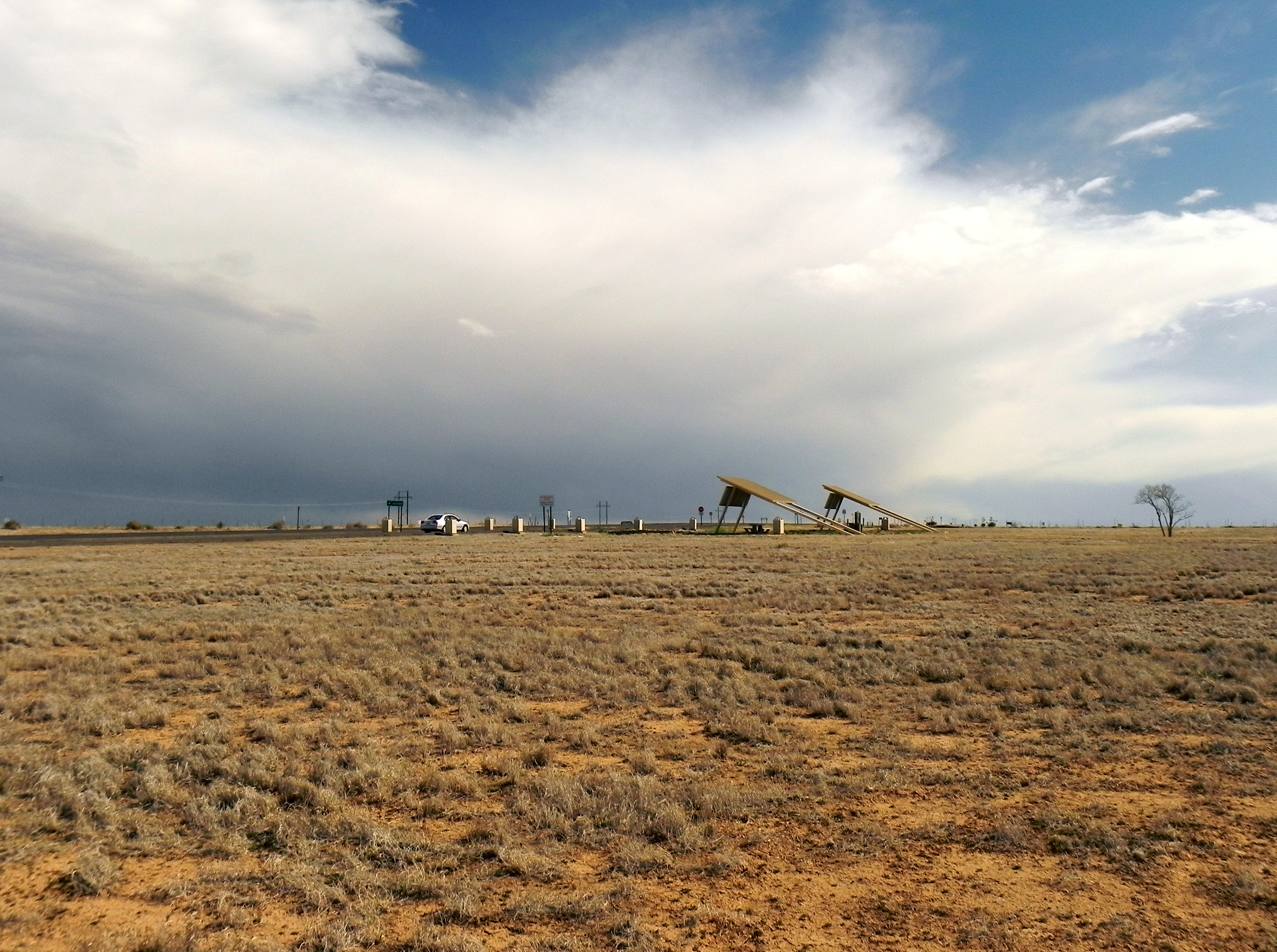
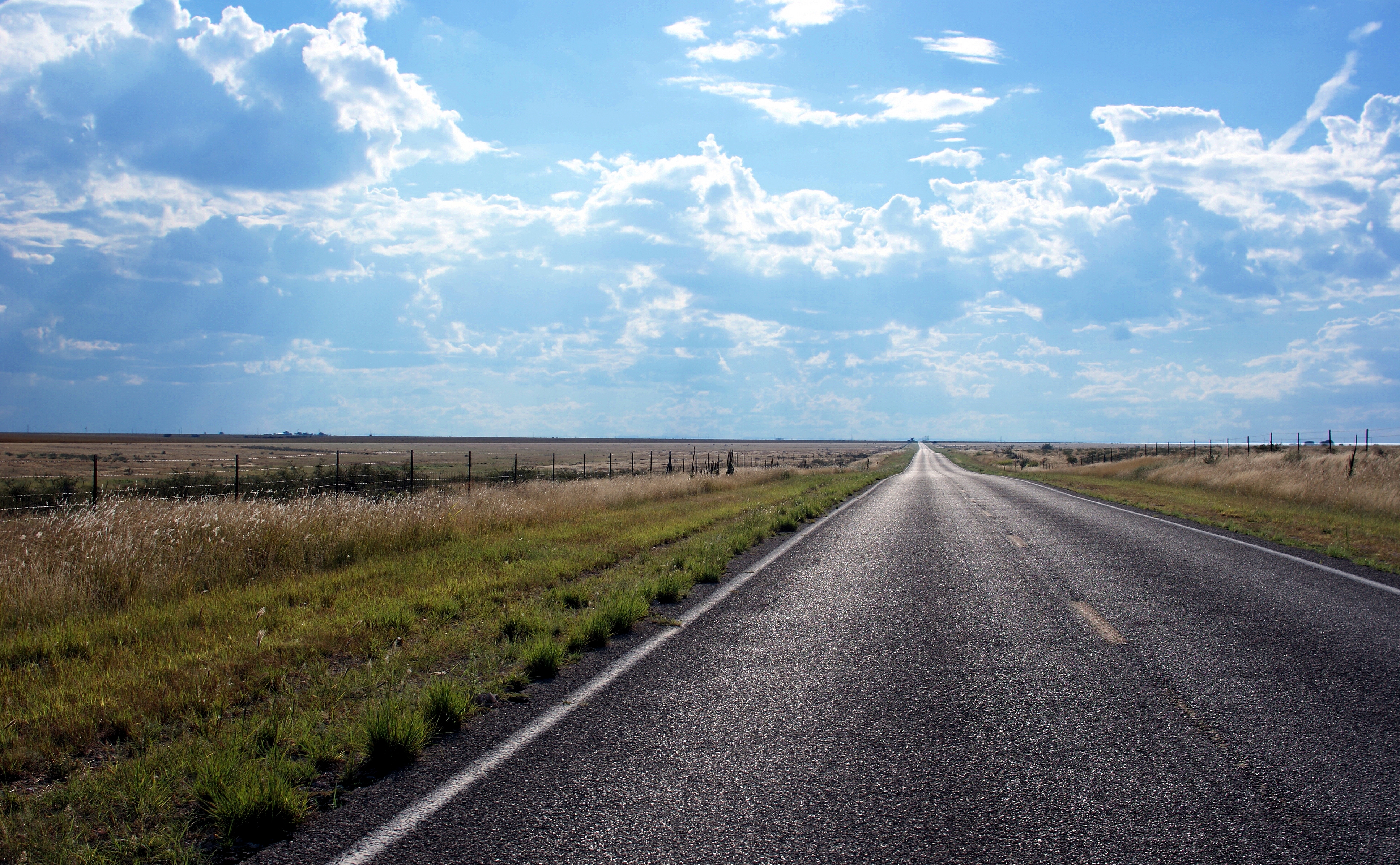
US-285 North Approaching NM-2

Summer's endings...
NM 13 outside Roswell
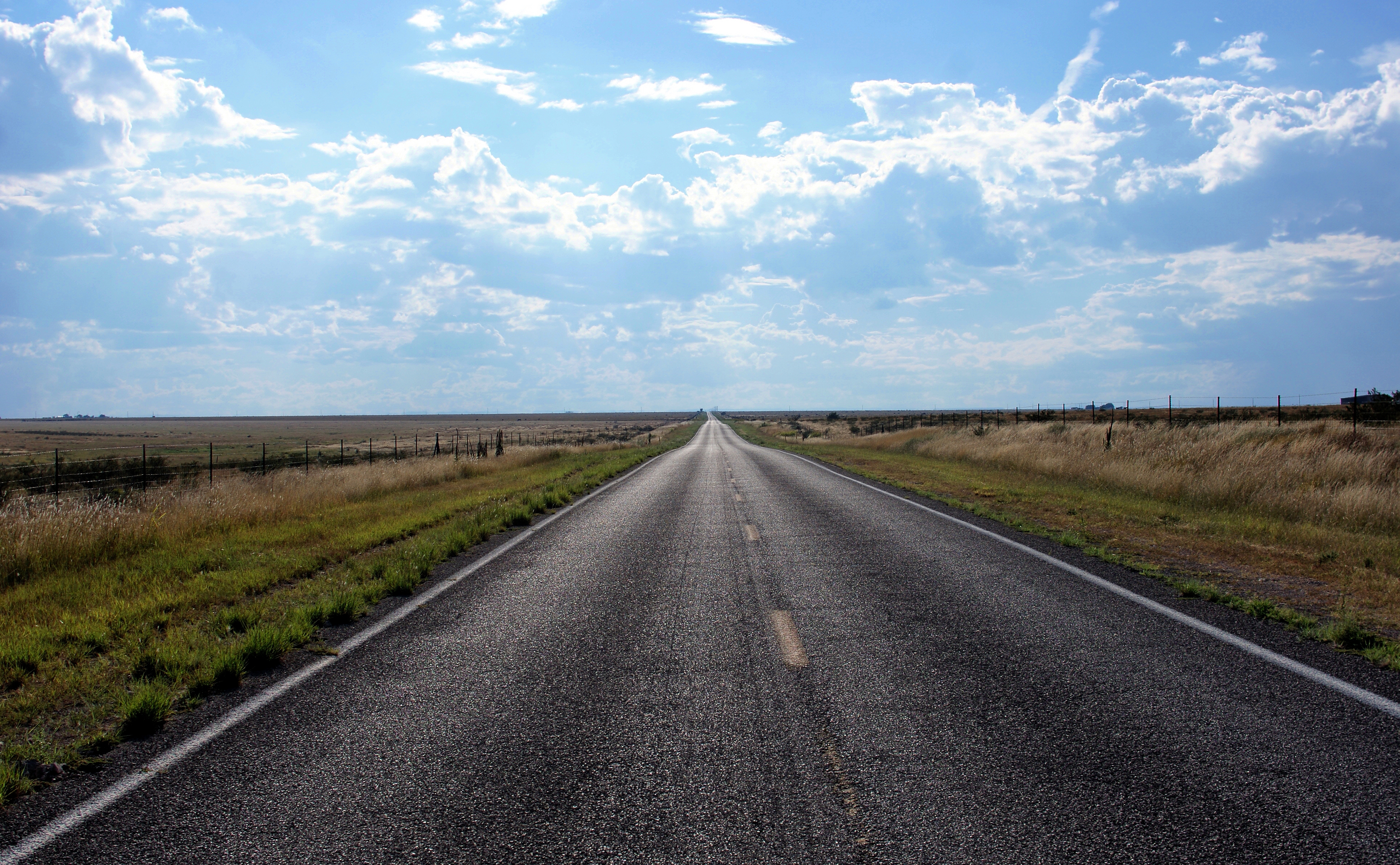
NM 13 southwest of Roswell
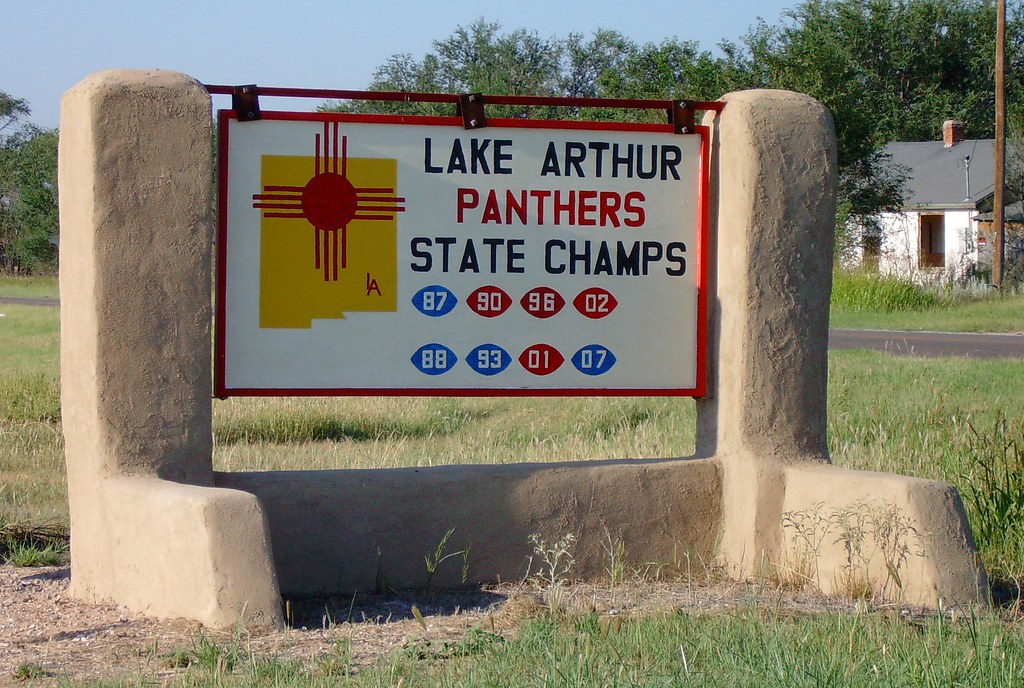
Lake Arthur Football Sign (Lake Arthur, New Mexico)
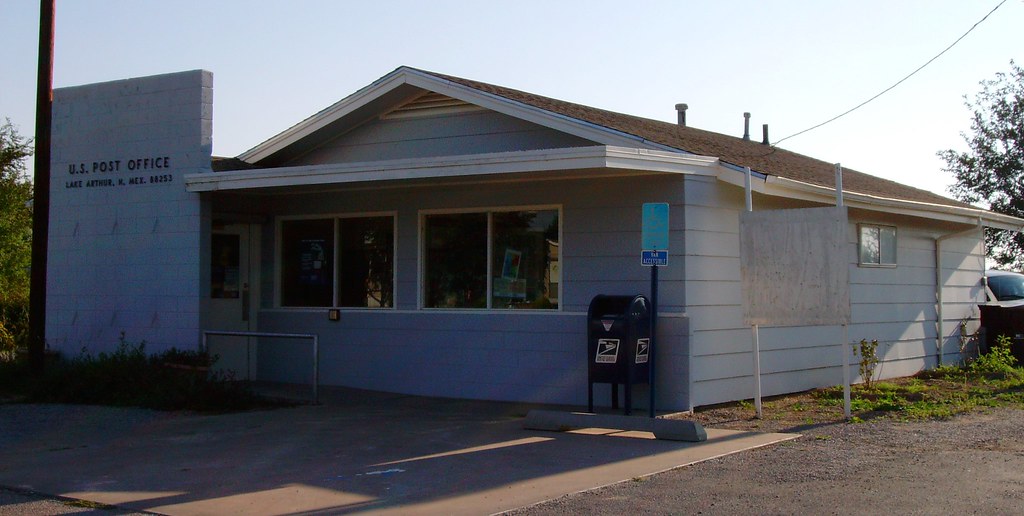
Post Office 88253 (Lake Arthur, New Mexico)
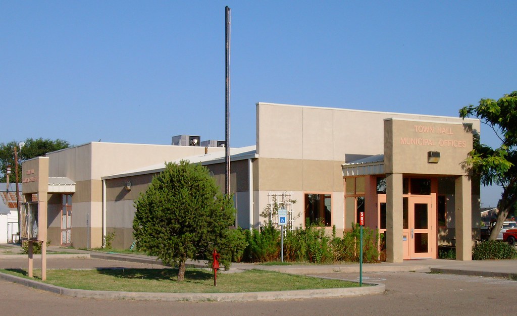
Lake Arthur, New Mexico Town Hall and Municipal Offices
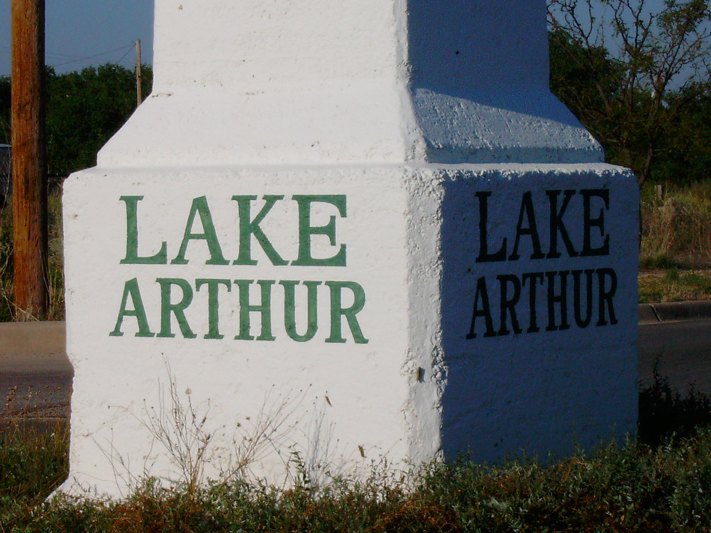
Ozark Trail Monument Detail (Lake Arthur, New Mexico)
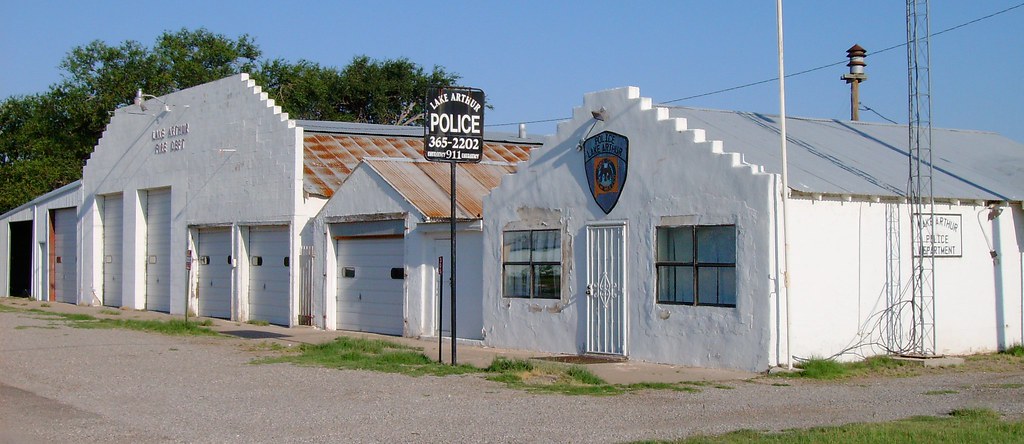
Police and Fire Departments (Lake Arthur, New Mexico)
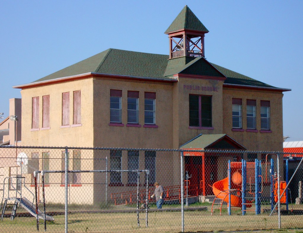
Old Public School (Lake Arthur, New Mexico)
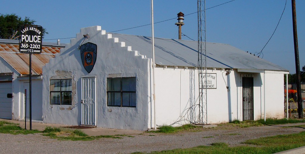
Police Department (Lake Arthur, New Mexico)
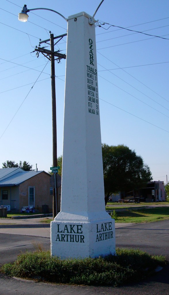
Ozark Trail Monument (Lake Arthur, New Mexico)

Leaving Roswell, New Mexico
Topographic Map of 8th St, Lake Arthur, NM, USA
Find elevation by address:

Places near 8th St, Lake Arthur, NM, USA:
Lake Arthur
W Cottonwood Rd, Artesia, NM, USA
Artesia
704 S 17th St
Dexter
66 Dayton Rd, Artesia, NM, USA
36 Savanah Blvd
137 Honolulu Rd
7 Rivers Hwy, Artesia, NM, USA
Roswell International Air Center
1 Jerry Smith Cir, Roswell, NM, USA
5600 Omaha Rd
1616 S Elm Ave
Lechegilla Rd, Hope, NM, USA
1023 S Atkinson Ave
913 E Jefferson St
7 Rivers Hwy, Artesia, NM, USA
Albertsons Market
910 Badger St
Hope
Recent Searches:
- Elevation of Leguwa, Nepal
- Elevation of County Rd, Enterprise, AL, USA
- Elevation of Kolchuginsky District, Vladimir Oblast, Russia
- Elevation of Shustino, Vladimir Oblast, Russia
- Elevation of Lampiasi St, Sarasota, FL, USA
- Elevation of Elwyn Dr, Roanoke Rapids, NC, USA
- Elevation of Congressional Dr, Stevensville, MD, USA
- Elevation of Bellview Rd, McLean, VA, USA
- Elevation of Stage Island Rd, Chatham, MA, USA
- Elevation of Shibuya Scramble Crossing, 21 Udagawacho, Shibuya City, Tokyo -, Japan