Elevation of 8 N Oak Forest Dr, Okatie, SC, USA
Location: United States > South Carolina > Beaufort County > Okatie >
Longitude: -80.856523
Latitude: 32.322125
Elevation: 5m / 16feet
Barometric Pressure: 101KPa
Elevation Map:
Satellite Map:
Related Photos:
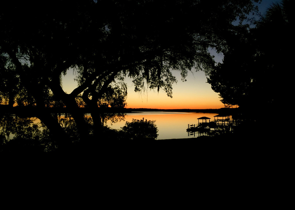
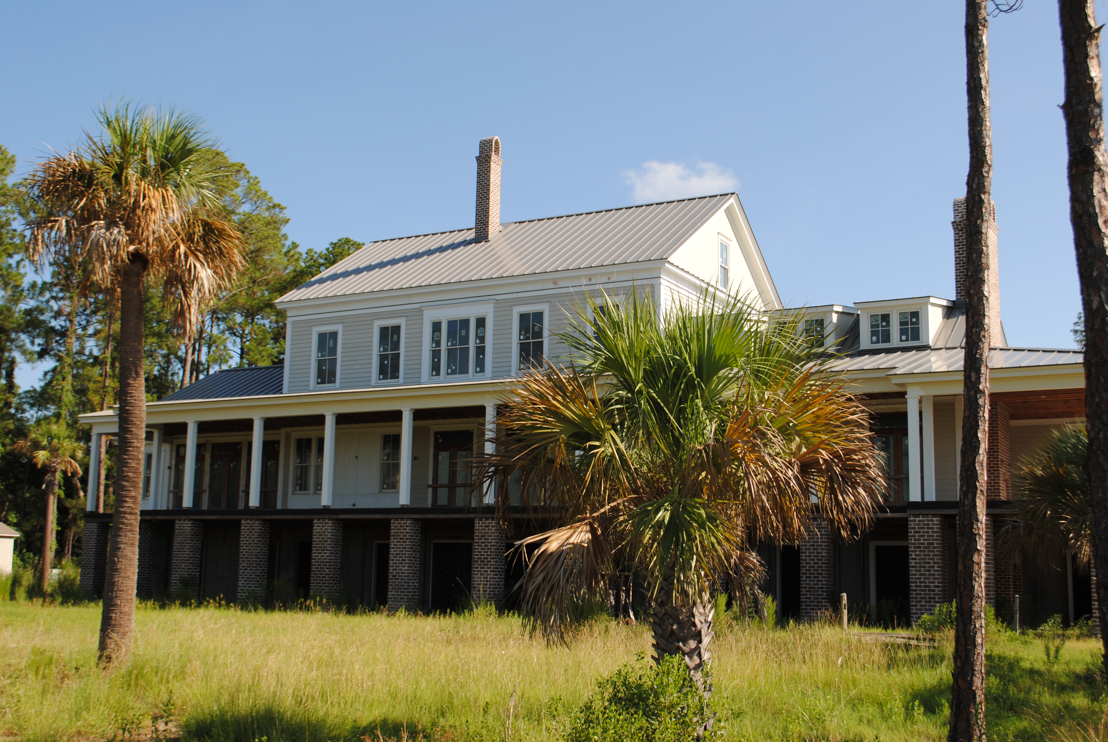
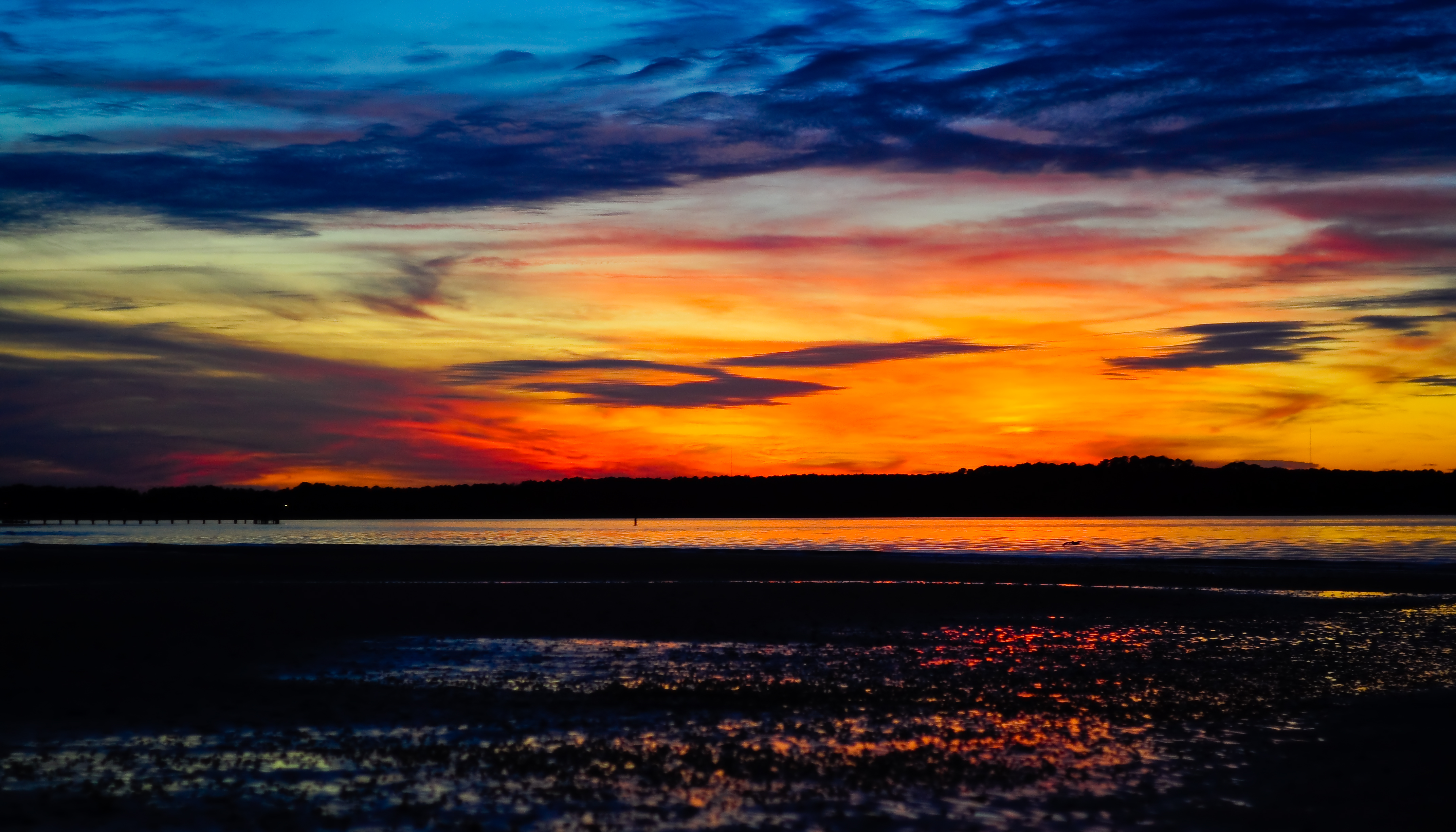
Naturally Framed Sunset
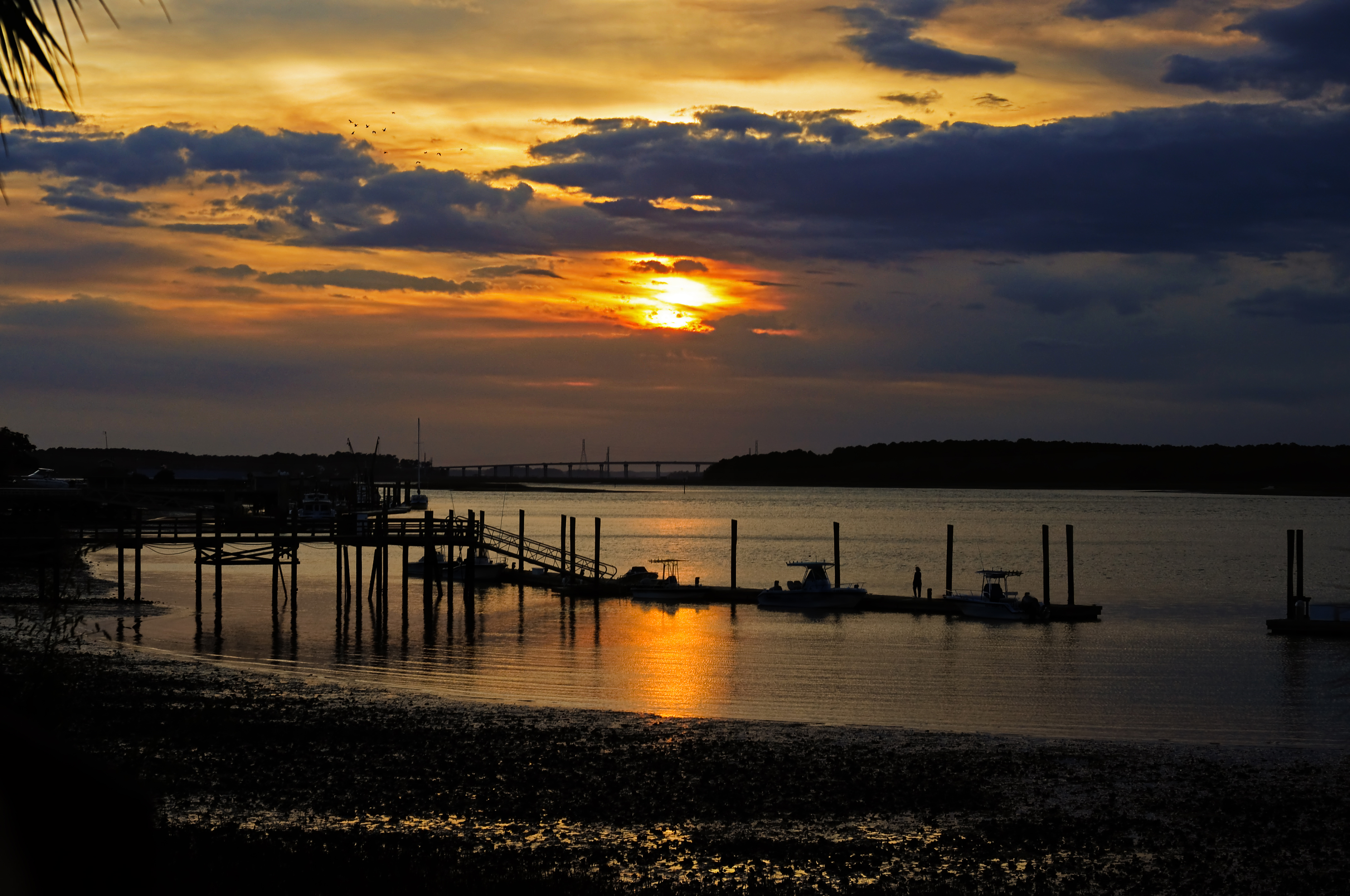
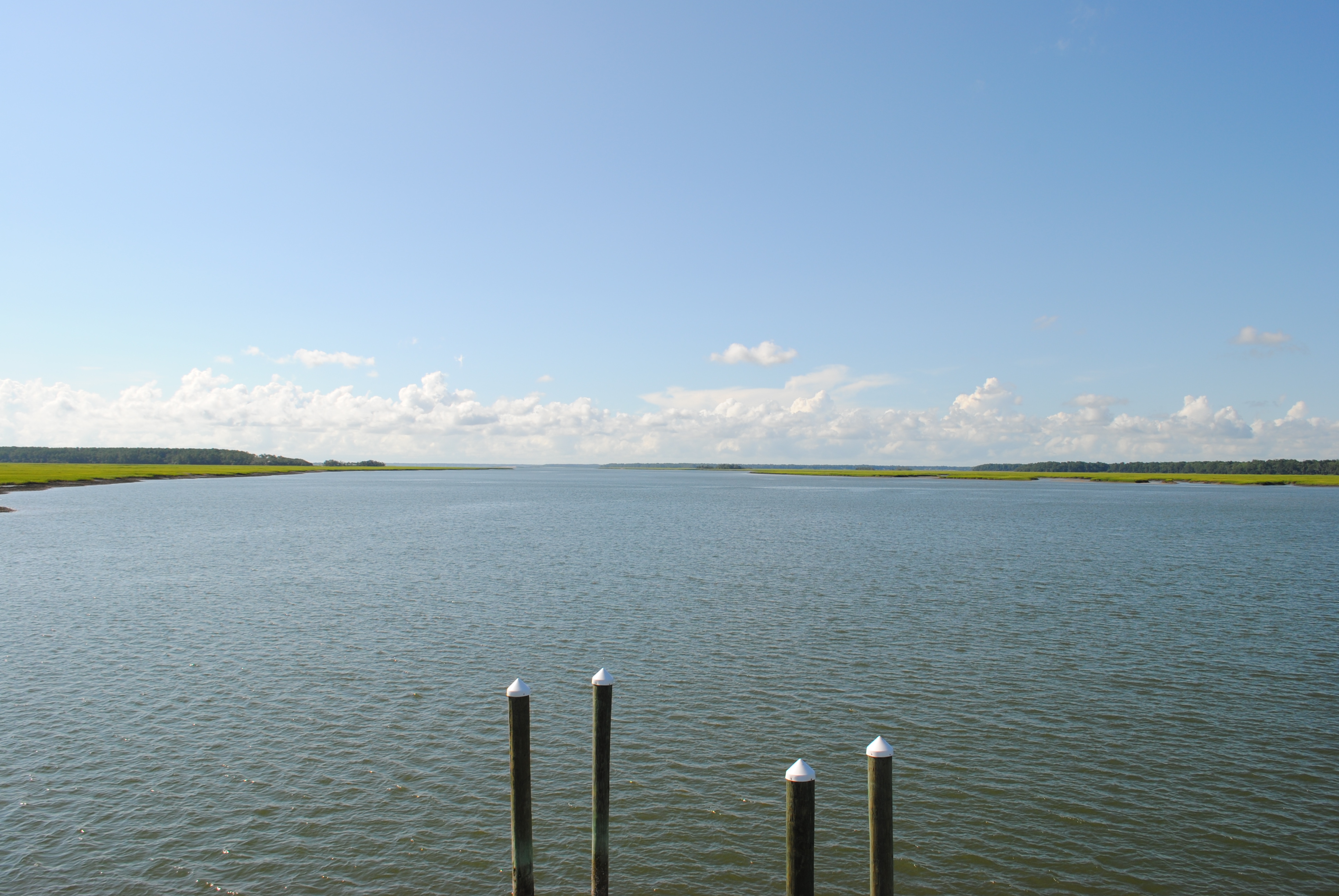
Lemon Island Point

Lemon Island Point
Lemon Island Point
Lemon Island Point
Lemon Island Point
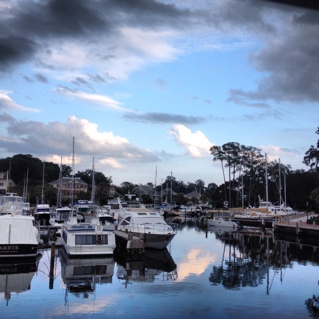
View from my Dad's boat in Hilton Head.
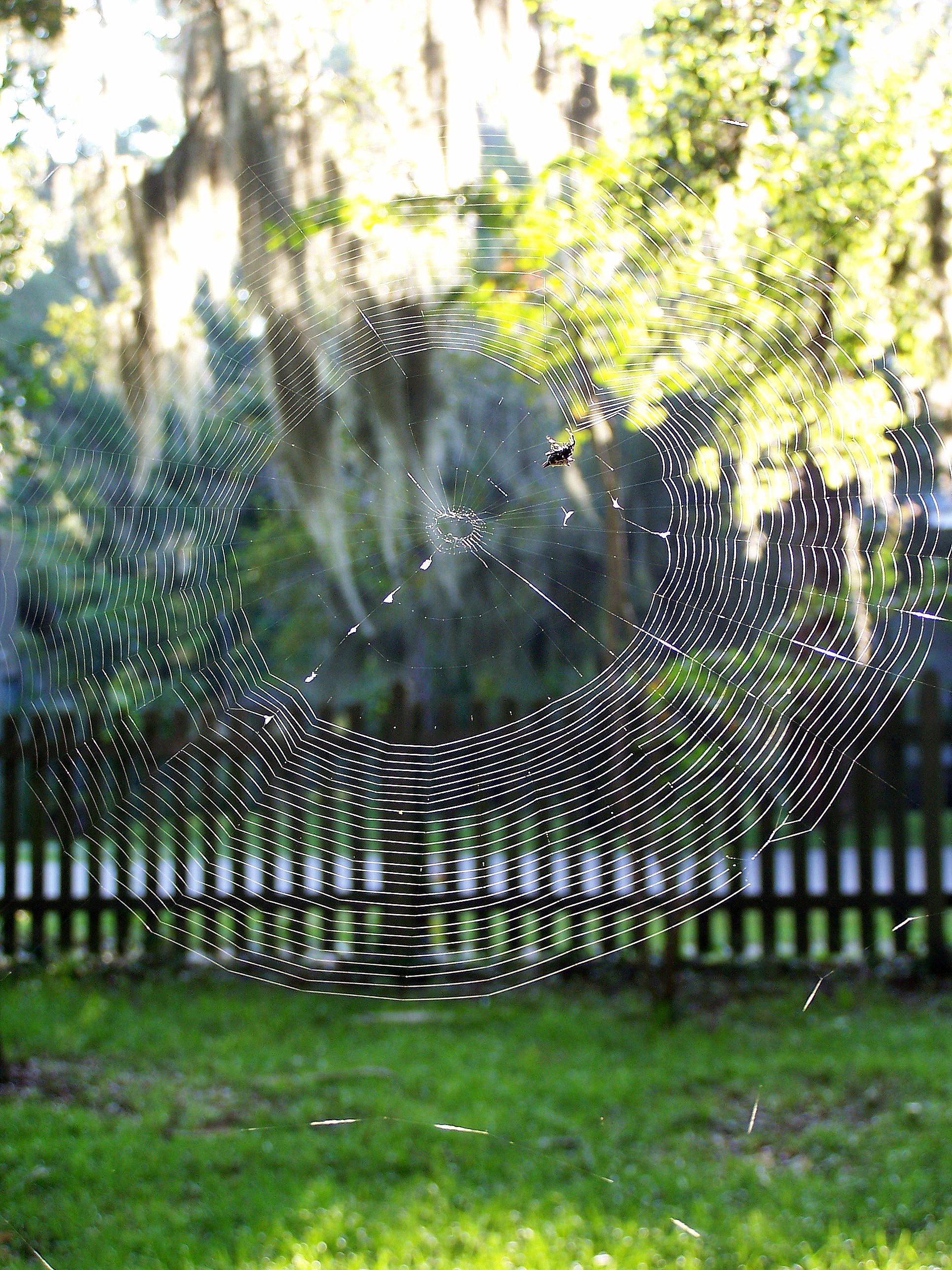
Orb Weaver

TrackHead Studios - Boat Frame

TrackHead Studios - Reflecting
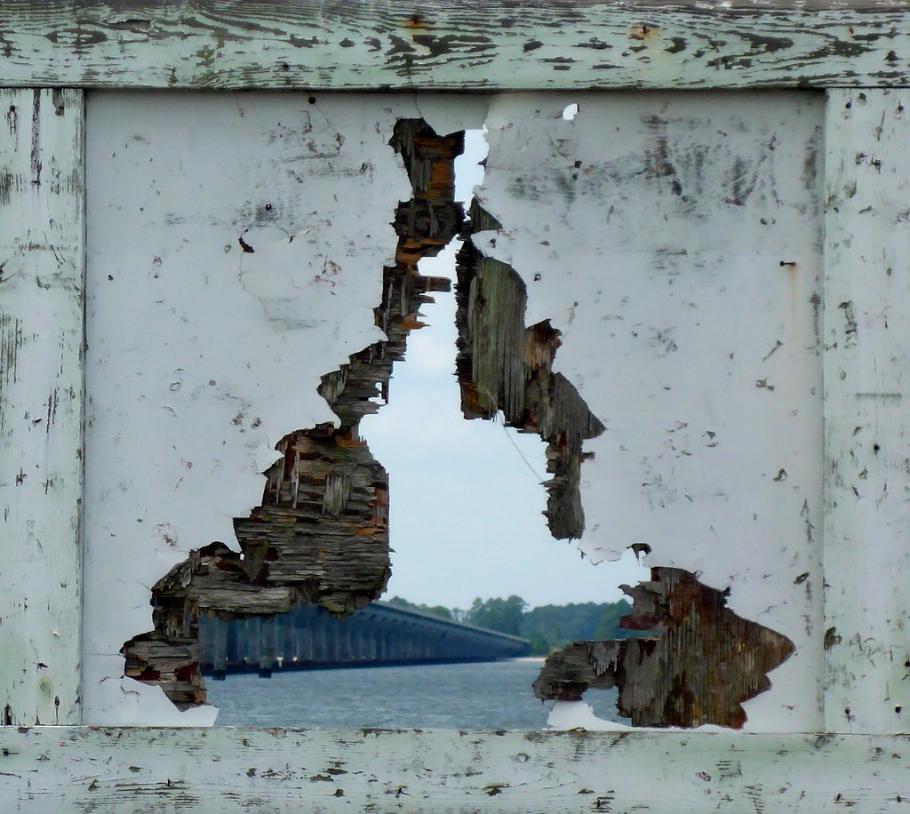
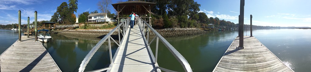
TrackHead Studios - Bridge Frame
TrackHead Studios - Natural Mirror

TrackHead Studios - Big Sky Sunset

TrackHead Studios - Lucky Bastards
TrackHead Studios - Which Way?

TrackHead Studios - World Reflected

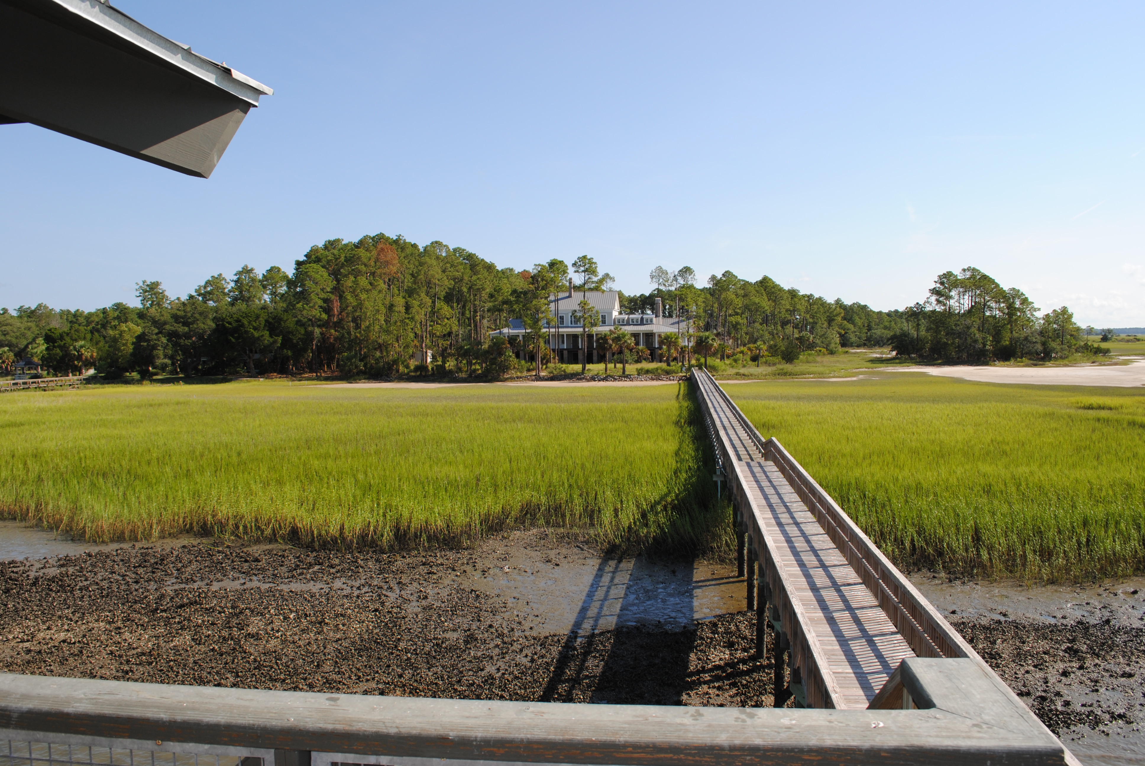
Palmetto Bluff - New Video

TrackHead Studios - Gateway to the May River
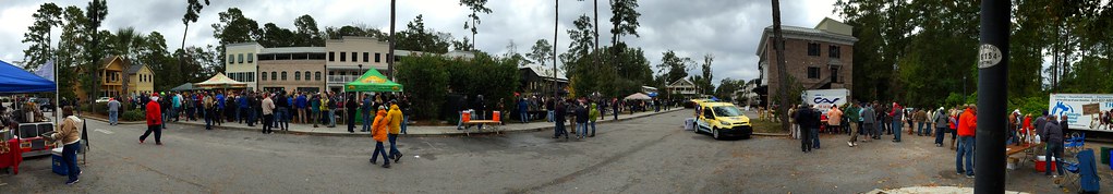
TrackHead Studios - Bluffton Beer Fest

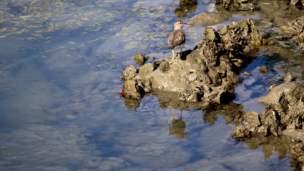
TrackHead Studios - Barnacle High-Rise Dwellings
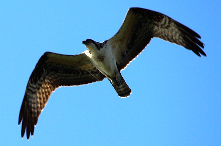
TrackHead Studios - Osprey Overhead
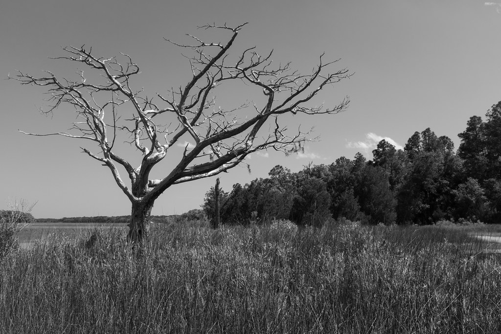
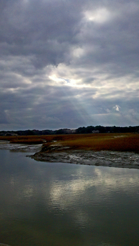
Low Tide Sunset

A great egret along the trail
Cross Island Bridge Sunset
TrackHead Studios - Above
TrackHead Studios - South Carolina Summer 2014

Ahhhhh.
Pinckney Island
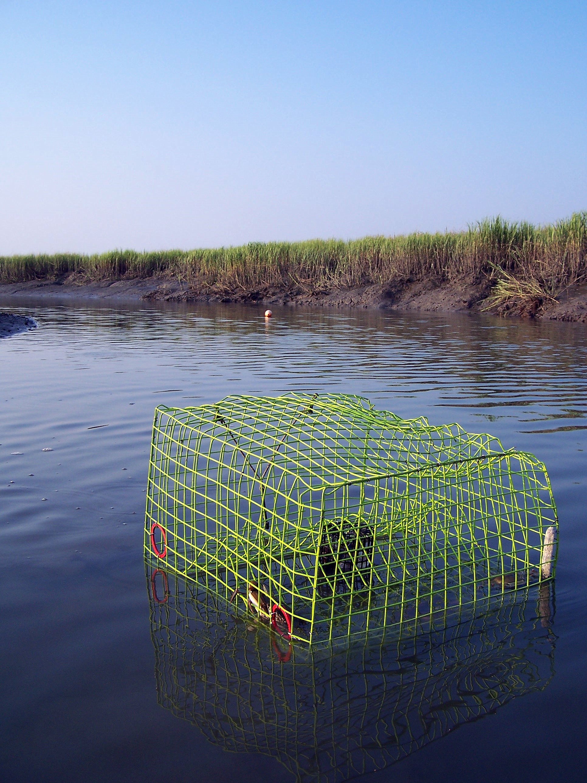
Crab Trap
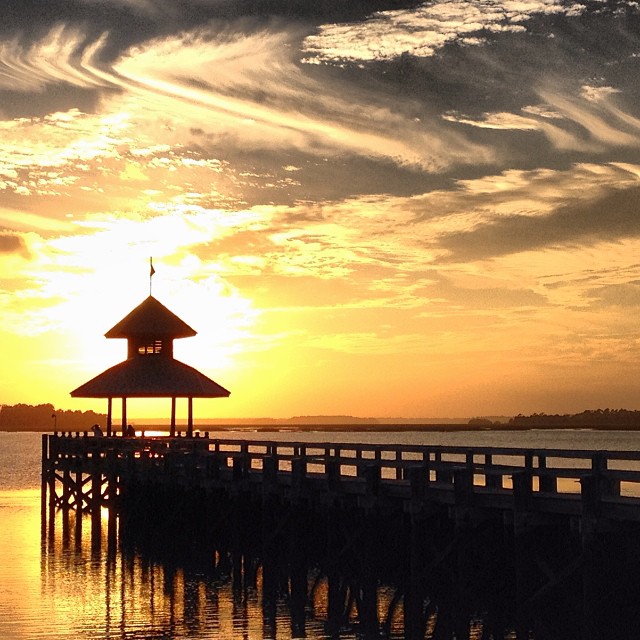
Sunset on Hilton Head
Raintree Country

May River Sunset
DSC_0624.JPG
DSC_0622.JPG
January Fish Haul
May River Paddling with Lowcountry Unfiltered-52

IMG_3584 - Version 2
Topographic Map of 8 N Oak Forest Dr, Okatie, SC, USA
Find elevation by address:

Places near 8 N Oak Forest Dr, Okatie, SC, USA:
7 N Oak Forest Dr
2 S Oak Forest Dr
14 S Oak Forest Dr
24 S Oak Forest Dr
4 Cracked Crab Ln
7 River Bend Dr
Callawassie Island
236 Callawassie Dr
26 River Bend Dr
28 River Bend Dr
12 Heron Walk
20 Heron Walk
3 Winding Oak Dr
9 Heron Walk
13 Heron Walk
7 Heron Walk
53 Heron Walk
44 Callawassie Club Dr
43 Heron Walk
8 Chechessee Cir
Recent Searches:
- Elevation of Falling Spring Rd, Clyde, NC, USA
- Elevation of Kingsfield St, Castle Rock, CO, USA
- Elevation of AMELIA CT HSE, VA, USA
- Elevation of Abbey Dr, Virginia Beach, VA, USA
- Elevation of Brooks Lp, Spearfish, SD, USA
- Elevation of Panther Dr, Maggie Valley, NC, USA
- Elevation of Jais St - Wadi Shehah - Ras al Khaimah - United Arab Emirates
- Elevation of Shawnee Avenue, Shawnee Ave, Easton, PA, USA
- Elevation of Scenic Shore Dr, Kingwood Area, TX, USA
- Elevation of W Prive Cir, Delray Beach, FL, USA