Elevation of 88 Stephenson Curve, Townshend, VT, USA
Location: United States > Vermont > Windham County > Townshend >
Longitude: -72.69331
Latitude: 43.0456902
Elevation: 145m / 476feet
Barometric Pressure: 100KPa
Elevation Map:
Satellite Map:
Related Photos:
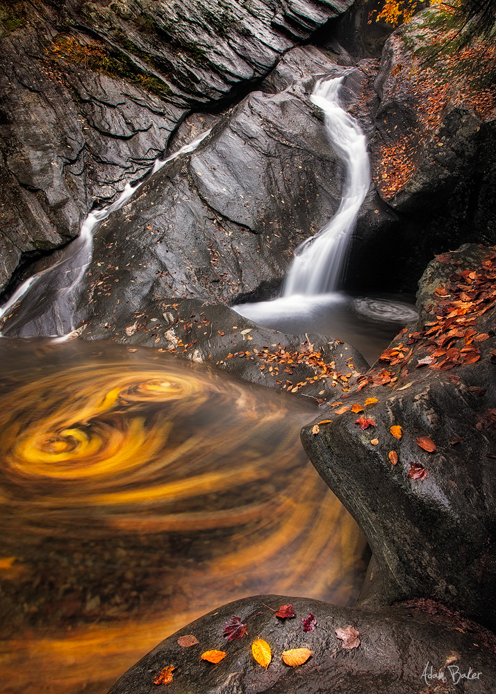
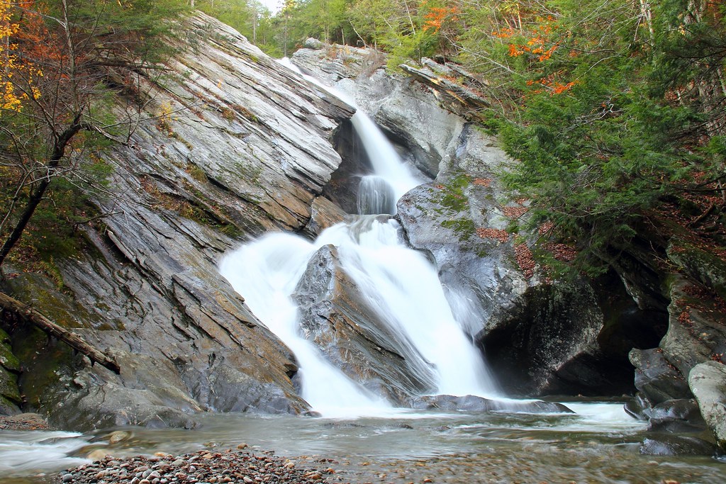
Hamilton Falls, Jamaica Vermont
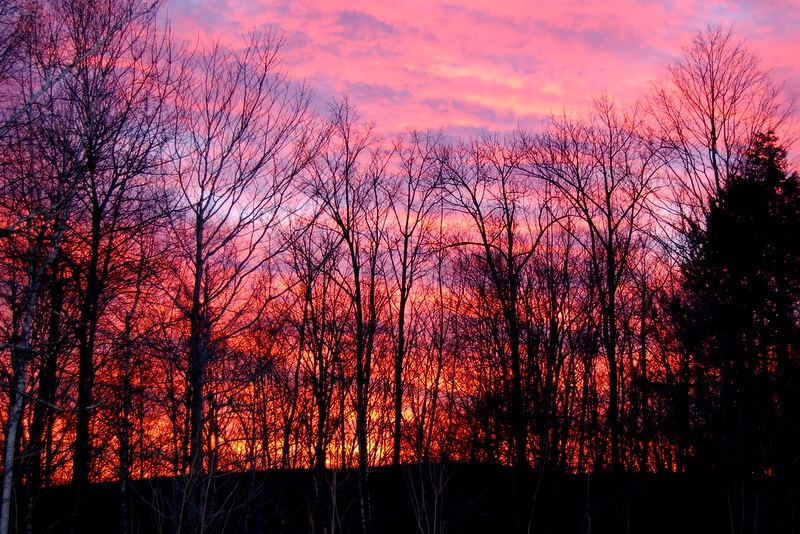
This Morning's 10 Minute Sunrise in Reverse (EXPLORED)

MY Little Chickadee!
an opening in the lattice

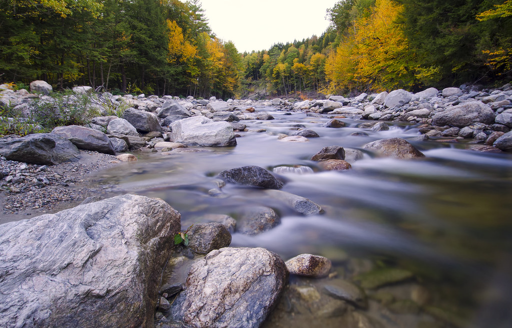
Cobb Brook
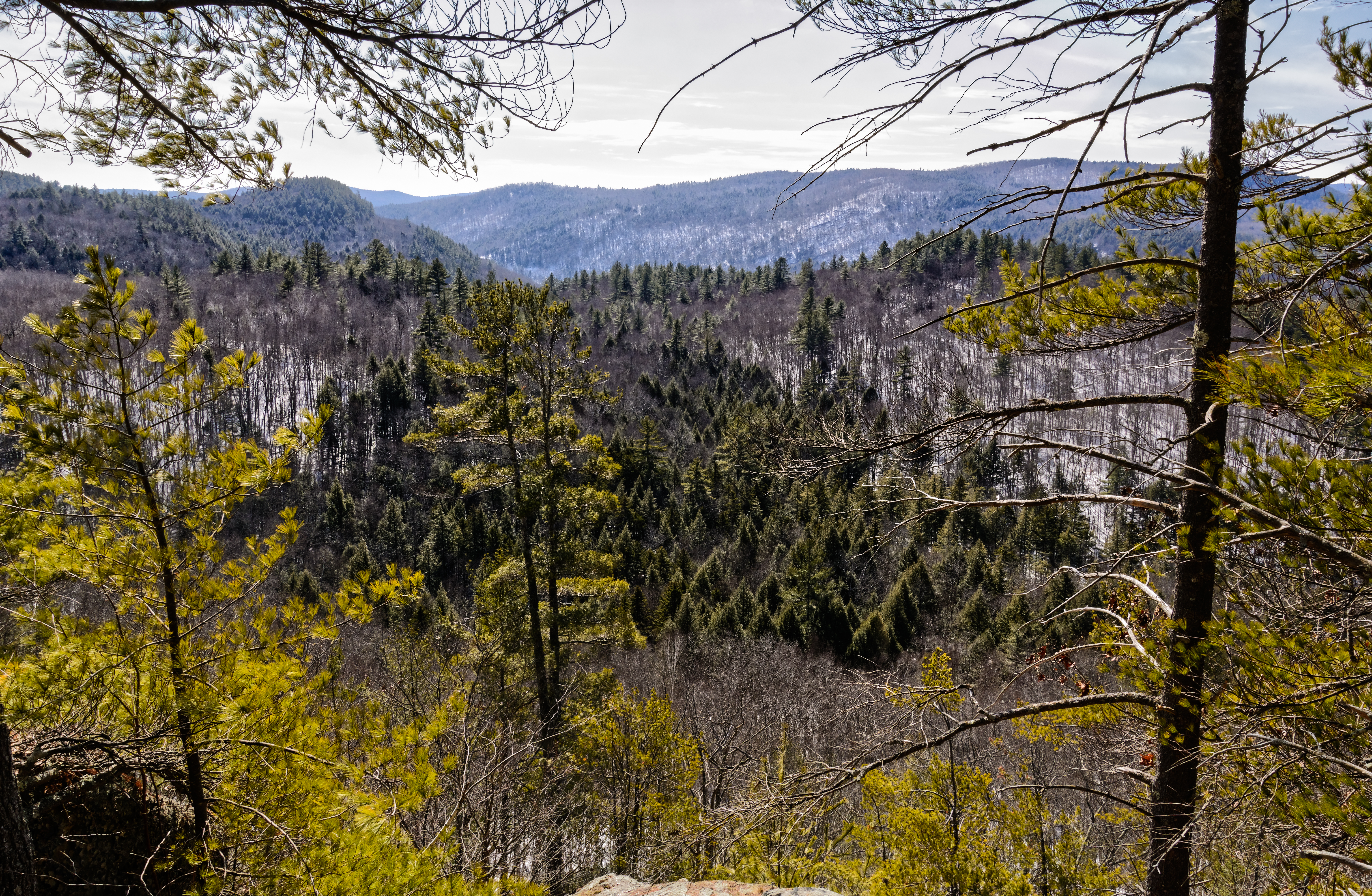
View From Little Ball Mountain 5518
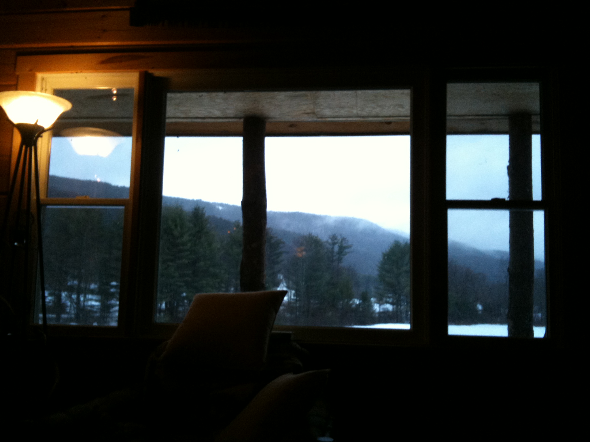
The view from the cabin window

At Last!!! A Green Heron!!

More views
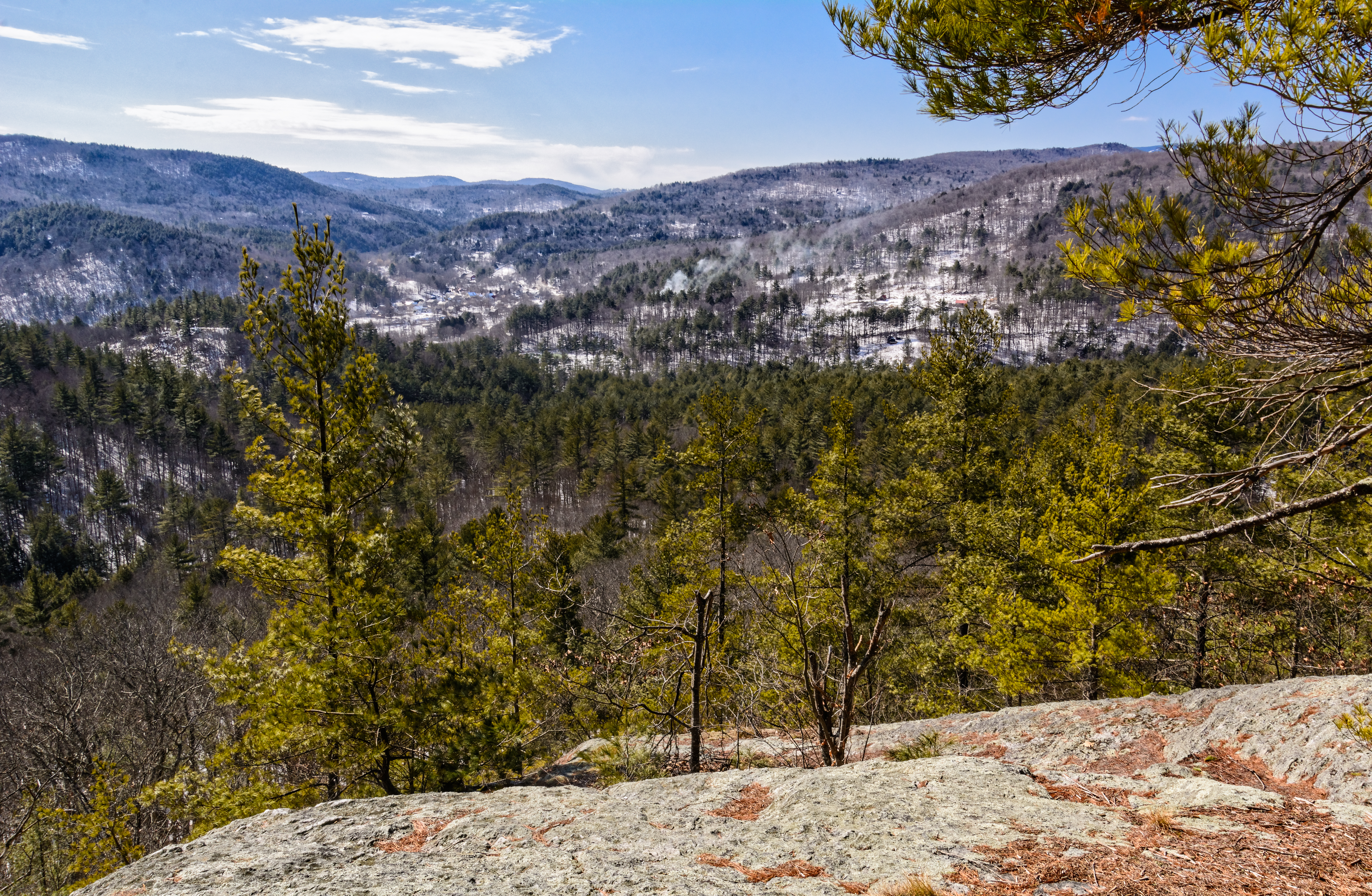
View From Little Ball Mountain 5527

View of my campsite's ceiling.

Kitchen Entrance
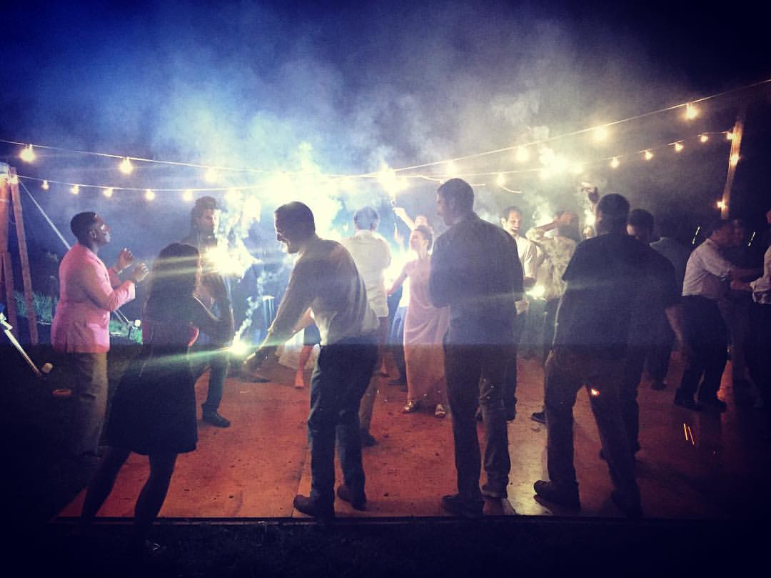
A perk of being a wallflower: this view #samnoraloveceremony
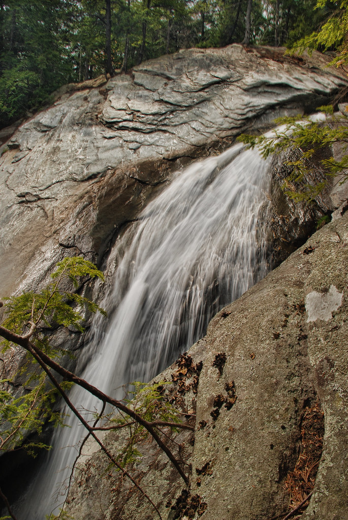
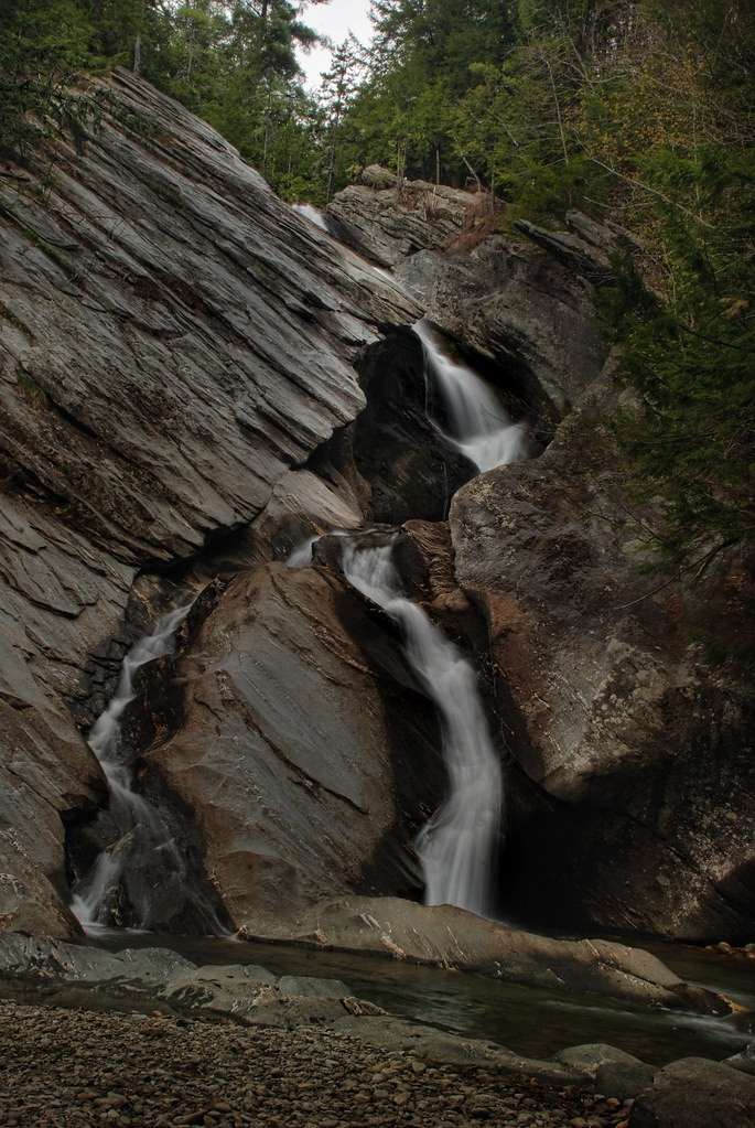
Mountain Goat View of Hamilton Falls

Getting a view

view from the living room
Country Roads (Explored)

Sweet Mother & Child Purple Finch Photos . . . Explored!

gold rush

From the edge of the Harvest Festival
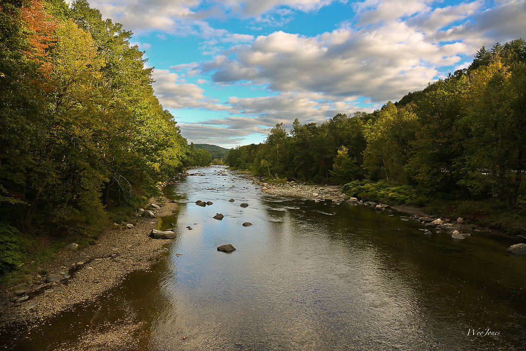
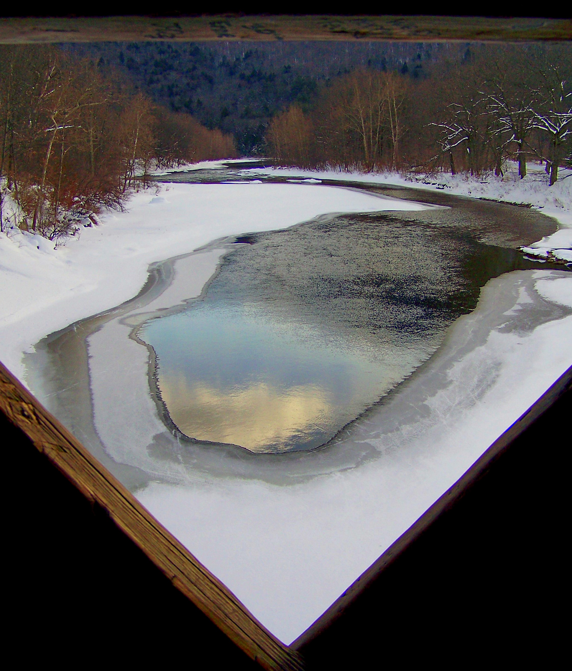
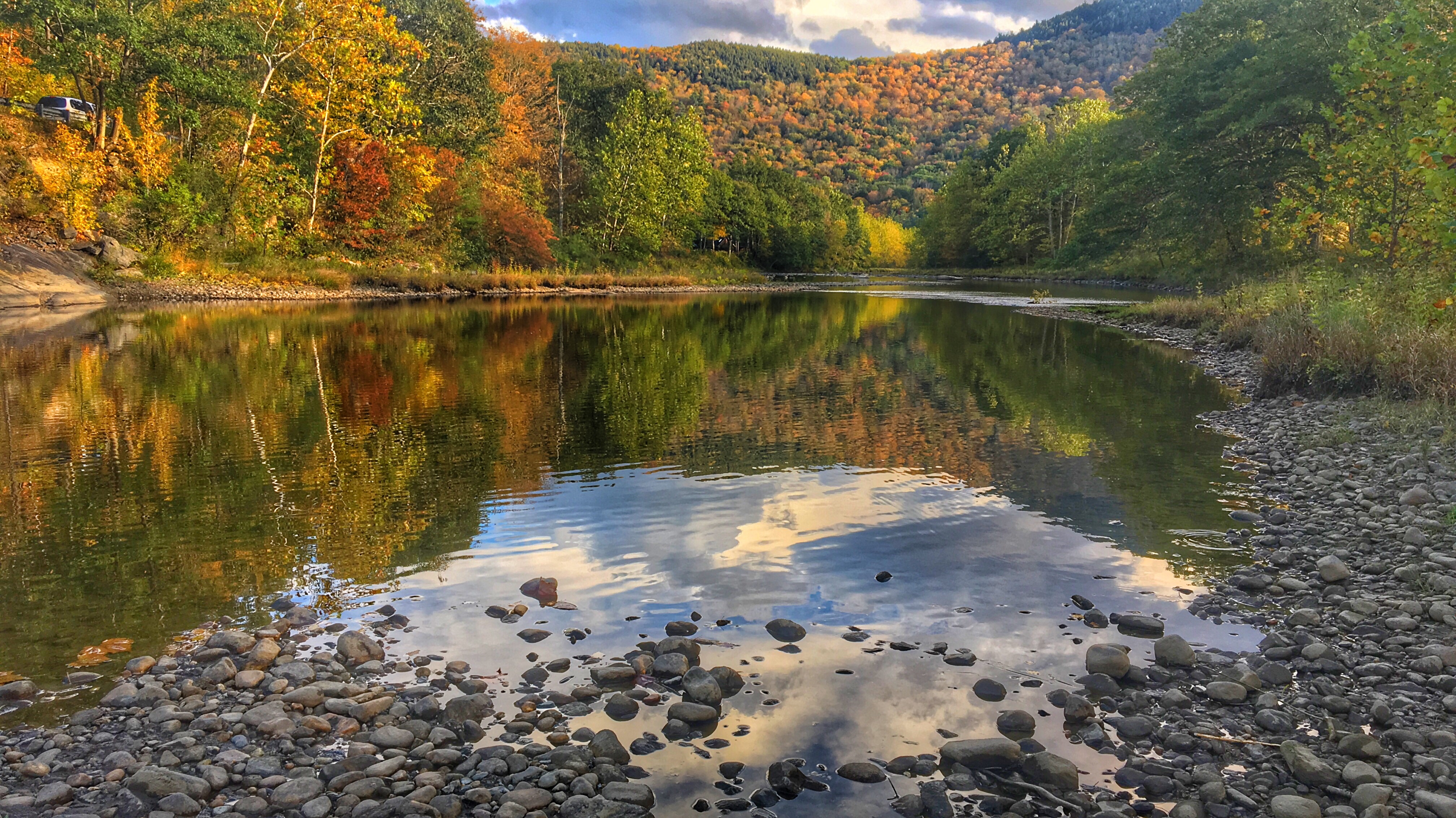
The West River
∞
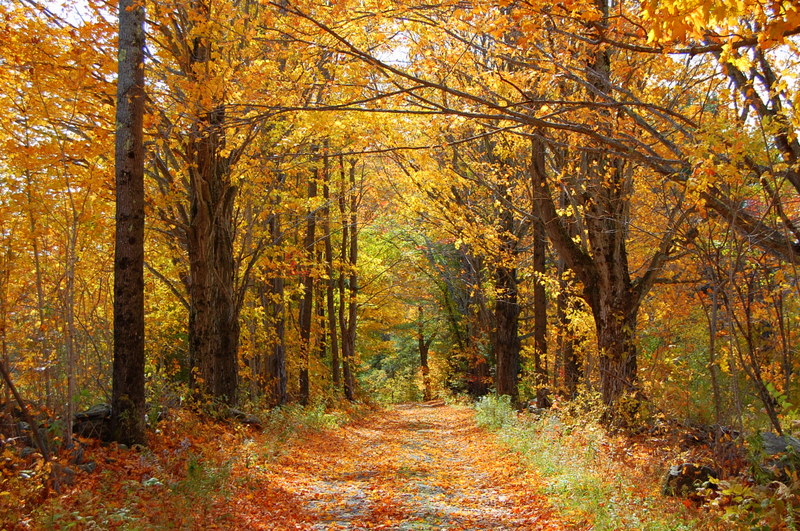
Trees 4a
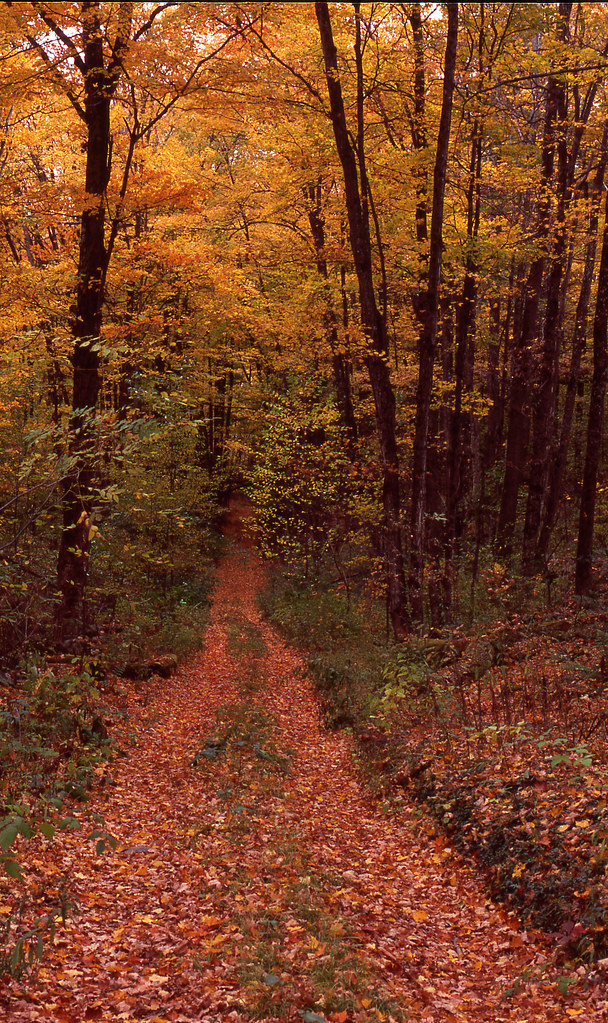
Autumn in Vermont
The Perfect Fake! (Explored!)
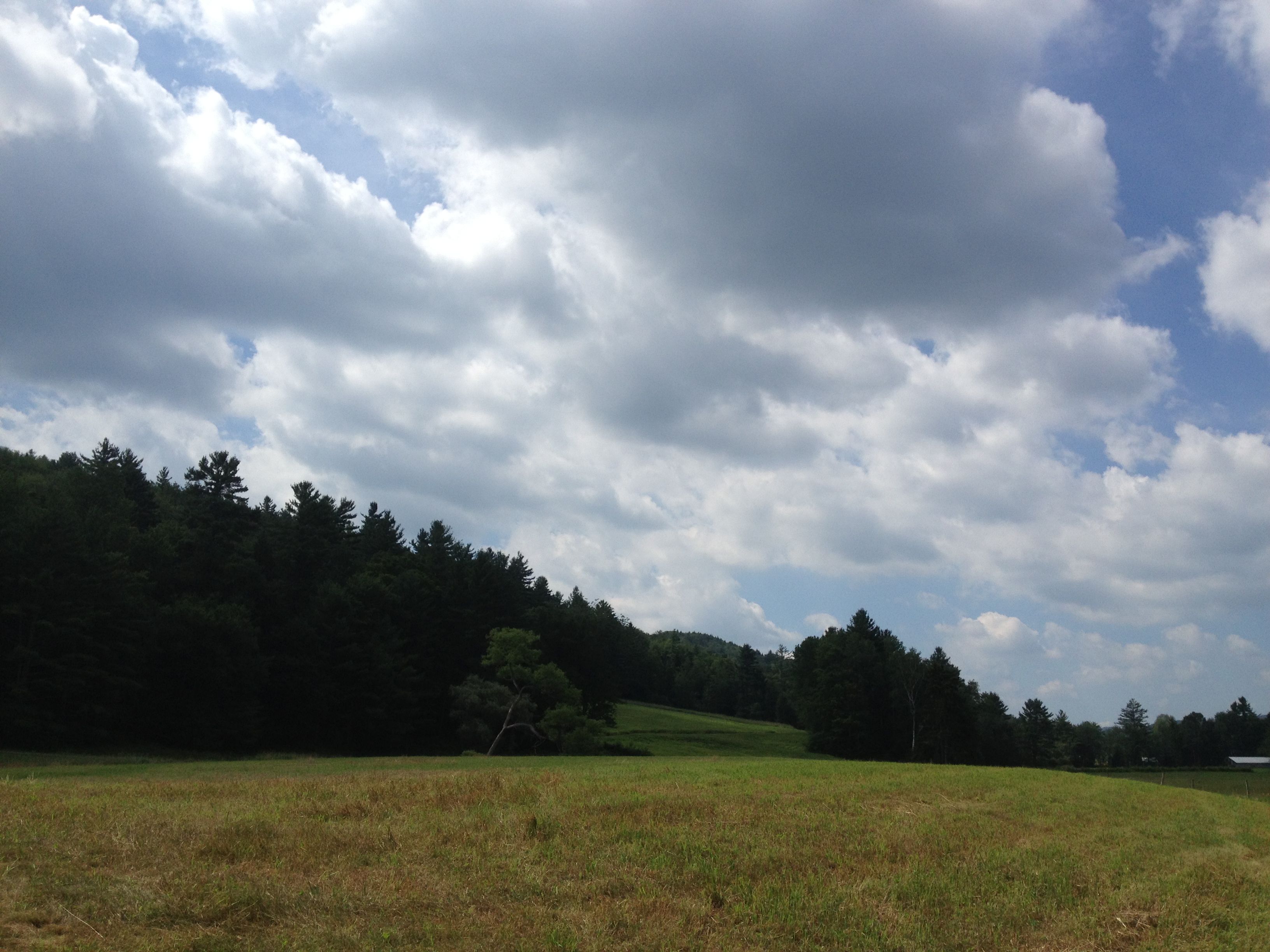
2013-07-19 10.41.45

Never give up; for even rivers someday wash dams away...

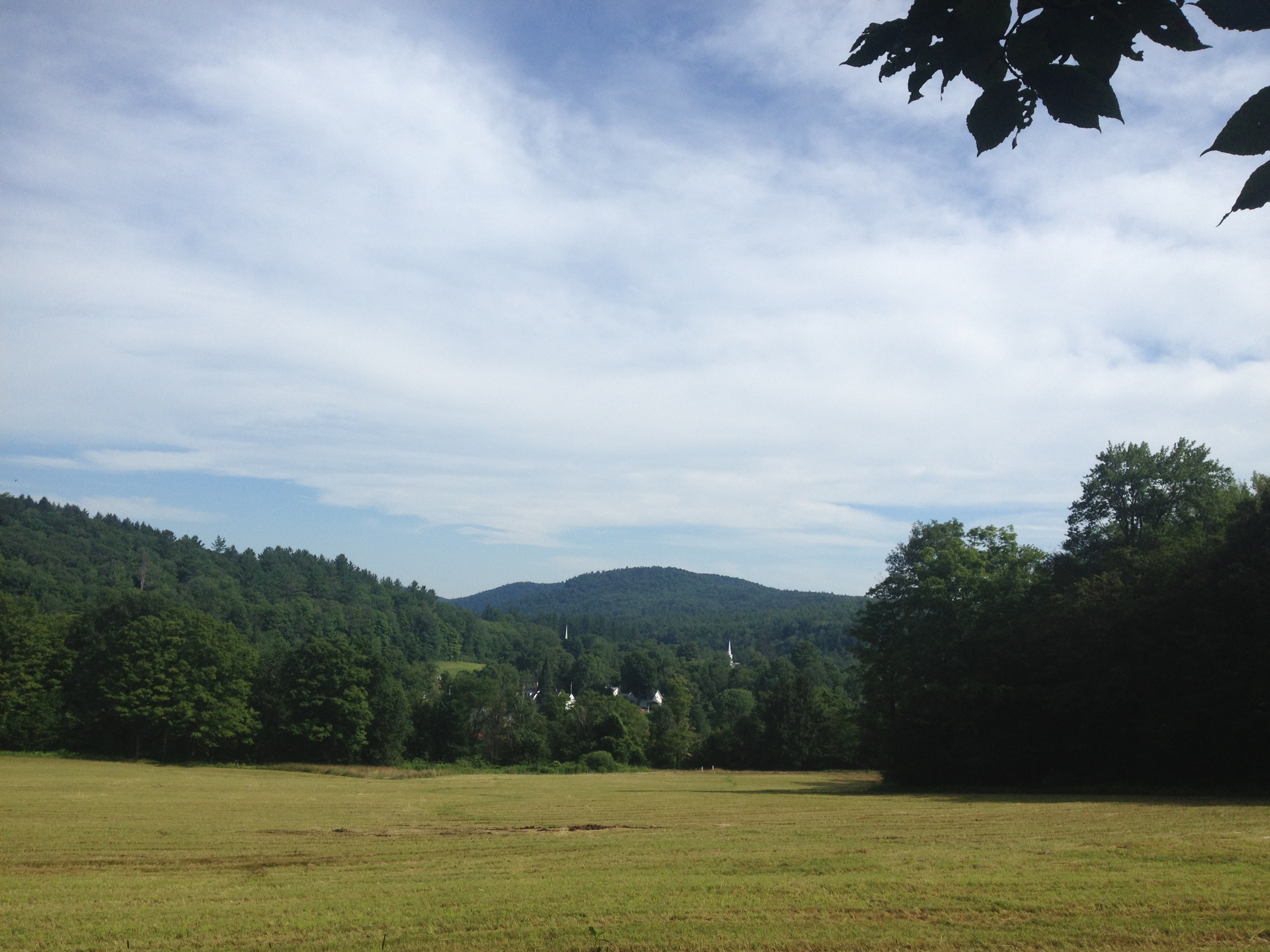
2013-07-19 09.31.46

2013-07-19 10.41.26
I never think of the future - it comes soon enough...
2013-07-19 10.44.20

2013-07-19 10.41.21

The Dumplings
Vermont 005
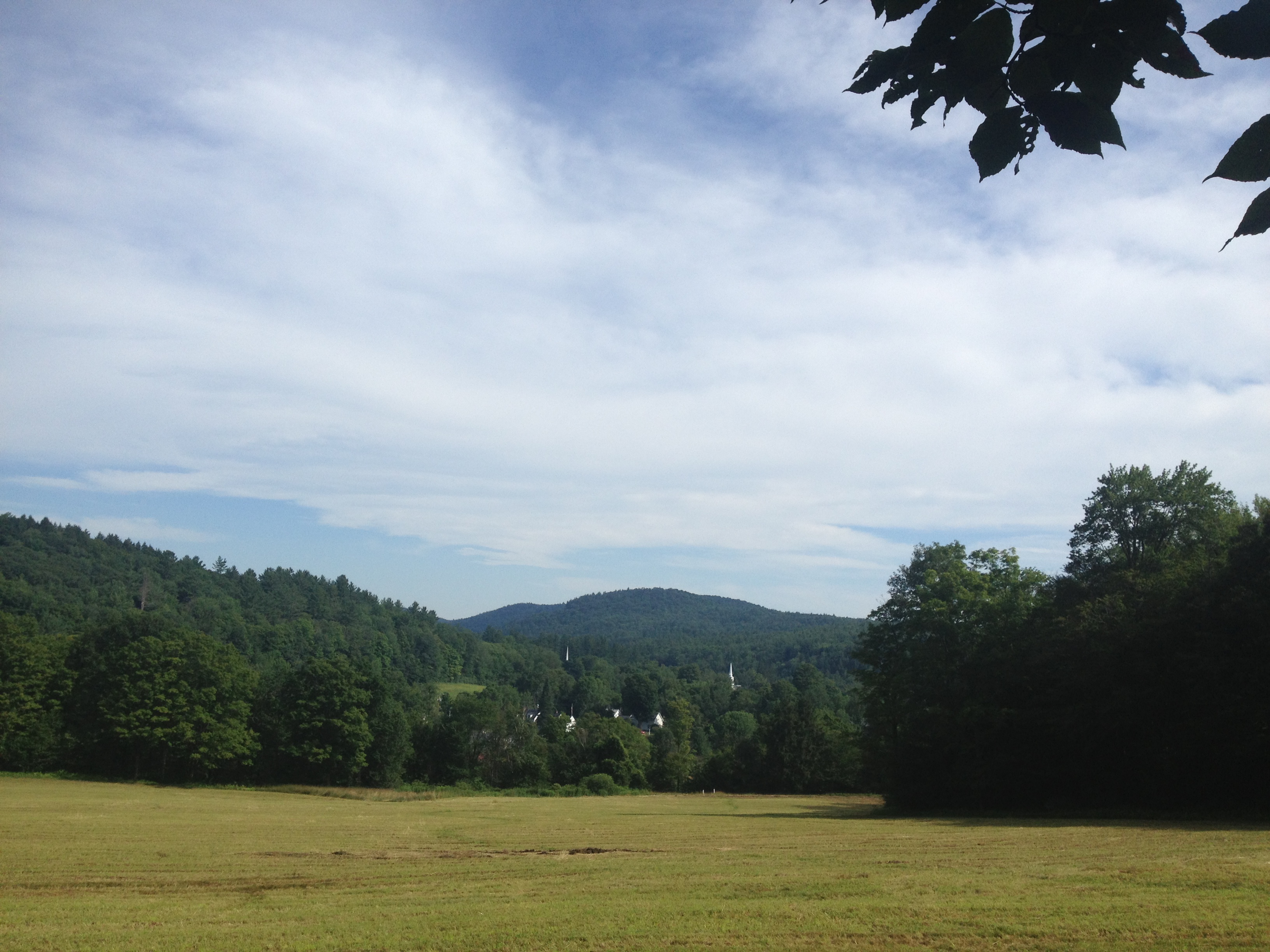
2013-07-19 09.31.51
2013-07-19 09.31.48
Topographic Map of 88 Stephenson Curve, Townshend, VT, USA
Find elevation by address:

Places near 88 Stephenson Curve, Townshend, VT, USA:
Mary Meyer Stuffed Toys
2498 Vt-30
Townshend
95 Sir Isaac Newton Rd #65
1118 Peaked Mountain Rd
99 Derry Ln
135 Otis Ln
866 Townshend Dam Rd
639 Vt-30
11 Church St
5 Church St, Newfane, VT, USA
Newfane
26 Steep Way Rd
232 Steep Way Rd
30 Back St
Silver Mine Rd, Wardsboro, VT, USA
165 Newfane Hill Rd
165 Newfane Hill Rd
10 Hemlock Hill Rd
6 Parker Rd, Brookline, VT, USA
Recent Searches:
- Elevation of 6 Rue Jules Ferry, Beausoleil, France
- Elevation of Sattva Horizon, 4JC6+G9P, Vinayak Nagar, Kattigenahalli, Bengaluru, Karnataka, India
- Elevation of Great Brook Sports, Gold Star Hwy, Groton, CT, USA
- Elevation of 10 Mountain Laurels Dr, Nashua, NH, USA
- Elevation of 16 Gilboa Ln, Nashua, NH, USA
- Elevation of Laurel Rd, Townsend, TN, USA
- Elevation of 3 Nestling Wood Dr, Long Valley, NJ, USA
- Elevation of Ilungu, Tanzania
- Elevation of Yellow Springs Road, Yellow Springs Rd, Chester Springs, PA, USA
- Elevation of Rēzekne Municipality, Latvia