Elevation of 86 E S, Farmington, UT, USA
Location: United States > Utah > Davis County > Farmington >
Longitude: -111.88552
Latitude: 40.956732
Elevation: 1292m / 4239feet
Barometric Pressure: 87KPa
Elevation Map:
Satellite Map:
Related Photos:
Elephant Rock

Pumpkin Patch ~ My Beautiful Sister

The Scarlet Pimpernel - Viewmont High School - 0527

The Scarlet Pimpernel - Viewmont High School - 0515

Look Into My Eyes
Traffic on Highway 89

The Scarlet Pimpernel - Viewmont High School - 0523

Sunset over Salt Lake Bird Refuge
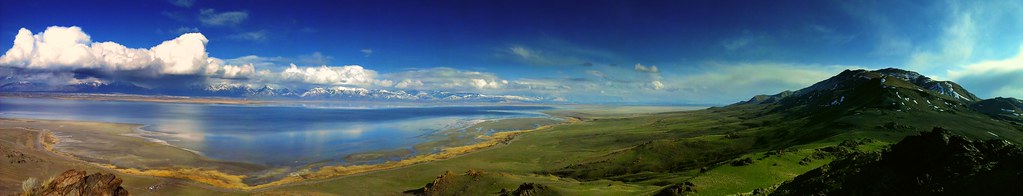
Great Salt Lake Morning View
South end of Antelope Island
Double Verto, OR Stacked Panorama...

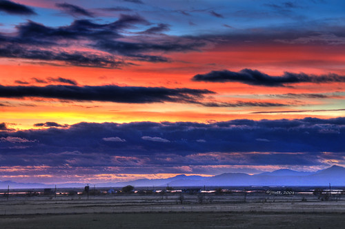
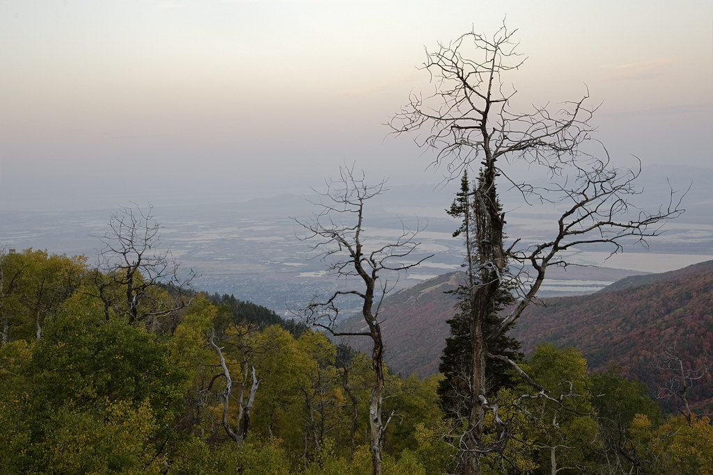
Valley Haze
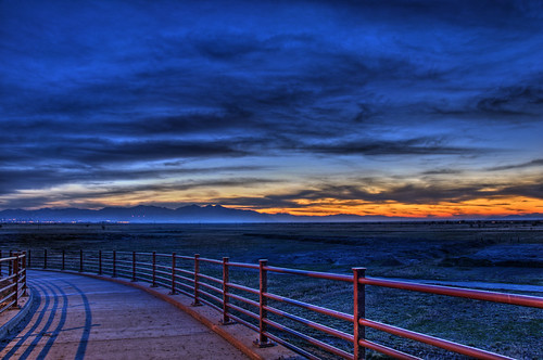
Rushing Headlong into Blue Hour

Dont forget to turn around...
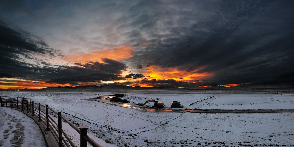
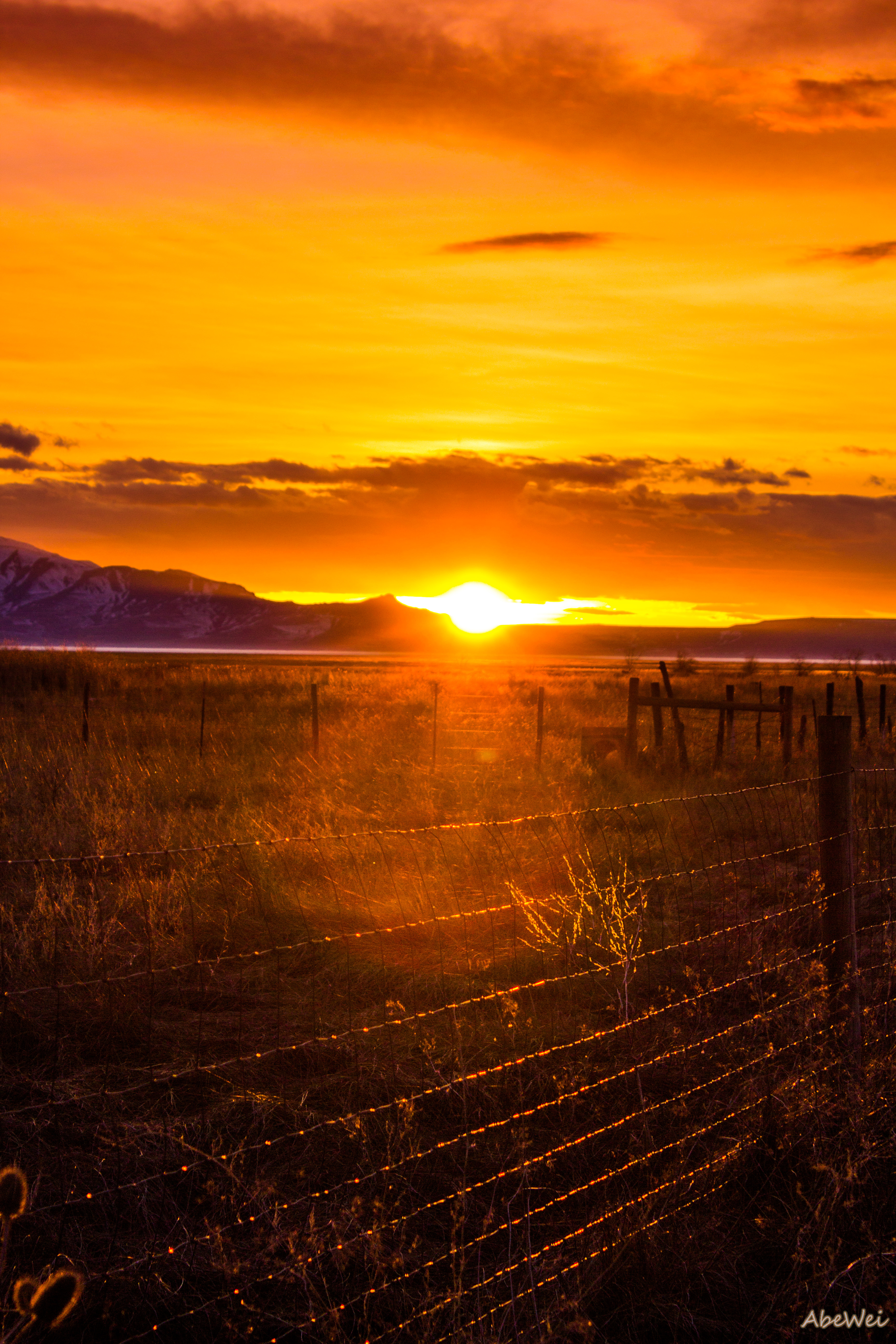
Fire in the sky...

No Trespassing! Dead End!
view from the top of Dooly Knob

Horse Pasture Sunset

northbound I-15 at 200 West, 1972

Big Oil Sunset

Blue Hour and Big Oil

The Great Salt Lake Shorelands Preserve, UT

Sunset at the Red Barn

Creek in the Fall

Utah Autumn Colors

Layton, UT

The Great Salt Lake Shorelands Preserve, UT

Layton,UT

Bountiful Lake

Hay !

The Ground

IMG_8086.DNG

IMG_8062.DNG
Utah's Sunset

Bountiful Lake

Bountiful Lake
The Great Salt Lake
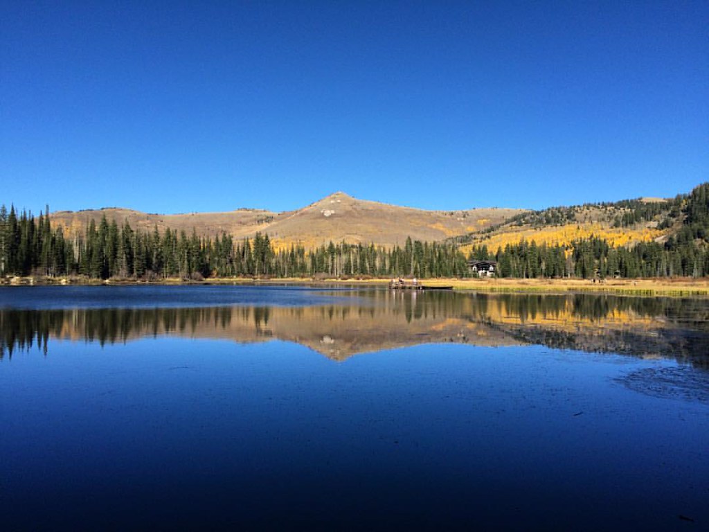
Silver Lake
Topographic Map of 86 E S, Farmington, UT, USA
Find elevation by address:

Places near 86 E S, Farmington, UT, USA:
1540 S 200 E
68 1600 S
174 E 2100 N
544 N Main St
213 N 170 W
Centerville
165 800 E
Centerville Junior High School
Deuel Creek South Trail Head
184 Country Springs Dr
922 Ridgeline Cir
1600 N 1100 W
935 N Main St
105 E 800 N
951 N 900 W
1150 N 950 E
550 N 200 W
960 E 1050 N
1350 N Skyline Dr
West Bountiful
Recent Searches:
- Elevation of Corso Fratelli Cairoli, 35, Macerata MC, Italy
- Elevation of Tallevast Rd, Sarasota, FL, USA
- Elevation of 4th St E, Sonoma, CA, USA
- Elevation of Black Hollow Rd, Pennsdale, PA, USA
- Elevation of Oakland Ave, Williamsport, PA, USA
- Elevation of Pedrógão Grande, Portugal
- Elevation of Klee Dr, Martinsburg, WV, USA
- Elevation of Via Roma, Pieranica CR, Italy
- Elevation of Tavkvetili Mountain, Georgia
- Elevation of Hartfords Bluff Cir, Mt Pleasant, SC, USA