Elevation of 85 Pine Valley Rd, Cotopaxi, CO, USA
Location: United States > Colorado > Cotopaxi >
Longitude: -105.46912
Latitude: 38.3458073
Elevation: 2312m / 7585feet
Barometric Pressure: 76KPa
Elevation Map:
Satellite Map:
Related Photos:
20150629_212419
20150629_212415
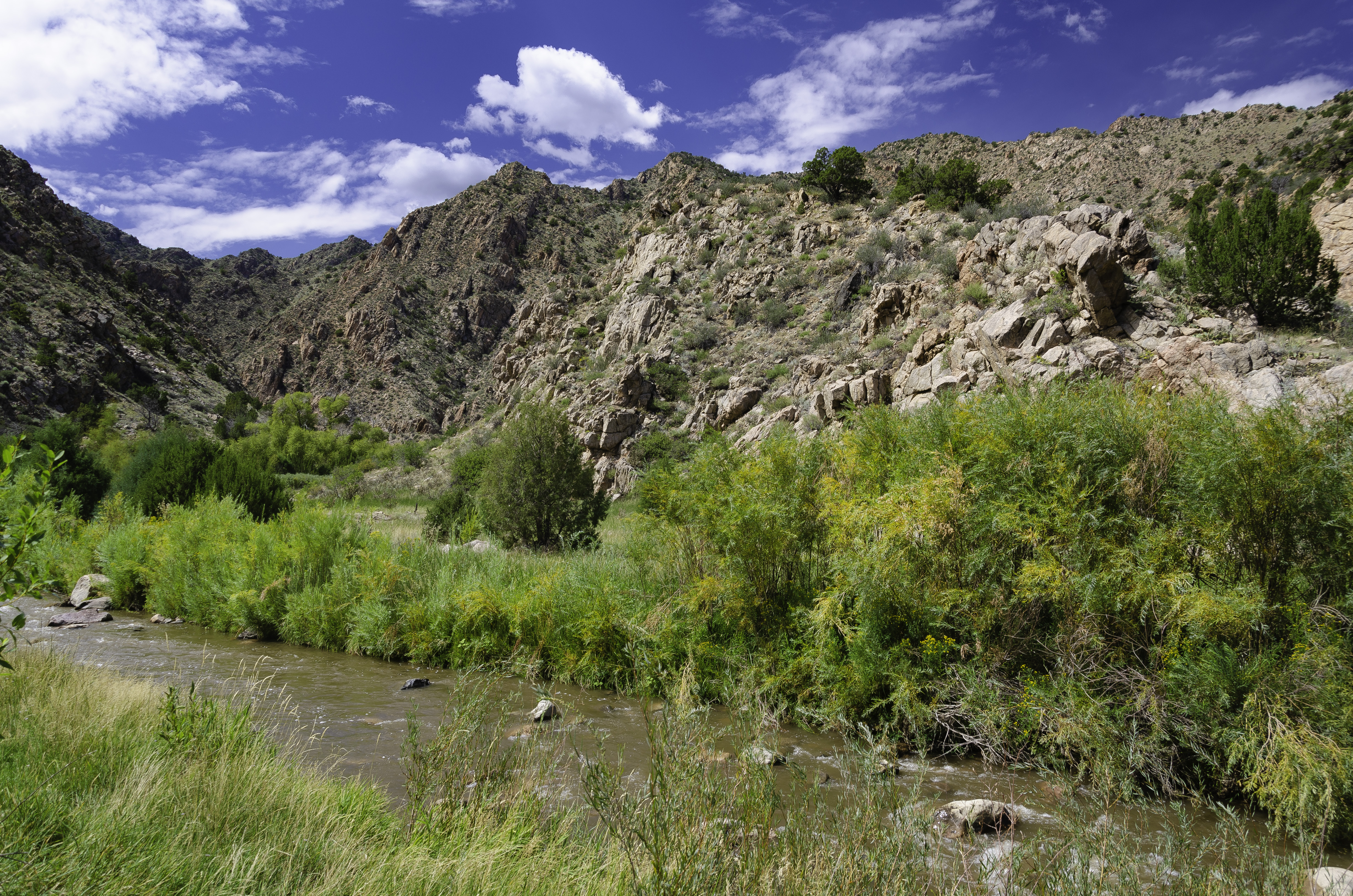
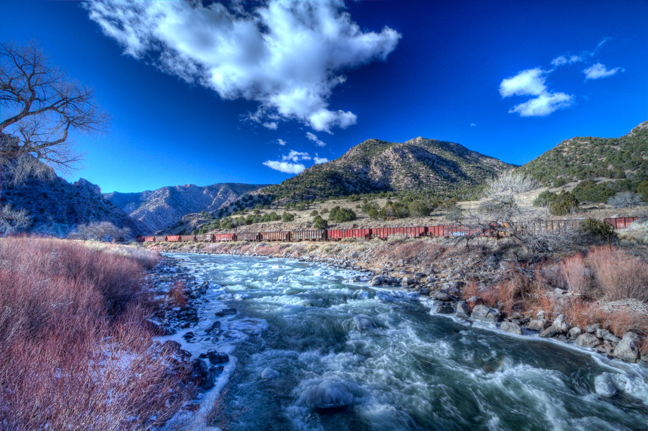
U.S. Route 50 Colorado on the Arkansas River
Temple Canyon & Grape Creek
Temple Canyon
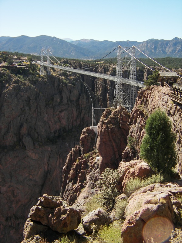
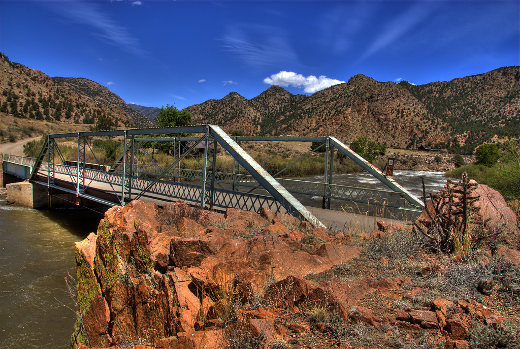
A very high bridge
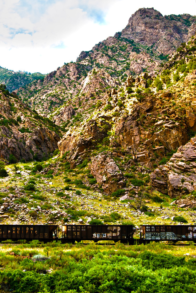
Rocky Railway
PhotoContest-Udall10-5

PhotoContest-Udall10-3
PhotoContest-Udall10-6
Temple Canyon Hike
Temple Canyon Trail
PhotoContest-Udall10-1

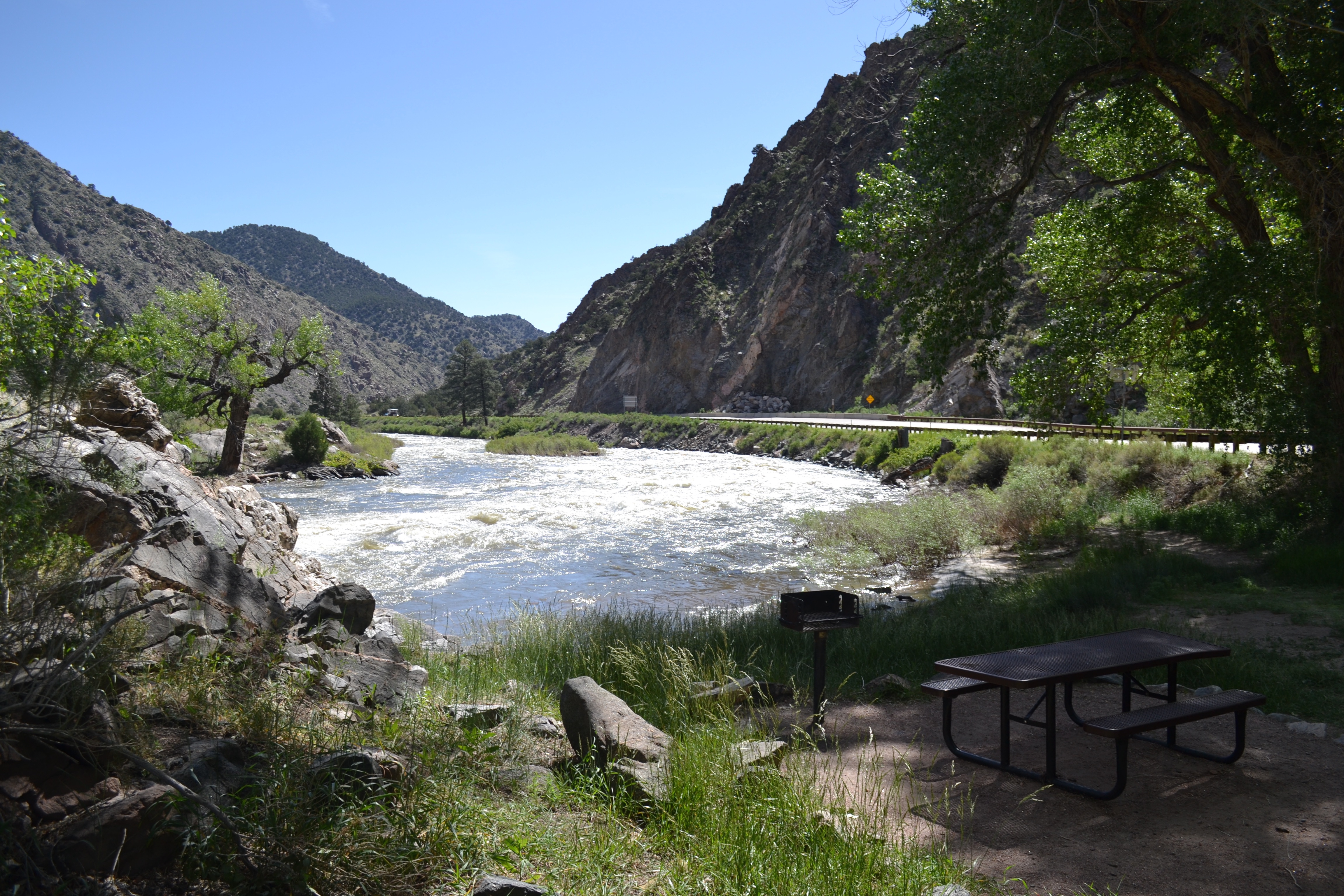
Arkansas River
Arkansas River
Texas Creek Bridge
2013-08-10 13.25.44

iphone pano
140614-04 (2014-06-15) - 0041
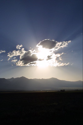
Clouds Near Westcliffe

GM_16-01-11_153241.jpg
140614-05 (2014-06-15) - 0228
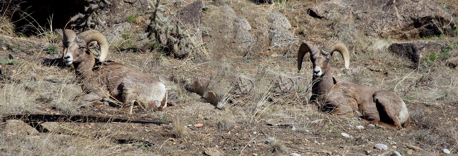
Big Horn Sheep
Topographic Map of 85 Pine Valley Rd, Cotopaxi, CO, USA
Find elevation by address:

Places near 85 Pine Valley Rd, Cotopaxi, CO, USA:
1018 Shannon Trail
247 Shannon Trail
75 Copper Gulch Rd
75 Copper Gulch Rd
Mount View Road
2849 Co Rd 27a #2
202 Kelsey Cir
135 Kelsey Ct
1231 Texas Creek Ln
1482 Texas Creek Ln
4751 Co Rd 28
941 Blazing Saddle Trail
1605 Texas Creek Ln
238 Canyon Rd
Blazing Saddle Trail
600 Canyon Rd
563 Blazing Saddle Trail
839 17th Trail
339 16th Trail
D Path
Recent Searches:
- Elevation of Lampiasi St, Sarasota, FL, USA
- Elevation of Elwyn Dr, Roanoke Rapids, NC, USA
- Elevation of Congressional Dr, Stevensville, MD, USA
- Elevation of Bellview Rd, McLean, VA, USA
- Elevation of Stage Island Rd, Chatham, MA, USA
- Elevation of Shibuya Scramble Crossing, 21 Udagawacho, Shibuya City, Tokyo -, Japan
- Elevation of Jadagoniai, Kaunas District Municipality, Lithuania
- Elevation of Pagonija rock, Kranto 7-oji g. 8"N, Kaunas, Lithuania
- Elevation of Co Rd 87, Jamestown, CO, USA
- Elevation of Tenjo, Cundinamarca, Colombia