Elevation of 82-86 Brooks Dr, Kooralbyn QLD, Australia

Location: Australia > Queensland > Scenic Rim Regional > Kooralbyn >

Longitude: 152.853473

Latitude: -28.069680

Elevation: 291m / 955feet

Barometric Pressure: 98KPa

Elevation Map:

elevation map of 82-86 Brooks Dr, Kooralbyn QLD, Australia

Satellite Map:

Satellite map of 82-86 Brooks Dr, Kooralbyn QLD, Australia

Related Photos:

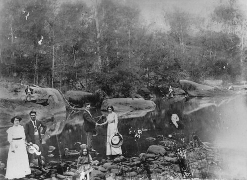
friends river rocks bigriggan queensland slq
Group of people on a day out at the river, Bigriggan, 1911
wedding 12daysofchristmas portraits love garden couples statelibraryofqueensland slq queensland riverview norasalisbury jamessalisbury rathdowney 1934 goldwedding weddinganniversary
Two turtle doves
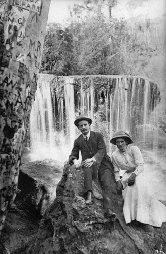
queensland statelibraryofqueensland rivers landscape edwardianfashion waterfall couple initials graffiti
Couple posing by a waterfall in the Rathdowney area Queensland
queensland statelibraryofqueensland slq rugbyunion rugby rugbyteams rugbyplayers footballers cousins
Enough cousins to make a football team - the Drynan Cousins Football Team from Rathdowney, 1932
queensland statelibraryofqueensland ww1 worldwari firstworldwar armistice peace celebrations picnic
Peace Day picnic, Rathdowney, 1918
queensland statelibraryofqueensland rivers landscape loganriver burnettcreek
Junction of the Logan River and Burnett Creek, ca. 1903
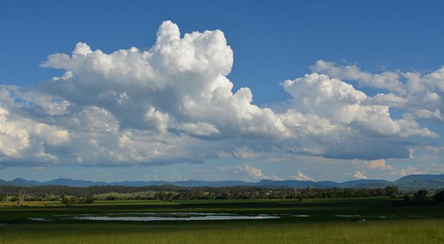
shadow landscape view australia valley cumulus wetlands queensland australianlandscape cloudscape sequeensland ruralaustralia rurallandscape tamrookum loganvalley
Logan Valley
queensland statelibraryofqueensland ww1 worldwari firstworldwar armistice peace celebrations peaceday picnic flag banner
Listening to speeches at the Peace Day picnic, Rathdowney, 1918
one 1 women queensland worldwar statelibraryofqueensland slq
Group of young women at a social gathering during World War I in Rathdowney
queensland tamrookum 10millionphotos
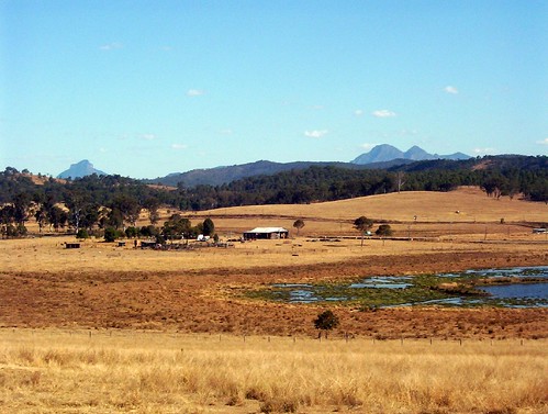
View SW from Tamrookum
water cycling tank view farm mtb dairy barney
Water Refill
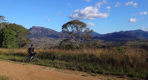
cycling maroon mtb
Darb Enjoys the View
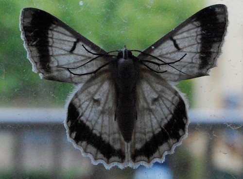
white nature insects moths closeups
Random Moth
white nature insects moths closeups
Random Moth
mist mountain rain fog clouds forest landscape countryside rainforest australianlandscape distant lamingtonnationalpark thelostworld australianmountains mcphersonrange albertvalley mountrazorback
The Lost World
sky landscape australia deadtree queensland storms cloudscape sequeensland sunlitclouds loganvalley sunlightthroughclouds josephville
near Josephville
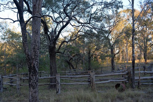
trees landscape shadows australia queensland enclosure lateafternoon sequeensland historicstructures rathdowney timberstructure loganvalley cattleyards
old yards
hills mountains landscape australianlandscape loganvalley sequeensland queensland australia autumn roundmountain geology volcanics
Round Mountain
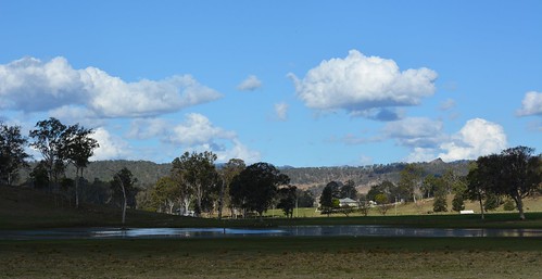
trees light clouds reflections landscape shadows bluesky lagoon valley fields wetland cloudshadow sunlitground afternoonlandscape pwpartlycloudy
Rathdowney wetland
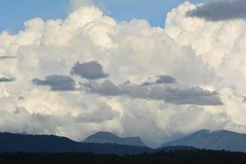
clouds landscape australia cumulus queensland australianlandscape cloudscape lamingtonnationalpark lostworld sequeensland australianweather macphersonrange
to the Lost World
trees sunlight landscape shadows australia pasture bark queensland trunk treebark australianlandscape landuse deadtrees grazingland environmentaldamage sequeensland ruralaustralia rathdowney rurallandscape loganvalley eucalyptustereticornis forestredgum sunlitground afternoonlandscape
suffering and death
creek countryside sand australia queensland sequeensland cannoncreek loganvalley creekscape laravale
Cannon Creek
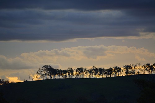
trees sunset skyline clouds landscape countryside sundown horizon australia ridge queensland cloudscape sequeensland loganvalley allancreek
near Allan Creek
dam wyaralongdam scenicrim southeastqueensland boonah beaudesert boonahbeaudesertroad storm blackclouds clouds panorama msice msicepanorama pano
Storm over Wyaralong Dam off the Boonah-Beauderst Rd, Scenic Rim, South East Queensland
clouds landscape countryside day shadows cloudy australia cloudscape sequeensland ruralaustralia loganvalley josephville
shadowplay near Josephville
trees woodland australia bark queensland trunks angophora myrtaceae sequeensland rathdowney loganvalley australiantrees smoothbarkedapplegum angophoraleiocarpa
Angophora leiocarpa
road autumn sky building landscape shadows overcast australia queensland fields australianlandscape cloudscape lateafternoon sequeensland tamrookum sunlitclouds tamrookumhall
Tamrookum Hall
sunset sky clouds landscape countryside sundown australia queensland cloudscape sequeensland ruralaustralia loganvalley bromelton mountjuberra
sunset, Mount Juberra
autumn sky landscape cloudy overcast australia lagoon queensland australianlandscape lateafternoon floodplain sequeensland loganvalley afternoonlandscape tamrookumlagoon
Tamrookum Lagoon
cloudscape cumulonimbus laravale loganvalley sequeensland queensland clouds sky australia australianweather summer poststorm landscape
near Laravale
vhdqf ykbn 2007 skyaction cessna182 cessna accidents aviationwrecksandrelics
VH-DQF Crash Site 26.08.07
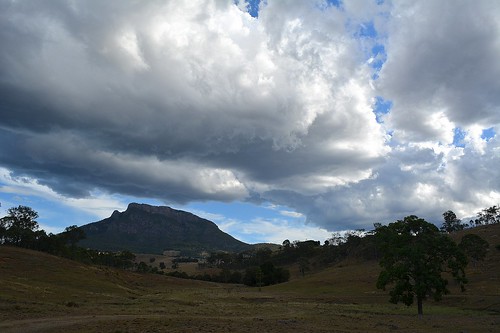
sky mountain storm clouds landscape countryside day sill australia queensland australianlandscape cloudscape sequeensland ruralaustralia volcanics rurallandscape loganvalley burnettcreek australianweather mountmaroon mountbarneynationalpark nationalparksandnaturereserves wahlmoorum
Wahlmoorum / Mt Maroon